7 PRIORY CRESCENT
NEWPORT, LANGSTONE, NEWPORT NP18 2JF
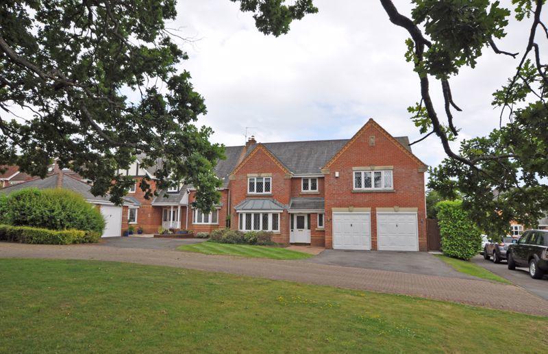
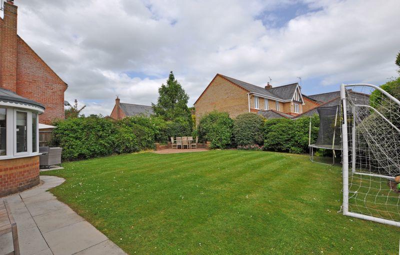
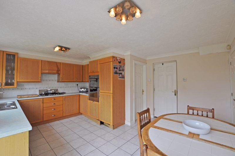
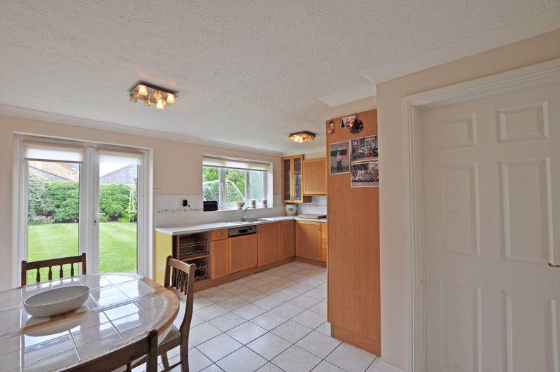
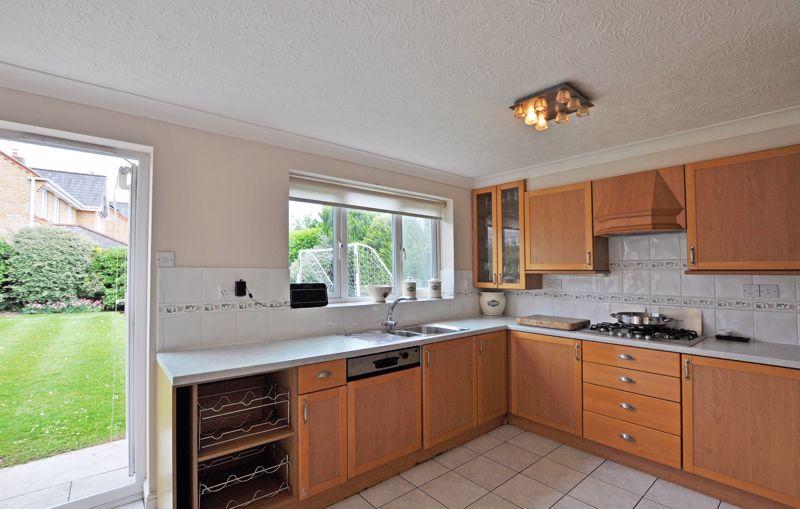
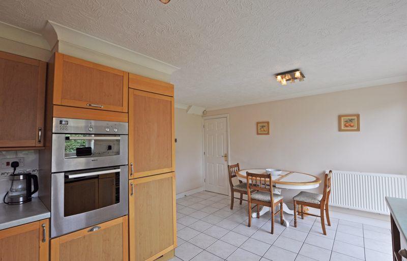
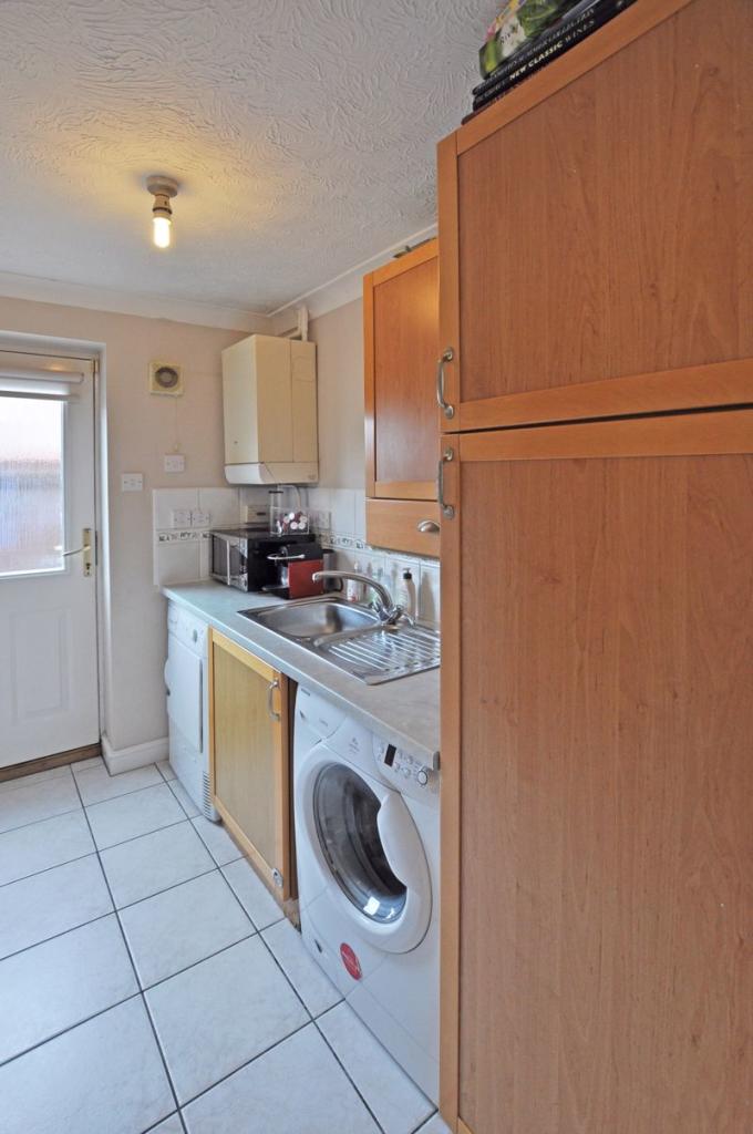
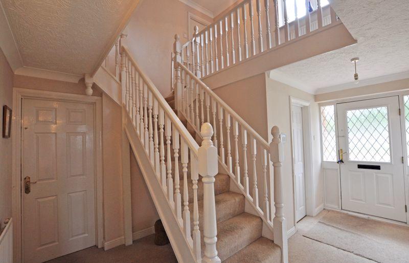
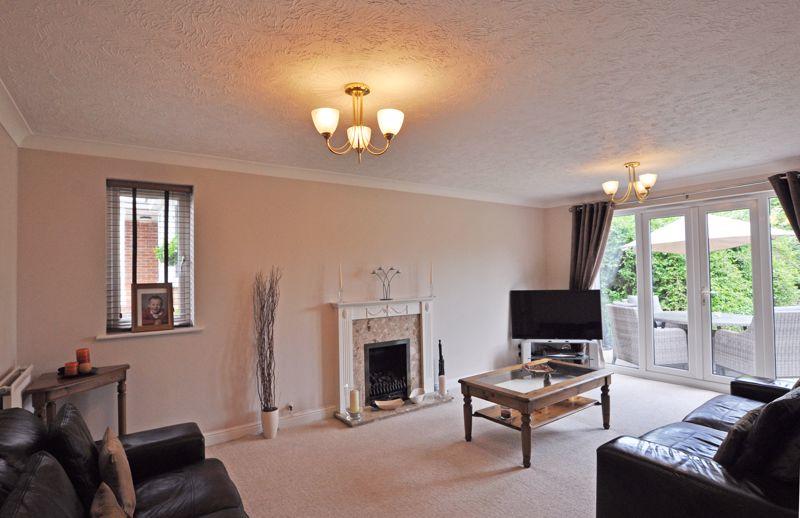
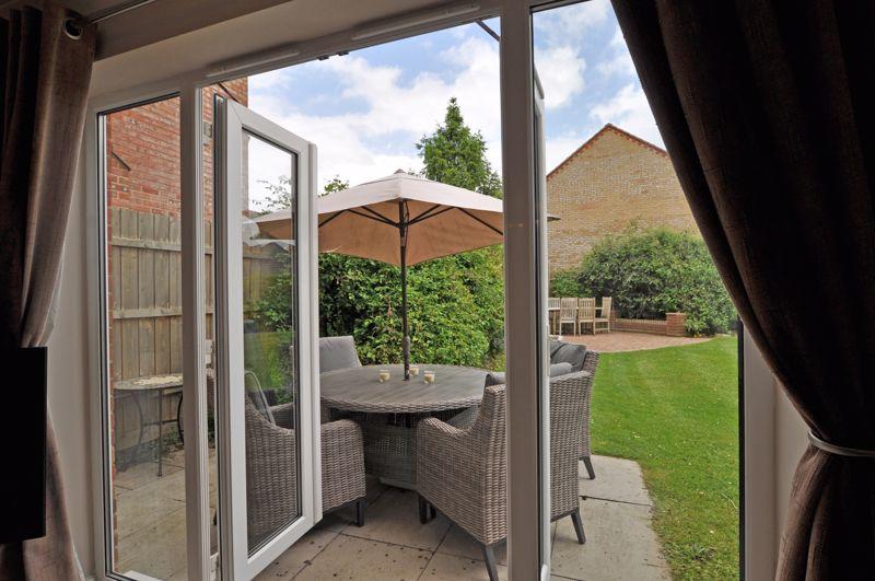
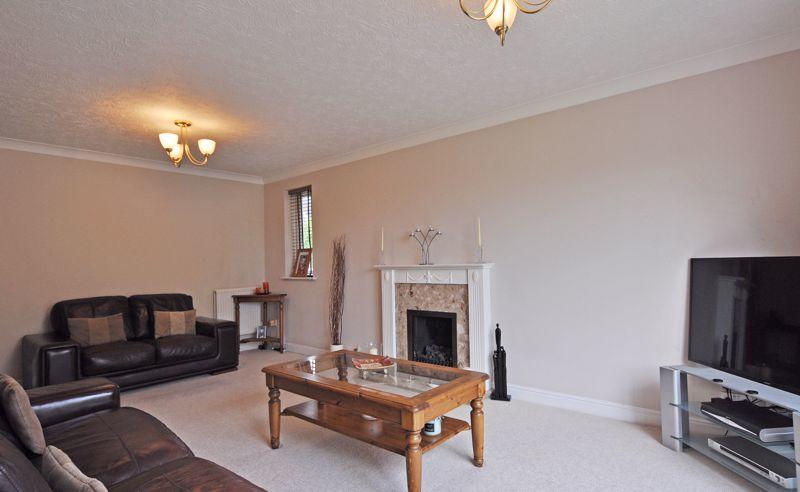
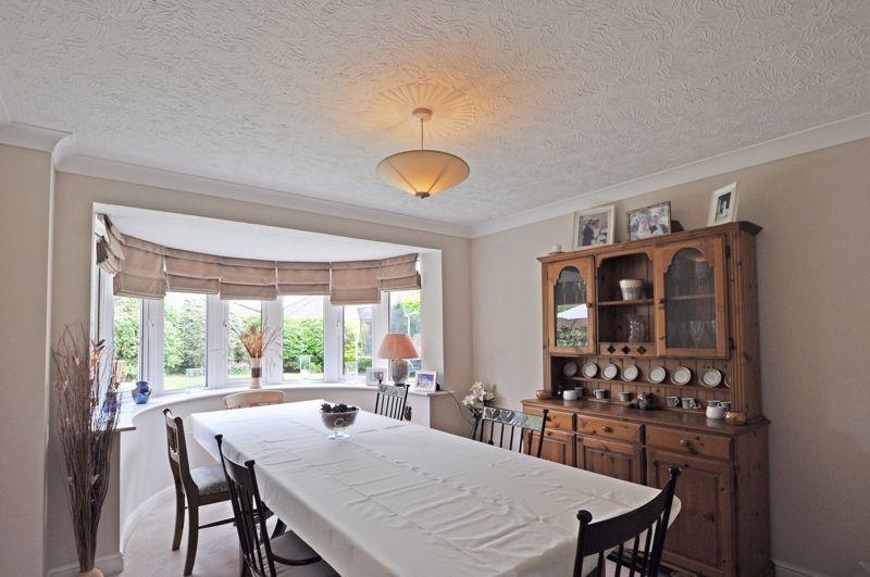
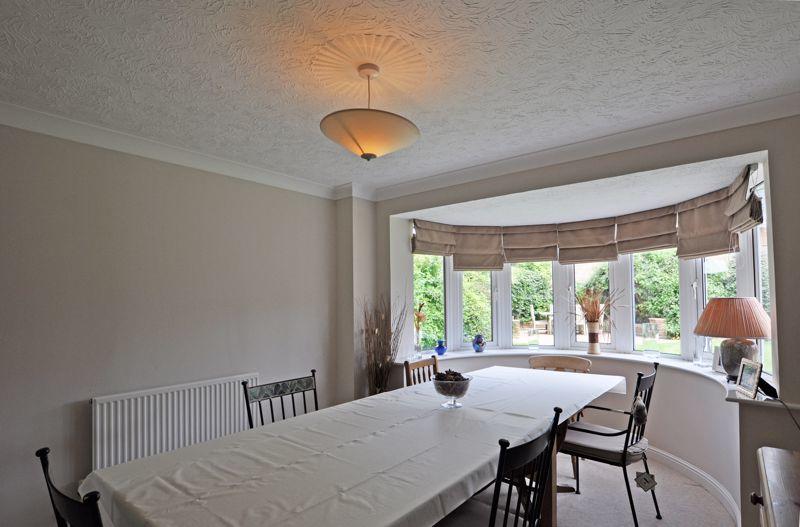
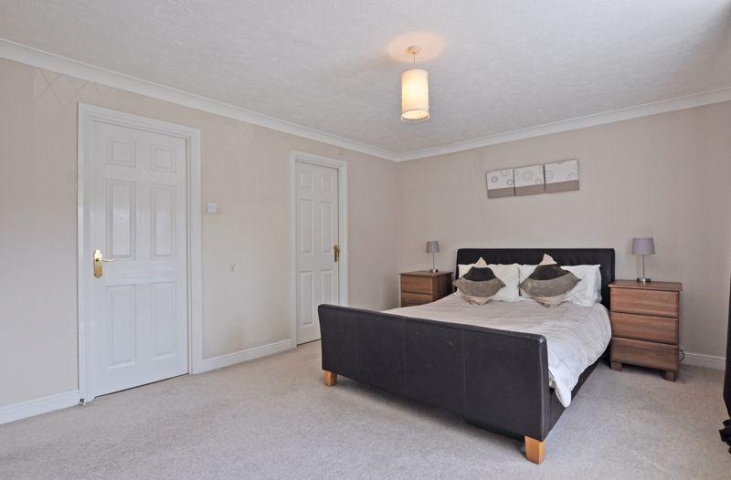
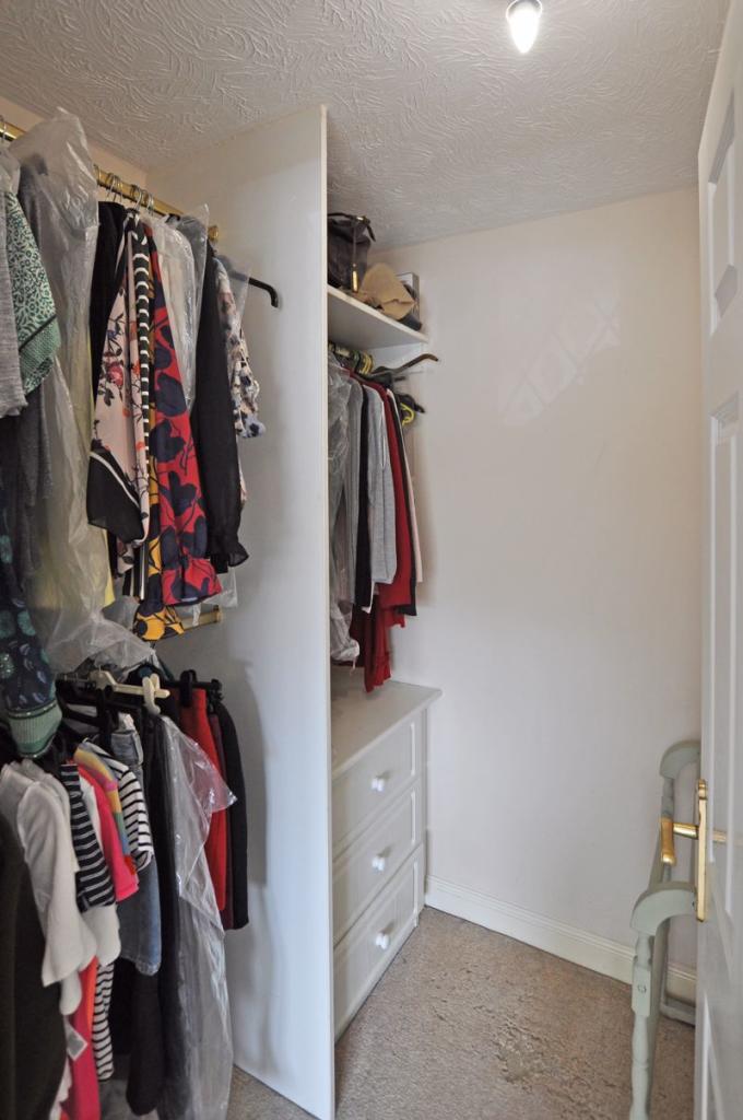
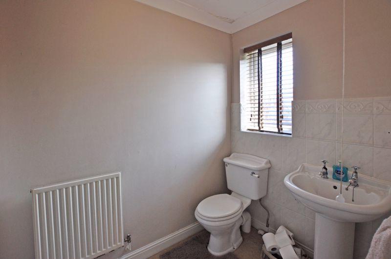
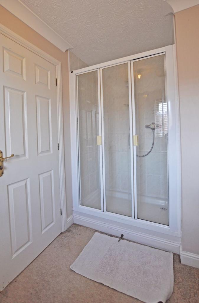
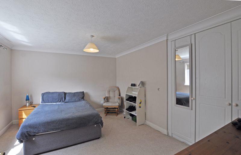
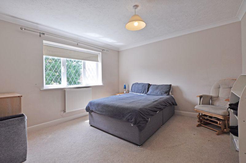
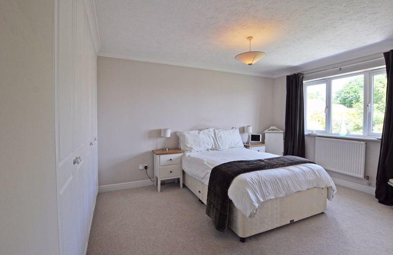
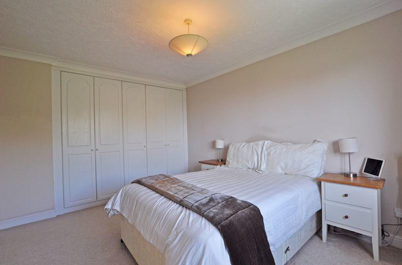
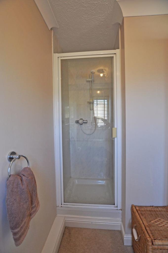
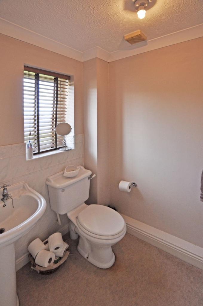
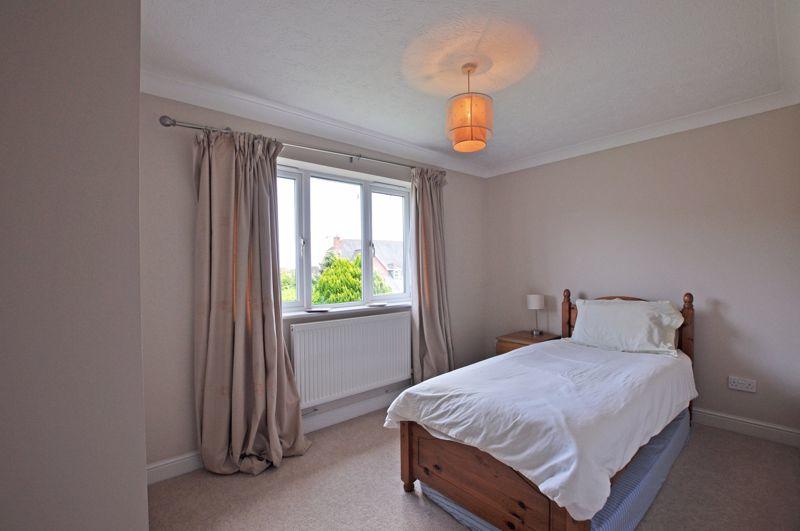
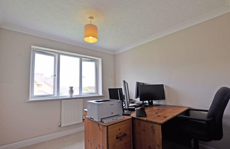
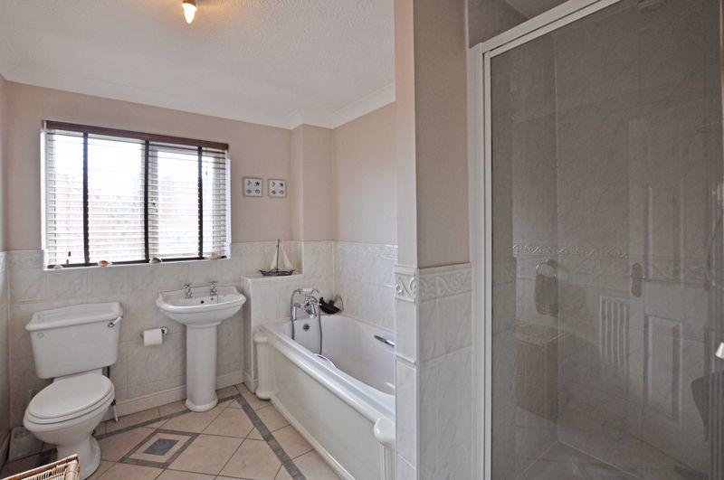
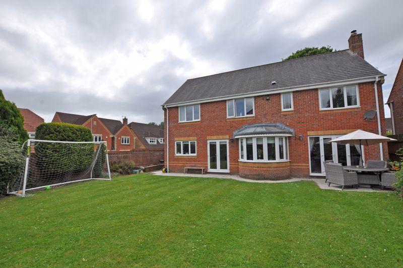
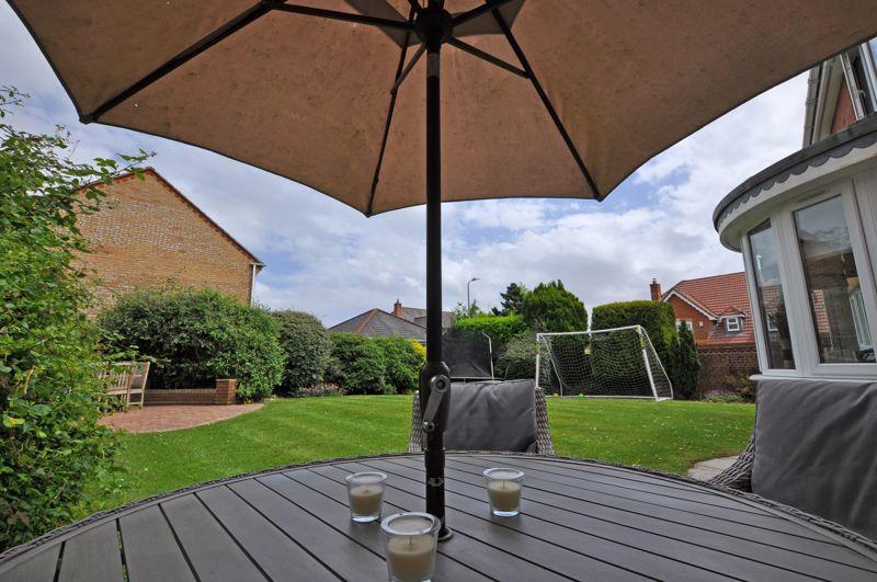
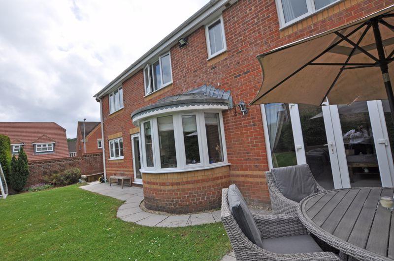
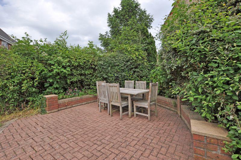
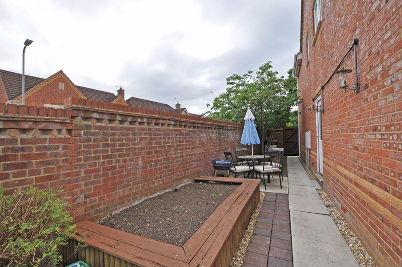
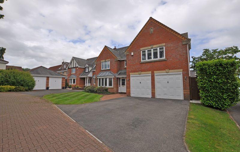
Photo 1 Photo 2 Photo 3 Photo 4 Photo 5 Photo 6 Photo 7 Photo 8 Photo 9 Photo 10 Photo 11 Photo 12 Photo 14 Photo 13 Photo 15 Photo 16 Photo 17 Photo 18 Photo 19 Photo 20 Photo 21 Photo 22 Photo 23 Photo 24 Photo 25 Photo 26 Photo 27 Photo 28 Photo 30 Photo 29 Photo 31 Photo 32 Photo 33 Photo 34 Photo 35 Photo 36 Photo 37 Photo 38 Photo 39
/ 39
Property details
Floor area
169 m²
Last sold
£552,500 Feb 2023
Local average
£399,540 (+42.7%)
Street crime
0 incidents within 1 mile (Apr 2026)
Key features
- EXECUTIVE FAMILY HOUSE
- SUPERB, SOUGHT AFTER LOCATION
- CLOSE TO M4 J24
- EXCELLENT SCHOOL CATCHMENT
- FIVE BEDROOMS
- THREE BATHROOMS
- THREE RECEPTION ROOMS
- FAMILY KITCHEN DINER
- UTILITY & CLOAKROOM
- ATTRACTIVE LAWNED GARDENS
Additional details
- Parking
- Yes
- Garden
- Yes
Description
Listed by
Newport
Crook & Blight
Reference: 124002146
EPC Rating & Upgrade Cost
Fetching EPC data… Refresh this page in a moment.
Flood risk
Zone: 1
Risk: Low
Job (default Low)
Price history
182% since 2000
| Event | Date | Price | % change |
|---|---|---|---|
| Sold | 20/02/2023 (3 years ago) | £552,500 | +45.4% |
| Sold | 02/11/2006 (19 years ago) | £380,000 | +93.9% |
| Sold | 24/02/2000 (26 years ago) | £195,995 | — |
Source: HM Land Registry Price Paid Data. Crown copyright.
Sold Comparables
Same street and nearby sales within 0.25 miles (last 5 years). Data from Land Registry Price Paid.
| Address | Price | Date | Type |
|---|---|---|---|
| DANESBURY CHEPSTOW ROAD, LANGSTONE, NEWPORT, NP18 2LU | £395,000 | 12/12/2025 | Detached |
| 20 MAPLEWOOD, LANGSTONE, NEWPORT, NP18 2AP | £337,500 | 28/11/2025 | Detached |
| EASEDALE CHEPSTOW ROAD, LANGSTONE, NEWPORT, NP18 2LU | £462,500 | 08/08/2025 | Detached |
| 6 PRIORY GROVE, LANGSTONE, NEWPORT, NP18 2NY | £370,000 | 09/12/2024 | Detached |
| 8 PRIORY VIEW, LANGSTONE, NEWPORT, NP18 2NZ | £310,000 | 26/10/2023 | Detached |
| 27 MAPLEWOOD, LANGSTONE, NEWPORT, NP18 2AN | £329,000 | 28/09/2023 | Detached |
| 11 STOCKWOOD CLOSE, LANGSTONE, NEWPORT, NP18 2NW | £330,000 | 31/08/2023 | Detached |
| 3 PRIORY DRIVE, LANGSTONE, NEWPORT, NP18 2JD | £540,000 | 09/08/2023 | Detached |
| 5 BLOSSOM CLOSE, LANGSTONE, NEWPORT, NP18 2LT | £302,000 | 19/04/2023 | Detached |
| 5 STOCKWOOD CLOSE, LANGSTONE, NEWPORT, NP18 2NW | £380,000 | 03/03/2023 | Detached |
| 18 PRIORY GARDENS, LANGSTONE, NEWPORT, NP18 2JG | £480,000 | 31/10/2022 | Detached |
| 15 BLOSSOM CLOSE, LANGSTONE, NEWPORT, NP18 2LT | £360,000 | 28/10/2022 | Detached |
| 39 MAPLEWOOD, LANGSTONE, NEWPORT, NP18 2AN | £385,000 | 02/09/2022 | Detached |
| 3 BLOSSOM GROVE, LANGSTONE, NEWPORT, NP18 2QJ | £482,500 | 26/08/2022 | Detached |
| 14 BLOSSOM CLOSE, LANGSTONE, NEWPORT, NP18 2LT | £335,000 | 05/08/2022 | Detached |
| 8 BAILEY CRESCENT, LANGSTONE, NEWPORT, NP18 2BL | £330,000 | 24/06/2022 | Detached |
| 14 STOCKWOOD CLOSE, LANGSTONE, NEWPORT, NP18 2NW | £380,500 | 22/06/2022 | Detached |
| 15 PRIORY VIEW, LANGSTONE, NEWPORT, NP18 2NZ | £237,500 | 20/05/2022 | Detached |
| 9 PRIORY VIEW, LANGSTONE, NEWPORT, NP18 2NZ | £450,000 | 11/02/2022 | Detached |
| 23 PRIORY GARDENS, LANGSTONE, NEWPORT, NP18 2JG | £450,000 | 11/02/2022 | Detached |
Area average: £382,325 (20 sales)
Capital growth trend
Land Registry outcode average: last 12 months vs 5y and 10y ago (from sold prices).
House Price Index (HM Land Registry — official index, not sold-price averages): Newport. Series: Detached. As of March 2026.
Rental Range
Estimated market rent for Newport. Low = conservative, Realistic = average, Optimistic = best case.
Based on Local Authority from postcode lookup → Newport.
Location
Nearby
Nearest stations, universities and amenities (distance from property).
| Type | Name | Distance |
|---|---|---|
| Bus stop | Taylors Cafe | 0.1 miles |
| Shop | Integra Business Solutions | 0.1 miles |
| Shop | Halse Nurseries | 0.9 miles |
| University | University of South Wales (Newport City Campus) | 3.5 miles |
| University | National Software Academy (Cardiff University) | 3.7 miles |
| Train station | Newport | 3.8 miles |
| Hospital | Minor Injuries Unit | 3.9 miles |
| Hospital | St Anne's Hospice | 4.0 miles |
| Train station | Pye Corner | 5.7 miles |
Street-level crime
| Category | Count |
|---|---|
| Total incidents | 0 |
Within 1 mile during Apr 2026. Source: data.police.uk (England & Wales).
Schools nearby
Nearest open schools with Ofsted ratings (England). Closed schools are not shown. Data from Get Information about Schools and Ofsted.
| Name | Type | Distance | Ofsted |
|---|---|---|---|
| Langstone Primary School | Other | 1.2 miles | — (No rating) |
| Llanmartin Primary School | Other | 1.2 miles | — (No rating) |
| St Gabriel's R.C. Primary School | Other | 1.3 miles | — (No rating) |
| Ringland Primary | Other | 1.5 miles | — (No rating) |
| Llanwern High School | Other | 1.6 miles | — (No rating) |
Rental Comparables
Loading rental comparables for this postcode. Refresh in a few minutes.
Rent-driven metrics
Based on Area rent estimate.
- Rent ratio — Monthly rent ÷ purchase price (1% rule). 1%+ = strong, 0.8–1% = okay, <0.8% = weak for cashflow.
- Max investor price — Rent ÷ 0.8%; the price at which rent would be 0.8% of price (Stoke-style target).
- Target investor price — Rent ÷ 1%; the price at which rent would be 1% of price (strong cashflow band).
- Gross yield — Annual rent as % of purchase price (no costs).