24 RUSSELL STREET
NEWCASTLE, STAFFORDSHIRE ST5 8BL
£750 pcm
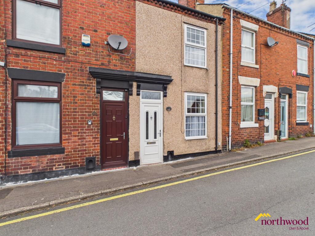
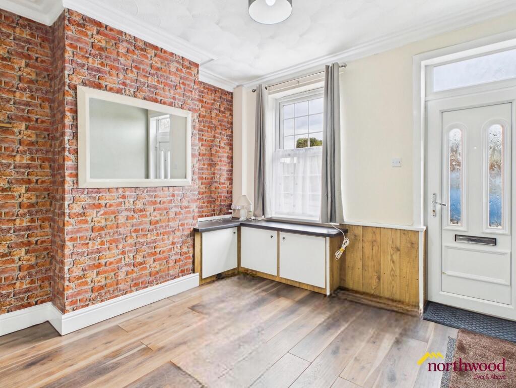
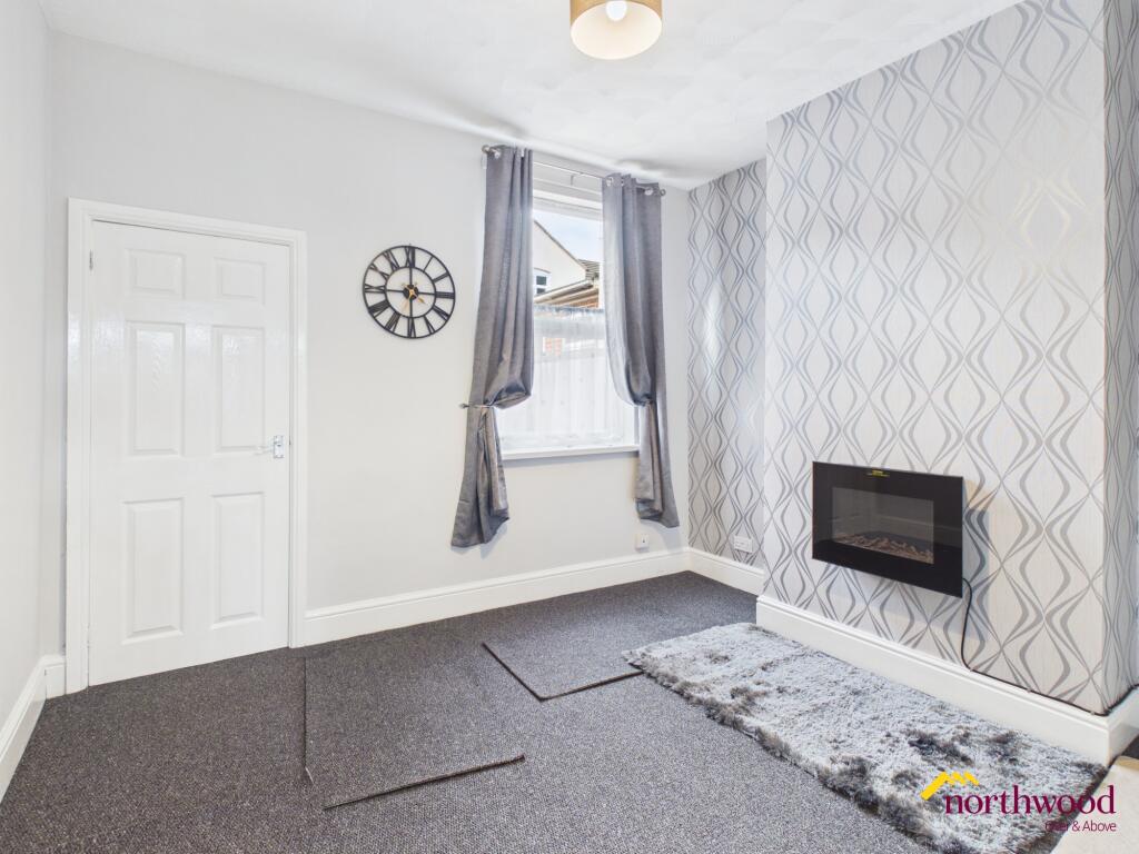
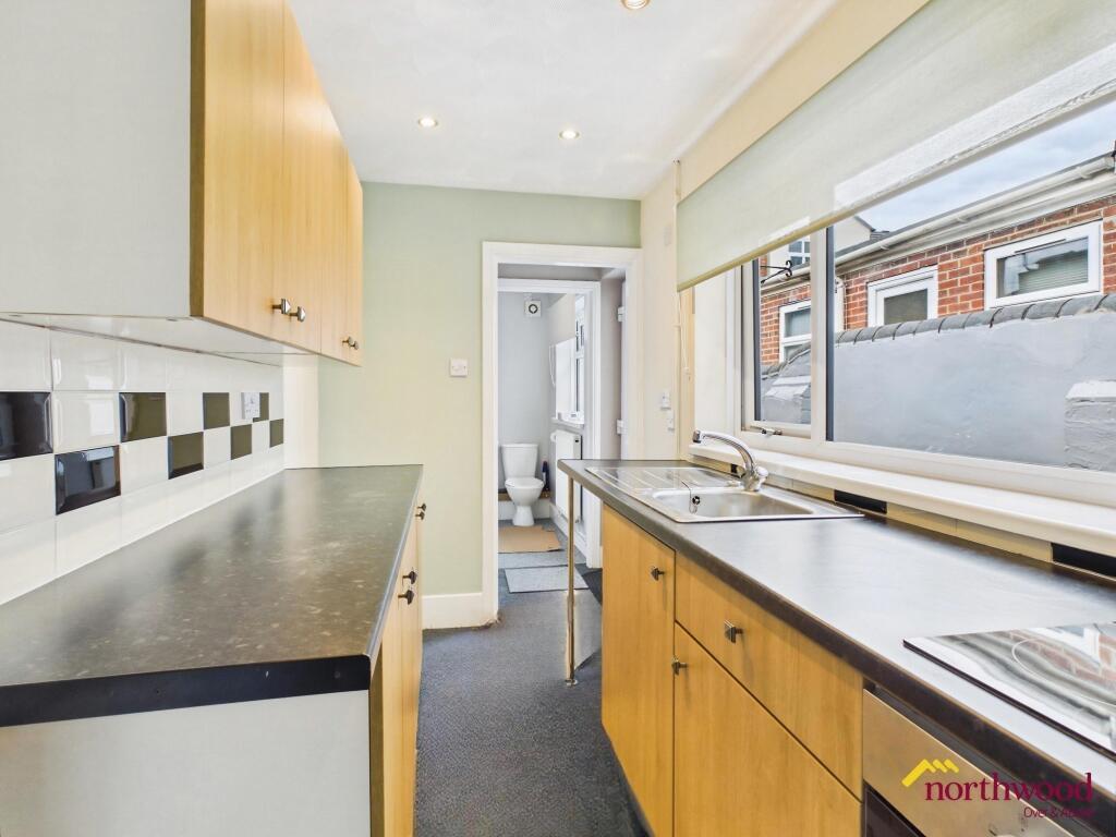
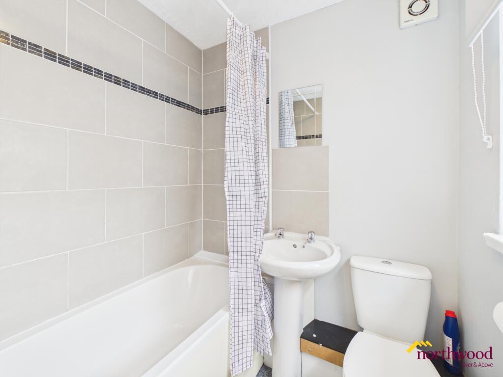
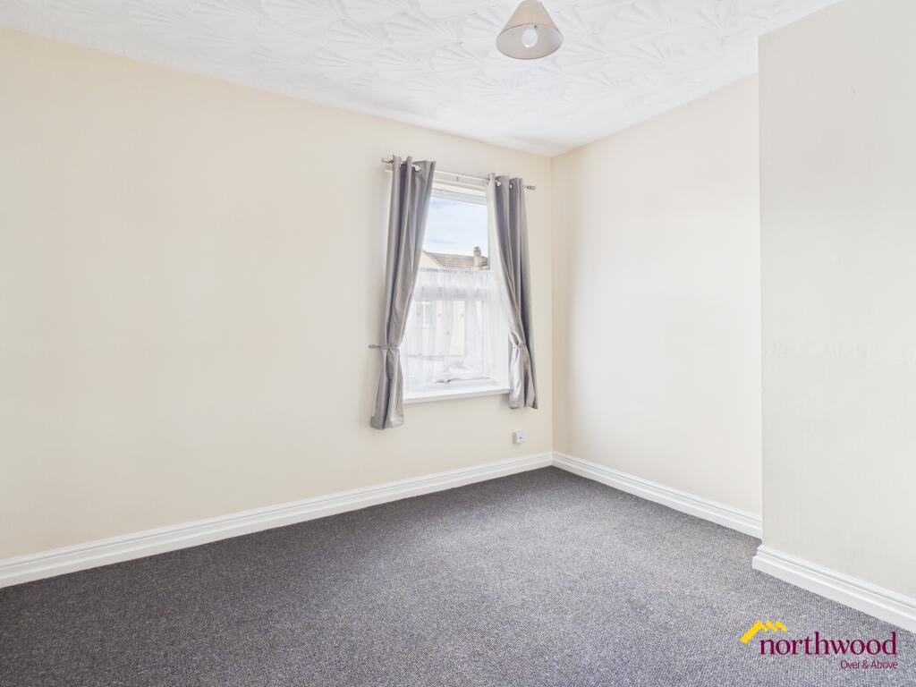
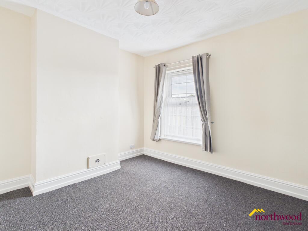
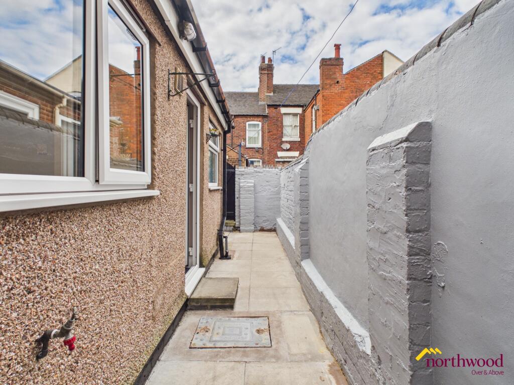
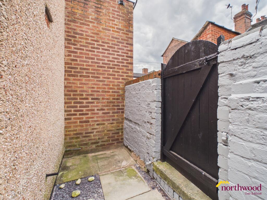
Photo 1 Photo 2 Photo 3 Photo 4 Photo 5 Photo 6 Photo 7 Photo 8 Photo 9
/ 9
Property details
Floor area
68 m²
Deprivation
Decile 6 (17,214 of 33,755)
Street crime
184 incidents within 1 mile (Apr 2026)
Additional details
- Parking
- Yes
- Garden
- Private garden
- Listed property
- No
Description
To the rear of the property, a private yard presents opportunities for outdoor enjoyment, gardening, or simply unwinding in a secluded setting. The building is of a traditional terraced house style, blending in with the surrounding architectural character of the area. While parking arrangements have not been specified, the overall arrangement of the property delivers practical living solutions.
The property will be available from 11 May 2026. The deposit for this property is £865.
Local area
Situated within Wolstanton, in Newcastle-under-Lyme, Staffordshire, the property enjoys a location that offers convenient access to a range of amenities and facilities. The local community benefits from a variety of retail, educational, and leisure options, contributing to a well-supported residential environment. Excellent transport links connect the area to surrounding towns and the wider Staffordshire region, enhancing accessibility for commuters and visitors alike. EPC rating: C.
Listed by
Stoke-on-Trent
The Property Franchise Group
Reference: 88218414
EPC Rating & Upgrade Cost
Fetching EPC data… Refresh this page in a moment.
Flood risk
Zone: 1
Risk: Low
Job (default Low)
Floorplans
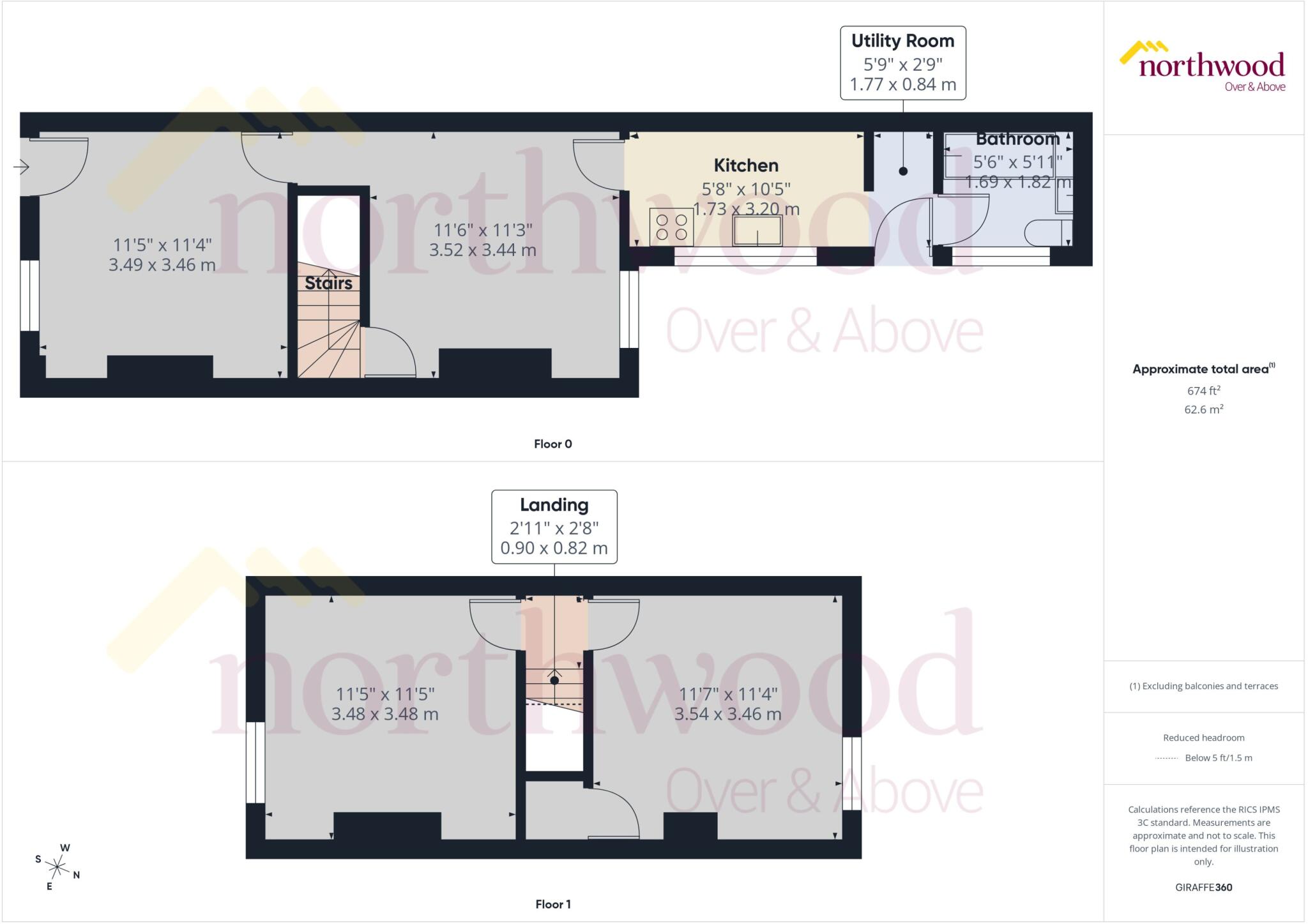
Floorplan
EPC Graphs

EPC Certificate
Rental Range
Estimated market rent for Newcastle-under-Lyme. Low = conservative, Realistic = average, Optimistic = best case.
Based on Local Authority from postcode lookup → Newcastle-under-Lyme.
LHA (30th percentile) floor for Staffordshire North: £479/mo (Apr 2025 – Mar 2026)
Location
Nearby
Nearest stations, universities and amenities (distance from property).
| Type | Name | Distance |
|---|---|---|
| Bus stop | Morris Square | 0.1 miles |
| Shop | Coral | 0.1 miles |
| Bus stop | Marsh Avenue | 0.1 miles |
| Shop | Asda | 0.1 miles |
| Train station | Longport | 0.7 miles |
| Hospital | Bradwell Hospital | 1.0 miles |
| Hospital | St Augustine's Hospital | 1.3 miles |
| Train station | Silverdale | 1.9 miles |
| University | University of Staffordshire Stoke Campus | 2.2 miles |
Street-level crime
| Category | Count |
|---|---|
| Violence and sexual offences | 65 |
| Anti-social behaviour | 47 |
| Public order | 16 |
| Criminal damage and arson | 15 |
| Other theft | 10 |
| Vehicle crime | 10 |
| Burglary | 9 |
| Other crime | 7 |
| Shoplifting | 4 |
| Possession of weapons | 1 |
| Total incidents | 184 |
Within 1 mile during Apr 2026. Source: data.police.uk (England & Wales).
Schools nearby
Nearest open schools with Ofsted ratings (England). Closed schools are not shown. Data from Get Information about Schools and Ofsted.
| Name | Type | Distance | Ofsted |
|---|---|---|---|
| Ellison Primary Academy | Primary | 0.1 miles | Good — 14 Sep 2023 |
| Cedars - Newcastle, Moorlands and Darwin Bases | Other | 0.2 miles | Good — 26 Jun 2015 |
| St Margaret's CofE (VC) Junior School | Primary | 0.2 miles | Good — 1 May 2014 |
| St Wulstan's Catholic Primary School | Primary | 0.3 miles | Good — 19 Jul 2013 |
| Oaklands Nursery School | Nursery | 0.3 miles | Outstanding — 15 Feb 2013 |
Rental Comparables
Residential lets from OpenRent and Rightmove for the area (same bedroom count). Use to validate rent estimates. Student lets are excluded.
Average rent: £842/mo (54 listings)