Storehouse Way
Havant, PO9 3FG
£2,000 pcm
Property details
Deprivation
Decile 8 (26,165 of 33,755)
Street crime
51 incidents within 1 mile (Mar 2026)
Key features
- BRAND NEW
- INTEGRATED APPLIANCES
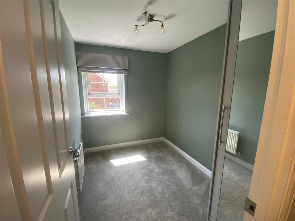
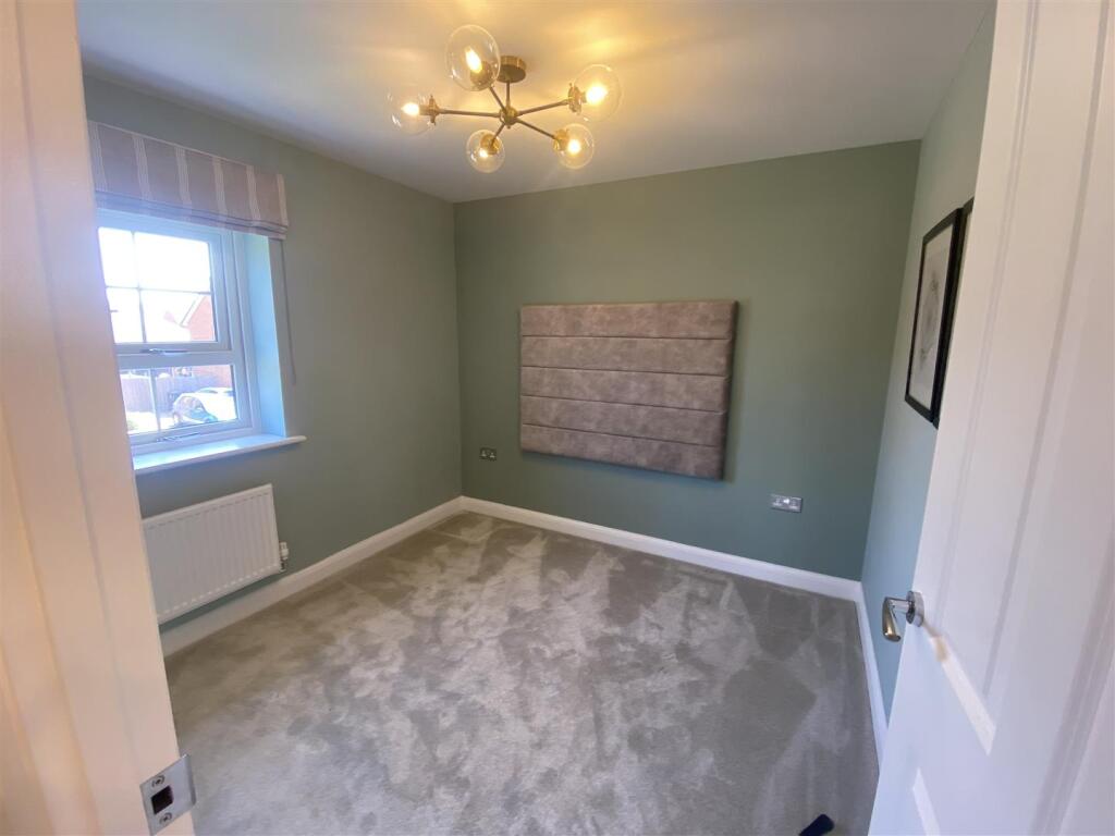
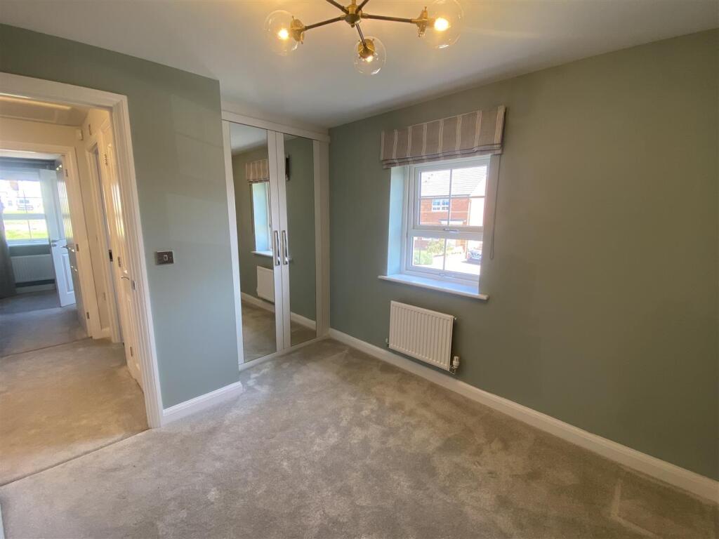
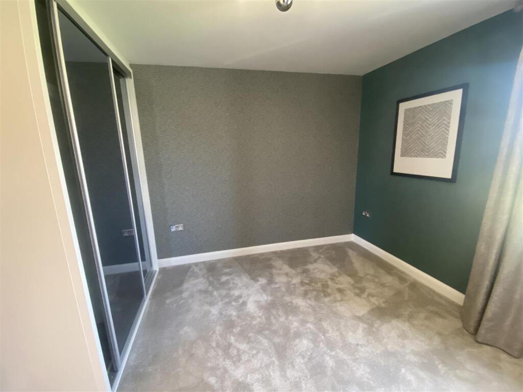
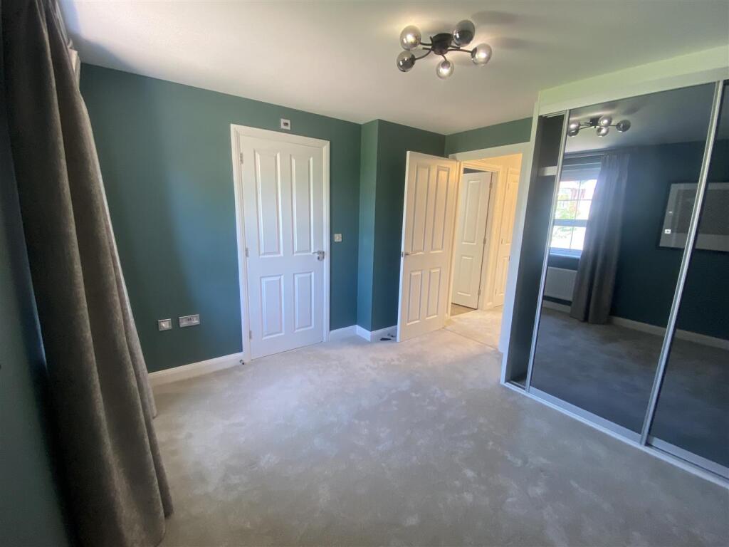
- 3 BEDROOMS
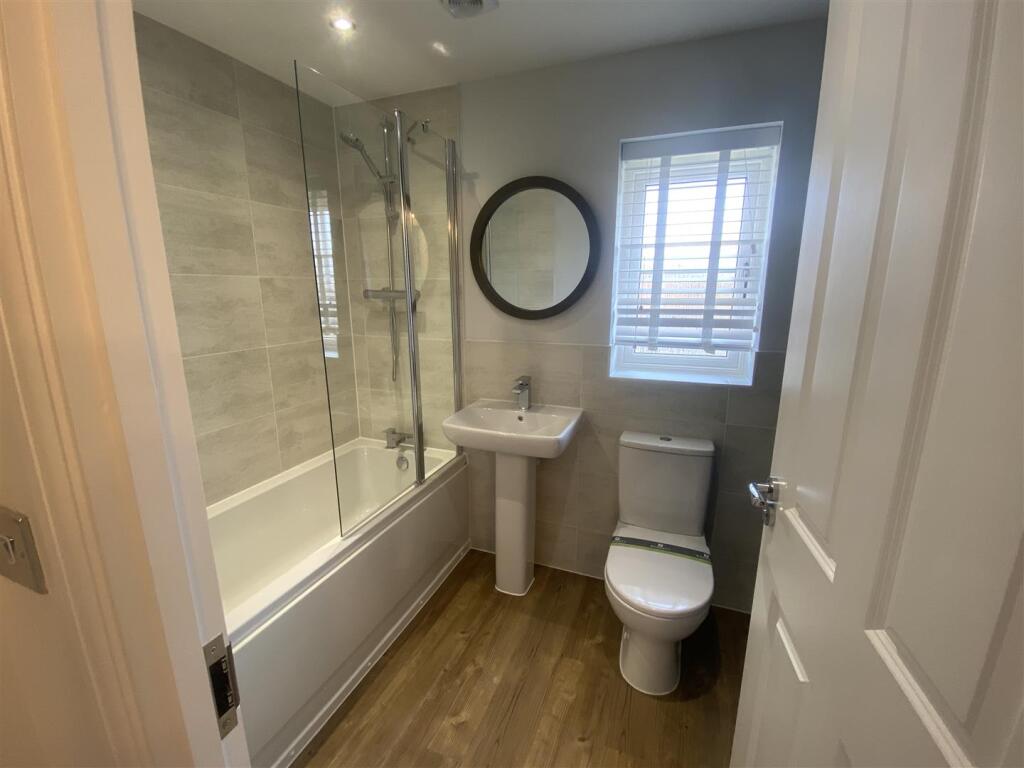
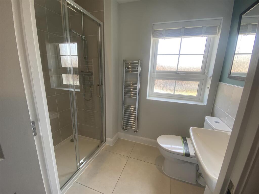
- 2 BATHROOMS
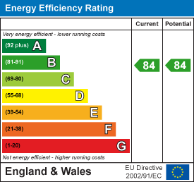
- EPC RATING B
- DOUBLE GLAZING
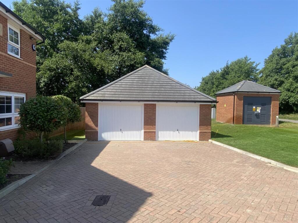
- DRIVEWAY
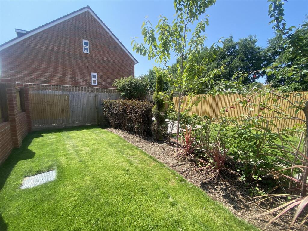
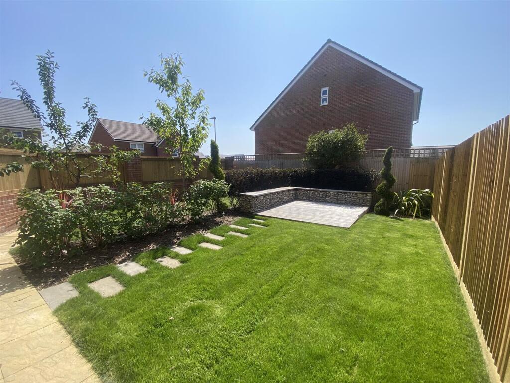
- ENCLOSED REAR GARDEN
Additional details
- Electricity
- Mains supply
- Water
- Mains supply
- Heating
- Gas central
- Parking
- Yes
- Garden
- Yes
Description
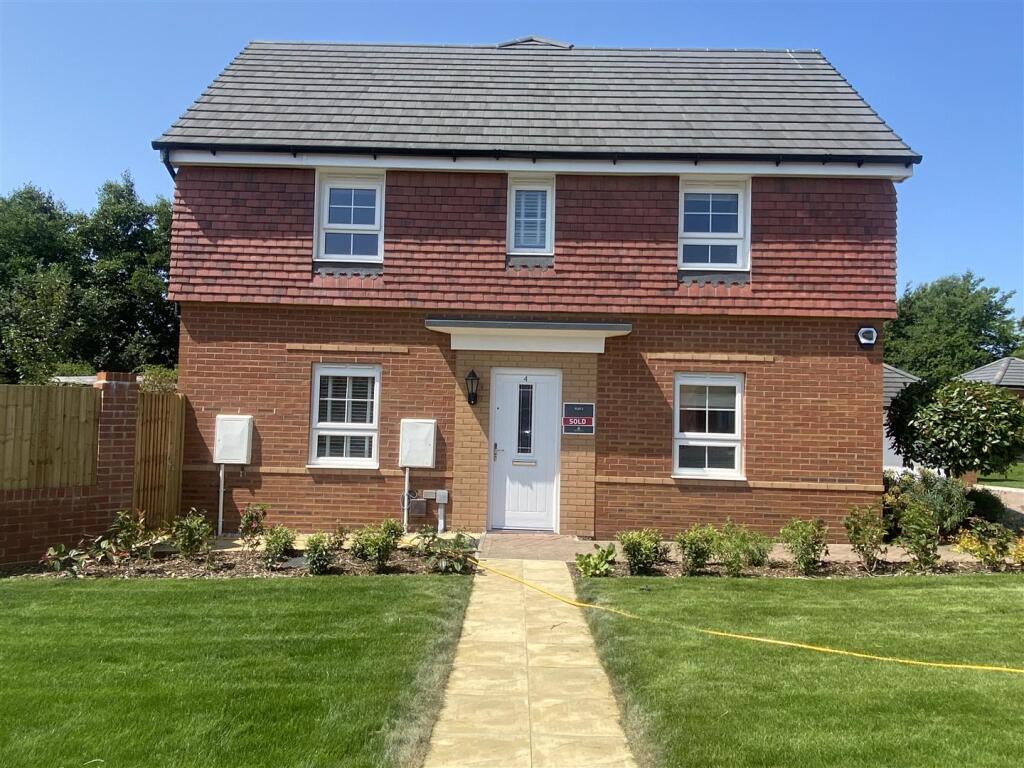
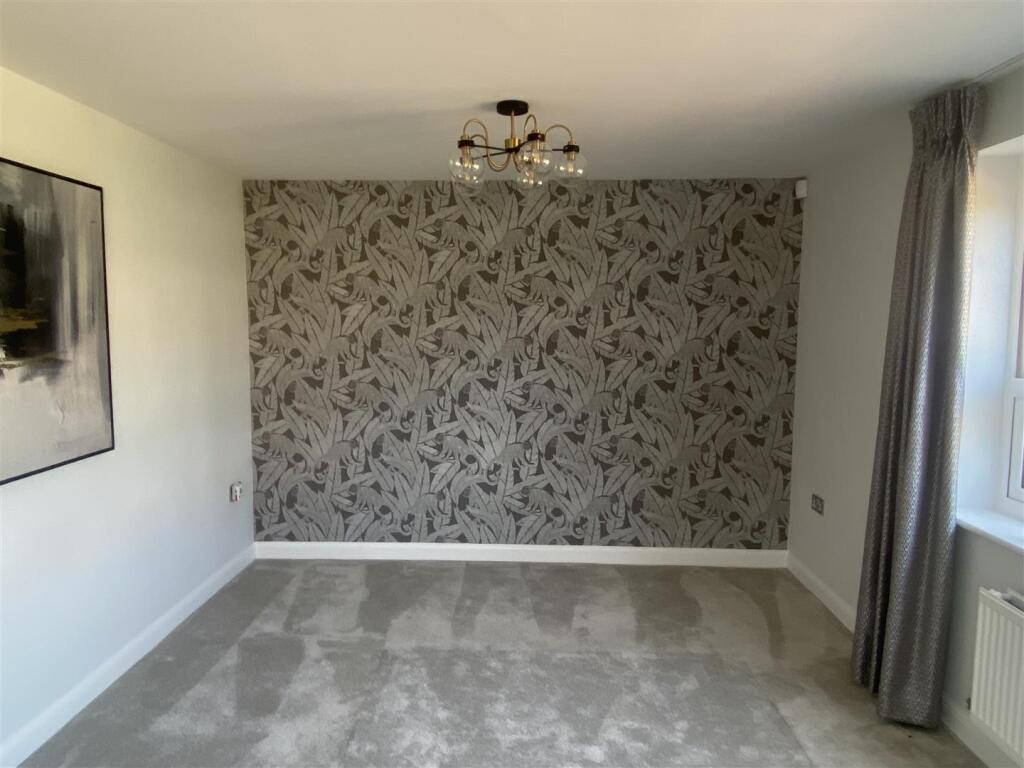
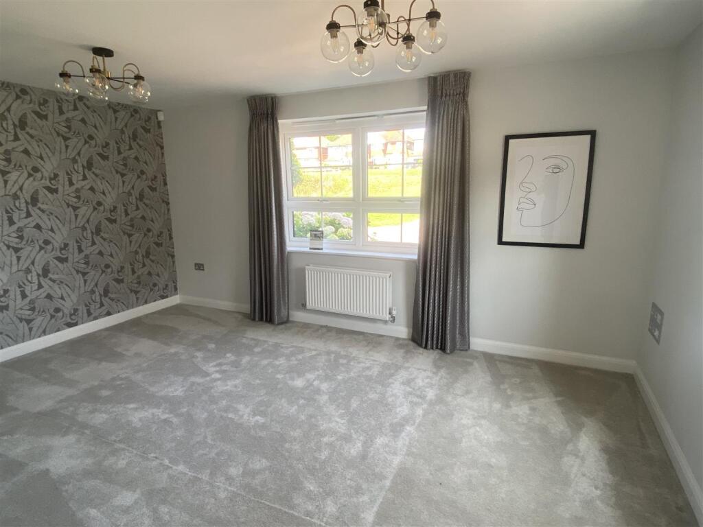
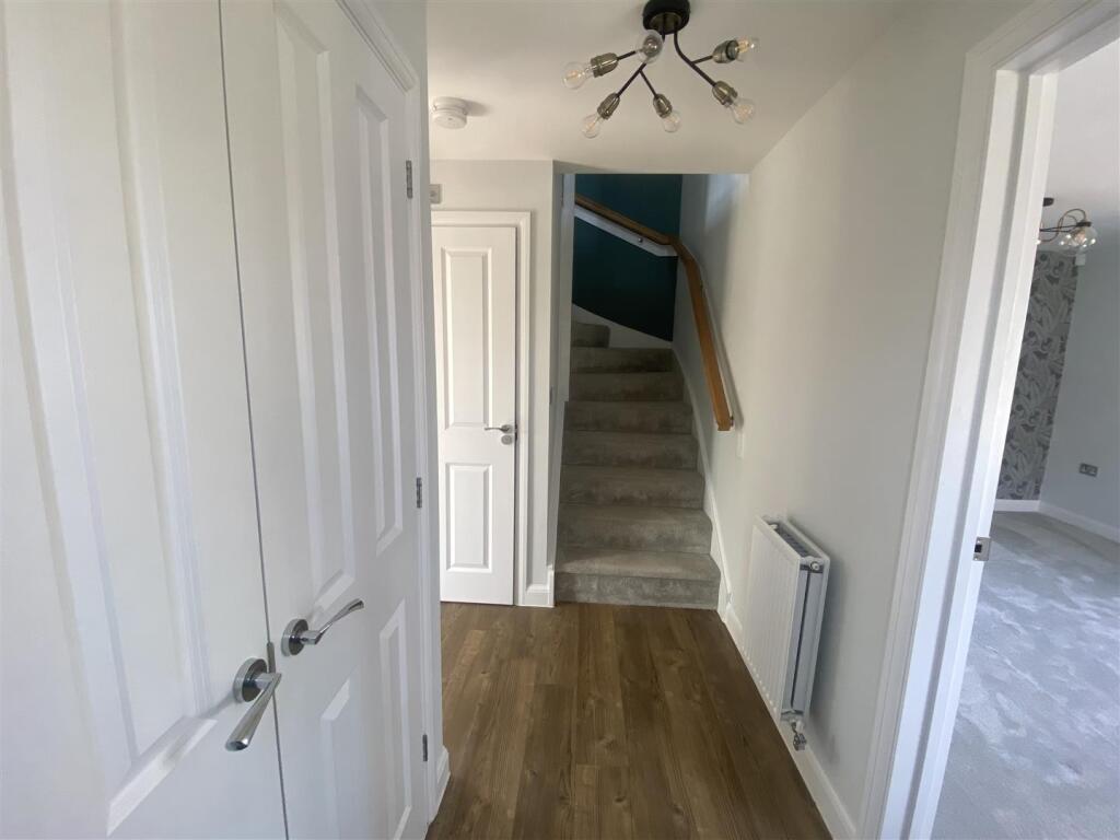
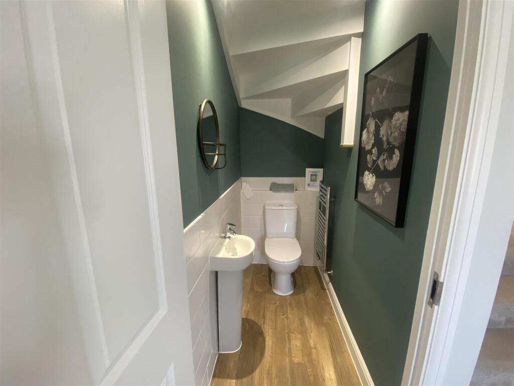
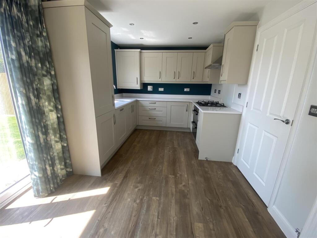
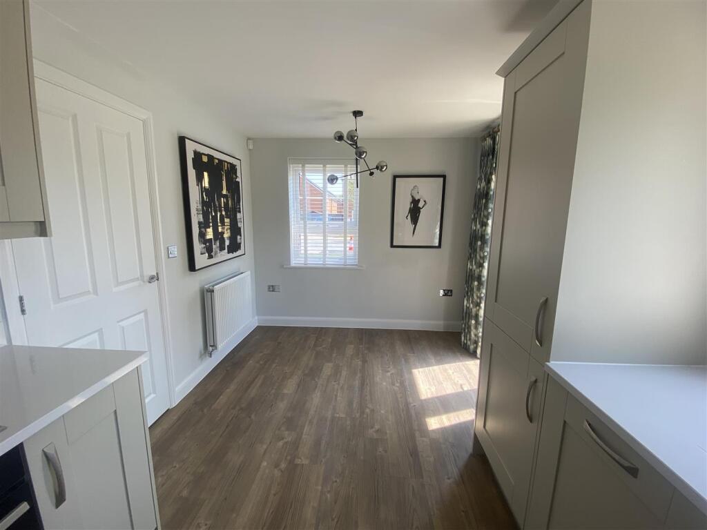
Entering the property you have the entrance hallway, downstairs W.C and a spacious lounge. The property has open plan kitchen/ diner with integrated fridge/freezer, oven/hob, washing machine and dishwasher. Access to a spacious enclosed rear garden. Two double bedrooms and one single bedroom, master with ensuite and a family bathroom. The property also benefits double glazing, integrated appliances, own garage and driveway.
Surely not to hang around for long, to avoid disappointment, please get in touch with us for a viewing.
Tenancy Length: 12 month tenancies renewed annually (6 month tenancies can be discussed). Pets will be considered at an additional rent of £25 per month, per pet.
*All applicants will be credit checked and fully referenced prior to a tenancy commencing. You will be required to pay the first month’s rent and a security deposit prior to moving in. The deposit is equivalent of five weeks rent *
To secure the property and begin the referencing a holding fee shall be payable which is the equivalent of one week’s rent (£461.00). Upon move in, the holding fee will be deducted from the overall security deposit.
Amenities:
Available Soon
Unfurnished
Detached
Pets Considered at £25 PCM Per Pet
Quick Access To The A27
Double Glazing
Driveway
Integrated Appliances
Enclosed Rear Garden
EPC Rating: B
Council Tax Band: TBC (New Build)
Sorry, No Smokers
Listed by
Hampshire
SIGNATURE PROPERTIES SOUTH LIMITED
Reference: 165086897
EPC ratings on this postcode
We don't have a matched EPC for this property yet. Below are efficiency scores and details for other addresses on this postcode.
| Address | Current | Potential | Floor area | Age band | Type |
|---|---|---|---|---|---|
| 1 STOREHOUSE WAY, HAVANT | 83 | 97 | 61 m² | — | Detached |
| 10 Storehouse Way, Havant | 85 | 95 | 102 m² | — | Detached |
| 11 Storehouse Way, Bedhampton, HAVANT | 83 | 97 | 56 m² | — | Detached |
| 12 STOREHOUSE WAY, HAVANT | 85 | 95 | 102 m² | — | Detached |
| 14 STOREHOUSE WAY, HAVANT | 84 | 96 | 88 m² | — | Terraced |
| 15 Storehouse Way, Bedhampton, HAVANT | 83 | 97 | 56 m² | — | Detached |
| 16 STOREHOUSE WAY, HAVANT | 84 | 98 | 64 m² | — | Terraced |
| 17 Storehouse Way, Bedhampton, HAVANT | 83 | 97 | 61 m² | — | Detached |
| 18 Storehouse Way, Bedhampton, HAVANT | 84 | 98 | 64 m² | — | Terraced |
| 19 Storehouse Way, Bedhampton, HAVANT | 83 | 97 | 61 m² | — | Detached |
| 2 Storehouse Way, Bedhampton, HAVANT | 84 | 96 | 75 m² | — | Detached |
| 20 Storehouse Way, Bedhampton, HAVANT | 84 | 98 | 64 m² | — | Terraced |
| 21 Storehouse Way, Bedhampton, HAVANT | 83 | 97 | 61 m² | — | Detached |
| 22 Storehouse Way, Bedhampton, HAVANT | 85 | 96 | 95 m² | — | Terraced |
| 23 Storehouse Way, Bedhampton, HAVANT | 83 | 97 | 61 m² | — | Detached |
Flood risk
Zone: 1
Risk: Low
Job (default Low)
EPC Graphs
EE Rating
EI Rating
Rental Range
Estimated market rent for Havant. Low = conservative, Realistic = average, Optimistic = best case.
Based on Local Authority from postcode lookup → Havant.
LHA (30th percentile) floor for Portsmouth: £997/mo (Apr 2025 – Mar 2026)
Location
Address
Storehouse Way
Nearby
Nearest stations, universities and amenities (distance from property).
| Type | Name | Distance |
|---|---|---|
| Bus stop | Havant Road | 0.1 miles |
| Bus stop | Rectory Avenue | 0.1 miles |
| Shop | Chic Hair & Beauty | 0.5 miles |
| Shop | Tesco Express | 0.5 miles |
| Train station | Bedhampton | 1.2 miles |
| Train station | Havant | 1.8 miles |
| Hospital | Oak Park Community Clinic | 2.0 miles |
| Hospital | Elmleigh Hospital | 2.1 miles |
| University | University of Portsmouth - Langstone Campus | 3.7 miles |
| University | Rodney Road Centre | 3.9 miles |
Street-level crime
| Category | Count |
|---|---|
| Violence and sexual offences | 24 |
| Anti-social behaviour | 7 |
| Public order | 7 |
| Criminal damage and arson | 4 |
| Other theft | 3 |
| Shoplifting | 2 |
| Vehicle crime | 2 |
| Bicycle theft | 1 |
| Burglary | 1 |
| Total incidents | 51 |
Within 1 mile during Mar 2026. Source: data.police.uk (England & Wales).
Schools nearby
Nearest open schools with Ofsted ratings (England). Closed schools are not shown. Data from Get Information about Schools and Ofsted.
| Name | Type | Distance | Ofsted |
|---|---|---|---|
| Solent Infant School | Primary | 0.8 miles | Good — 24 Nov 2010 |
| Morelands Primary School | Primary | 0.8 miles | Good — 15 Jan 2023 |
| Solent Junior School | Primary | 0.9 miles | Good — 26 Nov 2014 |
| Havant and South Downs College | Other | 1.0 miles | — (No rating) |
| Riverside Community Special School | Other | 1.1 miles | Good — 7 Sep 2023 |
Rental Comparables
Rental listings exist nearby, but none matched the 3-bedroom count for this property.
Enter House Number
Enter the house number to help us retrieve more accurate pricing history and property data.
Please log in to submit or correct the house number for this listing.
Log in to continue