19 LIPPITTS HILL
LUTON, LUTON LU2 7YN
£675,000
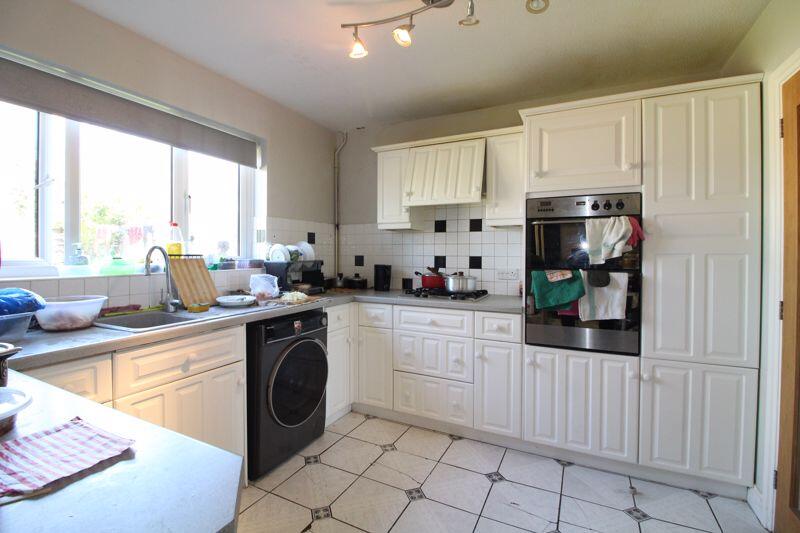
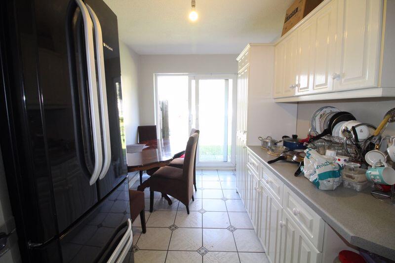
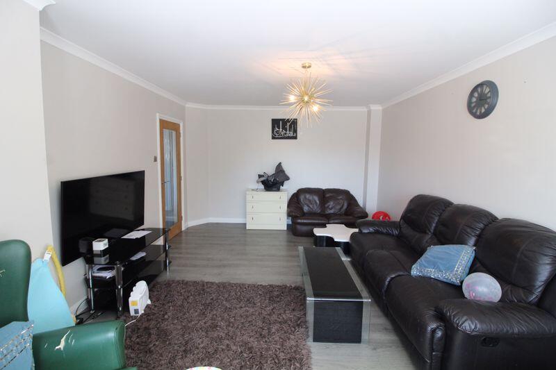
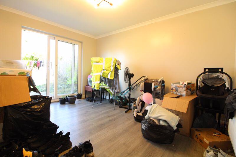
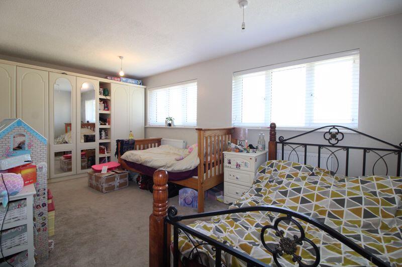
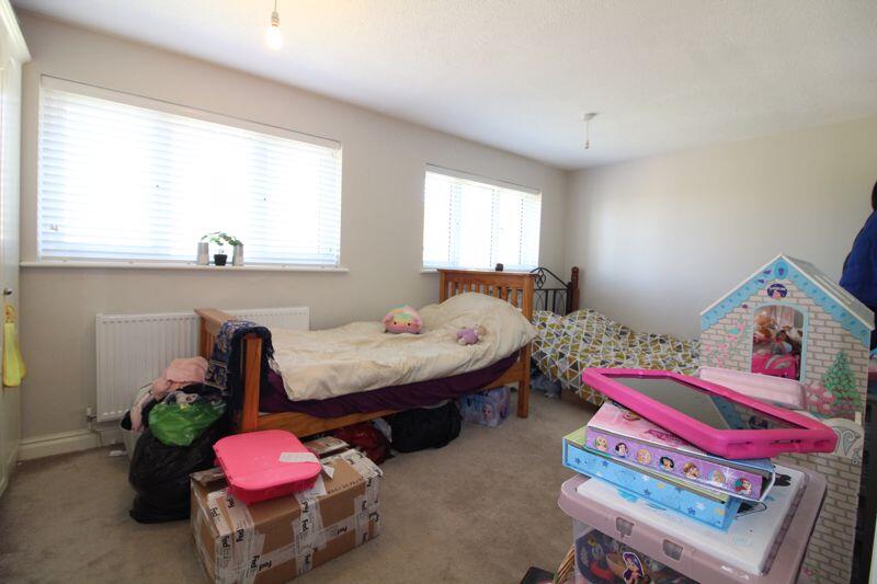
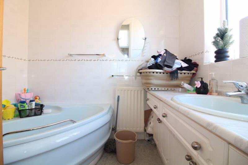
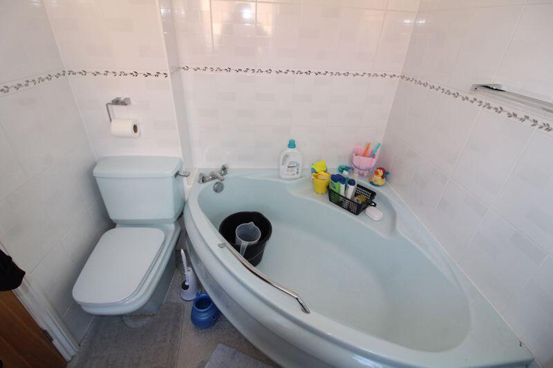
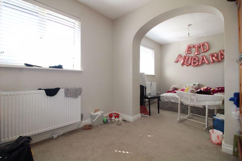
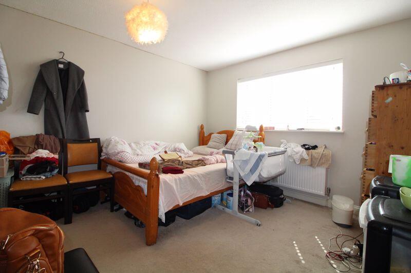
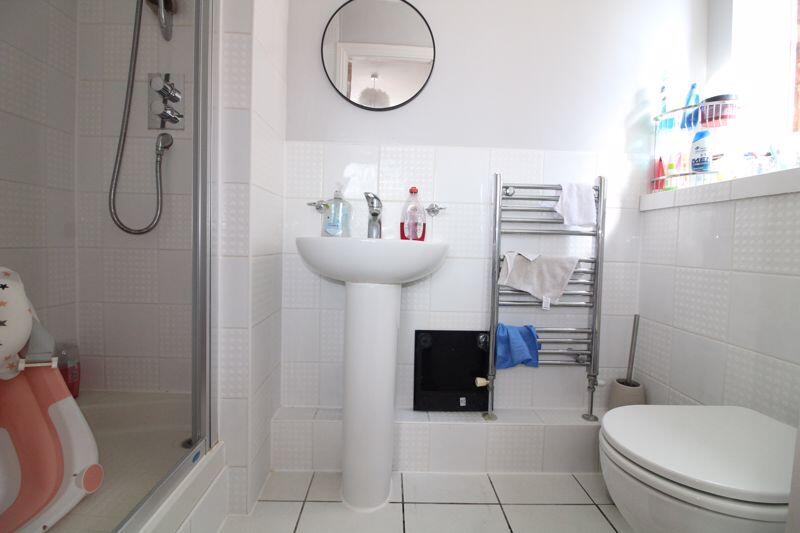
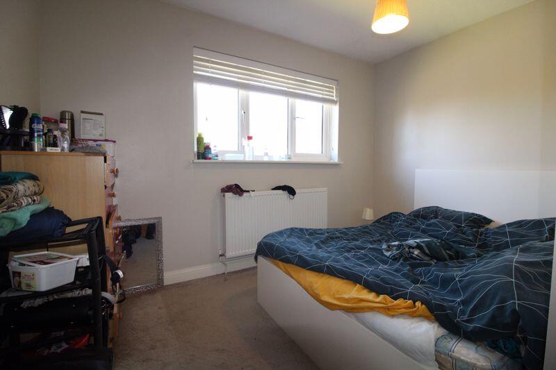
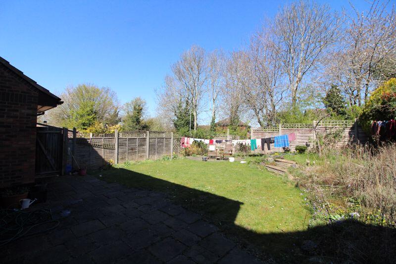
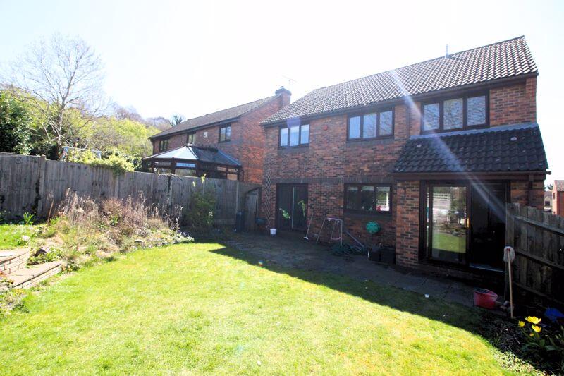
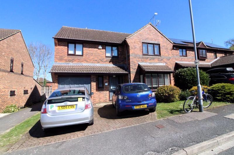
Property details
Tenure
FREEHOLD
Floor area
139 m²
Last sold
£500,000 Sep 2025
Local average
£540,171 (+25%)
Deprivation
Decile 8 (26,123 of 33,755)
Street crime
206 incidents within 1 mile (May 2026)
Key features
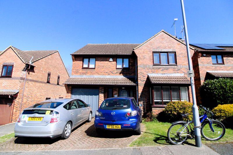
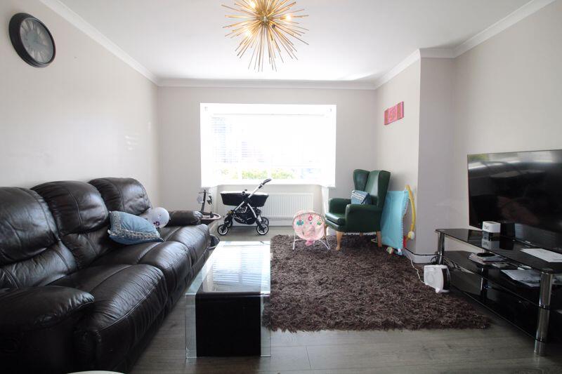
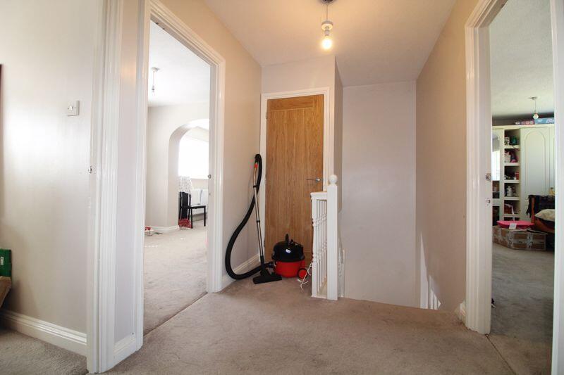
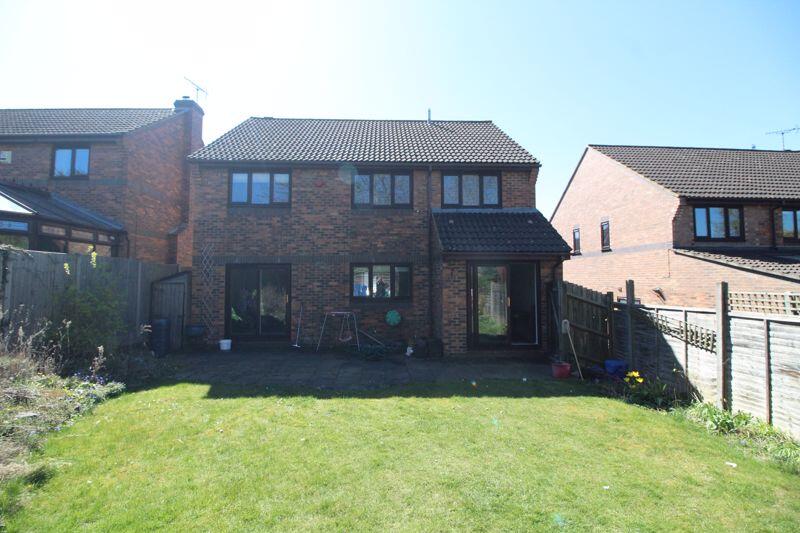
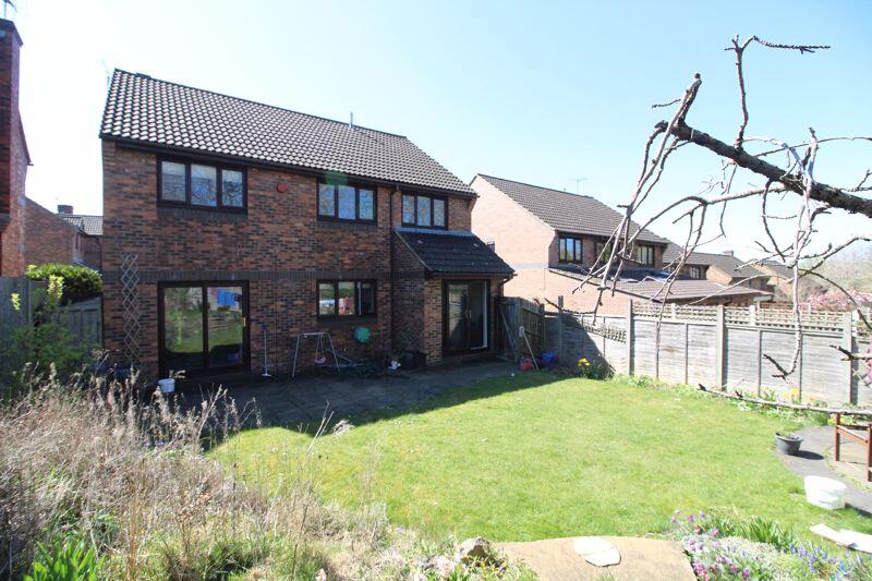
- DETACHED
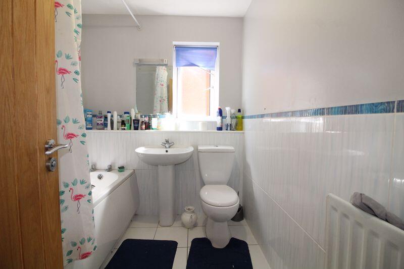
- FOUR BEDROOMS
- DRIVEWAY
- SOUGHT AFTER LOCATION
- SPACE TO EXTEND (STPP)
- EXCELLENT CATCHMENT
- NEAR HIGHLY REGARDED SCHOOLS
- GREAT TRANSPORT LINKS
Additional details
- Parking
- Yes
- Garden
- Yes
Description
Listed by
Luton
Esquire Estates
Reference: 160399901
EPC Rating & Upgrade Cost
Fetching EPC data… Refresh this page in a moment.
Flood risk
Zone: 1
Risk: Low
Job (default Low)
Floorplans
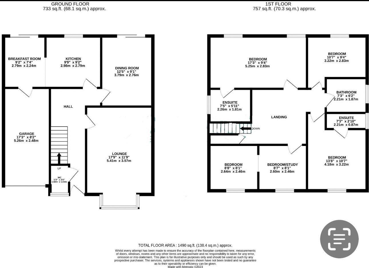
Floorplan 1
FENSA Certificates
This property has 3 FENSA certificate(s) on record, indicating window/door installations by FENSA-approved installers.
FENSA Certificate #9459853
Property Details
Street: 19 Lippitts Hill
Town: LUTON
Postcode: LU2 7YN
Installation Details
Items: 1 window and 3 doors
Certificate Issued: 01/04/2013
Work Completed: 18/03/2013
This certificate data was retrieved from FENSA's database
FENSA Certificate #9040643
Property Details
Street: 19 Lippitts Hill
Town: LUTON
Postcode: LU2 7YN
Installation Details
Items: 8 windows
Certificate Issued: 28/08/2012
Work Completed: 13/08/2012
This certificate data was retrieved from FENSA's database
FENSA Certificate #8762129
Property Details
Street: 19 Lippitts Hill
Town: LUTON
Postcode: LU2 7YN
Installation Details
Items: 6 windows
Certificate Issued: 26/03/2012
Work Completed: 08/03/2012
This certificate data was retrieved from FENSA's database
What is FENSA? FENSA (Fenestration Self-Assessment Scheme) is a government-authorised scheme that monitors building regulation compliance for replacement windows and doors. Certificates indicate that work was completed by FENSA-approved installers.
Price history
2% since 2022
| Event | Date | Price | % change |
|---|---|---|---|
| Sold | 18/09/2025 (10 months ago) | £500,000 | +2% |
| Sold | 11/05/2022 (4 years ago) | £490,000 | — |
Source: HM Land Registry Price Paid Data. Crown copyright.
Sold Comparables
Same street and nearby sales within 0.25 miles (last 5 years). Data from Land Registry Price Paid.
| Address | Price | Date | Type |
|---|---|---|---|
| 31 HONEYGATE, LUTON, LU2 7EP | £604,000 | 28/08/2025 | Detached |
| Same street 4 LIPPITTS HILL, LUTON, LU2 7YN | £440,000 | 29/09/2023 | Detached |
| 21 BENINGTON CLOSE, LUTON, LU2 7YJ | £410,000 | 07/09/2023 | Detached |
| 20 BRADGERS HILL ROAD, LUTON, LU2 7EL | £515,000 | 10/01/2023 | Detached |
| 133 BUSHMEAD ROAD, LUTON, LU2 7YT | £380,000 | 18/11/2022 | Detached |
| 26 BRADGERS HILL ROAD, LUTON, LU2 7EL | £538,000 | 17/11/2022 | Detached |
| 133A BUSHMEAD ROAD, LUTON, LU2 7YT | £370,000 | 08/08/2022 | Detached |
| Same street 17 LIPPITTS HILL, LUTON, LU2 7YN | £525,000 | 08/07/2022 | Detached |
| 13 ROBINSWOOD, LUTON, LU2 7YU | £340,000 | 28/09/2021 | Detached |
Street average: £482,500 (2 sales)
Area average: £451,000 (7 sales)
Capital growth trend
Land Registry outcode average: last 12 months vs 5y and 10y ago (from sold prices).
House Price Index (HM Land Registry — official index, not sold-price averages): Luton. Series: Detached. As of April 2026.
Rental Range
Estimated market rent for Luton. Low = conservative, Realistic = average, Optimistic = best case.
Based on Local Authority from postcode lookup → Luton.
LHA (30th percentile) floor for Luton: £1,346/mo (Apr 2025 – Mar 2026)
Location
Nearby
Nearest stations, universities and amenities (distance from property).
| Type | Name | Distance |
|---|---|---|
| Bus stop | Robinswood | 0.2 miles |
| Bus stop | Unknown | 0.2 miles |
| Shop | Barnardo's | 0.3 miles |
| Shop | Bushmead News | 0.3 miles |
| Train station | Luton | 1.5 miles |
| University | University Of Bedfordshire | 1.8 miles |
| Train station | Leagrave | 2.1 miles |
| Hospital | Spire Hospital | 5.7 miles |
| Hospital | Harpenden Memorial Hospital | 6.4 miles |
Street-level crime
| Category | Count |
|---|---|
| Violence and sexual offences | 69 |
| Anti-social behaviour | 50 |
| Shoplifting | 19 |
| Vehicle crime | 13 |
| Public order | 12 |
| Other crime | 10 |
| Other theft | 10 |
| Criminal damage and arson | 8 |
| Drugs | 8 |
| Theft from the person | 3 |
| Burglary | 2 |
| Possession of weapons | 2 |
| Total incidents | 206 |
Within 1 mile during May 2026. Source: data.police.uk (England & Wales).
Schools nearby
Nearest open schools with Ofsted ratings (England). Closed schools are not shown. Data from Get Information about Schools and Ofsted.
| Name | Type | Distance | Ofsted |
|---|---|---|---|
| Luton Sixth Form College | Other | 0.2 miles | — (No rating) |
| Stopsley High School | Secondary | 0.3 miles | Good — 16 Oct 2022 |
| Bushmead Primary School | Primary | 0.3 miles | Good — 10 Jul 2023 |
| Stopsley Community Primary School | Primary | 0.6 miles | Good — 13 Dec 2012 |
| Sacred Heart Catholic Primary School | Primary | 0.7 miles | Good — 12 Jul 2011 |
Rental Comparables
Rental comparables are temporarily unavailable while listing-site fetches are paused. Try again later.
Rent-driven metrics
Based on Area rent estimate.
- Rent ratio — Monthly rent ÷ purchase price (1% rule). 1%+ = strong, 0.8–1% = okay, <0.8% = weak for cashflow.
- Max investor price — Rent ÷ 0.8%; the price at which rent would be 0.8% of price (Stoke-style target).
- Target investor price — Rent ÷ 1%; the price at which rent would be 1% of price (strong cashflow band).
- Gross yield — Annual rent as % of purchase price (no costs).