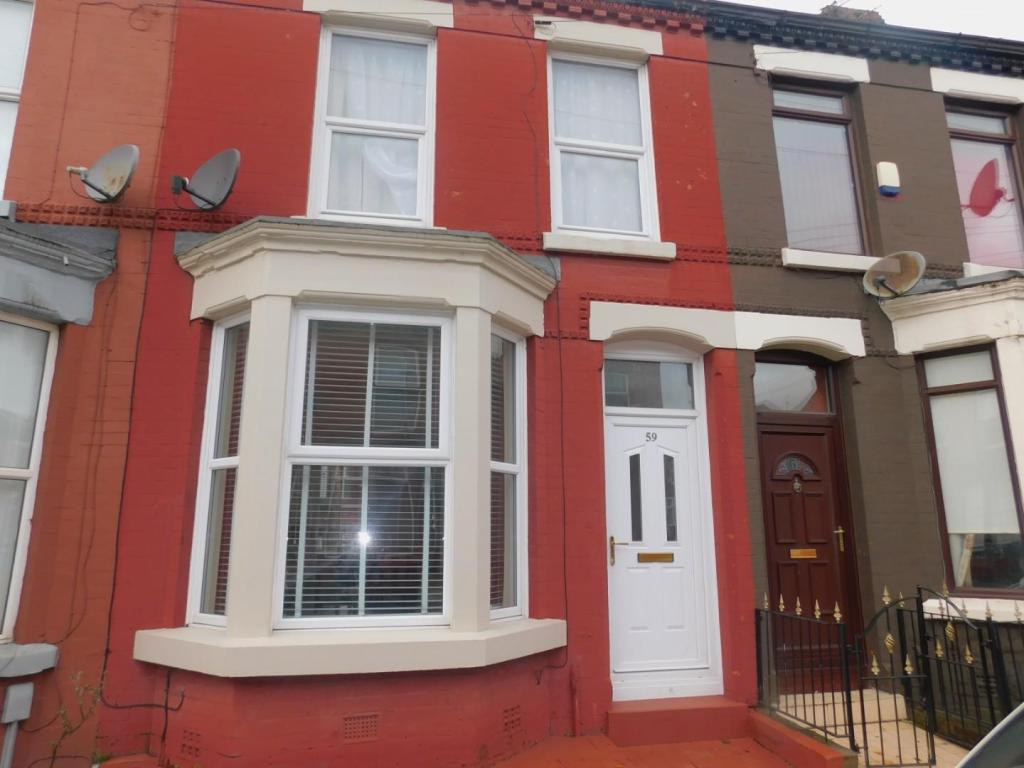
59 TAUNTON STREET
LIVERPOOL, MERSEYSIDE L15 4ND
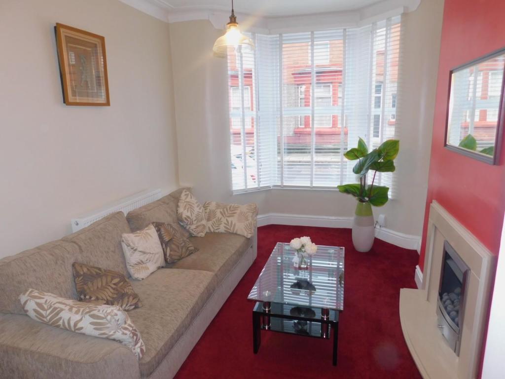
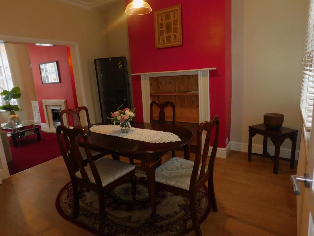
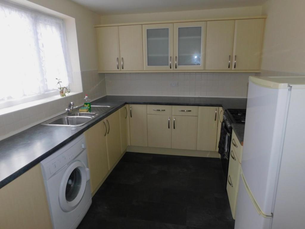
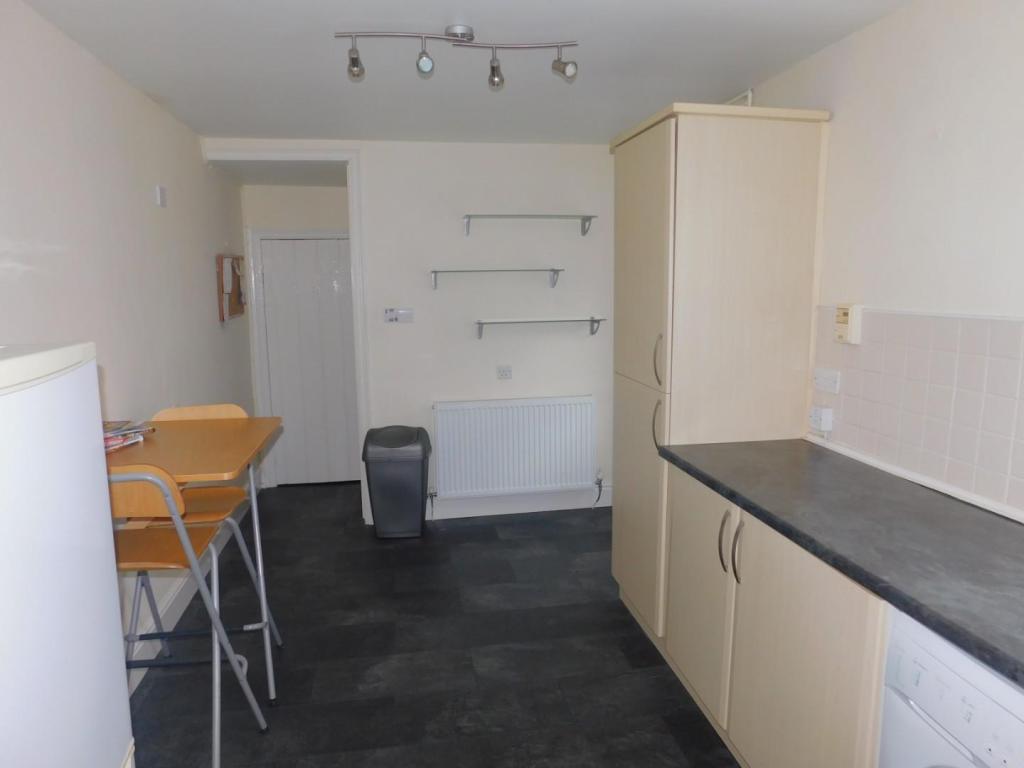
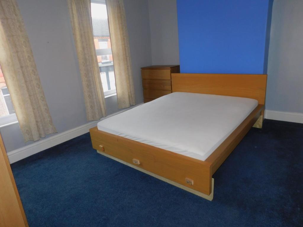
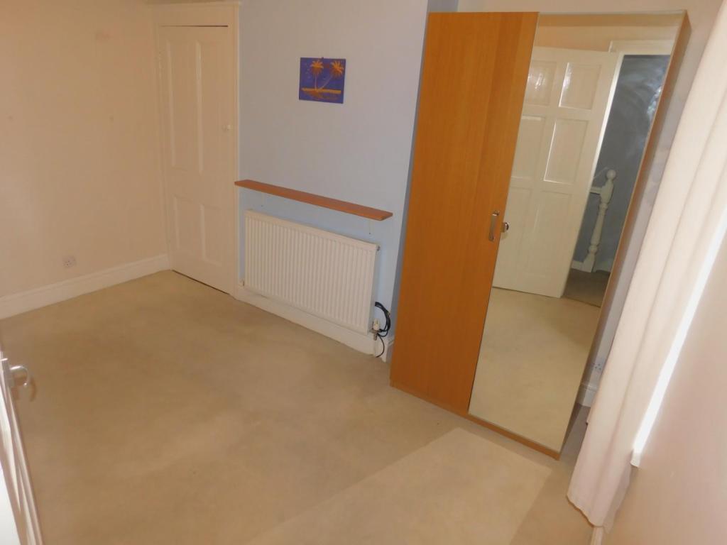
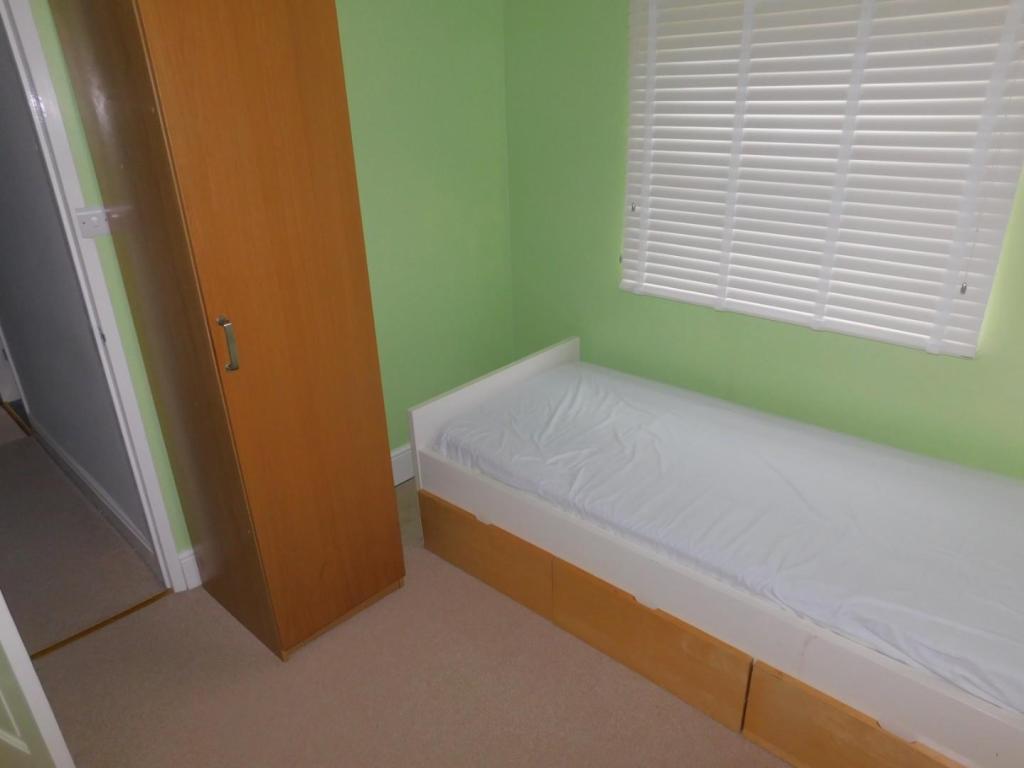
Property details
Floor area
83 m²
Deprivation
Decile 2 (4,475 of 33,755)
Street crime
507 incidents within 1 mile (May 2026)
Key features
- Available NOW!!
- Good size trerrace
- Furnished or unfurnished
- Close to local amenties
- Long term let
Additional details
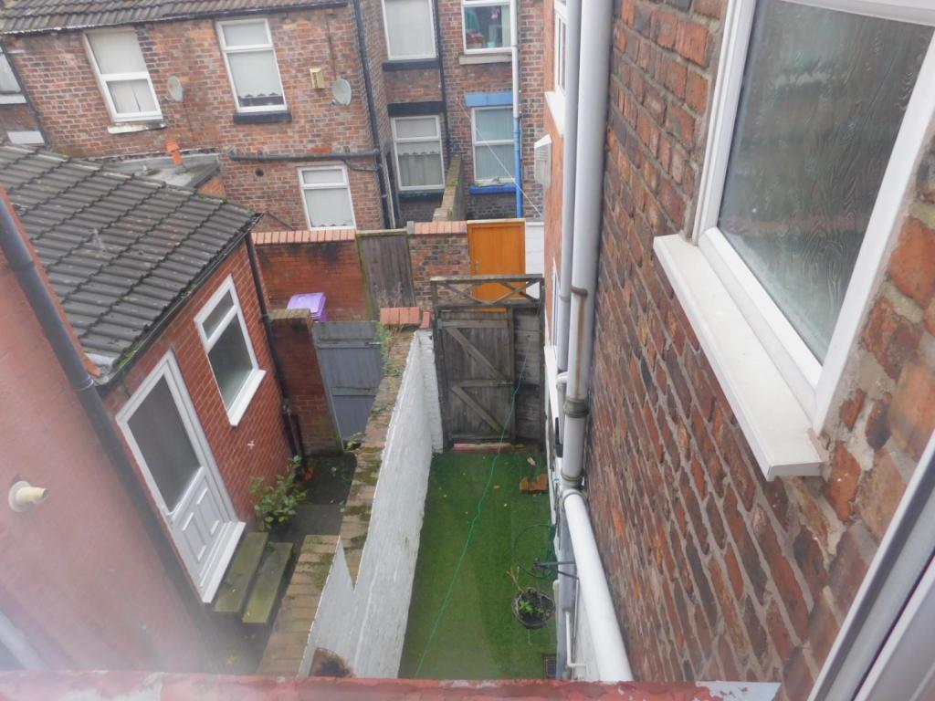
- Garden
- Yes
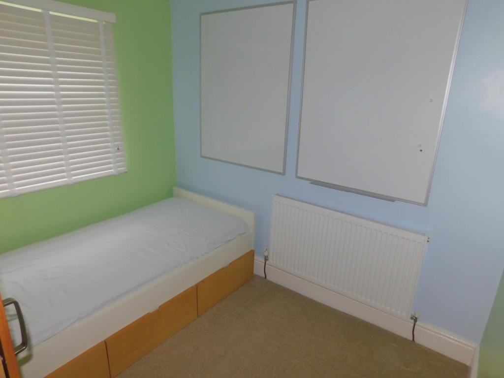
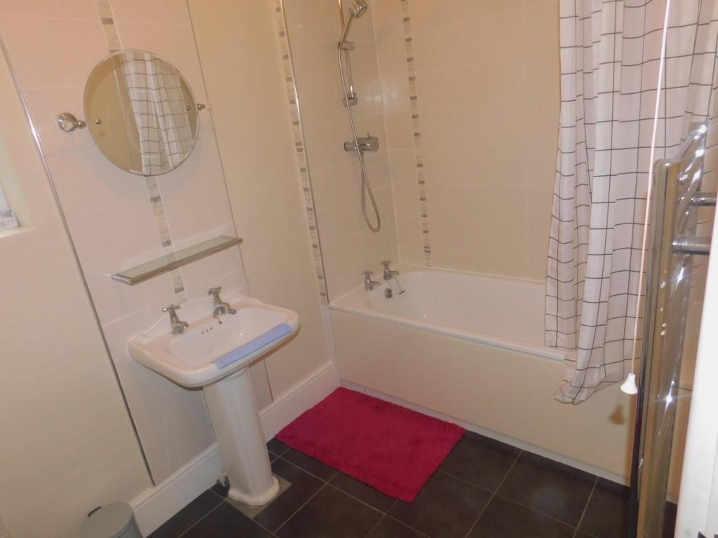
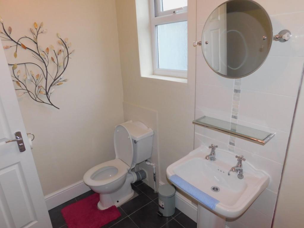
Description
Listed by
Allerton
Abode Group (NW) Ltd
Reference: 66384141
EPC Rating & Upgrade Cost
Fetching EPC data… Refresh this page in a moment.
Flood risk
Zone: 1
Risk: Low
Job (default Low)
FENSA Certificates
This property has 1 FENSA certificate(s) on record, indicating window/door installations by FENSA-approved installers.
FENSA Certificate #7482894
Property Details
Street: 59 Taunton Street
Town: LIVERPOOL
Postcode: L15 4ND
Installation Details
Items: 10 windows and 2 doors
Certificate Issued: 28/06/2010
Work Completed: 09/03/2010
This certificate data was retrieved from FENSA's database
What is FENSA? FENSA (Fenestration Self-Assessment Scheme) is a government-authorised scheme that monitors building regulation compliance for replacement windows and doors. Certificates indicate that work was completed by FENSA-approved installers.
Rental Range
Estimated market rent for Liverpool. Low = conservative, Realistic = average, Optimistic = best case.
Based on Local Authority from postcode lookup → Liverpool.
LHA (30th percentile) floor for Greater Liverpool: £648/mo (Apr 2025 – Mar 2026)
Location
Nearby
Nearest stations, universities and amenities (distance from property).
| Type | Name | Distance |
|---|---|---|
| Shop | The Bridge | 0.1 miles |
| Bus stop | PICTON ROAD/DUNSTAN STREET | 0.1 miles |
| Shop | Robert's Off Licence | 0.1 miles |
| Train station | Wavertree Technology Park | 0.3 miles |
| Hospital | Rathbone Hospital | 0.7 miles |
| Train station | Edge Hill | 0.8 miles |
| Hospital | Greenbank Drive Surgery | 0.9 miles |
| University | University of Liverpool | 1.6 miles |
Street-level crime
| Category | Count |
|---|---|
| Violence and sexual offences | 184 |
| Anti-social behaviour | 46 |
| Public order | 43 |
| Drugs | 42 |
| Shoplifting | 41 |
| Other theft | 39 |
| Criminal damage and arson | 36 |
| Vehicle crime | 26 |
| Robbery | 13 |
| Burglary | 12 |
| Other crime | 10 |
| Theft from the person | 8 |
| Bicycle theft | 7 |
| Total incidents | 507 |
Within 1 mile during May 2026. Source: data.police.uk (England & Wales).
Schools nearby
Nearest open schools with Ofsted ratings (England). Closed schools are not shown. Data from Get Information about Schools and Ofsted.
| Name | Type | Distance | Ofsted |
|---|---|---|---|
| Heygreen Primary School | Primary | 0.0 miles | Good — 4 Nov 2018 |
| Assess Education | Other | 0.3 miles | Inadequate — 7 Sep 2023 |
| Nazene Danielle School of Performing Arts | Other | 0.3 miles | Good — 24 Jan 2023 |
| Lawrence Community Primary School | Primary | 0.4 miles | Good — 21 Sep 2022 |
| Our Lady of Good Help Catholic Primary School | Primary | 0.5 miles | Good — 12 Jun 2024 |
Rental Comparables
Residential lets from OpenRent and Rightmove for the area (same bedroom count). Use to validate rent estimates. Student lets are excluded.
| Title | Rent | Beds | Distance | As seen on |
|---|---|---|---|---|
| 3 Bed Terraced House, Southdale Road, L15 | £925/mo | 3 | 0.21 miles | OpenRent |
| 3 Bed Terraced House, Eastdale Road, L15 | £1,000/mo | 3 | 0.22 miles | OpenRent |
Average rent: £963/mo (2 listings)