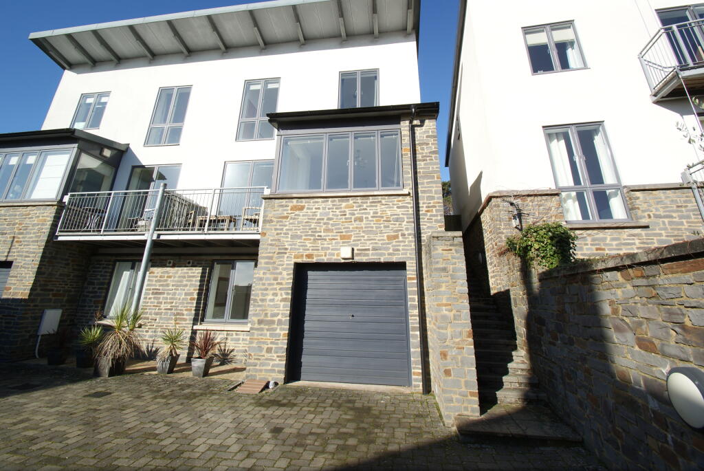
9 WOODBURY LANE
BRISTOL, BRISTOL, CITY OF BRISTOL BS8 2SE
£2,800 pcm
Property details
Floor area
130 m²
Council tax band
TBC
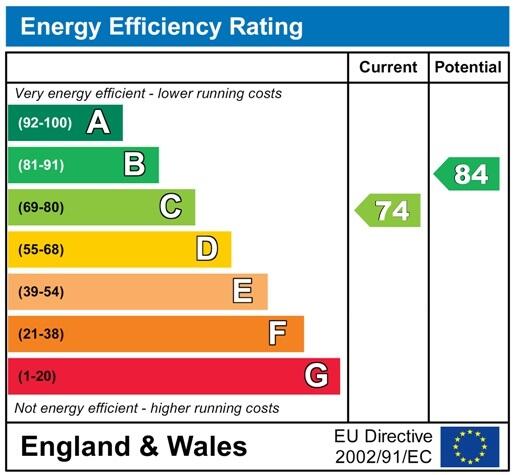
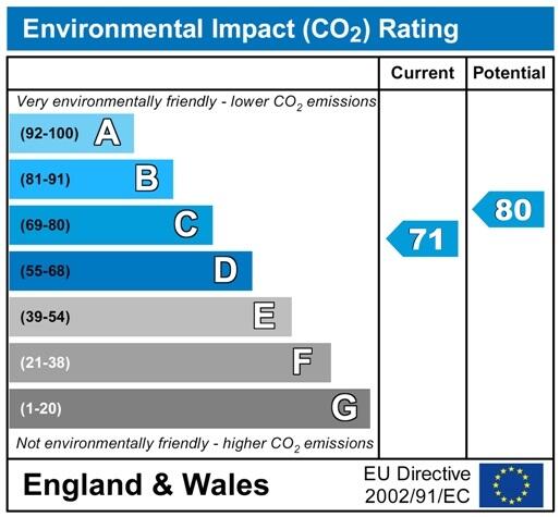
EPC rating
C
Year built
England and Wales: 2003-2006
Deprivation
Decile 9 (29,886 of 33,755)
Street crime
372 incidents within 1 mile (Apr 2026)
Key features
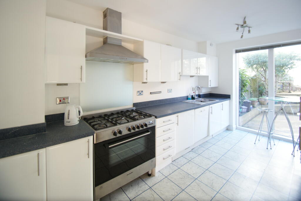
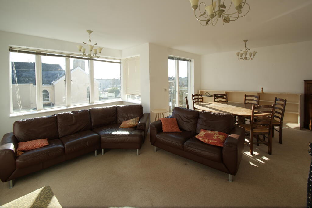
- Family Home
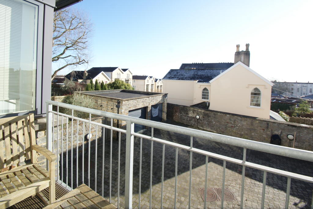
- Driveway Parking Available
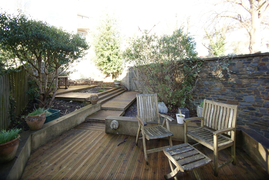
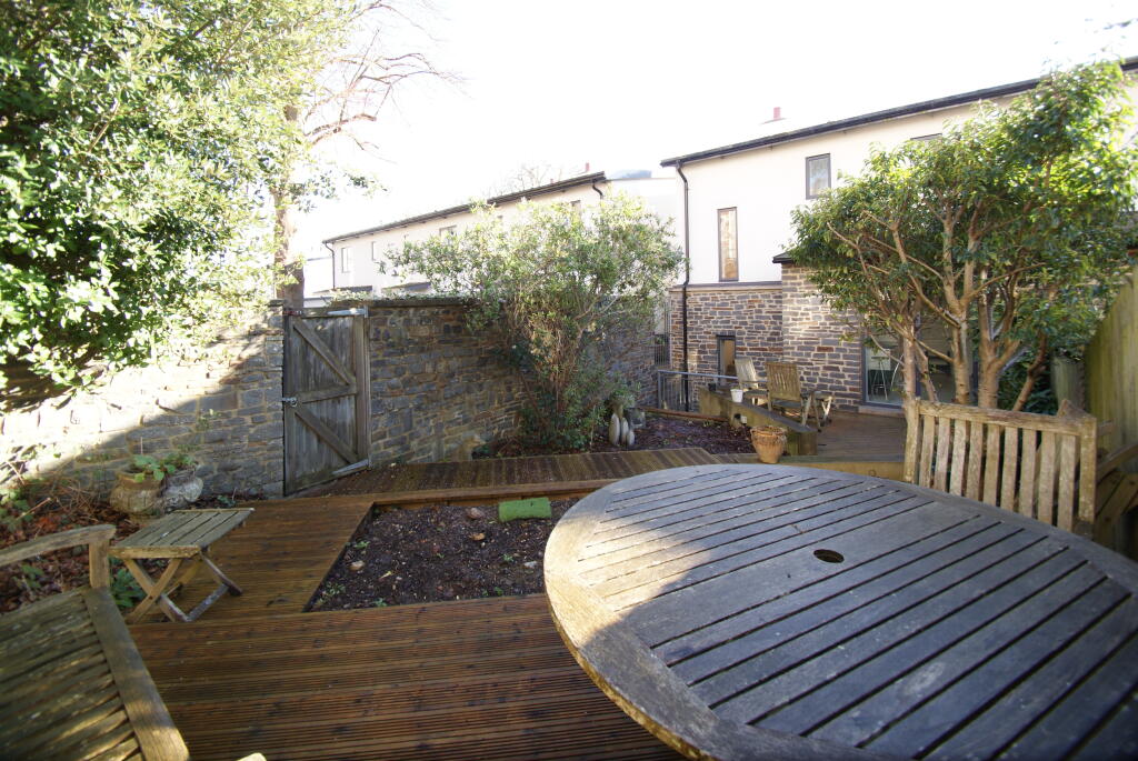
- Lovely Rear Garden
- Very Spacious
- Quiet cul-de-sac just off Whiteladies Road
Additional details
- Parking
- Yes
- Garden
- Yes
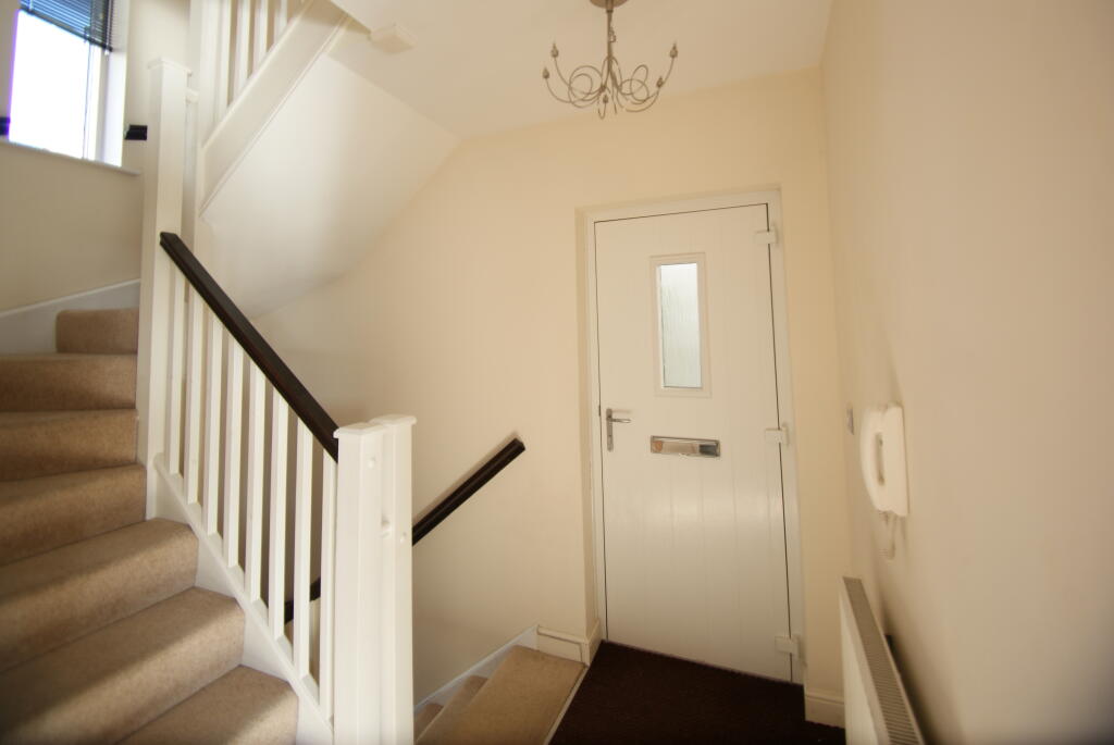
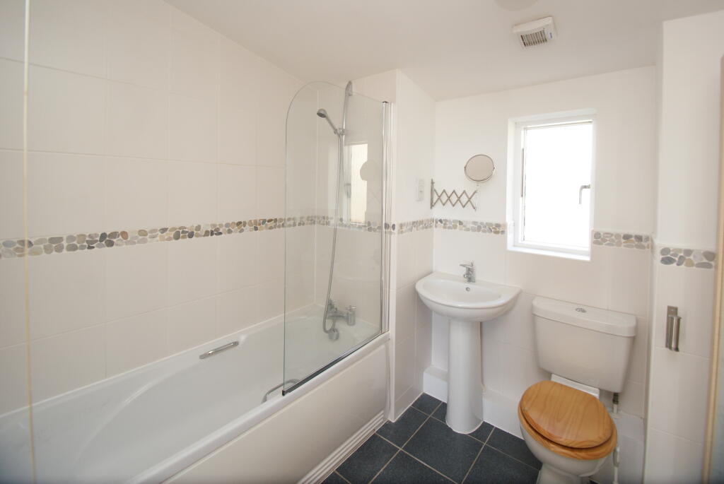
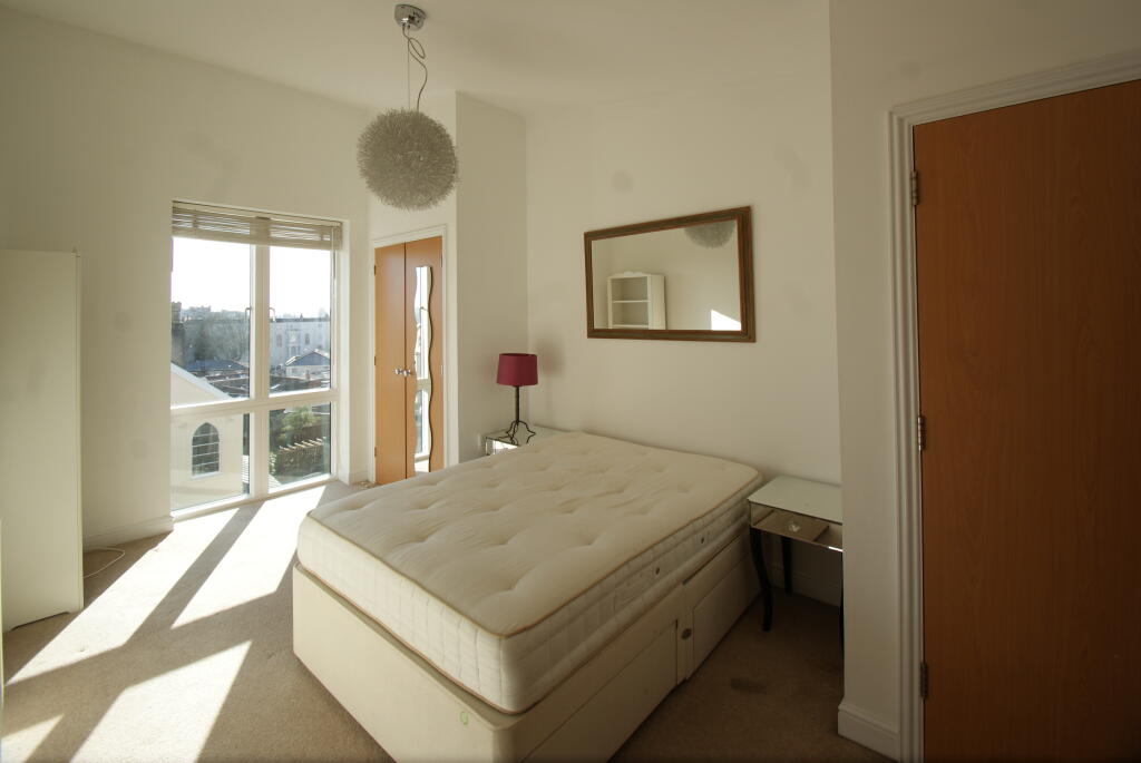
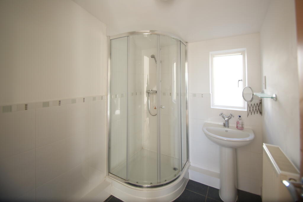
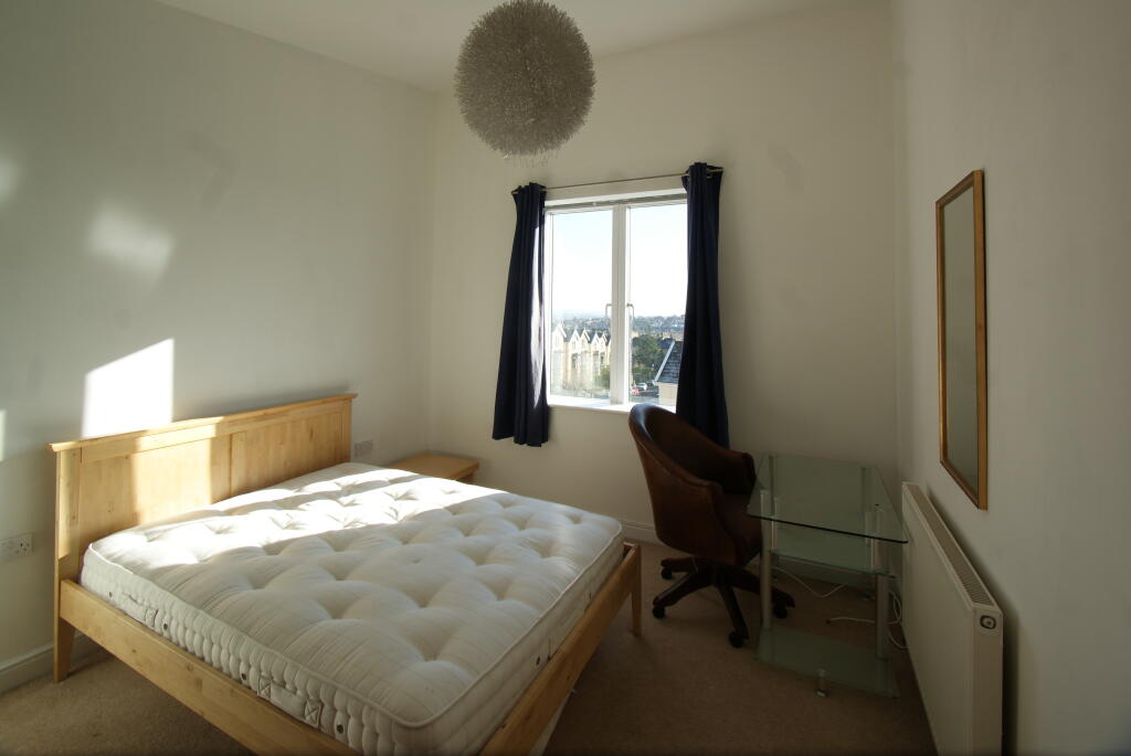
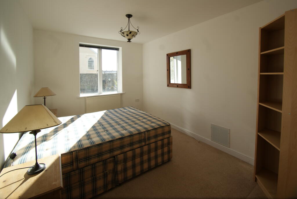
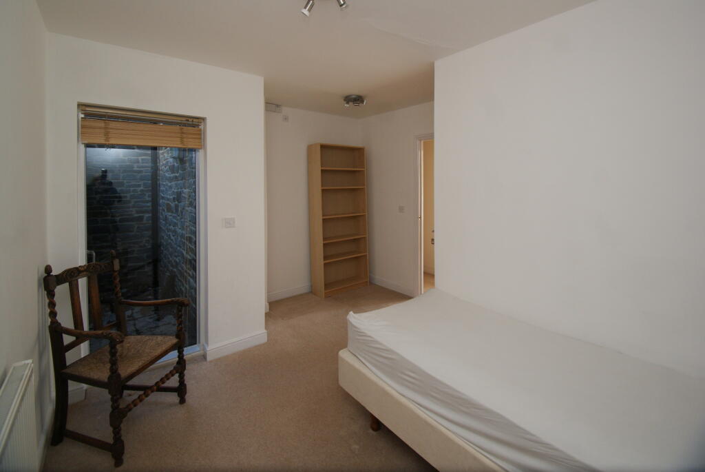
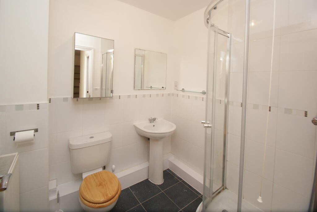
Description
Listed by
Bristol
Abode Property Management
Reference: 155407268
EPC Rating & Upgrade Cost
Current rating: C
Potential rating: B
Inspection date: 26/03/2026
Expiry date: 25/03/2036
Est. upgrade cost to C: £9,235
Recommendations
- Upgrade heating controls (£220 - £250)
- Solar photovoltaic panels, 2.5 kWp (£8,000 - £10,000)
Flood risk
Zone: 1
Risk: Low
Job (default Low)
Rental Range
Estimated market rent for Bristol, City of. Low = conservative, Realistic = average, Optimistic = best case.
Based on Local Authority from postcode lookup → Bristol, City of.
LHA (30th percentile) floor for Bristol: £1,845/mo (Apr 2025 – Mar 2026)
Location
Nearby
Nearest stations, universities and amenities (distance from property).
| Type | Name | Distance |
|---|---|---|
| Bus stop | Black Boy Hill | 0.1 miles |
| Bus stop | Black Boy Hill (C) | 0.1 miles |
| Train station | Clifton Down | 0.4 miles |
| Shop | Velvet Umbrella | 0.4 miles |
| Shop | Snappy Snaps | 0.4 miles |
| Train station | Redland | 0.6 miles |
| University | 5 Priory Road, Life Sciences | 0.8 miles |
| Hospital | South West Regional Laboratories | 0.9 miles |
| Hospital | The Chesterfield | 1.1 miles |
| University | dBs Institute Bristol Campus | 1.7 miles |
Street-level crime
| Category | Count |
|---|---|
| Violence and sexual offences | 102 |
| Shoplifting | 59 |
| Vehicle crime | 58 |
| Anti-social behaviour | 44 |
| Burglary | 24 |
| Criminal damage and arson | 24 |
| Other theft | 24 |
| Public order | 15 |
| Bicycle theft | 9 |
| Robbery | 7 |
| Other crime | 3 |
| Drugs | 1 |
| Possession of weapons | 1 |
| Theft from the person | 1 |
| Total incidents | 372 |
Within 1 mile during Apr 2026. Source: data.police.uk (England & Wales).
Schools nearby
Nearest open schools with Ofsted ratings (England). Closed schools are not shown. Data from Get Information about Schools and Ofsted.
| Name | Type | Distance | Ofsted |
|---|---|---|---|
| St Johns Church of England Primary School, Clifton | Primary | 0.1 miles | Outstanding — 20 Apr 2015 |
| Bristol Waldorf School | Other | 0.2 miles | Requires improvement — 15 Aug 2023 |
| Redland Green School | Secondary | 0.5 miles | Good — 23 Jan 2024 |
| Westbury Park School | Primary | 0.5 miles | — (Inspected (no overall grade)) |
| Ss Peter and Paul RC Primary School | Primary | 0.6 miles | Good — 2 May 2023 |
Rental Comparables
Rental listings exist nearby, but none matched the 4-bedroom count for this property.