Jonathans
STROUD, SELSLEY WEST, GLOUCESTERSHIRE GL5 5LJ
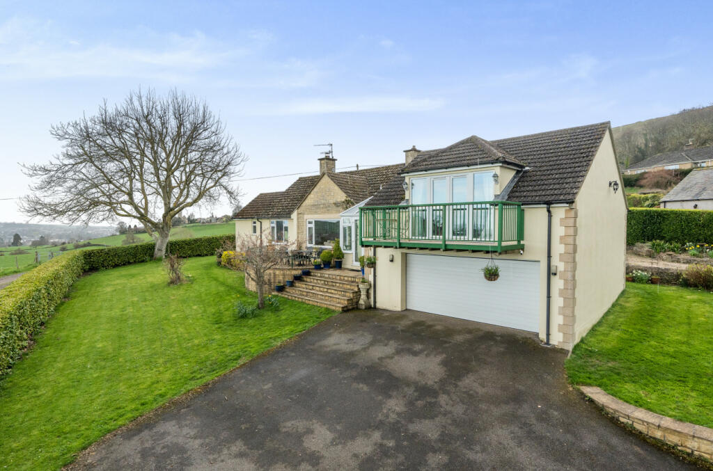
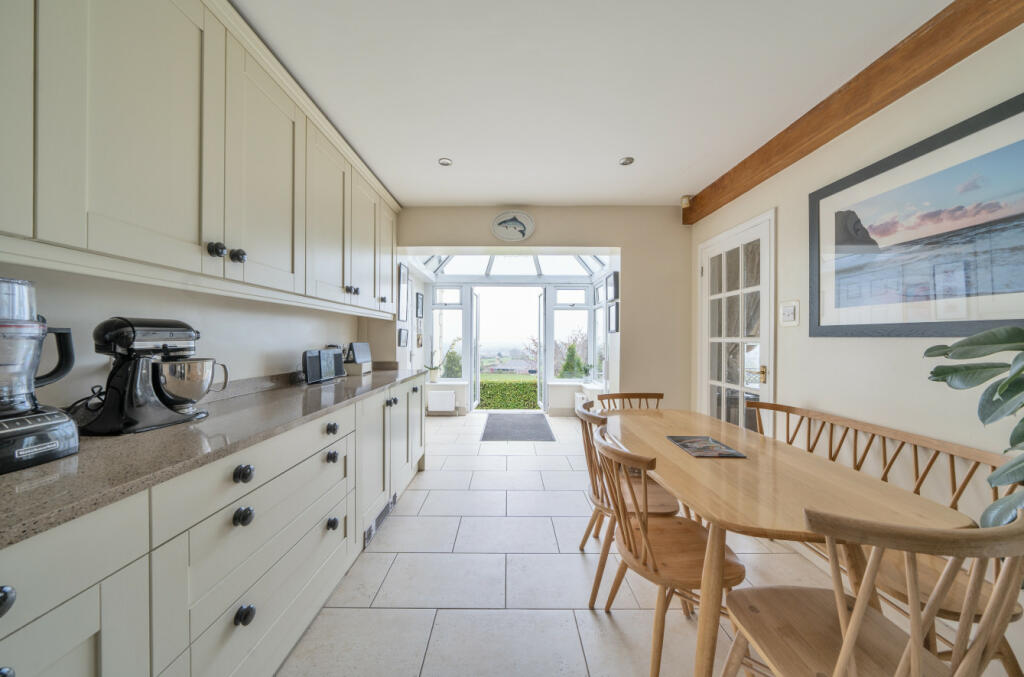
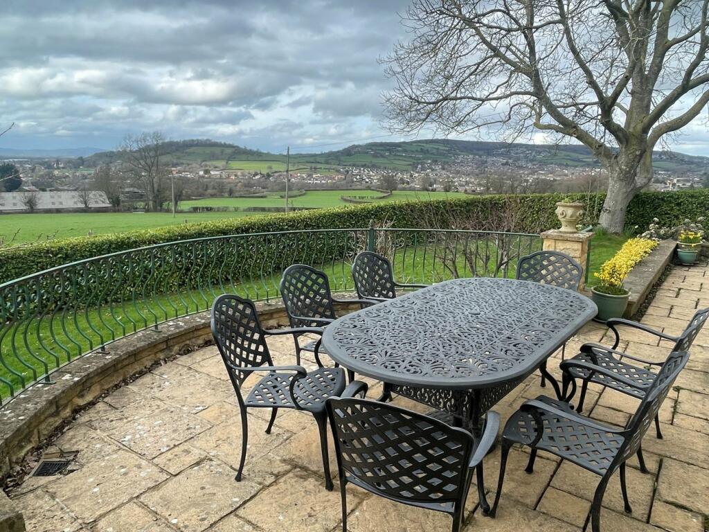
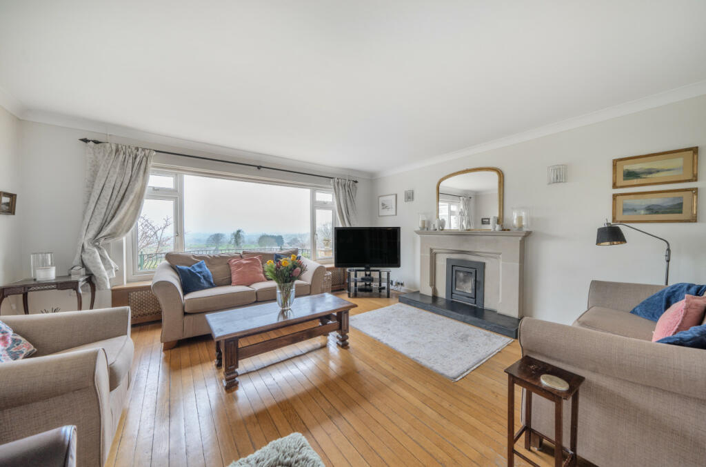
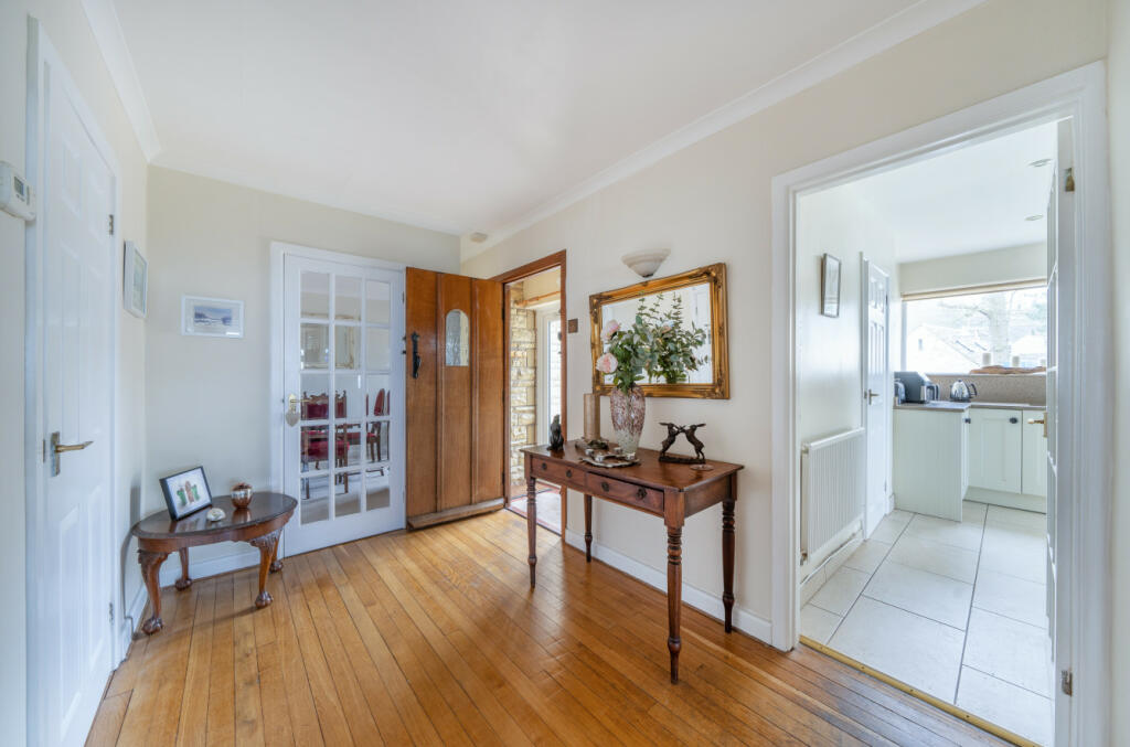
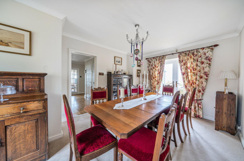
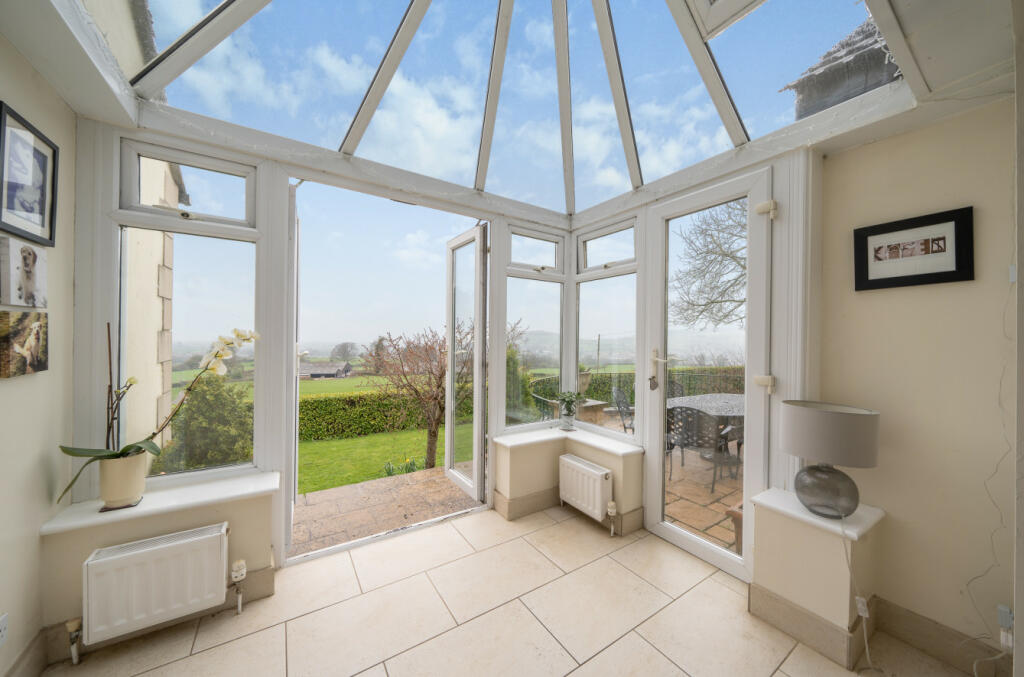
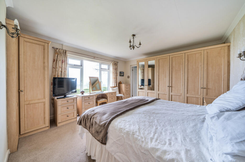
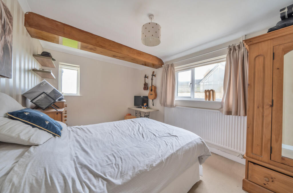
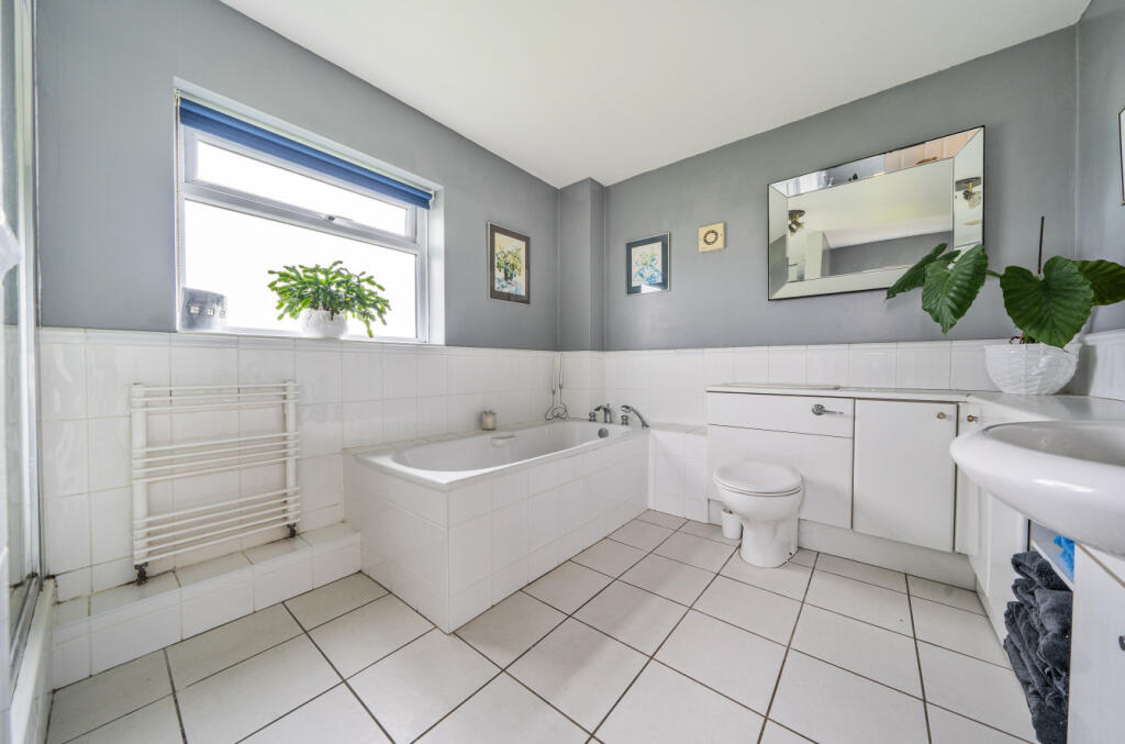

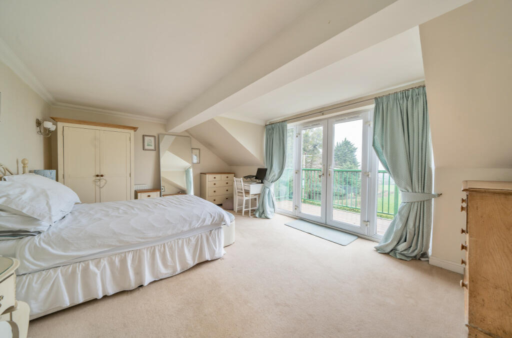
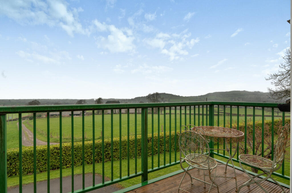
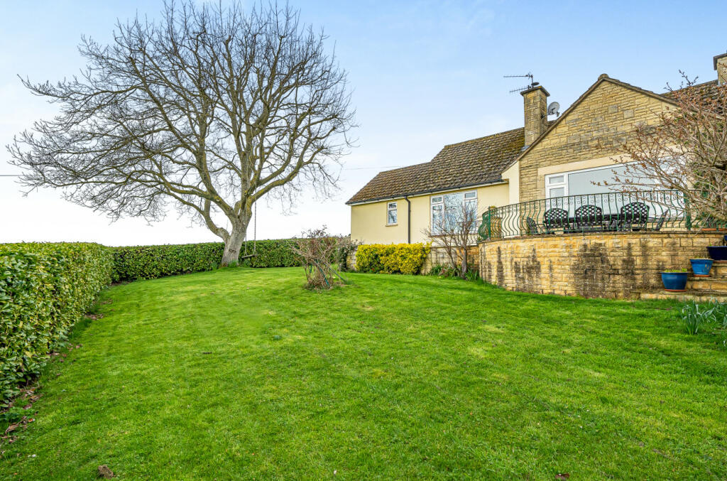
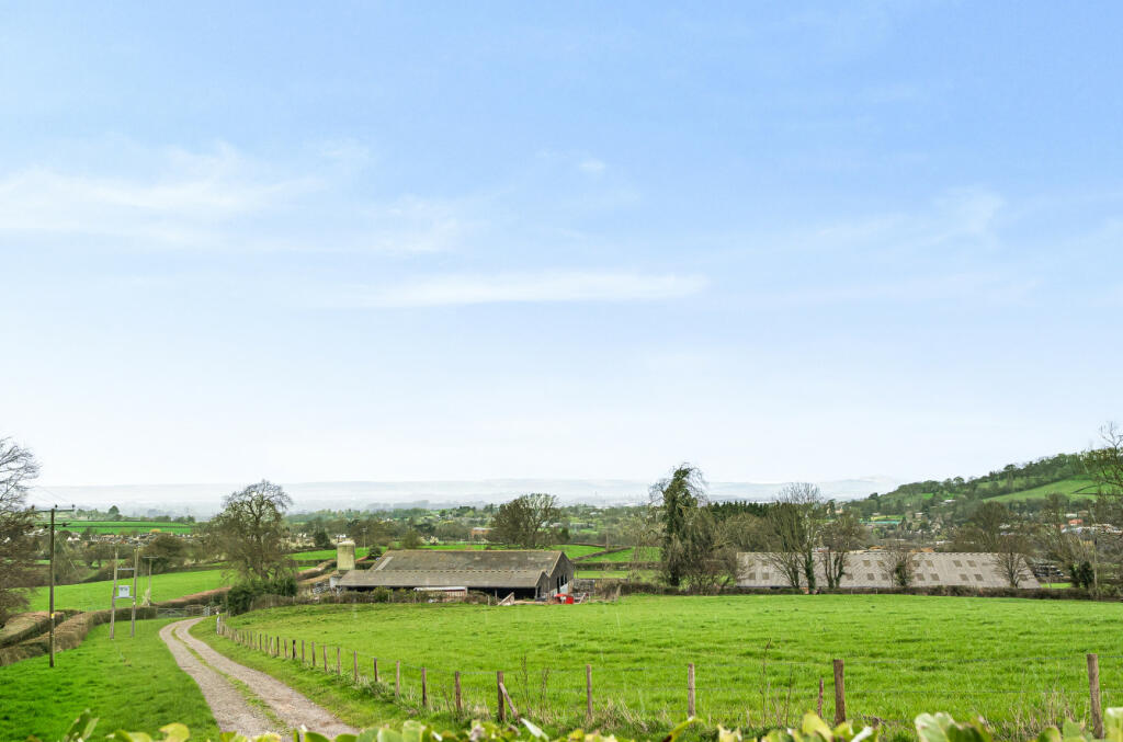
Photo 1 Photo 2 Photo 3 Photo 4 Photo 5 Photo 6 Photo 7 Photo 8 Photo 9 Photo 10 Photo 11 Photo 12 Photo 13 Photo 14 Photo 15
/ 15
Property details
Tenure
FREEHOLD
Floor area
180 m²
Council tax band
E
Last sold
£776,000 Sep 2023
Local average
£660,621 (+15.8%)
Deprivation
Decile 8 (26,919 of 33,755)
Street crime
0 incidents within 1 mile (May 2026)
Key features
- AN INDIVIDUAL EXTENDED DETACHED HOUSE
- SUPERB LOCATION AT SELSLEY WEST
- BORDERS OPEN FARMLAND
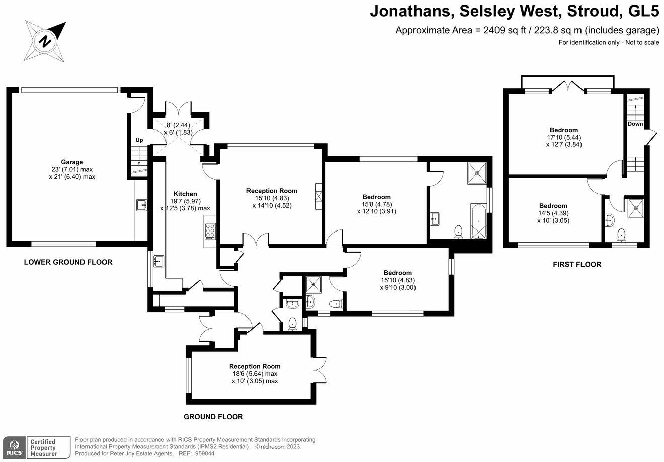
- FOUR BEDROOMS
- 19' KITCHEN/BREAKFAST ROOM
- TWO RECEPTION ROOMS
- THREE BATH/SHOWER ROOMS
- A DOUBLE GARAGE AND LOTS OF PARKING
- GARDENS AND A FIRST CLASS OUTLOOK
Additional details
- Parking
- Yes
- Garden
- Yes
Description
The spacious accommodation is complemented by parking, gardens and the integral double garage. There are two areas of gated parking, on either side of the property. The front driveway has space to park several vehicles. The lower drive is wider, with parking for several vehicles and access to the garage. There is an area of lawn to the side of the house, with planted beds and a summerhouse, with the majority of the garden at the rear of the house. There is a level lawn here, and this is enclosed with hedging. Five wide steps lead up to the rear property entrance, with a lovely paved sitting area in front of the sitting room – the perfect spot for a table and chairs and to sit and enjoy the view and sun set. There is a further area of garden at the north east side of the house, with doors out from the dining room, and a shed.
Selsley West is a popular residential area between King’s Stanley and Selsley. There is a good pub in Selsley, with Sainsburys just down the road, and the villages of King's Stanley and neighbouring Leonard Stanley benefit from shops, a Co-op and two good schools, with straight forward access to the motorway also close by. Stonehouse is approximately a mile distant and offers a good range of shops and amenities within its level High Street with primary and secondary schools also within the vicinity. Stonehouse railway station offers a direct line to London (Paddington). Junction 13 of the M5 motorway is approximately two miles distant with a wider range of shops available in the towns of Stroud, Gloucester and Cheltenham.
Listed by
Nailsworth
Peter Joy Estate Agents
Reference: 135296441
EPC ratings on this postcode
We don't have a matched EPC for this property yet. Below are efficiency scores and details for other addresses on this postcode.
| Address | Current | Potential | Floor area | Age band | Type |
|---|---|---|---|---|---|
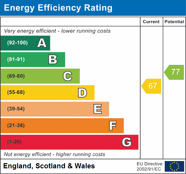
| Jonathans, Selsley West, STROUD | 67 | 77 | 180 m² | — | Detached |
Flood risk
Zone: 1
Risk: Low
Job (default Low)
Floorplans
Floorplan 1
EPC Graphs
EPC 1
Price history
417% since 1997
| Event | Date | Price | % change |
|---|---|---|---|
| Sold | 05/09/2023 (2 years ago) | £776,000 | +417.3% |
| Sold | 30/07/1997 (28 years ago) | £150,000 | — |
Source: HM Land Registry Price Paid Data. Crown copyright.
Sold Comparables
Same street and nearby sales within 0.25 miles (last 5 years). Data from Land Registry Price Paid.
| Address | Price | Date | Type |
|---|---|---|---|
| STREAM COTTAGE, MIDDLEYARD, STONEHOUSE, STROUD, GLOUCESTERSHIRE, GL10 3QQ | £415,000 | 16/11/2021 | Detached |
Area average: £415,000 (1 sale)
Capital growth trend
Land Registry outcode average: last 12 months vs 5y and 10y ago (from sold prices).
House Price Index (HM Land Registry — official index, not sold-price averages): Stroud. Series: Detached. As of April 2026.
Rental Range
Estimated market rent for Stroud. Low = conservative, Realistic = average, Optimistic = best case.
Based on Local Authority from postcode lookup → Stroud.
LHA (30th percentile) floor for Gloucester: £1,197/mo (Apr 2025 – Mar 2026)
Location
Address
Broad Street
Nearby
Nearest stations, universities and amenities (distance from property).
| Type | Name | Distance |
|---|---|---|
| Bus stop | The Knapp | 0.0 miles |
| Shop | Images | 0.7 miles |
| Shop | Coco | 1.0 miles |
| Train station | Stonehouse | 1.6 miles |
| Train station | Stroud | 2.0 miles |
| Hospital | Stroud Maternity Hospital | 2.3 miles |
| Hospital | Stroud General Hospital | 2.4 miles |
| University | University of Gloucestershire City Campus | 9.6 miles |
| University | University of Gloucestershire - Oxtalls Campus | 10.2 miles |
Street-level crime
| Category | Count |
|---|---|
| Total incidents | 0 |
Within 1 mile during May 2026. Source: data.police.uk (England & Wales).
Schools nearby
Nearest open schools with Ofsted ratings (England). Closed schools are not shown. Data from Get Information about Schools and Ofsted.
| Name | Type | Distance | Ofsted |
|---|---|---|---|
| King's Stanley CofE Primary School | Primary | 0.7 miles | Good — 10 Sep 2024 |
| Leonard Stanley Church of England Primary School | Primary | 1.0 miles | — (Inspected (no overall grade)) |
| Woodchester Endowed Church of England Aided Primary School | Primary | 1.1 miles | Outstanding — 2 May 2017 |
| St Matthew's Church of England Primary School | Primary | 1.3 miles | Good — 12 Nov 2023 |
| Foxmoor Primary School | Primary | 1.3 miles | Good — 12 May 2020 |
Rental Comparables
Rental comparables are temporarily unavailable while listing-site fetches are paused. Try again later.
Rent-driven metrics
Based on Area rent estimate.
- Rent ratio — Monthly rent ÷ purchase price (1% rule). 1%+ = strong, 0.8–1% = okay, <0.8% = weak for cashflow.
- Max investor price — Rent ÷ 0.8%; the price at which rent would be 0.8% of price (Stoke-style target).
- Target investor price — Rent ÷ 1%; the price at which rent would be 1% of price (strong cashflow band).
- Gross yield — Annual rent as % of purchase price (no costs).
Enter House Number
Enter the house number to help us retrieve more accurate pricing history and property data.
Please log in to submit or correct the house number for this listing.
Log in to continue