Stone Road
Bridge Court Stone Road, ST4, ST4 6SJ
£585 pcm
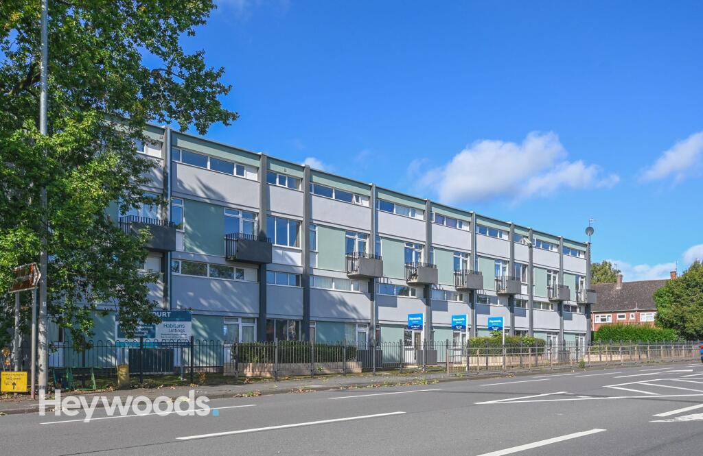
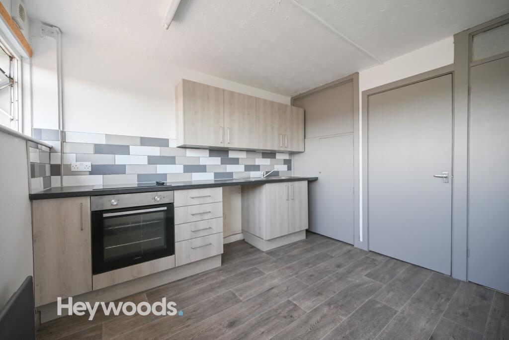
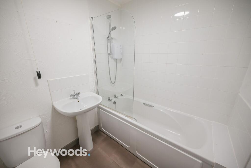
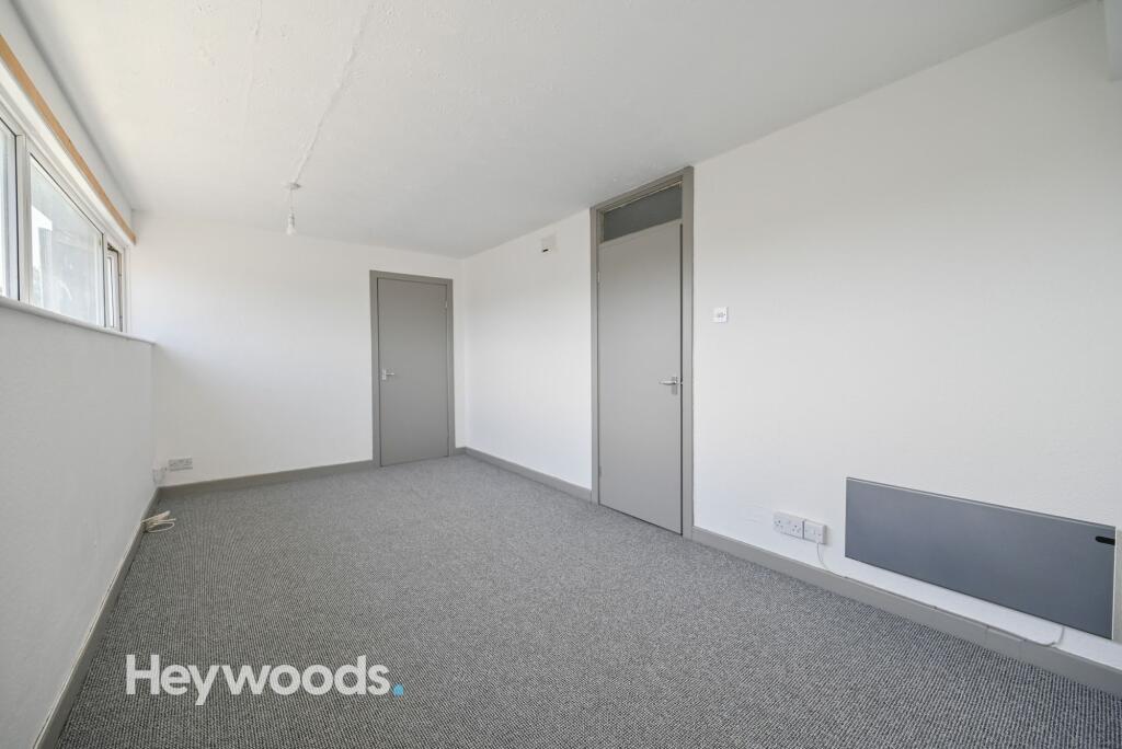
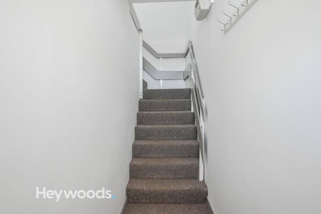
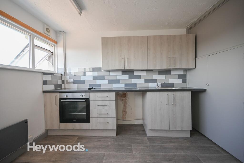
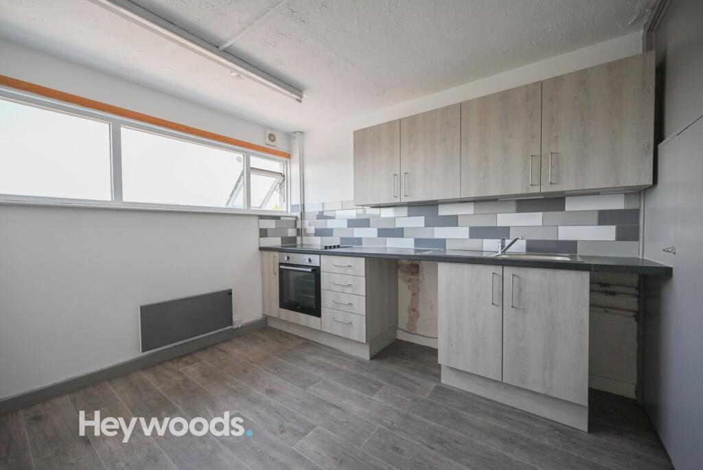
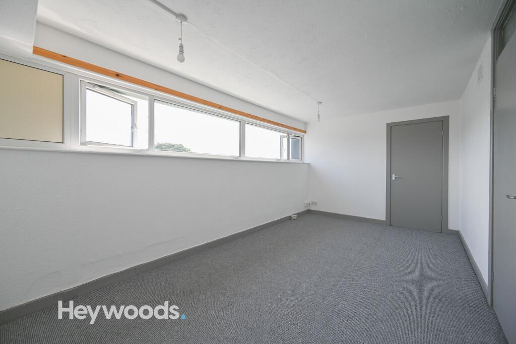
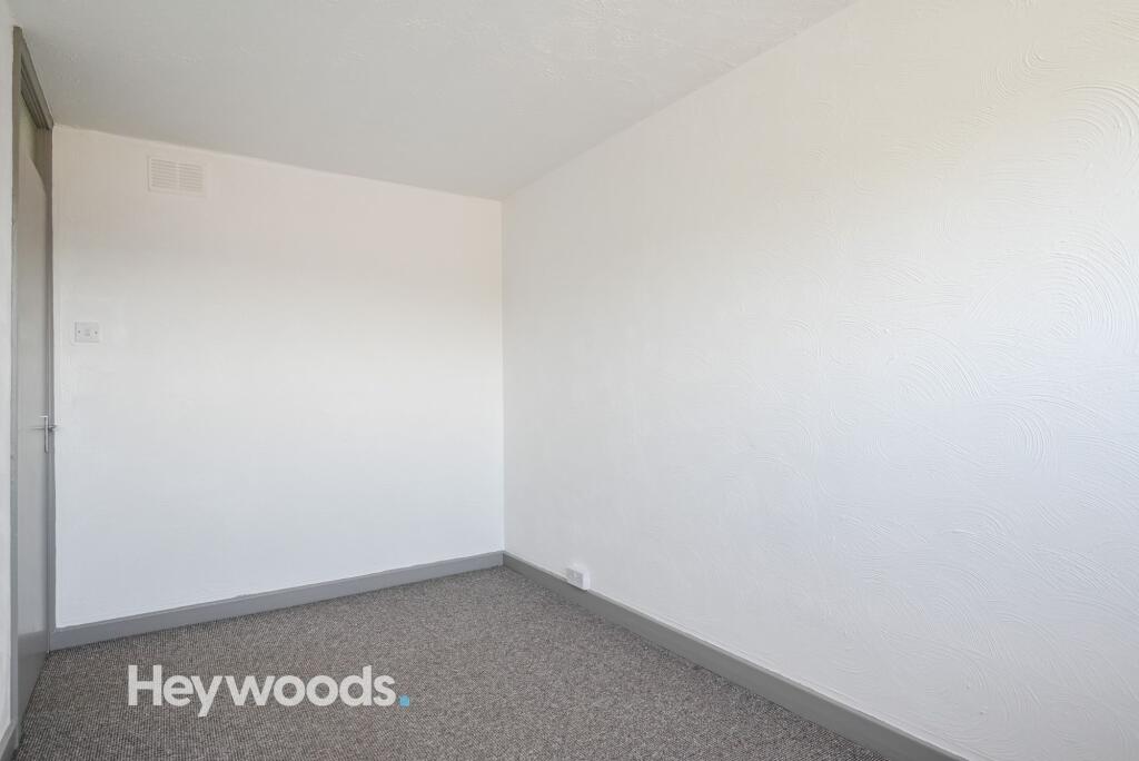
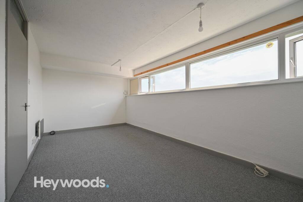
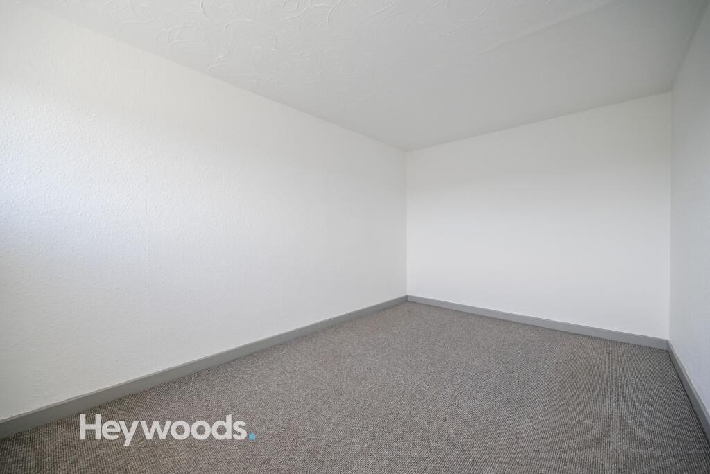
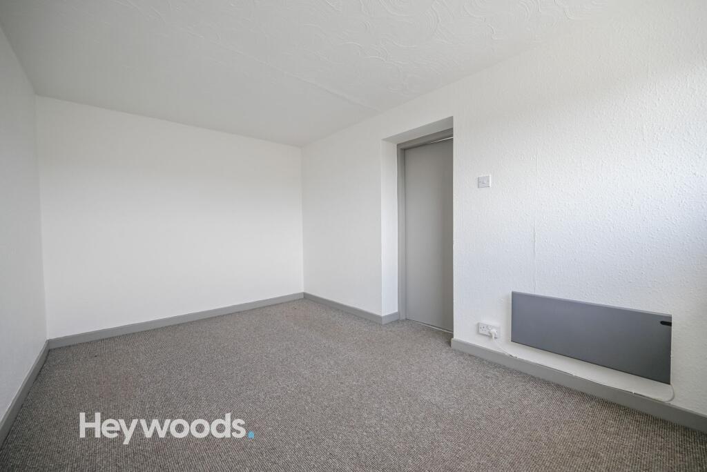
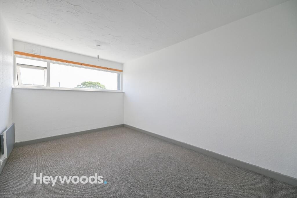
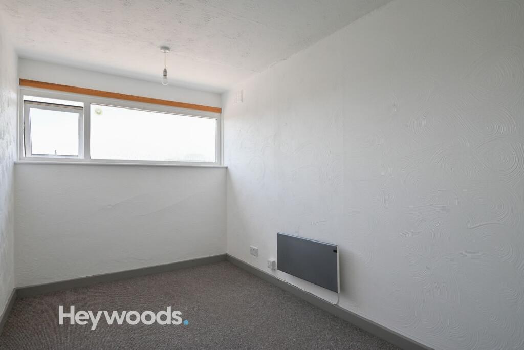
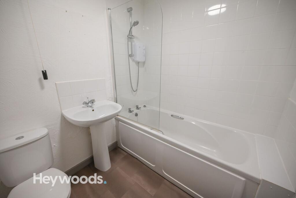
Photo 1 Photo 2 Photo 3 Photo 4 Photo 5 Photo 6 Photo 7 Photo 8 Photo 9 Photo 10 Photo 11 Photo 12 Photo 13 Photo 14 Photo 15
/ 15
Property details
Council tax band
A
Deprivation
Decile 5 (13,956 of 33,755)
Street crime
159 incidents within 1 mile (Aug 2026)
Key features
- Two Bedroom Apartment
- Unfurnished
- Council Tax Band A
- Walking Distance to Royal Stoke
- Private Entrance
- Communal Parking Area
Additional details
- Parking
- Yes
- Listed property
- No
- Restrictions
- No
- Required access
- No
- Rights of way
- No
- Flooded in last 5 years
- No
- Flood defences
- No
Description
Inside, the flat has stairs leading up to the flat on the first floor. The flat boasts the first spacious bedroom to the left, which would be great for a bedroom or study area. The second room offers an open plan kitchen with a fitted kitchen including integrated oven and hob and a convenient storage cupboard. The bathroom offers a white 3-piece suit, with a shower over the bath.
The next room offers a generously sized large reception room leading into another room which is the second bedroom.
Outside, the complex offers ample communal parking.
The flat is offered on an unfurnished basis and benefits from electric heating.
To book your viewing head over to the Heywoods website and submit your avaialbility via the property.
EPC Rating: D
Listed by
Newcastle-under-Lyme
Heywoods
Reference: 94084425
EPC ratings on this postcode
We don't have a matched EPC for this property yet. Below are efficiency scores and details for other addresses on this postcode.
| Address | Current | Potential | Floor area | Age band | Type |
|---|---|---|---|---|---|
| Flat 1 Bridge Court, Stone Road, STOKE-ON-TRENT | 43 | 77 | 84 m² | England and Wales: 1967-1975 | Flat |
| Flat 1 Bridge Court, Stone Road, STOKE-ON-TRENT | 39 | 77 | 84 m² | England and Wales: 1967-1975 | Flat |
| Flat 10 Bridge Court, Stone Road, STOKE-ON-TRENT | 59 | 85 | 32 m² | England and Wales: 1967-1975 | Flat |
| Flat 10/A Bridge Court, Stone Road, STOKE-ON-TRENT | 60 | 78 | 58 m² | England and Wales: 1967-1975 | Flat |
| Flat 11 Bridge Court, Stone Road, STOKE-ON-TRENT | 54 | 79 | 86 m² | England and Wales: 1967-1975 | Flat |
| Flat 12 Bridge Court, Stone Road, STOKE-ON-TRENT | 54 | 78 | 88 m² | England and Wales: 1967-1975 | Flat |
| Flat 12 Bridge Court, Stone Road, STOKE-ON-TRENT | 20 | 60 | 80 m² | England and Wales: 1950-1966 | Flat |
| Flat 13 Bridge Court, Stone Road, STOKE-ON-TRENT | 52 | 78 | 88 m² | England and Wales: 1967-1975 | Flat |
| Flat 13 Bridge Court, Stone Road, STOKE-ON-TRENT | 32 | 81 | 88 m² | England and Wales: 1967-1975 | Flat |
| Flat 14 Bridge Court, Stone Road, STOKE-ON-TRENT | 73 | 85 | 34 m² | England and Wales: 1967-1975 | Flat |
| Flat 14/A Bridge Court, Stone Road, STOKE-ON-TRENT | 44 | 81 | 59 m² | England and Wales: 1967-1975 | Flat |
| Flat 15, Bridge Court, STOKE-ON-TRENT | 70 | 83 | 32 m² | England and Wales: 1967-1975 | Flat |
| Flat 15/A Bridge Court, Stone Road, STOKE-ON-TRENT | 60 | 78 | 58 m² | England and Wales: 1967-1975 | Flat |
| Flat 16 Bridge Court, Stone Road, STOKE-ON-TRENT | 40 | 74 | 83 m² | England and Wales: 1967-1975 | Flat |
| Flat 2 Bridge Court, Stone Road, STOKE-ON-TRENT | 41 | 81 | 84 m² | England and Wales: 1967-1975 | Flat |
Flood risk
Zone: 1
Risk: Low
Job (default Low)
Registered land (INSPIRE)
This location falls inside an HM Land Registry INSPIRE registered freehold polygon.
Building plot (shared): ~149,366 m² (36.91 acres) (area is for the building, not the flat)
Source: HM Land Registry INSPIRE Index Polygons.
EPC Graphs
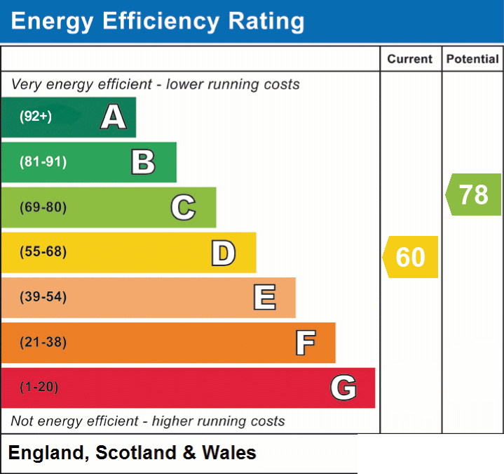
EPC 1
Rental Range
Estimated market rent for Stoke-on-Trent. Low = conservative, Realistic = average, Optimistic = best case.
Based on Local Authority from postcode lookup → Stoke-on-Trent.
LHA (30th percentile) floor for Staffordshire North: £479/mo (Apr 2025 – Mar 2026)
Location
Address
Bridge Road
Nearby
Nearest stations, universities and amenities (distance from property).
| Type | Name | Distance |
|---|---|---|
| Shop | Suzuki Powerslide Motorcycles Ltd | 0.1 miles |
| Shop | Big Star Fireworks | 0.1 miles |
| Bus stop | Unknown | 0.4 miles |
| Hospital | North Staffordshire Hospital | 0.8 miles |
| Hospital | Royal Stoke University Hospital | 1.3 miles |
| Train station | Trentham Leisure | 1.7 miles |
| Train station | Stoke-on-Trent | 1.8 miles |
| University | Keele University | 3.0 miles |
| University | Buxton & Leek College | 11.3 miles |
Street-level crime
| Category | Count |
|---|---|
| Violence and sexual offences | 47 |
| Anti-social behaviour | 38 |
| Shoplifting | 14 |
| Public order | 13 |
| Burglary | 12 |
| Criminal damage and arson | 10 |
| Other theft | 9 |
| Vehicle crime | 7 |
| Drugs | 3 |
| Other crime | 3 |
| Possession of weapons | 2 |
| Robbery | 1 |
| Total incidents | 159 |
Within 1 mile during Aug 2026. Source: data.police.uk (England & Wales).
Schools nearby
Nearest open schools with Ofsted ratings (England). Closed schools are not shown. Data from Get Information about Schools and Ofsted.
| Name | Type | Distance | Ofsted |
|---|---|---|---|
| St Teresa's Catholic (A) Primary School | Primary | 0.3 miles | Good — 5 May 2017 |
| St Joseph's Preparatory School | Other | 0.3 miles | — (No rating) |
| St Joseph's College | Secondary | 0.3 miles | Outstanding — 6 Mar 2014 |
| Oakhill Primary School | Primary | 0.3 miles | Good — 4 Dec 2023 |
| Clayton Hall Academy | Secondary | 0.7 miles | Good — 18 Mar 2024 |
Rental Comparables
Residential lets from OpenRent and Rightmove for the area (same bedroom count). Use to validate rent estimates. Student lets are excluded.
| Title | Rent | Beds | Distance | As seen on |
|---|---|---|---|---|
| Stone Road, Bridge Court Stone Road, ST4 | £585/mo | 2 | 0 miles | Rightmove |
| Walton Road, Trent Vale, ST4 | £900/mo | 2 | 0.07 miles | Rightmove |
| London Road, Stoke-on-Trent, Staffordshire, ST4 | £1,250/mo | 2 | 0.13 miles | Rightmove |
| London Road, Stoke-On-Trent, ST4 | £775/mo | 2 | 0.16 miles | Rightmove |
| Highgrove Road, Stoke-On-Trent | £850/mo | 2 | 0.19 miles | Rightmove |
| Grosvenor Avenue, STOKE-ON-TRENT | £825/mo | 2 | 0.4 miles | Rightmove |
| Alastair Road, Oakhill | £800/mo | 2 | 0.47 miles | Rightmove |
| Fairbank Avenue, Stoke-on-trent | £925/mo | 2 | 0.63 miles | Rightmove |
| James Street, Penkhull | £795/mo | 2 | 0.78 miles | Rightmove |
| Brandon Grove, Stoke-On-Trent | £1,200/mo | 2 | 0.8 miles | Rightmove |
| Shelburne Street, Stoke-On-Trent | £895/mo | 2 | 0.83 miles | Rightmove |
| New Inn Lane, Trentham, ST4 | £1,300/mo | 2 | 0.93 miles | Rightmove |
| Corporation Street, Stoke-on-Trent, Staffordshire, ST4 | £725/mo | 2 | 1.06 miles | Rightmove |
| Lukesland Avenue, ST4 | £995/mo | 2 | 1.08 miles | Rightmove |
| Lionel Grove, Stoke-on-trent | £925/mo | 2 | 1.13 miles | Rightmove |
| Campbell Road, Stoke-On-Trent, ST4 | £700/mo | 2 | 1.19 miles | Rightmove |
| Boon Avenue, Stoke-On-Trent | £895/mo | 2 | 1.29 miles | Rightmove |
| Gresty Street, Stoke-On-Trent | £795/mo | 2 | 1.3 miles | Rightmove |
| Greatbatch Avenue, Stoke-On-Trent, ST4 | £775/mo | 2 | 1.3 miles | Rightmove |
| Atherstone Road, Trentham, Stoke-On-Trent | £825/mo | 2 | 1.31 miles | Rightmove |
Average rent: £898/mo (49 listings)
Enter House Number
Enter the house number to help us retrieve more accurate pricing history and property data.
Please log in to submit or correct the house number for this listing.
Log in to continue