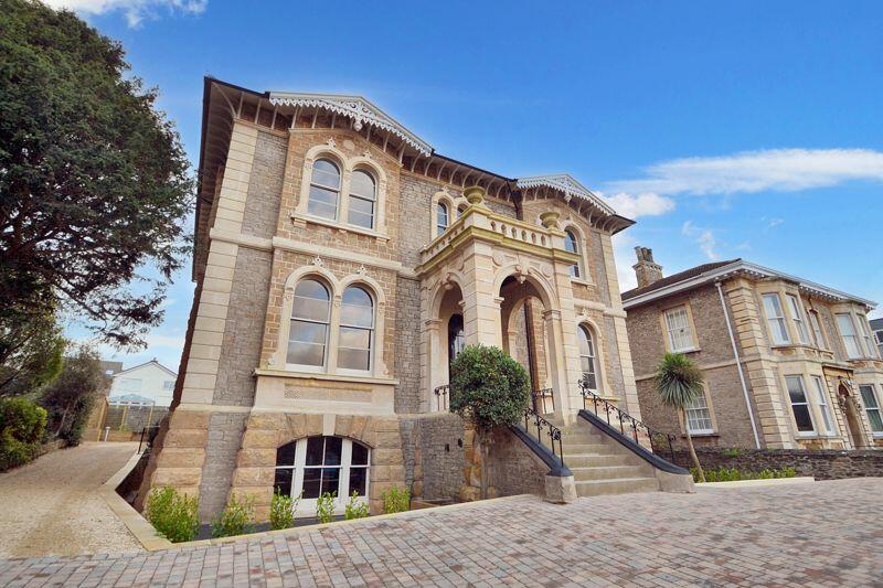
FLAT 2
PENDENNIS, 8, ELTON ROAD, CLEVEDON, NORTH SOMERSET BS21 7RF
£1,050 pcm
Property details
Floor area
119 m²
Council tax band
A
EPC rating
D
Year built
England and Wales: before 1900
Deprivation
Decile 9 (27,836 of 33,755)
Street crime
99 incidents within 1 mile (Apr 2026)
Key features
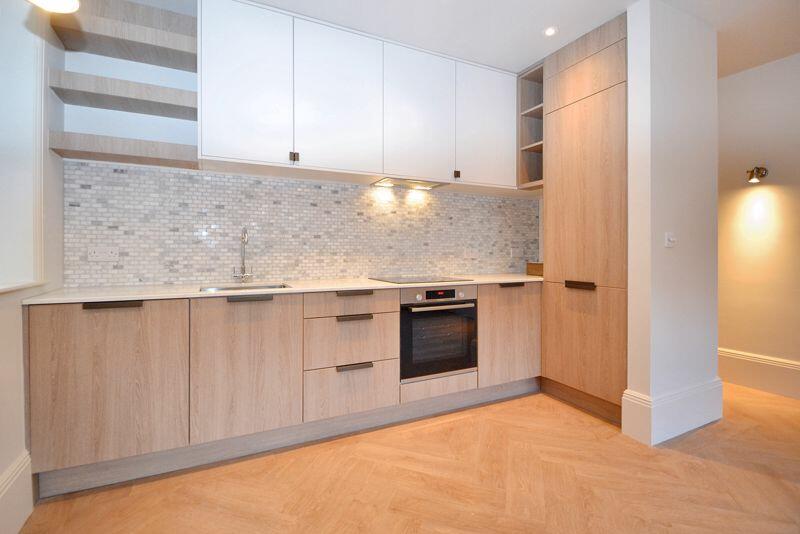
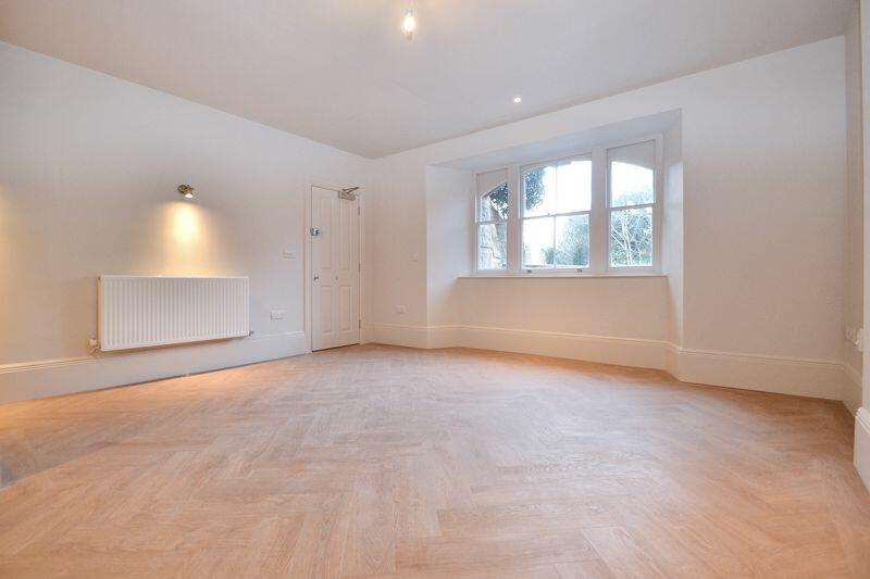
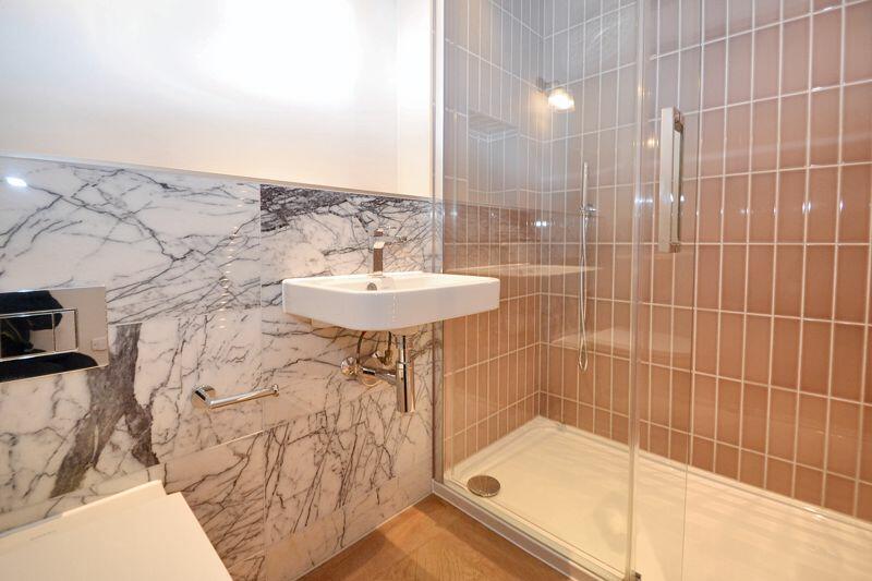
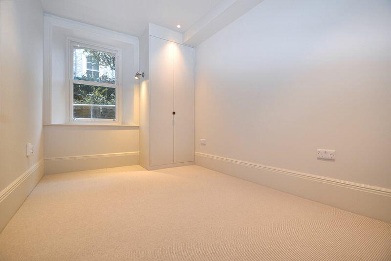
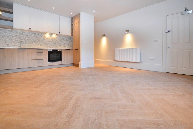
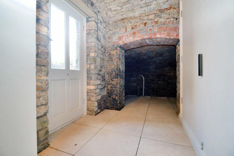
- Newly renovated elegant period apartment retaining great character throughout
- Spacious double size bedroom accommodation
- Security Deposit - £1211.54
- Holding Deposit - £241.64
- Tenancy Term - from 12 months
- EPC Rating - C
- Council Tax Band - A
Additional details
- Parking
- Yes
- Garden
- Yes
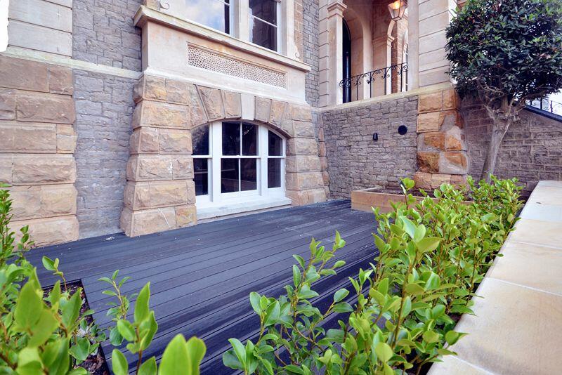
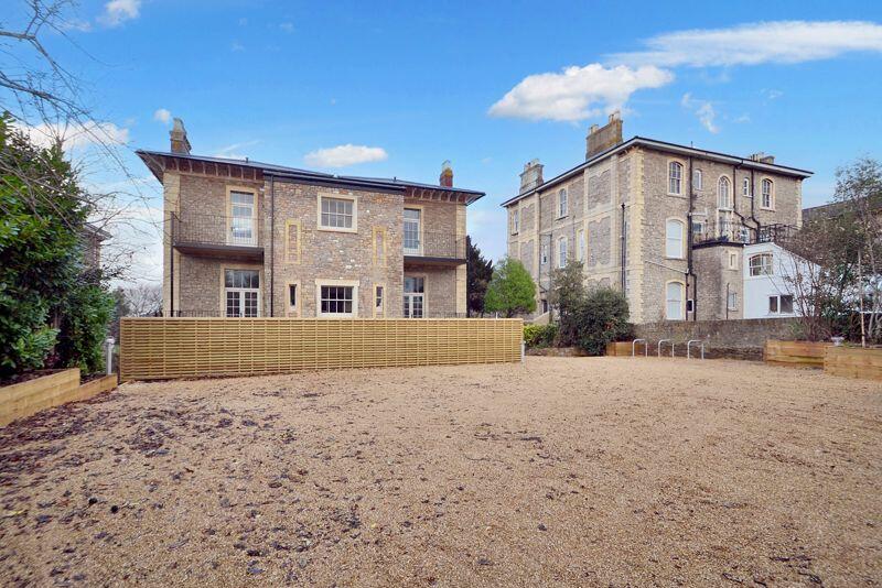
Description
The property also benefits from a private front courtyard garden area and allocated parking space. Situated in a most idyllic place for a picturesque evening walk along the sea front or a more vibrant evening out on Hill road where there are a variety of restaurants cafes and bars, the apartment is in just about the perfect spot!
Listed by
Clevedon
Mark Templer and Company Limited
Reference: 153560789
EPC Rating & Upgrade Cost
Current rating: D
Potential rating: C
Inspection date: 17/01/2020
Current heating cost: £720/year
Potential heating cost: £365/year
Est. upgrade cost to C: £9,015
Recommendations
- 50 mm internal or external wall insulation (£4,000 - £14,000)
- Low energy lighting for all fixed outlets (£15)
Flood risk
Zone: 1
Risk: Low
Job (default Low)
Rental Range
Estimated market rent for North Somerset. Low = conservative, Realistic = average, Optimistic = best case.
Based on Local Authority from postcode lookup → North Somerset.
LHA (30th percentile) floor for Bristol: £898/mo (Apr 2025 – Mar 2026)
Location
Address
5 Elton Road
Nearby
Nearest stations, universities and amenities (distance from property).
| Type | Name | Distance |
|---|---|---|
| Shop | R G Rawlings Funeralcare | 0.1 miles |
| Shop | Clevedon Community Bookshop | 0.1 miles |
| Bus stop | Six Ways (Albert Road) | 0.1 miles |
| Bus stop | Six Ways, Linden Road | 0.1 miles |
| Hospital | Clevedon Community Hospital | 0.6 miles |
| Train station | Yatton | 3.7 miles |
| Train station | Nailsea and Backwell | 4.9 miles |
| Hospital | Cygnet Hospital Kewstoke | 6.8 miles |
| University | University of Bristol Langford Campus | 7.5 miles |
| University | University of Bristol | 7.7 miles |
Street-level crime
| Category | Count |
|---|---|
| Violence and sexual offences | 25 |
| Public order | 15 |
| Anti-social behaviour | 13 |
| Vehicle crime | 13 |
| Shoplifting | 7 |
| Burglary | 6 |
| Criminal damage and arson | 6 |
| Other theft | 6 |
| Bicycle theft | 3 |
| Drugs | 2 |
| Other crime | 1 |
| Possession of weapons | 1 |
| Robbery | 1 |
| Total incidents | 99 |
Within 1 mile during Apr 2026. Source: data.police.uk (England & Wales).
Schools nearby
Nearest open schools with Ofsted ratings (England). Closed schools are not shown. Data from Get Information about Schools and Ofsted.
| Name | Type | Distance | Ofsted |
|---|---|---|---|
| St Nicholas Chantry Church of England Primary School | Primary | 0.6 miles | — (Inspected (no overall grade)) |
| Seven Hills | Other | 0.6 miles | Good — 11 Dec 2023 |
| Yeo Moor Primary School | Primary | 0.8 miles | Good — 18 Jul 2023 |
| St John the Evangelist Church School | Primary | 0.8 miles | Good — 26 Jun 2013 |
| All Saints Church of England Primary School | Primary | 0.8 miles | Good — 19 Jun 2012 |
Rental Comparables
Rental listings exist nearby, but none matched the 1-bedroom count for this property.