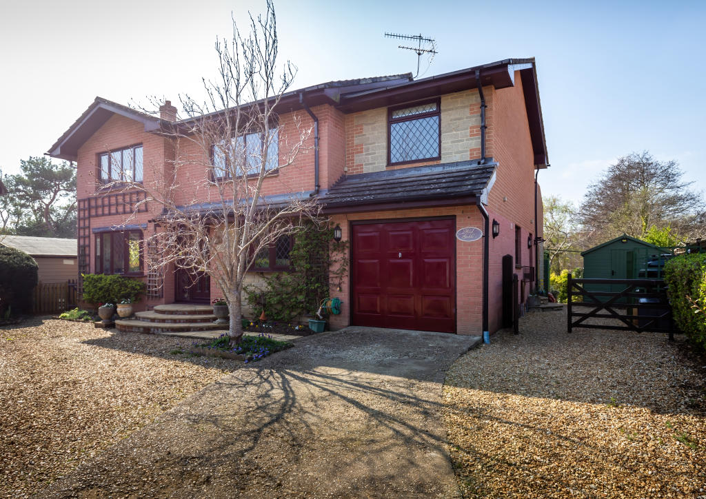
RED GABLES
MOORTOWN LANE, NEWPORT, BRIGHSTONE, ISLE OF WIGHT PO30 4AN
£699,950

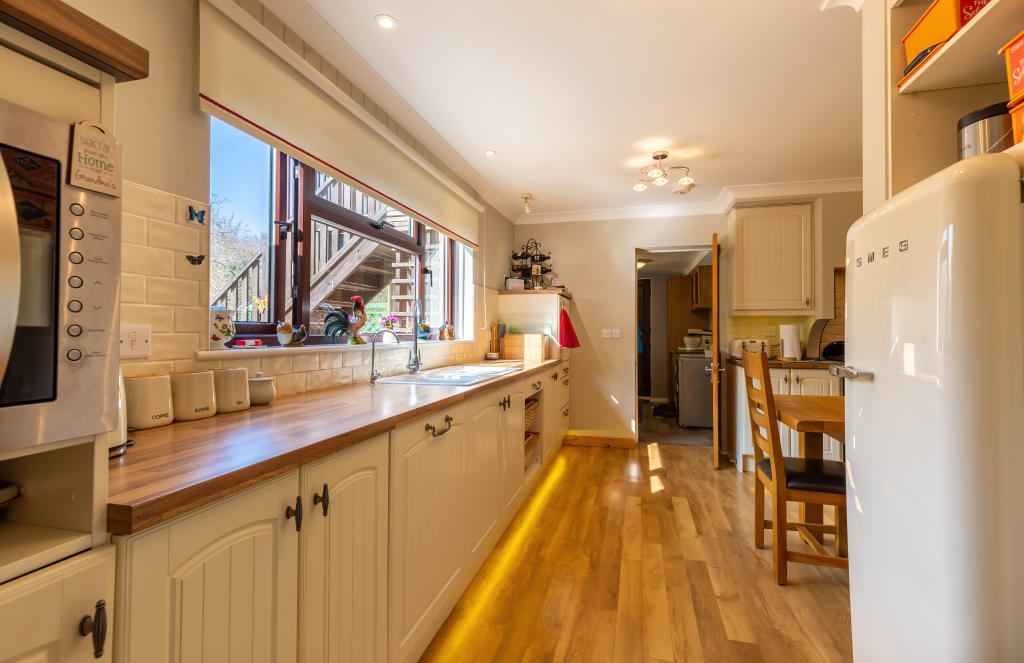
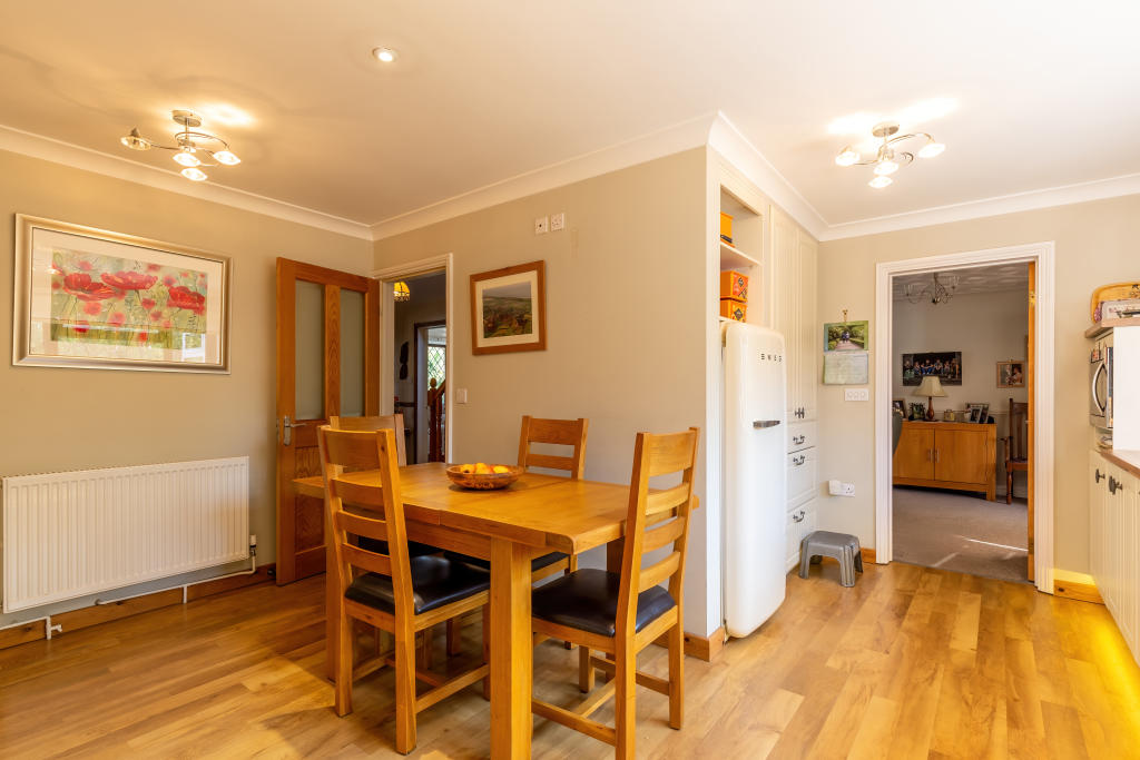
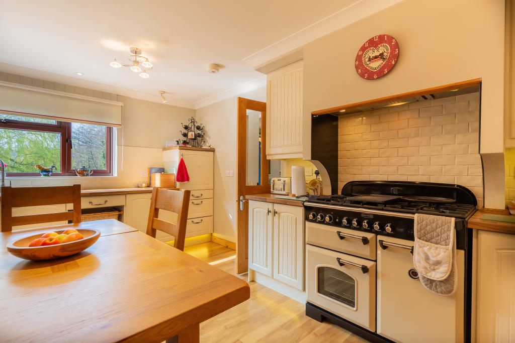
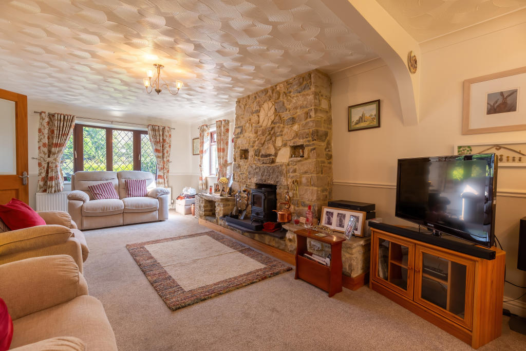
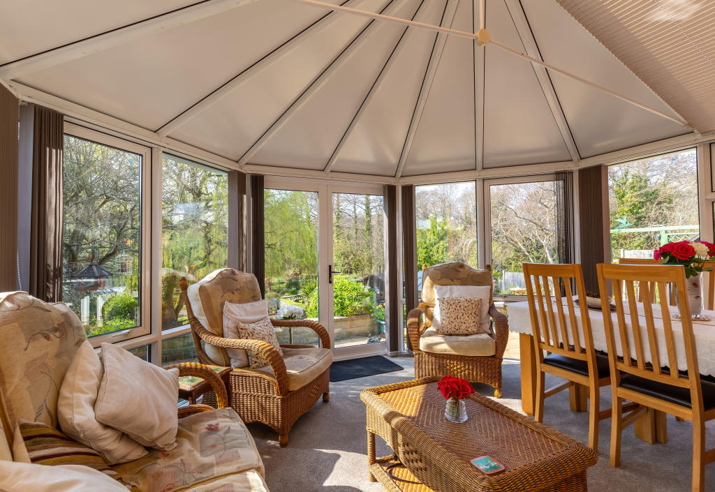
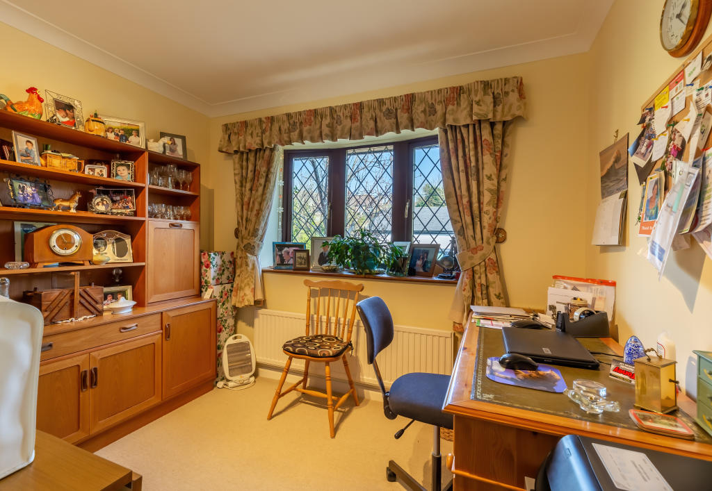
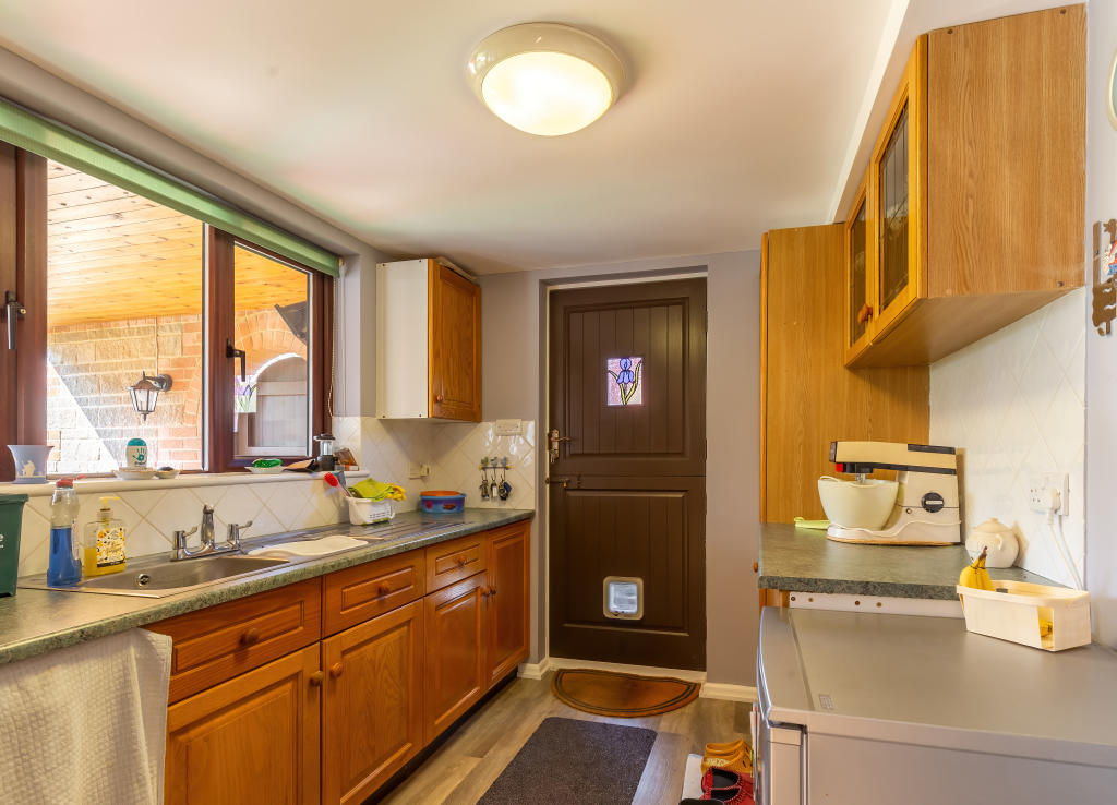
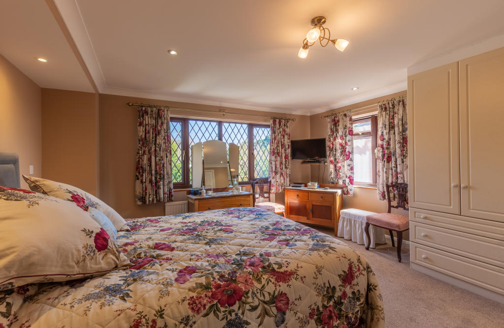
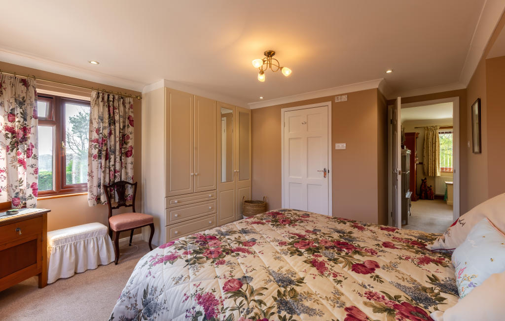
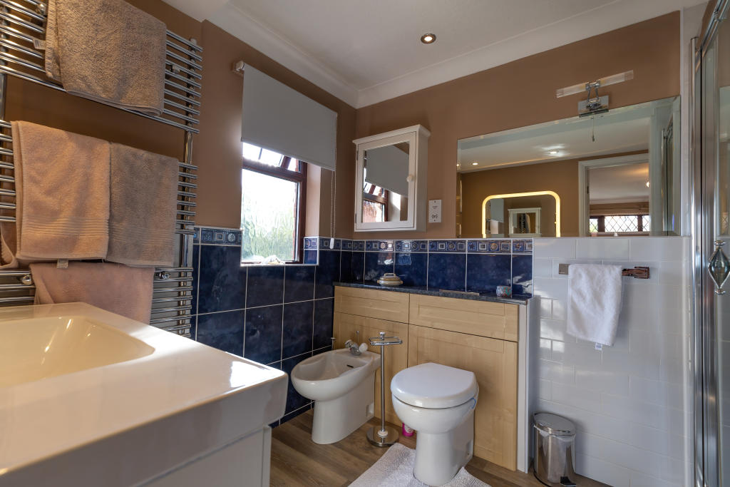
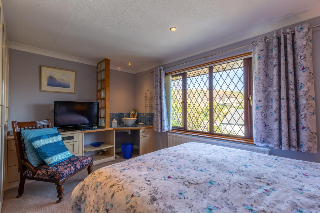
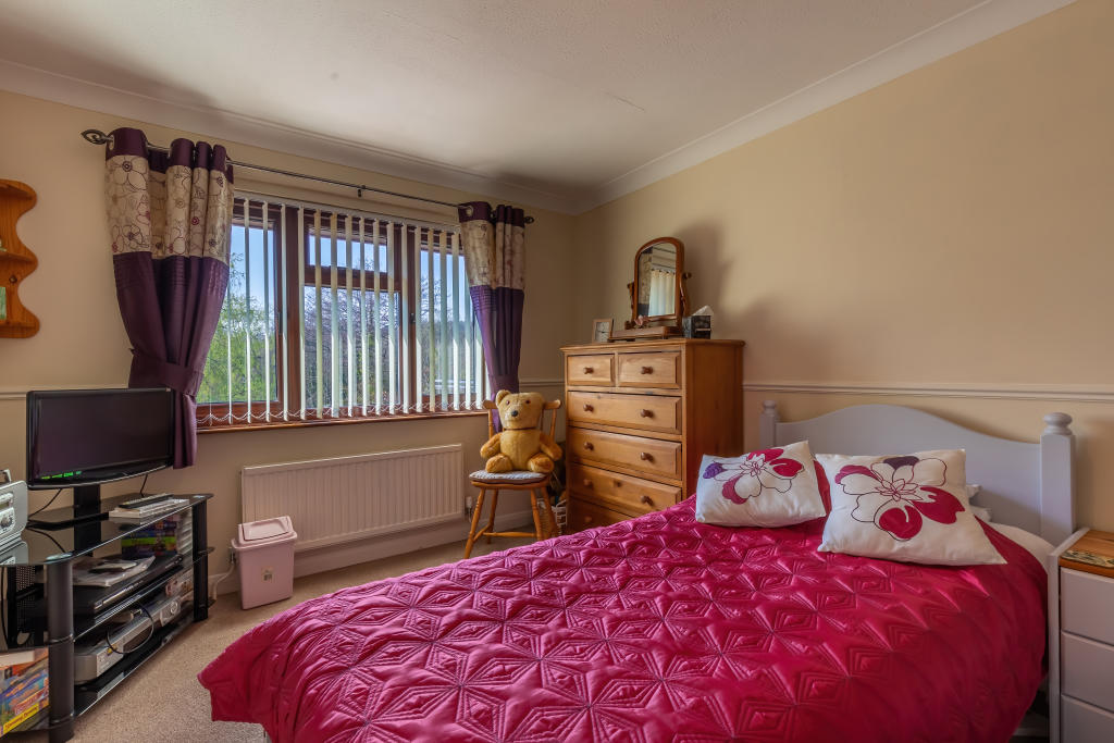
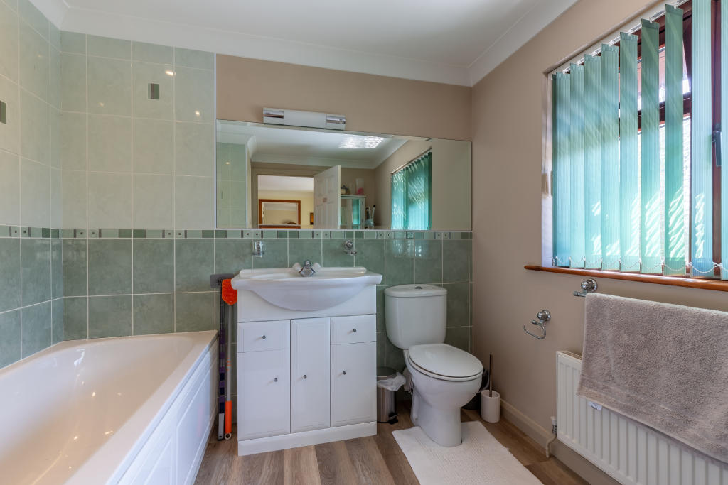
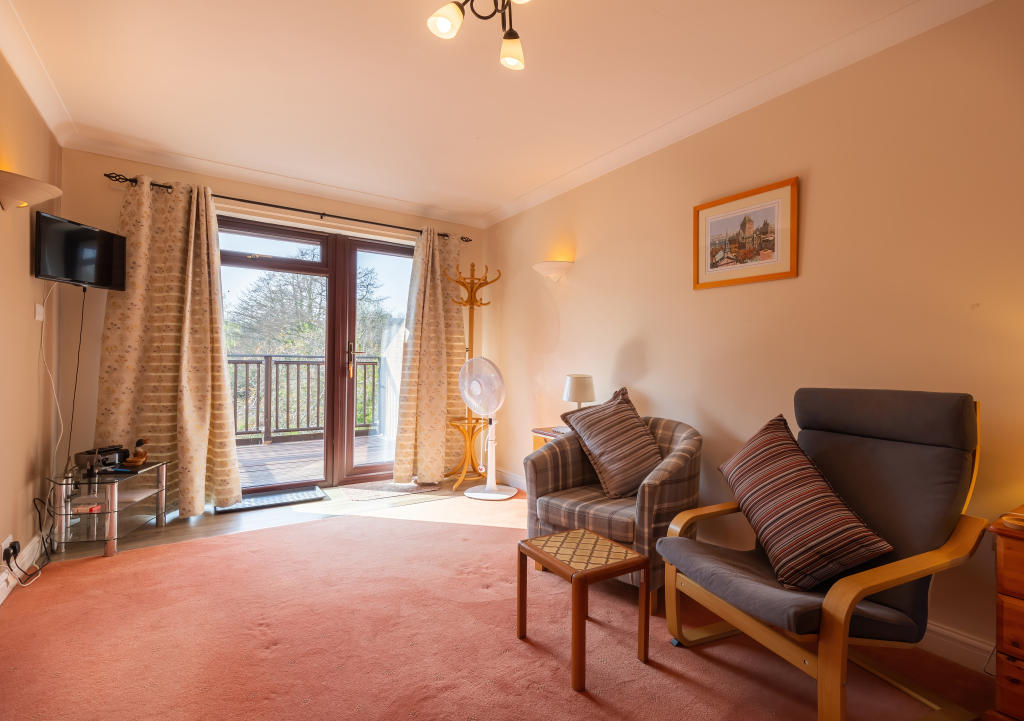
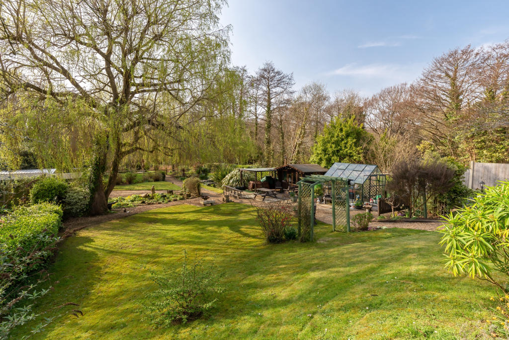
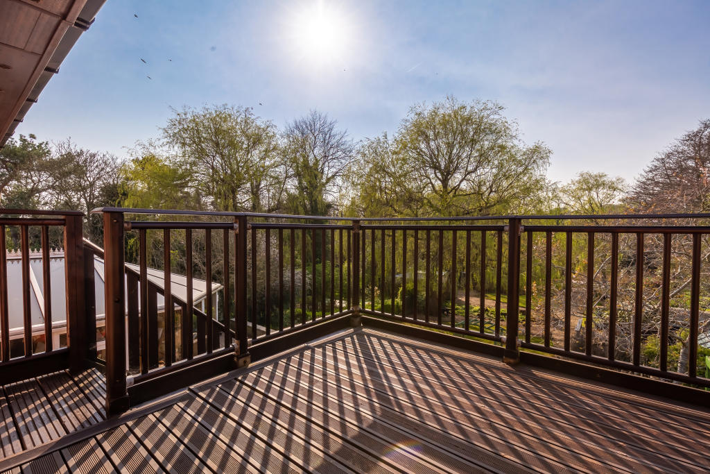
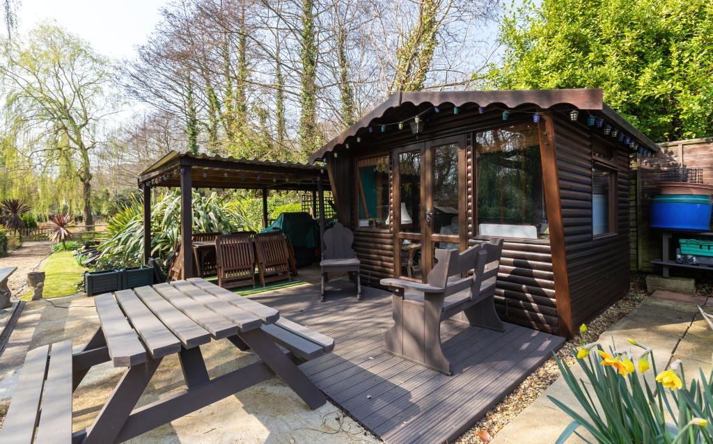
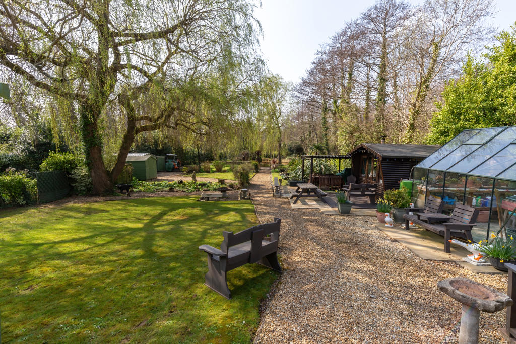
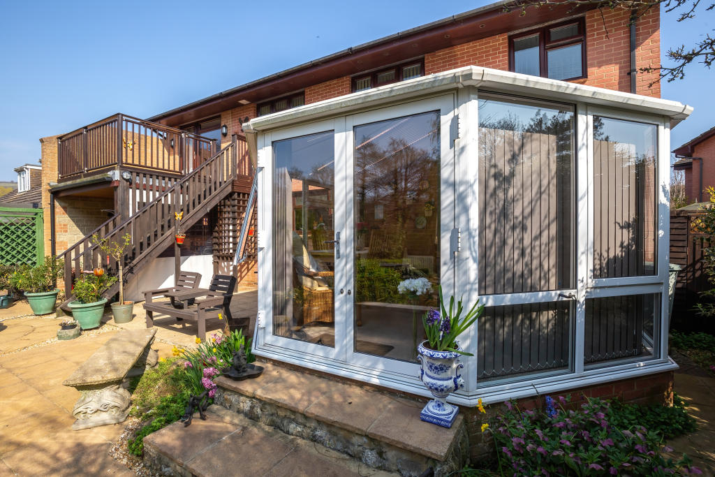
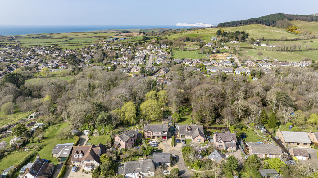
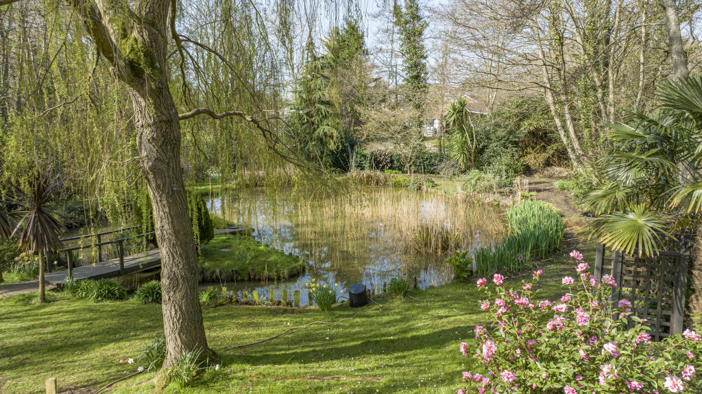
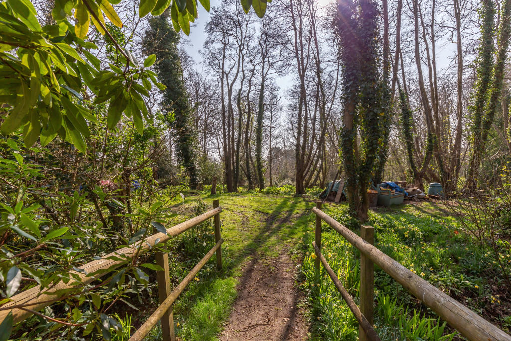
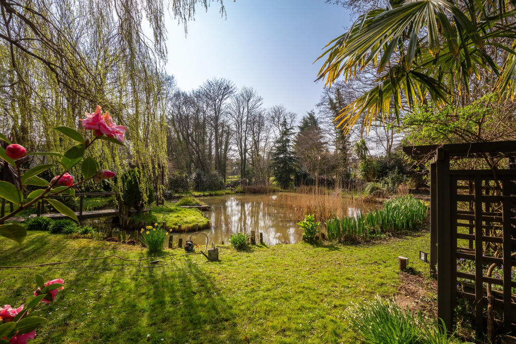
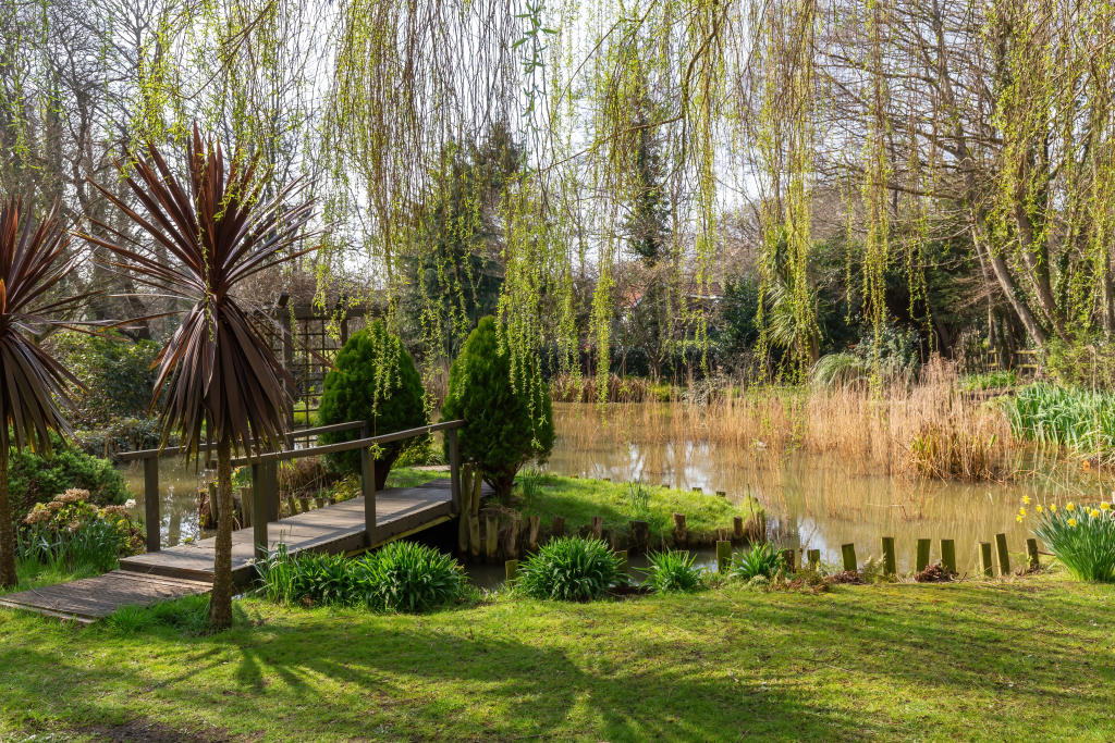
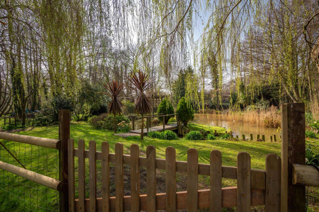
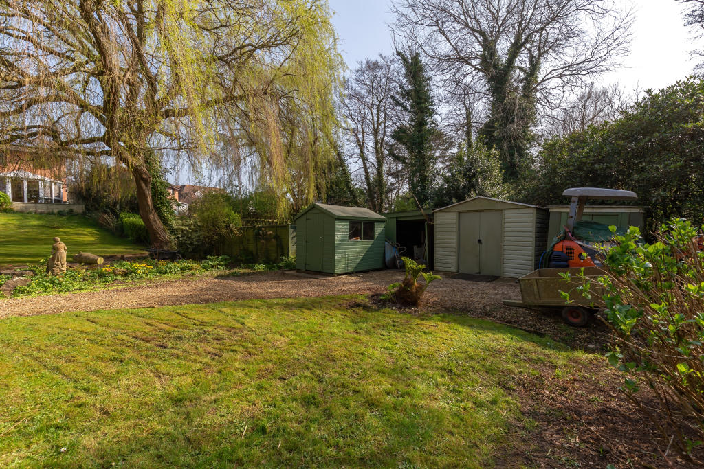
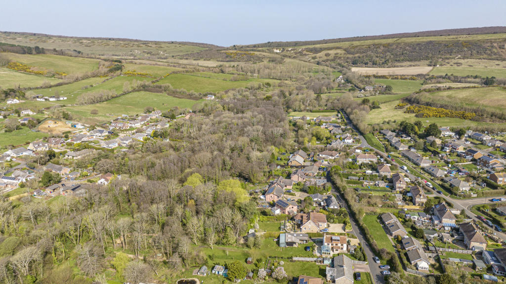
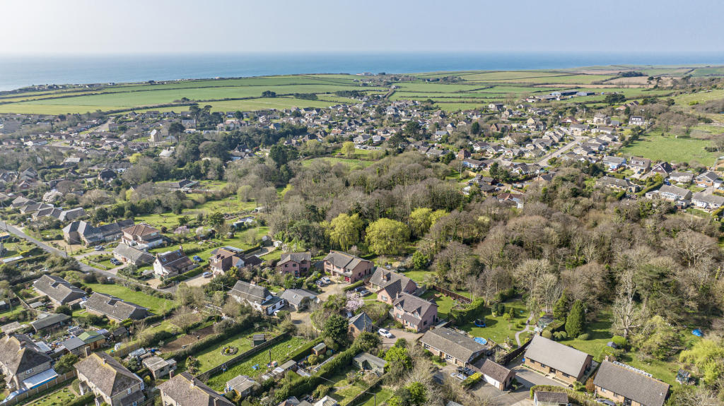
Front Gardens & Pond Kitchen Kitchen/Dining Area Kitchen Lounge Conservatory Study/Bedroom 5 Utility Room Bedroom 1 Bedroom 1 Bedroom 1 Ensuite Bedroom 3 Bedroom 4 Family Bathroom Bedroom 2 Gardens Decked Roof Terrace Photo 28 Gardens Rear of the Property Aerial View - Toward Gardens & Pond Gardens Garden and Pond Gardens & Pond Garden & Pond Gardens Aerial View Aerial View
/ 30
Property details
Tenure
FREEHOLD
Floor area
179 m²
Council tax band
F
EPC rating
D
Year built
England and Wales: 1983-1990
Last sold
£675,000 May 2023
Price per m²
£3,910/m²
Local average
£411,455 (+70.1%)
Deprivation
Decile 5 (14,505 of 33,755)
Street crime
4 incidents within 1 mile (Apr 2026)
Key features
- Substantial Detached Home
- Sought After Location
- 5 Bedrooms, 3 Bathrooms
- Large Mature Garden & Pond
- Flexible Accommodation
- Ample Parking
Additional details
- Parking
- Yes
- Garden
- Yes
Description
Listed by
Freshwater
Leaders and Romans Group
Reference: 129076220
EPC Rating & Upgrade Cost
Current rating: D
Potential rating: C
Inspection date: 27/06/2022
Expiry date: 26/06/2032
Current heating cost: £914/year
Potential heating cost: £699/year
Est. upgrade cost to C: £8,825
Recommendations
- Increase loft insulation to 270 mm (£100 - £350)
- Floor insulation (suspended floor) (£800 - £1,200)
- Replace boiler with new condensing boiler (£2,200 - £3,000)
- Solar water heating (£4,000 - £6,000)
Flood risk
Zone: 1
Risk: Low
Job (default Low)
Floorplans
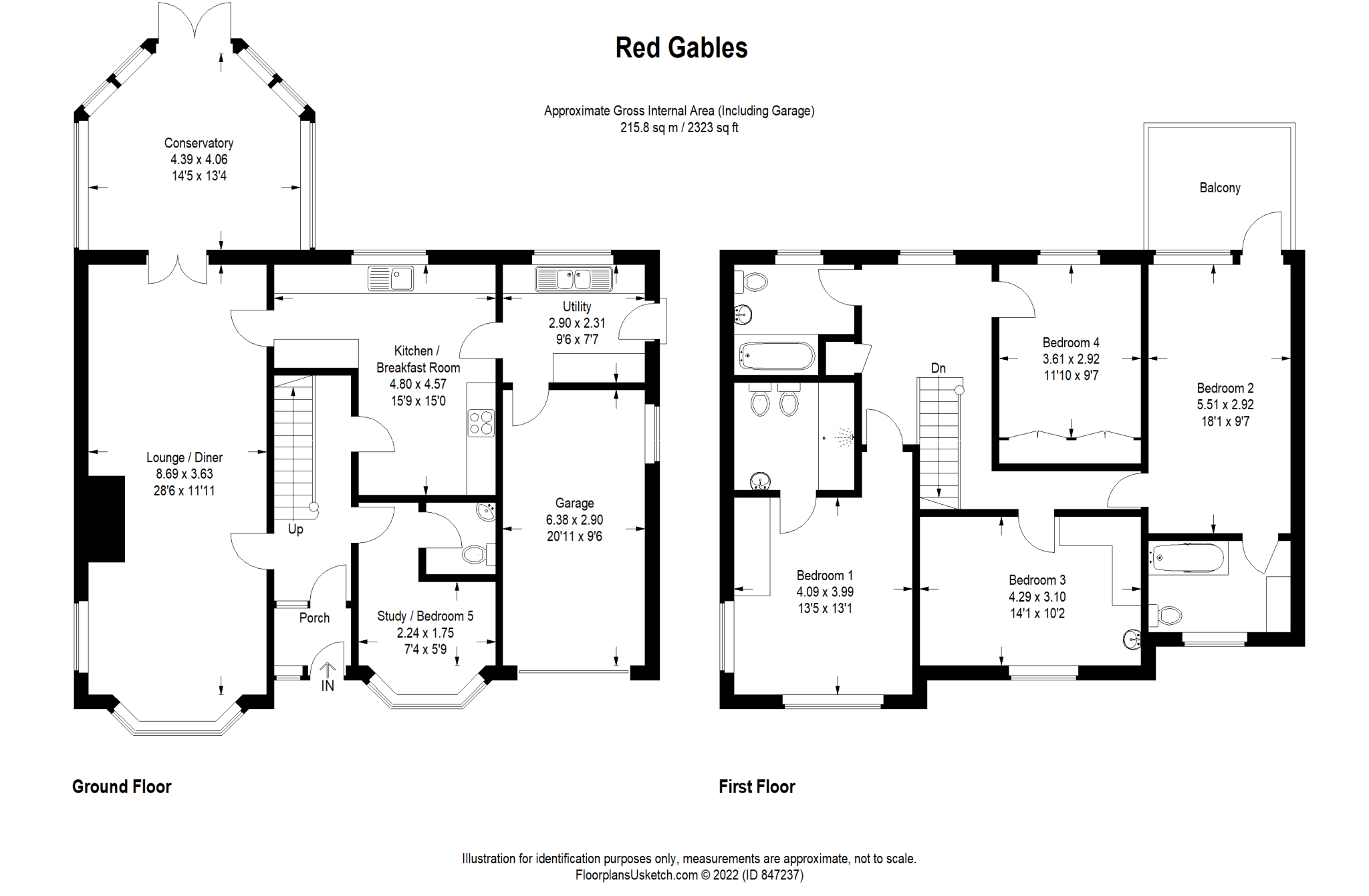
Floorplan
EPC Graphs
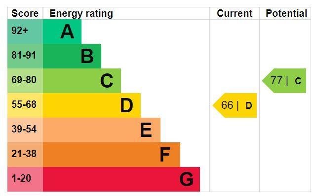
EPC Graph
Price history
| Event | Date | Price | % change |
|---|---|---|---|
| Sold | 15/05/2023 (3 years ago) | £675,000 | — |
Source: HM Land Registry Price Paid Data. Crown copyright.
Sold Comparables
Same street and nearby sales within 0.25 miles (last 5 years). Data from Land Registry Price Paid.
| Address | Price | Date | Type |
|---|---|---|---|
| WEIRSIDE COTTAGE MAIN ROAD, BRIGHSTONE, NEWPORT, ISLE OF WIGHT, PO30 4DJ | £398,500 | 19/12/2025 | Detached |
| Same street BLANCHARDS MOORTOWN LANE, BRIGHSTONE, NEWPORT, ISLE OF WIGHT, PO30 4AN | £495,000 | 11/01/2024 | Detached |
| 2 LODGE CLOSE, BRIGHSTONE, NEWPORT, ISLE OF WIGHT, PO30 4BX | £345,000 | 21/07/2023 | Detached |
| MOORLANDS MAIN ROAD, BRIGHSTONE, NEWPORT, ISLE OF WIGHT, PO30 4DJ | £598,000 | 28/09/2022 | Detached |
| 21 ASHLEY WAY, BRIGHSTONE, NEWPORT, ISLE OF WIGHT, PO30 4HH | £180,000 | 14/04/2022 | Detached |
| 33 ASHLEY WAY, BRIGHSTONE, NEWPORT, ISLE OF WIGHT, PO30 4HH | £315,000 | 07/12/2021 | Detached |
| 4 BROOK EDGE, BRIGHSTONE, NEWPORT, ISLE OF WIGHT, PO30 4DP | £380,000 | 29/09/2021 | Detached |
| Same street GREENHILL MOORTOWN LANE, BRIGHSTONE, NEWPORT, ISLE OF WIGHT, PO30 4AN | £420,000 | 28/09/2021 | Detached |
| FERMAIN UPPER LANE, BRIGHSTONE, NEWPORT, ISLE OF WIGHT, PO30 4AT | £310,000 | 24/09/2021 | Detached |
| IVY COTTAGE GAGGERHILL LANE, BRIGHSTONE, NEWPORT, ISLE OF WIGHT, PO30 4DX | £450,000 | 22/09/2021 | Detached |
| 3 WOODLANDS, BRIGHSTONE, NEWPORT, ISLE OF WIGHT, PO30 4DN | £745,000 | 30/06/2021 | Detached |
Street average: £457,500 (2 sales)
Area average: £413,500 (9 sales)
Capital growth trend
Land Registry outcode average: last 12 months vs 5y and 10y ago (from sold prices).
House Price Index (HM Land Registry — official index, not sold-price averages): Isle of Wight. Series: Detached. As of March 2026.
Rental Range
Estimated market rent for Isle of Wight. Low = conservative, Realistic = average, Optimistic = best case.
Based on Local Authority from postcode lookup → Isle of Wight.
Location
Address
Moortown Lane
Nearby
Nearest stations, universities and amenities (distance from property).
| Type | Name | Distance |
|---|---|---|
| Bus stop | Brighstone Upper Lane | 0.1 miles |
| Bus stop | Moortown Lane | 0.2 miles |
| Shop | Brighstone Newsagents | 0.4 miles |
| Shop | 1-2-1 Hairdressing | 0.4 miles |
| Hospital | Laidlaw Day Hospital | 6.2 miles |
| Hospital | St Mary's Hospital | 6.2 miles |
| Train station | Wootton | 8.6 miles |
| Train station | Havenstreet | 9.1 miles |
Street-level crime
| Category | Count |
|---|---|
| Criminal damage and arson | 2 |
| Public order | 1 |
| Violence and sexual offences | 1 |
| Total incidents | 4 |
Within 1 mile during Apr 2026. Source: data.police.uk (England & Wales).
Schools nearby
Nearest open schools with Ofsted ratings (England). Closed schools are not shown. Data from Get Information about Schools and Ofsted.
| Name | Type | Distance | Ofsted |
|---|---|---|---|
| Brighstone Church of England Aided Primary School | Primary | 0.4 miles | Good — 25 Mar 2024 |
| Shalfleet Church of England Primary School | Primary | 4.0 miles | Good — 25 Nov 2014 |
Rental Comparables
Loading rental comparables for this postcode. Refresh in a few minutes.
Rent-driven metrics
Based on Area rent estimate.
- Rent ratio — Monthly rent ÷ purchase price (1% rule). 1%+ = strong, 0.8–1% = okay, <0.8% = weak for cashflow.
- Max investor price — Rent ÷ 0.8%; the price at which rent would be 0.8% of price (Stoke-style target).
- Target investor price — Rent ÷ 1%; the price at which rent would be 1% of price (strong cashflow band).
- Gross yield — Annual rent as % of purchase price (no costs).