47 LINTON AVENUE
BOREHAMWOOD, HERTFORDSHIRE WD6 4RB
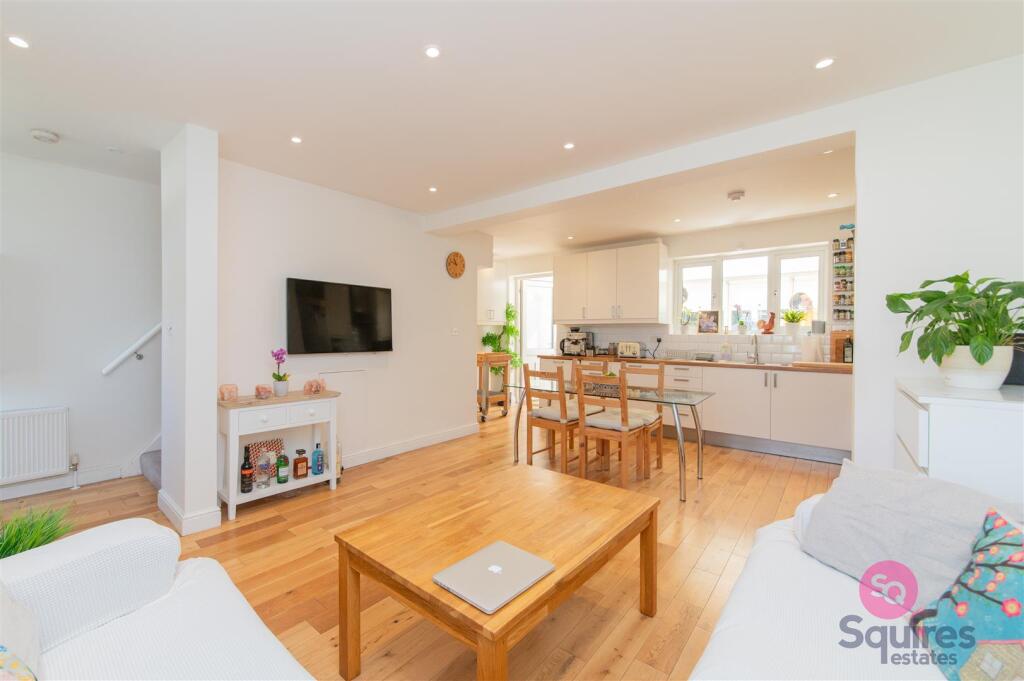
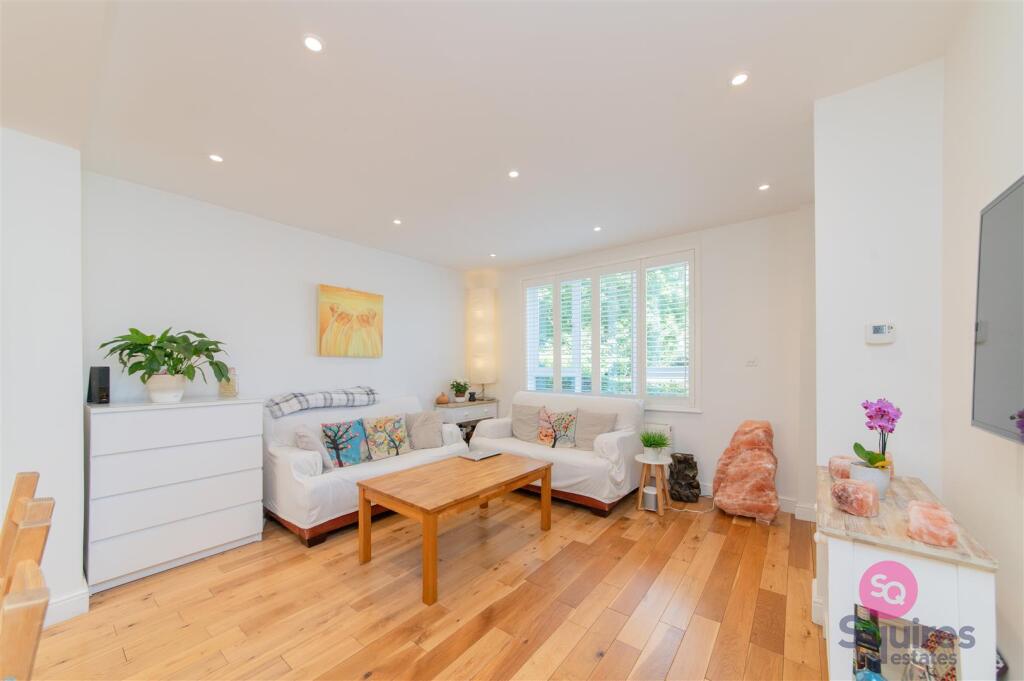
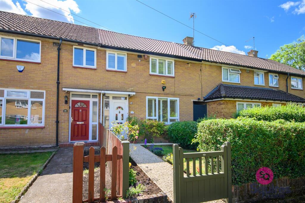
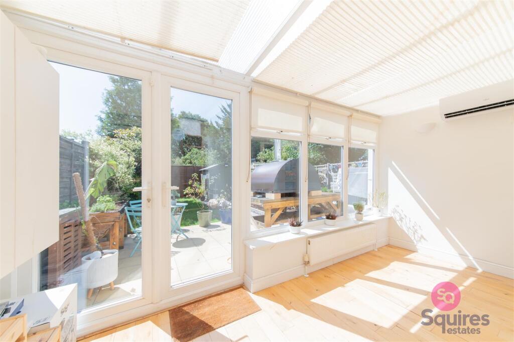
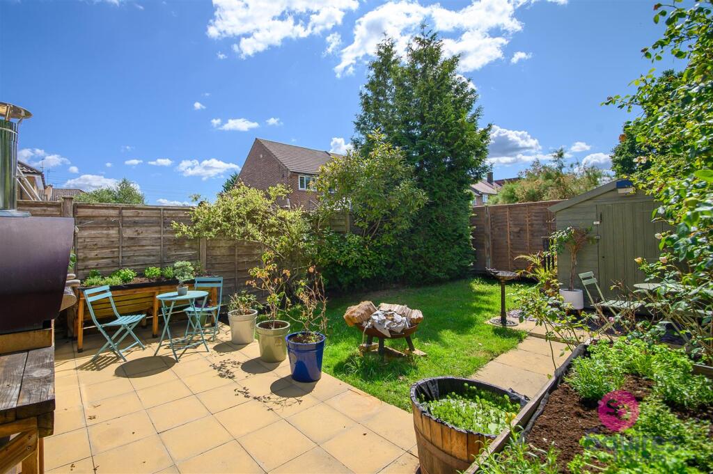
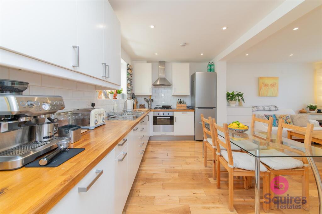
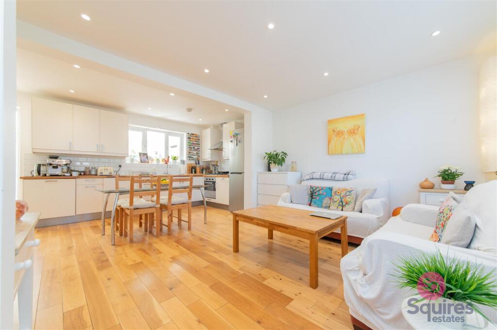
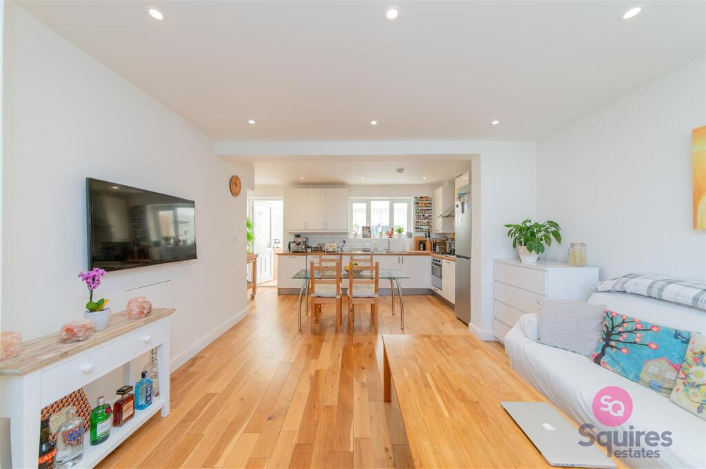
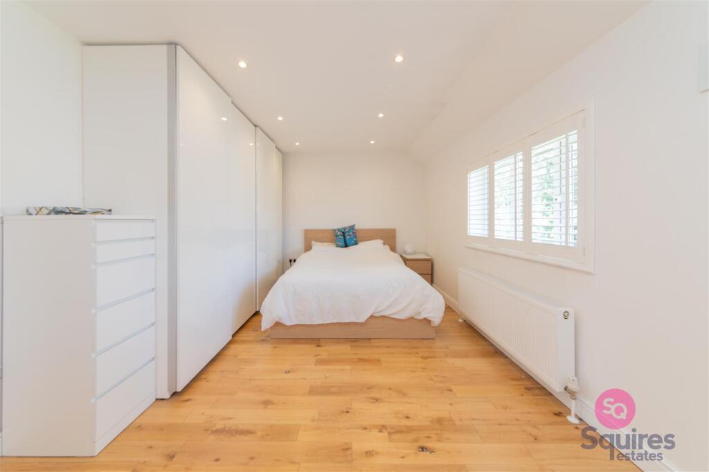
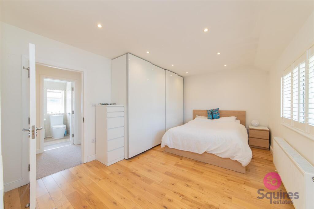
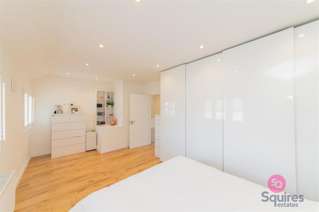
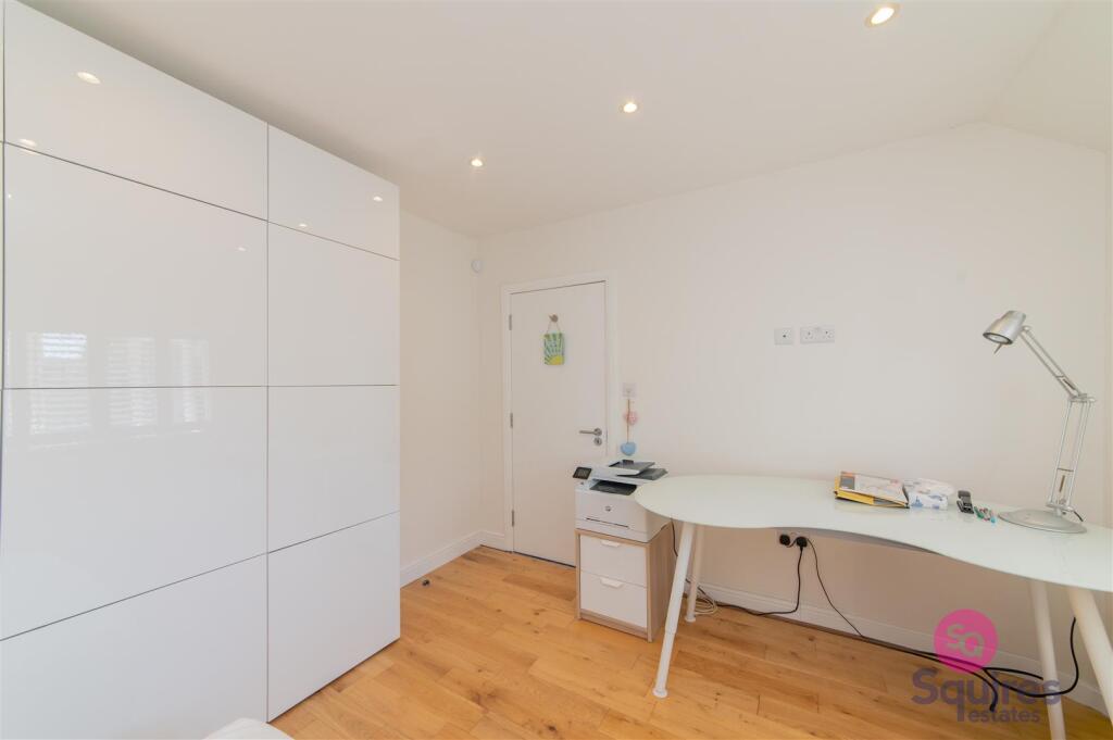
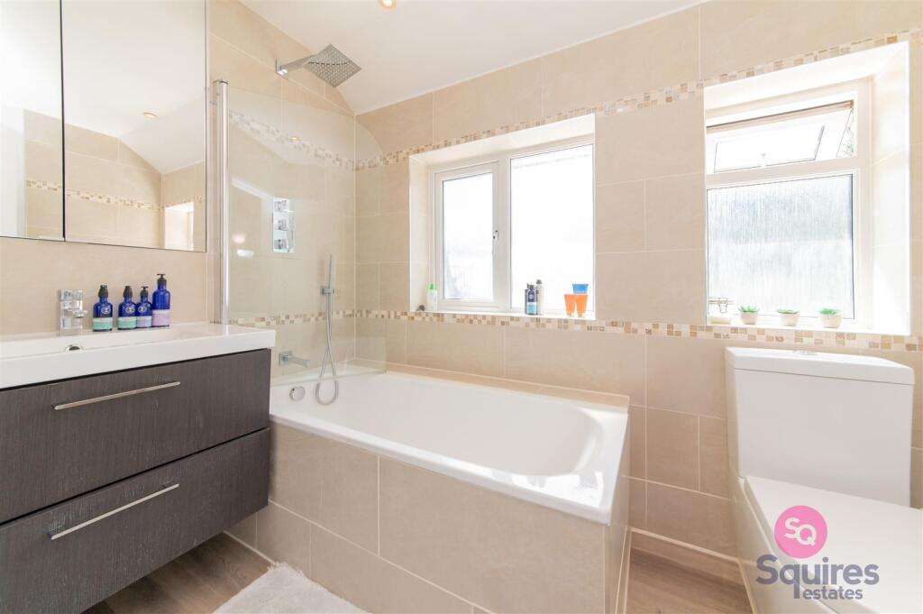
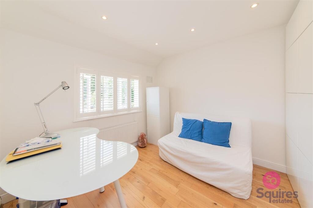
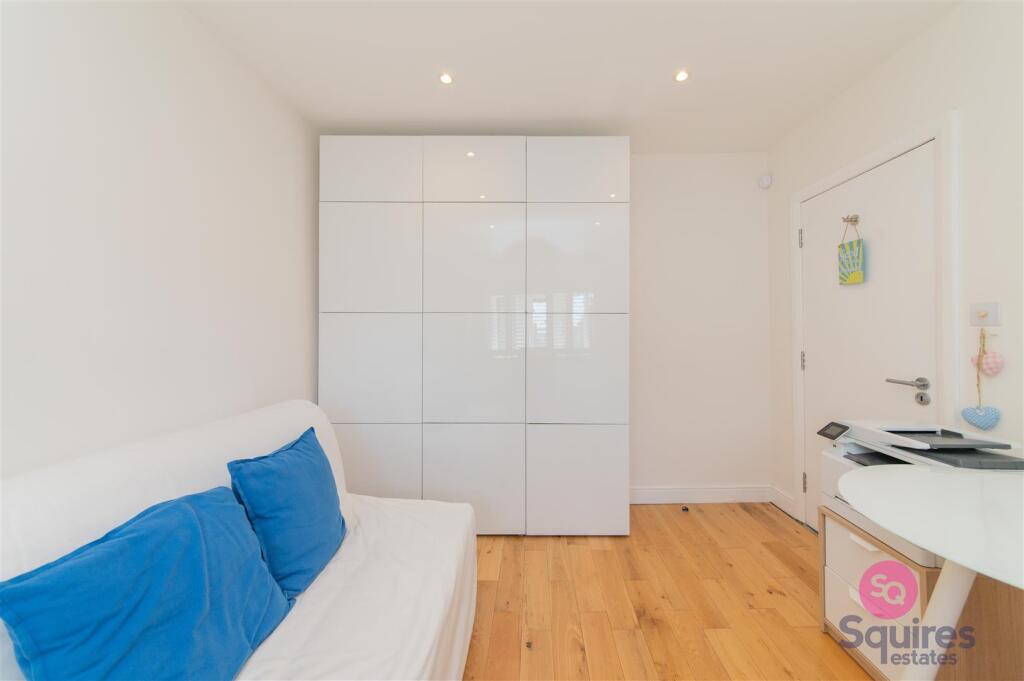
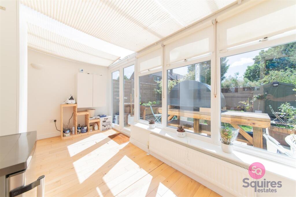
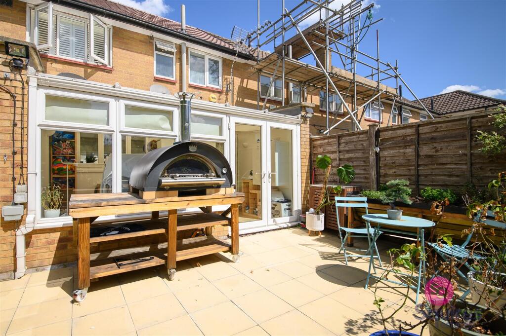
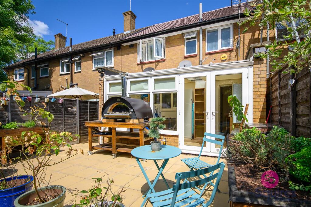
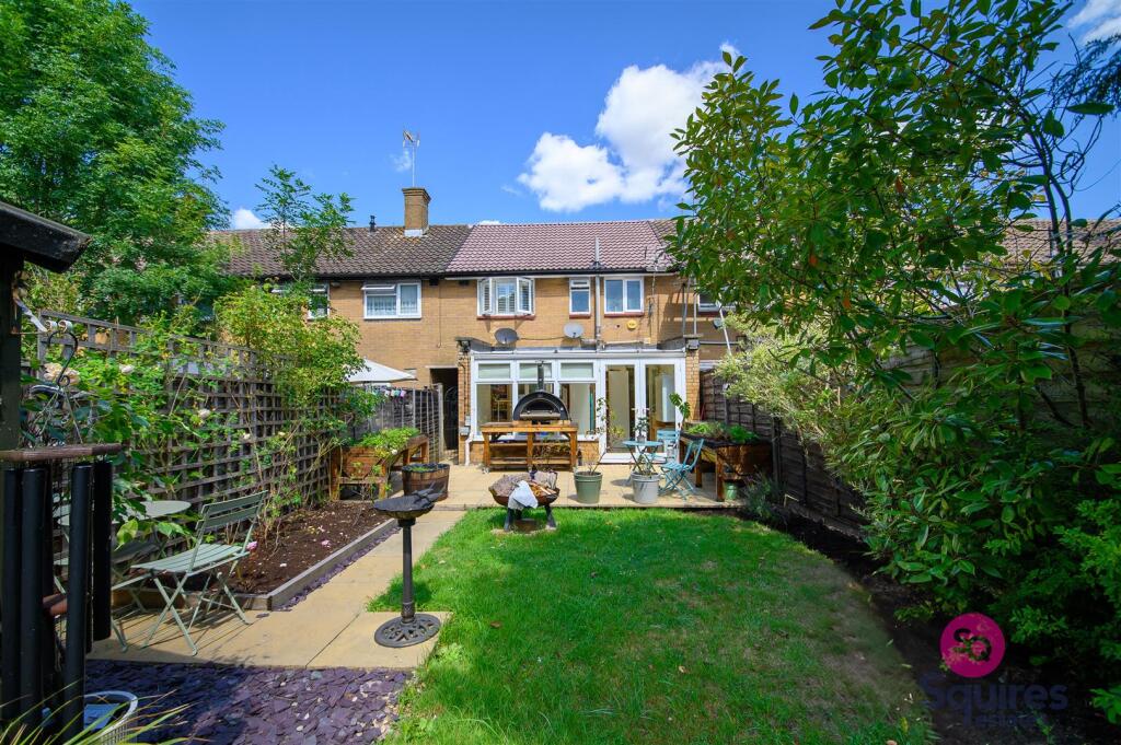
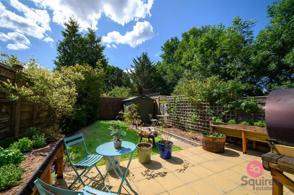
Photo 1 Photo 2 Photo 3 Photo 4 Photo 5 Photo 6 Photo 7 Photo 8 Photo 9 Photo 10 Photo 11 Photo 12 Photo 13 Photo 14 Photo 15 Photo 16 Photo 17 Photo 18 Photo 19 Photo 20
/ 20
Property details
Floor area
85 m²
Council tax band
D
Deprivation
Decile 5 (15,709 of 33,755)
Street crime
283 incidents within 1 mile (Apr 2026)
Key features
- Beautifully Presented 2-bedroom House
- Available Now
- Spacious Open-plan Reception Area
- Modern Kitchen
- Front & Rear Gardens
- Bright and Airy Throughout
- Part Furnished
- Short walk to local shops, schools, parks, and places of worship
- Close to Elstree & Borehamwood Station
- Hertsmere Council Tax Band D
Additional details
- Garden
- Yes
Description
The property is offered part furnished. Ideally located within walking distance of local shops, schools, parks, places of worship, and Elstree & Borehamwood Station, this home offers both comfort and excellent connectivity.
Must be seen!
Deposit: £2,134
Hertsmere Council Tax: Band D
Listed by
Hendon
Squires Estates
Reference: 166261175
EPC Rating & Upgrade Cost
Fetching EPC data… Refresh this page in a moment.
Flood risk
Zone: 1
Risk: Low
Job (default Low)
Floorplans
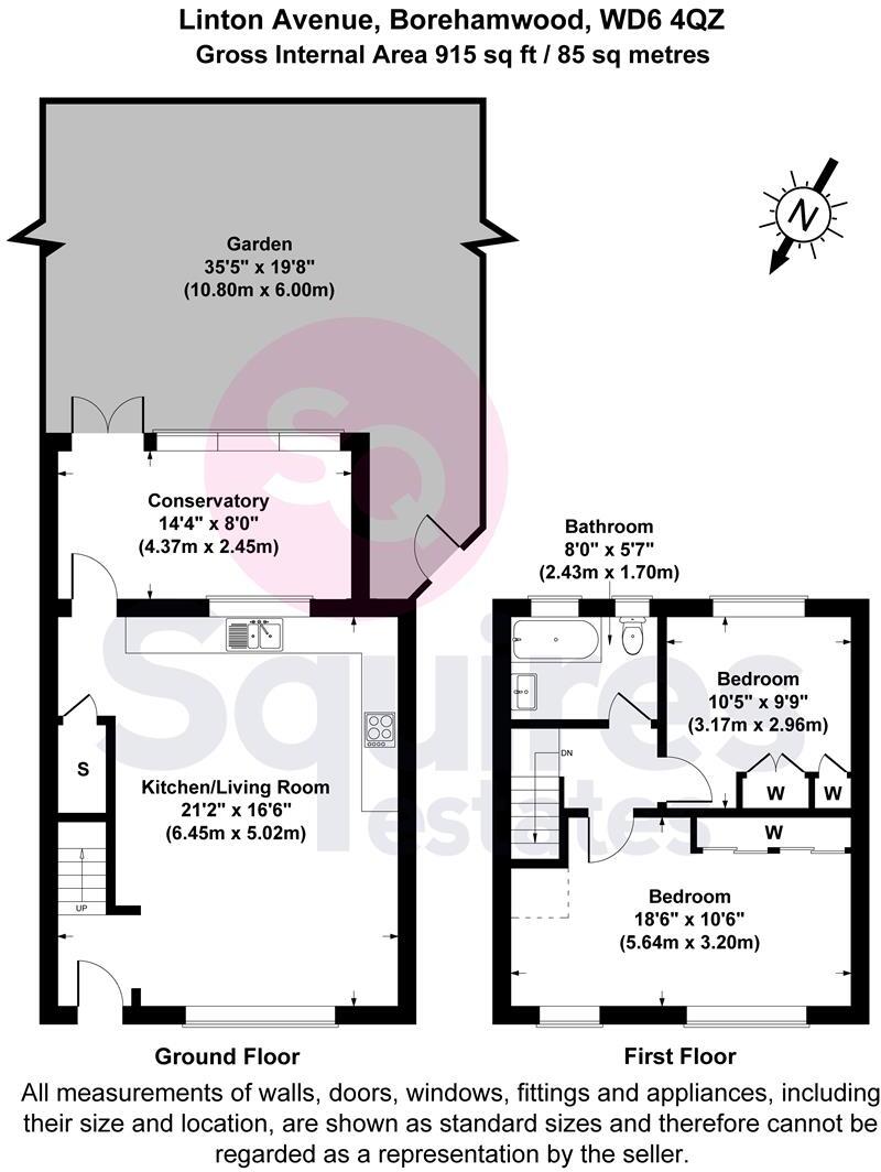
Floorplan 1
Rental Range
Estimated market rent for Hertsmere. Low = conservative, Realistic = average, Optimistic = best case.
Based on Local Authority from postcode lookup → Hertsmere.
LHA (30th percentile) floor for Bedford: £823/mo (Apr 2025 – Mar 2026)
Location
Nearby
Nearest stations, universities and amenities (distance from property).
| Type | Name | Distance |
|---|---|---|
| Shop | Just Kosher | 0.1 miles |
| Bus stop | Gateshead Road | 0.2 miles |
| Bus stop | Warenford Way | 0.2 miles |
| Shop | Co-op Food | 0.4 miles |
| Train station | Elstree & Borehamwood | 0.7 miles |
| University | The Elstree UTC | 0.9 miles |
| Train station | Radlett | 2.2 miles |
| Hospital | Royal National Orthopaedic Hospital | 2.5 miles |
| University | John Scales Centre for Biomedical Engineering | 2.6 miles |
| Hospital | Spire Bushey Hospital | 2.8 miles |
Street-level crime
| Category | Count |
|---|---|
| Anti-social behaviour | 86 |
| Violence and sexual offences | 75 |
| Shoplifting | 24 |
| Public order | 18 |
| Criminal damage and arson | 15 |
| Other theft | 14 |
| Drugs | 13 |
| Vehicle crime | 13 |
| Other crime | 6 |
| Robbery | 6 |
| Burglary | 4 |
| Possession of weapons | 4 |
| Theft from the person | 4 |
| Bicycle theft | 1 |
| Total incidents | 283 |
Within 1 mile during Apr 2026. Source: data.police.uk (England & Wales).
Schools nearby
Nearest open schools with Ofsted ratings (England). Closed schools are not shown. Data from Get Information about Schools and Ofsted.
| Name | Type | Distance | Ofsted |
|---|---|---|---|
| Meryfield Primary School | Primary | 0.3 miles | Good — 15 Dec 2011 |
| Cowley Hill School | Primary | 0.4 miles | Good — 11 Jan 2012 |
| St Teresa Catholic Primary School | Primary | 0.5 miles | Good — 4 Jul 2016 |
| Parkside Community Primary School | Primary | 0.5 miles | Good — 3 Feb 2020 |
| Woodlands Primary School | Primary | 0.5 miles | Good — 28 Sep 2022 |
Rental Comparables
Rental listings exist nearby, but none matched the 2-bedroom count for this property.