88 OLDFIELD STREET
STOKE-ON-TRENT, STOKE-ON-TRENT, STOKE-ON-TRENT ST4 3PQ
£750 pcm
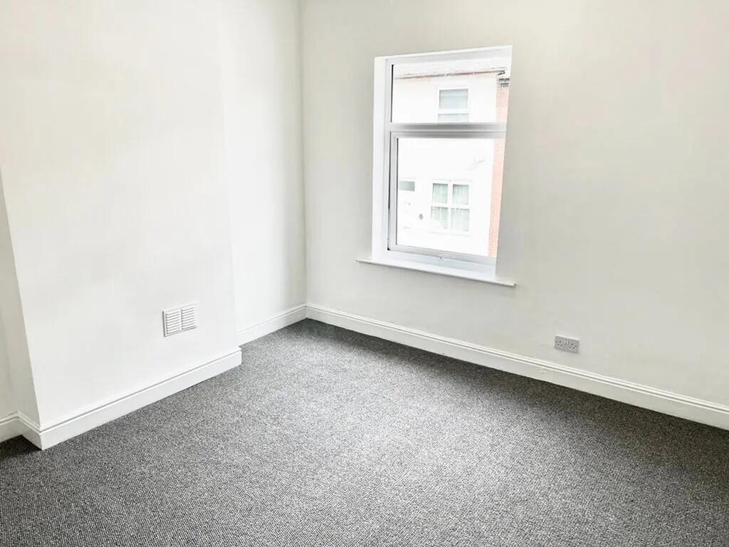
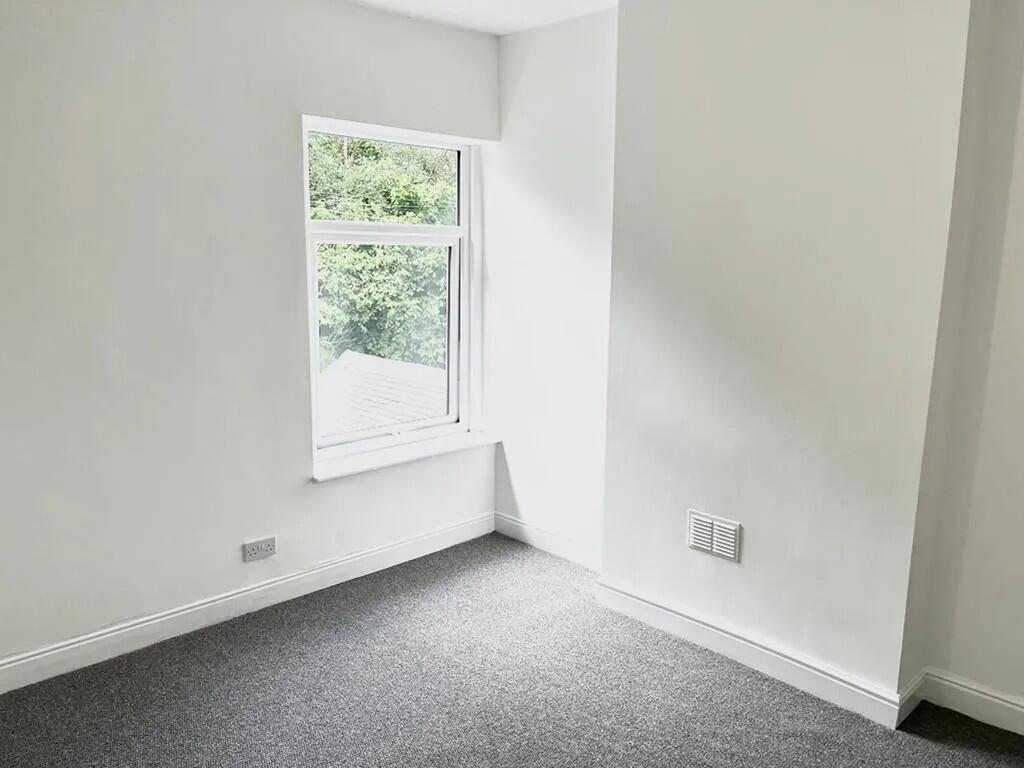
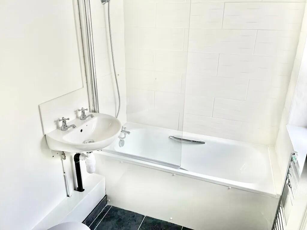
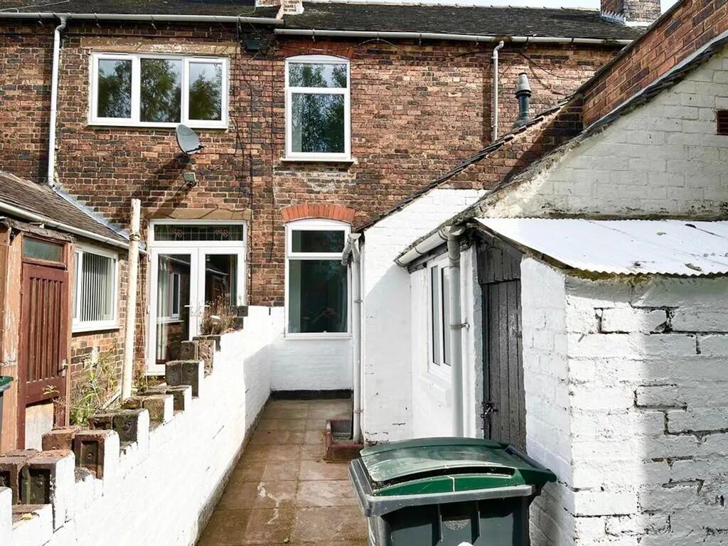
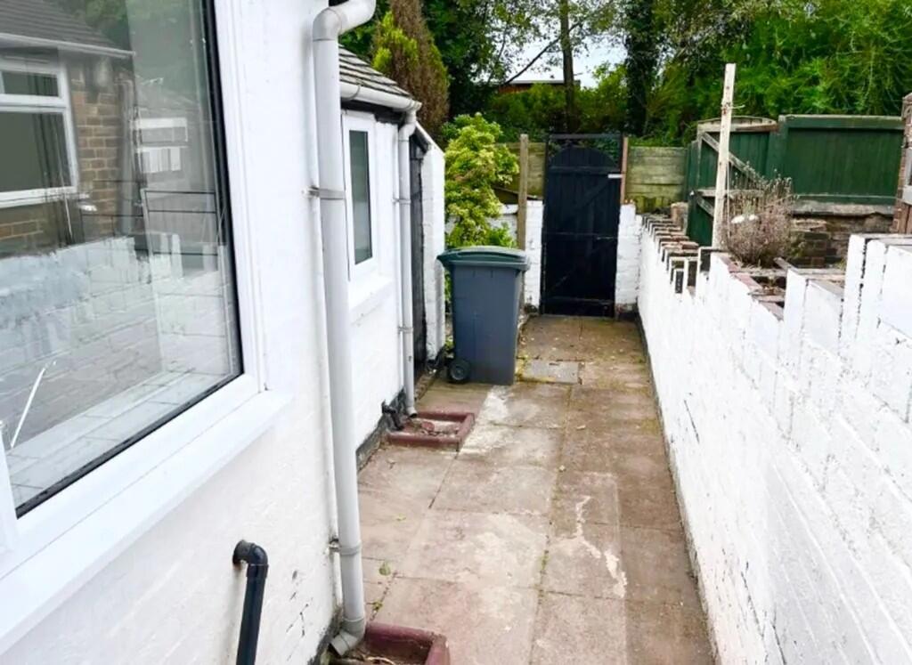
Property details
Floor area
69 m²
Council tax band
A
Deprivation
Decile 2 (4,290 of 33,755)
Street crime
429 incidents within 1 mile (Aug 2026)
Key features
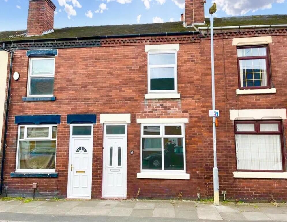
- Two-bedroom terraced house to let
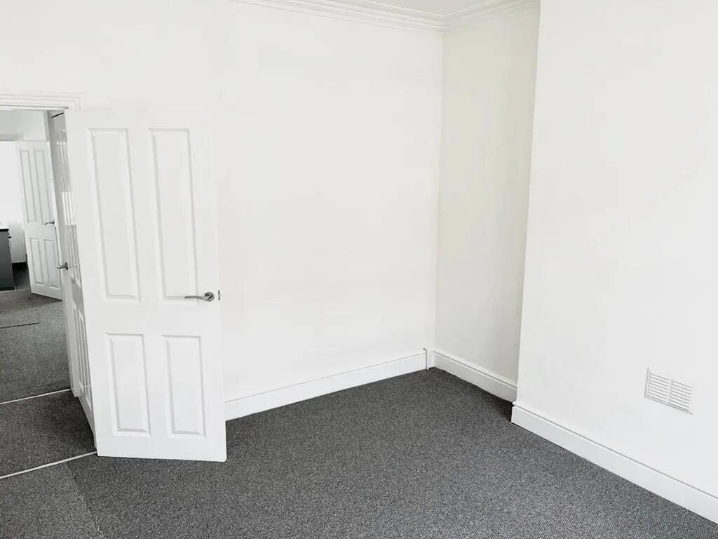
- Two separate ground-floor reception rooms
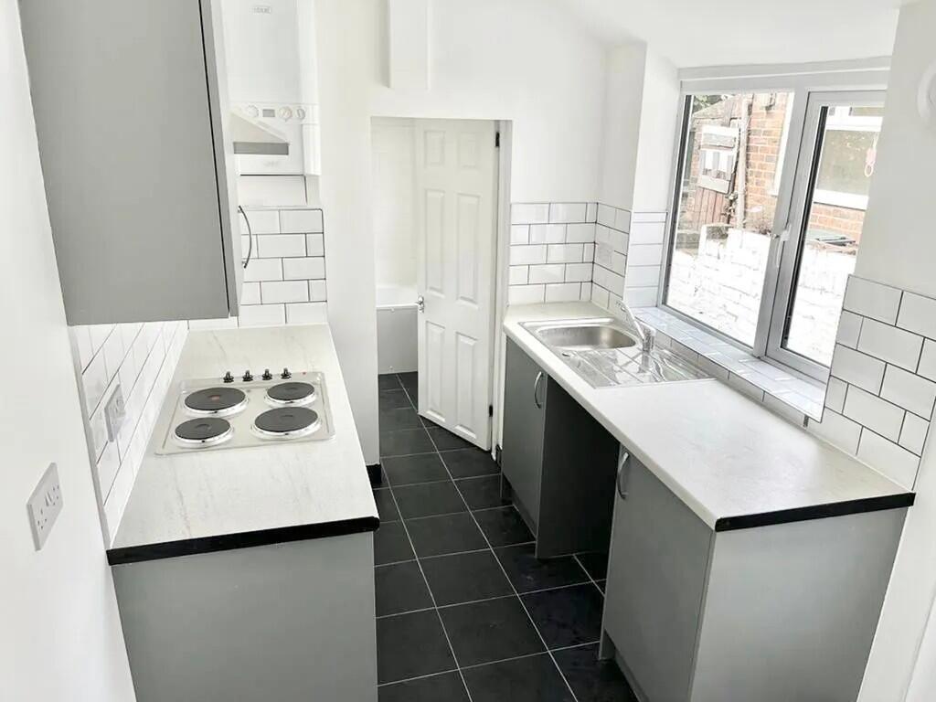
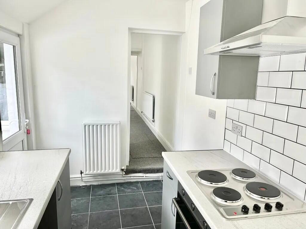
- Fitted kitchen and full bathroom
- Close to Stoke town centre
- Accessible to Hanley city amenities
- Near Stoke-on-Trent railway station
- Direct trains to Manchester and Birmingham
- Services to London Euston available
- EPC rating C
- Council Tax Band A
Additional details
- Garden
- Yes
Description
Situated off Oldfield Street in Stoke-on-Trent, the property is well placed for local shops, everyday services and cafés in Stoke town centre, which is within a short distance. Hanley, the main commercial centre for the city, is also accessible, providing a wider range of retail, leisure and dining options, along with cultural and entertainment venues.
Stoke-on-Trent railway station is the nearest mainline station, offering regular services to Manchester, Birmingham and London Euston. Typical journey times are around 45–60 minutes to Manchester, under an hour to Birmingham and around 1 hour 30 minutes to London, making this a viable base for commuters.
Local parks around Stoke and neighbouring areas provide green space for walking and recreation, while larger attractions such as Trentham Gardens are a short drive away. With an EPC rating of C and Council Tax Band A, this terraced house presents cost-conscious rental accommodation in a convenient urban setting.
IMPORTANT NOTE TO POTENTIAL PURCHASERS & TENANTS: We endeavour to make our particulars accurate and reliable, however, they do not constitute or form part of an offer or any contract and none is to be relied upon as statements of representation or fact. The services, systems and appliances listed in this specification have not been tested by us and no guarantee as to their operating ability or efficiency is given. All photographs and measurements have been taken as a guide only and are not precise. Floor plans where included are not to scale and accuracy is not guaranteed. If you require clarification or further information on any points, please contact us, especially if you are traveling some distance to view. POTENTIAL PURCHASERS: Fixtures and fittings other than those mentioned are to be agreed with the seller. POTENTIAL TENANTS: All properties are available for a minimum length of time, with the exception of short term accommodation. Please contact the branch for details. A security deposit of at least one month’s rent is required. Rent is to be paid one month in advance. It is the tenant’s responsibility to insure any personal possessions. Payment of all utilities including water rates or metered supply and Council Tax is the responsibility of the tenant in most cases.
HAN260277/2
Listed by
Hanley
National Home Move - LSL Franchise
Reference: 93224883
Flood risk
Zone: 1
Risk: Low
Job (default Low)
Registered land (INSPIRE)
This location falls inside an HM Land Registry INSPIRE registered freehold polygon.
Plot: ~70 m² (0.02 acres)
Source: HM Land Registry INSPIRE Index Polygons.
EPC Graphs
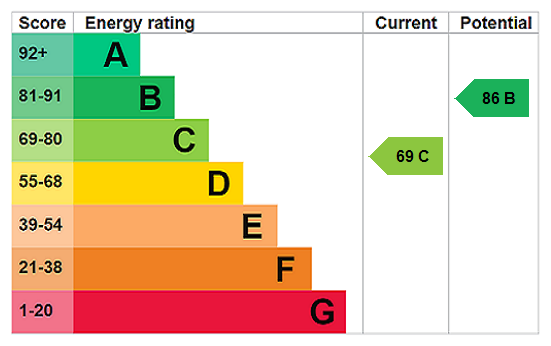
EPC Rating Graph
Company ownership
Registered legal owner is a company.
Company: KNIGHT STANLEY LTD (13755563)
Rental Range
Estimated market rent for Stoke-on-Trent. Low = conservative, Realistic = average, Optimistic = best case.
Based on Local Authority from postcode lookup → Stoke-on-Trent.
LHA (30th percentile) floor for Staffordshire North: £479/mo (Apr 2025 – Mar 2026)
Location
Nearby
Nearest stations, universities and amenities (distance from property).
| Type | Name | Distance |
|---|---|---|
| Shop | The Van Depot | 0.1 miles |
| Shop | UK Barbers | 0.1 miles |
| Bus stop | Unknown | 0.1 miles |
| Train station | Longton | 0.5 miles |
| Train station | Stoke-on-Trent | 1.7 miles |
| Hospital | Royal Stoke University Hospital | 2.8 miles |
| Hospital | North Staffordshire Hospital | 3.2 miles |
| University | Keele University | 5.2 miles |
| University | Buxton & Leek College | 9.4 miles |
Street-level crime
| Category | Count |
|---|---|
| Violence and sexual offences | 119 |
| Anti-social behaviour | 99 |
| Shoplifting | 67 |
| Criminal damage and arson | 42 |
| Public order | 31 |
| Burglary | 18 |
| Vehicle crime | 12 |
| Other theft | 10 |
| Other crime | 9 |
| Drugs | 6 |
| Possession of weapons | 6 |
| Robbery | 5 |
| Bicycle theft | 3 |
| Theft from the person | 2 |
| Total incidents | 429 |
Within 1 mile during Aug 2026. Source: data.police.uk (England & Wales).
Schools nearby
Nearest open schools with Ofsted ratings (England). Closed schools are not shown. Data from Get Information about Schools and Ofsted.
| Name | Type | Distance | Ofsted |
|---|---|---|---|
| Co-Op Academy Clarice Cliff | Primary | 0.4 miles | Requires improvement — 18 Jan 2024 |
| St Thomas More Catholic Academy | Secondary | 0.4 miles | Good — 8 Jun 2017 |
| Co-op Academy Glebe | Primary | 0.6 miles | Outstanding — 16 Jul 2024 |
| Glebedale School | Other | 0.7 miles | Good — 25 Jan 2023 |
| Gladstone Primary Academy | Primary | 0.8 miles | Good — 18 Apr 2013 |
Rental Comparables
Residential lets from OpenRent and Rightmove for the area (same bedroom count). Use to validate rent estimates. Student lets are excluded.
Average rent: £898/mo (49 listings)