FLAT A
4 OVERSTONE ROAD, LONDON, GREATER LONDON W6 0AA
£1,499 pcm
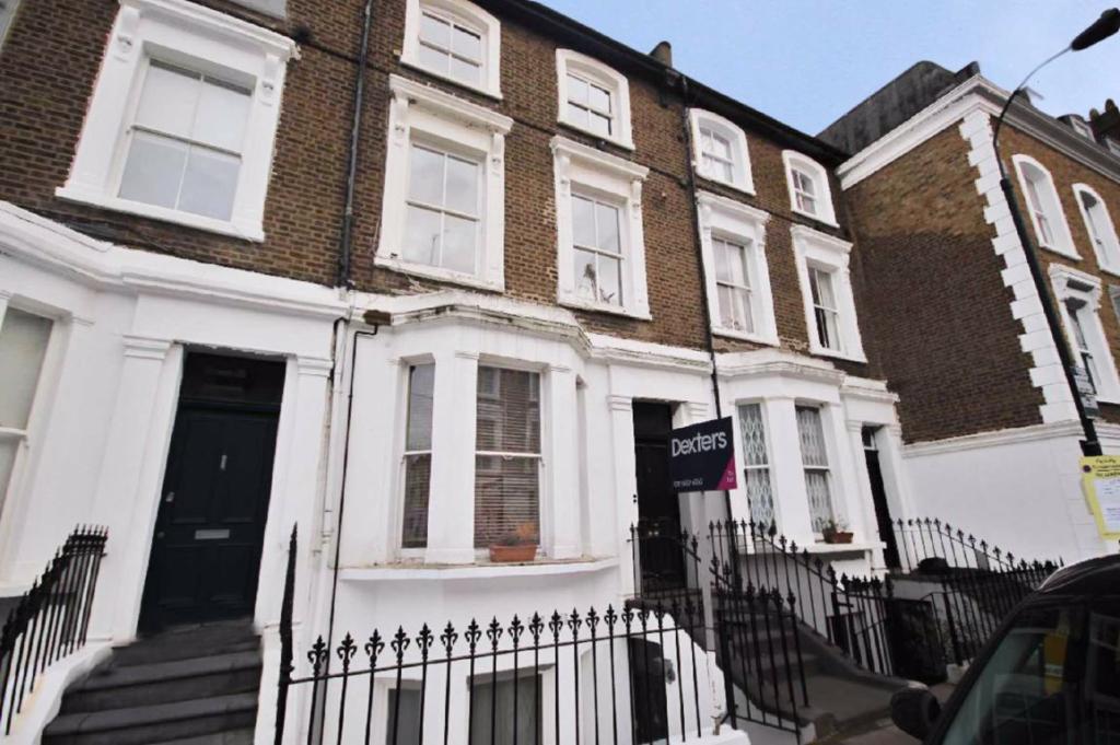
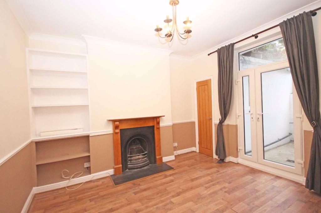
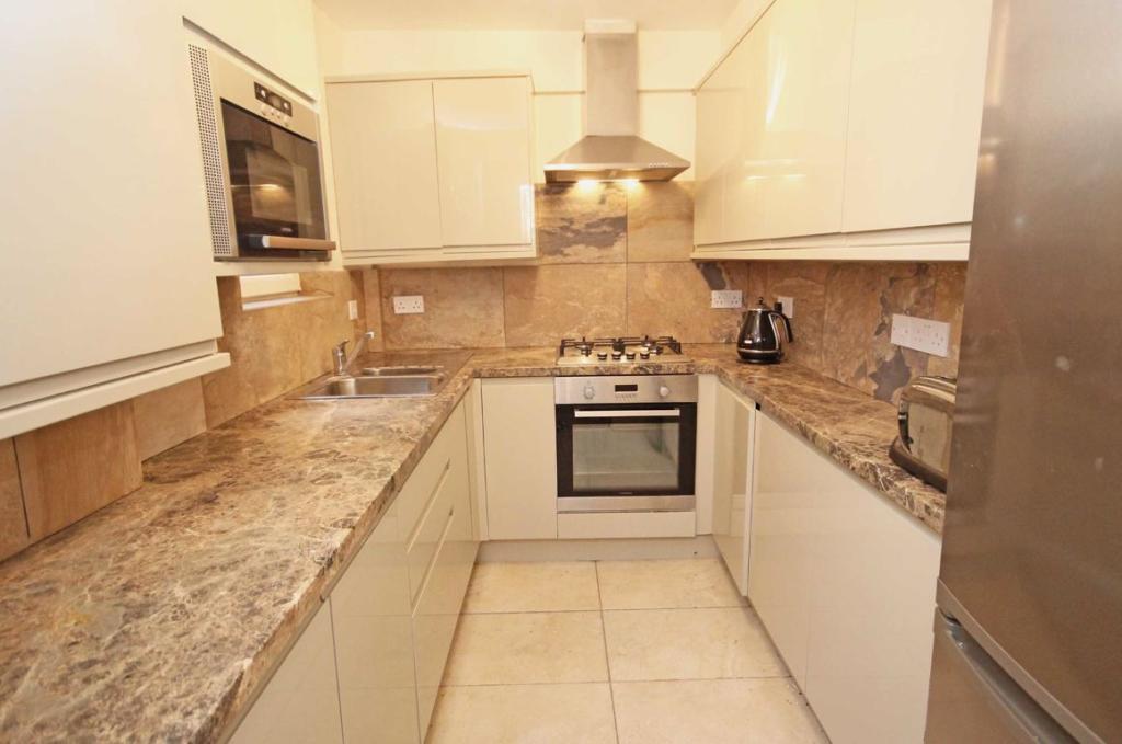
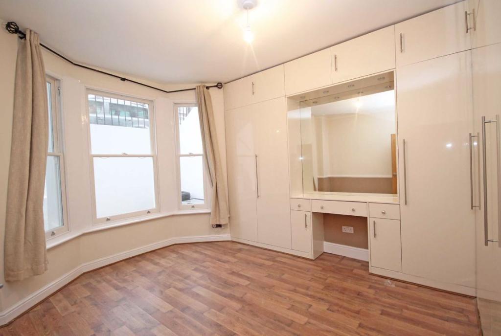
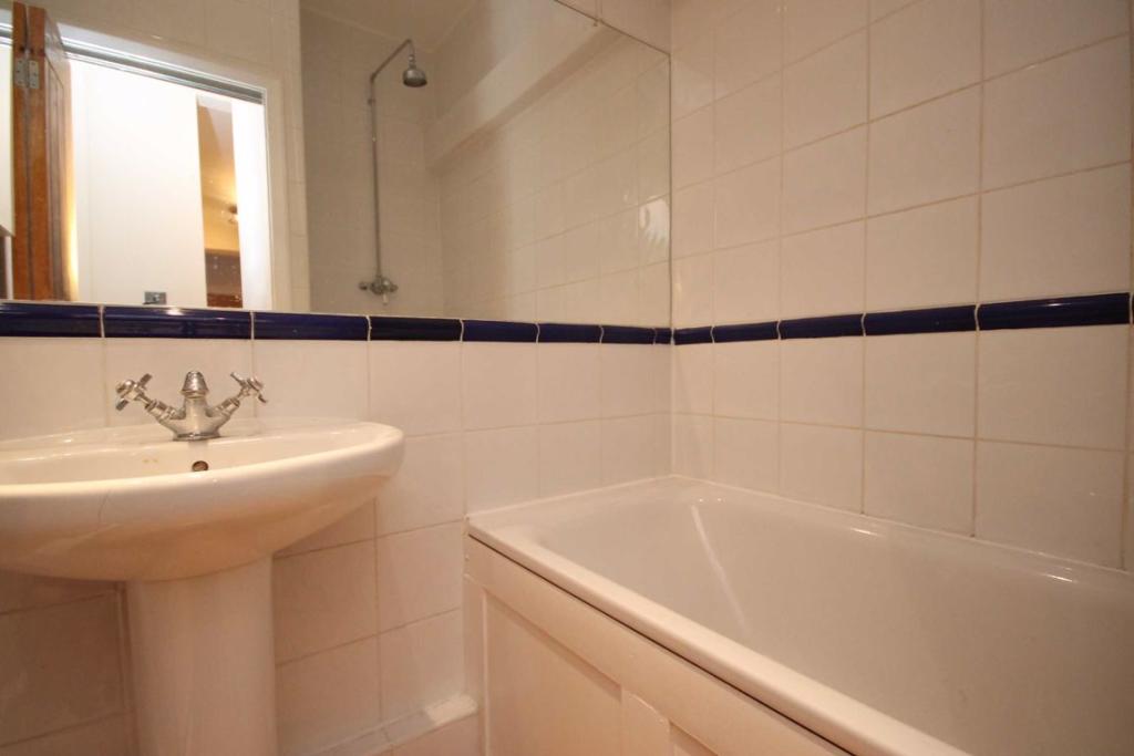
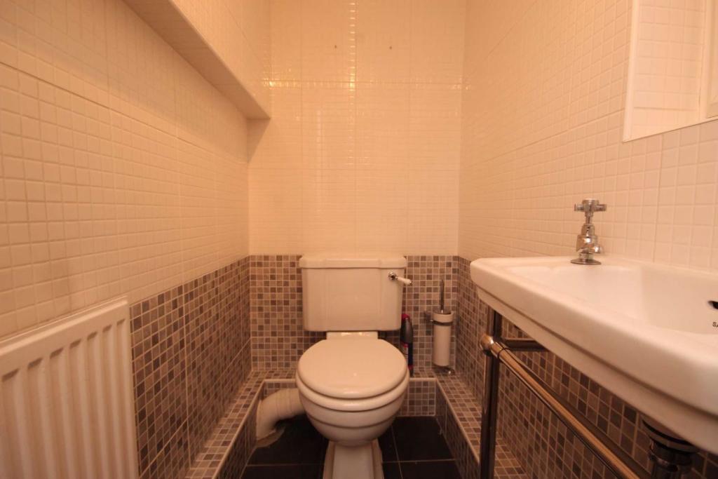
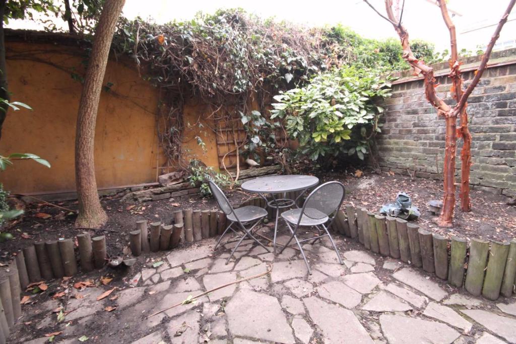
Photo 1 Photo 2 Photo 3 Photo 4 Photo 5 Photo 6 Photo 7
/ 7
Property details
Floor area
51 m²
Year built
England and Wales: before 1900
Deprivation
Decile 6 (19,355 of 33,755)
Street crime
1289 incidents within 1 mile (Apr 2026)
Key features
- One Double Bedroom
- Bathroom
- Private Garden
- Separate Utility
- Separate WC
- Close To Transport
Additional details
- Garden
- Yes
Description
This property is well located within less than 0.5m from public transport and local amenities.
Listed by
Hammersmith
Dexters
Reference: 80874088
EPC Rating & Upgrade Cost
Fetching EPC data… Refresh this page in a moment.
Flood risk
Zone: 1
Risk: Low
Job (default Low)
EPC Graphs
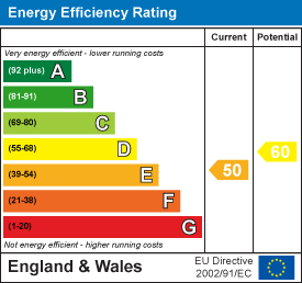
EPC 1
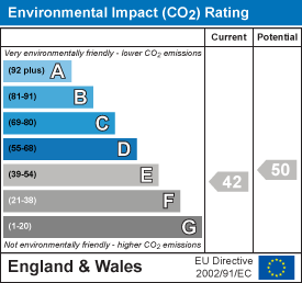
EPC 2
Rental Range
Estimated market rent for Hammersmith and Fulham. Low = conservative, Realistic = average, Optimistic = best case.
Based on Local Authority from postcode lookup → Hammersmith and Fulham.
LHA (30th percentile) floor for Inner West London: £1,346/mo (Apr 2025 – Mar 2026)
Location
Nearby
Nearest stations, universities and amenities (distance from property).
| Type | Name | Distance |
|---|---|---|
| Bus stop | Glenthorne House | 0.0 miles |
| Shop | Esmond Garage | 0.1 miles |
| Shop | Smile Direct Club | 0.1 miles |
| Train station | Hammersmith (Circle and Hammersmith & City lines) | 0.1 miles |
| Bus stop | Iffley Road | 0.1 miles |
| Train station | Hammersmith (District and Piccadilly lines) | 0.3 miles |
| University | Scale Space White City | 1.4 miles |
| University | BIMM Institute London | 1.7 miles |
| Hospital | Bridge Lane Health Centre | 3.0 miles |
| Hospital | The Portland Hospital | 4.1 miles |
Street-level crime
| Category | Count |
|---|---|
| Violence and sexual offences | 299 |
| Anti-social behaviour | 295 |
| Shoplifting | 168 |
| Other theft | 98 |
| Vehicle crime | 97 |
| Public order | 90 |
| Drugs | 61 |
| Criminal damage and arson | 43 |
| Burglary | 36 |
| Theft from the person | 33 |
| Bicycle theft | 23 |
| Robbery | 22 |
| Other crime | 16 |
| Possession of weapons | 8 |
| Total incidents | 1289 |
Within 1 mile during Apr 2026. Source: data.police.uk (England & Wales).
Schools nearby
Nearest open schools with Ofsted ratings (England). Closed schools are not shown. Data from Get Information about Schools and Ofsted.
| Name | Type | Distance | Ofsted |
|---|---|---|---|
| The Godolphin and Latymer School | Other | 0.1 miles | — (No rating) |
| West London Free School Primary | Primary | 0.2 miles | Outstanding — 18 Jun 2015 |
| Earl's Court Free School Primary | Primary | 0.2 miles | Outstanding — 7 Sep 2017 |
| Sacred Heart High School | Secondary | 0.2 miles | Outstanding — 31 Oct 2017 |
| Bute House Preparatory School for Girls | Other | 0.3 miles | — (No rating) |
Rental Comparables
Residential lets from OpenRent and Rightmove for the area (same bedroom count). Use to validate rent estimates. Student lets are excluded.
| Title | Rent | Beds | Distance | As seen on |
|---|---|---|---|---|
| 1 Bed Flat, Verulam House, W6 | £1,750/mo | 1 | 0.47 miles | OpenRent |
Average rent: £1,750/mo (1 listing)