34 ST ANNES COURT
LIVERPOOL, MERSEYSIDE L3 3JP
£600 pcm
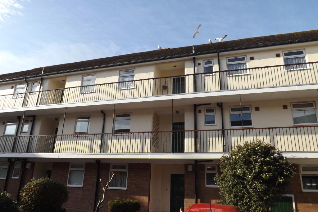
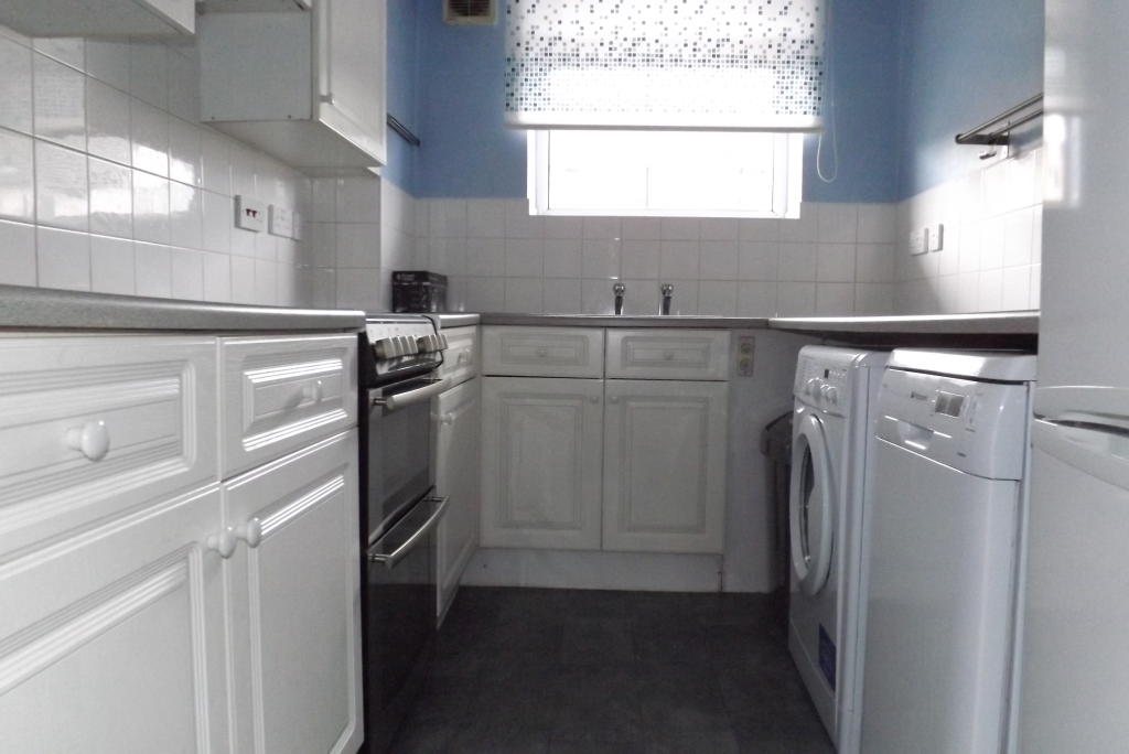
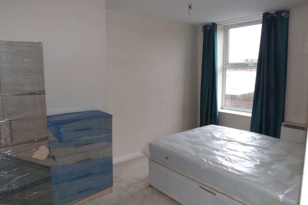
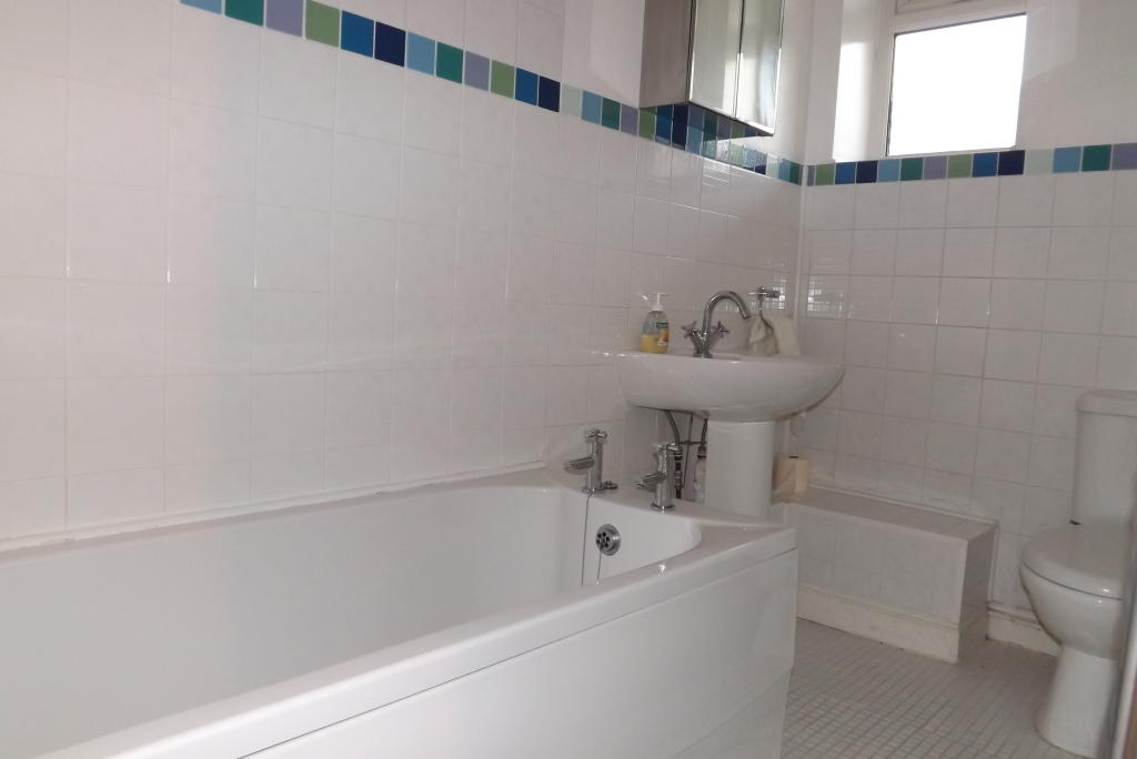
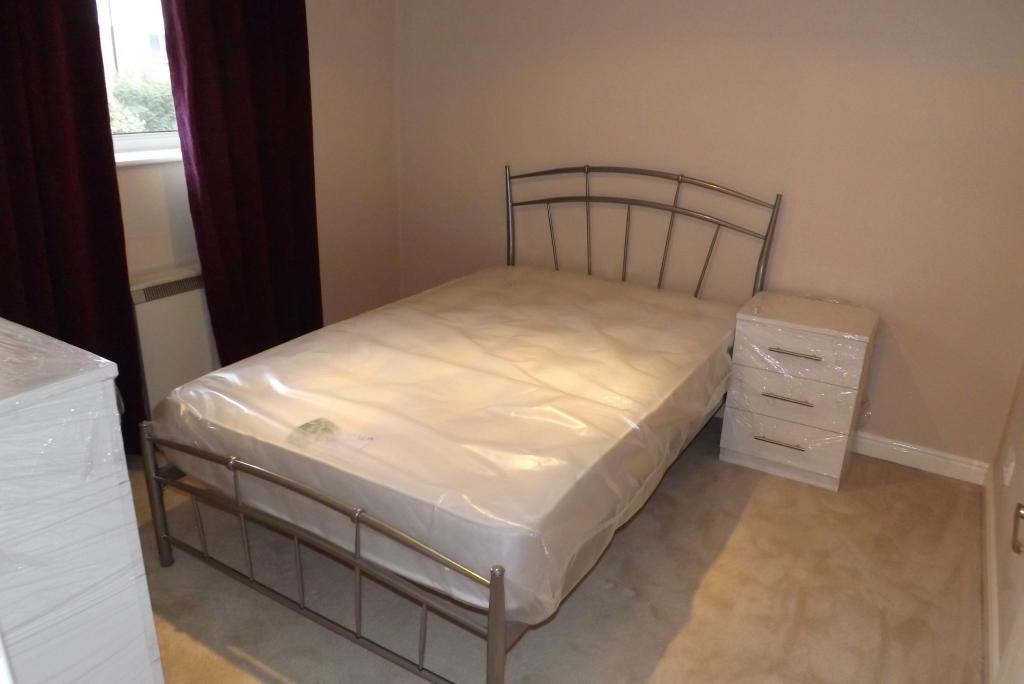
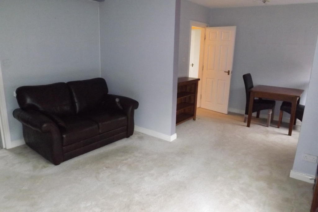
Photo 1 Photo 2 Photo 3 Photo 4 Photo 5 Photo 6
/ 6
Property details
EPC rating
D
Deprivation
Decile 2 (4,846 of 33,755)
Street crime
1700 incidents within 1 mile (Apr 2026)
Key features
- City centre apartment
- 10-15 minute walk to Lime Street Train Station
- Kitchen with appliances
- Washer/dryer, Fridge/freezer & Dishwasher
- Modern family bathroom
- Lounge with dining area
- Double master bedroom
- Second single bedroom
- Intercom access
- Secure gated parking
Additional details
- Parking
- Yes
Description
This lovely apartment is situated on the first floor of a purpose build development and benefits from gated parking. This property is available on an unfurnished basis. Please call today to book your viewing!...
- Private, gated parking included
- First floor 2 bedroom apartment
- Spacious lounge with dining area
- Fitted kitchen with appliances
- Storage cupboards in hallway
- Family bathroom with shower over bath
- Double master bedroom
Listed by
Liverpool
Countrywide UK Lettings - Connells
Reference: 60082882
EPC Rating & Upgrade Cost
Current rating: D
Potential rating: C
Inspection date: 23/08/2021
Expiry date: 22/08/2031
Est. upgrade cost to C: £15,500
Recommendations
- 50 mm internal or external wall insulation (£4,000 - £14,000)
- Floor insulation (solid floor) (£4,000 - £6,000)
- High heat retention storage heaters and dual immersion cylinder (£1,200 - £1,800)
Flood risk
Zone: 1
Risk: Low
Job (default Low)
Rental Range
Estimated market rent for Liverpool. Low = conservative, Realistic = average, Optimistic = best case.
Based on Local Authority from postcode lookup → Liverpool.
LHA (30th percentile) floor for Greater Liverpool: £593/mo (Apr 2025 – Mar 2026)
Location
Nearby
Nearest stations, universities and amenities (distance from property).
| Type | Name | Distance |
|---|---|---|
| Bus stop | ST ANNE STREET/JUVENAL STREET | 0.1 miles |
| Bus stop | ST ANNE STREET/POLICE STATION | 0.1 miles |
| Shop | Weatherspoons | 0.2 miles |
| Shop | Echo Shop | 0.3 miles |
| Train station | Liverpool Lime Street | 0.5 miles |
| Train station | Moorfields | 0.6 miles |
| University | University of Liverpool | 0.7 miles |
| Hospital | Greenbank Drive Surgery | 2.6 miles |
| Hospital | Rathbone Hospital | 2.7 miles |
Street-level crime
| Category | Count |
|---|---|
| Violence and sexual offences | 508 |
| Drugs | 305 |
| Shoplifting | 201 |
| Public order | 170 |
| Anti-social behaviour | 158 |
| Other theft | 93 |
| Criminal damage and arson | 82 |
| Burglary | 48 |
| Other crime | 37 |
| Vehicle crime | 35 |
| Theft from the person | 25 |
| Possession of weapons | 17 |
| Robbery | 13 |
| Bicycle theft | 8 |
| Total incidents | 1700 |
Within 1 mile during Apr 2026. Source: data.police.uk (England & Wales).
Schools nearby
Nearest open schools with Ofsted ratings (England). Closed schools are not shown. Data from Get Information about Schools and Ofsted.
| Name | Type | Distance | Ofsted |
|---|---|---|---|
| Millstead School | Other | 0.3 miles | Outstanding — 28 Mar 2013 |
| Faith Primary Academy | Primary | 0.3 miles | Good — 14 Jan 2019 |
| Holy Cross Catholic Primary School | Primary | 0.3 miles | Good — 17 Apr 2018 |
| The Trinity Catholic Academy | Primary | 0.5 miles | Inadequate — 13 May 2019 |
| Everton Nursery School and Family Centre | Nursery | 0.5 miles | Outstanding — 17 Jun 2014 |
Rental Comparables
Rental listings exist nearby, but none matched the 2-bedroom count for this property.