56 ELM TREE CLOSE
STALYBRIDGE, STALYBRIDGE, GREATER MANCHESTER SK15 2HF
£525 pcm
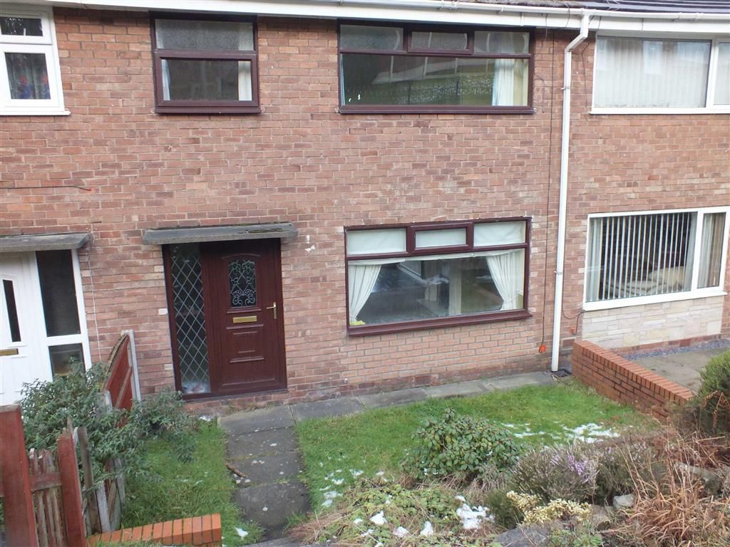
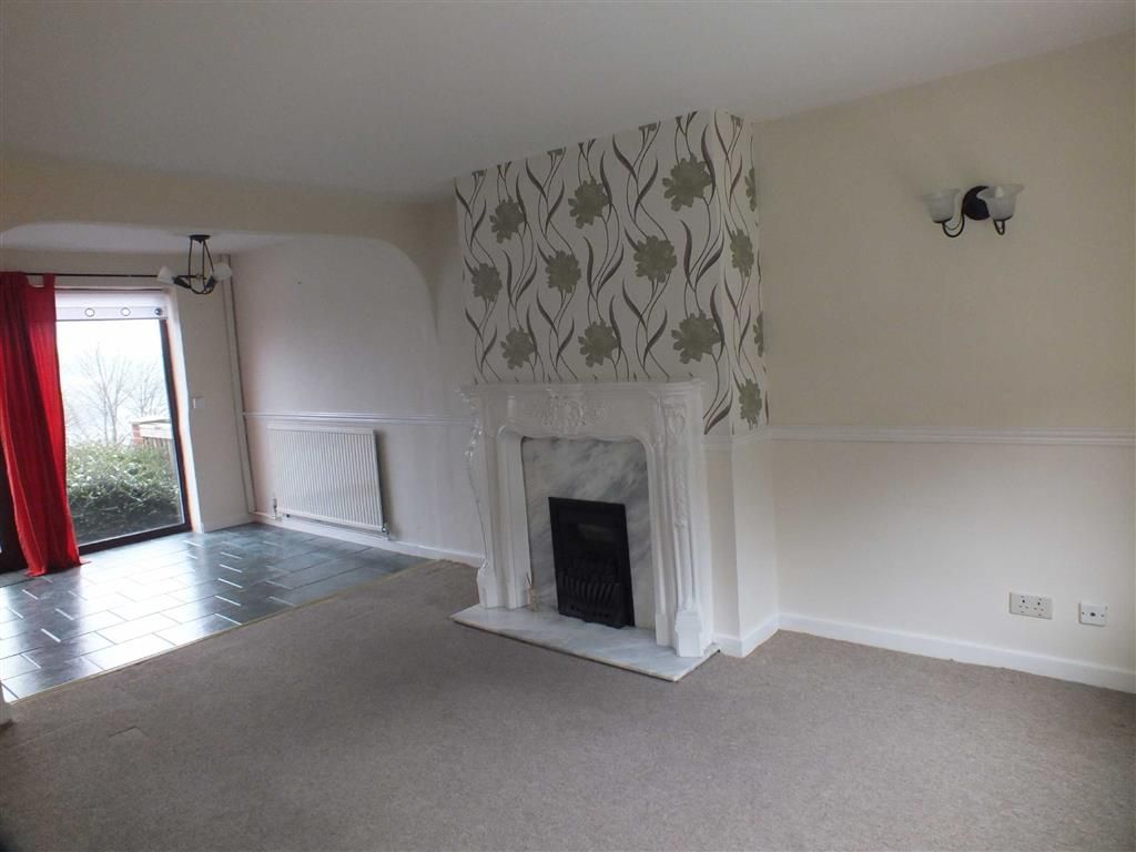
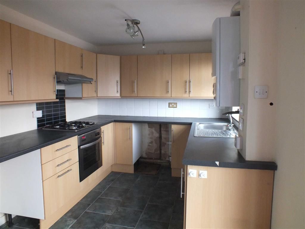
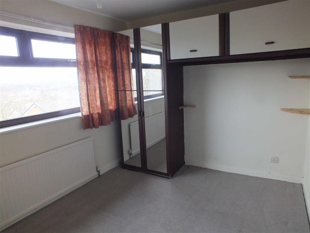
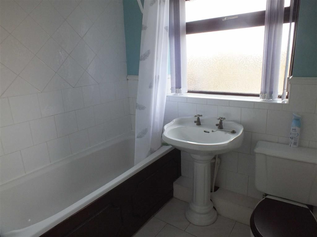
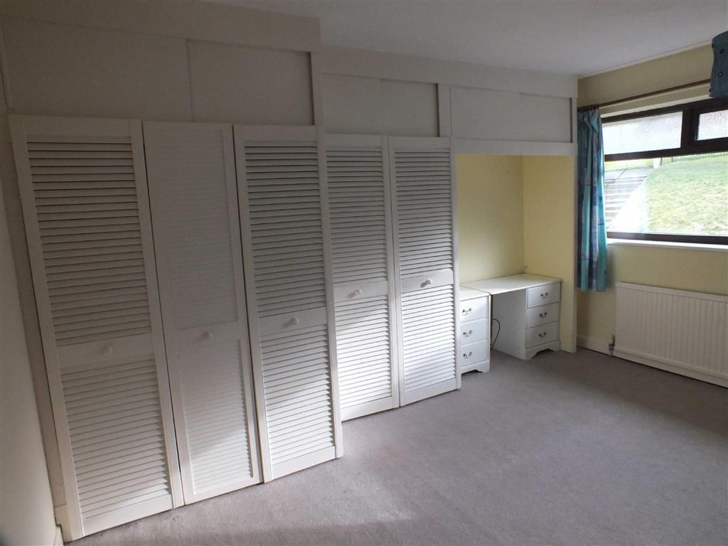
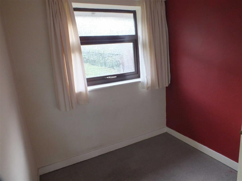
Photo 1 Photo 2 Photo 3 Photo 4 Photo 5 Photo 6 Photo 7 Photo 8
/ 8
Property details
Floor area
75 m²
Deprivation
Decile 10 (31,312 of 33,755)
Street crime
0 incidents within 1 mile (Apr 2026)
Key features
- Modern Town House
- Gas Central Heating
- Upvc Double Glazed
- Three Bedrooms
- Bathroom /W.C. /Shower
- Gardens
- Garage
- Council Tax Band B
Additional details
- Parking
- Yes
- Garden
- Yes
Description
You may download, store and use the material for your own personal use and research. You may not republish, retransmit, redistribute or otherwise make the material available to any party or make the same available on any website, online service or bulletin board of your own or of any other party or make the same available in hard copy or in any other media without the website owner's express prior written consent. The website owner's copyright must remain on all reproductions of material taken from this website.
Listed by
Stalybridge
W C Dawson & Son Ltd
Reference: 40107166
EPC Rating & Upgrade Cost
Fetching EPC data… Refresh this page in a moment.
Flood risk
Zone: 1
Risk: Low
Job (default Low)
EPC Graphs
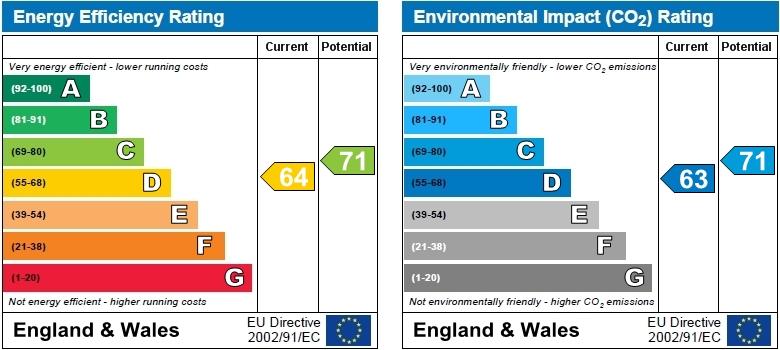
EPC 1
Rental Range
Estimated market rent for Tameside. Low = conservative, Realistic = average, Optimistic = best case.
Based on Local Authority from postcode lookup → Tameside.
LHA (30th percentile) floor for Oldham & Rochdale: £693/mo (Apr 2025 – Mar 2026)
Location
Nearby
Nearest stations, universities and amenities (distance from property).
| Type | Name | Distance |
|---|---|---|
| Bus stop | High Street/The Pineapple | 0.3 miles |
| Bus stop | High Street/Forester Drive | 0.3 miles |
| Shop | Finlays News | 0.3 miles |
| Shop | Unknown | 0.3 miles |
| Train station | Stalybridge | 0.6 miles |
| Hospital | Tameside General Hospital | 1.3 miles |
| Train station | Flowery Field | 1.5 miles |
| Hospital | Park Lodge Independent Hospital | 4.3 miles |
| University | UK Management College | 4.5 miles |
| University | University of Manchester Fallowfield Campus | 6.9 miles |
Street-level crime
| Category | Count |
|---|---|
| Total incidents | 0 |
Within 1 mile during Apr 2026. Source: data.police.uk (England & Wales).
Schools nearby
Nearest open schools with Ofsted ratings (England). Closed schools are not shown. Data from Get Information about Schools and Ofsted.
| Name | Type | Distance | Ofsted |
|---|---|---|---|
| St. Peter's Catholic Primary School, a Voluntary Academy | Primary | 0.2 miles | Good — 24 Jan 2024 |
| Gorse Hall Primary and Nursery School | Primary | 0.3 miles | Good — 17 Sep 2023 |
| Trinity School | Other | 0.4 miles | — (No rating) |
| Broadbent Fold Primary School and Nursery | Primary | 0.4 miles | Good — 27 Oct 2012 |
| St Paul's CofE Primary School, Stalybridge | Primary | 0.7 miles | Good — 27 Feb 2020 |
Rental Comparables
Residential lets from OpenRent and Rightmove for the area (same bedroom count). Use to validate rent estimates. Student lets are excluded.
| Title | Rent | Beds | Distance | As seen on |
|---|---|---|---|---|
| 3 Bed Semi-Detached House, Forester Drive, SK15 | £1,250/mo | 3 | 0.16 miles | OpenRent |
Average rent: £1,250/mo (1 listing)