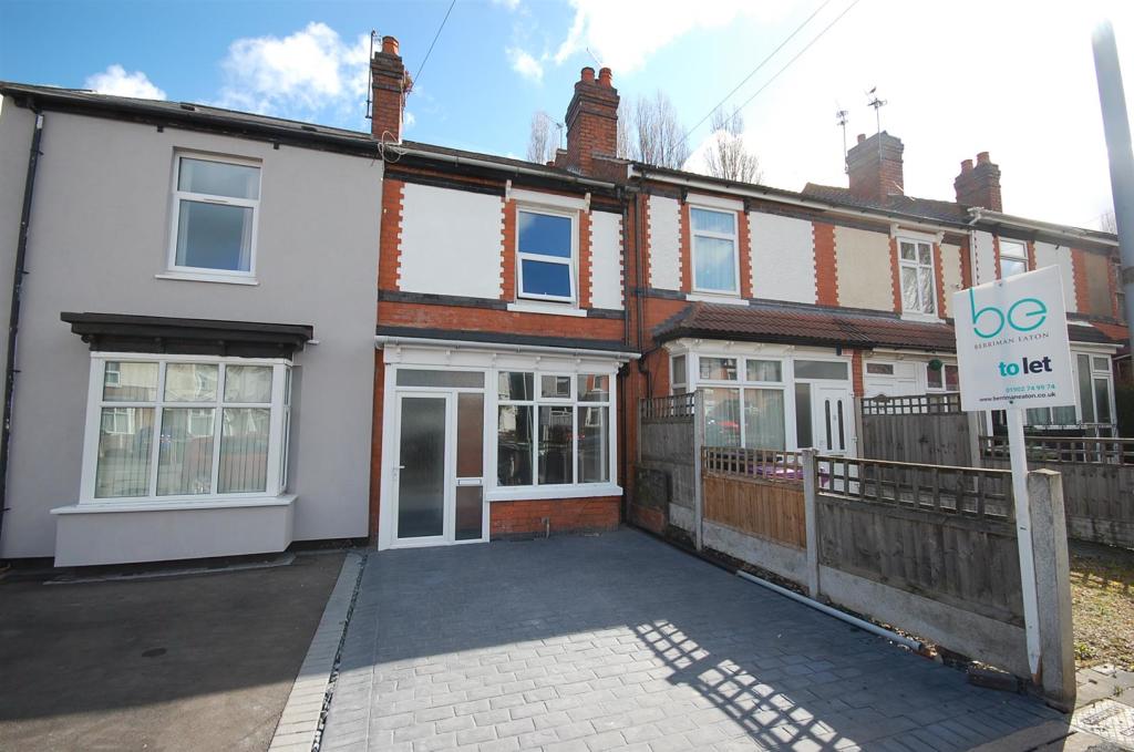
43 JEFFCOCK ROAD
WOLVERHAMPTON, WEST MIDLANDS WV3 7AG
£795 pcm
Property details
Floor area
76 m²
EPC rating
D
Year built
England and Wales: 1900-1929
Deprivation
Decile 2 (3,579 of 33,755)
Street crime
302 incidents within 1 mile (Apr 2026)
Additional details
- Parking
- Yes
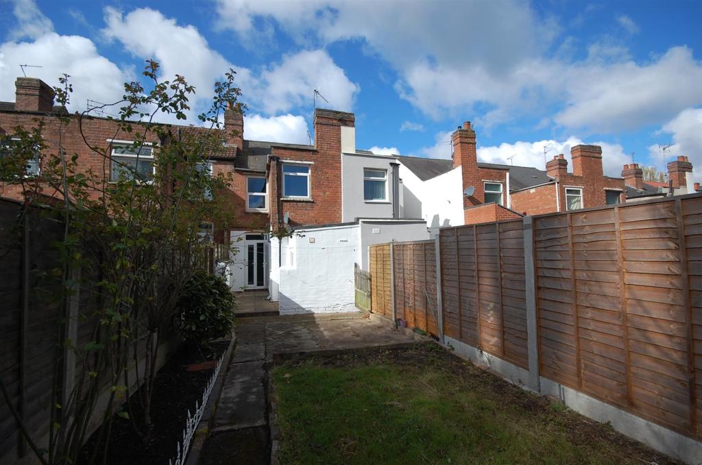
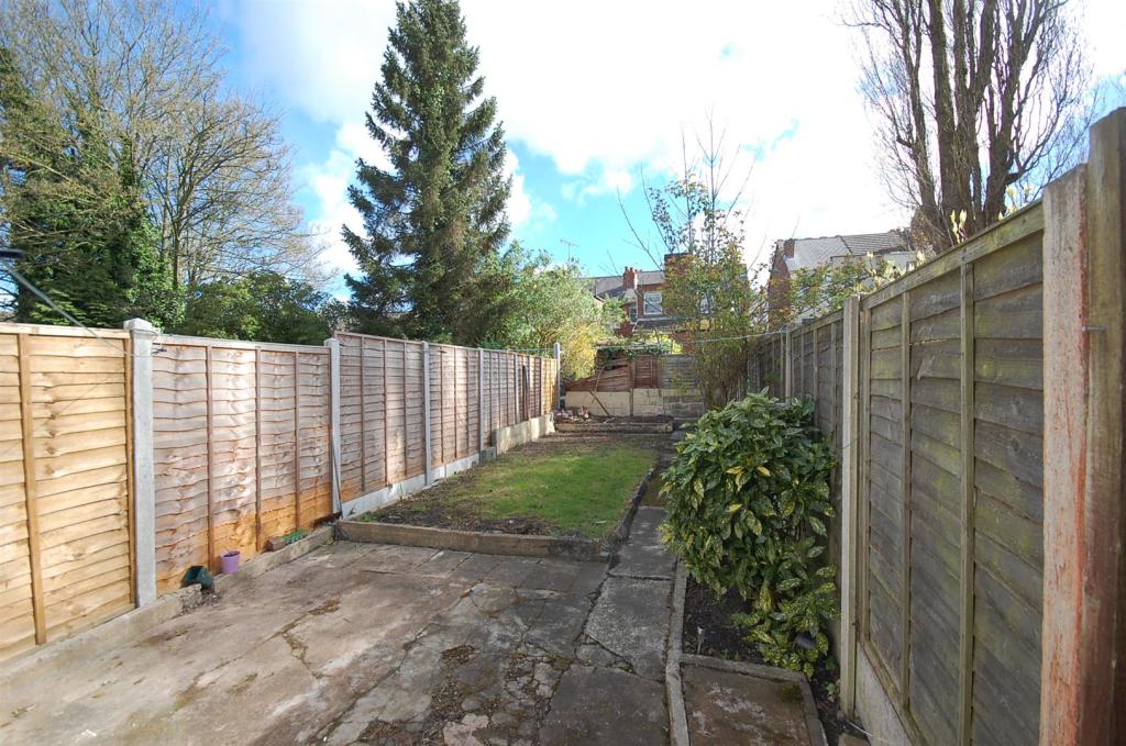
- Garden
- Yes
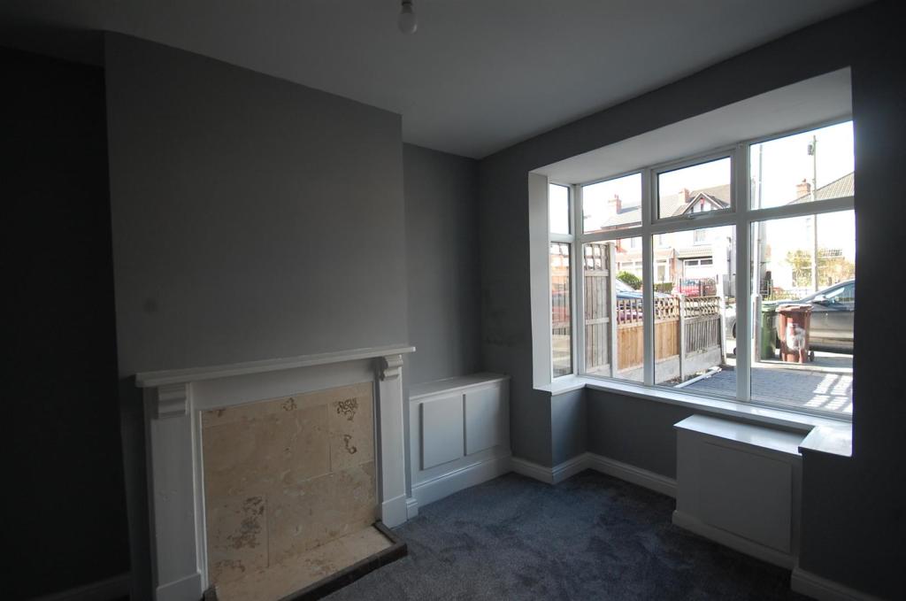
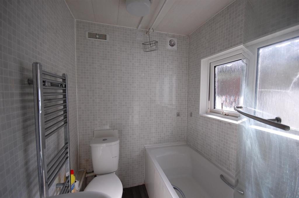
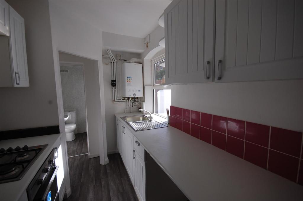
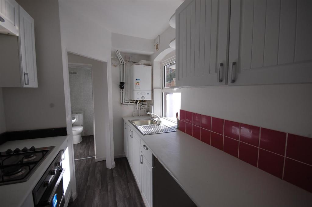
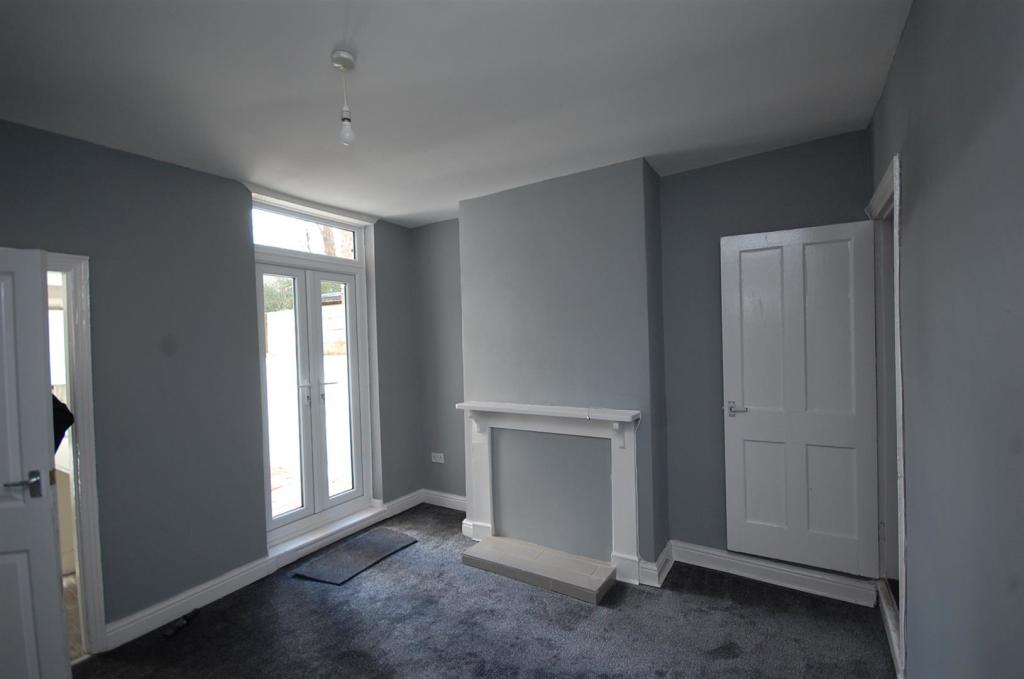
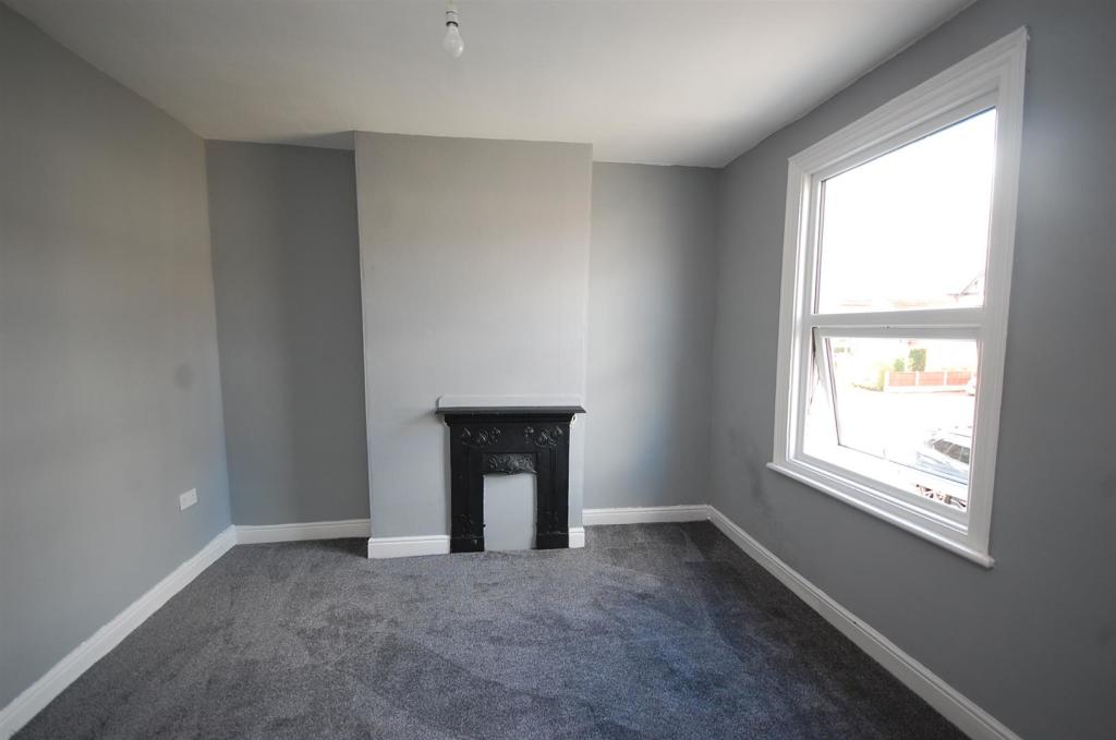
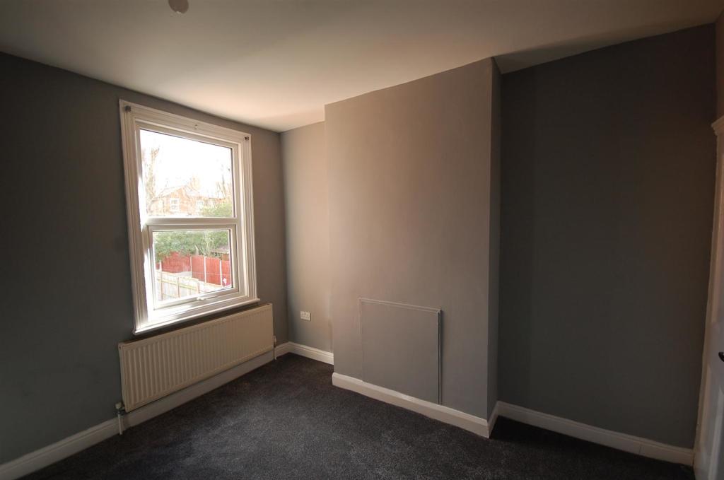
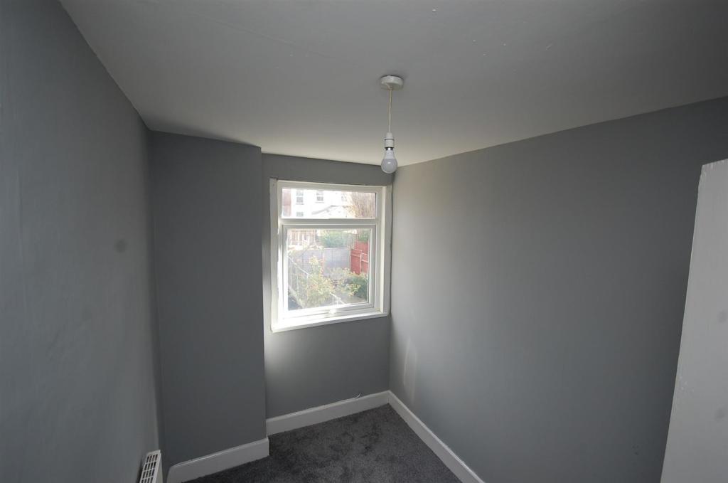
Description
Listed by
Tettenhall
Berriman Eaton
Reference: 122031107
EPC Rating & Upgrade Cost
Current rating: D
Potential rating: C
Inspection date: 10/02/2020
Expiry date: 09/02/2030
Recommendations
- 50 mm internal or external wall insulation (14,000)
- Floor insulation (suspended floor) (1,200)
- Solar water heating (6,000)
- Solar photovoltaic panels, 2.5 kWp (5,500)
Flood risk
Zone: 2
Risk: In flood risk area
Environment Agency Flood Risk Areas (APSFR)
Rental Range
Estimated market rent for Wolverhampton. Low = conservative, Realistic = average, Optimistic = best case.
Based on Local Authority from postcode lookup → Wolverhampton.
LHA (30th percentile) floor for Black Country: £748/mo (Apr 2025 – Mar 2026)
Location
Nearby
Nearest stations, universities and amenities (distance from property).
| Type | Name | Distance |
|---|---|---|
| Shop | Laundrette | 0.1 miles |
| Shop | Jeffock News | 0.1 miles |
| Bus stop | Rayleigh Rd / Bamford Rd | 0.1 miles |
| Hospital | West Park Hospital | 0.8 miles |
| Hospital | Compton Hospice | 1.2 miles |
| University | University of Wolverhampton Wulfruna Campus | 1.2 miles |
| University | University of Wolverhampton | 1.3 miles |
| Train station | Wolverhampton | 1.4 miles |
| Train station | Coseley | 3.4 miles |
Street-level crime
| Category | Count |
|---|---|
| Violence and sexual offences | 124 |
| Shoplifting | 44 |
| Criminal damage and arson | 30 |
| Vehicle crime | 19 |
| Other theft | 17 |
| Burglary | 15 |
| Public order | 12 |
| Drugs | 11 |
| Anti-social behaviour | 8 |
| Possession of weapons | 7 |
| Robbery | 7 |
| Other crime | 5 |
| Theft from the person | 2 |
| Bicycle theft | 1 |
| Total incidents | 302 |
Within 1 mile during Apr 2026. Source: data.police.uk (England & Wales).
Schools nearby
Nearest open schools with Ofsted ratings (England). Closed schools are not shown. Data from Get Information about Schools and Ofsted.
| Name | Type | Distance | Ofsted |
|---|---|---|---|
| Bantock Primary School | Primary | 0.2 miles | Good — 15 Jan 2023 |
| Merridale Primary School | Primary | 0.3 miles | Good — 3 Apr 2014 |
| Nishkam Primary School Wolverhampton | Primary | 0.5 miles | Good — 8 Mar 2020 |
| The Royal School, Wolverhampton | Other | 0.5 miles | Good — 18 Sep 2019 |
| Woodfield Primary School | Primary | 0.6 miles | Outstanding — 17 Mar 2024 |
Rental Comparables
Rental comparables are temporarily unavailable while listing-site fetches are paused. Try again later.