St5 9Et
ST5 9ET
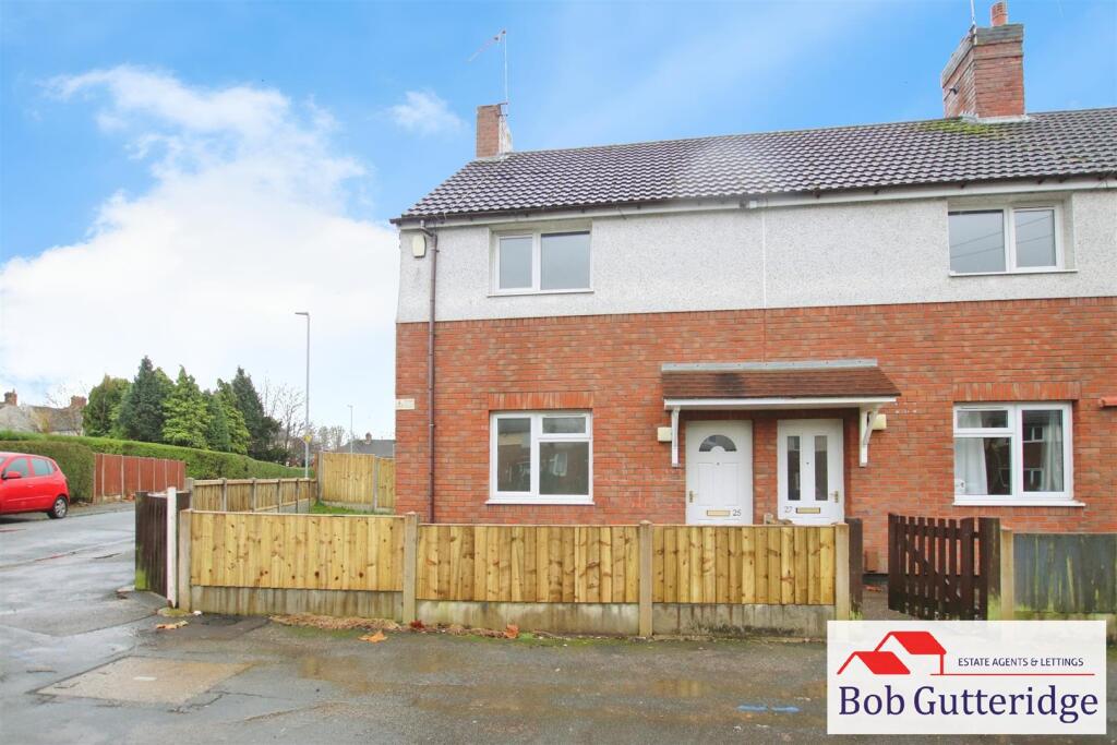
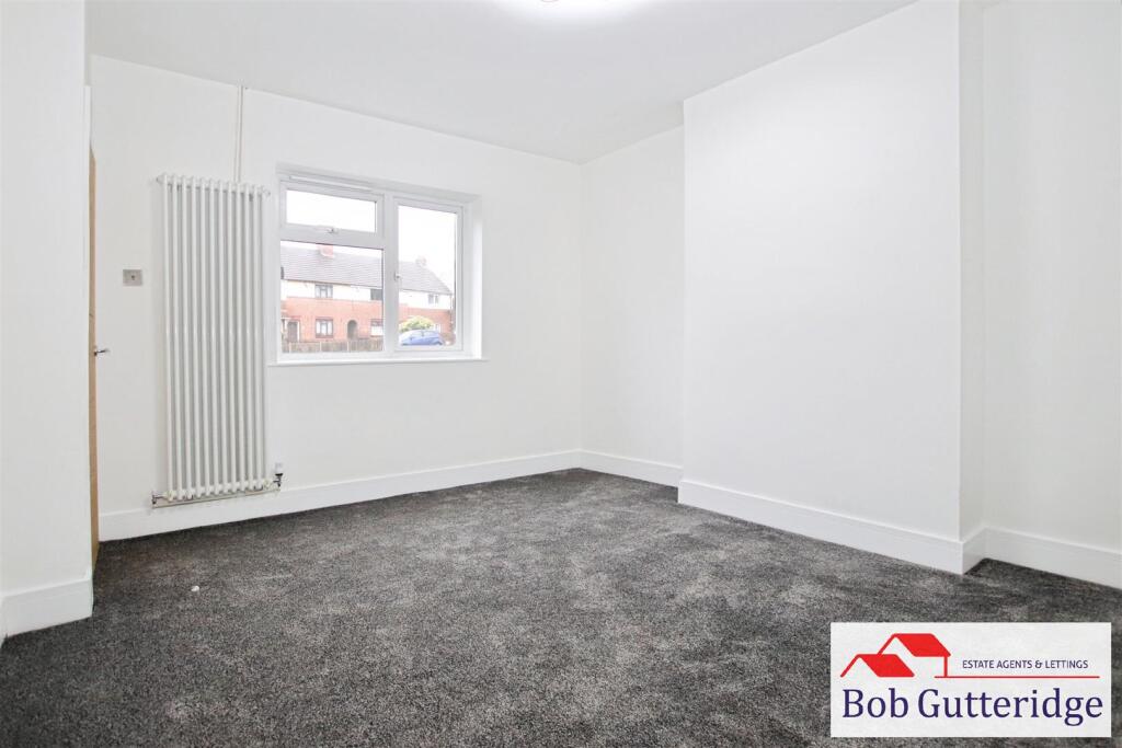
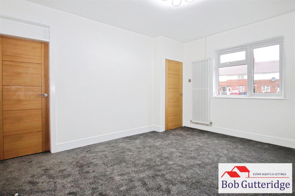
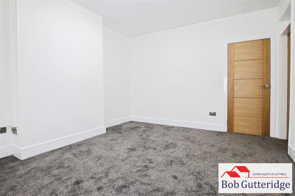
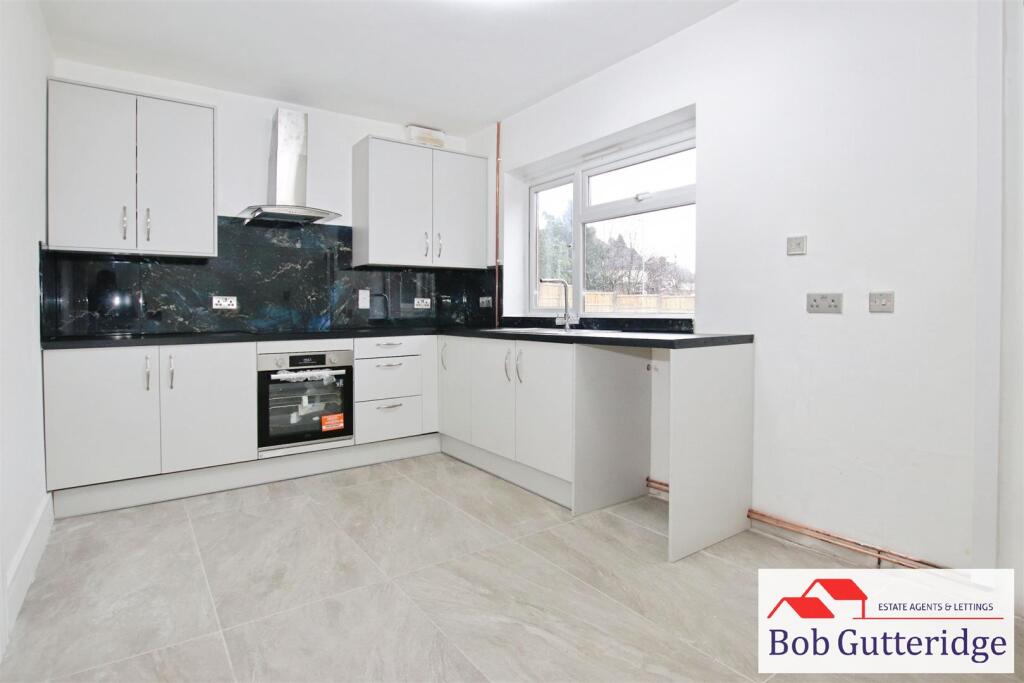
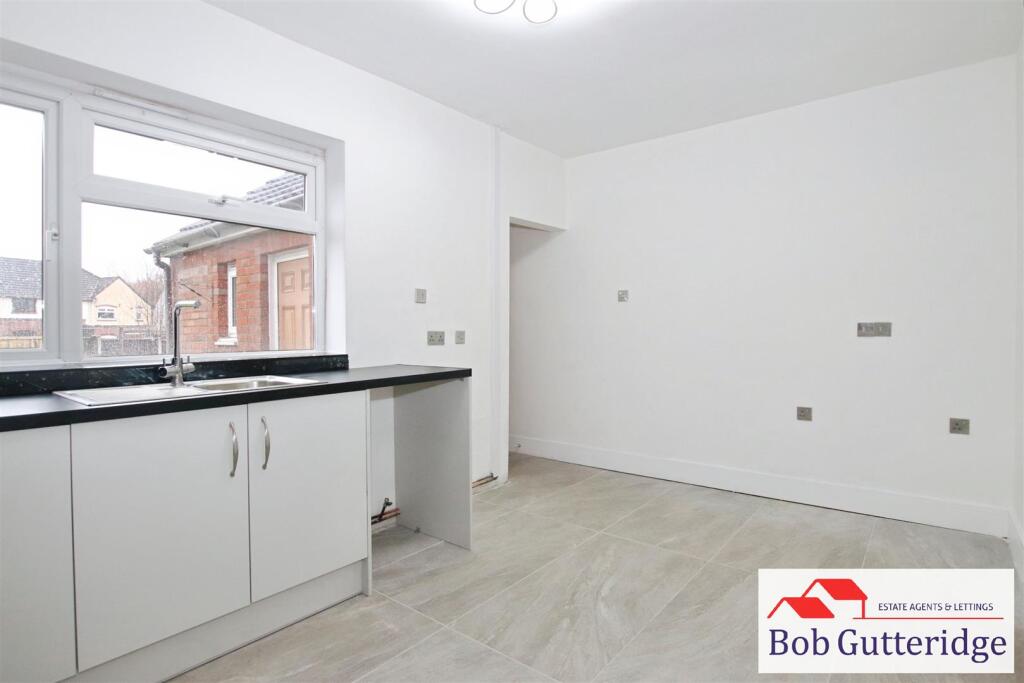
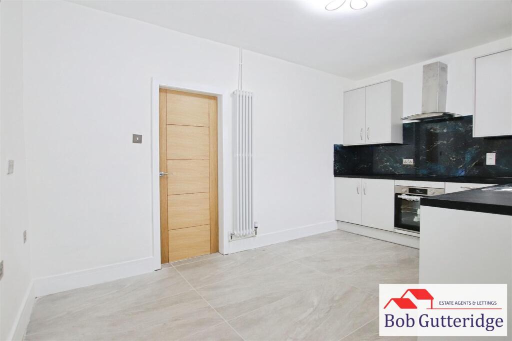
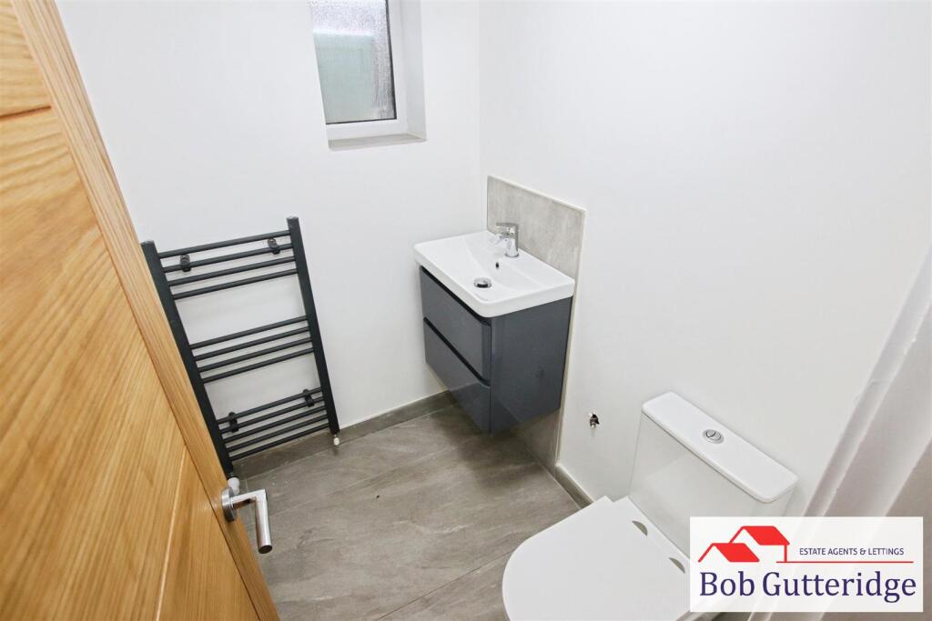
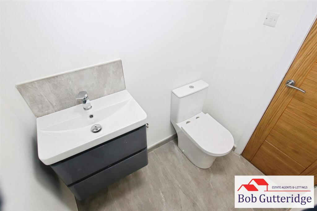
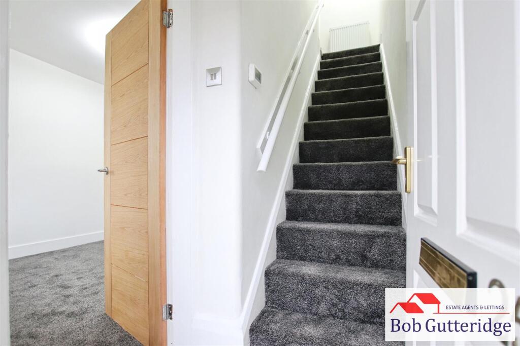
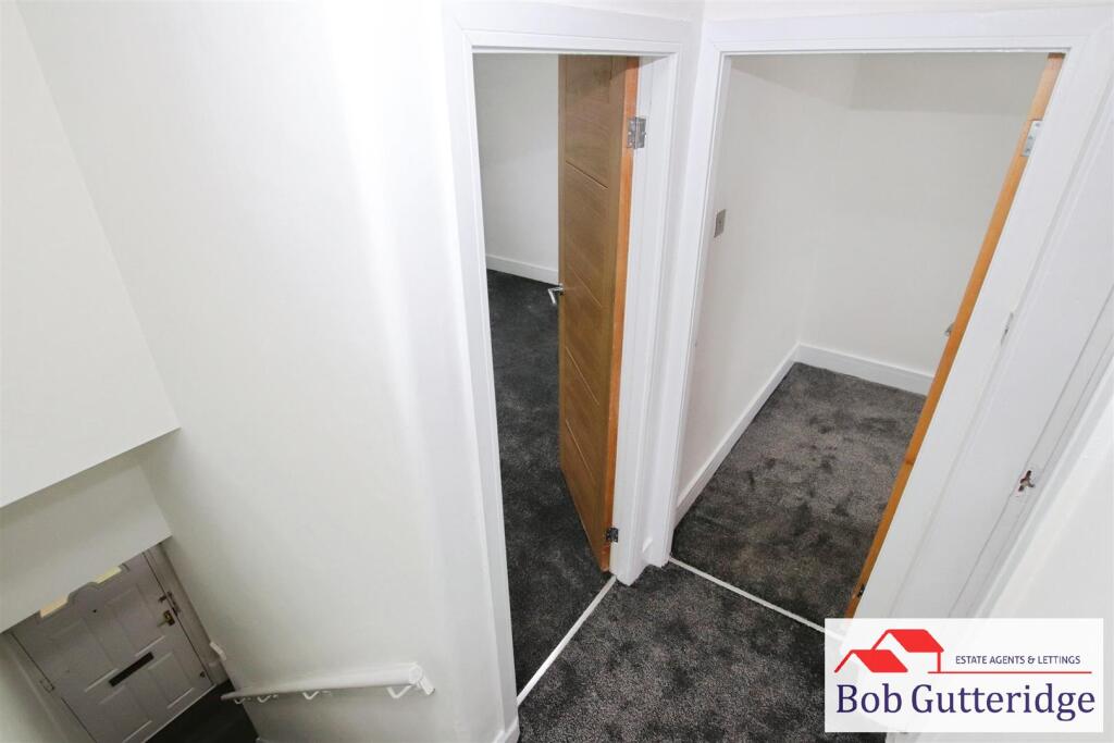
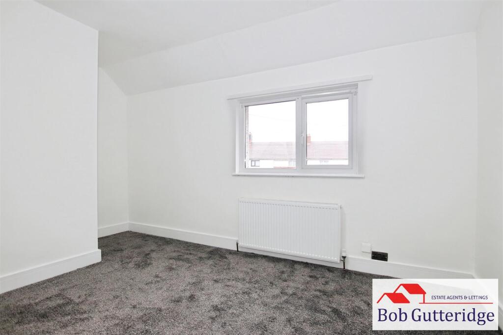
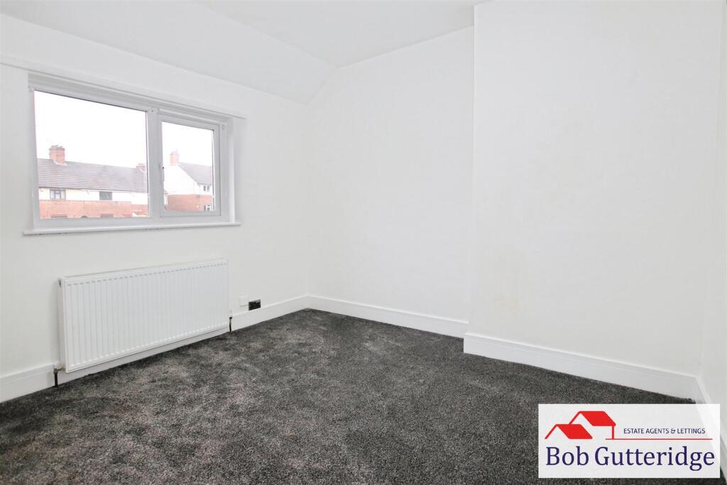
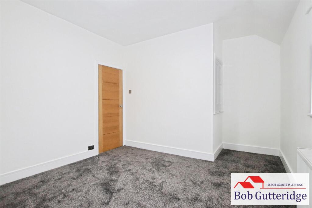

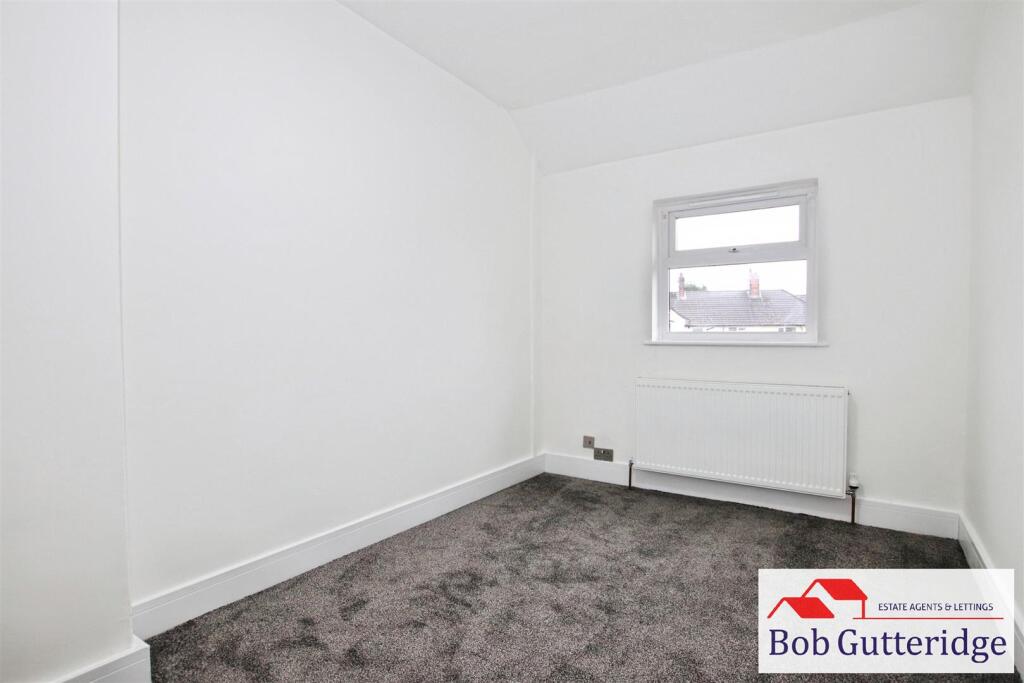
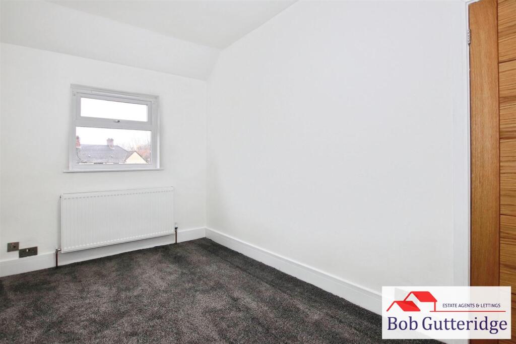
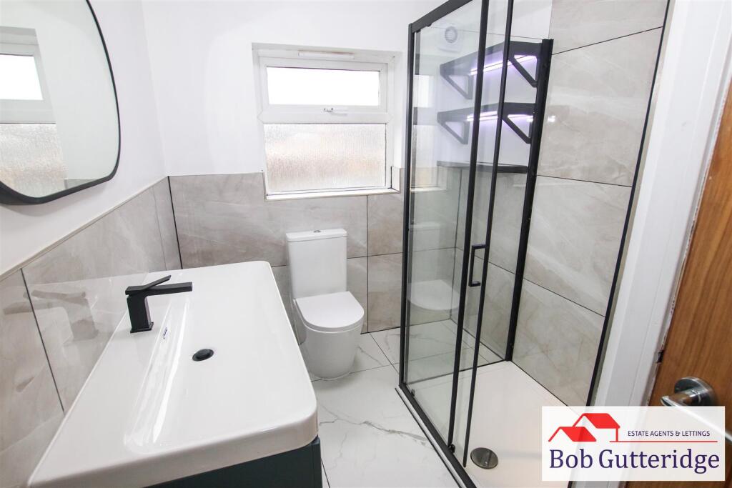
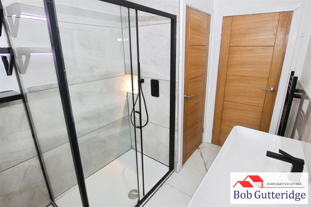
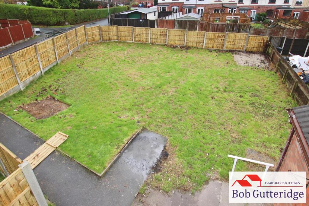
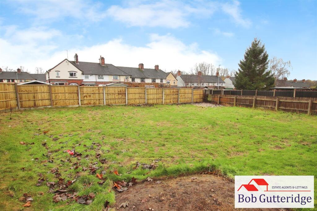
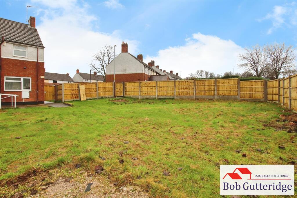
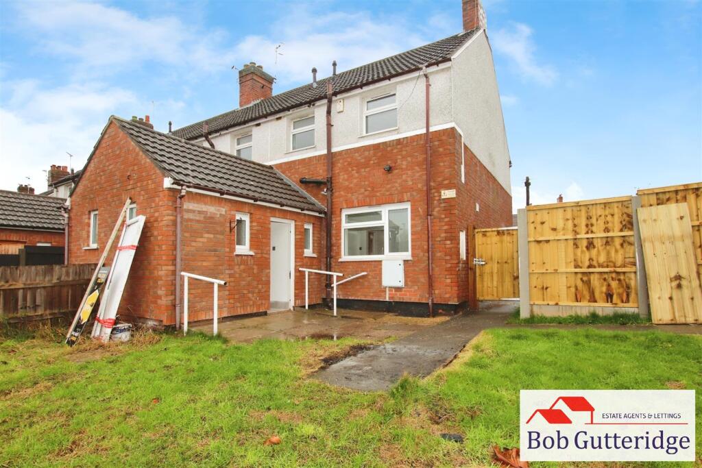

44b5309c-IMG_1129.JPG Photo 2 LOUNGE LOUNGE FITTED KITCHEN FITTED KITCHEN FITTED KITCHEN GROUND FLOOR W/C GROUND FLOOR W/C ENTRANCE HALL FIRST FLOOR LANDING BEDROOM ONE (FRONT) BEDROOM ONE (FRONT) BEDROOM ONE (FRONT) BEDROOM ONE (FRONT) BEDROOM TWO (REAR) BEDROOM TWO (REAR) FIRST FLOOR SHOWER ROOM FIRST FLOOR SHOWER ROOM ENCLOSED REAR GARDEN ENCLOSED REAR GARDEN ENCLOSED REAR GARDEN ENCLOSED REAR GARDEN ad1464d8-IMG_1127.JPG
/ 24
Property details
Deprivation
Decile 4 (10,529 of 33,755)
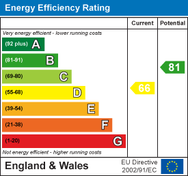
EPC ratings on this postcode
We don't have a matched EPC for this property yet. Below are efficiency scores and details for other addresses on this postcode.
| Address | Current | Potential | Floor area | Age band | Type |
|---|---|---|---|---|---|
| 25, Hassam Avenue, NEWCASTLE | 66 | 81 | 71 m² | England and Wales: 1930-1949 | Detached |
| 27 Hassam Avenue, NEWCASTLE | 72 | 87 | 71 m² | England and Wales: 1900-1929 | Terraced |
| 29 Hassam Avenue, NEWCASTLE | 69 | 85 | 72 m² | England and Wales: 1967-1975 | Terraced |
| 29 Hassam Avenue, NEWCASTLE | 69 | 86 | 73 m² | England and Wales: before 1900 | Terraced |
| 29 Hassam Avenue, NEWCASTLE | 70 | 85 | 73 m² | England and Wales: 1950-1966 | Terraced |
| 32 Hassam Avenue, NEWCASTLE | 68 | 84 | 71 m² | England and Wales: 1930-1949 | Terraced |
| 32, Hassam Avenue, NEWCASTLE | 64 | 79 | 77 m² | England and Wales: 1900-1929 | Terraced |
| 33, Hassam Avenue, NEWCASTLE | 69 | 86 | 69 m² | England and Wales: 1900-1929 | Terraced |
| 34, Hassam Avenue, NEWCASTLE | 59 | 78 | 73 m² | England and Wales: 1930-1949 | Terraced |
| 35 Hassam Avenue, NEWCASTLE | 72 | 78 | 77 m² | England and Wales: 1950-1966 | Detached |
| 41 Hassam Avenue, NEWCASTLE | 66 | 83 | 72 m² | England and Wales: 1930-1949 | Terraced |
| 41, Hassam Avenue, NEWCASTLE | 61 | 82 | 71 m² | England and Wales: 1930-1949 | Detached |
| 42, Hassam Avenue, NEWCASTLE | 62 | 76 | 74 m² | England and Wales: 1950-1966 | Detached |
| 42, Hassam Avenue, NEWCASTLE | 64 | 80 | 74 m² | England and Wales: 1930-1949 | Terraced |
| 43, Hassam Avenue, NEWCASTLE | 73 | 88 | 71 m² | England and Wales: 1930-1949 | Terraced |
Flood risk
Zone: 1
Risk: Low
Not in Flood Risk Area (no data)
Floorplans
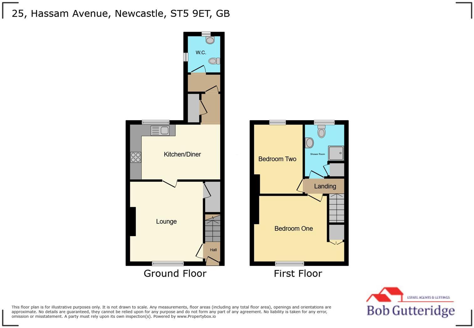
Floorplan.jpg
EPC Graphs
EE Rating
Rental Range
Estimated market rent for Newcastle-under-Lyme. Low = conservative, Realistic = average, Optimistic = best case.
Based on Local Authority from postcode lookup → Newcastle-under-Lyme.
LHA (30th percentile) floor for Staffordshire North: £479/mo (Apr 2025 – Mar 2026)
Location
Nearby
Nearest stations, universities and amenities (distance from property).
| Type | Name | Distance |
|---|---|---|
| University | Keele University | 2.0 miles |
| University | University of Staffordshire Stoke Campus | 2.2 miles |
Street-level crime
Crime data is not yet available for this property.
Rental Comparables
Residential lets from OpenRent and Rightmove for the area (same bedroom count). Use to validate rent estimates. Student lets are excluded.
Average rent: £878/mo (52 listings)
Enter House Number
Enter the house number to help us retrieve more accurate pricing history and property data.
Please log in to submit or correct the house number for this listing.
Log in to continue