St4 6Sj
ST4 6SJ
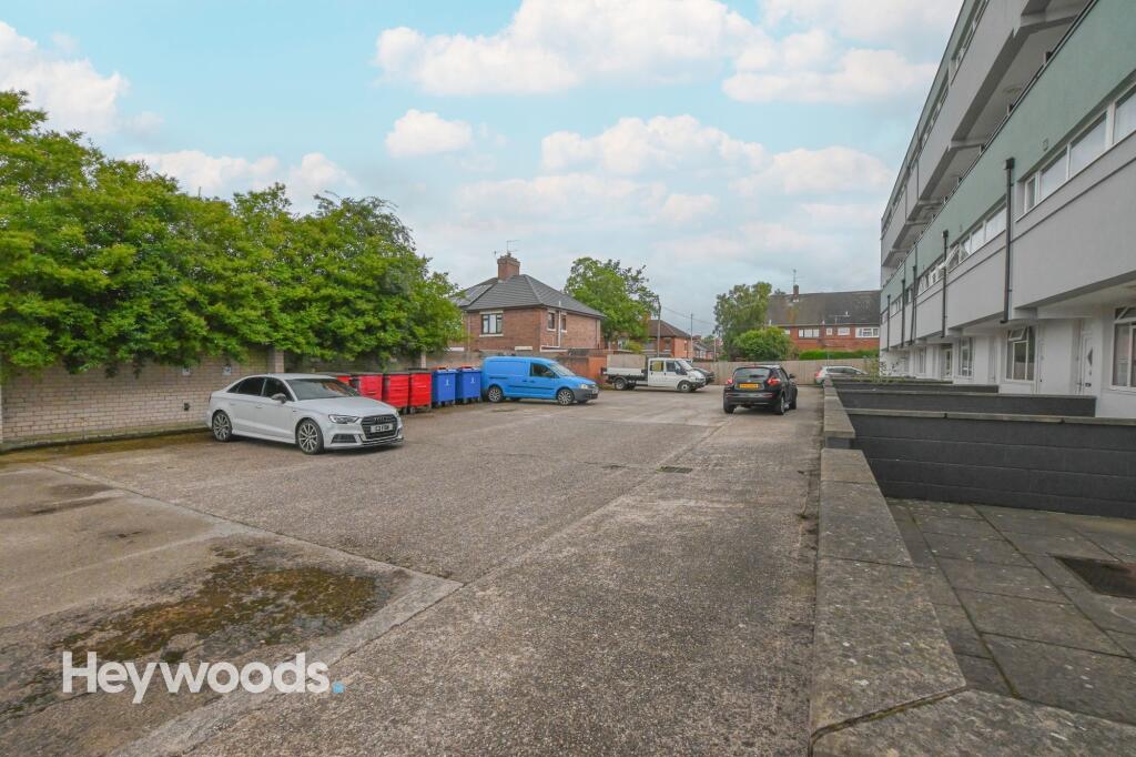
Photo 1 Photo 2 Photo 3 Photo 4 Photo 5 Photo 6 Photo 7 Photo 8 Photo 9 Photo 10 Photo 11 Photo 12 Photo 13
/ 13
Property details
Council tax band
A
Deprivation
Decile 5 (13,956 of 33,755)
EPC ratings on this postcode
We don't have a matched EPC for this property yet. Below are efficiency scores and details for other addresses on this postcode.
| Address | Current | Potential | Floor area | Age band | Type |
|---|---|---|---|---|---|
| Flat 1 Bridge Court, Stone Road, STOKE-ON-TRENT | 43 | 77 | 84 m² | England and Wales: 1967-1975 | Flat |
| Flat 1 Bridge Court, Stone Road, STOKE-ON-TRENT | 39 | 77 | 84 m² | England and Wales: 1967-1975 | Flat |
| Flat 10 Bridge Court, Stone Road, STOKE-ON-TRENT | 59 | 85 | 32 m² | England and Wales: 1967-1975 | Flat |
| Flat 10/A Bridge Court, Stone Road, STOKE-ON-TRENT | 60 | 78 | 58 m² | England and Wales: 1967-1975 | Flat |
| Flat 11 Bridge Court, Stone Road, STOKE-ON-TRENT | 54 | 79 | 86 m² | England and Wales: 1967-1975 | Flat |
| Flat 12 Bridge Court, Stone Road, STOKE-ON-TRENT | 54 | 78 | 88 m² | England and Wales: 1967-1975 | Flat |
| Flat 12 Bridge Court, Stone Road, STOKE-ON-TRENT | 20 | 60 | 80 m² | England and Wales: 1950-1966 | Flat |
| Flat 13 Bridge Court, Stone Road, STOKE-ON-TRENT | 52 | 78 | 88 m² | England and Wales: 1967-1975 | Flat |
| Flat 13 Bridge Court, Stone Road, STOKE-ON-TRENT | 32 | 81 | 88 m² | England and Wales: 1967-1975 | Flat |
| Flat 14 Bridge Court, Stone Road, STOKE-ON-TRENT | 73 | 85 | 34 m² | England and Wales: 1967-1975 | Flat |
| Flat 14/A Bridge Court, Stone Road, STOKE-ON-TRENT | 44 | 81 | 59 m² | England and Wales: 1967-1975 | Flat |
| Flat 15/A Bridge Court, Stone Road, STOKE-ON-TRENT | 60 | 78 | 58 m² | England and Wales: 1967-1975 | Flat |
| Flat 16 Bridge Court, Stone Road, STOKE-ON-TRENT | 40 | 74 | 83 m² | England and Wales: 1967-1975 | Flat |
| Flat 2 Bridge Court, Stone Road, STOKE-ON-TRENT | 41 | 81 | 84 m² | England and Wales: 1967-1975 | Flat |
| Flat 3 Bridge Court, Stone Road, STOKE-ON-TRENT | 74 | 86 | 46 m² | England and Wales: 1967-1975 | Flat |
Flood risk
Zone: 1
Risk: Low
Not in Flood Risk Area (no data)
Rental Range
Estimated market rent for Stoke-on-Trent. Low = conservative, Realistic = average, Optimistic = best case.
Based on Local Authority from postcode lookup → Stoke-on-Trent.
LHA (30th percentile) floor for Staffordshire North: £424/mo (Apr 2025 – Mar 2026)
Location
Nearby
Nearest stations, universities and amenities (distance from property).
| Type | Name | Distance |
|---|---|---|
| Shop | Suzuki Powerslide Motorcycles Ltd | 0.1 miles |
| Shop | DMC Moto Stoke | 0.1 miles |
| Bus stop | Unknown | 0.4 miles |
| Hospital | North Staffordshire Nuffield Hospital | 0.8 miles |
| Hospital | Harplands Hospital | 1.1 miles |
| Train station | Trentham Leisure | 1.8 miles |
| Train station | Stoke-on-Trent | 1.8 miles |
| University | University of Staffordshire Stoke Campus | 1.9 miles |
Street-level crime
Crime data is not yet available for this property.
Rental Comparables
Residential lets from OpenRent and Rightmove for the area (same bedroom count). Use to validate rent estimates. Student lets are excluded.
Average rent: £620/mo (45 listings)
Enter House Number
Enter the house number to help us retrieve more accurate pricing history and property data.
Please log in to submit or correct the house number for this listing.
Log in to continue