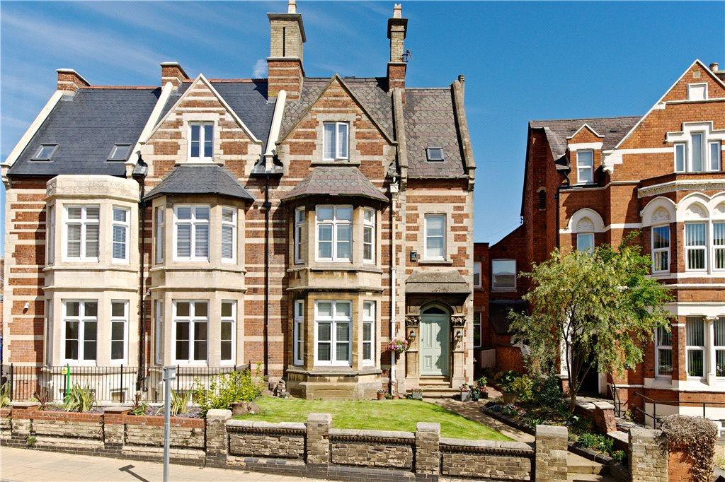
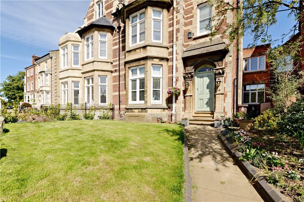
9 BILLING ROAD
NORTHAMPTON, NORTHAMPTONSHIRE NN1 5AW
Property details
Tenure
FREEHOLD
Floor area
219 m²
EPC rating
D
Year built
England and Wales: before 1900
Last sold
£380,000 Mar 2020
Price per m²
£1,941/m²
Local average
£302,667 (+40.4%)
Deprivation
Decile 3 (8,497 of 33,755)
Street crime
772 incidents within 1 mile (Apr 2026)
Key features
- Victorian townhouse
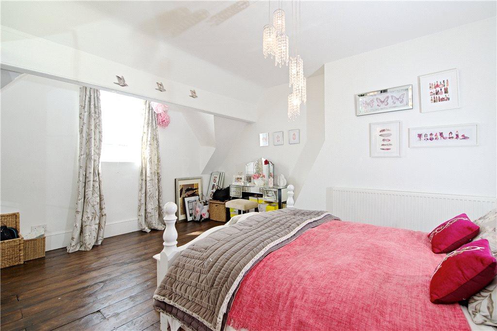
- Five bedrooms
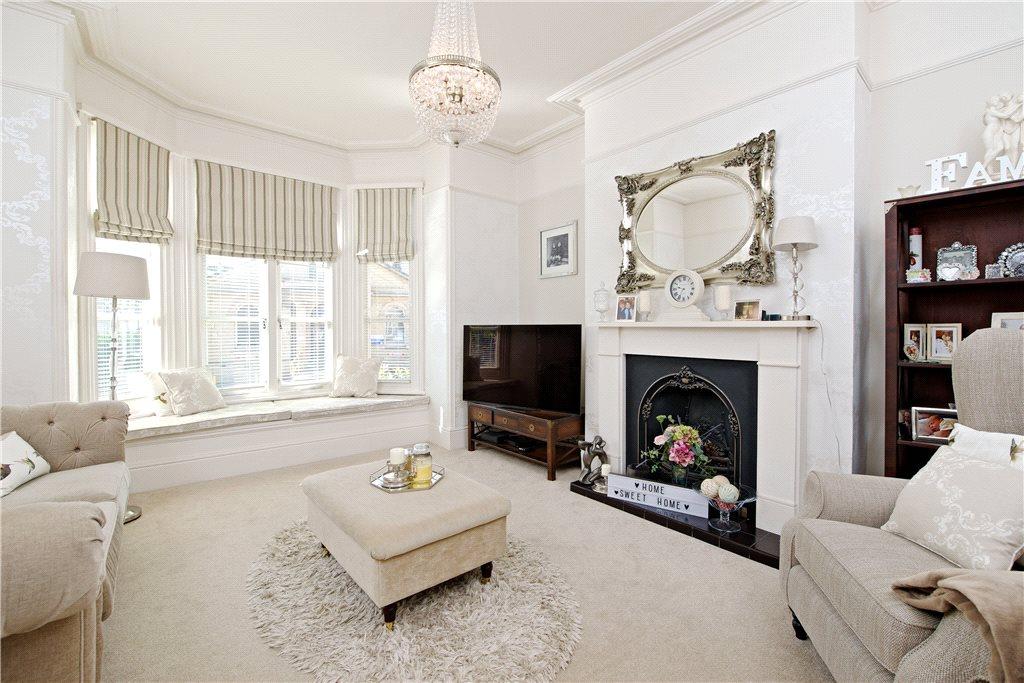
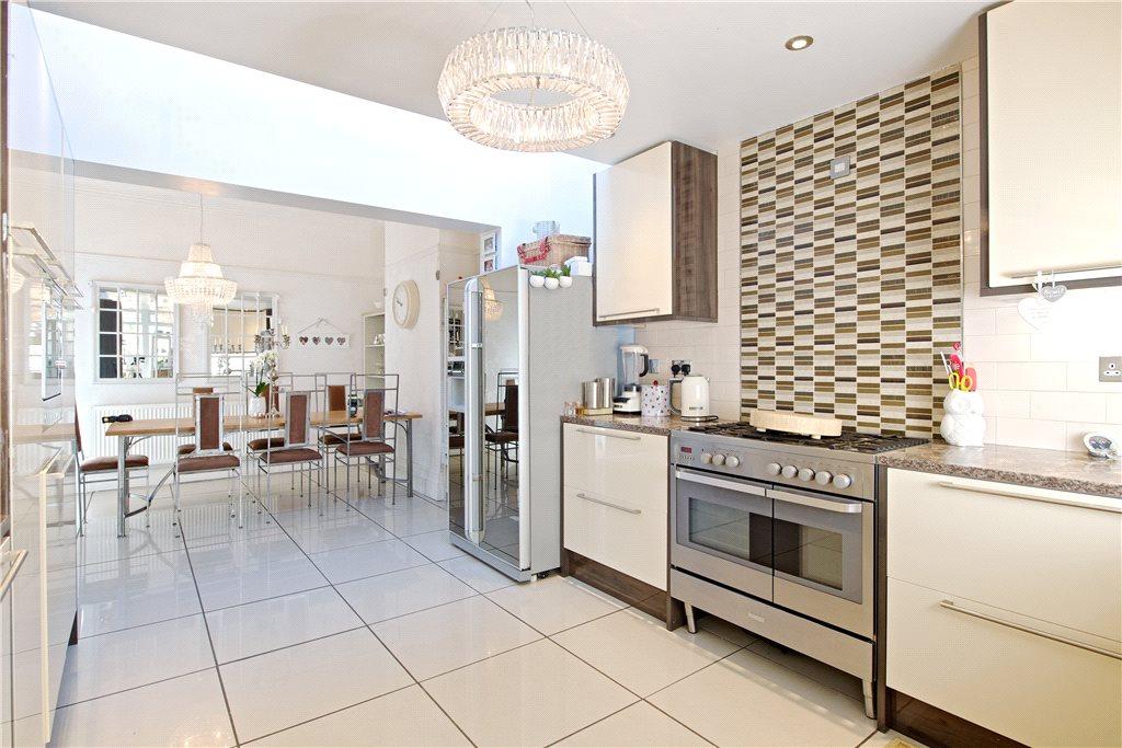
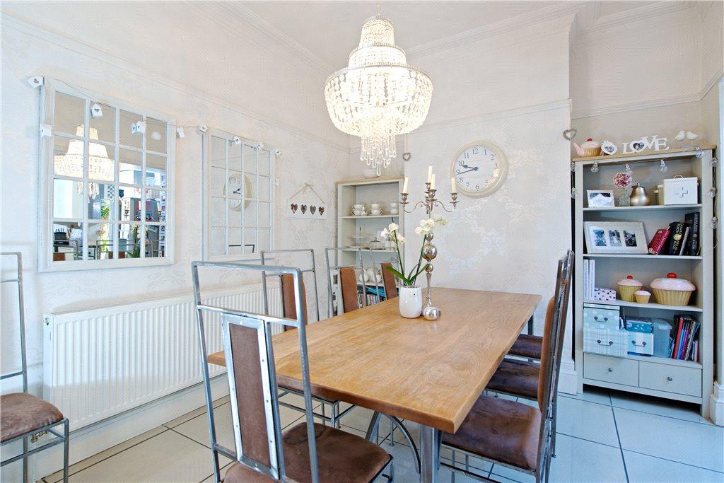
- Three reception rooms
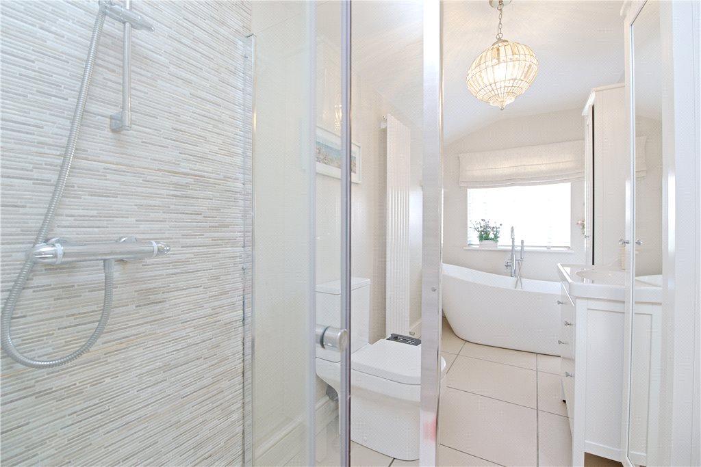
- Two bathrooms and a cloakroom
- Basement with utility room
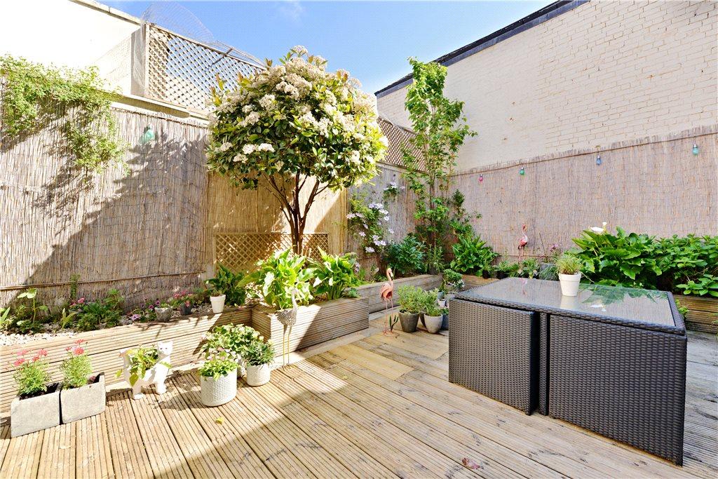
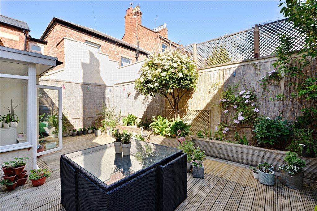
- Rear decked garden
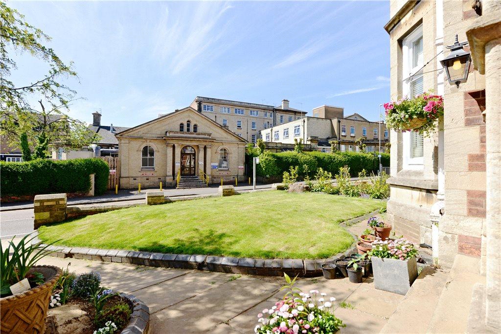
- Town centre location
- Permit parking
Additional details
- Parking
- Yes
- Garden
- Yes
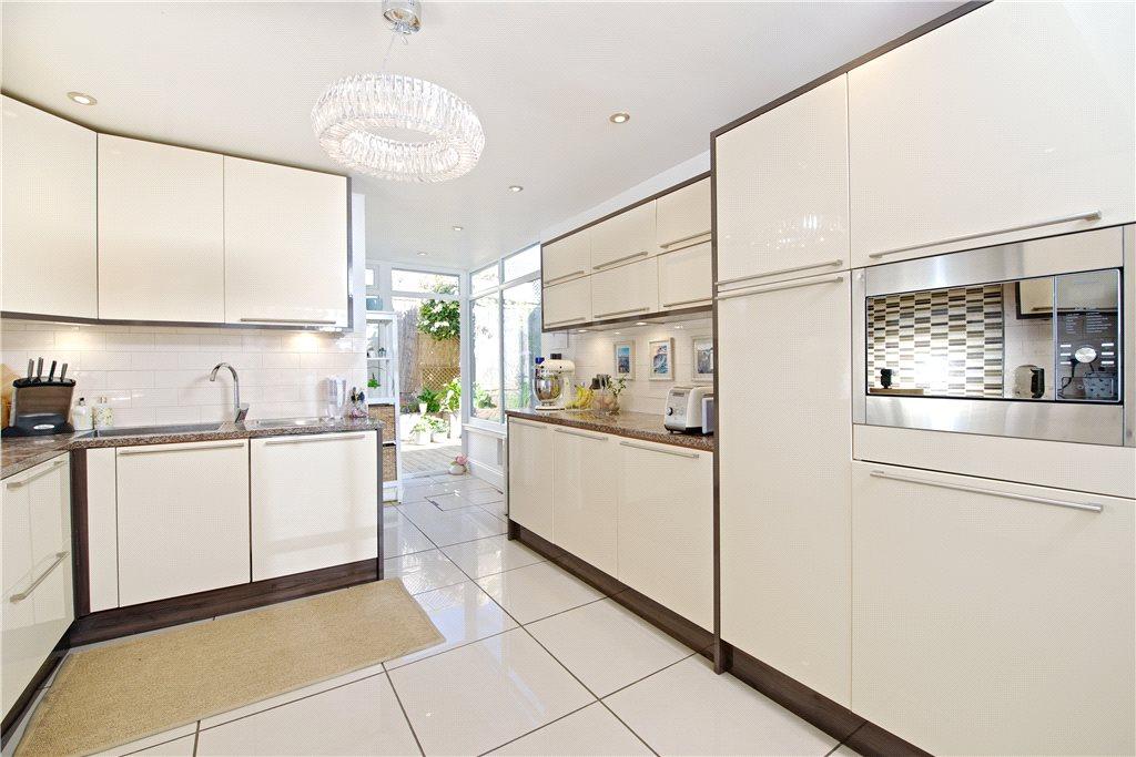
Description
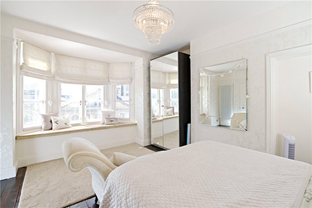
On the first floor the master bedroom has a dressing room, and there are two further bedrooms and a family bathroom. The two remaining bedrooms and a further bathroom are on the second floor.
There are gardens to both front and rear and permit parking is available nearby.
Listed by
Northampton
Michael Graham
Reference: 62788974
EPC Rating & Upgrade Cost
Current rating: D
Potential rating: C
Inspection date: 04/02/2019
Expiry date: 03/02/2029
Current heating cost: £1,778/year
Potential heating cost: £1,064/year
Recommendations
- Flat roof or sloping ceiling insulation (1,500)
- 50 mm internal or external wall insulation (14,000)
- Floor insulation (suspended floor) (1,200)
- Low energy lighting for all fixed outlets (40)
- Solar photovoltaic panels, 2.5 kWp (8,000)
Flood risk
Zone: 1
Risk: Low
Job (default Low)
Floorplans
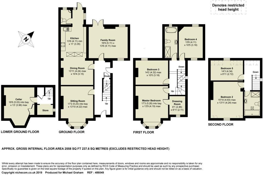
Floorplan
EPC Graphs
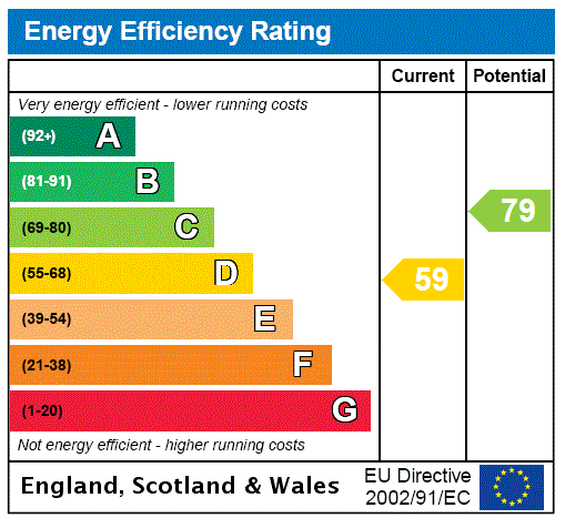
EPC Rating Graph
Price history
322% since 1999
| Event | Date | Price | % change |
|---|---|---|---|
| Sold | 16/03/2020 (6 years ago) | £380,000 | +57.1% |
| Sold | 31/10/2008 (17 years ago) | £241,816 | +168.7% |
| Sold | 20/10/1999 (26 years ago) | £90,000 | — |
Source: HM Land Registry Price Paid Data. Crown copyright.
Sold Comparables
Same street and nearby sales within 0.25 miles (last 5 years). Data from Land Registry Price Paid.
| Address | Price | Date | Type |
|---|---|---|---|
| 9 CYRIL STREET, NORTHAMPTON, WEST NORTHAMPTONSHIRE, NN1 5EL | £225,000 | 28/11/2023 | Semi-detached |
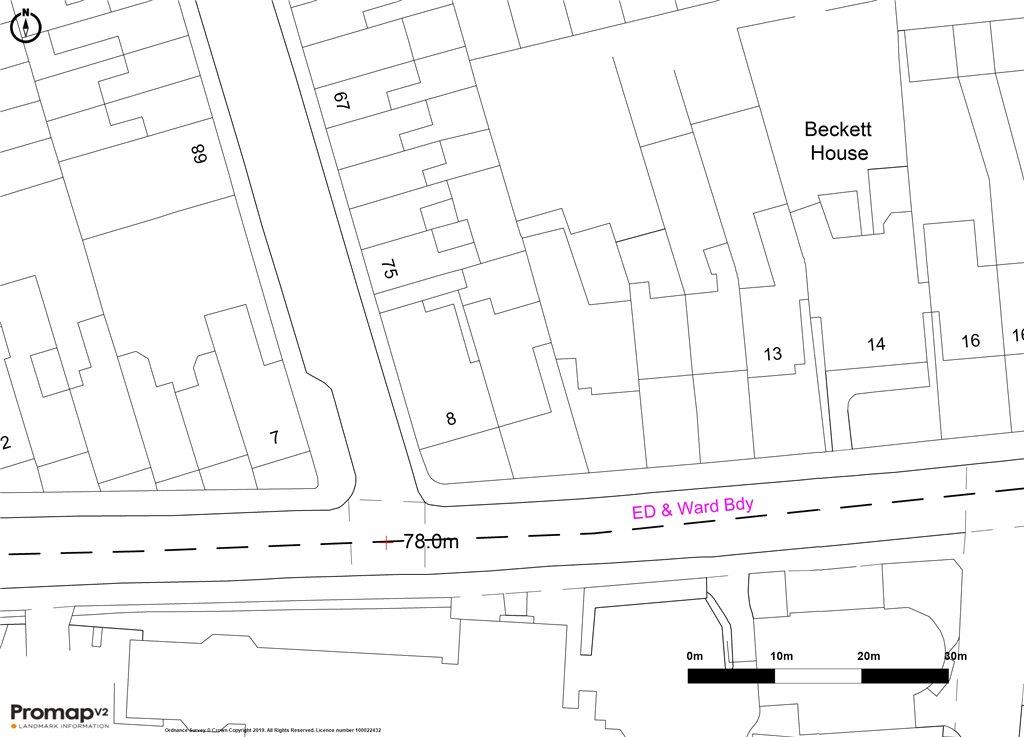
| Same street 10 BILLING ROAD, NORTHAMPTON, WEST NORTHAMPTONSHIRE, NN1 5AW | £700,000 | 29/09/2023 | Terraced |
| Same street BECKETT HOUSE, 14 BILLING ROAD, NORTHAMPTON, WEST NORTHAMPTONSHIRE, NN1 5AW | £600,000 | 16/12/2022 | Terraced |
| Same street 17 BILLING ROAD, NORTHAMPTON, WEST NORTHAMPTONSHIRE, NN1 5AW | £699,950 | 21/06/2021 | Terraced |
Street average: £666,650 (3 sales)
Area average: £225,000 (1 sale)
Capital growth trend
Land Registry outcode average: last 12 months vs 5y and 10y ago (from sold prices).
House Price Index (HM Land Registry — official index, not sold-price averages): West Northamptonshire. Series: Semi-detached. As of March 2026.
Rental Range
Estimated market rent for West Northamptonshire. Low = conservative, Realistic = average, Optimistic = best case.
Based on Local Authority from postcode lookup → West Northamptonshire.
LHA (30th percentile) floor for Northampton: £1,157/mo (Apr 2025 – Mar 2026)
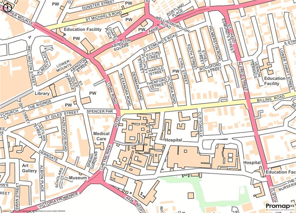
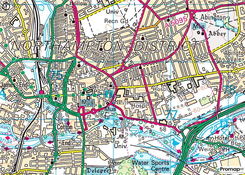
Location
Nearby
Nearest stations, universities and amenities (distance from property).
| Type | Name | Distance |
|---|---|---|
| Bus stop | Unknown | 0.0 miles |
| Bus stop | General Hospital (Stop E) | 0.0 miles |
| Shop | CS Photo Studio | 0.2 miles |
| Shop | Beach Hut Nail Studio | 0.2 miles |
| University | University of Northampton | 0.2 miles |
| Train station | Northampton | 0.9 miles |
| University | University of Northampton St Georges Avenue | 1.0 miles |
| Hospital | St Matthews Hospital | 1.0 miles |
| Hospital | Manfield Health Campus | 2.1 miles |
| Train station | Boughton | 3.4 miles |
Street-level crime
| Category | Count |
|---|---|
| Violence and sexual offences | 246 |
| Anti-social behaviour | 183 |
| Public order | 54 |
| Other theft | 48 |
| Criminal damage and arson | 43 |
| Shoplifting | 41 |
| Drugs | 37 |
| Burglary | 32 |
| Vehicle crime | 32 |
| Robbery | 22 |
| Possession of weapons | 14 |
| Bicycle theft | 7 |
| Theft from the person | 7 |
| Other crime | 6 |
| Total incidents | 772 |
Within 1 mile during Apr 2026. Source: data.police.uk (England & Wales).
Schools nearby
Nearest open schools with Ofsted ratings (England). Closed schools are not shown. Data from Get Information about Schools and Ofsted.
| Name | Type | Distance | Ofsted |
|---|---|---|---|
| Progress Schools - Northamptonshire | Other | 0.3 miles | Requires improvement — 1 May 2024 |
| Vernon Terrace Primary School | Primary | 0.3 miles | Good — 26 Jan 2023 |
| New Horizons Academy | Other | 0.6 miles | Inadequate — 24 Mar 2024 |
| The CE Academy | Other | 0.6 miles | Inadequate — 6 Sep 2021 |
| Barry Primary School | Primary | 0.6 miles | Good — 22 Jun 2023 |
Rental Comparables
Rental listings exist nearby, but none matched the 5-bedroom count for this property.
Rent-driven metrics
Based on Area rent estimate.
- Rent ratio — Monthly rent ÷ purchase price (1% rule). 1%+ = strong, 0.8–1% = okay, <0.8% = weak for cashflow.
- Max investor price — Rent ÷ 0.8%; the price at which rent would be 0.8% of price (Stoke-style target).
- Target investor price — Rent ÷ 1%; the price at which rent would be 1% of price (strong cashflow band).
- Gross yield — Annual rent as % of purchase price (no costs).