29 QUEENS ROAD
LONDON, LEYTONSTONE, GREATER LONDON E11 1BA
£469,995
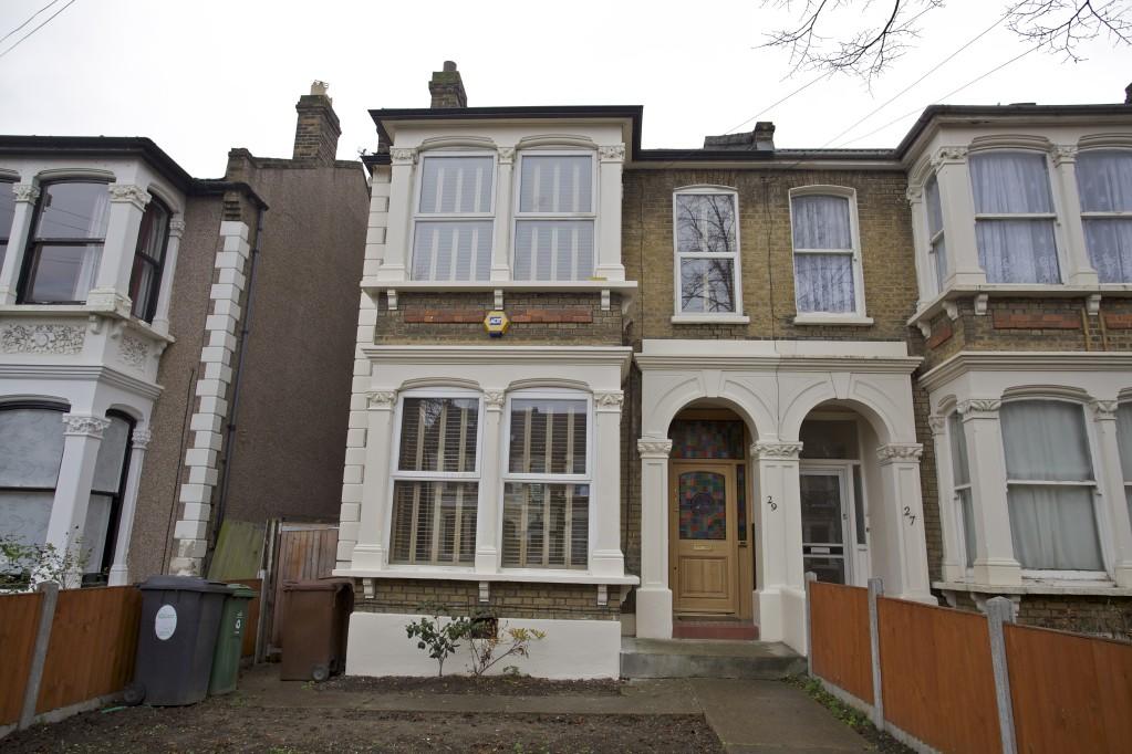
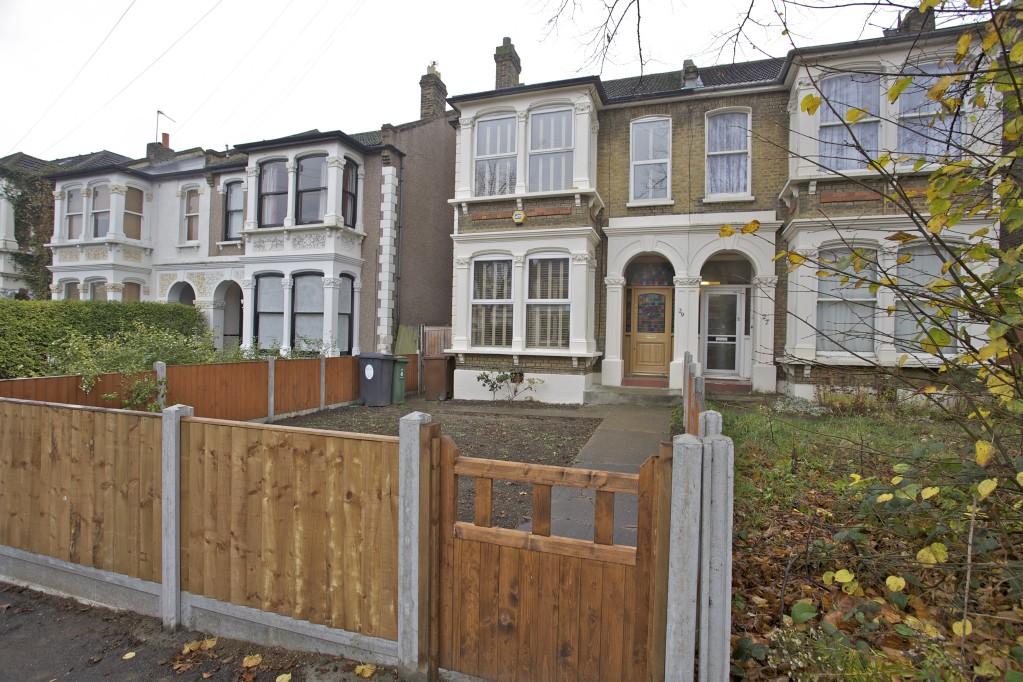
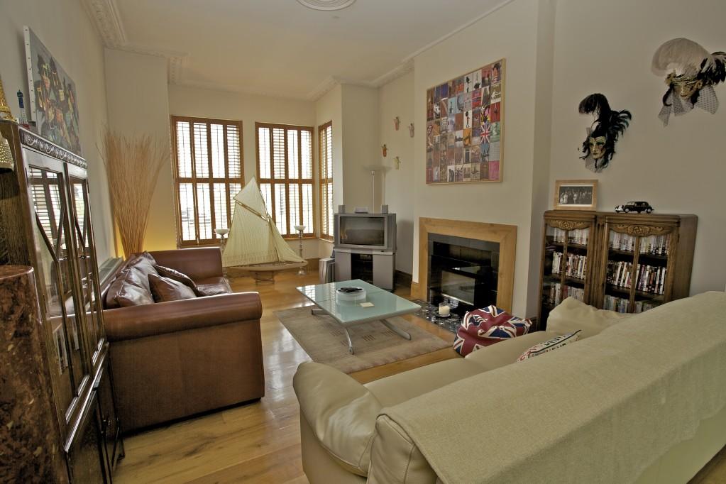
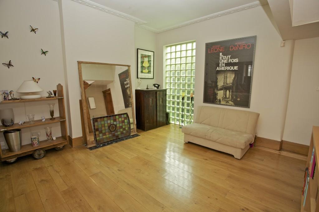

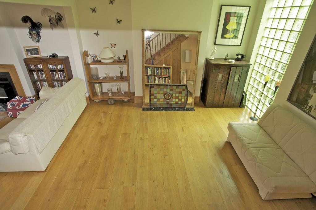
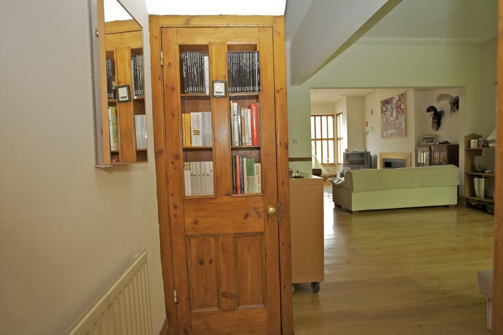
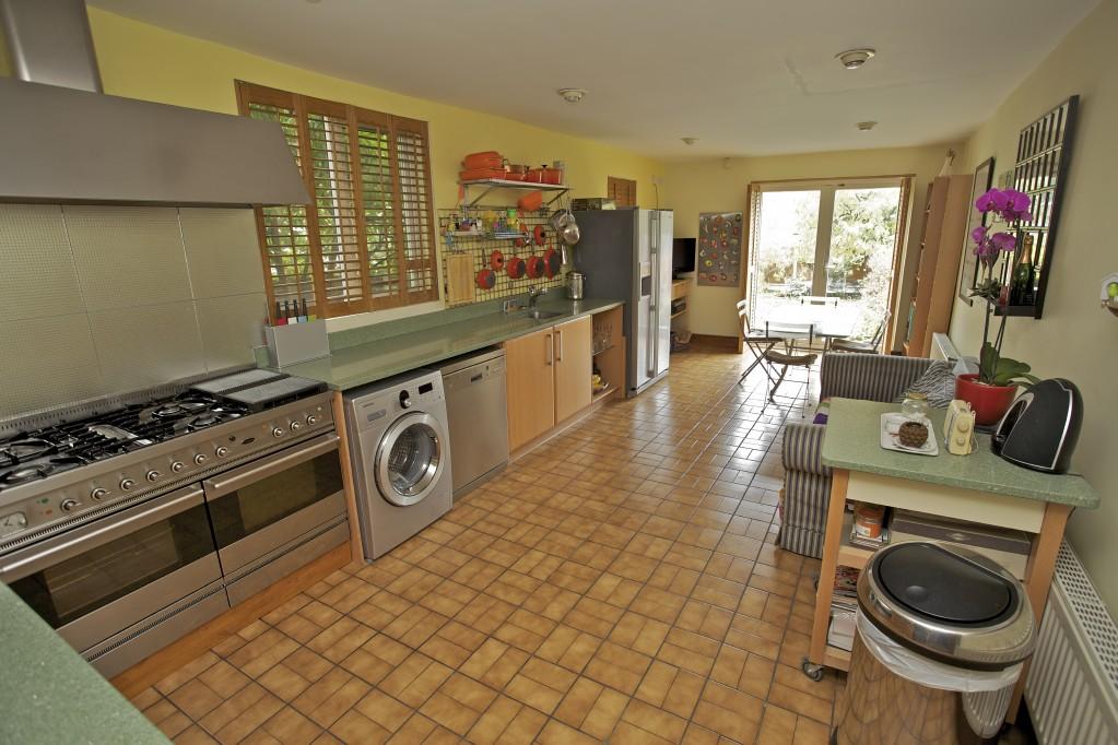
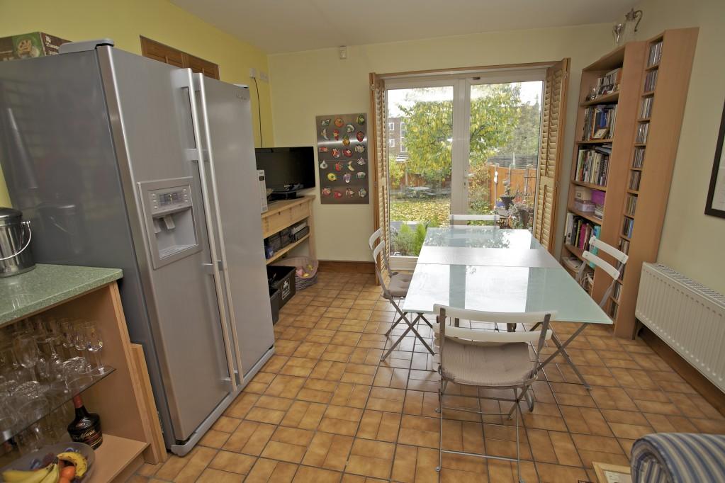
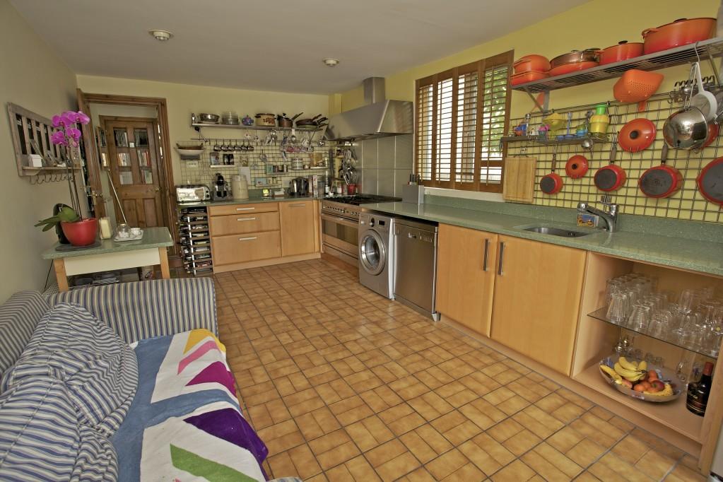
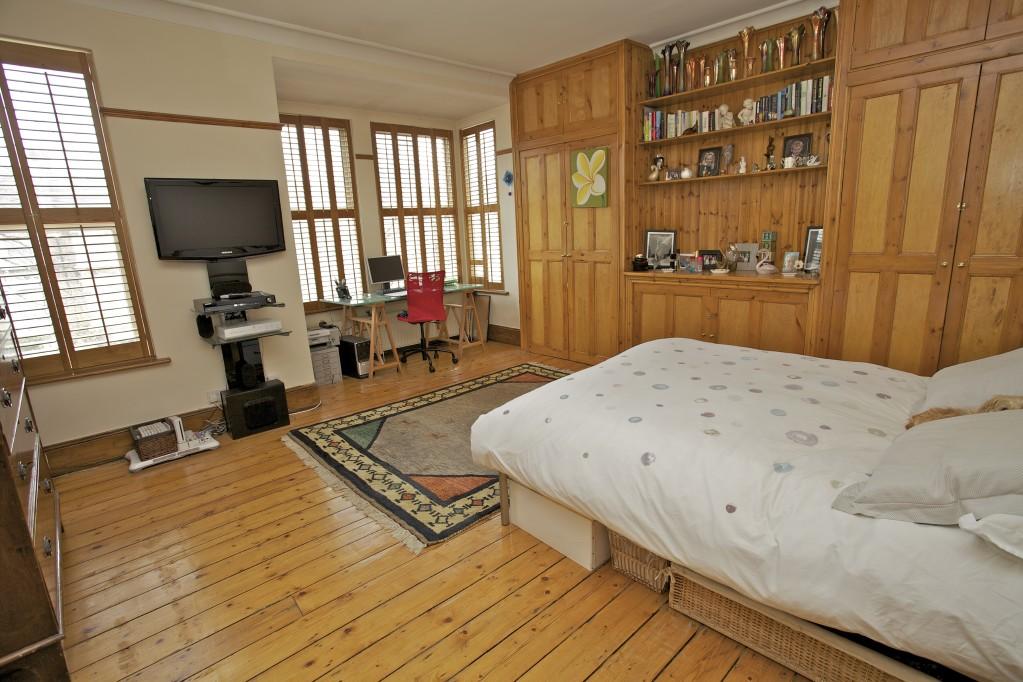
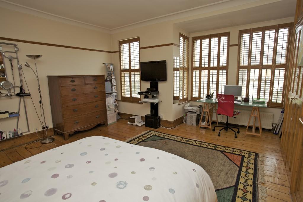
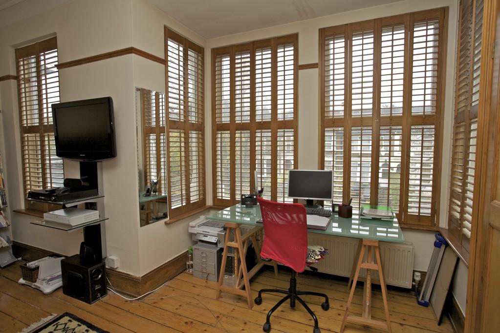
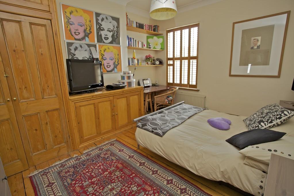
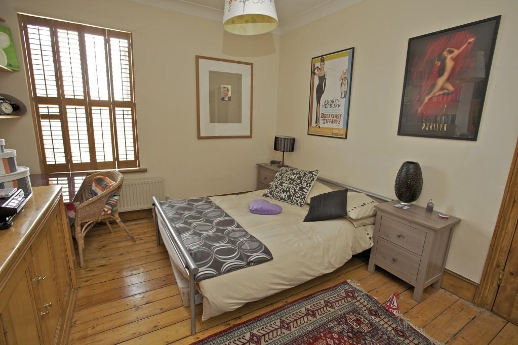
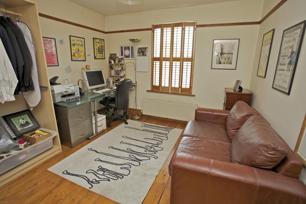
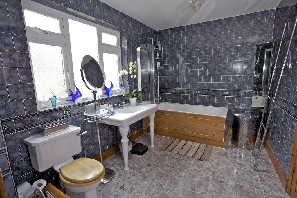
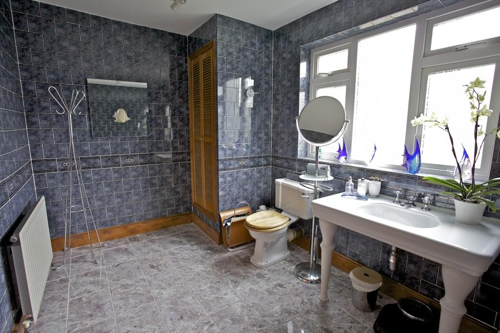

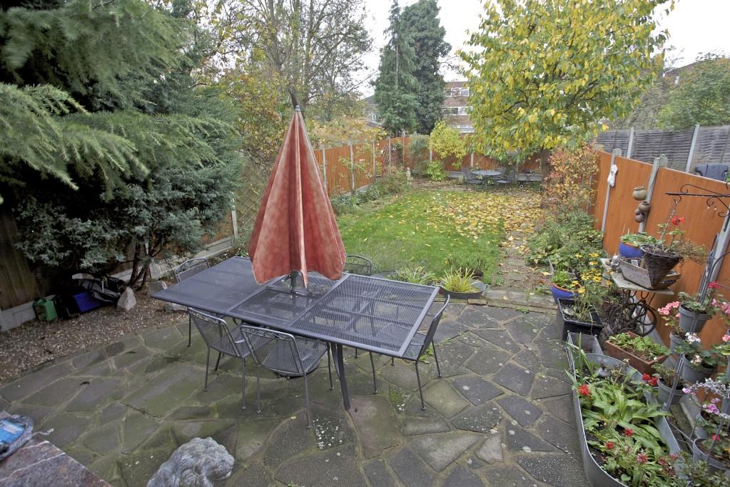
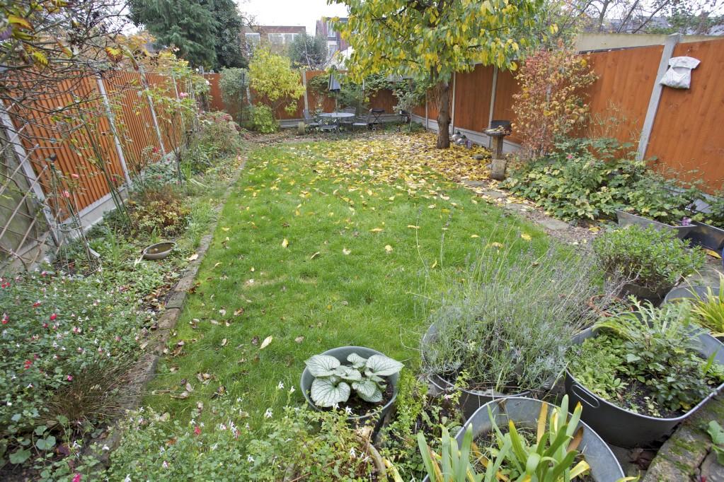
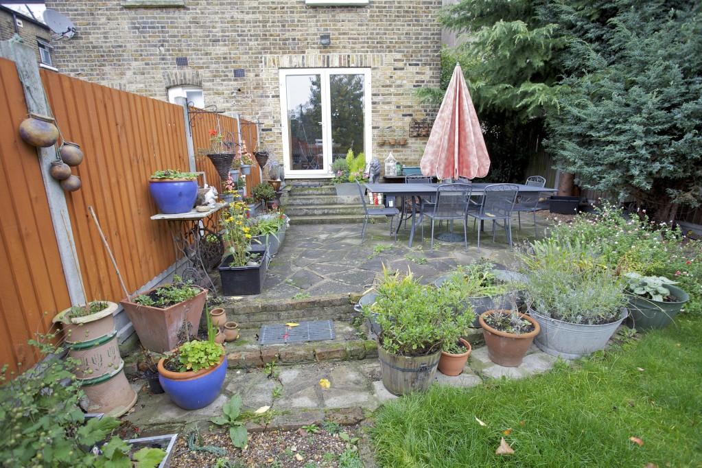
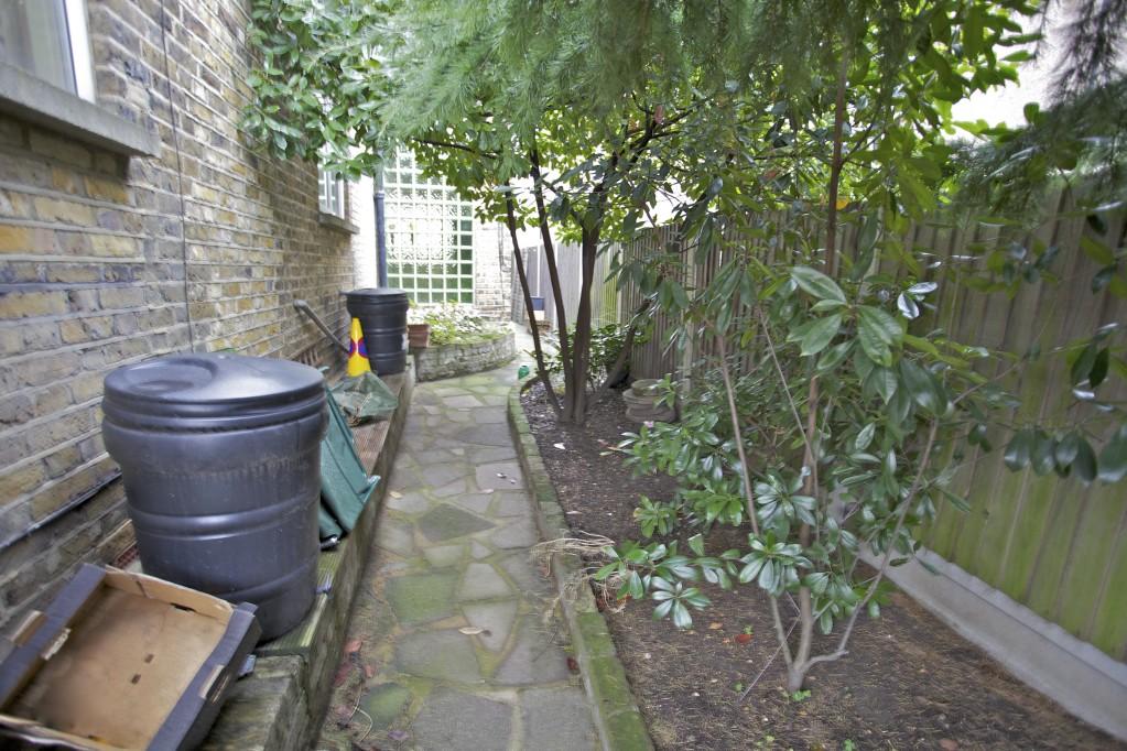
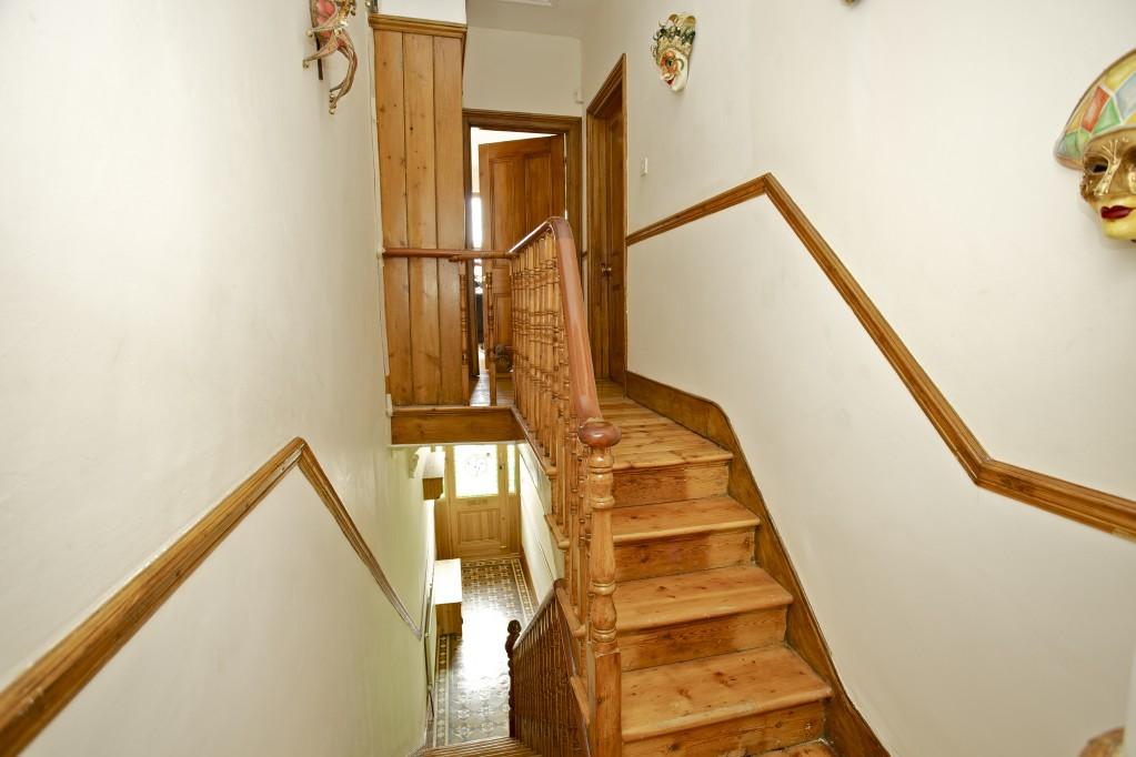
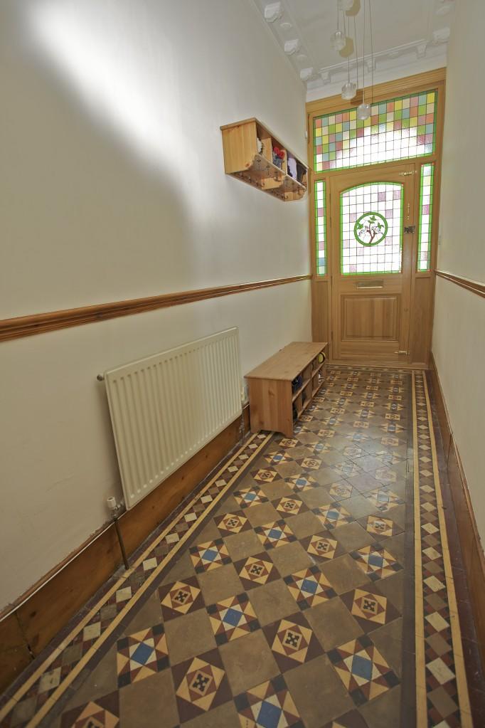
Photo 1 Photo 2 Photo 3 Photo 4 Photo 5 Photo 6 Photo 7 Photo 8 Photo 9 Photo 10 Photo 11 Photo 12 Photo 13 Photo 14 Photo 15 Photo 16 Photo 17 Photo 18 Photo 19 Photo 20 Photo 21 Photo 22 Photo 23 Photo 24 Photo 25
/ 25
Property details
Tenure
FREEHOLD
Last sold
£477,000 May 2012
Local average
£1,030,781 (-54.4%)
Deprivation
Decile 3 (9,275 of 33,755)
Street crime
785 incidents within 1 mile (Apr 2026)
Key features
- Through Lounge 32'6 x 16'11 narr to 12'
- Kitchen/Diner 25'2 x 10'10
- Bedroom One 18'2 x 16'2 to chimney breast
- Bedroom Two 13'10 x 11'6
- Bedroom Three 11'7 x 10'10
- Stunning First Floor Bathroom 13'4 x 7'8
- Cellar
- 54ft min Rear Garden
- Good Size Front Garden
- Higly Recommended
Additional details
- Garden
- Yes
Description
Through Lounge; Kitchen/Diner; Stunning First Floor Bathroom; Cellar; 54ft min Rear Garden; Good Size Front Garden; Side Access; Double Glazing; Wood Stained Internal Doors & Window Shutters; Polished Wood Flooring; Fitted Wardrobes; Gas Central Heating.Ref-st1133
Listed by
East London - Sales
Theydons
Reference: 20682939
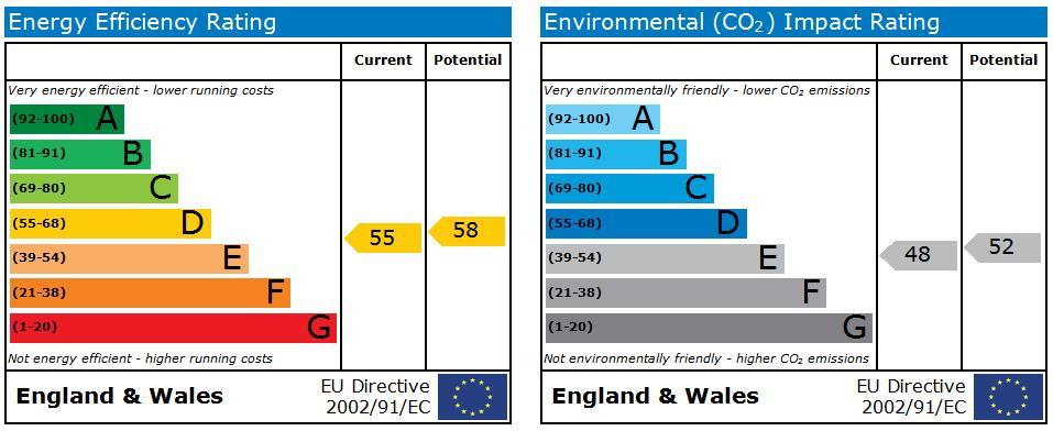
EPC Rating & Upgrade Cost
Fetching EPC data… Refresh this page in a moment.
Flood risk
Zone: 1
Risk: Low
Job (default Low)
Floorplans

Floorplan 1
EPC Graphs
EPC 1
FENSA Certificates
This property has 1 FENSA certificate(s) on record, indicating window/door installations by FENSA-approved installers.
FENSA Certificate #9618073
Property Details
Street: 29 Queens Road
Town: LONDON
Postcode: E11 1BA
Installation Details
Items: 2 windows
Certificate Issued: 17/06/2013
Work Completed: 17/05/2013
This certificate data was retrieved from FENSA's database
What is FENSA? FENSA (Fenestration Self-Assessment Scheme) is a government-authorised scheme that monitors building regulation compliance for replacement windows and doors. Certificates indicate that work was completed by FENSA-approved installers.
Price history
| Event | Date | Price | % change |
|---|---|---|---|
| Sold | 04/05/2012 (14 years ago) | £477,000 | — |
Source: HM Land Registry Price Paid Data. Crown copyright.
Sold Comparables
Same street and nearby sales within 0.25 miles (last 5 years). Data from Land Registry Price Paid.
| Address | Price | Date | Type |
|---|---|---|---|
| 50 FAIRLOP ROAD, LEYTONSTONE, LONDON, WALTHAM FOREST, GREATER LONDON, E11 1BN | £893,225 | 05/01/2022 | Semi-detached |
Area average: £893,225 (1 sale)
Capital growth trend
Land Registry outcode average: last 12 months vs 5y and 10y ago (from sold prices).
House Price Index (HM Land Registry — official index, not sold-price averages): Waltham Forest. Series: Semi-detached. As of March 2026.
Rental Range
Estimated market rent for Waltham Forest. Low = conservative, Realistic = average, Optimistic = best case.
Based on Local Authority from postcode lookup → Waltham Forest.
LHA (30th percentile) floor for Outer East London: £1,670/mo (Apr 2025 – Mar 2026)
Location
Nearby
Nearest stations, universities and amenities (distance from property).
| Type | Name | Distance |
|---|---|---|
| Bus stop | Clarendon Road | 0.1 miles |
| Train station | Leytonstone | 0.2 miles |
| Shop | Unknown | 0.2 miles |
| Train station | Leytonstone High Road | 0.5 miles |
| University | Arden University Stratford Campus | 2.0 miles |
| Hospital | Rainbow Ward | 3.5 miles |
| Hospital | A&E Department | 3.5 miles |
| University | NTU London | 4.9 miles |
Street-level crime
| Category | Count |
|---|---|
| Violence and sexual offences | 185 |
| Anti-social behaviour | 174 |
| Shoplifting | 81 |
| Vehicle crime | 63 |
| Other theft | 54 |
| Drugs | 46 |
| Public order | 41 |
| Criminal damage and arson | 40 |
| Burglary | 33 |
| Theft from the person | 25 |
| Robbery | 19 |
| Possession of weapons | 10 |
| Bicycle theft | 8 |
| Other crime | 6 |
| Total incidents | 785 |
Within 1 mile during Apr 2026. Source: data.police.uk (England & Wales).
Schools nearby
Nearest open schools with Ofsted ratings (England). Closed schools are not shown. Data from Get Information about Schools and Ofsted.
| Name | Type | Distance | Ofsted |
|---|---|---|---|
| Gwyn Jones Primary School | Primary | 0.2 miles | Good — 15 Oct 2014 |
| Connaught School for Girls | Secondary | 0.3 miles | Good — 15 Jun 2011 |
| George Tomlinson Primary School | Primary | 0.3 miles | Good — 5 Mar 2018 |
| Norlington School and 6th Form | Secondary | 0.4 miles | Good — 4 Oct 2013 |
| Leytonstone School | Secondary | 0.4 miles | Good — 8 Jul 2016 |
Rental Comparables
Rental listings exist nearby, but none matched the 3-bedroom count for this property.
Rent-driven metrics
Based on Area rent estimate.
- Rent ratio — Monthly rent ÷ purchase price (1% rule). 1%+ = strong, 0.8–1% = okay, <0.8% = weak for cashflow.
- Max investor price — Rent ÷ 0.8%; the price at which rent would be 0.8% of price (Stoke-style target).
- Target investor price — Rent ÷ 1%; the price at which rent would be 1% of price (strong cashflow band).
- Gross yield — Annual rent as % of purchase price (no costs).