22 THE CROSSWAY
NEWCASTLE, STAFFORDSHIRE ST5 0RZ
£1,100 pcm
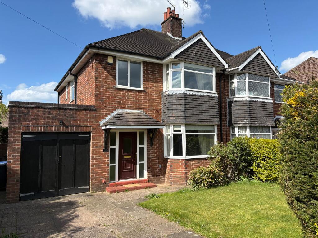
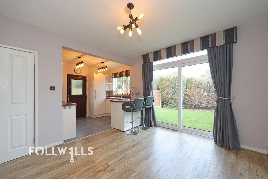
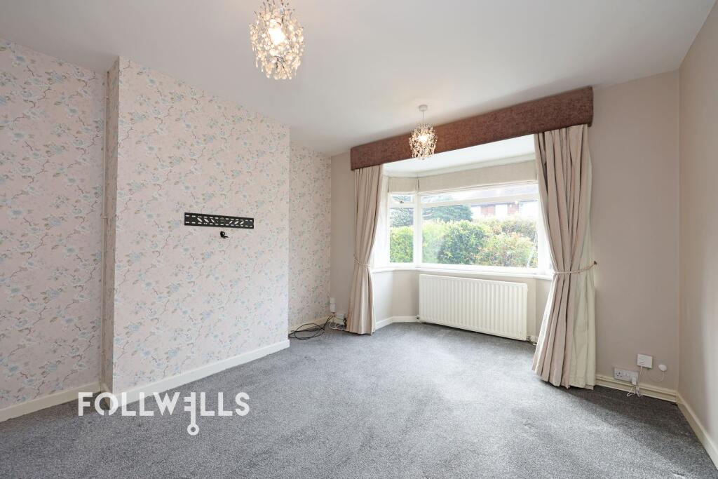
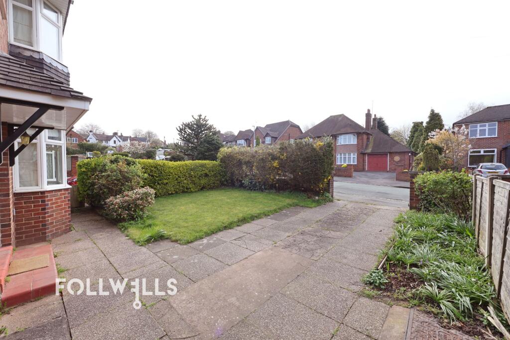
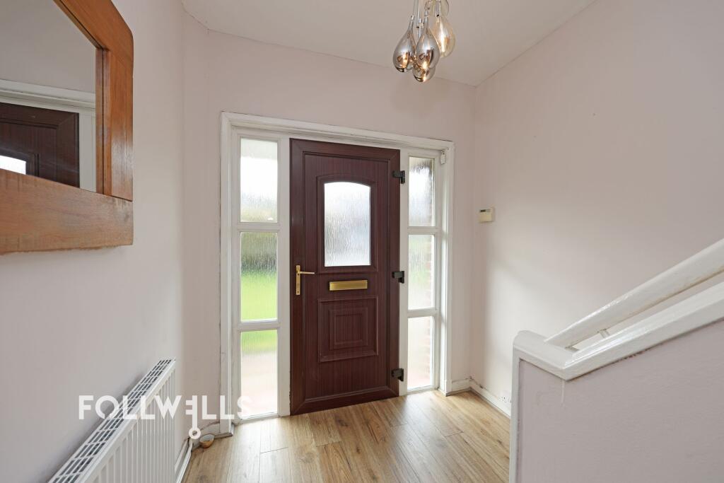
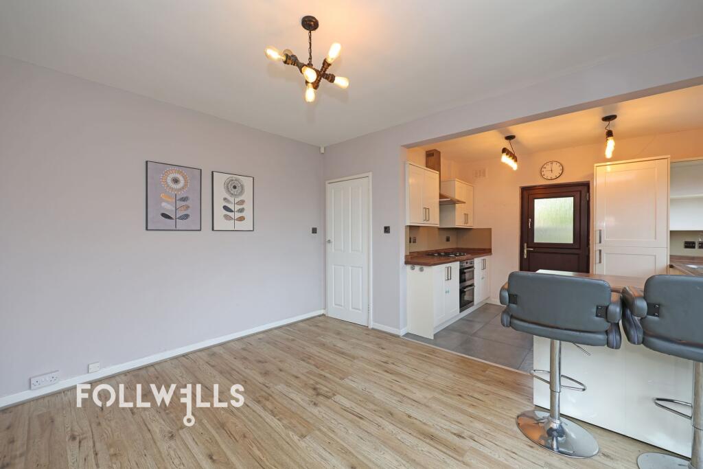
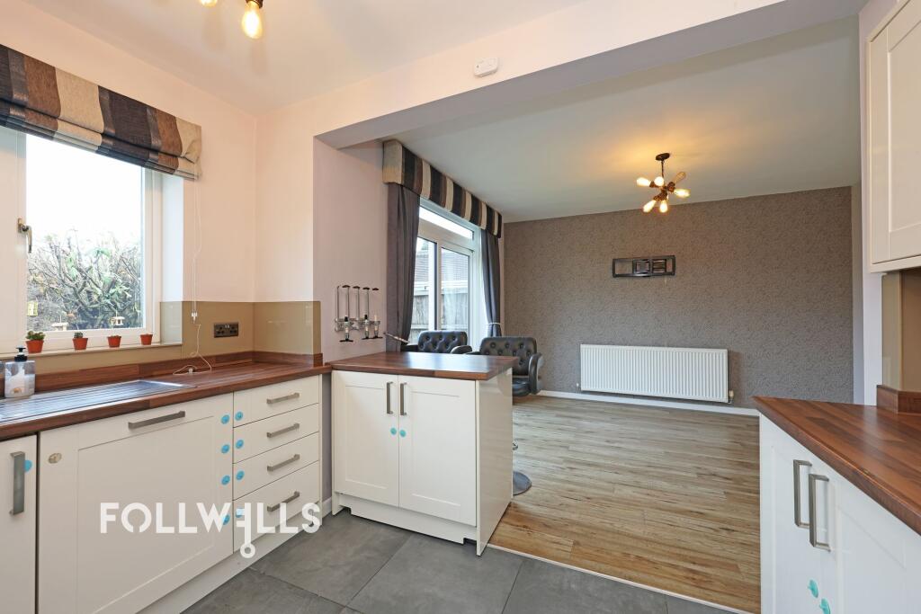
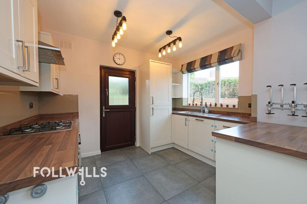
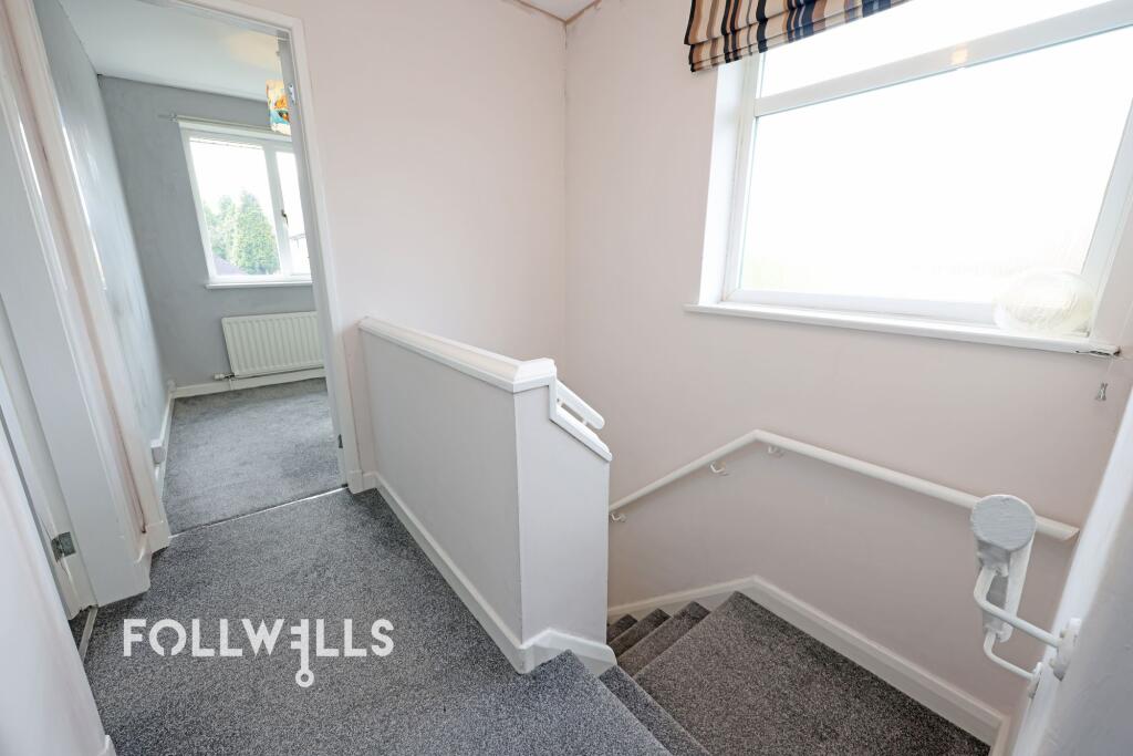
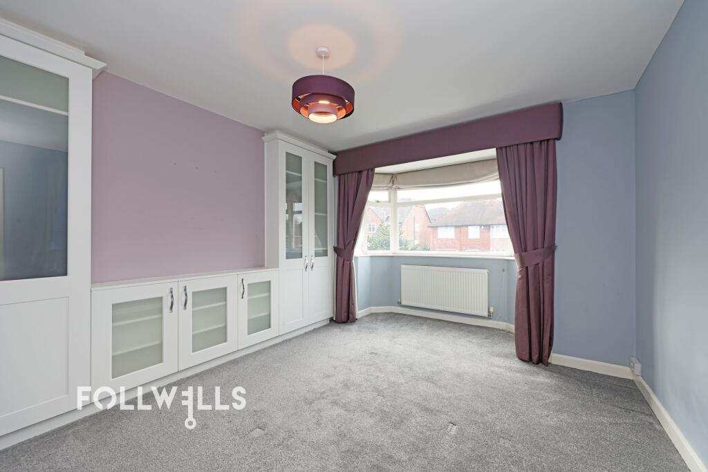
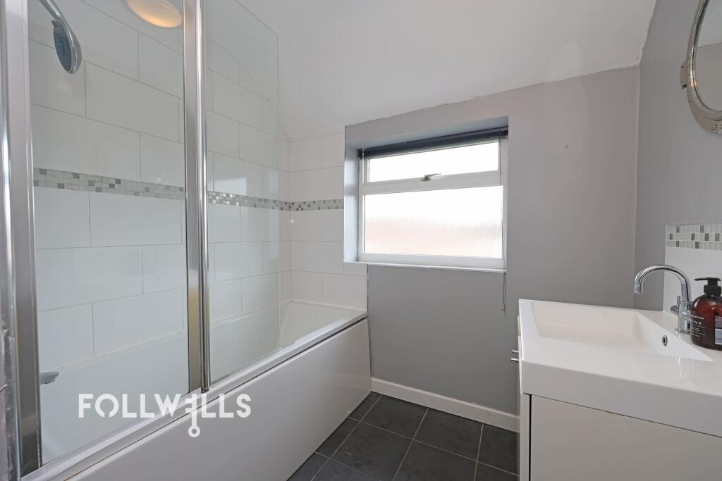
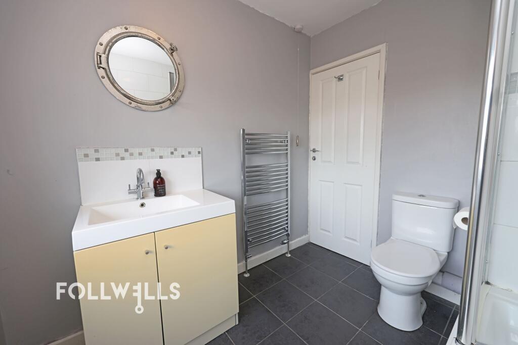
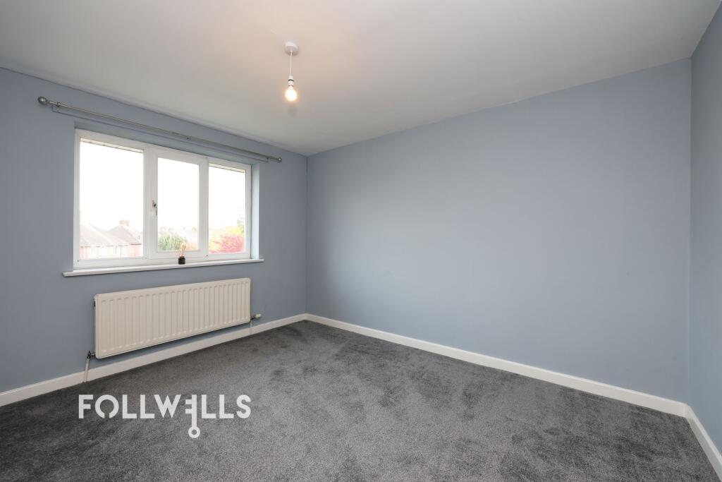
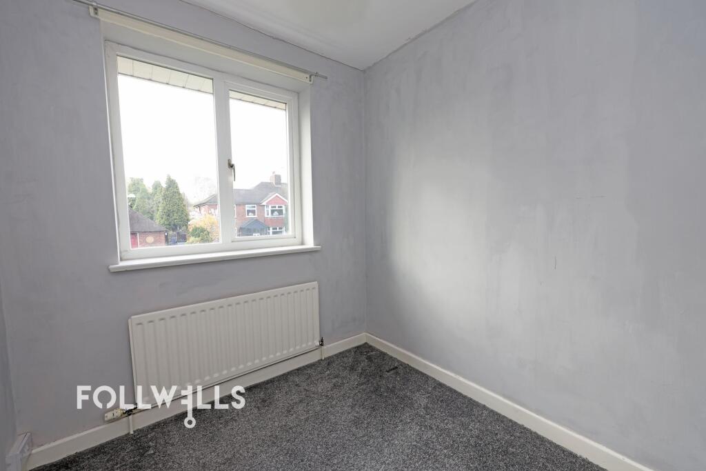
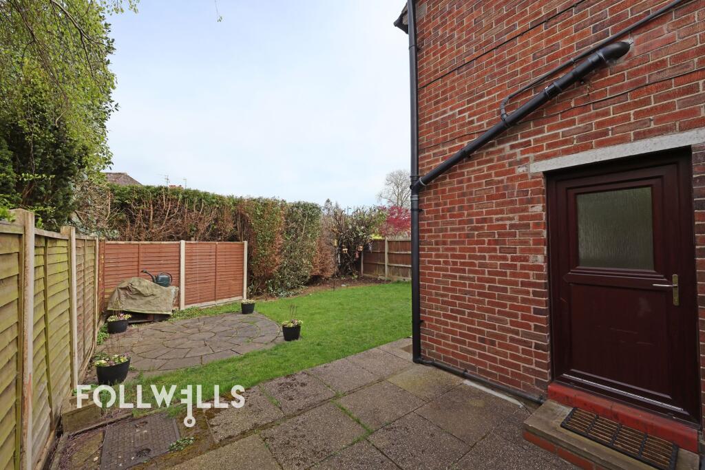
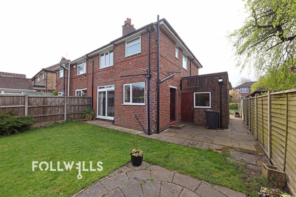
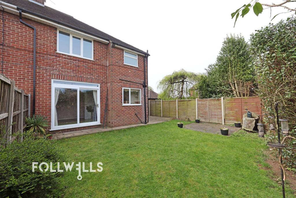
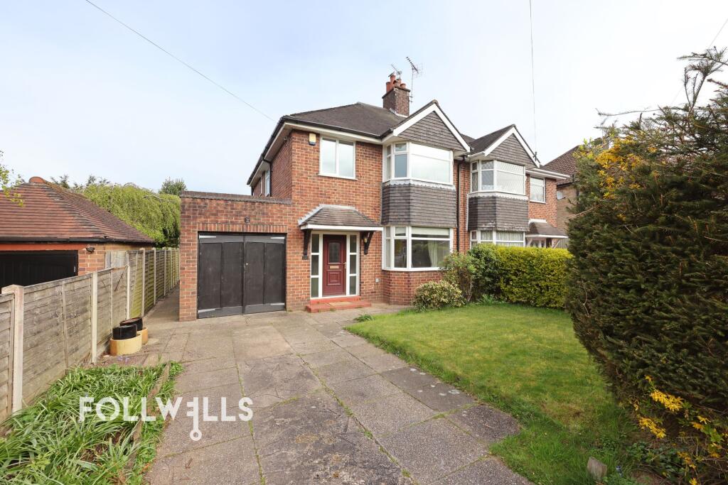
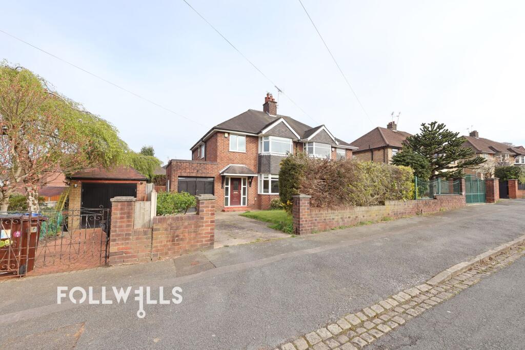
Photo 1 Photo 2 Photo 3 Photo 4 Photo 5 Photo 6 Photo 7 Photo 8 Photo 9 Photo 10 Photo 11 Photo 12 Photo 13 Photo 14 Photo 15 Photo 16 Photo 17 Photo 18 Photo 19
/ 19
Property details
Floor area
91 m²
Council tax band
C
Deprivation
Decile 4 (11,363 of 33,755)
Street crime
369 incidents within 1 mile (Aug 2026)
Key features
- Traditional Bay Fronted House
- Wide, Quiet Side Street
- Off-Road Parking And Single Garage
- Open Plan Dining Kitchen
- Popular Suburban Location
- Enclosed Rear Garden
- No Upward Chain
Additional details
- Parking
- Yes
- Garden
- Yes
- Restrictions
- No
- Rights of way
- No
- Flooded in last 5 years
- No
- Flood defences
- No
Description
The Crossway is conveniently located for local amenities being just a short walk from the Victoria Hotel, Brampton Park and less than a mile from Newcastle town centre. Excellent transport links are available via the nearby A34, A500 and Stoke train station.
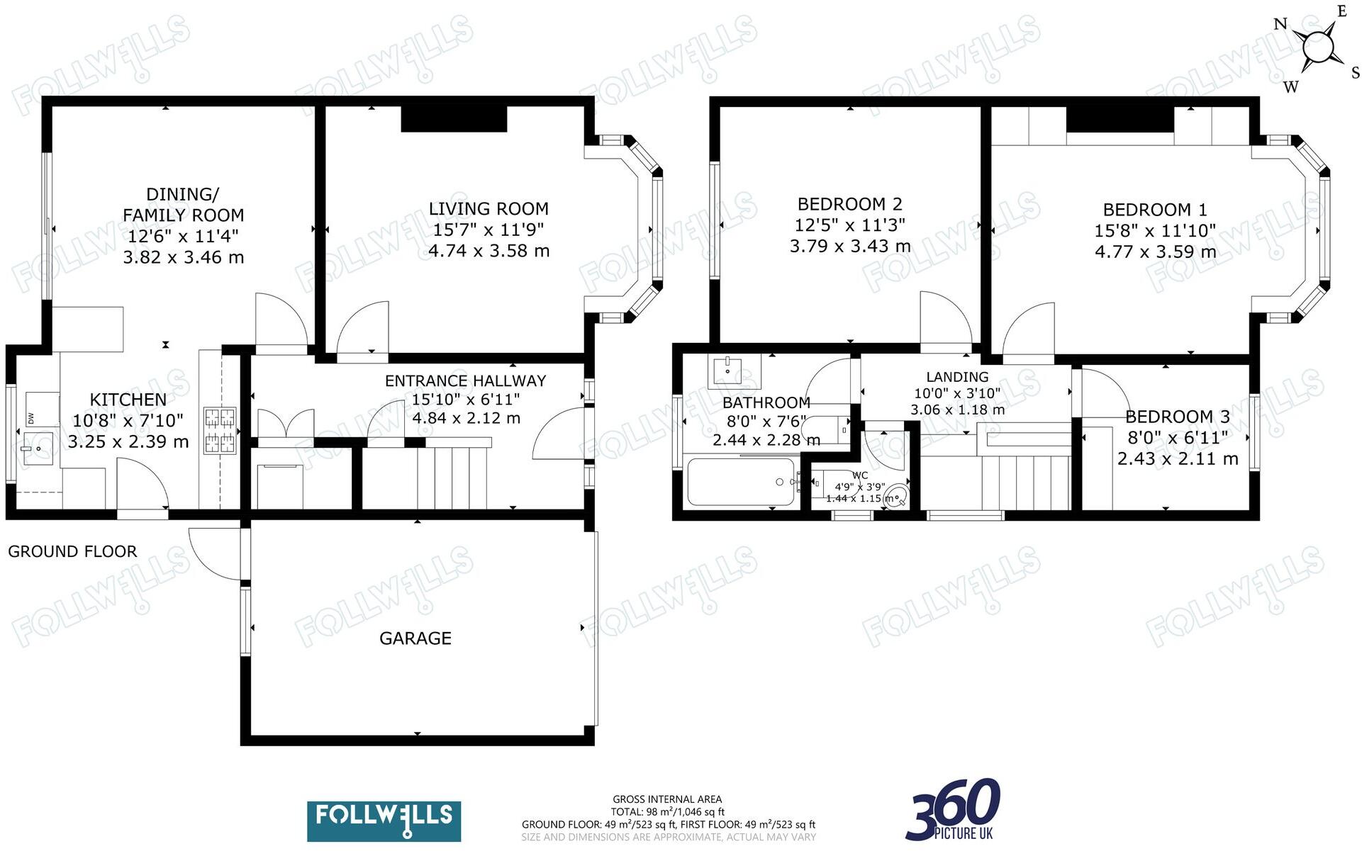
The accommodation comprises a reception hall with laminate flooring and stairs leading to the first floor having useful under stairs utility cupboard with plumbing for washing machine. A sitting room looks out to the front of the house with a wide bay window and connection for wall mounted TV. To the rear of the house is an open plan dining kitchen providing ample space for large table and chairs with sliding glass door opening to the rear garden. The kitchen area is fitted with wall and base units having integrated double electric oven, four ring gas hob with extractor hood over and integrated fridge/freezer. There is a further external door to the side of the property.
On the first floor a central landing gives access to three well proportioned bedrooms and the family bathroom. Bedroom one is a large double with bay window to the front elevation and fitted wardrobes. Bedroom two is also a spacious double room with bedroom three being a single and looking out to the front elevation. The bathroom is fitted with a suite providing shower over bath with glass screen, vanity wash basin and WC. There is also a useful second WC located next to the bathroom.
The property provides off-road parking on a flagged driveway which also leads to a single garage having double doors along with an access door to the rear. There is a front lawn with mature shrub borders and the rear garden offers a good degree of privacy being laid to lawn along with a paved seating area.
The property is offered for sale with no upward chain.
Please note the property was underpinned in 2016 and a certificate of structural adequacy is available upon request. We would recommend if you are subject to mortgage finance you consult your lender.
EPC Rating: D
Listed by
Newcastle-Under-Lyme
Follwells Ltd
Reference: 92940837
Flood risk
Zone: 1
Risk: Low
Job (default Low)
Registered land (INSPIRE)
This location falls inside an HM Land Registry INSPIRE registered freehold polygon.
Plot: ~260 m² (0.06 acres)
Source: HM Land Registry INSPIRE Index Polygons.
Floorplans
All
EPC Graphs
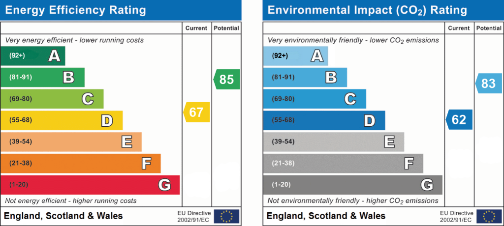
EPC 1
Rental Range
Estimated market rent for Newcastle-under-Lyme. Low = conservative, Realistic = average, Optimistic = best case.
Based on Local Authority from postcode lookup → Newcastle-under-Lyme.
LHA (30th percentile) floor for Staffordshire North: £593/mo (Apr 2025 – Mar 2026)
Location
Nearby
Nearest stations, universities and amenities (distance from property).
| Type | Name | Distance |
|---|---|---|
| Bus stop | The Crossway | 0.1 miles |
| Bus stop | May Avenue | 0.1 miles |
| Shop | Betd | 0.4 miles |
| Shop | Morrisons Daily | 0.4 miles |
| Hospital | Royal Stoke University Hospital | 1.4 miles |
| Train station | Longport | 1.4 miles |
| Train station | Stoke-on-Trent | 1.9 miles |
| Hospital | North Staffordshire Hospital | 2.4 miles |
| University | Keele University | 2.6 miles |
| University | University of Buckingham Crewe Campus | 9.7 miles |
Street-level crime
| Category | Count |
|---|---|
| Violence and sexual offences | 117 |
| Anti-social behaviour | 96 |
| Shoplifting | 40 |
| Criminal damage and arson | 27 |
| Public order | 22 |
| Other theft | 19 |
| Drugs | 12 |
| Burglary | 8 |
| Other crime | 8 |
| Vehicle crime | 8 |
| Bicycle theft | 4 |
| Robbery | 4 |
| Possession of weapons | 3 |
| Theft from the person | 1 |
| Total incidents | 369 |
Within 1 mile during Aug 2026. Source: data.police.uk (England & Wales).
Schools nearby
Nearest open schools with Ofsted ratings (England). Closed schools are not shown. Data from Get Information about Schools and Ofsted.
| Name | Type | Distance | Ofsted |
|---|---|---|---|
| May Bank Infants' School | Primary | 0.3 miles | Good — 21 Jan 2024 |
| Hempstalls Primary School | Primary | 0.3 miles | — (Inspected (no overall grade)) |
| Merryfields School | Other | 0.3 miles | Good — 30 Apr 2014 |
| The Orme Academy | Secondary | 0.4 miles | Good — 9 Jul 2024 |
| St Margaret's CofE (VC) Junior School | Primary | 0.5 miles | Good — 1 May 2014 |
Rental Comparables
Residential lets from OpenRent and Rightmove for the area (same bedroom count). Use to validate rent estimates. Student lets are excluded.
Average rent: £950/mo (34 listings)