Stanley Road
Hartshill, ST4, ST4 7PW
£750 pcm
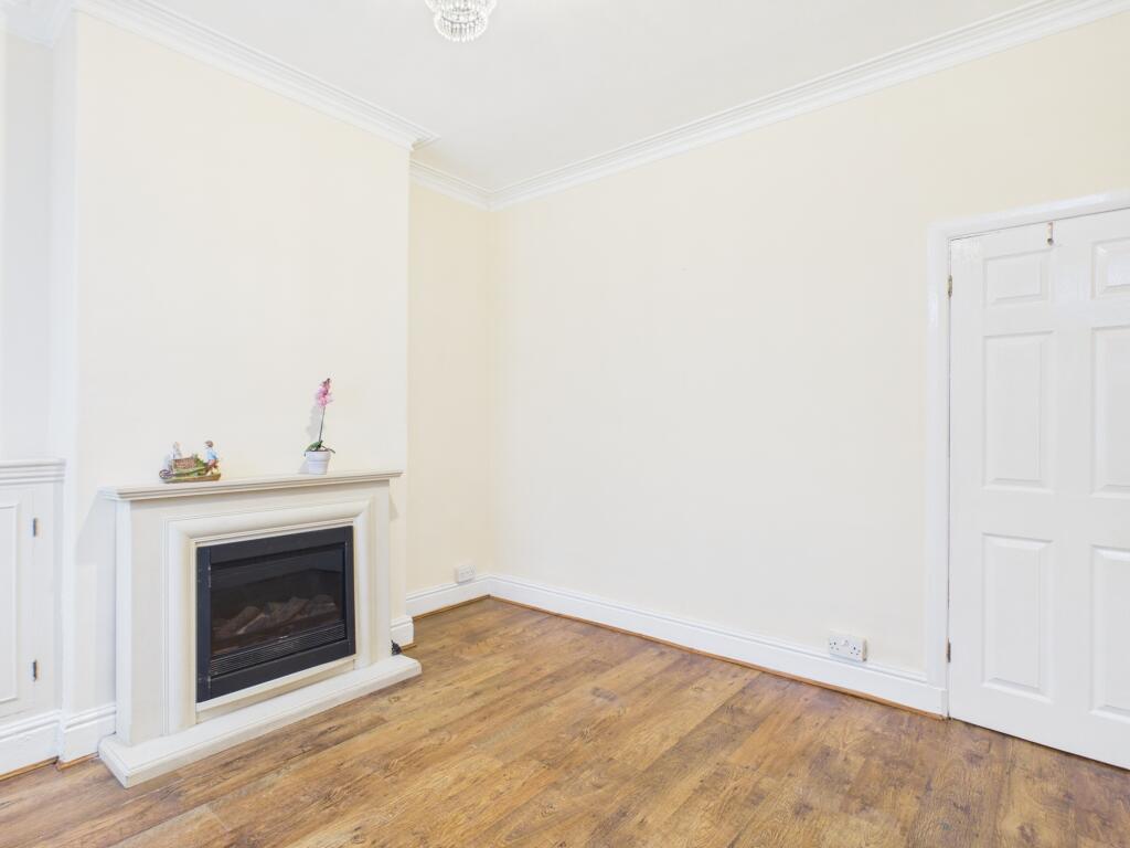
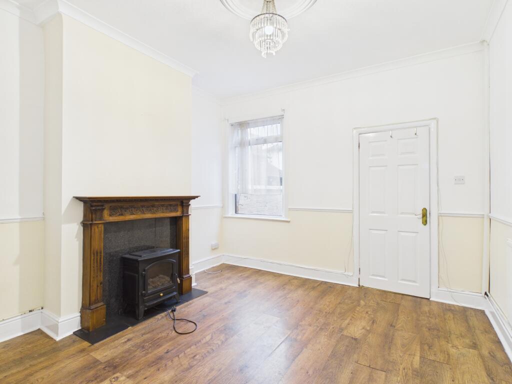
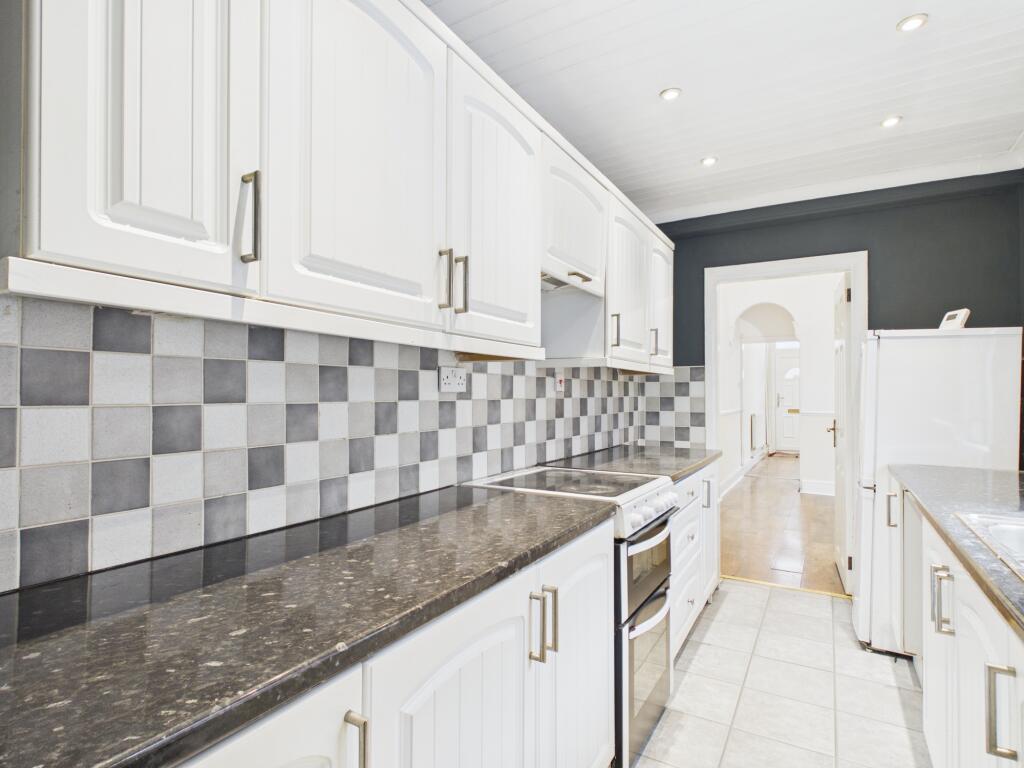
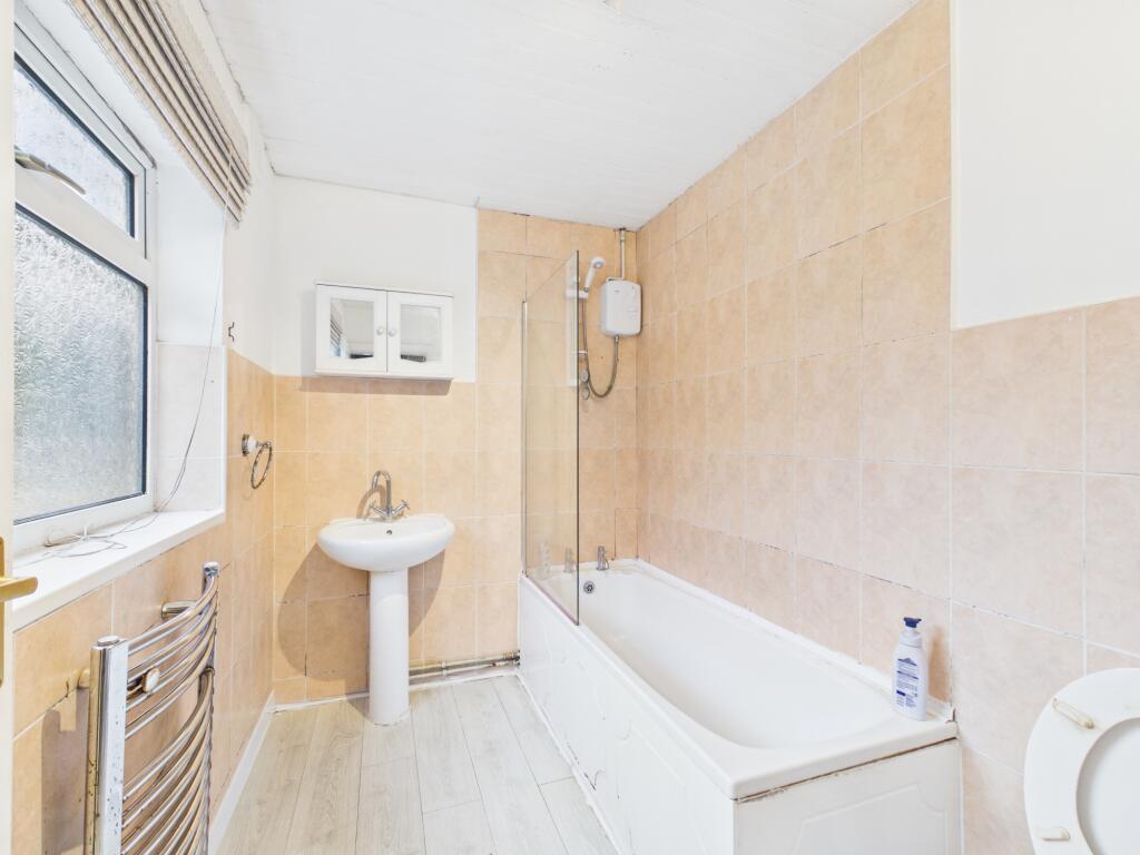
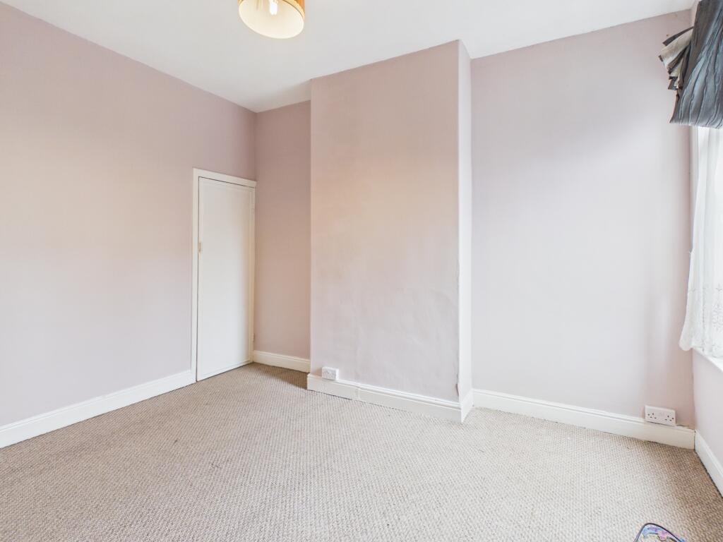
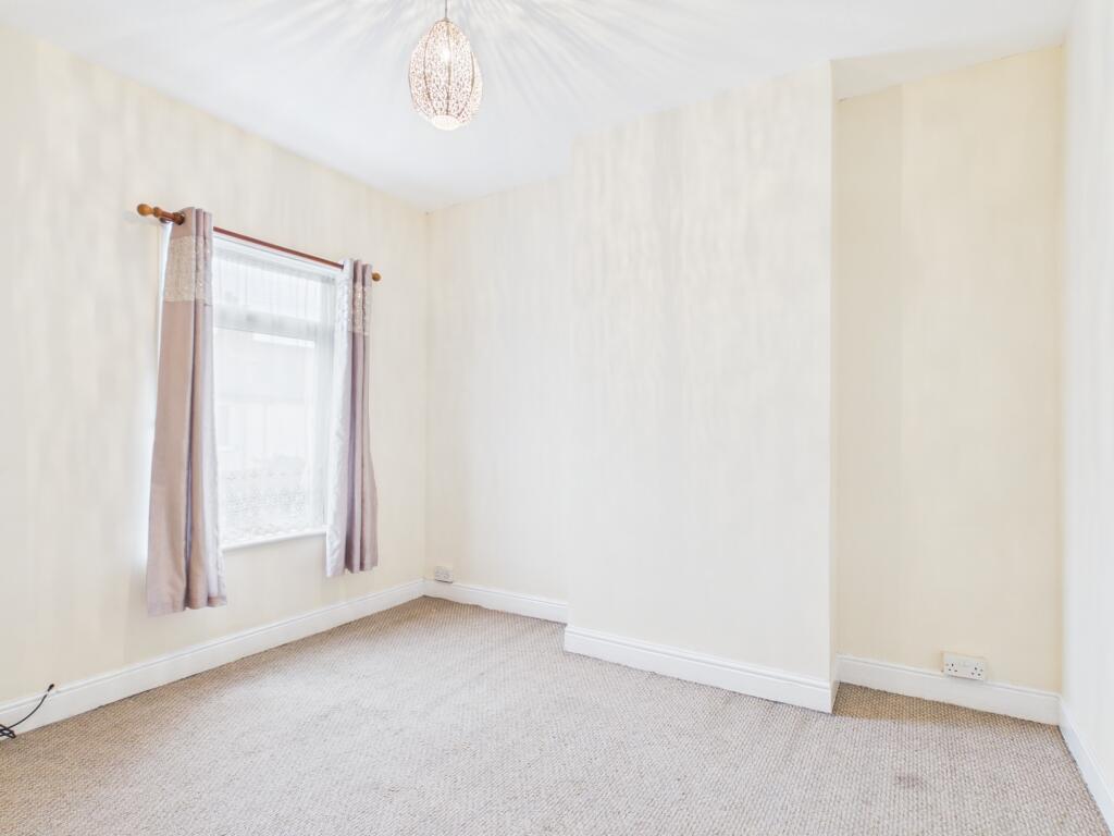
Photo 1 Photo 2 Photo 3 Photo 4 Photo 5 Photo 6
/ 6
Property details
Council tax band
A
Deprivation
Decile 4 (11,573 of 33,755)
Street crime
457 incidents within 1 mile (Aug 2026)
Additional details
- Heating
- Gas central
- Parking
- On street
- Garden
- Private garden
- Listed property
- No
Description
Both bedrooms afford well-sized spaces, making them suitable for restful retreats and flexible to a range of furnishing options. The property is fitted with gas central heating, ensuring warmth and efficiency throughout the year. A notable highlight of this home is the private garden, providing an outdoor sanctuary ideal for relaxation or enjoying al fresco moments. Parking is available on the street, supplying convenient access for residents and visitors alike.
The property is offered at a deposit of £865 and will be available to let from 28 October 2026.
Local area
Situated within Hartshill, Staffordshire, this property enjoys an accessible location with proximity to a range of local amenities and services. The area is known for its established residential character, blending community appeal with ease of access to essential facilities and public transport connections. Hartshill offers a balanced environment, combining residential tranquillity with access to transport links and local shops, catering well to varied lifestyle requirements. EPC rating: D.
Listed by
Stoke-on-Trent
The Property Franchise Group
Reference: 94797504
EPC ratings on this postcode
We don't have a matched EPC for this property yet. Below are efficiency scores and details for other addresses on this postcode.
| Address | Current | Potential | Floor area | Age band | Type |
|---|---|---|---|---|---|
| 11 Stanley Road, STOKE-ON-TRENT | 66 | 79 | 86 m² | England and Wales: 1930-1949 | Terraced |
| 15, Stanley Road, STOKE-ON-TRENT | 69 | 85 | 73 m² | England and Wales: before 1900 | Terraced |
| 17 Stanley Road, STOKE-ON-TRENT | 72 | 87 | 70 m² | England and Wales: 1900-1929 | Terraced |
| 19 Stanley Road, STOKE-ON-TRENT | 66 | 84 | 72 m² | England and Wales: 1900-1929 | Terraced |
| 21, Stanley Road, STOKE-ON-TRENT | 49 | 70 | 70 m² | England and Wales: 1900-1929 | Terraced |
| 23 Stanley Road, STOKE-ON-TRENT | 71 | 88 | 68 m² | England and Wales: before 1900 | Terraced |
| 25 Stanley Road, STOKE-ON-TRENT | 70 | 79 | 68 m² | England and Wales: 1900-1929 | Terraced |
| 27, Stanley Road, STOKE-ON-TRENT | 60 | 81 | 69 m² | England and Wales: 1900-1929 | Terraced |
| 29 Stanley Road, STOKE-ON-TRENT | 69 | 84 | 72 m² | England and Wales: 1930-1949 | Terraced |
| 3, Stanley Road, STOKE-ON-TRENT | 70 | 82 | 99 m² | England and Wales: before 1900 | Terraced |
| 31 Stanley Road, STOKE-ON-TRENT | 58 | 78 | 71 m² | England and Wales: 1930-1949 | Terraced |
| 33 Stanley Road, STOKE-ON-TRENT | 62 | 82 | 74 m² | England and Wales: 1900-1929 | Terraced |
| 33 Stanley Road, STOKE-ON-TRENT | 41 | 87 | 64 m² | England and Wales: 1900-1929 | Terraced |
| 37, Stanley Road, STOKE-ON-TRENT | 44 | 82 | 73 m² | England and Wales: 1900-1929 | Terraced |
| 39, Stanley Road, STOKE-ON-TRENT | 58 | 75 | 72 m² | England and Wales: 1900-1929 | Terraced |
Flood risk
Zone: 1
Risk: Low
Job (default Low)
Registered land (INSPIRE)
This location falls inside an HM Land Registry INSPIRE registered freehold polygon.
Plot: ~78 m² (0.02 acres)
Source: HM Land Registry INSPIRE Index Polygons.
Floorplans
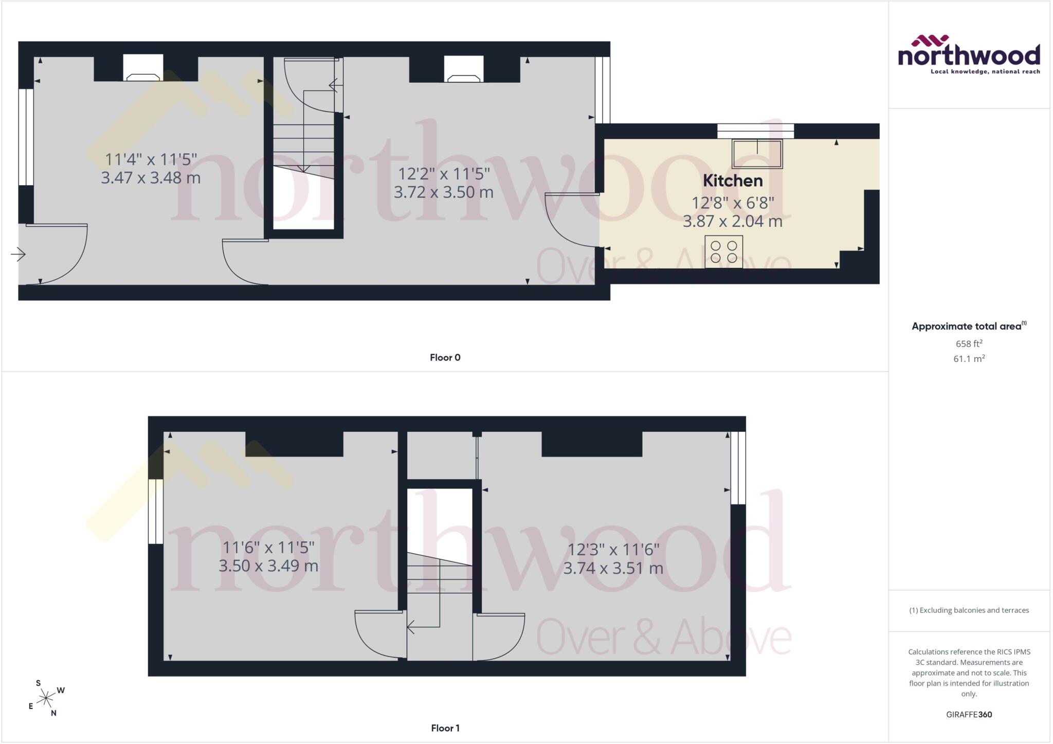
Floorplan
EPC Graphs
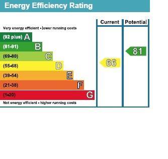
EPC Graph
Rental Range
Estimated market rent for Stoke-on-Trent. Low = conservative, Realistic = average, Optimistic = best case.
Based on Local Authority from postcode lookup → Stoke-on-Trent.
LHA (30th percentile) floor for Staffordshire North: £479/mo (Apr 2025 – Mar 2026)
Location
Address
Stanley Road
Nearby
Nearest stations, universities and amenities (distance from property).
| Type | Name | Distance |
|---|---|---|
| Bus stop | Hartshill Road, opposite Victoria Street | 0.1 miles |
| Shop | Co-op Food | 0.1 miles |
| Bus stop | Hartshill Road, opposite Nelson Road | 0.2 miles |
| Shop | Hartshill Cycles | 0.2 miles |
| Hospital | Royal Stoke University Hospital | 0.6 miles |
| Train station | Stoke-on-Trent | 1.1 miles |
| Hospital | North Staffordshire Hospital | 1.7 miles |
| Train station | Longport | 2.2 miles |
| University | Keele University | 2.7 miles |
| University | Buxton & Leek College | 10.2 miles |
Street-level crime
| Category | Count |
|---|---|
| Violence and sexual offences | 171 |
| Anti-social behaviour | 99 |
| Criminal damage and arson | 31 |
| Public order | 28 |
| Other theft | 25 |
| Drugs | 24 |
| Shoplifting | 24 |
| Burglary | 13 |
| Other crime | 11 |
| Vehicle crime | 9 |
| Bicycle theft | 7 |
| Robbery | 7 |
| Theft from the person | 5 |
| Possession of weapons | 3 |
| Total incidents | 457 |
Within 1 mile during Aug 2026. Source: data.police.uk (England & Wales).
Schools nearby
Nearest open schools with Ofsted ratings (England). Closed schools are not shown. Data from Get Information about Schools and Ofsted.
| Name | Type | Distance | Ofsted |
|---|---|---|---|
| Harpfield Primary Academy | Primary | 0.2 miles | Good — 10 Feb 2015 |
| Newcastle-under-Lyme School | Other | 0.4 miles | — (No rating) |
| St Thomas Aquinas Catholic Primary School | Primary | 0.4 miles | Good — 15 Jan 2023 |
| Lyme Brook Independent School | Other | 0.4 miles | Good — 22 Oct 2023 |
| Demetae Academy | Other | 0.5 miles | Good — 30 Jun 2022 |
Rental Comparables
Residential lets from OpenRent and Rightmove for the area (same bedroom count). Use to validate rent estimates. Student lets are excluded.
Average rent: £867/mo (59 listings)
Enter House Number
Enter the house number to help us retrieve more accurate pricing history and property data.
Please log in to submit or correct the house number for this listing.
Log in to continue