Glebe Farm | Whole
Oxcombe Road, Belchford, Horncastle, LN9, LN9 6LS

Property details
Tenure
FREEHOLD
Council tax band
E
Local average
£309,602 (+4486.5%)
Deprivation
Decile 5 (14,767 of 33,755)
Street crime
2 incidents within 1 mile (Aug 2026)
Key features
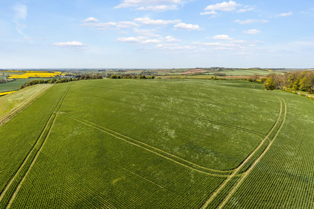
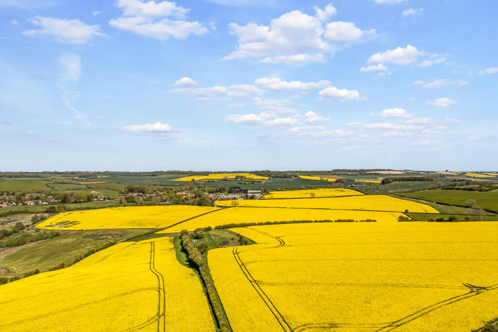
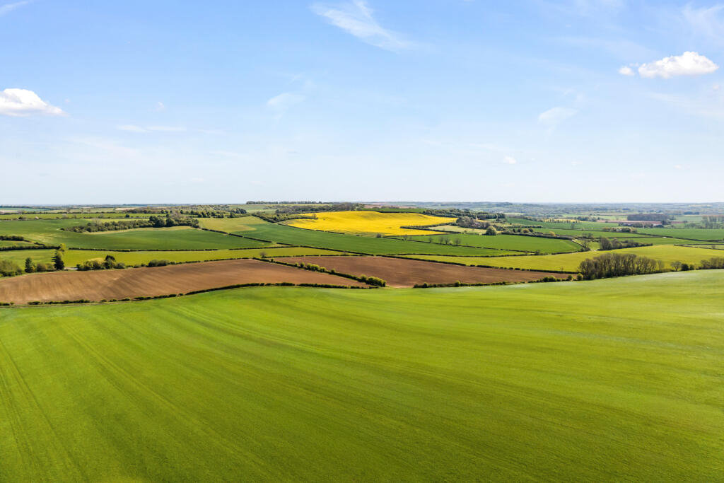
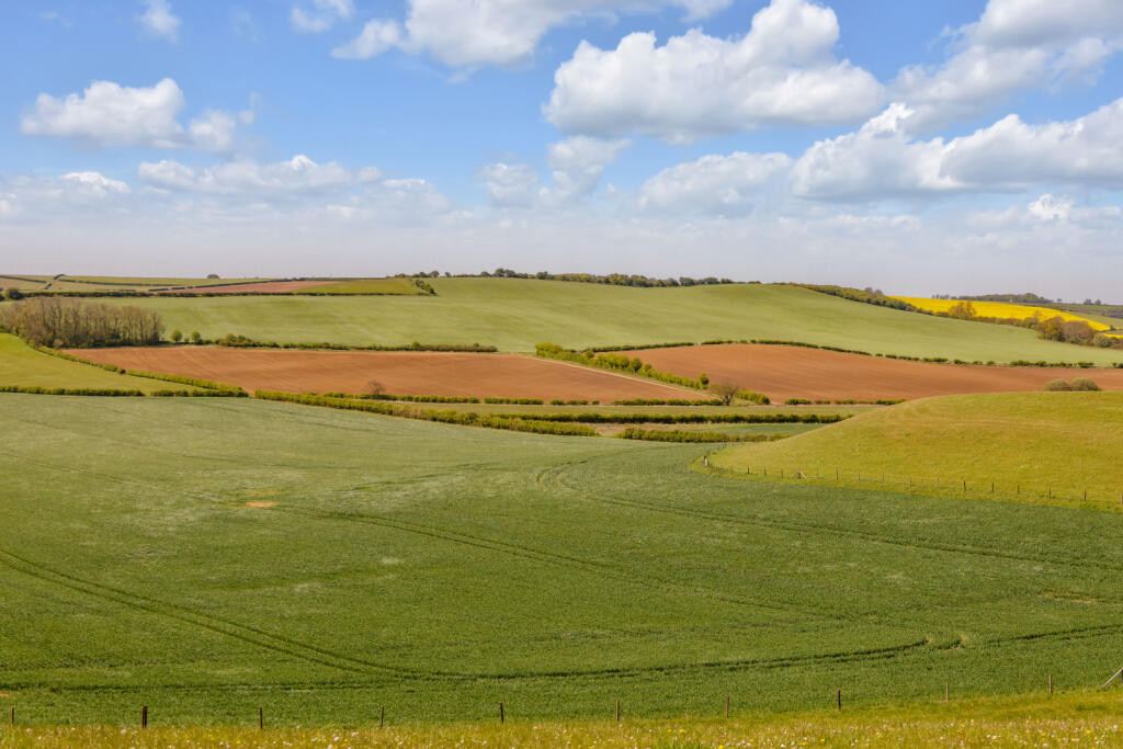
- Largely ring fenced productive and versatile arable land in the attractive Lincolnshire Wolds
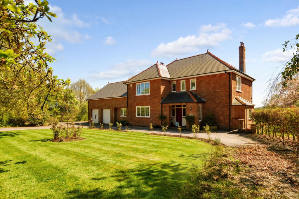
- Principal five bedroom main farmhouse
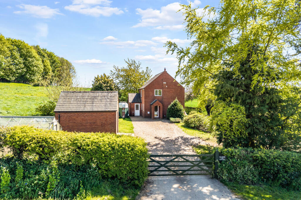
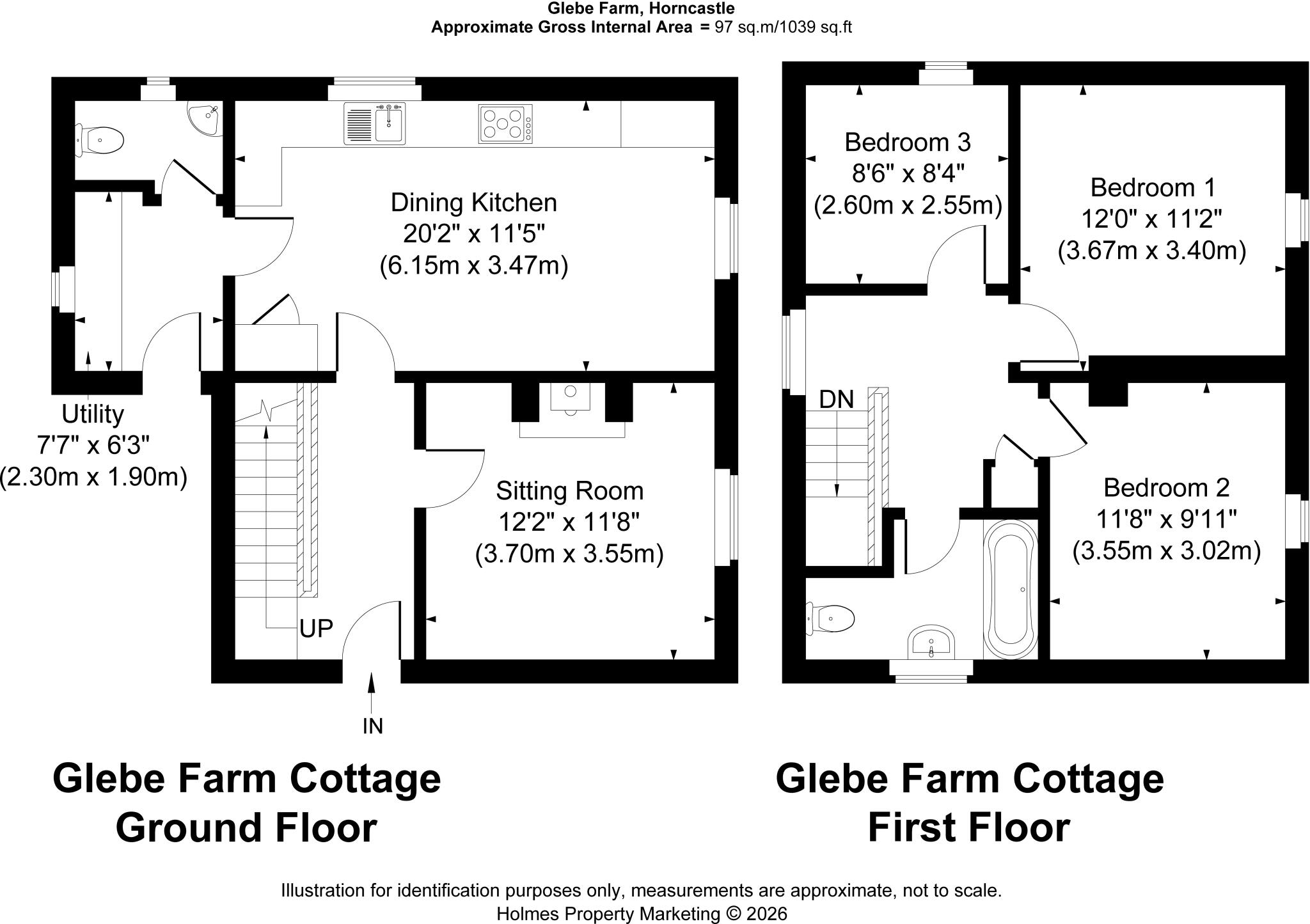
- Secondary three bedroom farm cottage
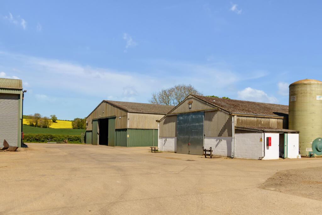
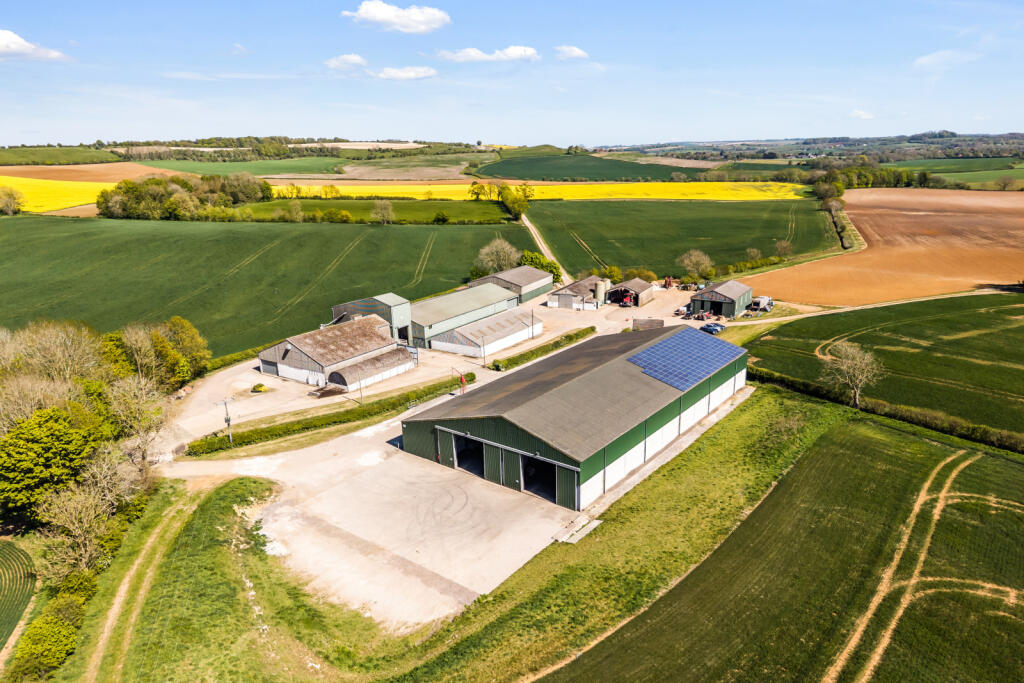
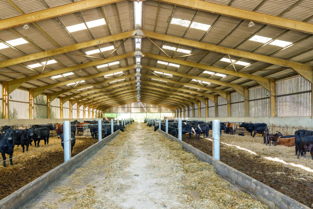
- Range of modern farm buildings centrally located with significant grain storage for 9,900 tonnes
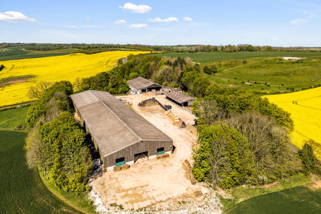
- Separate substantial livestock yard
- Potential to establish and operate a successful shoot across the land
- EPC Rating = D
Additional details
- Garden
- Yes
Description
Description
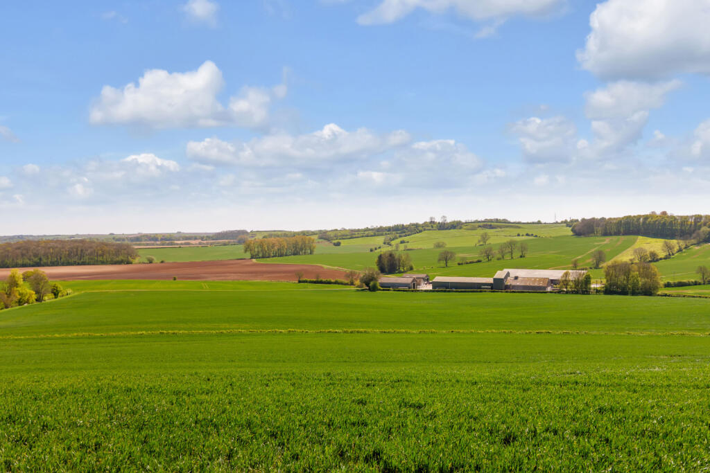
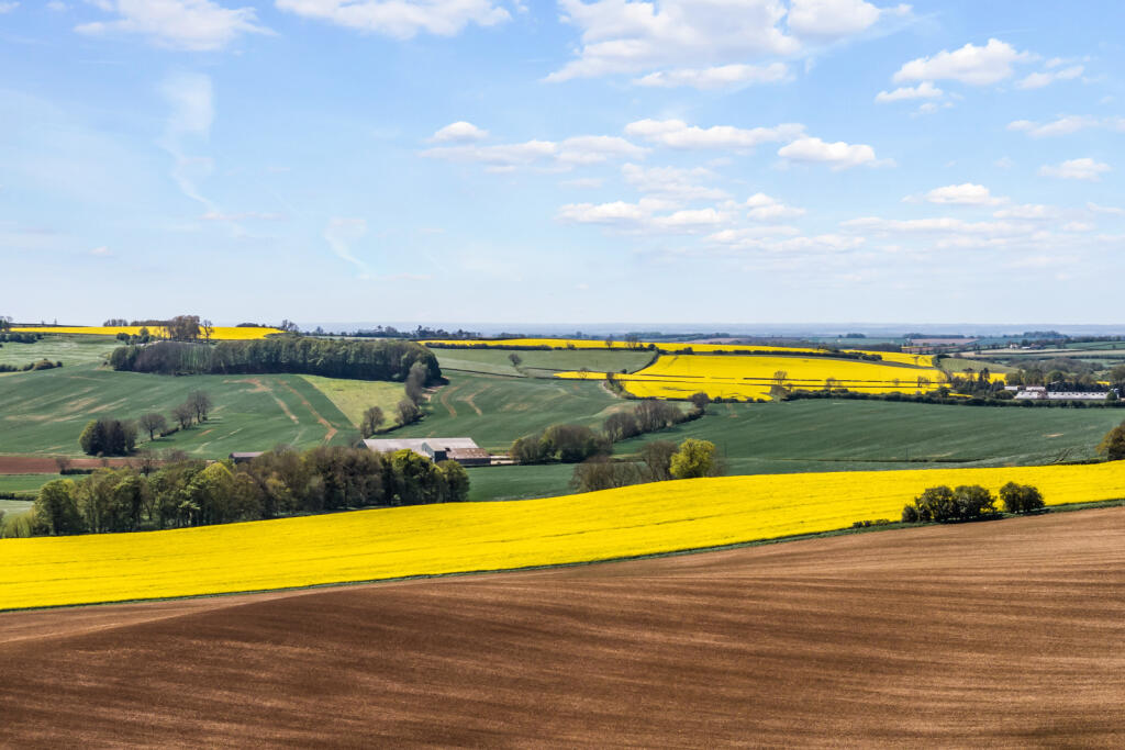
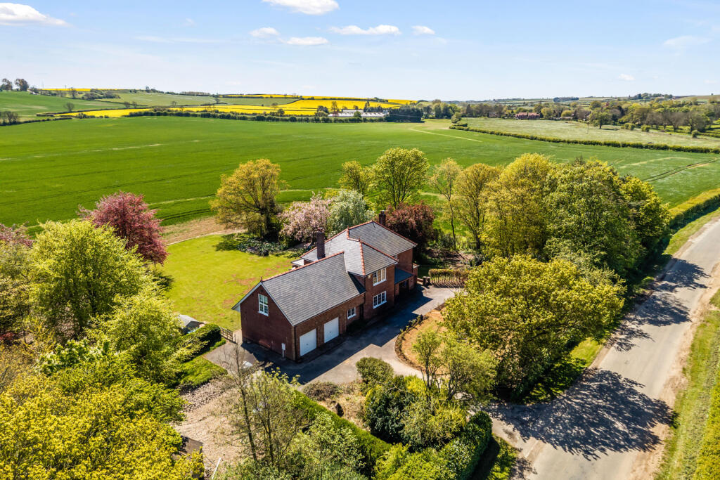
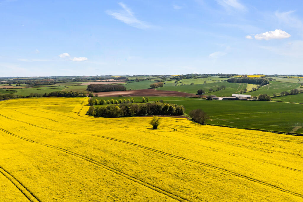
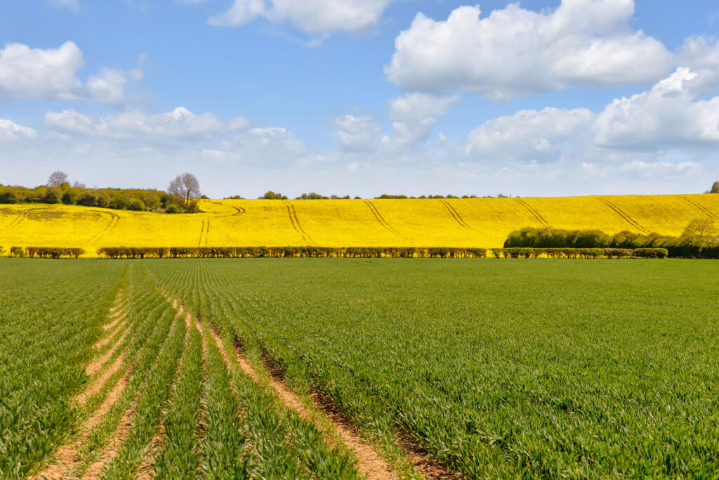
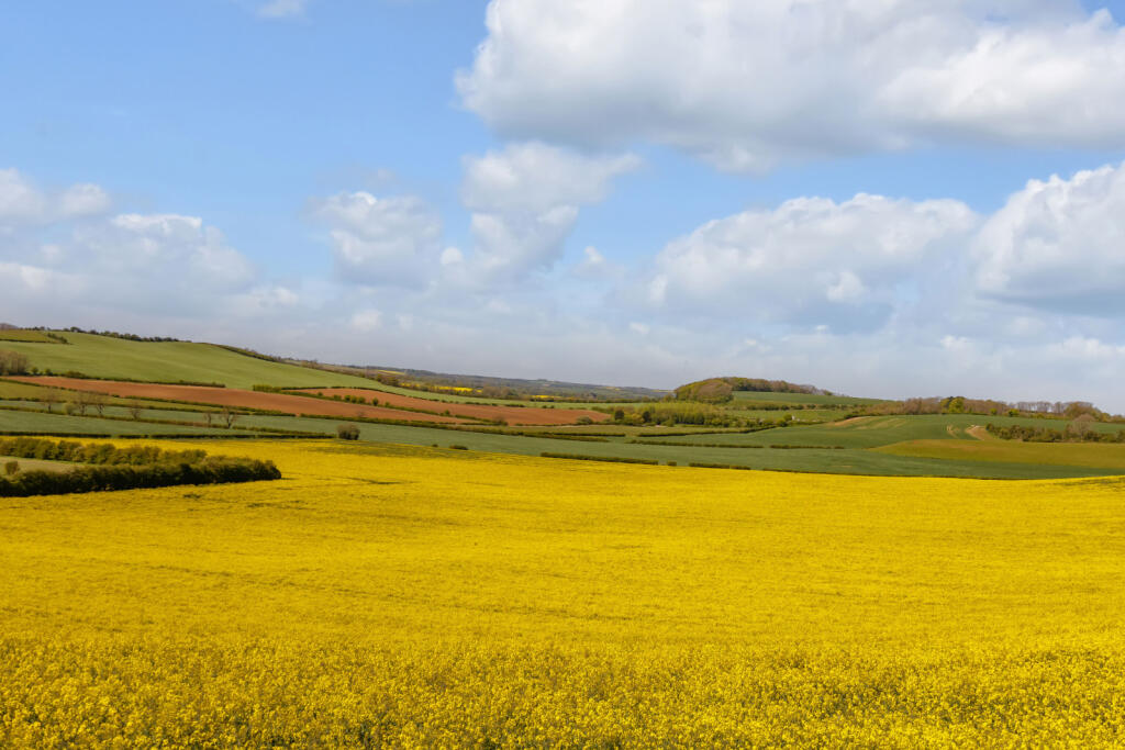
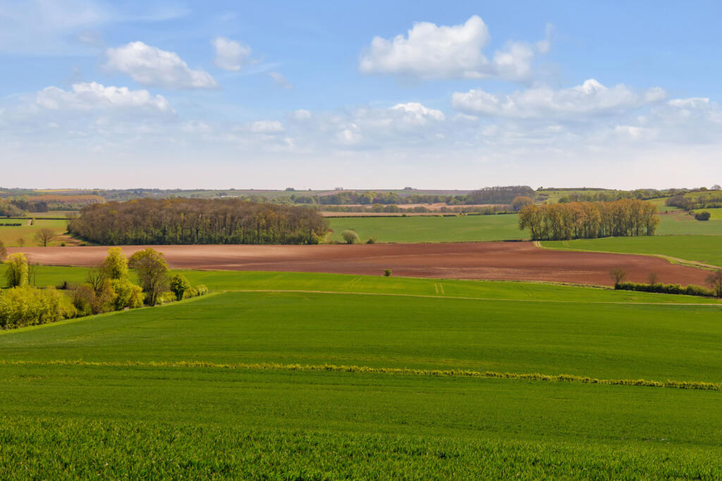
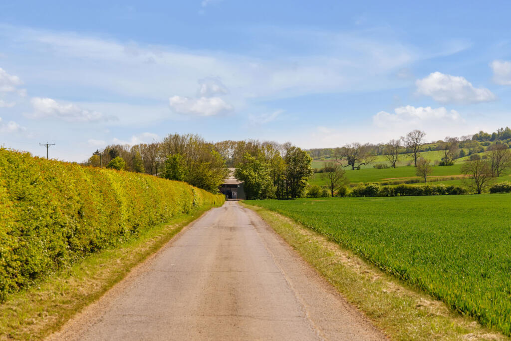
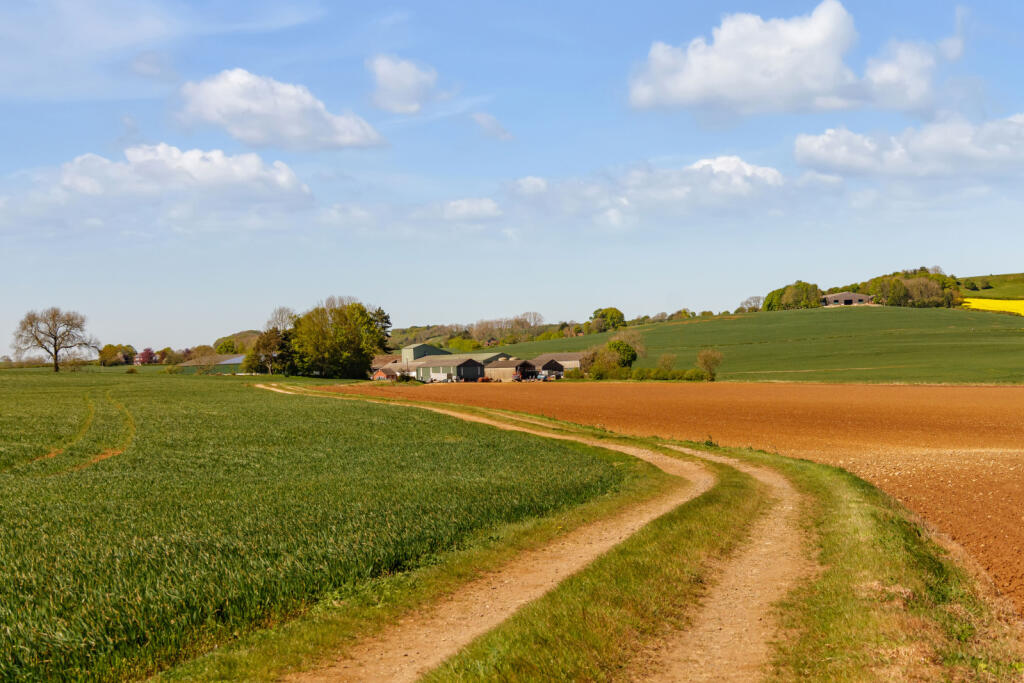
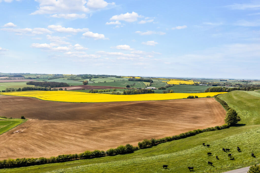
Glebe Farm, near the village of Belchford in the Lincolnshire Wolds, is a well-managed, ring-fenced farming unit extending to approximately 1285.77 acres (520.35 hectares). The farm comprises a productive mix of arable land and temporary grass leys, with small areas of permanent grass and woodland adding environmental and amenity value. Rolling topography and far-reaching views underline the quality of its setting within this highly regarded farming region.
The business benefits from a strong and modern infrastructure, with two separate farmyards serving arable and livestock enterprises. The principal arable yard provides around 9,900 tonnes of grain storage, supported by a central continuous-flow drying system. The largest store, with capacity for 5,000 tonnes, is currently operated under contract for oilseed storage. Farm buildings across the holding are built to a high specification and reflect the professional standards evident throughout the business.
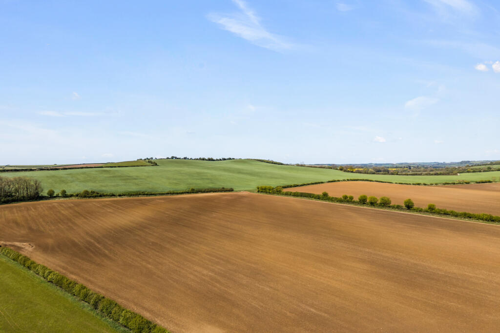
Soils vary across the holding, with chalky soils on higher ground, heavier loams in the valley bottoms and sandy loams to the south, providing flexibility for a diverse cropping rotation. The majority of the land is currently in arable production or down to temporary grass leys to work with the mixed farming operations.
The fields are all a good size, regular shape, suitable for modern farm machinery and efficient farming operations. All fields benefit from good drainage, through extensive field drainage system. This combined with high-quality land management, has supported strong average yields for a number of years.
Residential accommodation includes a well-maintained farmhouse and a detached cottage let on an Assured Shorthold Tenancy. Opportunities of this scale and quality are rarely available in the Lincolnshire Wolds, with Glebe Farm standing out for its combination of location, infrastructure, management and long-term potential.
Lot One - Northern Block
In all about 464.35 acres (187.91 hectares)
The farmland within Lot One comprises predominantly arable land situated north of Oxcombe Road and west of the Bluestone Heath Road, running to the north of Belchford. With rolling topography, large field sizes and a good network of internal farm tracks, which provides efficient access throughout the lot. The land is of a rolling attractive nature, comprising mostly arable fields, interspersed by small areas of permanent pasture on the steeper ground.
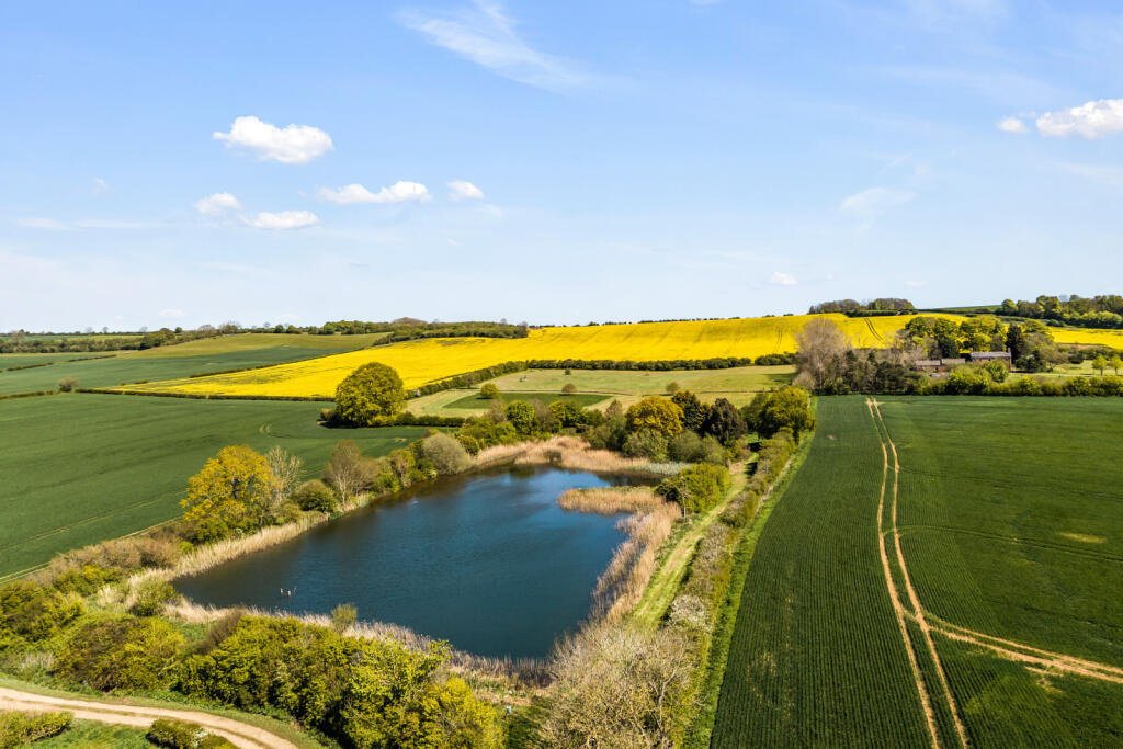
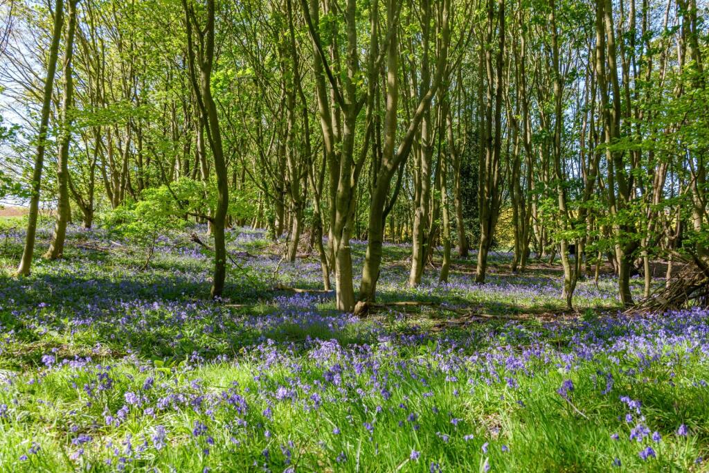
In total, the land extends to 464.35 acres (187.91 hectares), including 438.48 acres (177.45 hectares) of arable land, 5.94 acres (2.40 hectares) of woodland, and 11.12 acres (4.50 hectares) of pasture and rough grazing, together with 8.81 acres (3.56 hectares) of tracks, bodies of water and other miscellaneous areas. The land is classified as Grade 3.
Lot Two - Central Block, Two Farmyards and Residential Properties
In all about 641.71 acres (259.69 hectares)
Avoca House - five bedroom detached property.
Glebe Farm Cottage - three bedroom detached property.
There are two sets of farm yards on the farm, one for cattle and the other for the arable farming operations. Both yards have been expanded under the vendors ownership and have benefited from investment in recent times.
The farmland within Lot Two comprises a classic rolling Lincolnshire Wolds landscape, arranged in good-sized, workable fields that lend themselves well to modern agricultural operations. A farm track leads from east to west through the holding allowing for excellent access across the land. The track runs from Oxcombe Road through the holding and then exits onto a public highway in the east.
In total, the land extends to 641.71 acres (259.69 hectares), including 588.85 acres (238.30 hectares) of arable land, 18.22 acres (7.37 hectares) of woodland, and 18.67 acres (7.55 hectares) of pasture and rough grazing, together with 15.97 acres (6.46 hectares) of yards and miscellaneous areas. The land is classified as Grade 3.
Lot Three - Western Block
In all about 179.71 acres (72.73 hectares)
The farmland within Lot Three comprises the land situated to the west of Furlongs Lane to the south of Belchford. As with lots one and two the fields are of a good workable size, with good access and tracks which lend themselves well to modern agricultural operations.
In total, the land extends to 179.71 acres (72.73 hectares), including 155.33 acres (62.86 hectares) of arable land, 1.29 acres (0.52 hectares) of woodland, and 21.66 acres (8.76 hectares) of pasture and rough grazing, together with 1.43 acres (0.58 hectares) of tracks, pads and miscellaneous areas. The land is classified as Grade 3.
Location
Belchford lies within the rolling landscape of the Lincolnshire Wolds, an Area of Outstanding Natural Beauty renowned for its undulating hills, open countryside and unspoilt rural character. Positioned on the edge of the Wolds, the property enjoys far reaching views and peaceful setting whilst remaining accessible to a range of nearby market towns.
Situated between the charming villages of Belchford and Tetford, both of which contribute to the area’s strong sense of community and rural appeal. These neighbouring villages offer a traditional village atmosphere with local amenities including a well regarded public house in Belchford.
The historic market towns of Horncastle and Louth lie within easy reach and provide comprehensive range of amenities including antique stores, galleries, hotels, pubs, restaurants, post office, supermarkets, banks and GP surgeries. To the west, the county city of Lincoln offers an extensive array of shopping, cultural and leisure facilities, together with its renowned cathedral.
The wider area is well connected, with road links via the A16 and A158 providing access across the county, while rail services from Lincoln offer connections to London and other major cities.
Locally the surrounding countryside provides a wealth of outdoor and leisure pursuits including nearby, motor racing at Cadwell Park Circuit, horse racing at Market Rasen, Polo at Leadenham Polo Club, as well as hiking and cycling across the Wolds, together with access to the nearby Lincolnshire coastline. The area is well regarded for country sports and traditional past times.
There are a good selection of schools in the area, including primary schools, The Edward Richardson and Scamblesby Church of England. Well regarded secondary schools can be found at Queen Elizabeth’s Grammar Schools in Horncastle and Alford respectively. In addition there are a number of respected independent schools within reach including St Hugh’s School and Lincoln Minster School.
Disclaimer: All journey times and distance are approximate.
Square Footage: 1,039 sq ft
Acreage: 1285.77 Acres
Additional Info
Services at Avoca House: Spring fed water, Septic tank, Mains Electricity, Oil Fired Heating.
Services at Glebe Cottage: Mains water, Septic tank, Mains Electricity, Oil Fired Heating.
The sewerage system is not compliant which is connected to the farm office.
Local Authority: East Lindsey District Council
Council Tax Band: Avoca House - E. Glebe Cottage - B
EPC Rating: Avoca House - D. Glebe Cottage - D
Photographs: April 2026
Particulars: May 2026
Listed by
Lincoln
Savills
Reference: 88575183
EPC ratings on this postcode
We don't have a matched EPC for this property yet. Below are efficiency scores and details for other addresses on this postcode.
| Address | Current | Potential | Floor area | Age band | Type |
|---|---|---|---|---|---|
| Avoca House, Oxcombe Road, Belchford, HORNCASTLE | 58 | 81 | 283 m² | England and Wales: 1950-1966 | Detached |
| Glebe Farm Cottage, Oxcombe Road, Belchford, HORNCASTLE | 60 | 90 | 95 m² | England and Wales: 1991-1995 | Detached |
| Pinecroft, Oxcombe Road, Belchford, HORNCASTLE | 39 | 71 | 155 m² | England and Wales: 1976-1982 | Detached |
| Tree Tops, Oxcombe Road, Belchford, HORNCASTLE | 51 | 73 | 93 m² | England and Wales: 1967-1975 | Detached |
| Tree Tops, Oxcombe Road, Belchford, HORNCASTLE | 49 | 97 | 94 m² | England and Wales: 1967-1975 | Detached |
Flood risk
Zone: 1
Risk: Low
Job (default Low)
Registered land (INSPIRE)
This location falls inside an HM Land Registry INSPIRE registered freehold polygon.
Plot: ~42,819 m² (10.58 acres)
Source: HM Land Registry INSPIRE Index Polygons.
Floorplans
Floorplan
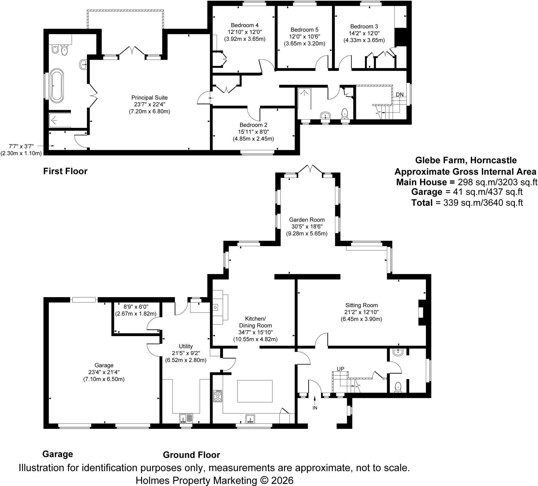
Floorplan
EPC Graphs
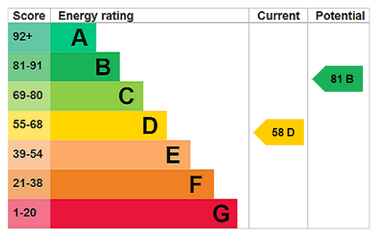
EPC Rating Graph
Price history
| Event | Date | Price | % change |
|---|---|---|---|
| Listed for sale | — | £14,200,000 | — |
Source: HM Land Registry Price Paid Data. Crown copyright.
Sold Comparables
Same street and nearby sales within 0.25 miles (last 5 years). Data from Land Registry Price Paid.
| Address | Price | Date | Type |
|---|---|---|---|
| TREE TOPS OXCOMBE ROAD, BELCHFORD, HORNCASTLE, EAST LINDSEY, LINCOLNSHIRE, LN9 6LS | £230,000 | 12/12/2025 | Detached |
Area average: £230,000 (1 sale)
Capital growth trend
Land Registry outcode average: last 12 months vs 5y and 10y ago (from sold prices).
House Price Index (HM Land Registry — official index, not sold-price averages): East Lindsey. Series: Detached. As of July 2026.
Rental Range
Estimated market rent for East Lindsey. Low = conservative, Realistic = average, Optimistic = best case.
Based on Local Authority from postcode lookup → East Lindsey.
LHA (30th percentile) floor for Wolds and Coast: £598/mo (Apr 2025 – Mar 2026)
Location
Address
Lowfield Lane
Nearby
Nearest stations, universities and amenities (distance from property).
| Type | Name | Distance |
|---|---|---|
| Bus stop | Blue Bell PH | 0.5 miles |
| Shop | Lucia Angelis Shop | 2.1 miles |
| Hospital | Horncastle War Memorial Hospital | 4.4 miles |
| Shop | Turners DIY Centre | 4.4 miles |
Street-level crime
| Category | Count |
|---|---|
| Other crime | 1 |
| Violence and sexual offences | 1 |
| Total incidents | 2 |
Within 1 mile during Aug 2026. Source: data.police.uk (England & Wales).
Schools nearby
Nearest open schools with Ofsted ratings (England). Closed schools are not shown. Data from Get Information about Schools and Ofsted.
| Name | Type | Distance | Ofsted |
|---|---|---|---|
| The Edward Richardson Primary School, Tetford | Primary | 2.2 miles | Good — 10 Mar 2019 |
| Scamblesby Church of England Primary School | Primary | 2.4 miles | Good — 24 Apr 2024 |
| St Lawrence School | Other | 4.2 miles | Good — 14 Nov 2014 |
| Horncastle Primary School | Primary | 4.3 miles | Good — 19 Jun 2024 |
| Queen Elizabeth's Grammar School, Horncastle | Secondary | 4.6 miles | Good — 1 Jul 2024 |
Rental Comparables
Rental comparables data is not available for this property.
Rent-driven metrics
Based on Area rent estimate.
- Rent ratio — Monthly rent ÷ purchase price (1% rule). 1%+ = strong, 0.8–1% = okay, <0.8% = weak for cashflow.
- Max investor price — Rent ÷ 0.8%; the price at which rent would be 0.8% of price (Stoke-style target).
- Target investor price — Rent ÷ 1%; the price at which rent would be 1% of price (strong cashflow band).
- Gross yield — Annual rent as % of purchase price (no costs).
Enter House Number
Enter the house number to help us retrieve more accurate pricing history and property data.
Please log in to submit or correct the house number for this listing.
Log in to continue