17 DAISY AVENUE
BURY ST EDMUNDS, SUFFOLK IP32 7PG
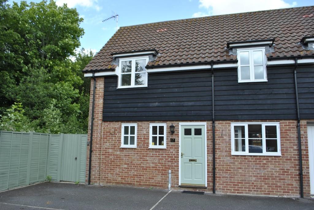
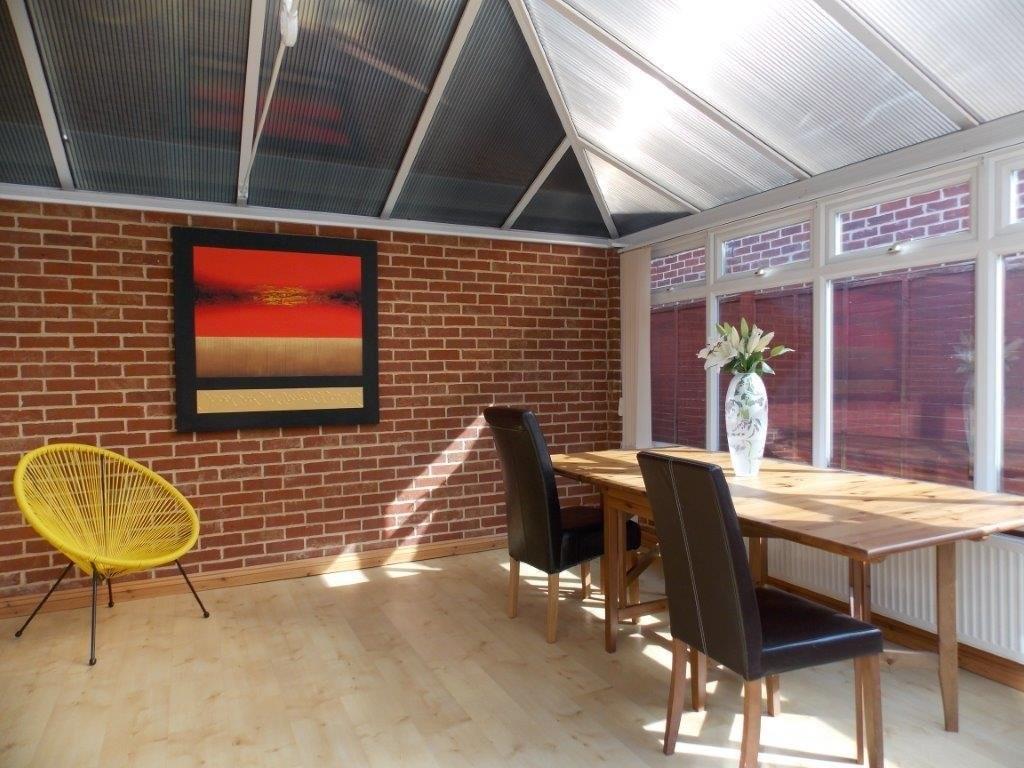
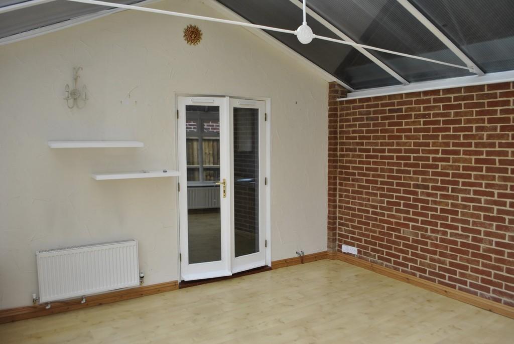
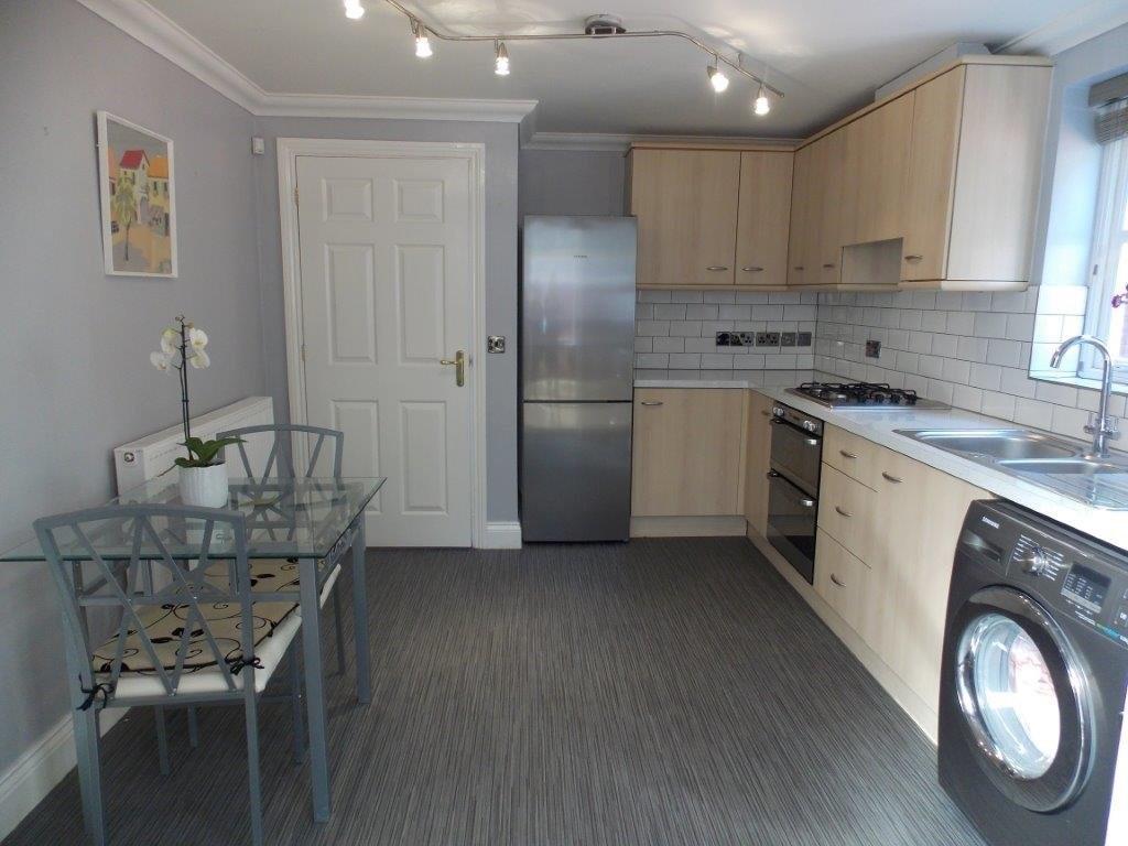
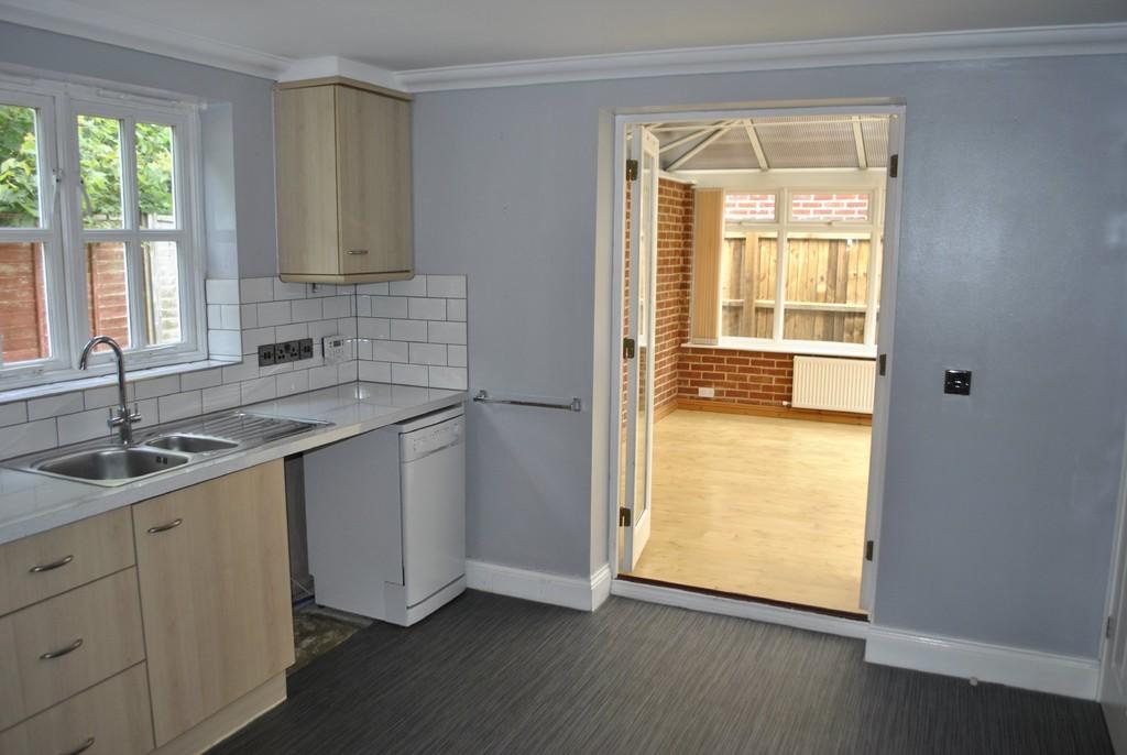
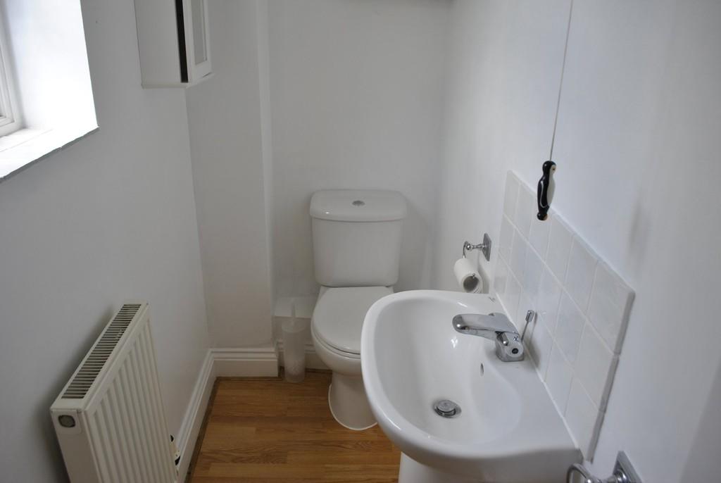
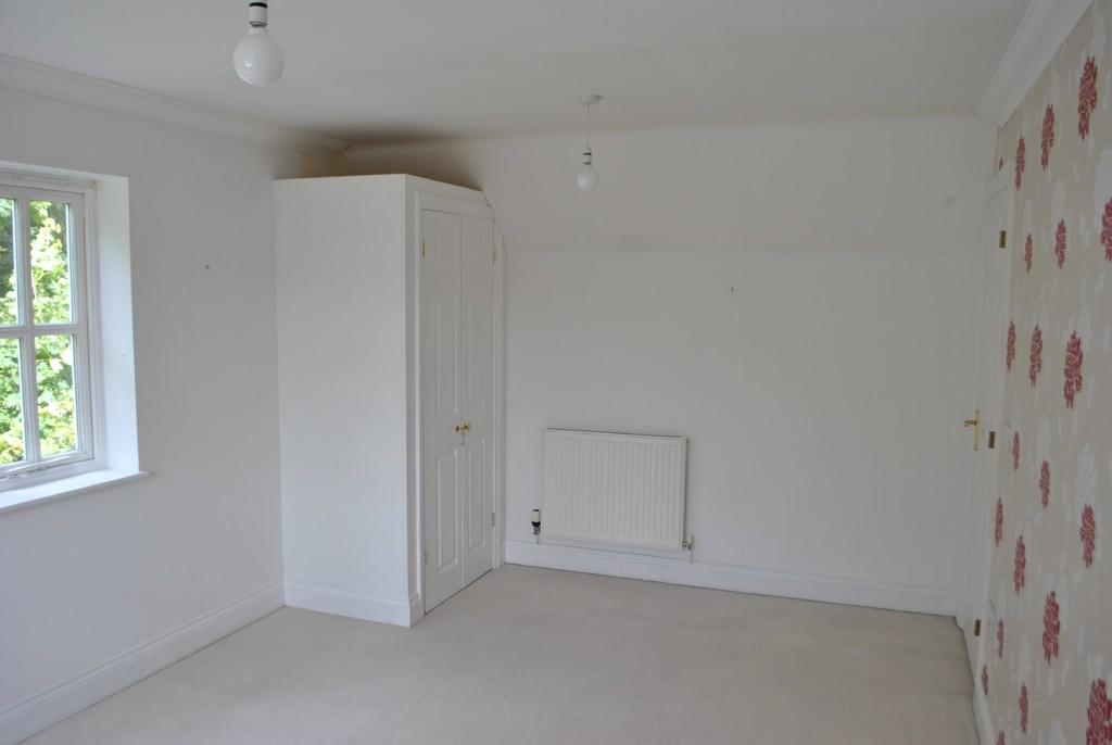
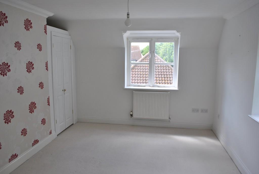
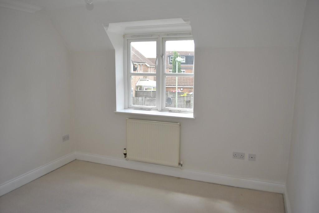
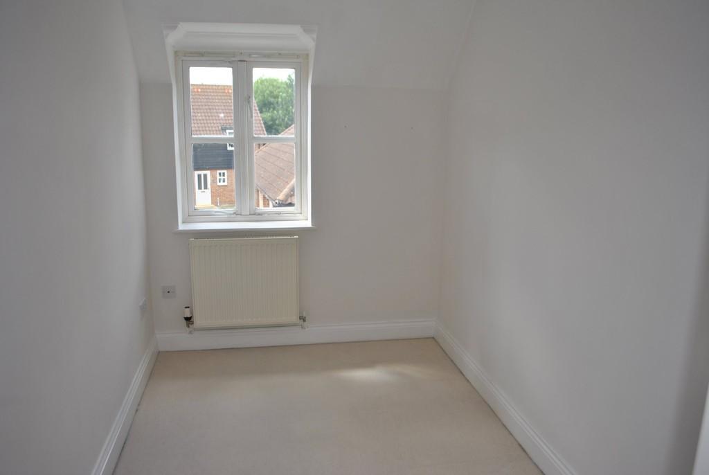
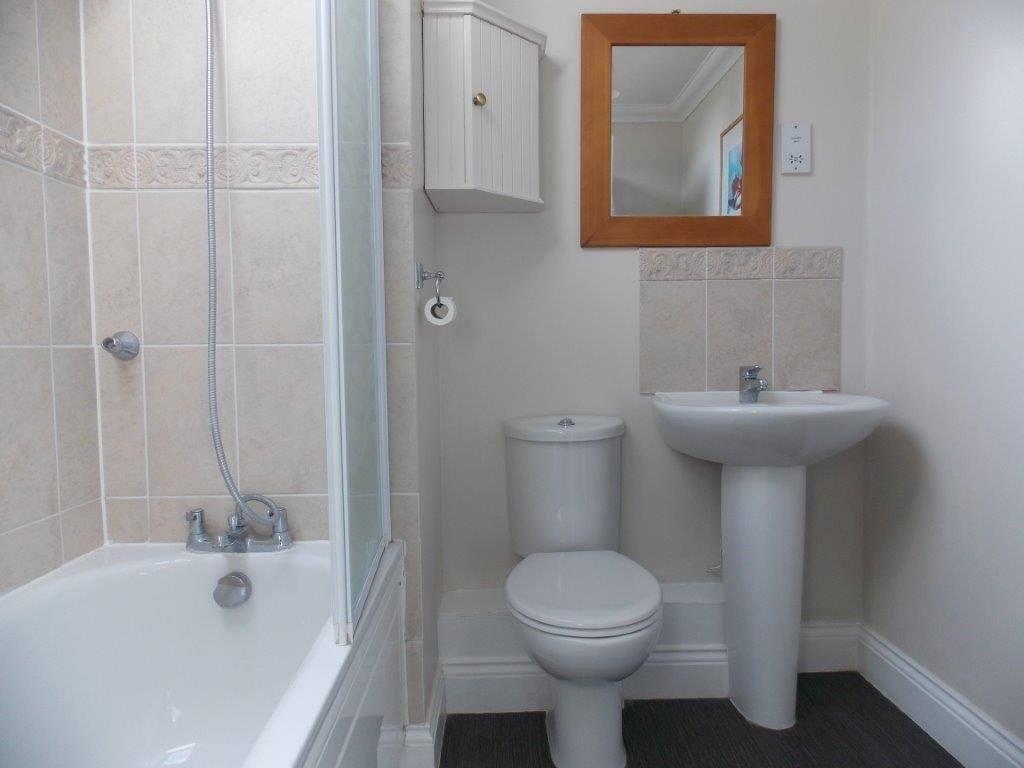
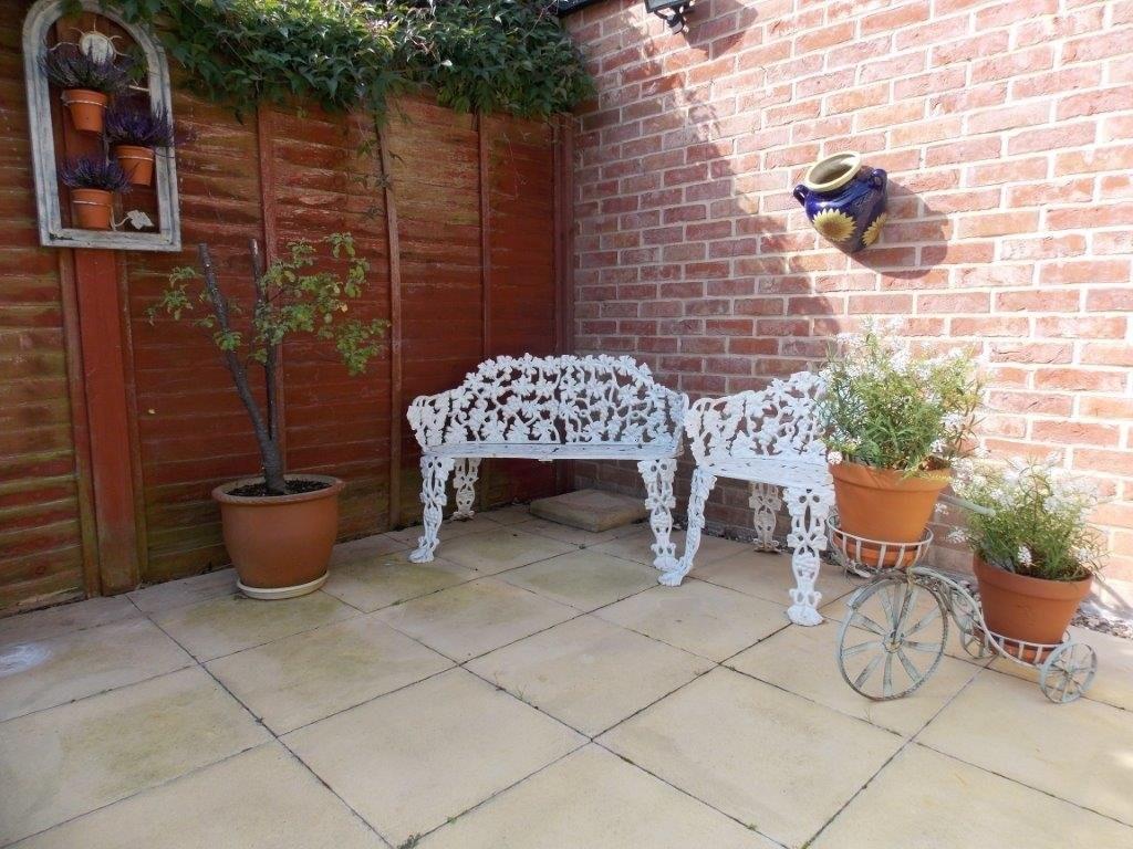
Photo 1 Photo 2 Photo 3 Photo 4 Photo 5 Photo 6 Photo 7 Photo 8 Photo 9 Photo 10 Photo 11 Photo 12 Photo 13
/ 13
Property details
Deprivation
Decile 10 (31,047 of 33,755)
Street crime
27 incidents within 1 mile (Apr 2026)
Key features
- Gas Central Heating
- Two Reception Rooms
- Moreton Hall location
- Low Maintenance Garden
Additional details
- Parking
- Allocated
- Garden
- Yes
Description
CONSERVATORY/SITTING ROOM 14' 3" x 13' (4.34m x 3.96m)
DINING ROOM 16' 3" x 7' 9" (4.95m x 2.36m)
KITCHEN/DINER 12' 9" x 10' 3" (3.89m x 3.12m) With oven and gas hob.
CLOAKROOM
BEDROOM 1 16' 4" x 10' 5" (4.98m x 3.18m) With two built in wardrobes.
BEDROOM 2 10' 6" x 9' 5" (3.2m x 2.87m)
BEDROOM 3 10' 11" x 6' 6" (3.33m x 1.98m)
BATHROOM
OUTSIDE Low maintenance paved garden.
** PLEASE NOTE ALL ROOM SIZES ARE APPROXIMATE.
Listed by
Bury St Edmunds
GD Estates
Reference: 54944667
EPC Rating & Upgrade Cost
Fetching EPC data… Refresh this page in a moment.
Flood risk
Zone: 1
Risk: Low
Job (default Low)
Floorplans
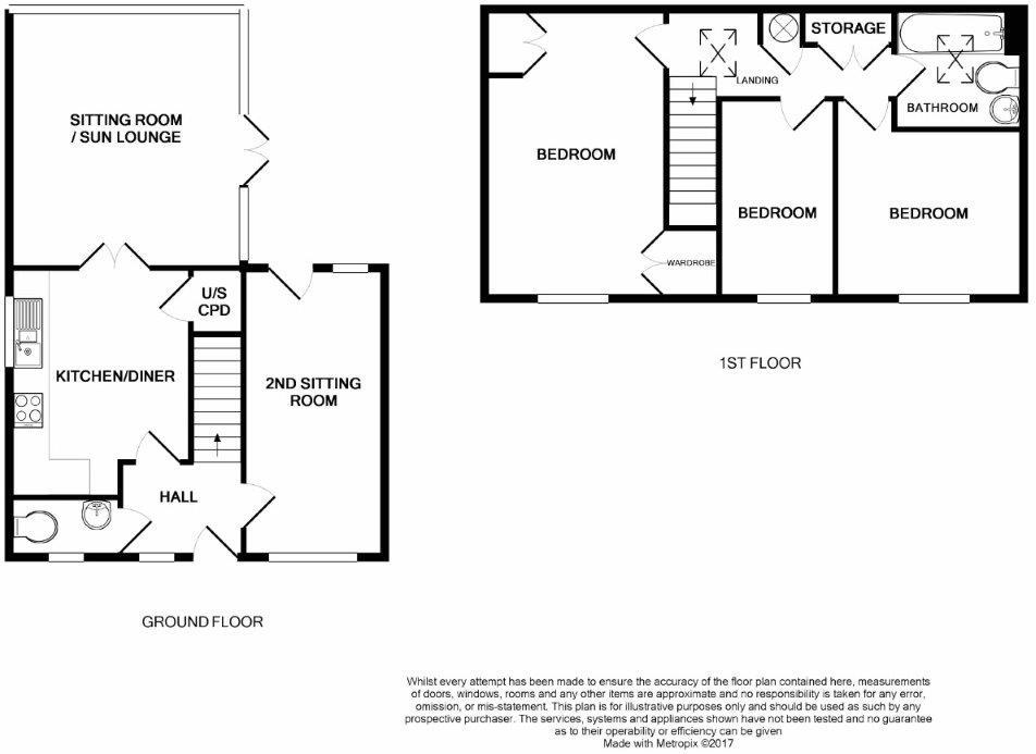
Floorplan 1
EPC Graphs

EPC Front Page
Rental Range
Estimated market rent for West Suffolk. Low = conservative, Realistic = average, Optimistic = best case.
Based on Local Authority from postcode lookup → West Suffolk.
LHA (30th percentile) floor for Bury St Edmunds: £952/mo (Apr 2025 – Mar 2026)
Location
Nearby
Nearest stations, universities and amenities (distance from property).
| Type | Name | Distance |
|---|---|---|
| Bus stop | Roundabout | 0.1 miles |
| Bus stop | Mead Road | 0.1 miles |
| Shop | John Banks Group, Honda | 0.1 miles |
| Shop | Hubbards Butchers and Fine Foods | 0.4 miles |
| Hospital | St Edmunds Hospital | 1.4 miles |
| Train station | Bury St Edmunds | 1.7 miles |
| Hospital | West Suffolk Hospital | 2.1 miles |
| Train station | Thurston | 2.5 miles |
Street-level crime
| Category | Count |
|---|---|
| Violence and sexual offences | 10 |
| Shoplifting | 5 |
| Anti-social behaviour | 4 |
| Criminal damage and arson | 4 |
| Public order | 2 |
| Other theft | 1 |
| Robbery | 1 |
| Total incidents | 27 |
Within 1 mile during Apr 2026. Source: data.police.uk (England & Wales).
Schools nearby
Nearest open schools with Ofsted ratings (England). Closed schools are not shown. Data from Get Information about Schools and Ofsted.
| Name | Type | Distance | Ofsted |
|---|---|---|---|
| First Base Bury St Edmunds | Other | 0.2 miles | Good — 19 Sep 2023 |
| Abbots Green Primary Academy | Primary | 0.2 miles | Good — 20 Jul 2022 |
| Sir Peter Hall School | Other | 0.3 miles | — (No rating) |
| Sybil Andrews Academy | Secondary | 0.3 miles | Good — 23 Nov 2023 |
| Sebert Wood Community Primary School | Primary | 0.5 miles | Good — 18 Dec 2023 |
Rental Comparables
Residential lets from OpenRent and Rightmove for the area (same bedroom count). Use to validate rent estimates. Student lets are excluded.
| Title | Rent | Beds | Distance | As seen on |
|---|---|---|---|---|
| 3 Bed Terraced House, Bluebell Avenue, IP32 | £1,395/mo | 3 | 0.11 miles | OpenRent |
| 3 Bed Terraced House, Sycamore Drive, IP32 | £1,650/mo | 3 | 0.31 miles | OpenRent |
Average rent: £1,523/mo (2 listings)