23 DOMINION STREET
BARROW-IN-FURNESS, WALNEY, WESTMORLAND AND FURNESS LA14 3BW
£495 pcm
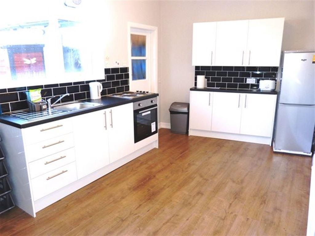
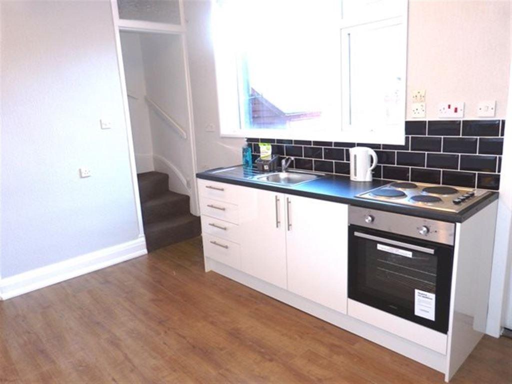
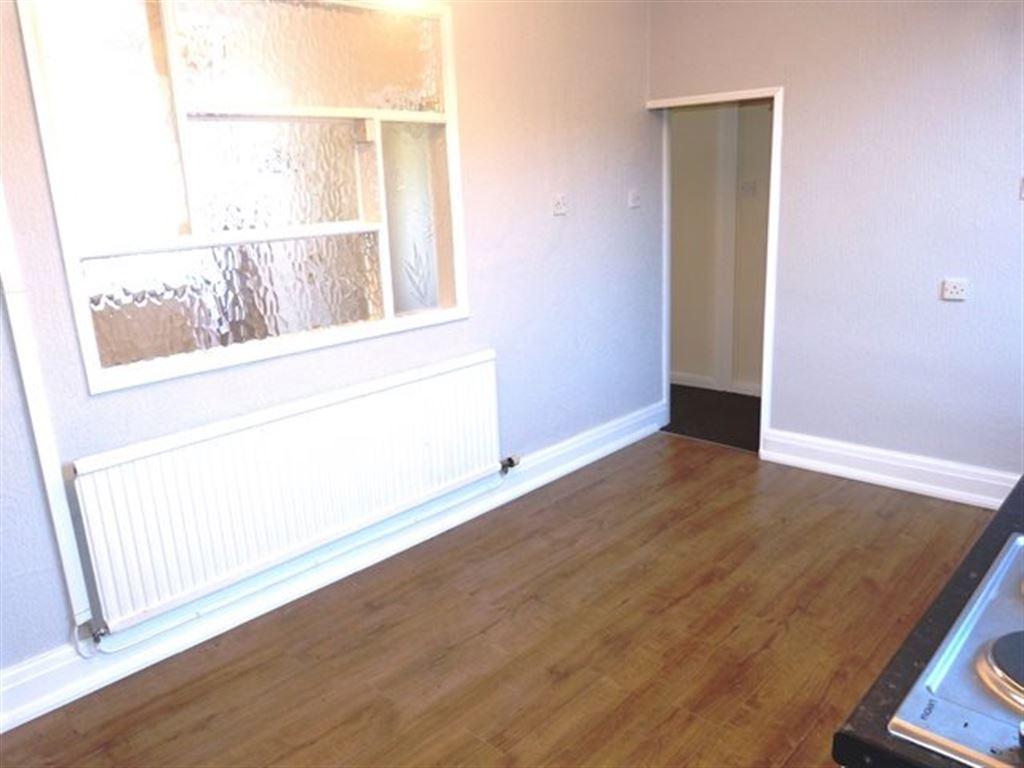
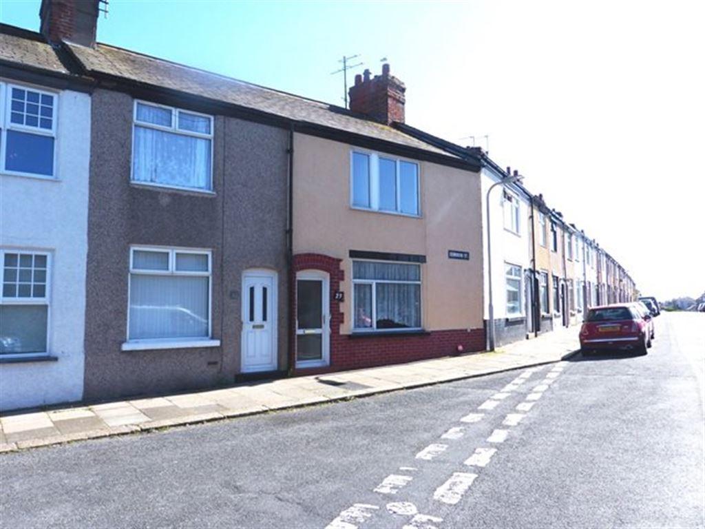
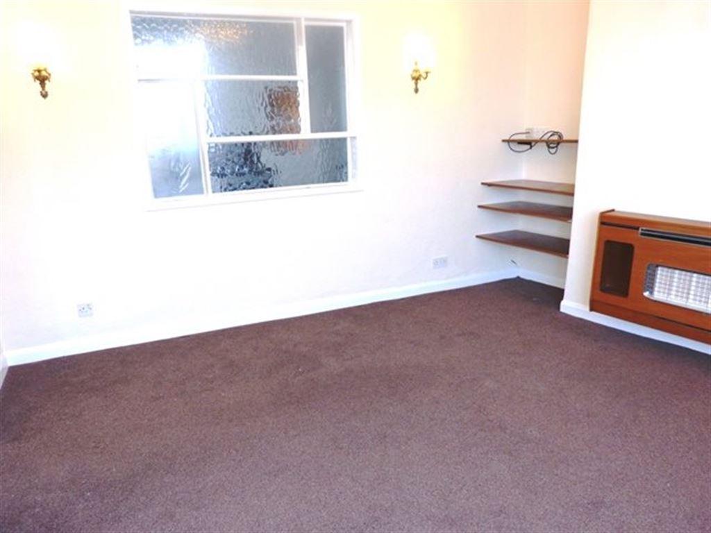
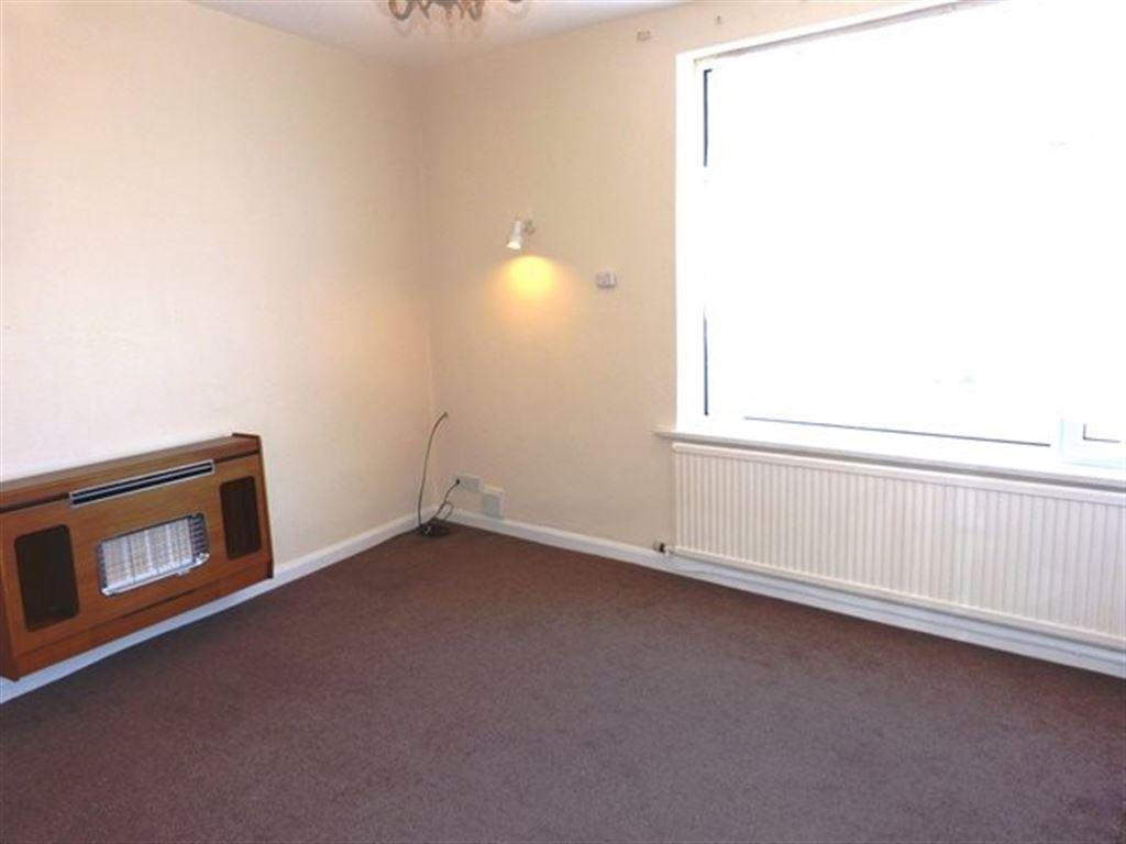
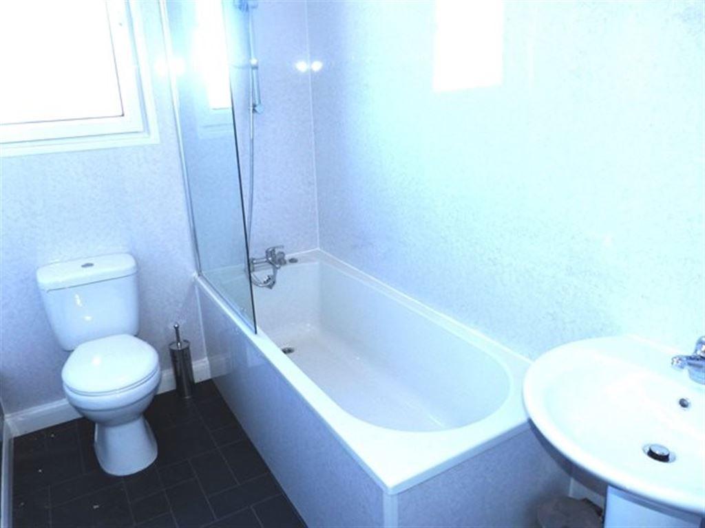
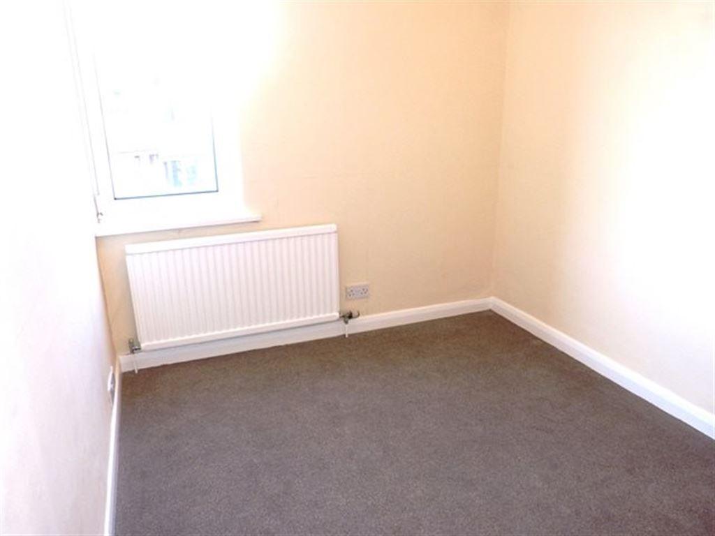
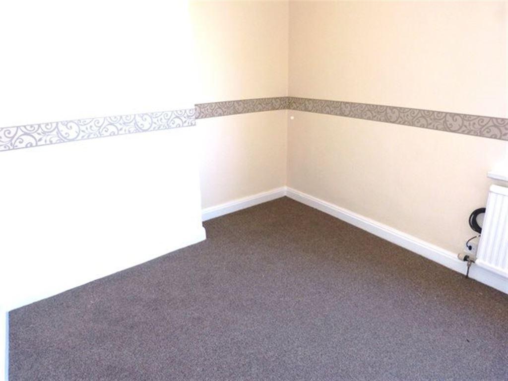
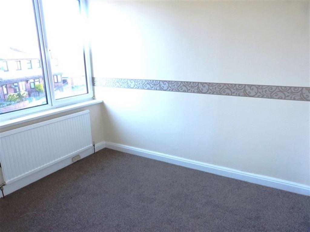
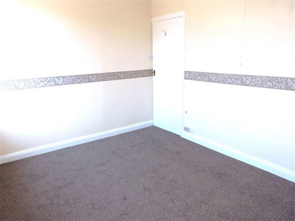
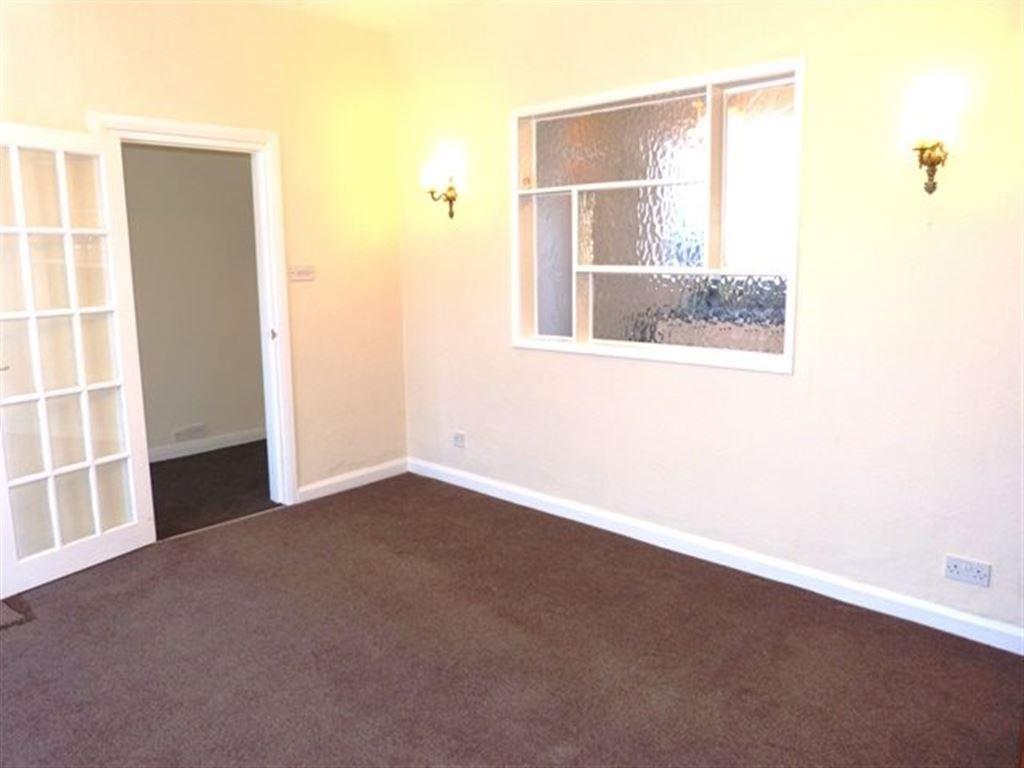
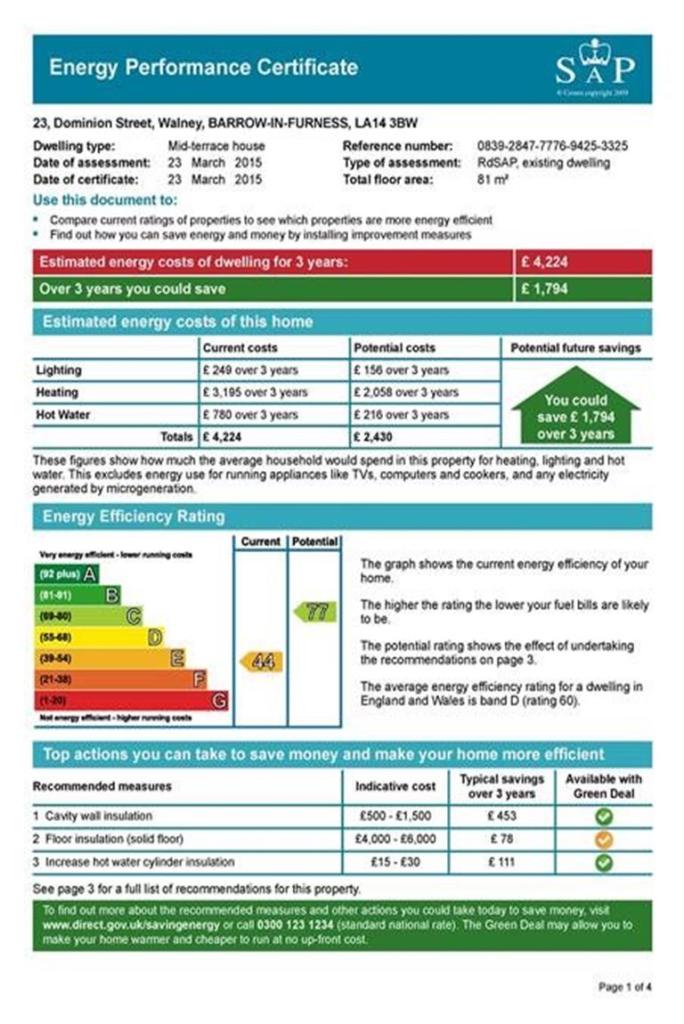
Photo 1 Photo 2 Photo 3 Photo 4 Photo 5 Photo 6 Photo 7 Photo 8 Photo 9 Photo 10 Photo 11 Photo 12 Photo 13
/ 13
Property details
Floor area
72 m²
Deprivation
Decile 5 (14,473 of 33,755)
Street crime
123 incidents within 1 mile (Apr 2026)
Key features
- Walney
- Terrace house
- Maybe available furnished/unfurnished
- 3 Bedrooms
- 1 Reception
- 1 Bathroom
- Gas fired central heating
- Sorry, no smokers
- Sorry, No Pets Allowed
- Yard
Additional details
- Parking
- Yes
- Garden
- Yes
Description
* Currently unfurnished with white goods provided
* Newly completed and neutral decor and carpets throughout
* Spacious lounge and new bathroom suite
* Newly fitted, modern kitchen/diner with separate utility area
* Two good sized double bedrooms and one smaller double
* Large yard to rear with sufficient room for a car, small car port and storage shed
* A spacious family home ideal for long term rental
* EPC rating: Current E, Potential C
Listed by
Barrow-in-Furness
pc! Lettings
Reference: 48327873
EPC Rating & Upgrade Cost
Fetching EPC data… Refresh this page in a moment.
Flood risk
Zone: 1
Risk: Low
Job (default Low)
Rental Range
Estimated market rent for North West. Low = conservative, Realistic = average, Optimistic = best case.
Based on Region from postcode lookup → North West.
LHA (30th percentile) floor for Barrow-in-Furness: £633/mo (Apr 2025 – Mar 2026)
Location
Nearby
Nearest stations, universities and amenities (distance from property).
| Type | Name | Distance |
|---|---|---|
| Bus stop | King Alfred PH (N bound) | 0.1 miles |
| Bus stop | King Alfred PH (S bound) | 0.1 miles |
| Shop | The Lion & The Unicorn | 0.1 miles |
| Shop | Bargain Booze | 0.2 miles |
| Train station | Barrow-in-Furness | 1.3 miles |
| Train station | Roose | 2.3 miles |
| Hospital | Furness General Hospital | 2.7 miles |
| Hospital | Millom Community Hospital | 7.2 miles |
Street-level crime
| Category | Count |
|---|---|
| Violence and sexual offences | 55 |
| Public order | 17 |
| Shoplifting | 12 |
| Other theft | 11 |
| Criminal damage and arson | 8 |
| Burglary | 5 |
| Anti-social behaviour | 4 |
| Drugs | 4 |
| Other crime | 4 |
| Possession of weapons | 1 |
| Theft from the person | 1 |
| Vehicle crime | 1 |
| Total incidents | 123 |
Within 1 mile during Apr 2026. Source: data.police.uk (England & Wales).
Schools nearby
Nearest open schools with Ofsted ratings (England). Closed schools are not shown. Data from Get Information about Schools and Ofsted.
| Name | Type | Distance | Ofsted |
|---|---|---|---|
| St Columba's School | Primary | 0.1 miles | Good — 5 Jul 2012 |
| South Walney Infant and Nursery School | Primary | 0.2 miles | Good — 14 Sep 2018 |
| South Walney Junior School | Primary | 0.2 miles | Good — 30 Nov 2012 |
| George Hastwell School Special Academy | Other | 0.4 miles | — (Inspected (no overall grade)) |
| Walney School | Secondary | 0.4 miles | Requires improvement — 2 May 2022 |
Rental Comparables
Loading rental comparables for this postcode. Refresh in a few minutes.