24 TUNSTALL ROAD
CROYDON, CROYDON, GREATER LONDON CR0 6TU
£1,850 pcm
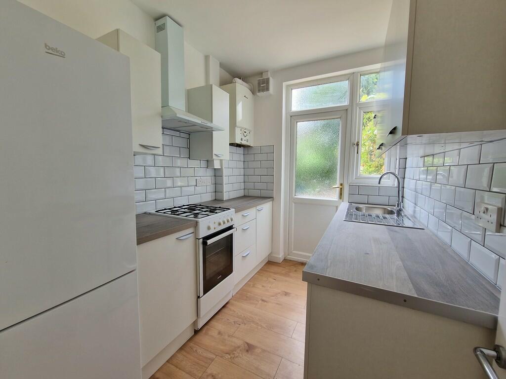
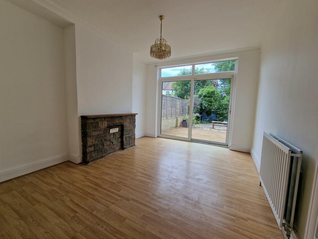
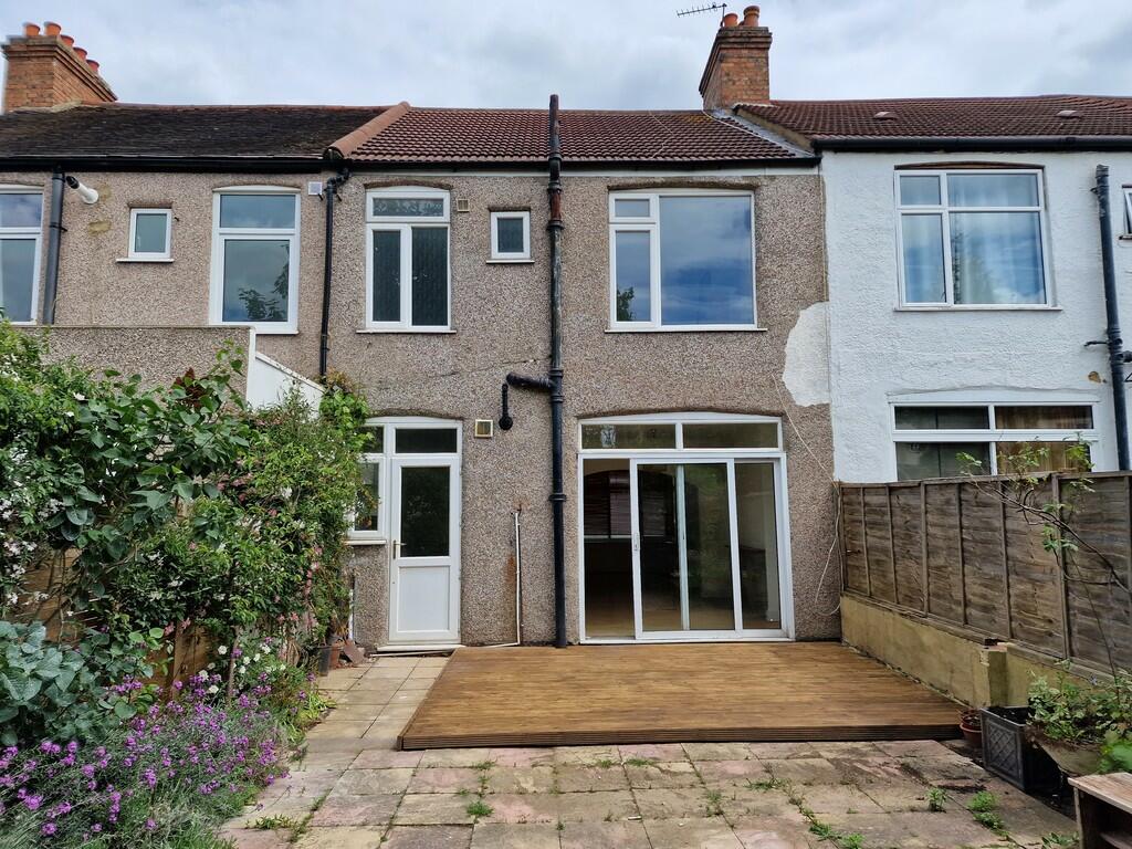
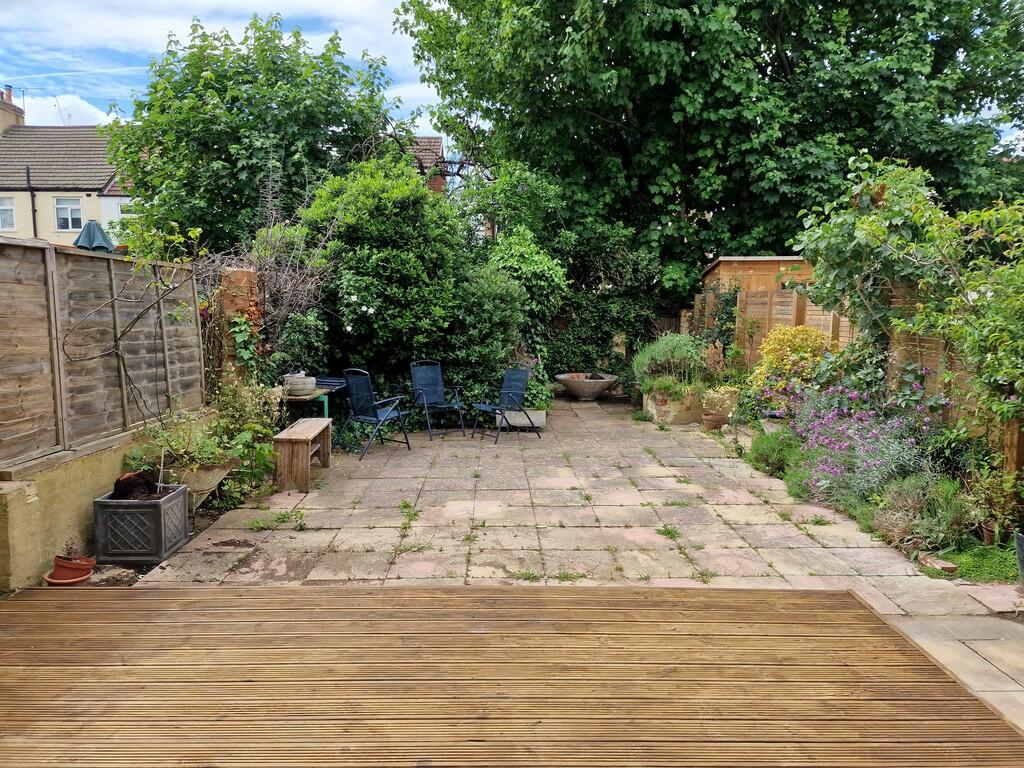
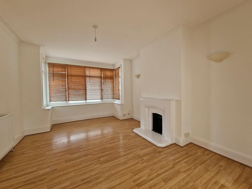
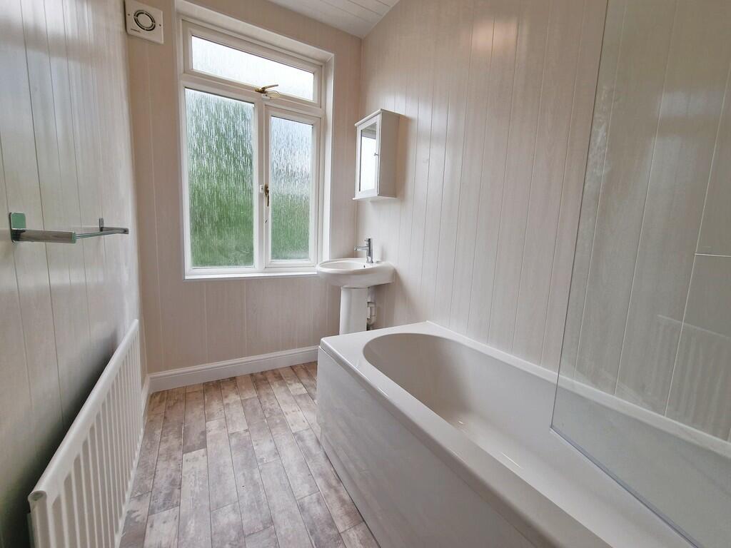
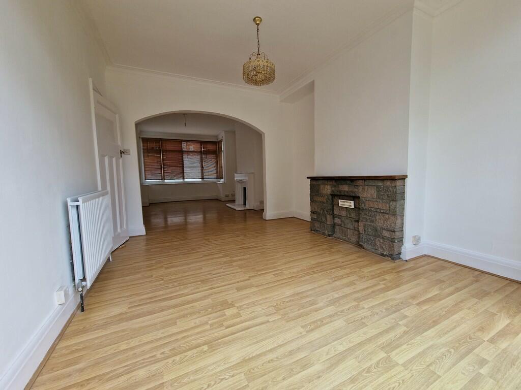
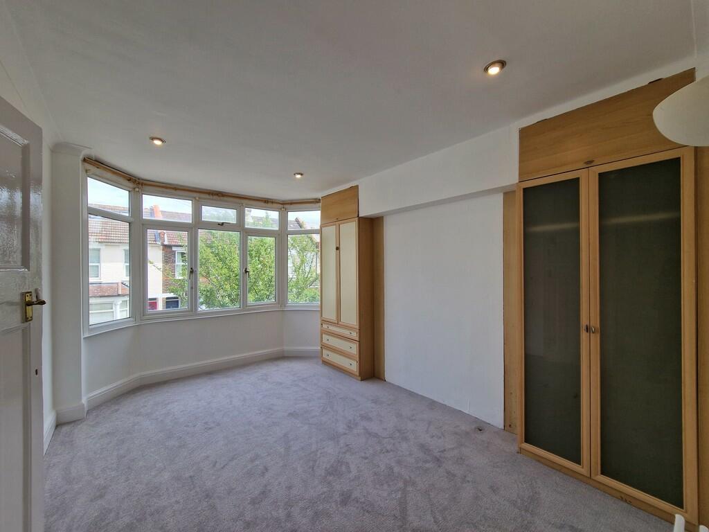
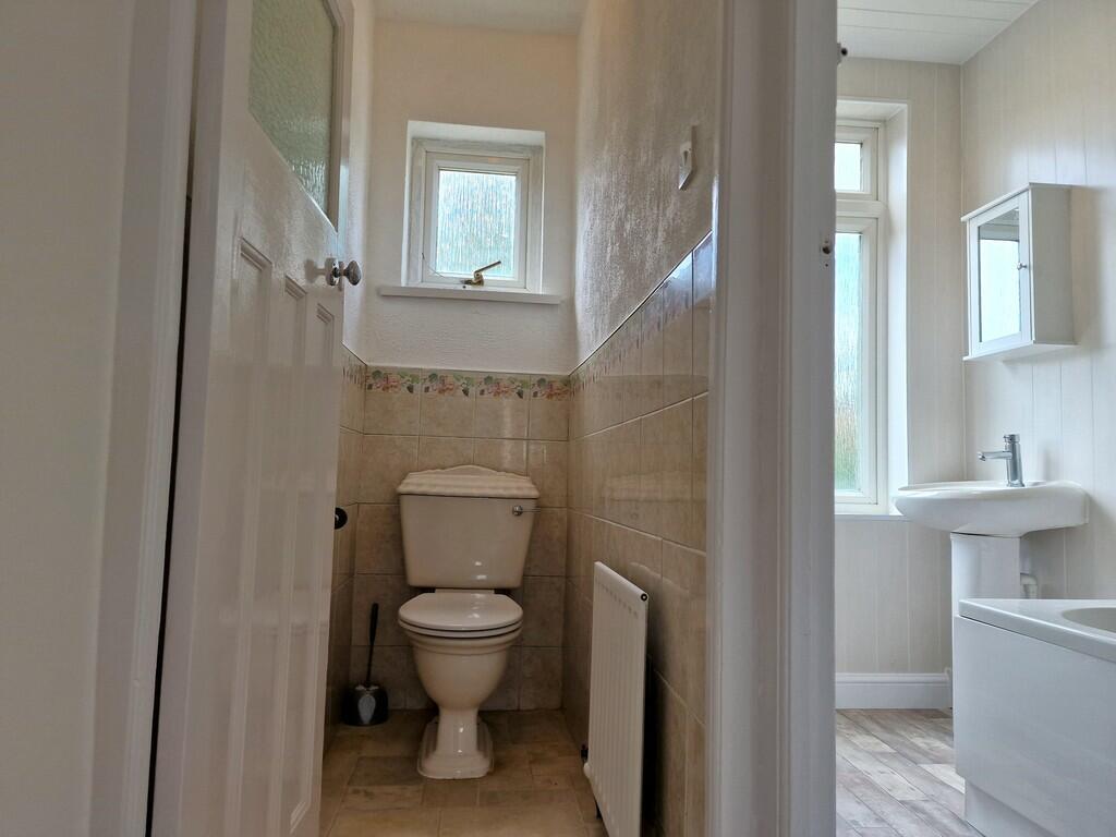
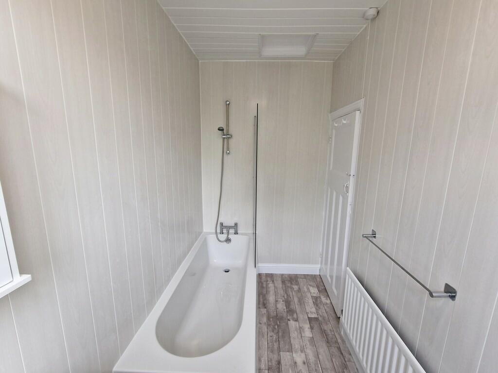
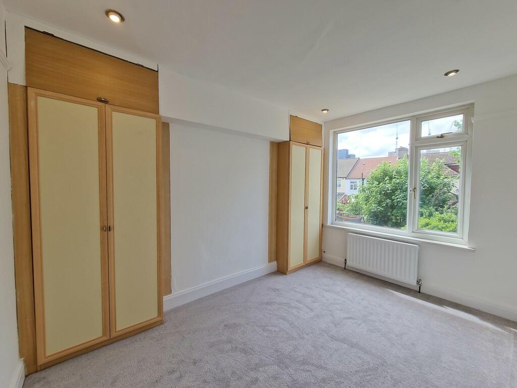
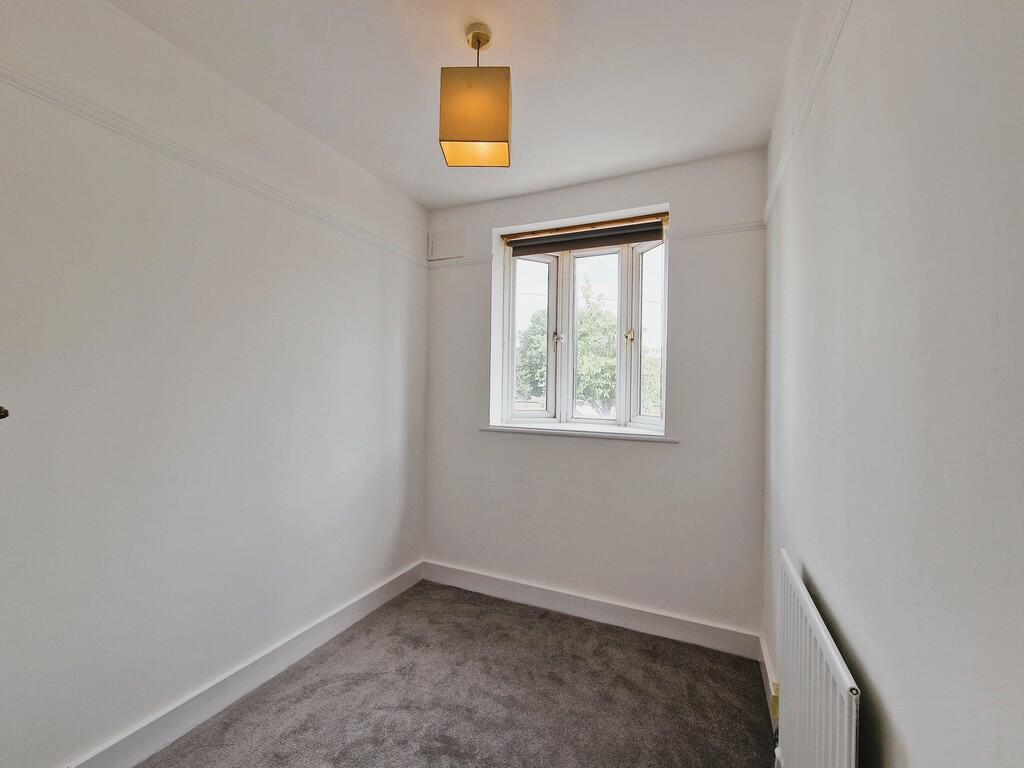
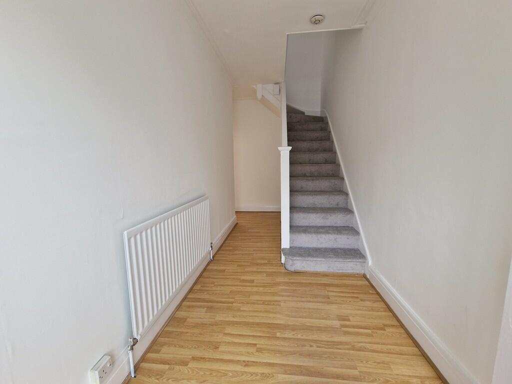
Photo 1 Photo 2 Photo 3 Photo 4 Photo 5 Photo 6 Photo 7 Photo 8 Photo 9 Photo 10 Photo 11 Photo 12 Photo 13
/ 13
Property details
Floor area
92 m²
Council tax band
D
Deprivation
Decile 5 (14,555 of 33,755)
Street crime
1029 incidents within 1 mile (Apr 2026)
Key features
- 3 Bedroom House
- Large Through Living Room
- Three Bedrooms
- Fitted Kitchen
- Bathroom/WC
- Gas Heating
- Sunny West Facing Garden
Additional details
- Parking
- On street
- Garden
- Yes
Description
The accommodation affords an entrance porch, a hallway, a large double reception room, fitted kitchen, landing, two double bedrooms, a handy third bedroom, bathroom/wc and benefits from gas heating. Externally there is a small garden at the front and a sunny Wes-facing garden at the rear.
For those with a car, parking is available in the road outside with a resident's permit obtained from Croydon Council.
Call the landlord's managing agent, Martin & Co Croydon, now for an appointment to view!
Listed by
Croydon
The Property Franchise Group
Reference: 145325624
EPC Rating & Upgrade Cost
Fetching EPC data… Refresh this page in a moment.
Flood risk
Zone: 1
Risk: Low
Job (default Low)
Rental Range
Estimated market rent for Croydon. Low = conservative, Realistic = average, Optimistic = best case.
Based on Local Authority from postcode lookup → Croydon.
LHA (30th percentile) floor for Outer South London: £1,496/mo (Apr 2025 – Mar 2026)
Location
Nearby
Nearest stations, universities and amenities (distance from property).
| Type | Name | Distance |
|---|---|---|
| Shop | Tesco Express | 0.1 miles |
| Bus stop | Canning Road | 0.1 miles |
| Bus stop | Morland Road | 0.1 miles |
| Shop | Euro Dry Cleaners | 0.2 miles |
| Train station | East Croydon | 0.4 miles |
| Train station | West Croydon | 0.8 miles |
| Hospital | Shirley Oaks Hospital | 1.2 miles |
| Hospital | Diabetic Department | 1.3 miles |
| University | City St Georges Tooting | 5.1 miles |
| University | Unknown | 5.7 miles |
Street-level crime
| Category | Count |
|---|---|
| Violence and sexual offences | 294 |
| Anti-social behaviour | 220 |
| Shoplifting | 97 |
| Drugs | 66 |
| Vehicle crime | 66 |
| Public order | 57 |
| Other theft | 56 |
| Criminal damage and arson | 48 |
| Burglary | 35 |
| Theft from the person | 27 |
| Possession of weapons | 23 |
| Robbery | 19 |
| Other crime | 12 |
| Bicycle theft | 9 |
| Total incidents | 1029 |
Within 1 mile during Apr 2026. Source: data.police.uk (England & Wales).
Schools nearby
Nearest open schools with Ofsted ratings (England). Closed schools are not shown. Data from Get Information about Schools and Ofsted.
| Name | Type | Distance | Ofsted |
|---|---|---|---|
| Tunstall Nursery School | Nursery | 0.0 miles | Outstanding — 16 Mar 2016 |
| Ark Blake Academy | Secondary | 0.2 miles | Good — 26 Apr 2023 |
| Al-Khair Secondary Girls | Other | 0.2 miles | Good — 9 Jul 2024 |
| Al-Khair School | Other | 0.2 miles | Good — 24 Nov 2021 |
| Ark Oval Primary Academy | Primary | 0.2 miles | Good — 11 Jan 2013 |
Rental Comparables
Residential lets from OpenRent and Rightmove for the area (same bedroom count). Use to validate rent estimates. Student lets are excluded.
| Title | Rent | Beds | Distance | As seen on |
|---|---|---|---|---|
| 3 Bed Terraced House, Cross Road, CR0 | £2,250/mo | 3 | 0.26 miles | OpenRent |
| 3 Bed Terraced House, Turnpike Link, CR0 | £1,900/mo | 3 | 0.3 miles | OpenRent |
| 3 Bed Terraced House, Turnpike Link, CR0 | £2,300/mo | 3 | 0.32 miles | OpenRent |
Average rent: £2,150/mo (3 listings)