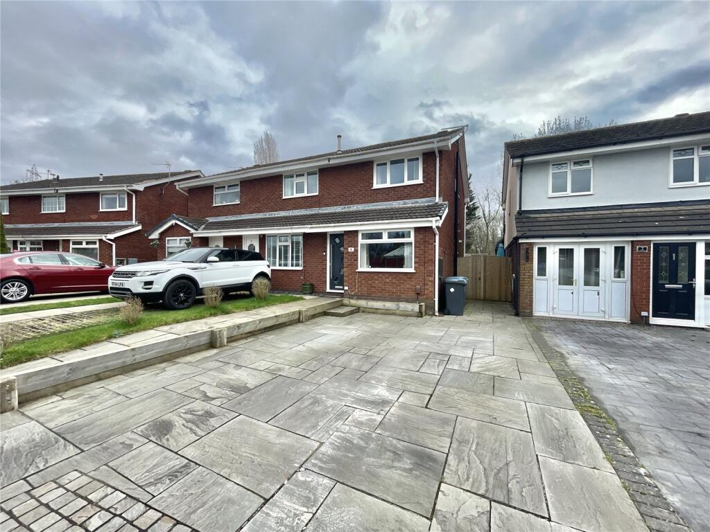
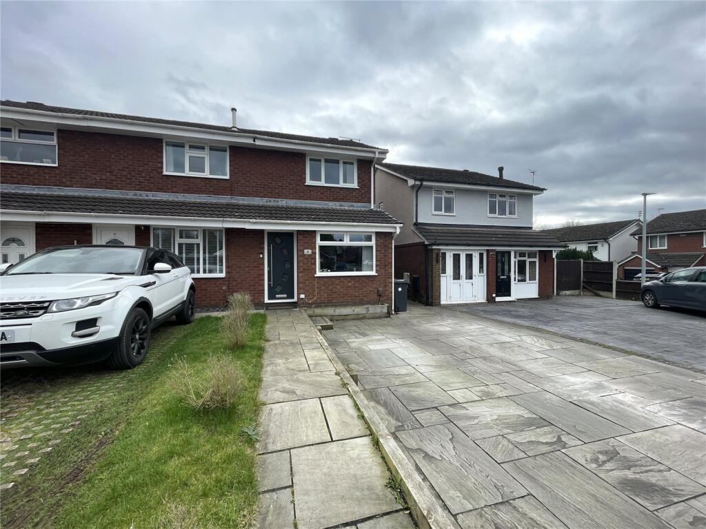
4 CALDER CLOSE
WIDNES, HALTON WA8 3YT
Picture No. 06 Picture No. 04 Picture No. 19 Picture No. 18 Picture No. 20 Picture No. 22 Picture No. 21 Picture No. 16 Picture No. 15 Picture No. 17 Picture No. 14 Picture No. 10 Picture No. 11 Picture No. 07 Picture No. 08 Picture No. 09 Picture No. 23 Picture No. 24 Picture No. 25 Picture No. 27 Picture No. 26
/ 21
Property details
Tenure
FREEHOLD
Floor area
66 m²
Council tax band
B
EPC rating
C
Year built
England and Wales: 1967-1975
Last sold
£125,000 Mar 2016
Price per m²
£2,727/m²
Local average
£211,557 (-14.9%)
Deprivation
Decile 8 (25,024 of 33,755)
Street crime
49 incidents within 1 mile (Apr 2026)
Key features
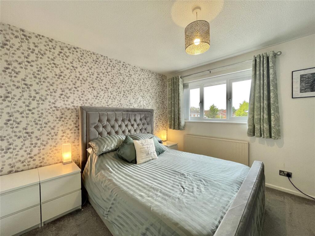
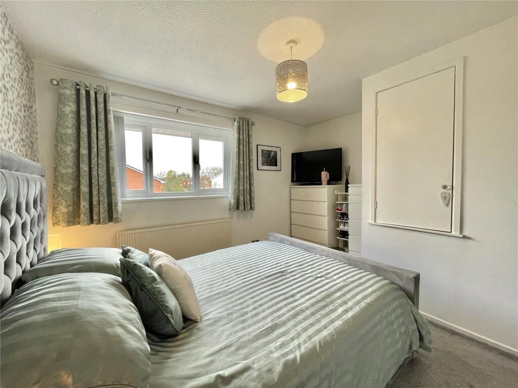
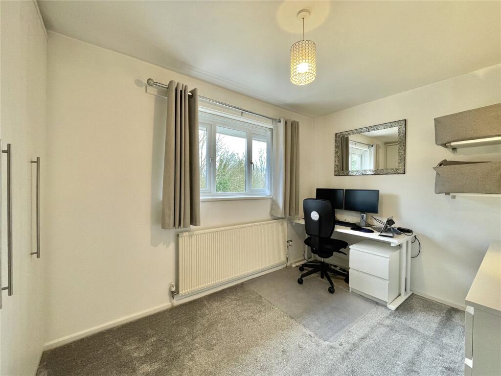
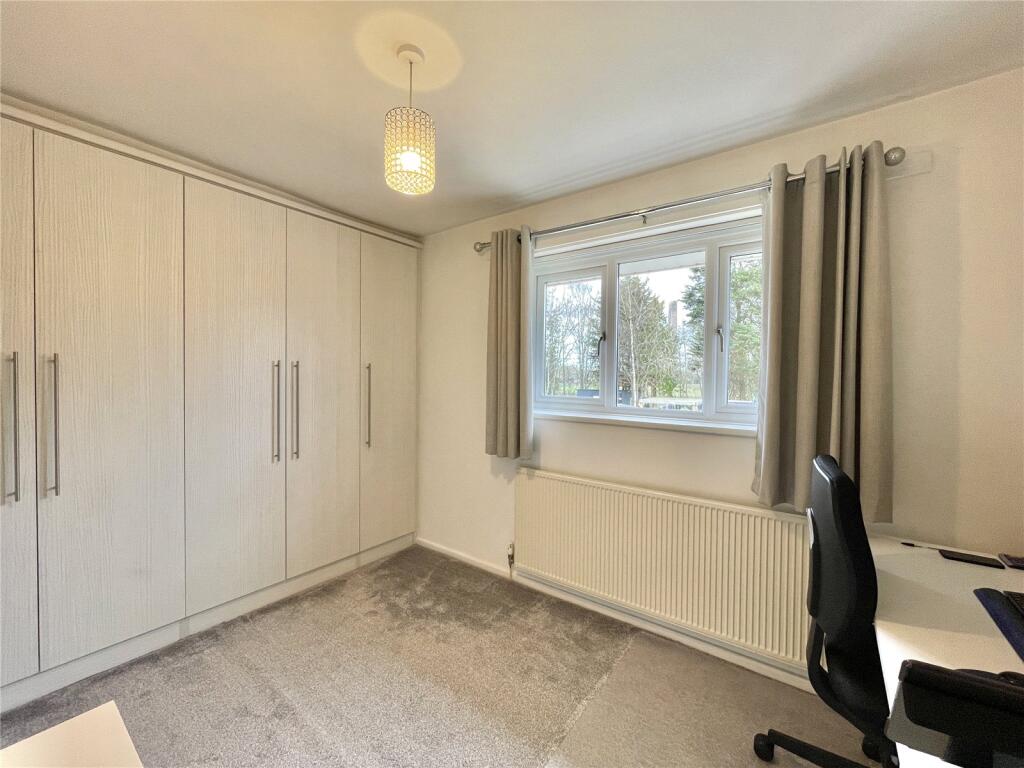
- Two-bedroom, Semi-detached family home
- Off-road parking
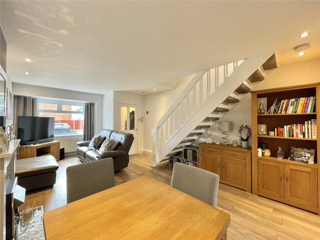
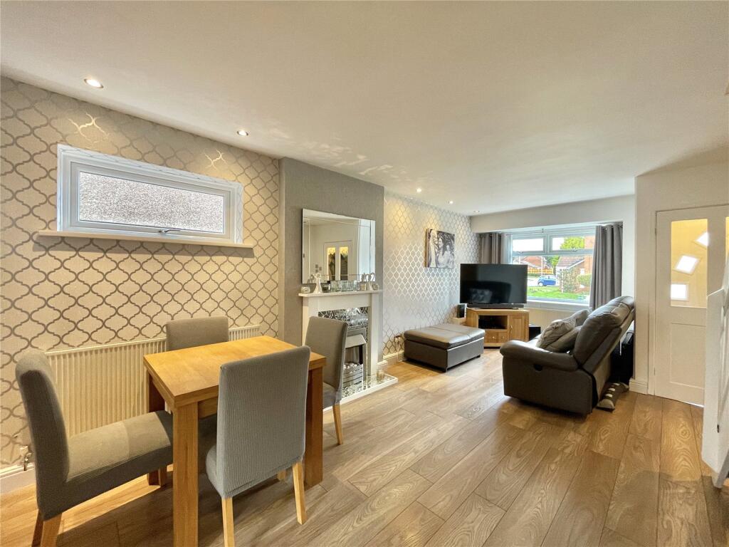
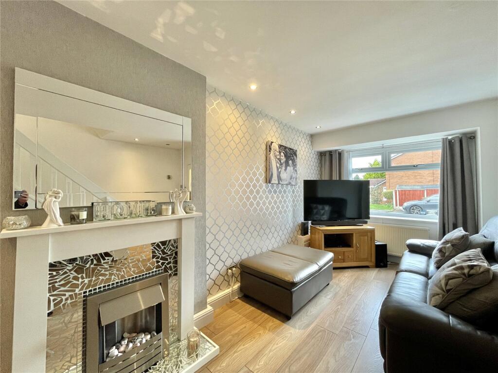
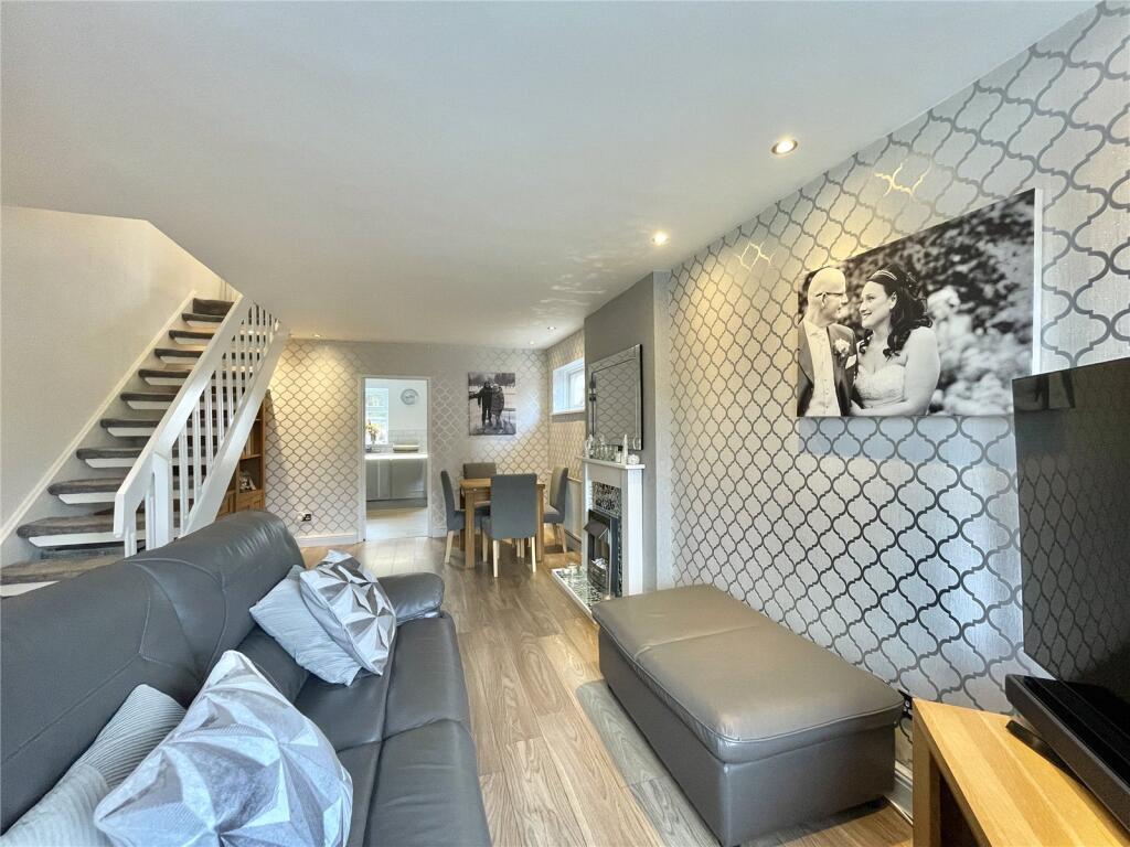
- Spacious through lounge
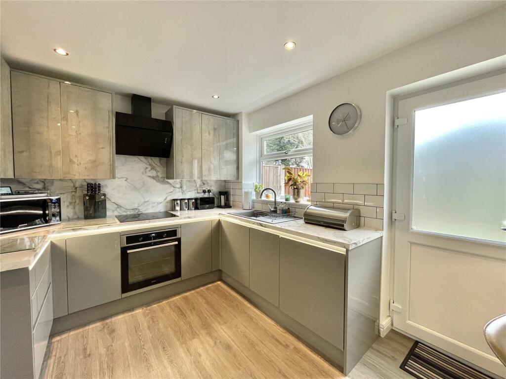
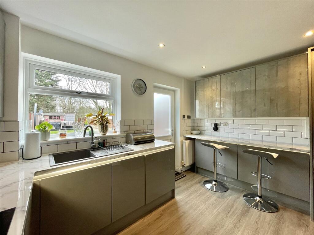
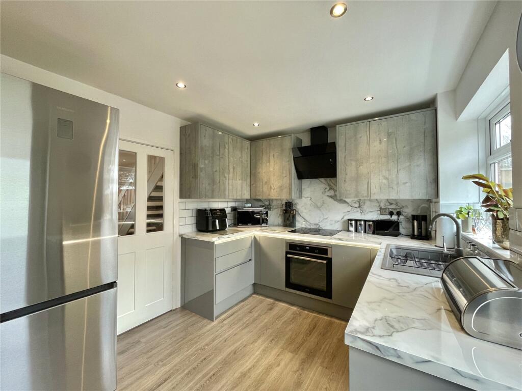
- Fitted kitchen
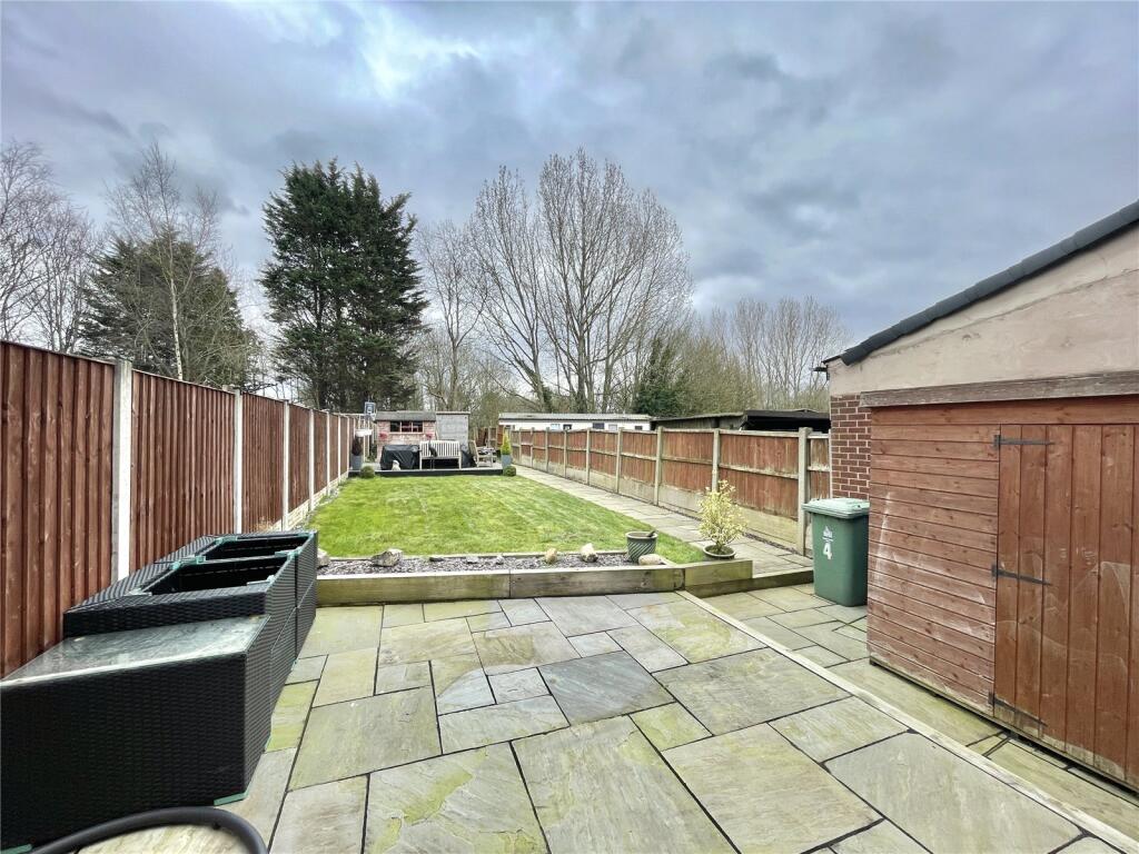
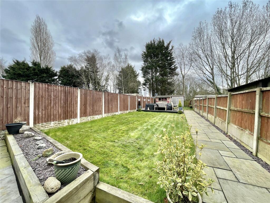
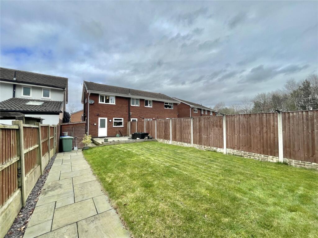
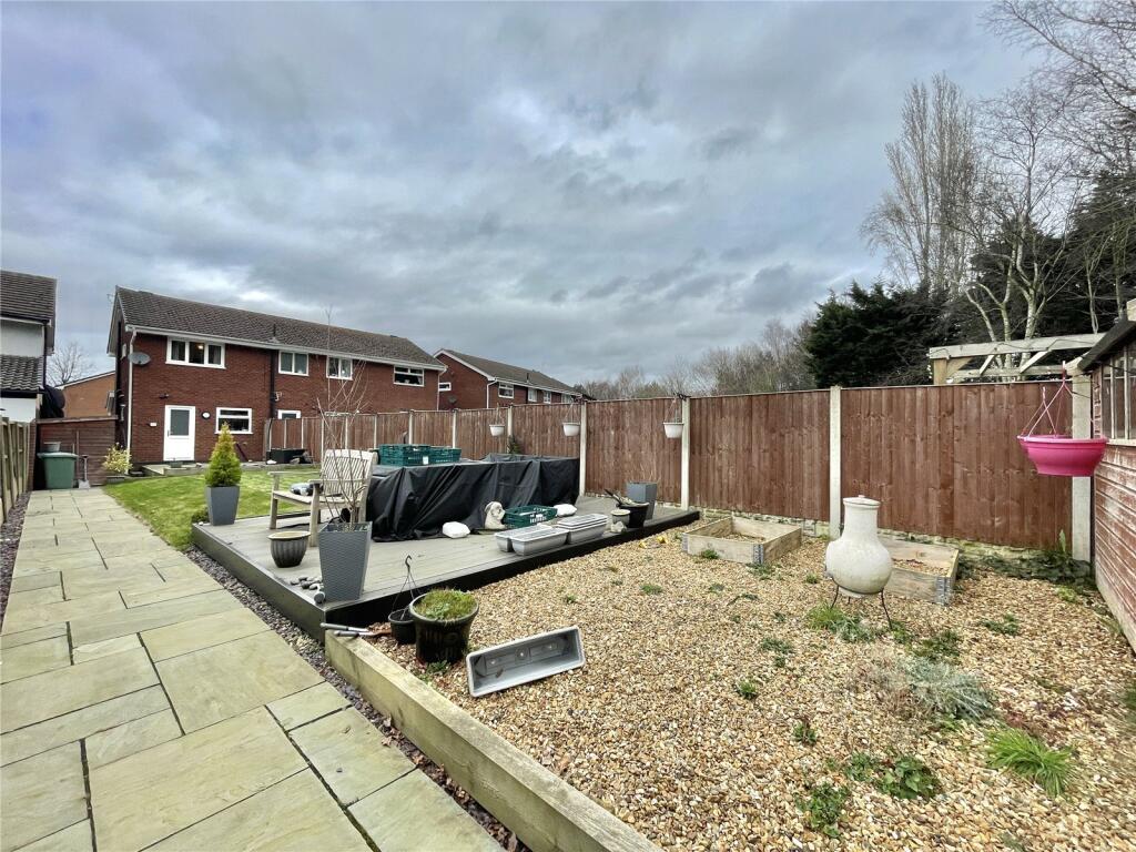
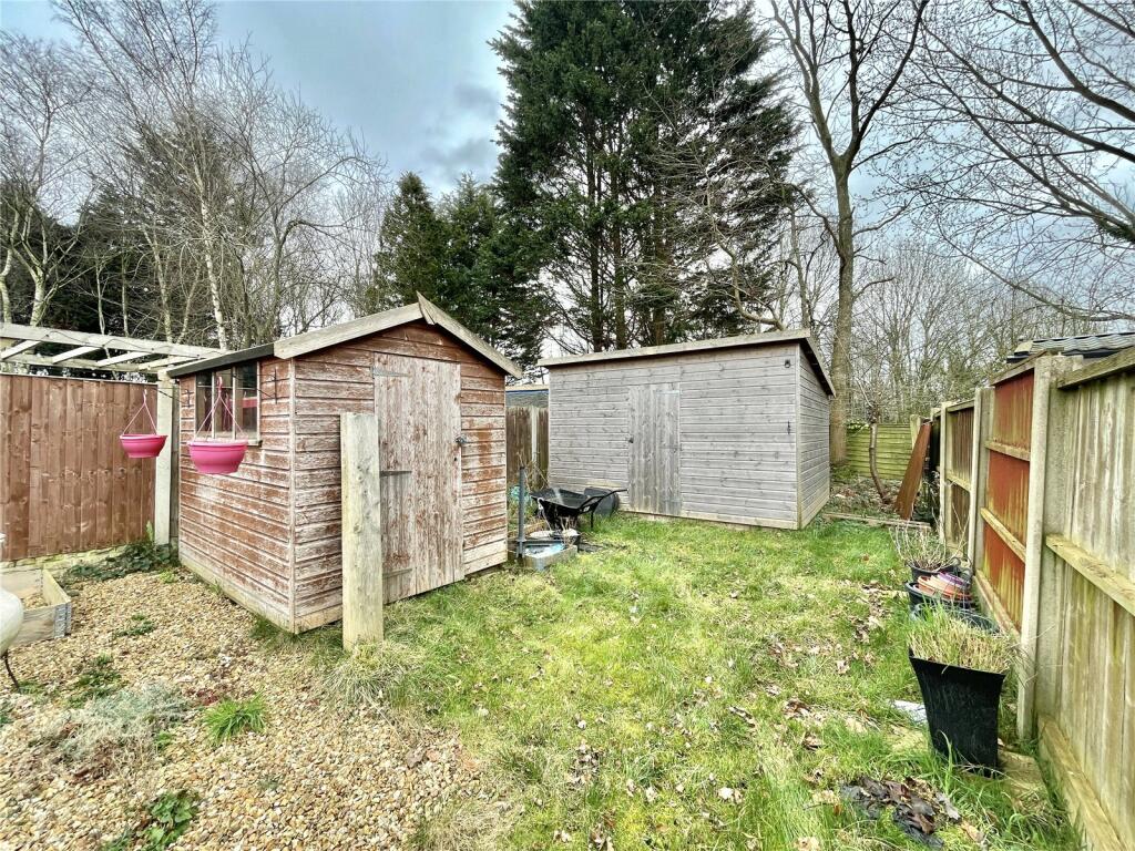
- Garden to the rear
- Tenure: Freehold, Council tax band: B
Additional details
- Parking
- Driveway
- Garden
- Yes
Description
Located in a highly desirable part of Widnes, this family home is ideal for those looking to get on to the property ladder, downsize, or to add to their portfolio.
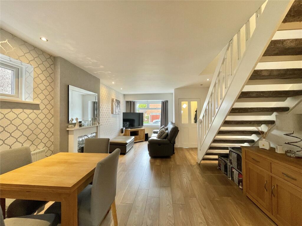
The property consists: vestibule entrance, main through lounge/diner, to the rear a fitted kitchen with access to the rear patio and garden.
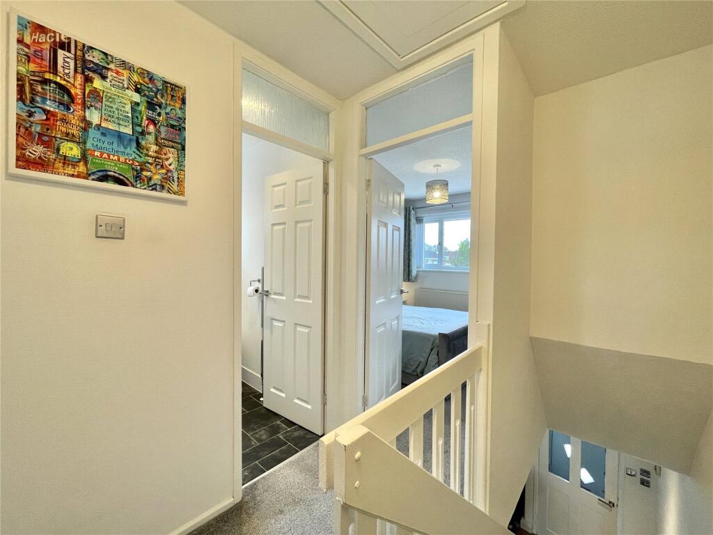
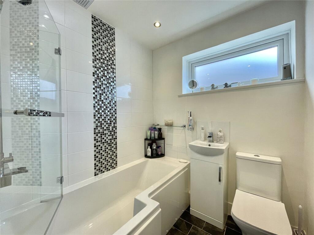
To the first floor, the property has an inviting landing, two spacious bedrooms, and a family bathroom.
Externally, the property has ample parking to the front, gated side access, and to the rear a well-presented patio space and main garden.
Viewings are highly recommended, so please contact the office to enquire further.
Listed by
Widnes
Countrywide UK Sales - Connells
Reference: 173687774
EPC Rating & Upgrade Cost
Current rating: C
Potential rating: C
Inspection date: 24/03/2026
Expiry date: 23/03/2036
Current heating cost: £761/year
Potential heating cost: £704/year
Est. upgrade cost to C: £16,500
Recommendations
- Floor insulation (solid floor) (£5,000 - £10,000)
- Solar photovoltaic panels, 2.5 kWp (£8,000 - £10,000)
Flood risk
Zone: 1
Risk: Low
Job (default Low)
Floorplans
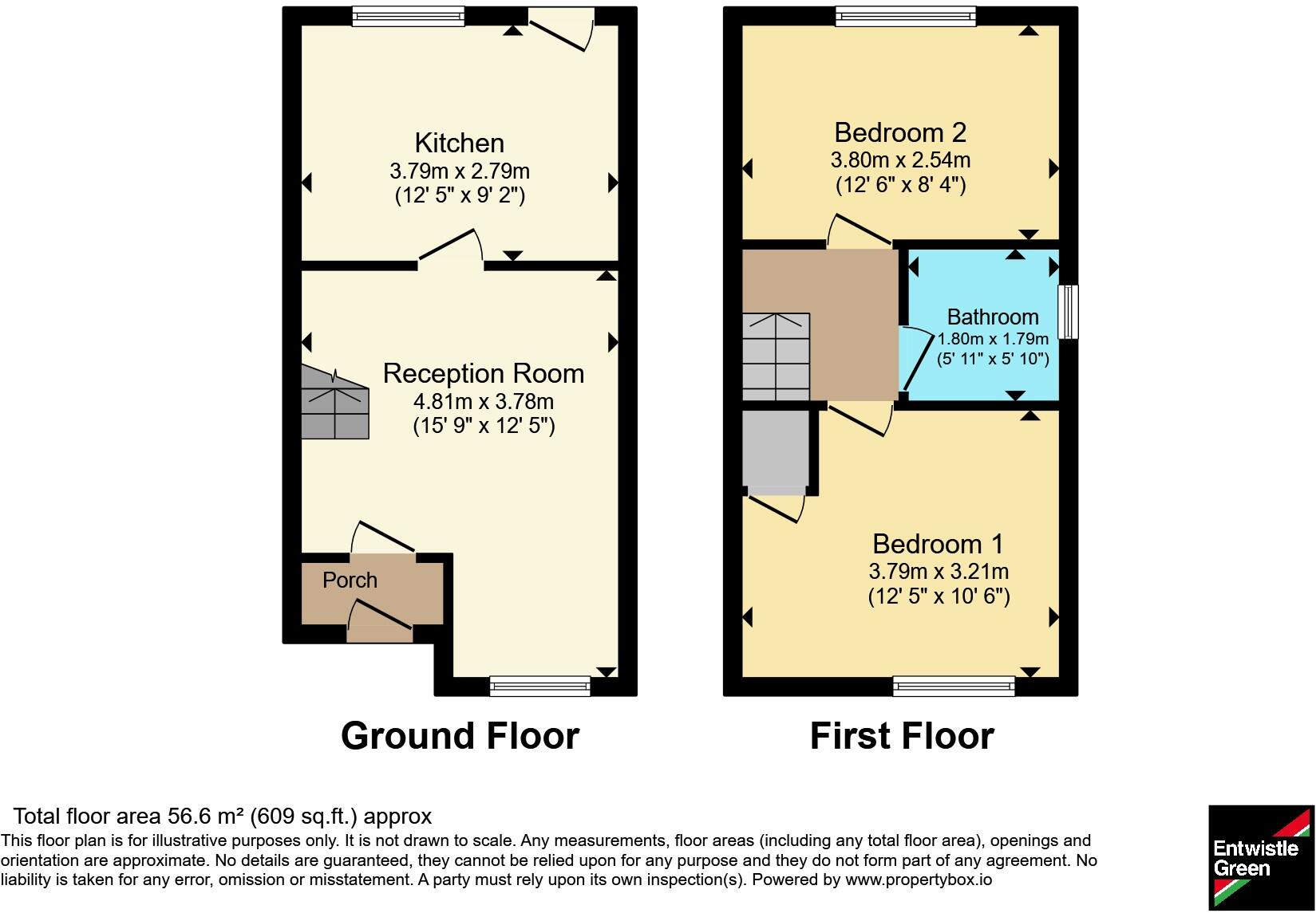
Floorplan
EPC Graphs
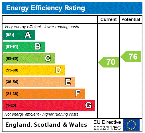
EPC Rating Graph
Price history
10% since 2014
| Event | Date | Price | % change |
|---|---|---|---|
| Listed for sale | — | £180,000 | +44% |
| Sold | 04/03/2016 (10 years ago) | £125,000 | +9.6% |
| Sold | 21/08/2014 (11 years ago) | £114,000 | — |
Source: HM Land Registry Price Paid Data. Crown copyright.
Sold Comparables
Same street and nearby sales within 0.25 miles (last 5 years). Data from Land Registry Price Paid.
| Address | Price | Date | Type |
|---|---|---|---|
| 23 WEATES CLOSE, WIDNES, HALTON, WA8 3RH | £146,000 | 14/10/2022 | Semi-detached |
| 15 WEATES CLOSE, WIDNES, HALTON, WA8 3RH | £147,500 | 05/10/2022 | Semi-detached |
| 25 WEATES CLOSE, WIDNES, HALTON, WA8 3RH | £160,000 | 31/08/2022 | Semi-detached |
| 9 SHELTON CLOSE, WIDNES, HALTON, WA8 3DD | £160,000 | 25/03/2022 | Semi-detached |
| 9 SHELTON CLOSE, WIDNES, HALTON, WA8 3DD | £160,000 | 25/03/2022 | Semi-detached |
| 1 SKYE CLOSE, WIDNES, HALTON, WA8 3YP | £257,000 | 11/03/2022 | Semi-detached |
Area average: £171,750 (6 sales)
Capital growth trend
Land Registry outcode average: last 12 months vs 5y and 10y ago (from sold prices).
House Price Index (HM Land Registry — official index, not sold-price averages): Halton. Series: Semi-detached. As of March 2026.
Rental Range
Estimated market rent for Halton. Low = conservative, Realistic = average, Optimistic = best case.
Based on Local Authority from postcode lookup → Halton.
LHA (30th percentile) floor for North Cheshire: £588/mo (Apr 2025 – Mar 2026)
Location
Nearby
Nearest stations, universities and amenities (distance from property).
| Type | Name | Distance |
|---|---|---|
| Bus stop | Barneston Road | 0.1 miles |
| Shop | Unknown | 0.4 miles |
| Shop | White Moss Garden Centre | 0.6 miles |
| Train station | Widnes | 1.5 miles |
| Train station | Sankey for Penketh | 2.2 miles |
| Hospital | Elizabeth Court Care Centre | 3.8 miles |
| Hospital | Warrington Hospital | 3.8 miles |
| University | University of Chester - Warrington Campus | 6.7 miles |
| University | Liverpool Hope University | 8.0 miles |
Street-level crime
| Category | Count |
|---|---|
| Violence and sexual offences | 18 |
| Anti-social behaviour | 13 |
| Criminal damage and arson | 6 |
| Public order | 6 |
| Other theft | 2 |
| Burglary | 1 |
| Drugs | 1 |
| Other crime | 1 |
| Vehicle crime | 1 |
| Total incidents | 49 |
Within 1 mile during Apr 2026. Source: data.police.uk (England & Wales).
Schools nearby
Nearest open schools with Ofsted ratings (England). Closed schools are not shown. Data from Get Information about Schools and Ofsted.
| Name | Type | Distance | Ofsted |
|---|---|---|---|
| Moorfield Primary School | Primary | 0.5 miles | Good — 4 Nov 2019 |
| Brookfields School | Other | 0.5 miles | — (Inspected (no overall grade)) |
| St John Fisher Catholic Primary School | Primary | 0.7 miles | Good — 4 Dec 2013 |
| The Raise Academy | Other | 0.8 miles | — (No rating) |
| Aspiring Foundations Federated Nursery Schools - Warrington Road Nursery School | Nursery | 0.9 miles | Outstanding — 10 Nov 2014 |
Rental Comparables
Rental comparables are temporarily unavailable while listing-site fetches are paused. Try again later.
Rent-driven metrics
Based on Area rent estimate.
- Rent ratio — Monthly rent ÷ purchase price (1% rule). 1%+ = strong, 0.8–1% = okay, <0.8% = weak for cashflow.
- Max investor price — Rent ÷ 0.8%; the price at which rent would be 0.8% of price (Stoke-style target).
- Target investor price — Rent ÷ 1%; the price at which rent would be 1% of price (strong cashflow band).
- Gross yield — Annual rent as % of purchase price (no costs).