25 ST ANNES COURT
LIVERPOOL, MERSEYSIDE L3 3JP
£575 pcm
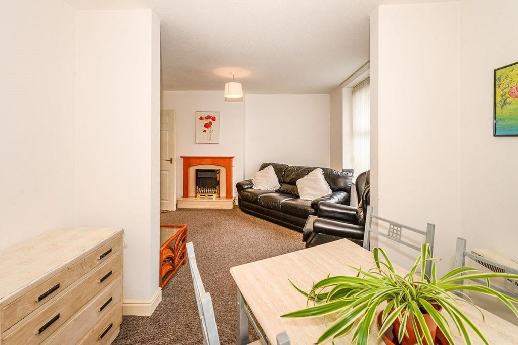
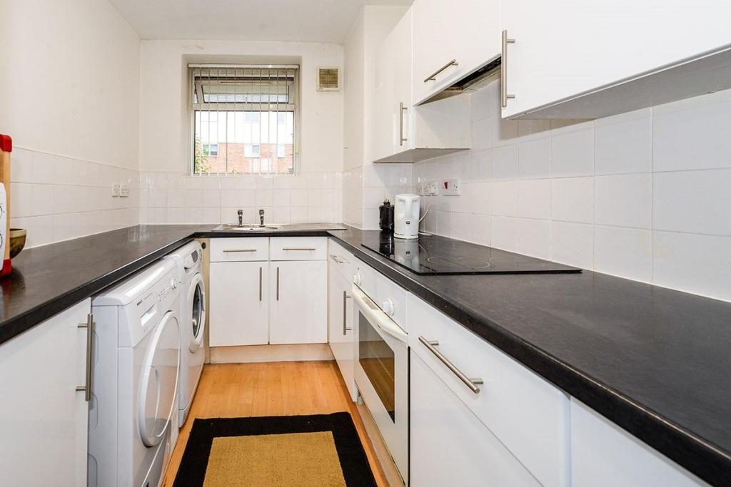
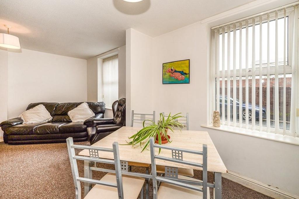
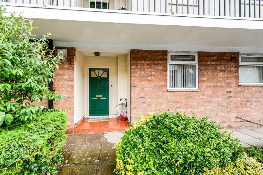
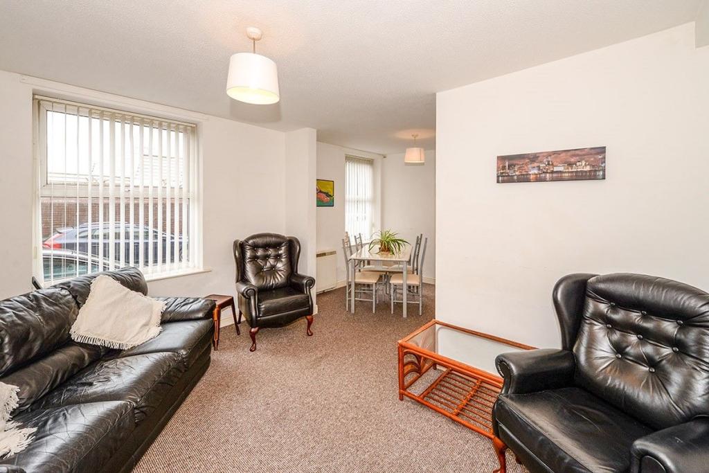
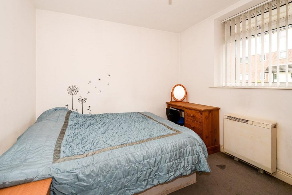
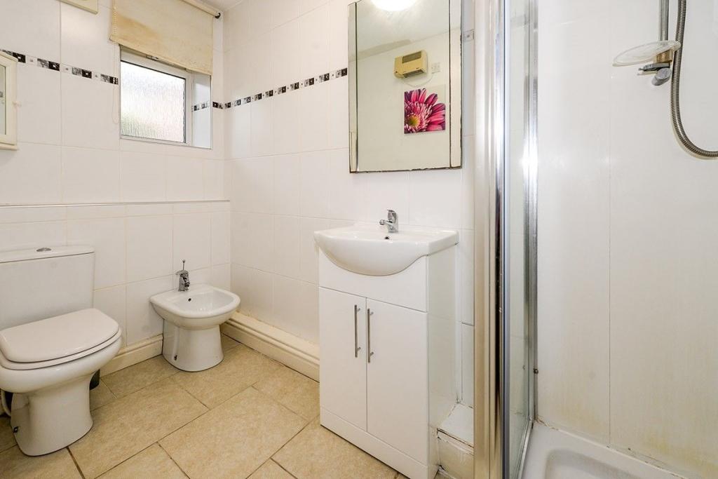
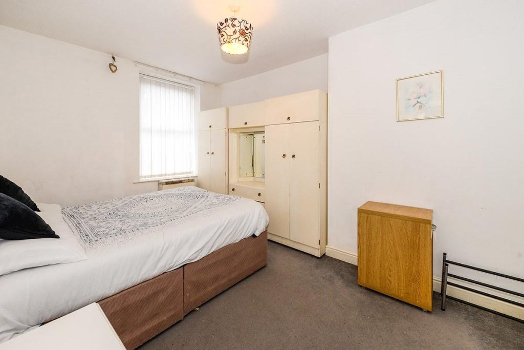
Photo 1 Kitchen Lounge Photo 4 Photo 5 Bedroom 2 Bathroom Bedroom
/ 8
Property details
Deprivation
Decile 2 (4,846 of 33,755)
Street crime
1700 incidents within 1 mile (Apr 2026)
Additional details
- Parking
- Yes
Description
Extremely well presented ground floor apartment just minutes from Liverpool Hospital and University. This ideal first time buyer or investor property is a must view to appreciate not only the ideal location but also the living space it offers. Double glazed and electric heating throughout. Private allocated parking space.
Lounge
Double glazed window to the rear, electric fire with marble effect surround and wood surround. Open plan to the dining room.
Kitchen
Double glazed window to the front aspect, range of modern fitted wall and floor units with contrasting work-surfaces incorporating a single drainer sink, electric hob and builtin oven.
Bedroom
Double glazed window to the rear and a wall mounted electric heater.
Bedroom 2
Double glazed window to the front and a wall mounted electric heater.
Bathroom
Double glazed frosted window to the front and an electric heater. Modern four piece suite comprising of: Low level Wc, was hand basin in vanity unit, bidet and walk-in shower cubicle, tiled surrounds.
/2
Listed by
Liverpool
Favsco 23 Ltd - LSL Franchise
Reference: 73659271
EPC Rating & Upgrade Cost
Fetching EPC data… Refresh this page in a moment.
Flood risk
Zone: 1
Risk: Low
Job (default Low)
Floorplans
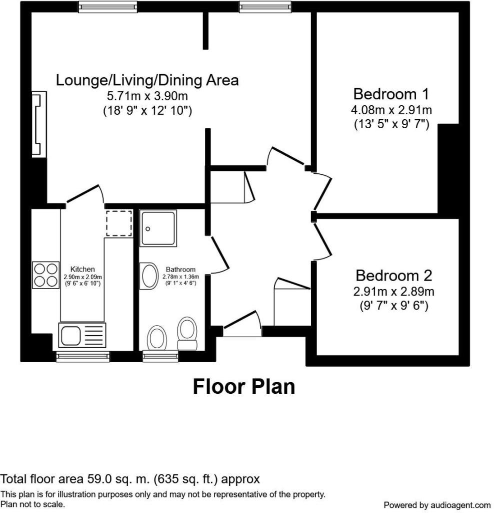
Floorplan 1
Rental Range
Estimated market rent for Liverpool. Low = conservative, Realistic = average, Optimistic = best case.
Based on Local Authority from postcode lookup → Liverpool.
LHA (30th percentile) floor for Greater Liverpool: £593/mo (Apr 2025 – Mar 2026)
Location
Nearby
Nearest stations, universities and amenities (distance from property).
| Type | Name | Distance |
|---|---|---|
| Bus stop | ST ANNE STREET/JUVENAL STREET | 0.1 miles |
| Bus stop | ST ANNE STREET/POLICE STATION | 0.1 miles |
| Shop | Weatherspoons | 0.2 miles |
| Shop | Bestway Cash and Carry | 0.2 miles |
| University | Liverpool John Moores University City Campus | 0.3 miles |
| University | Liverpool Hope University | 0.4 miles |
| Train station | Liverpool Lime Street | 0.5 miles |
| Train station | Moorfields | 0.6 miles |
| Hospital | Royal Liverpool University Hospital | 0.7 miles |
| Hospital | Breckfield and North Everton | 0.9 miles |
Street-level crime
| Category | Count |
|---|---|
| Violence and sexual offences | 508 |
| Drugs | 305 |
| Shoplifting | 201 |
| Public order | 170 |
| Anti-social behaviour | 158 |
| Other theft | 93 |
| Criminal damage and arson | 82 |
| Burglary | 48 |
| Other crime | 37 |
| Vehicle crime | 35 |
| Theft from the person | 25 |
| Possession of weapons | 17 |
| Robbery | 13 |
| Bicycle theft | 8 |
| Total incidents | 1700 |
Within 1 mile during Apr 2026. Source: data.police.uk (England & Wales).
Schools nearby
Nearest open schools with Ofsted ratings (England). Closed schools are not shown. Data from Get Information about Schools and Ofsted.
| Name | Type | Distance | Ofsted |
|---|---|---|---|
| Millstead School | Other | 0.3 miles | Outstanding — 28 Mar 2013 |
| Faith Primary Academy | Primary | 0.3 miles | Good — 14 Jan 2019 |
| Holy Cross Catholic Primary School | Primary | 0.3 miles | Good — 17 Apr 2018 |
| The Trinity Catholic Academy | Primary | 0.5 miles | Inadequate — 13 May 2019 |
| Everton Nursery School and Family Centre | Nursery | 0.5 miles | Outstanding — 17 Jun 2014 |
Rental Comparables
Rental listings exist nearby, but none matched the 2-bedroom count for this property.