35 NICKERWOOD DRIVE
SHEFFIELD, ASTON, SOUTH YORKSHIRE S26 2BX
£895 pcm
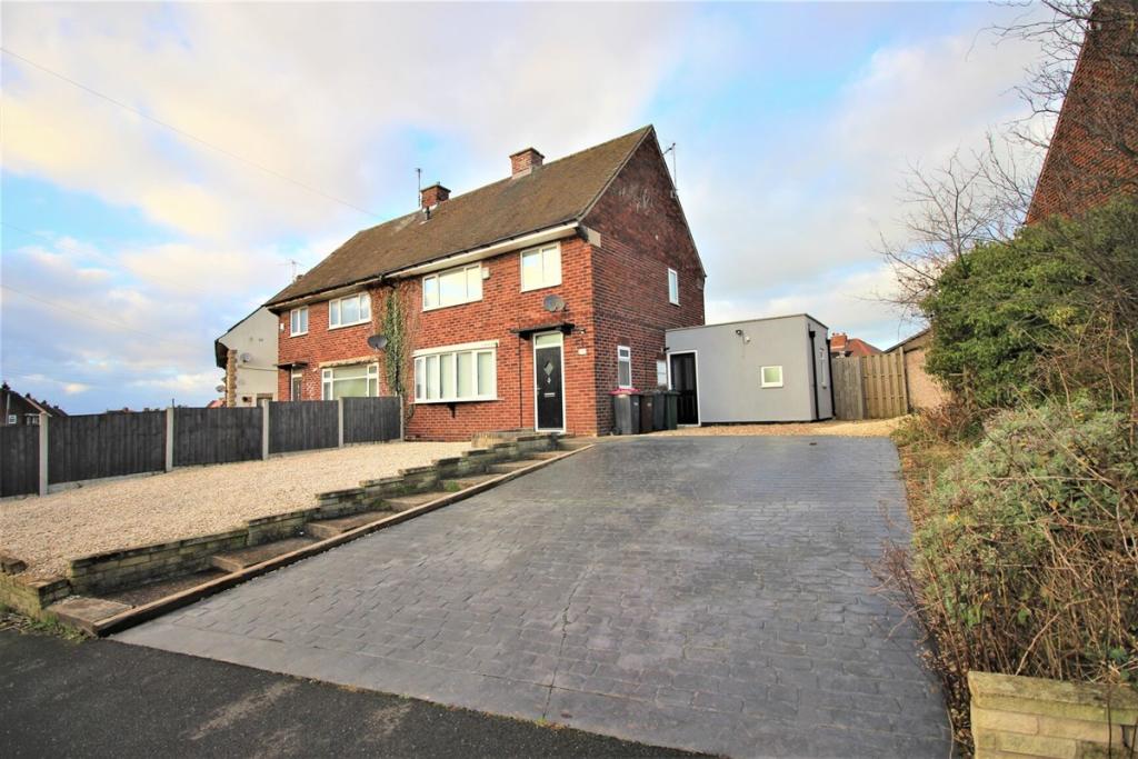
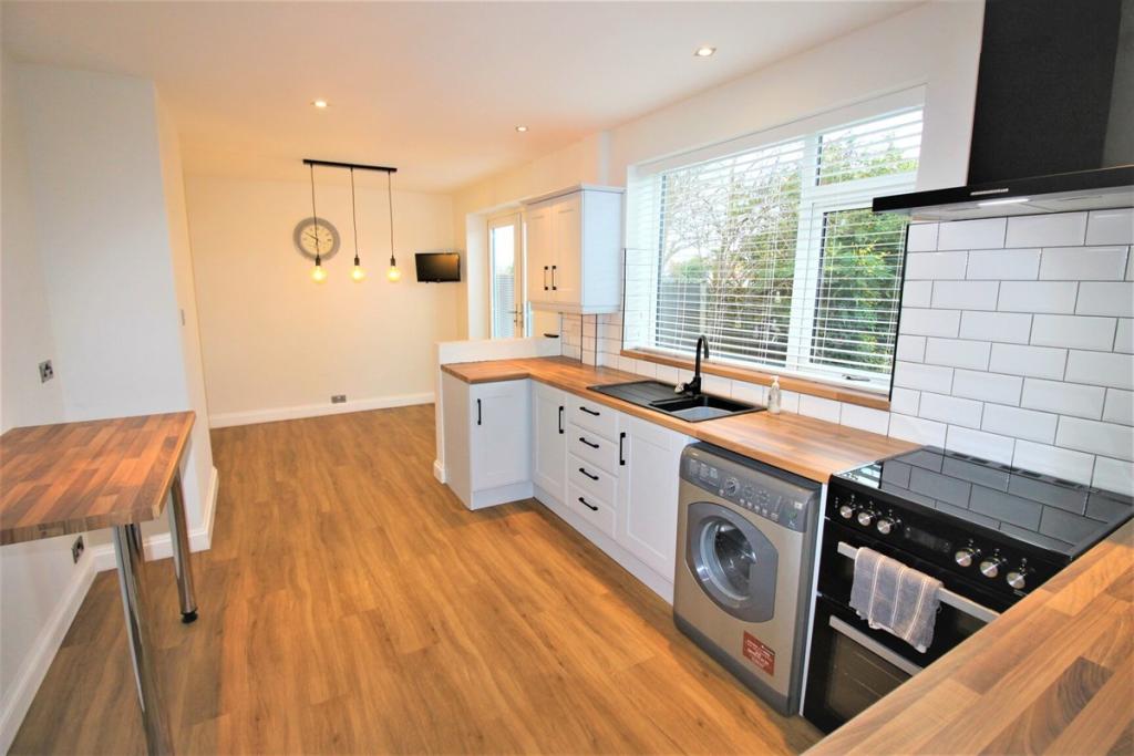
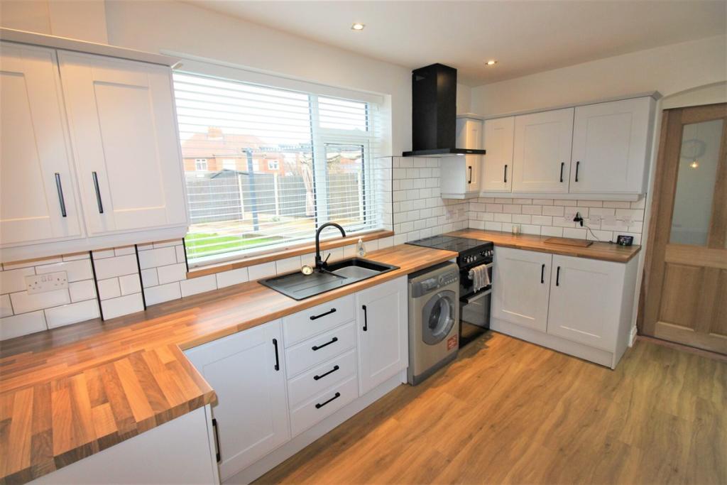
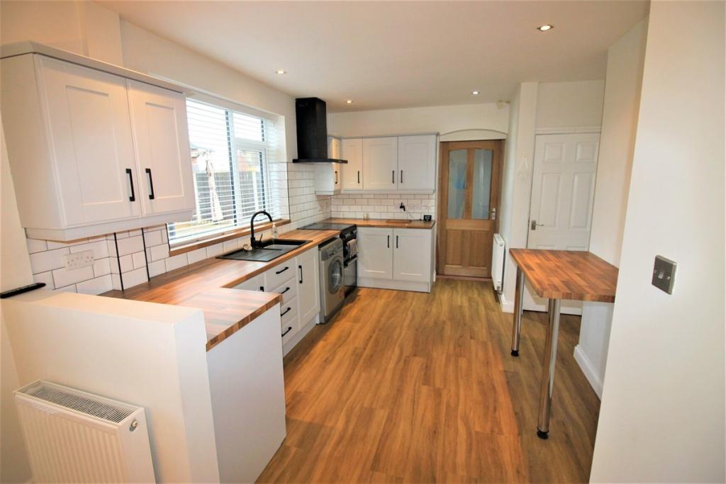
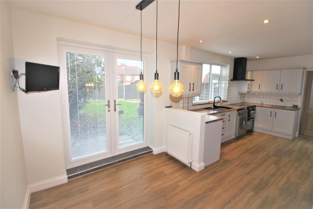
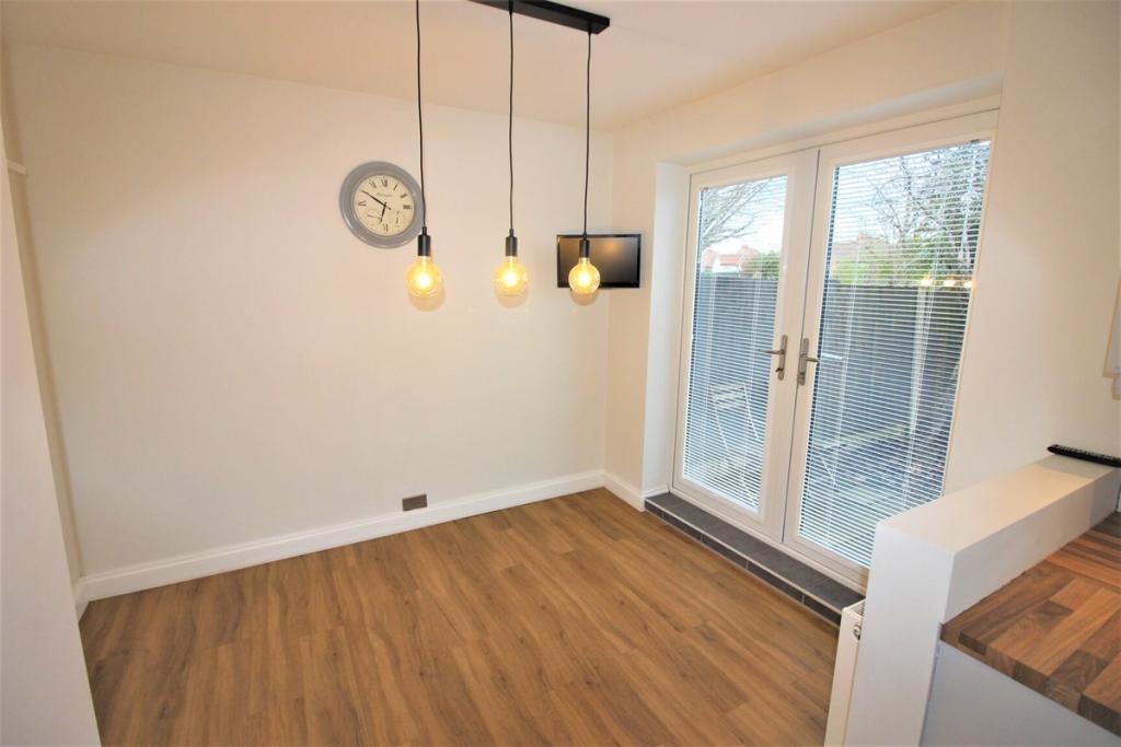
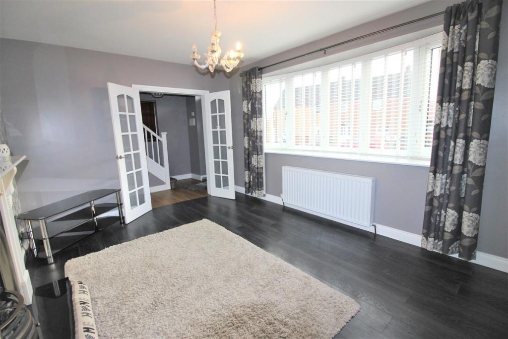
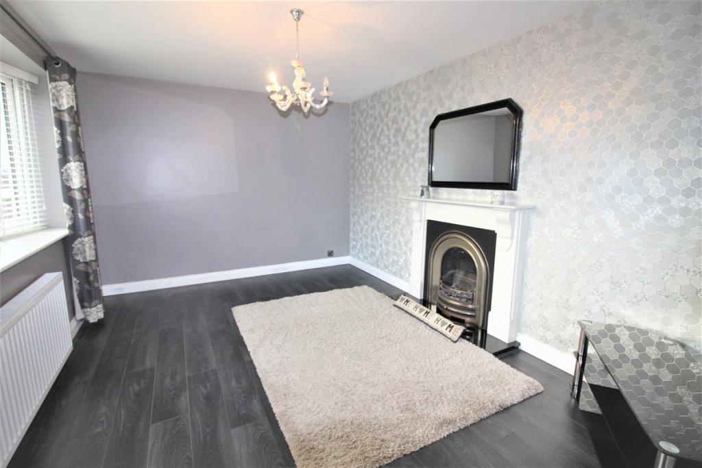
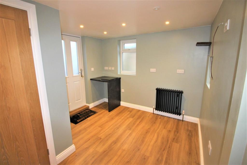
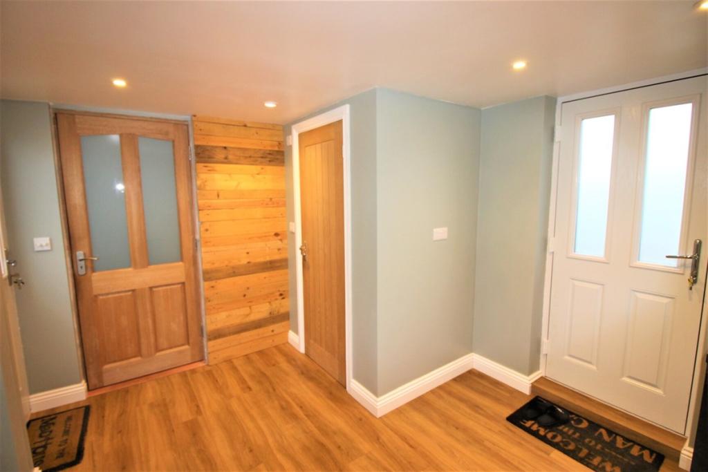
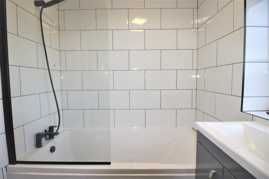
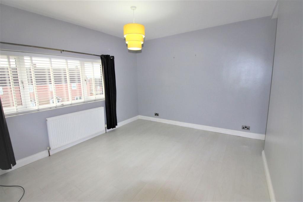
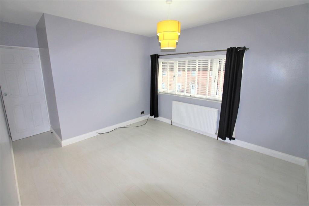
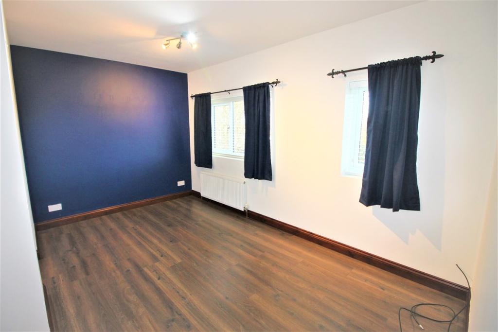
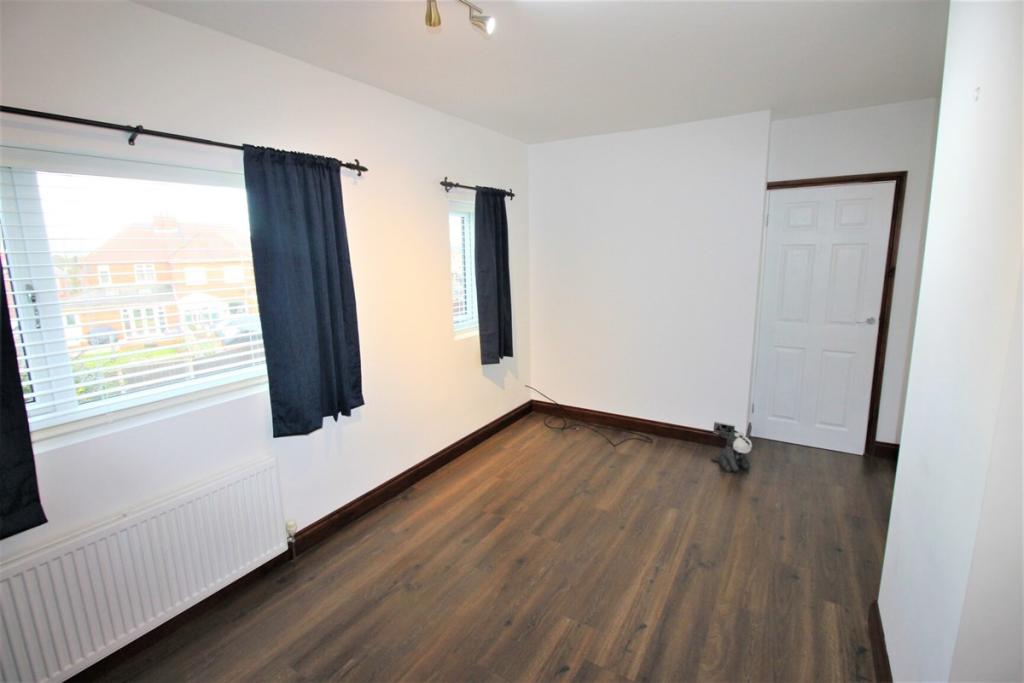
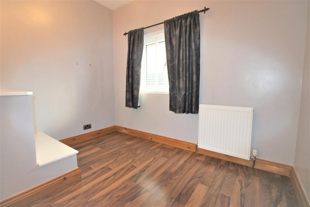
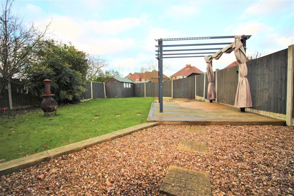
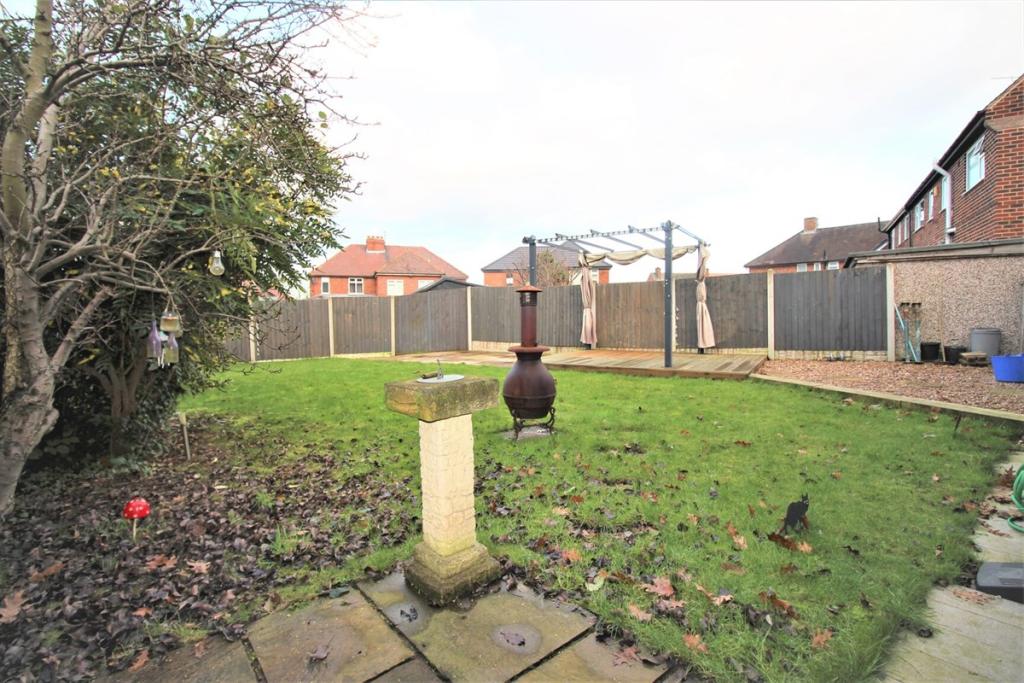
Photo 1 Photo 2 Photo 3 Photo 4 Photo 5 Photo 6 Photo 7 Photo 8 Photo 9 Photo 10 Photo 11 Photo 12 Photo 13 Photo 14 Photo 15 Photo 16 Photo 17 Photo 18 Photo 19 Photo 20
/ 20
Property details
Floor area
95 m²
Deprivation
Decile 3 (6,905 of 33,755)
Street crime
100 incidents within 1 mile (Mar 2026)
Key features
- Double Glazing
- Garden
- Gas Central Heating
- Off Road Parking
Additional details
- Parking
- Yes
- Garden
- Yes
Description
* Double Glazing
* Garden
* Gas Central Heating
* Off Road Parking
Listed by
Sheffield
2Roost
Reference: 130724189
EPC Rating & Upgrade Cost
Fetching EPC data… Refresh this page in a moment.
Flood risk
Zone: 1
Risk: Low
Job (default Low)
Rental Range
Estimated market rent for Rotherham. Low = conservative, Realistic = average, Optimistic = best case.
Based on Local Authority from postcode lookup → Rotherham.
LHA (30th percentile) floor for Rotherham: £549/mo (Apr 2025 – Mar 2026)
Location
Nearby
Nearest stations, universities and amenities (distance from property).
| Type | Name | Distance |
|---|---|---|
| Bus stop | Lodge Lane/Nickerwood Drive | 0.0 miles |
| Bus stop | Mansfield Road/Lodge Lane | 0.1 miles |
| Shop | Unknown | 0.2 miles |
| Hospital | Beighton Community Hospital | 1.8 miles |
| Train station | Woodhouse | 1.9 miles |
| Train station | Kiveton Bridge | 2.2 miles |
| University | The University of Sheffield AMRC | 3.2 miles |
| Hospital | Rotherham General Hospital | 4.1 miles |
| University | Sheffield Hallam University | 6.4 miles |
Street-level crime
| Category | Count |
|---|---|
| Violence and sexual offences | 43 |
| Anti-social behaviour | 25 |
| Criminal damage and arson | 10 |
| Public order | 7 |
| Vehicle crime | 4 |
| Drugs | 3 |
| Other theft | 3 |
| Robbery | 2 |
| Shoplifting | 2 |
| Possession of weapons | 1 |
| Total incidents | 100 |
Within 1 mile during Mar 2026. Source: data.police.uk (England & Wales).
Schools nearby
Nearest open schools with Ofsted ratings (England). Closed schools are not shown. Data from Get Information about Schools and Ofsted.
| Name | Type | Distance | Ofsted |
|---|---|---|---|
| Aston Lodge Primary School | Primary | 0.1 miles | Good — 10 Jul 2023 |
| Aston All Saints CofE (A) Primary School | Primary | 0.4 miles | Good — 30 Nov 2022 |
| Aston Hall Junior and Infant School | Primary | 0.5 miles | Good — 20 Dec 2011 |
| Swallownest Primary School | Primary | 0.6 miles | Good — 21 May 2023 |
| Springwood Junior Academy | Primary | 0.7 miles | Outstanding — 9 Jul 2018 |
Rental Comparables
Residential lets from OpenRent and Rightmove for the area (same bedroom count). Use to validate rent estimates. Student lets are excluded.
| Title | Rent | Beds | Distance | As seen on |
|---|---|---|---|---|
| 3 Bed Semi-Detached House, Mansfield Road, S26 | £1,200/mo | 3 | 0.1 miles | OpenRent |
| 3 Bed Semi-Detached House, Lodge Lane, S26 | £995/mo | 3 | 0.22 miles | OpenRent |
| 3 Bed Semi-Detached House, Estone Drive, S26 | £1,095/mo | 3 | 0.48 miles | OpenRent |
| 3 Bed End Terrace, Queens Road, S26 | £850/mo | 3 | 0.53 miles | OpenRent |
| 3 Bed Flat, Nursery Road, S26 | £850/mo | 3 | 0.63 miles | OpenRent |
| 3 Bed Semi-Detached House, Sorby Road, S26 | £850/mo | 3 | 0.74 miles | OpenRent |
| 3 Bed Terraced House, Main Street, S26 | £900/mo | 3 | 1.02 miles | OpenRent |
Average rent: £963/mo (7 listings)