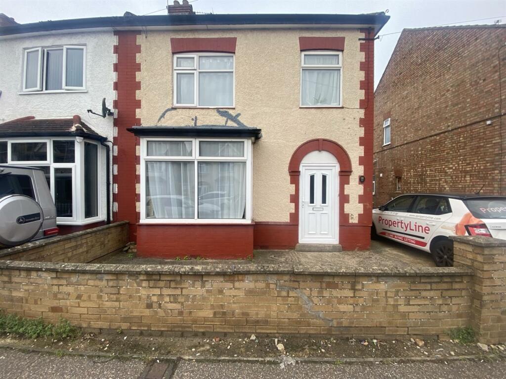
81 PRIORY ROAD
PETERBOROUGH, CITY OF PETERBOROUGH PE3 9EE
£950 pcm
Property details
Floor area
88 m²
Council tax band
B
EPC rating
D
Year built
England and Wales: 1900-1929
Deprivation
Decile 2 (6,040 of 33,755)
Street crime
669 incidents within 1 mile (Apr 2026)
Key features
- WEST TOWN
- Semi-Detached
- Unfurnished Property
- Children Welcome
- Sorry, No Smokers
- Sorry, No Pets Allowed
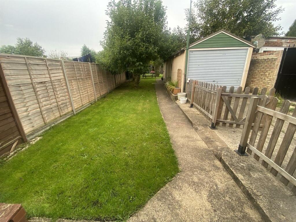
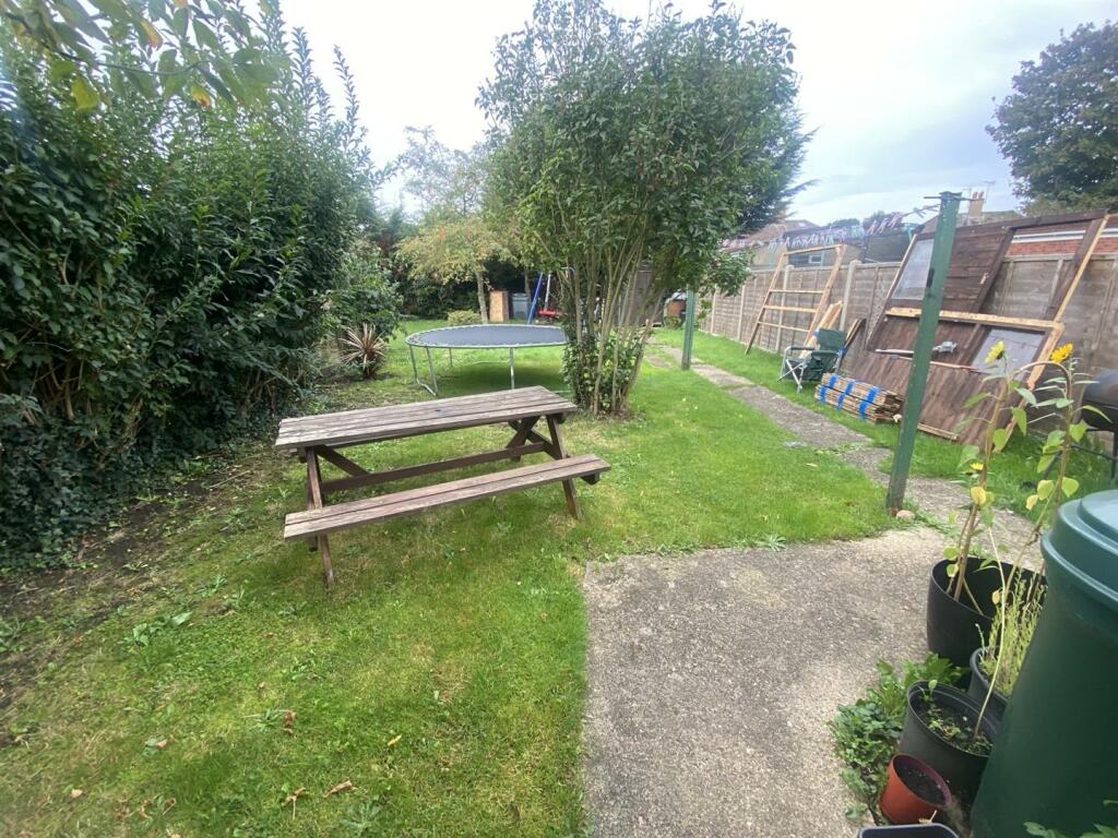
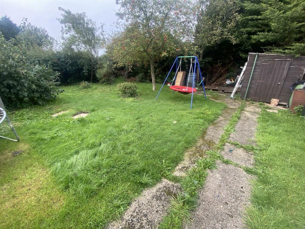
- Large Garden
- Driveway Parking Available
- 3 Bedrooms
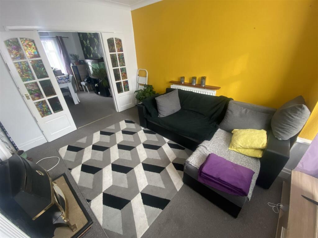
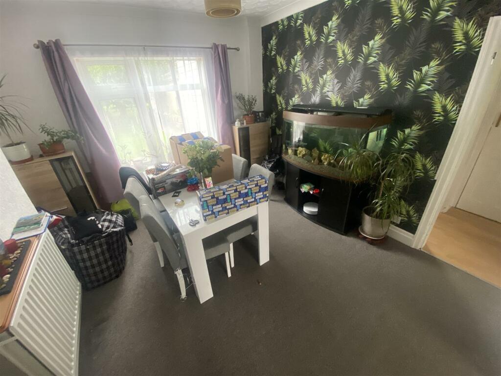
- 2 Receptions
Additional details
- Parking
- Yes
- Garden
- Yes
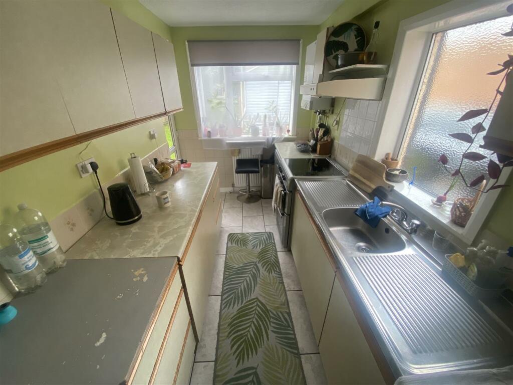
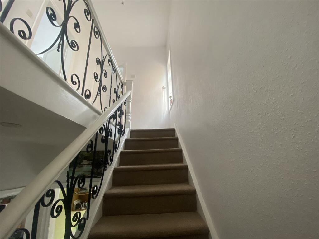
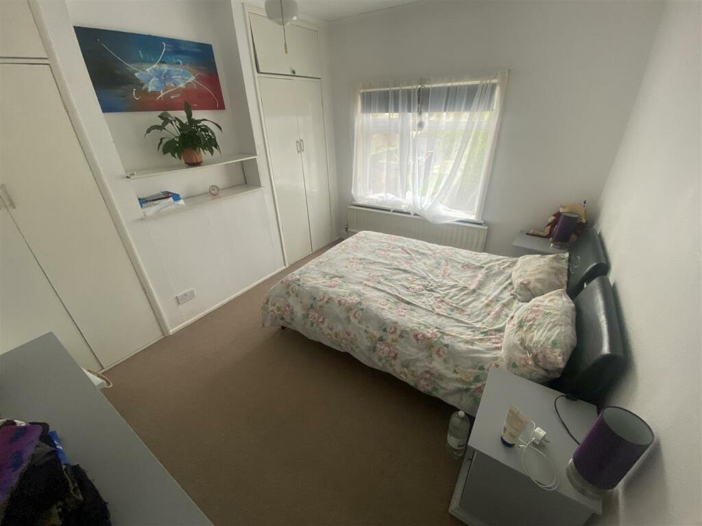
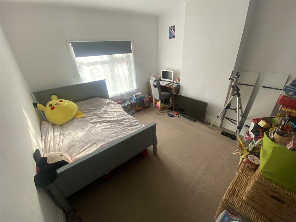
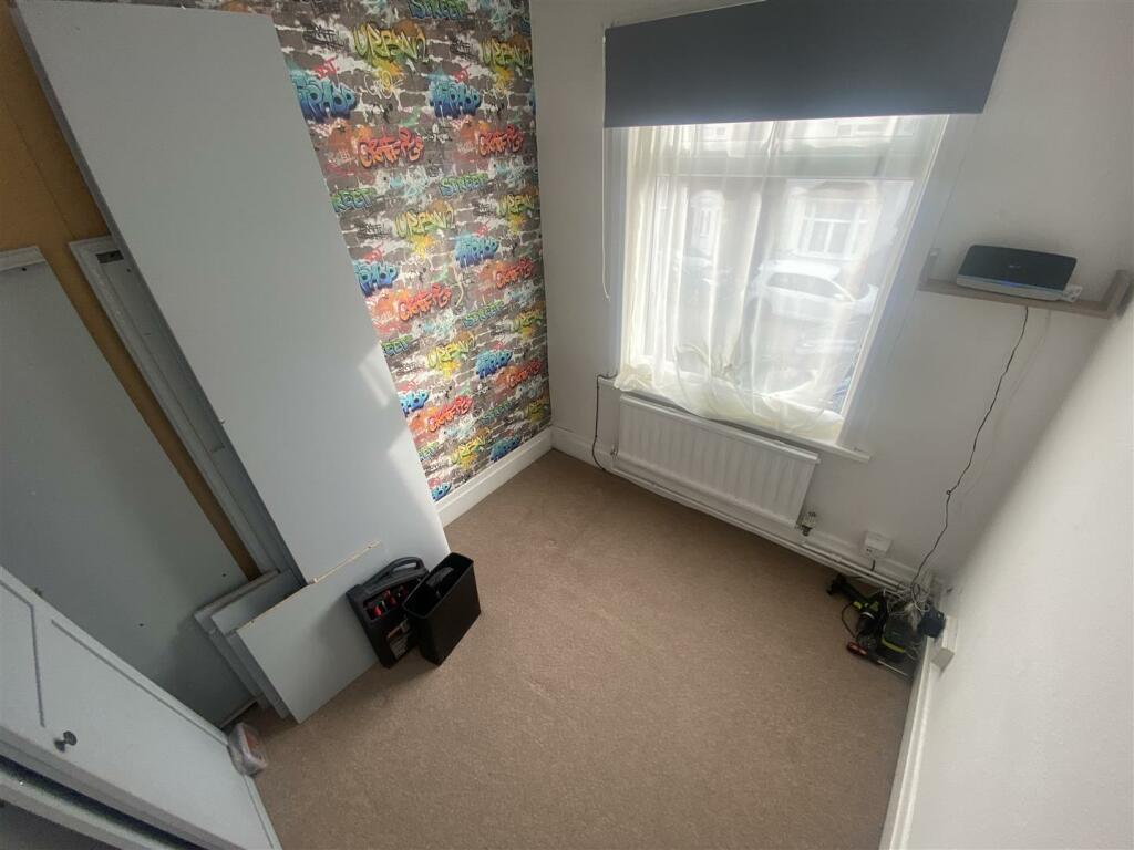
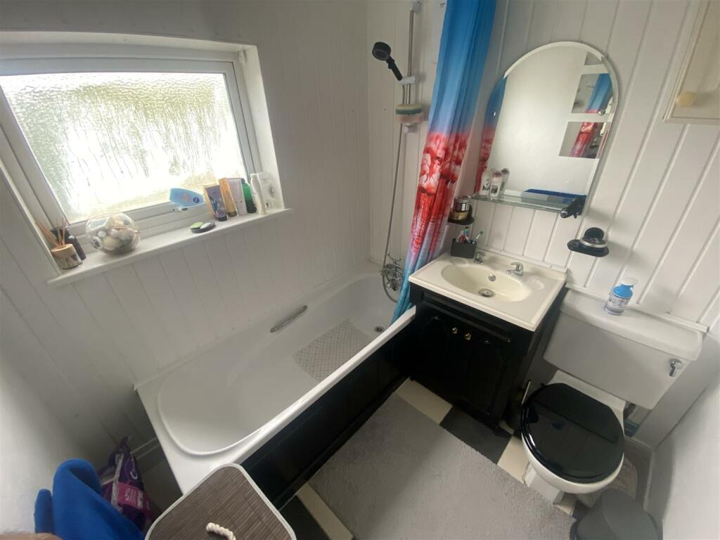
Description
Listed by
Peterborough
PropertyLine
Reference: 145960265
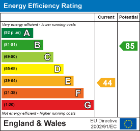
EPC Rating & Upgrade Cost
Current rating: D
Potential rating: B
Inspection date: 25/03/2025
Current heating cost: £1,137/year
Potential heating cost: £684/year
Est. upgrade cost to C: £24,500
Recommendations
- 50 mm internal or external wall insulation (£4,000 - £14,000)
- Floor insulation (suspended floor) (£800 - £1,200)
- Floor insulation (solid floor) (£4,000 - £6,000)
- Solar water heating (£4,000 - £6,000)
- Solar photovoltaic panels, 2.5 kWp (£3,500 - £5,500)
Flood risk
Zone: 1
Risk: Low
Job (default Low)
EPC Graphs
EE Rating
EI Rating
Rental Range
Estimated market rent for Peterborough. Low = conservative, Realistic = average, Optimistic = best case.
Based on Local Authority from postcode lookup → Peterborough.
LHA (30th percentile) floor for Peterborough: £808/mo (Apr 2025 – Mar 2026)
Location
Nearby
Nearest stations, universities and amenities (distance from property).
| Type | Name | Distance |
|---|---|---|
| Bus stop | Prison | 0.1 miles |
| Shop | Unknown | 0.3 miles |
| Shop | Ummah Halal Meats | 0.3 miles |
| Train station | Peterborough | 0.7 miles |
| Hospital | Peterborough City Hospital | 0.8 miles |
| University | City College Peterborough | 1.0 miles |
| Train station | Peterborough (NVR) | 1.1 miles |
| University | ARU Peterborough | 1.3 miles |
Street-level crime
| Category | Count |
|---|---|
| Violence and sexual offences | 231 |
| Anti-social behaviour | 105 |
| Shoplifting | 62 |
| Public order | 52 |
| Criminal damage and arson | 44 |
| Drugs | 39 |
| Other theft | 33 |
| Burglary | 26 |
| Vehicle crime | 25 |
| Other crime | 20 |
| Robbery | 10 |
| Bicycle theft | 8 |
| Possession of weapons | 8 |
| Theft from the person | 6 |
| Total incidents | 669 |
Within 1 mile during Apr 2026. Source: data.police.uk (England & Wales).
Schools nearby
Nearest open schools with Ofsted ratings (England). Closed schools are not shown. Data from Get Information about Schools and Ofsted.
| Name | Type | Distance | Ofsted |
|---|---|---|---|
| West Town Primary Academy | Primary | 0.3 miles | Good — 11 Sep 2017 |
| Richard Barnes Academy | Other | 0.3 miles | — (Inspected (no overall grade)) |
| Gladstone Primary Academy | Primary | 0.4 miles | Good — 5 Dec 2023 |
| The Peterborough School | Other | 0.6 miles | — (No rating) |
| The Beeches Primary School | Primary | 0.6 miles | Good — 15 Jan 2024 |
Rental Comparables
Loading rental comparables for this postcode. Refresh in a few minutes.