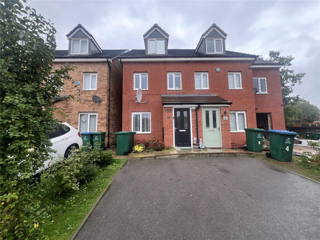
6 HAROLD RAFFERTY CLOSE
COVENTRY, WEST MIDLANDS CV6 5AW
£250,000

Property details
Tenure
FREEHOLD
Floor area
84 m²
Council tax band
TBC
EPC rating
B
Last sold
£250,000 Jan 2026
Price per m²
£2,976/m²
Local average
£232,283 (+7.6%)
Street crime
504 incidents within 1 mile (Apr 2026)
Key features
- GREAT FAMILY HOME
- THREE STOREY LIVING
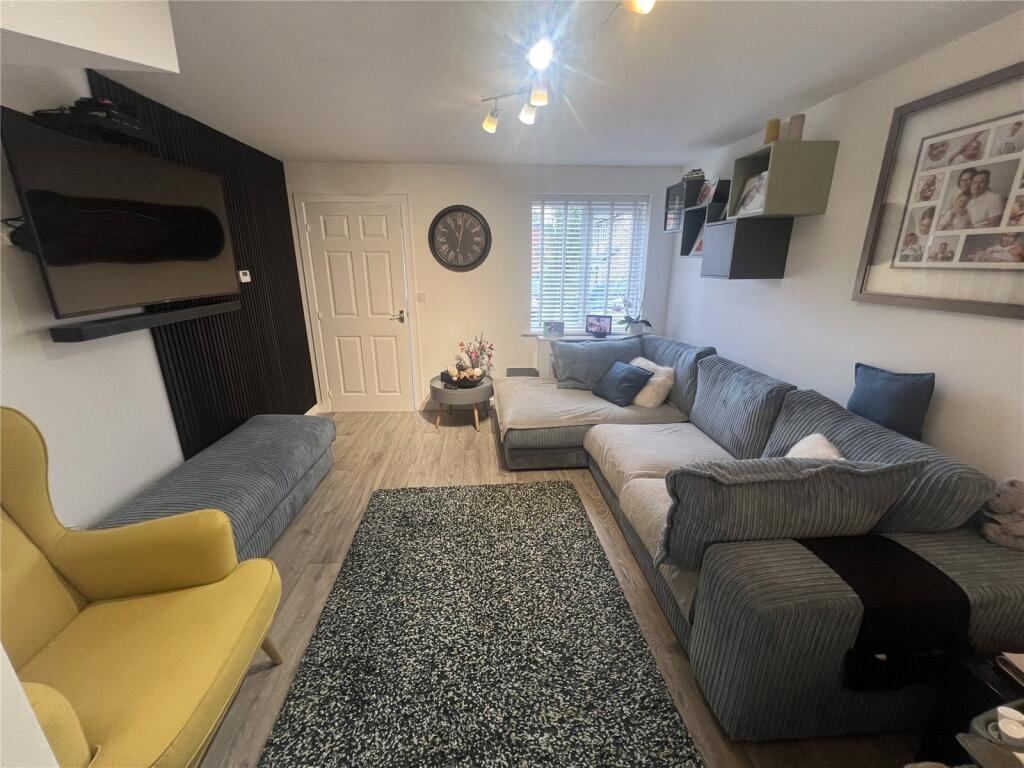
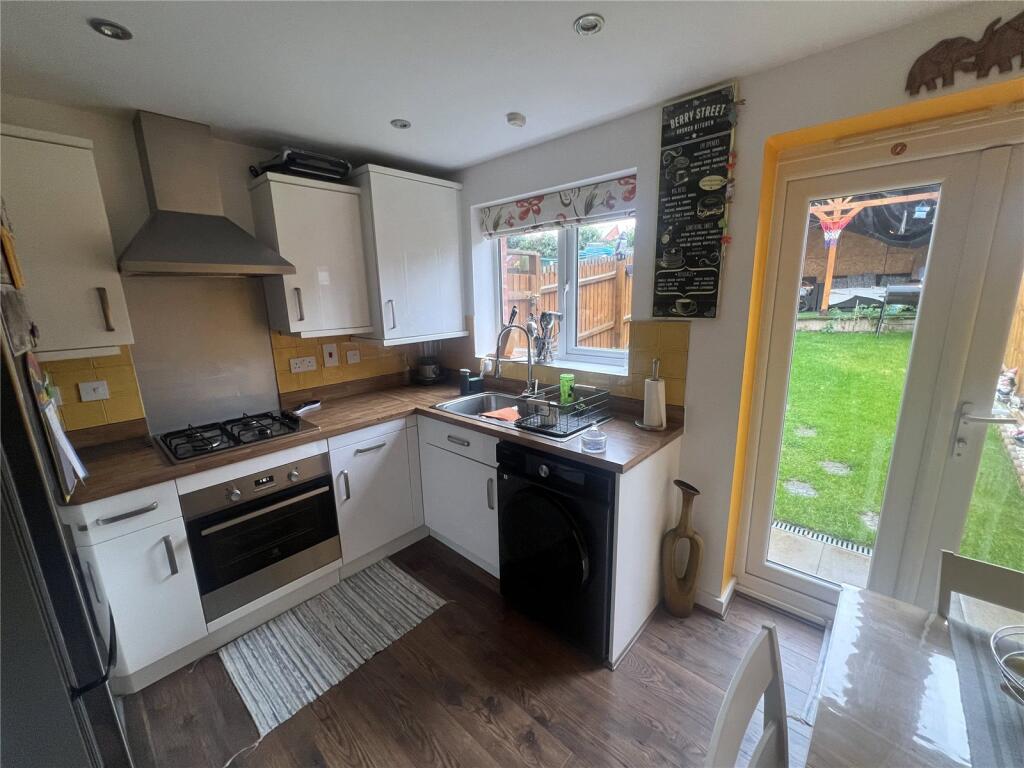
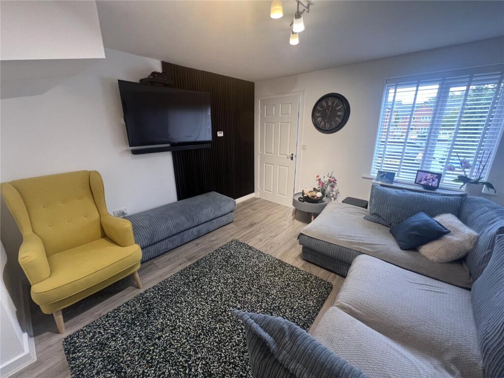
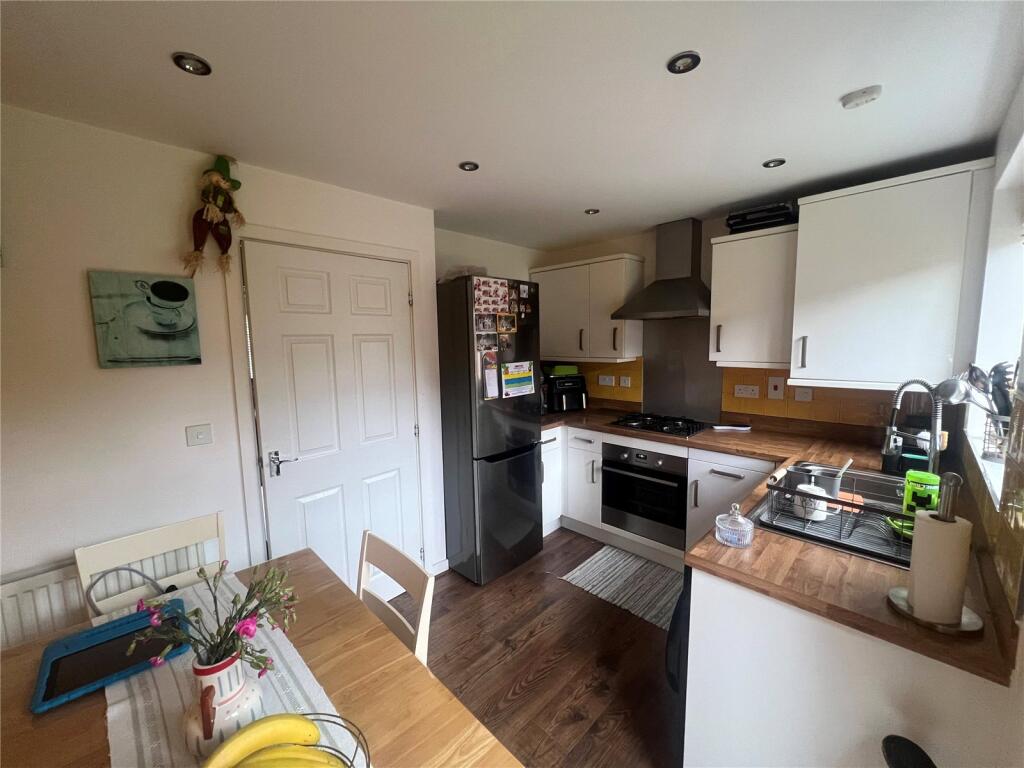
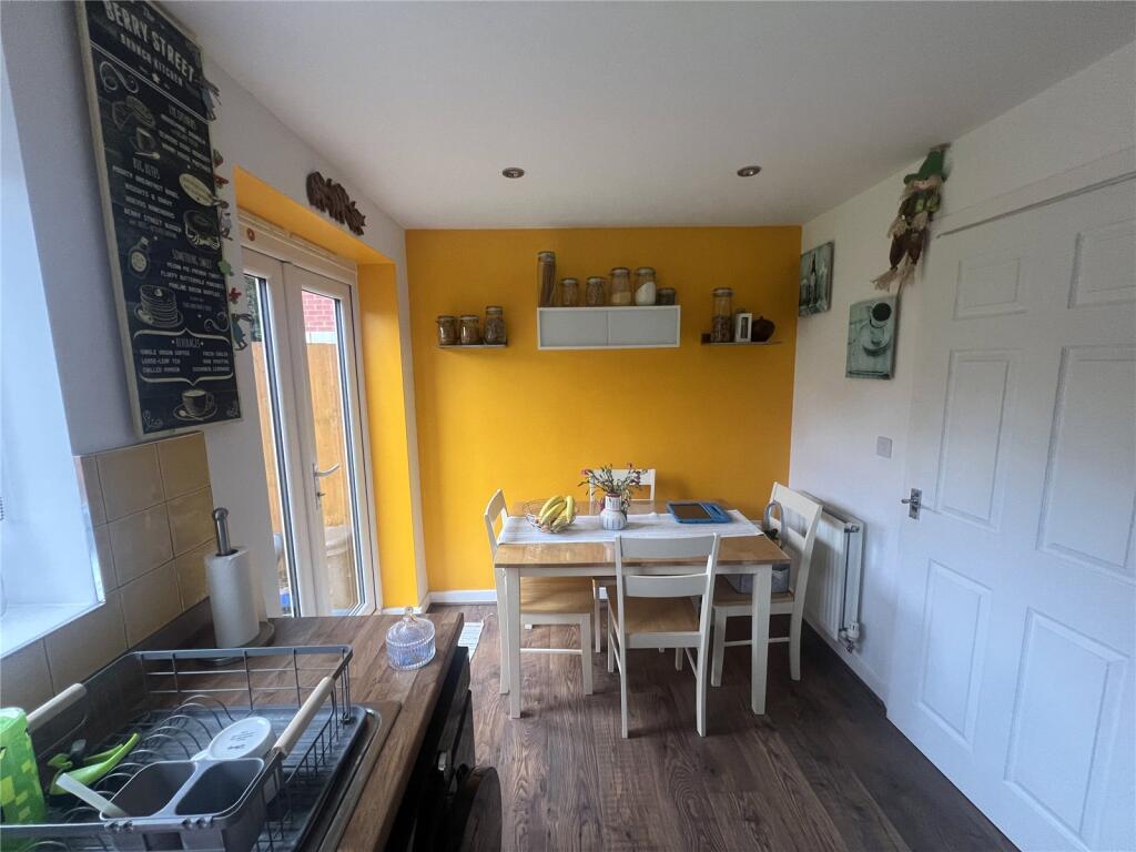
- LOUNGE & FITTED DINING KITCHEN
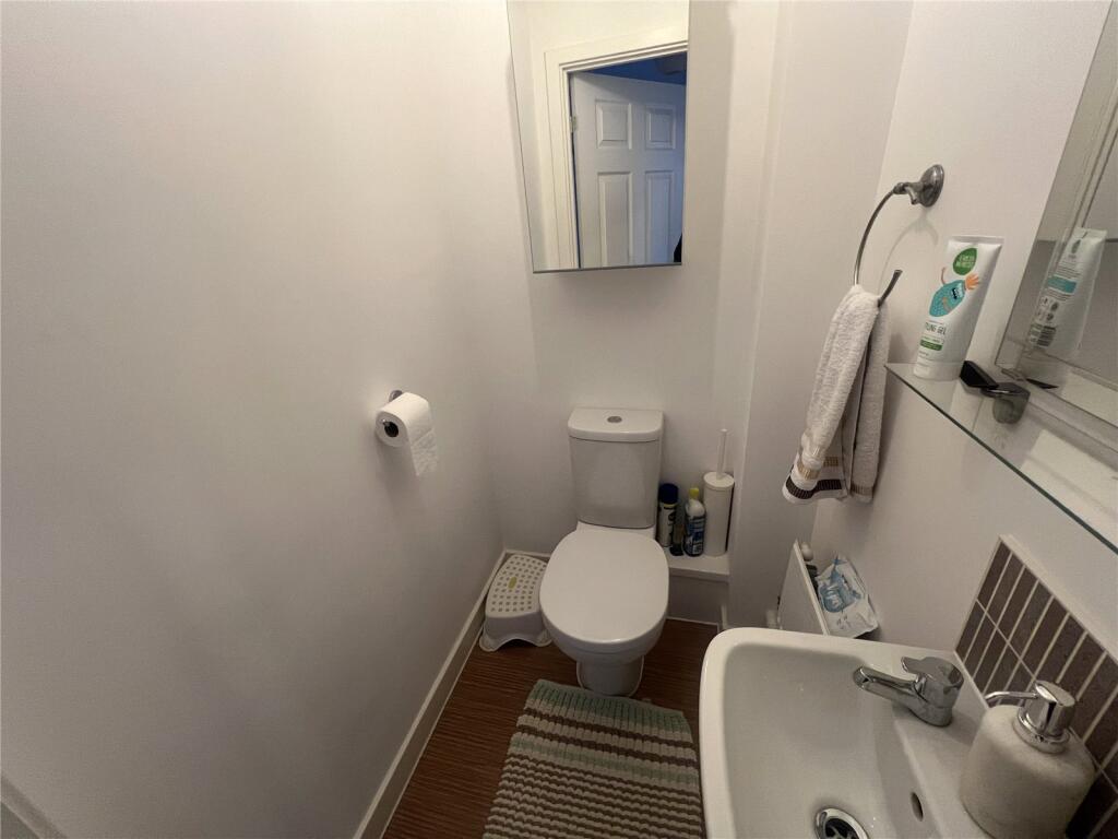
- LOUNGE & GUEST WC
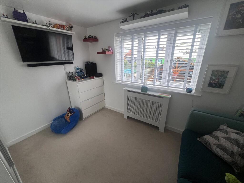
- THREE DOUBLE BEDROOMS
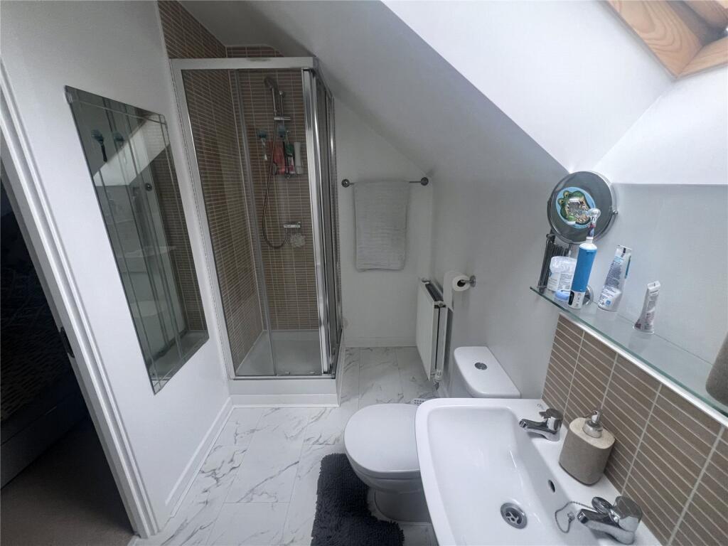
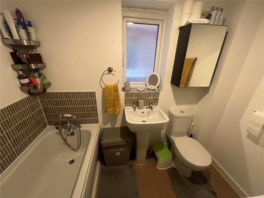
- FAMILY BATHROOM
- MASTER EN-SUITE
- TANDEM DRIVEWAY
- PROPERTY WILL BE FREEHOLD ON COMPLETION
Additional details
- Electricity
- Mains supply
- Water
- Mains supply
- Sewerage
- Mains supply
- Heating
- Gas central
- Parking
- Off street
- Garden
- Yes
Description
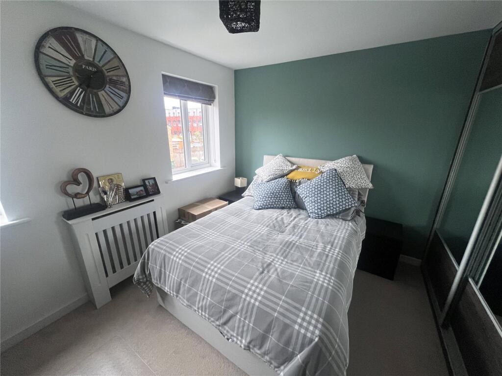
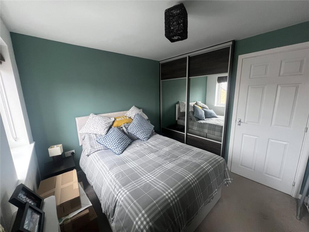
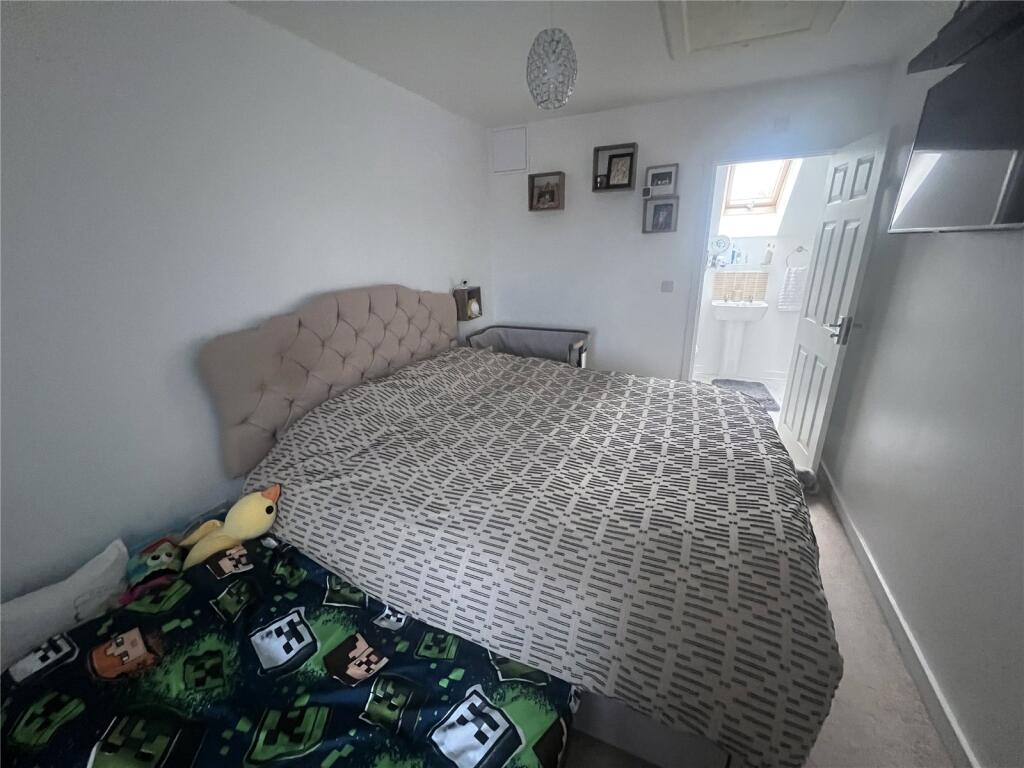
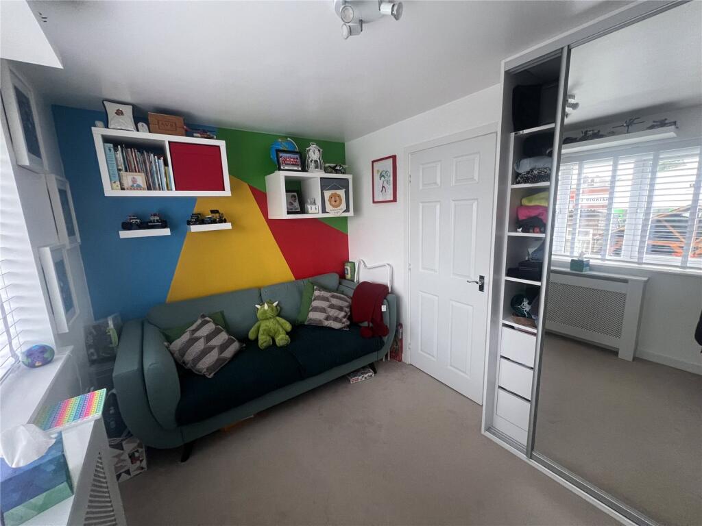
To the first floor there are two double bedrooms and a family bathroom, the master bedroom and en-suite shower room occupies the second floor.
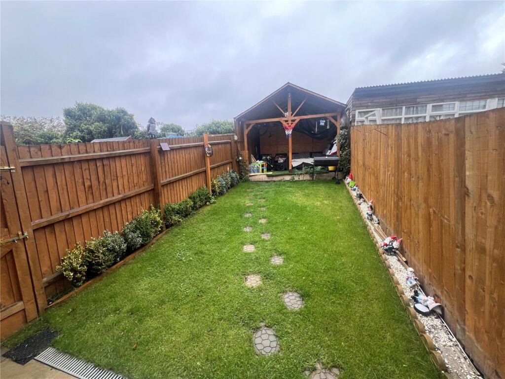
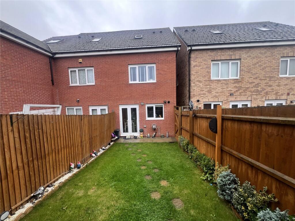
Externally the property benefits from a tandem driveway for two cars and a well maintained rear garden. The property also has gas central heating and double glazing (where specified).
Please note the property is currently leasehold and will be freehold on completion.
Listed by
Radford
Countrywide UK Sales - Connells
Reference: 167793149
EPC Rating & Upgrade Cost
Current rating: B
Potential rating: A
Inspection date: 14/09/2016
Expiry date: 13/09/2026
Current heating cost: £259/year
Potential heating cost: £259/year
Est. upgrade cost to C: £11,500
Recommendations
- Solar water heating (£4,000 - £6,000)
- Solar photovoltaic panels, 2.5 kWp (£5,000 - £8,000)
Flood risk
Zone: 1
Risk: Low
Job (default Low)
Floorplans
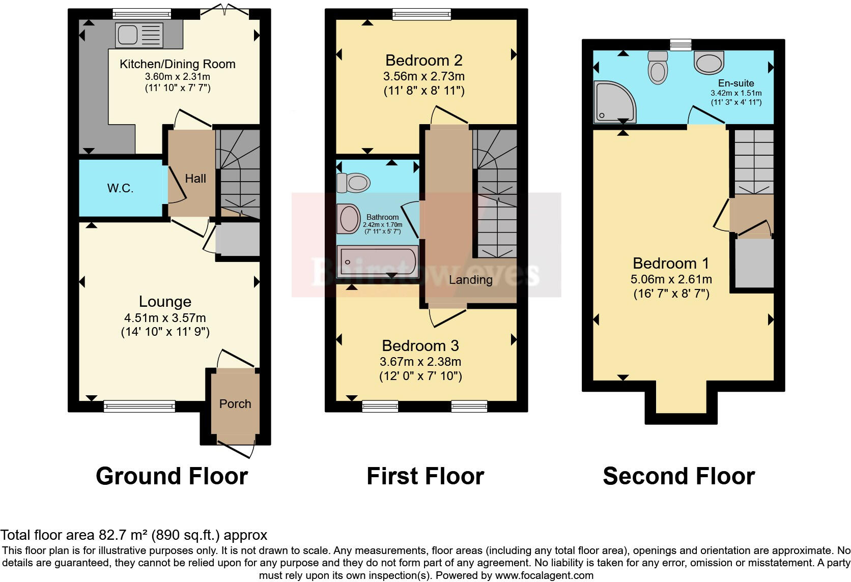
Floorplan
EPC Graphs
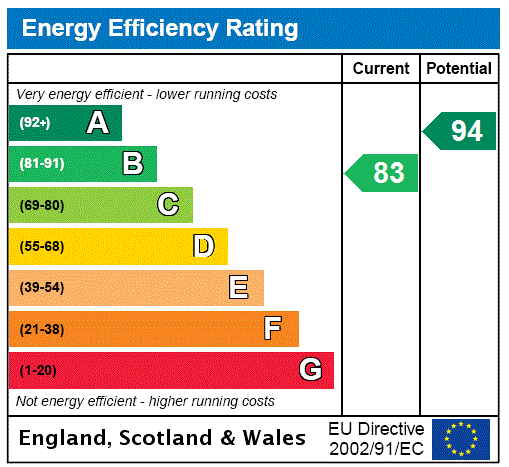
EPC Rating Graph
Price history
43% since 2016
| Event | Date | Price | % change |
|---|---|---|---|
| Sold | 30/01/2026 (4 months ago) | £250,000 | +42.9% |
| Sold | 30/09/2016 (9 years ago) | £174,995 | — |
Source: HM Land Registry Price Paid Data. Crown copyright.
Sold Comparables
Same street and nearby sales within 0.25 miles (last 5 years). Data from Land Registry Price Paid.
| Address | Price | Date | Type |
|---|---|---|---|
| Same street 10 HAROLD RAFFERTY CLOSE, COVENTRY, WEST MIDLANDS, CV6 5AW | £269,500 | 12/09/2025 | Terraced |
| 6 SHORTRIDGE DRIVE, COVENTRY, WEST MIDLANDS, CV6 5BF | £265,000 | 12/09/2025 | Semi-detached |
| Same street 1 HAROLD RAFFERTY CLOSE, COVENTRY, WEST MIDLANDS, CV6 5AW | £246,000 | 31/01/2025 | Semi-detached |
| 3 DRAKE STREET, COVENTRY, WEST MIDLANDS, CV6 5PA | £160,000 | 03/07/2023 | Semi-detached |
| 39 WARRINGTON LANE, COVENTRY, WEST MIDLANDS, CV6 5SJ | £253,000 | 16/06/2023 | Semi-detached |
| 18 WARRINGTON LANE, COVENTRY, WEST MIDLANDS, CV6 5SJ | £245,000 | 19/12/2022 | Semi-detached |
| 32 CHELMSFORD DRIVE, COVENTRY, WEST MIDLANDS, CV6 5NW | £315,000 | 26/09/2022 | Semi-detached |
| 77 ST PAULS ROAD, COVENTRY, WEST MIDLANDS, CV6 5DE | £265,000 | 26/08/2022 | Semi-detached |
| 2 SHORTRIDGE DRIVE, COVENTRY, WEST MIDLANDS, CV6 5BF | £218,000 | 14/06/2022 | Semi-detached |
| 2 COURTELLE ROAD, COVENTRY, WEST MIDLANDS, CV6 5FW | £182,000 | 30/05/2022 | Semi-detached |
| 4 SHORTRIDGE DRIVE, COVENTRY, WEST MIDLANDS, CV6 5BF | £220,000 | 09/05/2022 | Semi-detached |
| 20 SHORTRIDGE DRIVE, COVENTRY, WEST MIDLANDS, CV6 5BF | £200,000 | 11/03/2022 | Semi-detached |
| 7 CHELMSFORD DRIVE, COVENTRY, WEST MIDLANDS, CV6 5NU | £279,000 | 03/12/2021 | Semi-detached |
| 71 CHELMSFORD DRIVE, COVENTRY, WEST MIDLANDS, CV6 5NU | £279,000 | 28/10/2021 | Semi-detached |
| 47 COURTELLE ROAD, COVENTRY, WEST MIDLANDS, CV6 5FH | £210,000 | 29/09/2021 | Semi-detached |
| 37 COURTELLE ROAD, COVENTRY, WEST MIDLANDS, CV6 5FH | £170,250 | 15/09/2021 | Semi-detached |
| 35 COURTELLE ROAD, COVENTRY, WEST MIDLANDS, CV6 5FH | £170,250 | 10/09/2021 | Semi-detached |
| 73 CHELMSFORD DRIVE, COVENTRY, WEST MIDLANDS, CV6 5NU | £279,000 | 27/08/2021 | Semi-detached |
| 1 CHELMSFORD DRIVE, COVENTRY, WEST MIDLANDS, CV6 5NU | £186,000 | 28/06/2021 | Semi-detached |
| 3 CHELMSFORD DRIVE, COVENTRY, WEST MIDLANDS, CV6 5NU | £186,000 | 28/06/2021 | Semi-detached |
| 9 CHELMSFORD DRIVE, COVENTRY, WEST MIDLANDS, CV6 5NU | £264,000 | 28/06/2021 | Semi-detached |
Street average: £257,750 (2 sales)
Area average: £228,763 (19 sales)
Capital growth trend
Land Registry outcode average: last 12 months vs 5y and 10y ago (from sold prices).
House Price Index (HM Land Registry — official index, not sold-price averages): Coventry. Series: Semi-detached. As of March 2026.
Rental Range
Estimated market rent for Coventry. Low = conservative, Realistic = average, Optimistic = best case.
Based on Local Authority from postcode lookup → Coventry.
LHA (30th percentile) floor for Coventry: £773/mo (Apr 2025 – Mar 2026)
Location
Nearby
Nearest stations, universities and amenities (distance from property).
| Type | Name | Distance |
|---|---|---|
| Shop | Centre Point Mot And Tyre Centre | 0.0 miles |
| Shop | Hire Station | 0.1 miles |
| Bus stop | Foleshill Rd / Courtaulds Way | 0.1 miles |
| University | Coventry University - Foleshill Studios | 0.3 miles |
| Hospital | George Elliot Medical Centre | 0.4 miles |
| Hospital | City of Coventry Health Centre | 0.7 miles |
| University | Coventry University | 1.1 miles |
| Train station | Coventry Arena | 1.6 miles |
| Train station | Coventry | 1.7 miles |
Street-level crime
| Category | Count |
|---|---|
| Violence and sexual offences | 227 |
| Criminal damage and arson | 48 |
| Vehicle crime | 46 |
| Other theft | 39 |
| Public order | 25 |
| Anti-social behaviour | 23 |
| Shoplifting | 22 |
| Burglary | 18 |
| Robbery | 16 |
| Drugs | 15 |
| Possession of weapons | 13 |
| Other crime | 7 |
| Bicycle theft | 4 |
| Theft from the person | 1 |
| Total incidents | 504 |
Within 1 mile during Apr 2026. Source: data.police.uk (England & Wales).
Schools nearby
Nearest open schools with Ofsted ratings (England). Closed schools are not shown. Data from Get Information about Schools and Ofsted.
| Name | Type | Distance | Ofsted |
|---|---|---|---|
| Broad Heath Community Primary School | Primary | 0.2 miles | Good — 17 Nov 2021 |
| John Gulson Primary School | Primary | 0.4 miles | Good — 3 Jul 2024 |
| St Elizabeth's Catholic Primary School | Primary | 0.4 miles | Good — 10 Mar 2024 |
| Joseph Cash Primary School | Primary | 0.5 miles | Good — 24 Jun 2015 |
| Stanton Bridge Primary School | Primary | 0.5 miles | Good — 12 Jan 2020 |
Rental Comparables
Residential lets from OpenRent and Rightmove for the area (same bedroom count). Use to validate rent estimates. Student lets are excluded.
| Title | Rent | Beds | Distance | As seen on |
|---|---|---|---|---|
| 3 Bed Terraced House, Widdrington Road, CV1 | £1,000/mo | 3 | 0.39 miles | OpenRent |
Average rent: £1,000/mo (1 listing)
Rent-driven metrics
Based on OpenRent comparables.
- Rent ratio — Monthly rent ÷ purchase price (1% rule). 1%+ = strong, 0.8–1% = okay, <0.8% = weak for cashflow.
- Max investor price — Rent ÷ 0.8%; the price at which rent would be 0.8% of price (Stoke-style target).
- Target investor price — Rent ÷ 1%; the price at which rent would be 1% of price (strong cashflow band).
- Gross yield — Annual rent as % of purchase price (no costs).
- Cost-to-rent — Price ÷ annual rent (from OpenRent comparables). Under 14× = strong, 14–16× = acceptable, 17×+ = compressed.
- Cashflow — Rent minus mortgage, 10% maintenance, £25/mo compliance. Assumes 75% LTV, 3.95% APR (5yr fixed), 25yr term.
- ROI — Annual profit ÷ cash in (deposit + 4% purchase costs).