ANGEL HOUSE
PILGRIMS LANE, WHITSTABLE, SEASALTER, KENT CT5 3AP
£1,450 pcm
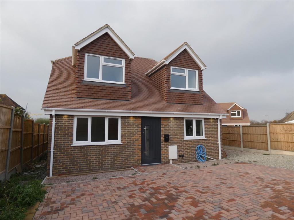


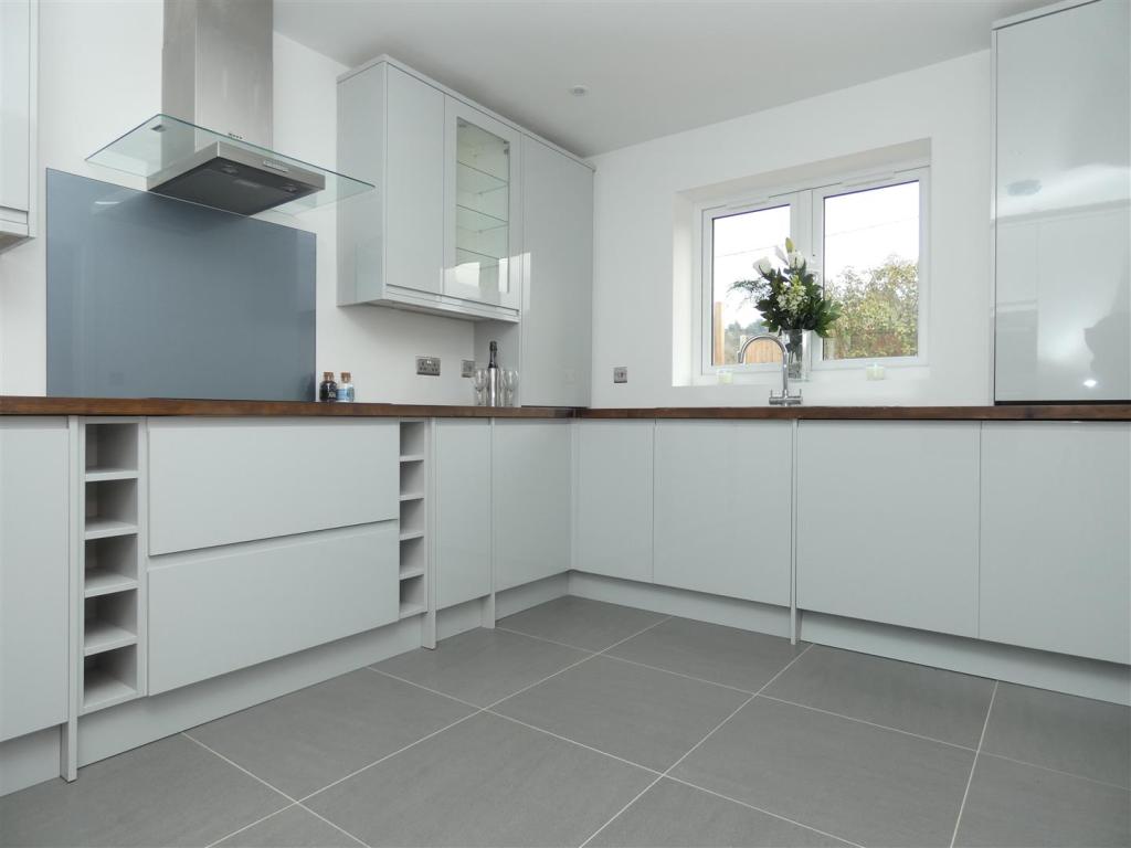
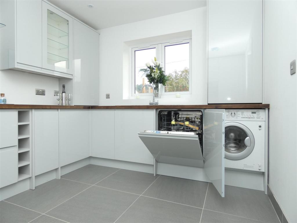
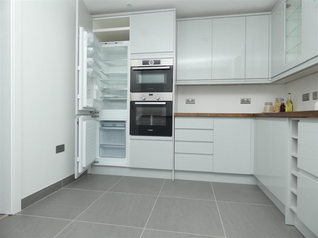
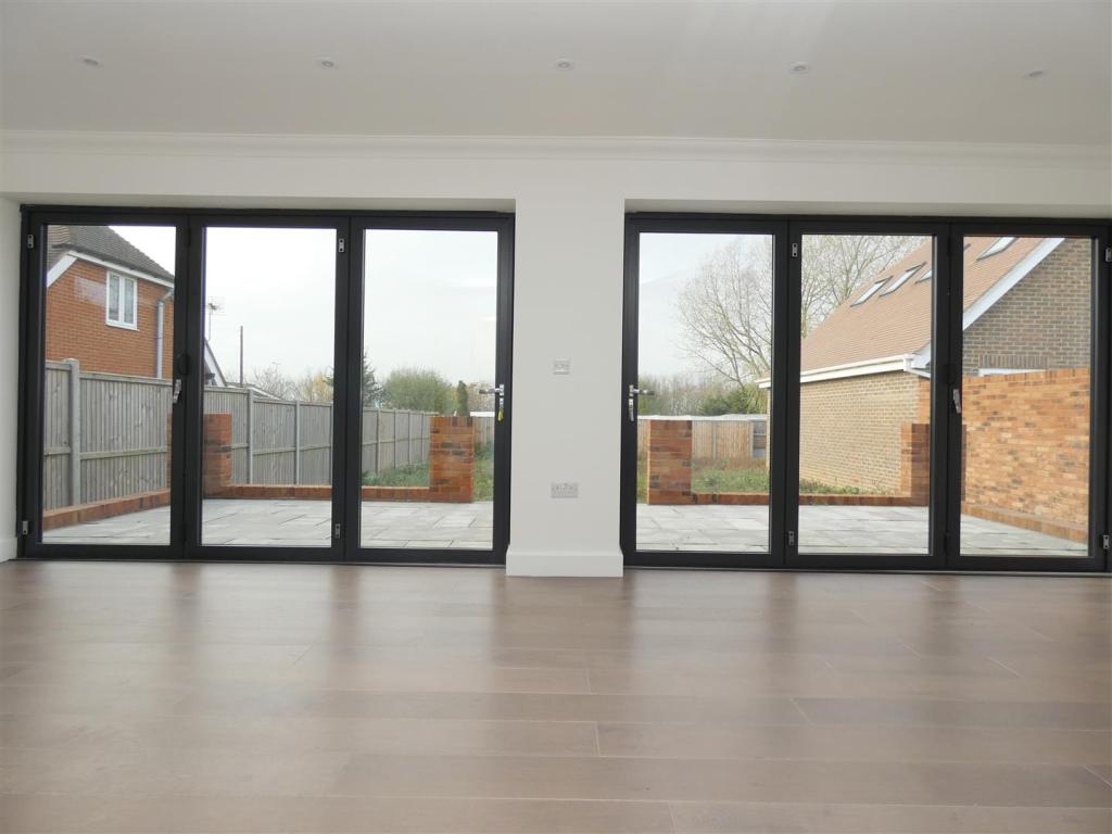
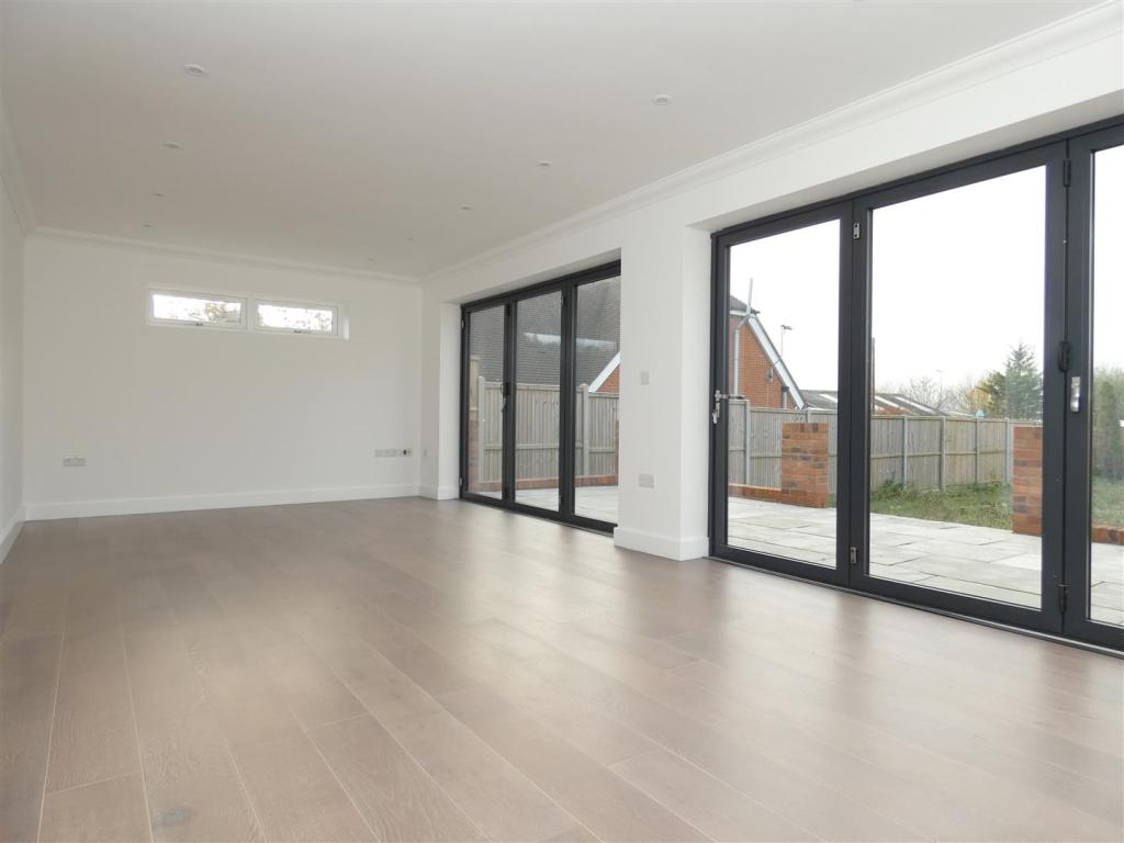
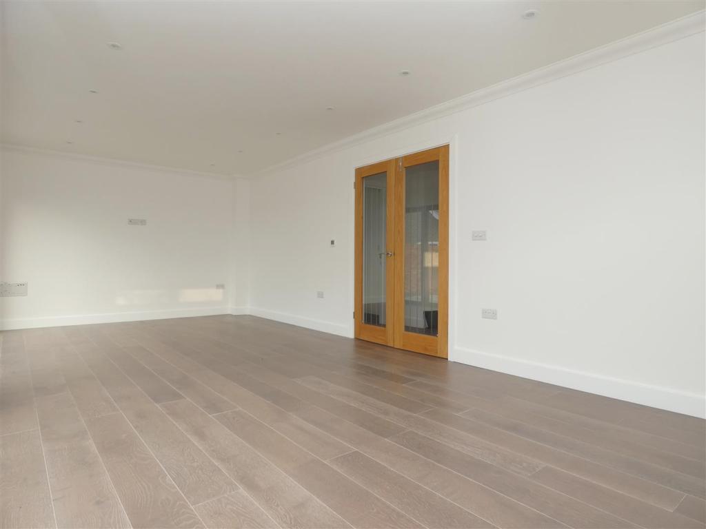
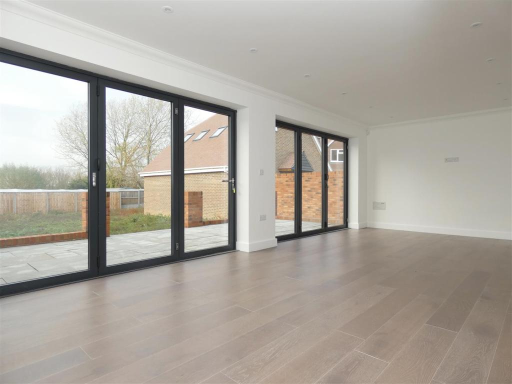
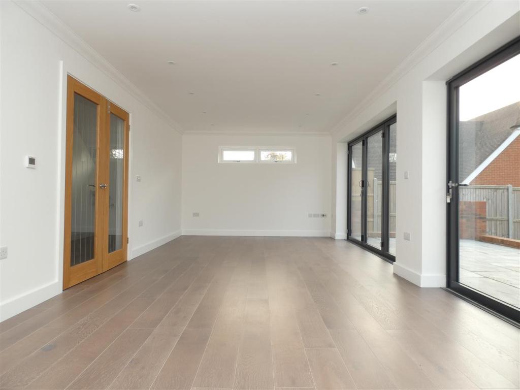
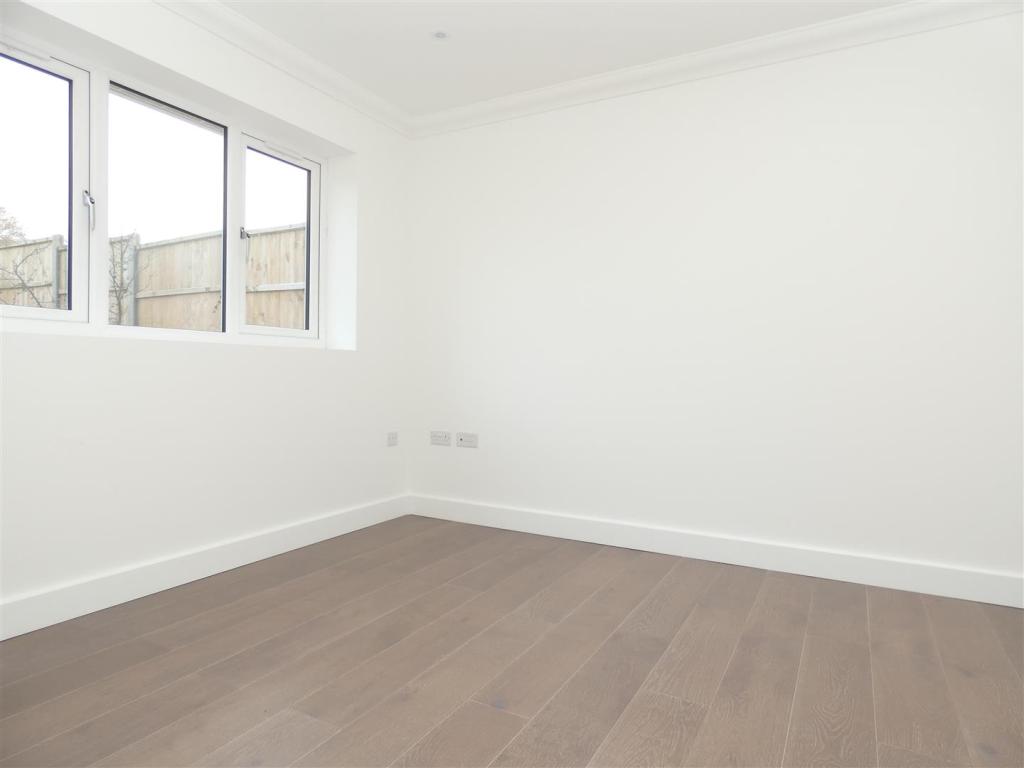
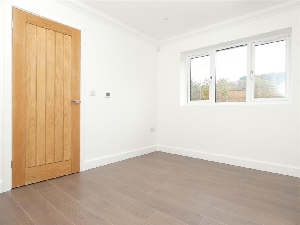
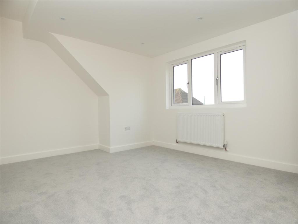
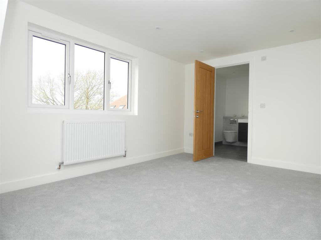
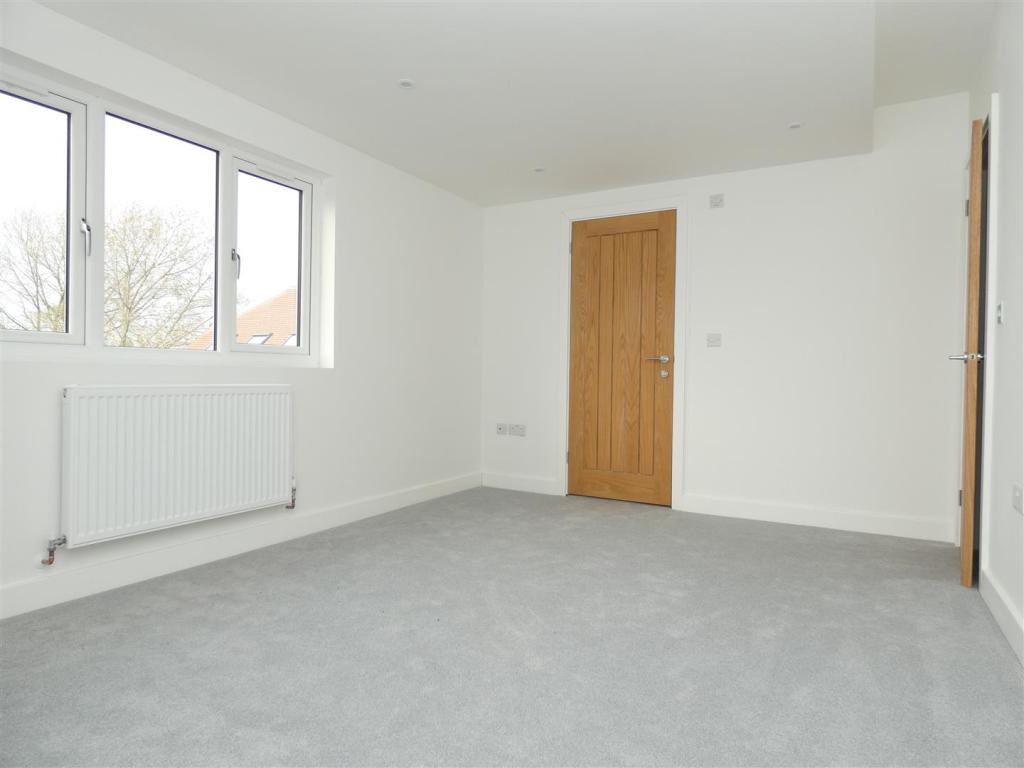
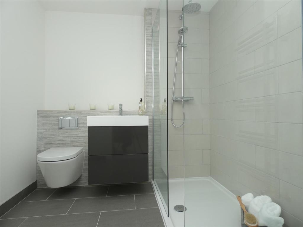
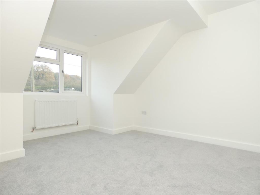
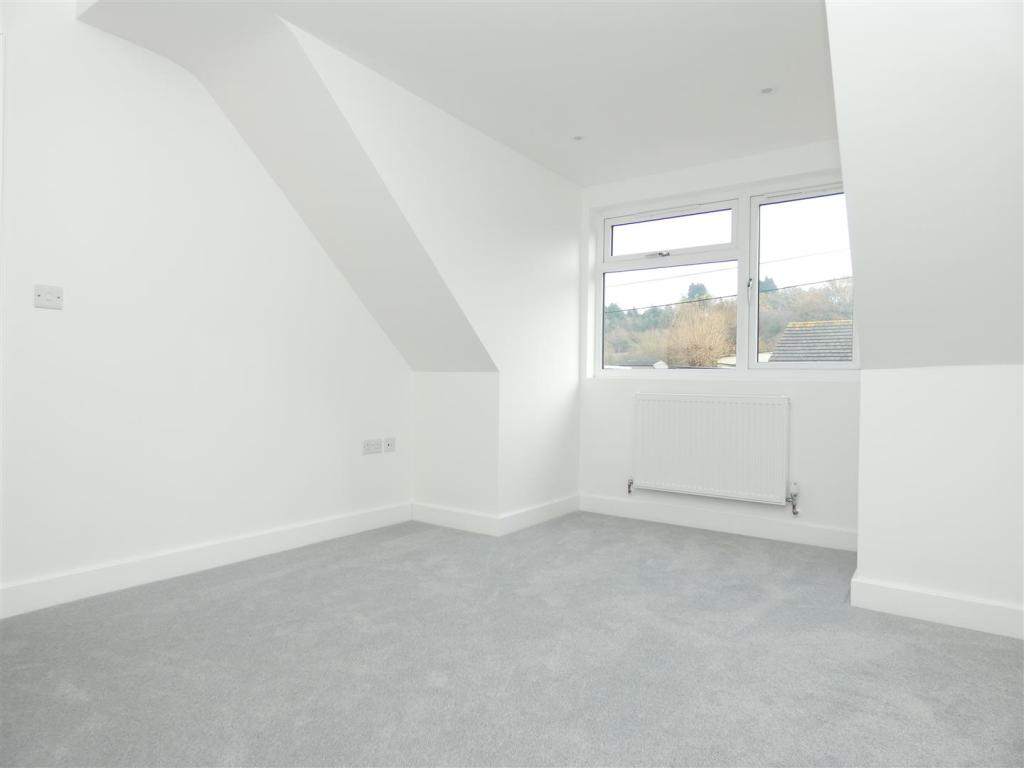
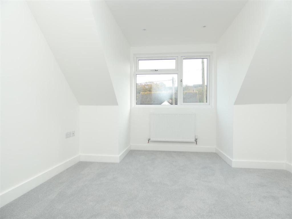
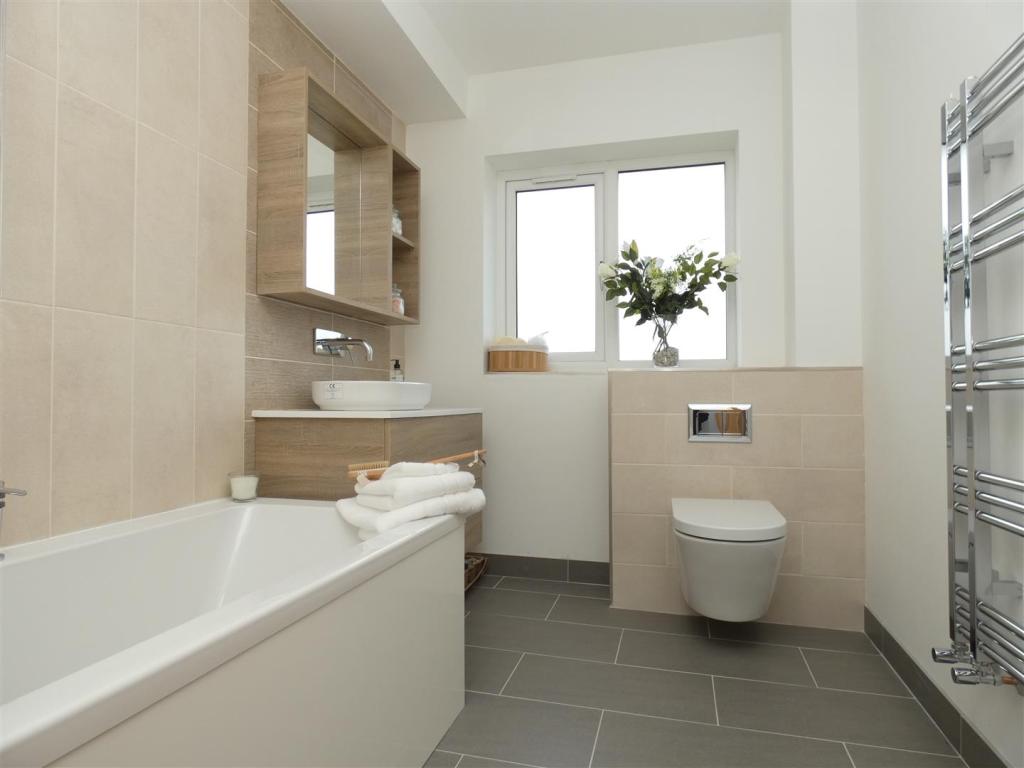
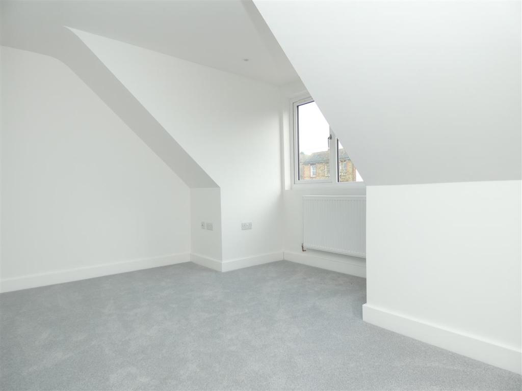
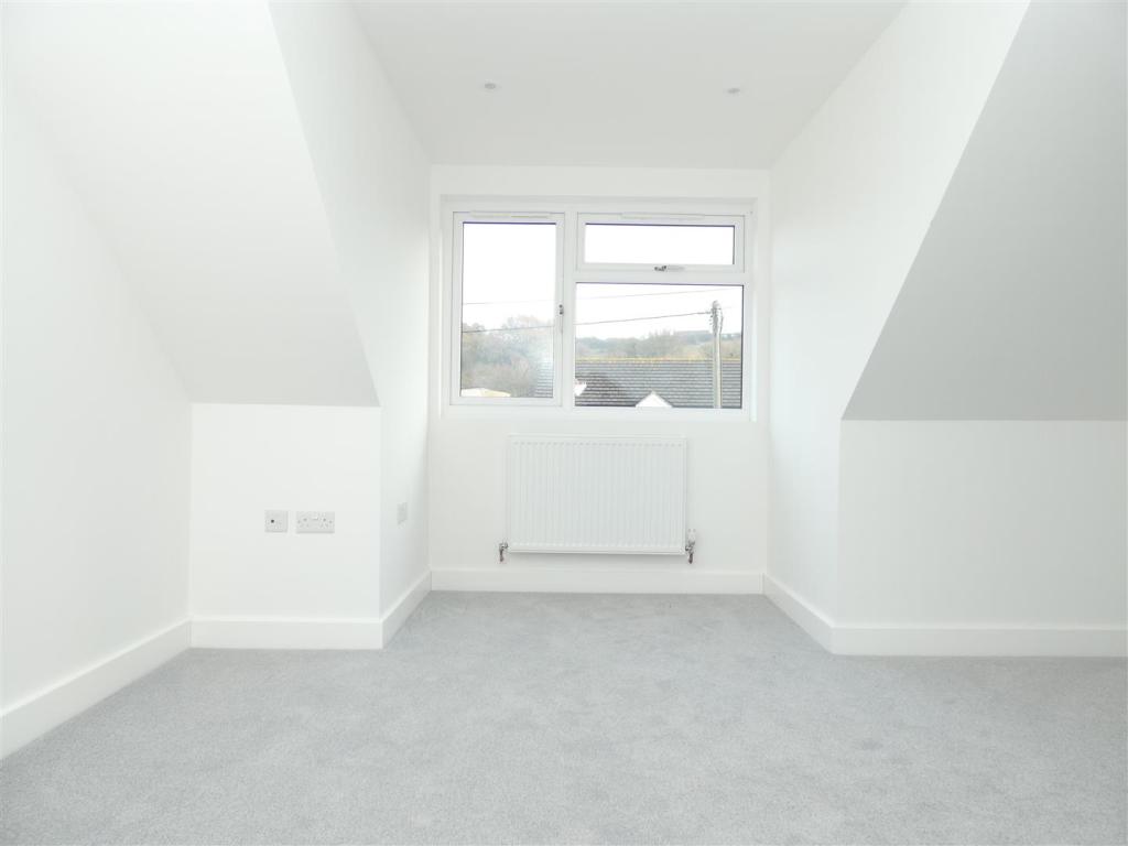
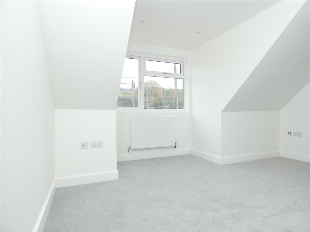
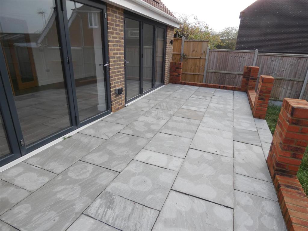
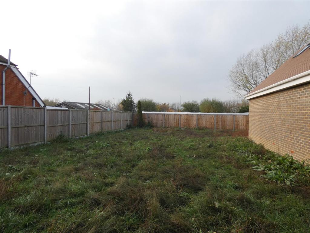
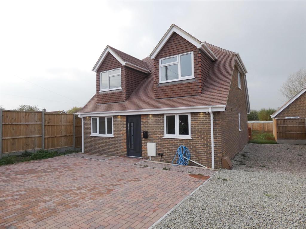
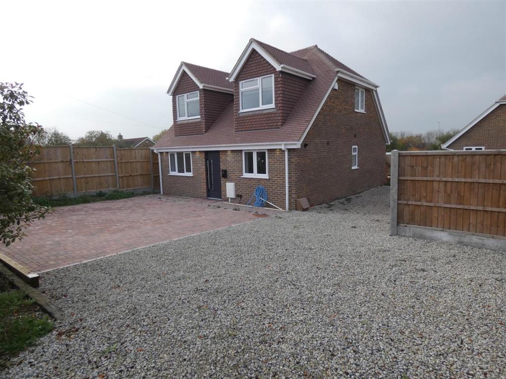
Photo 1 Photo 2 Photo 3 Photo 4 Photo 5 Photo 6 Photo 7 Photo 8 Photo 9 Photo 10 Photo 11 Photo 12 Photo 13 Photo 14 Photo 15 Photo 16 Photo 17 Photo 18 Photo 19 Photo 20 Photo 21 Photo 22 Photo 23 Photo 24 Photo 25 Photo 26 Photo 27 Photo 28 Photo 29
/ 29
Property details
Floor area
120 m²
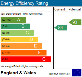
EPC rating
B
Deprivation
Decile 7 (20,707 of 33,755)
Street crime
35 incidents within 1 mile (Apr 2026)
Key features
- Brand New
- Master Ensuite bedroom
- Parking for up to 4 cars
- Modern Kitchen with Integrated Appliances
Additional details
- Parking
- Yes
- Garden
- Yes
Description
Lounge / Diner - 7.31 x 3.67 (23'11" x 12'0") -
Bedroom 1 - 4.33 x 3.10 (14'2" x 10'2") -
Bedroom 2 - 4.0 x 3.19 (13'1" x 10'5") -
Bedroom 3 - 4.0 x 3.80 (13'1" x 12'5") -
Bedroom 4 - 3.43 x 2.79 (11'3" x 9'1") -
Listed by
Herne Bay
The Lomond Group
Reference: 77347373
EPC Rating & Upgrade Cost
Current rating: B
Potential rating: A
Inspection date: 13/03/2018
Expiry date: 12/03/2028
Current heating cost: £257/year
Potential heating cost: £257/year
Est. upgrade cost to C: £11,500
Recommendations
- Solar water heating (£4,000 - £6,000)
- Solar photovoltaic panels, 2.5 kWp (£5,000 - £8,000)
Flood risk
Zone: 1
Risk: Low
Job (default Low)
EPC Graphs
EE Rating
Rental Range
Estimated market rent for Canterbury. Low = conservative, Realistic = average, Optimistic = best case.
Based on Local Authority from postcode lookup → Canterbury.
LHA (30th percentile) floor for Colchester: £1,247/mo (Apr 2025 – Mar 2026)
Location
Address
Pilgrims Lane
Nearby
Nearest stations, universities and amenities (distance from property).
| Type | Name | Distance |
|---|---|---|
| Hospital | Estuary View Medical Centre | 0.4 miles |
| Bus stop | Estuary View Medical Centre | 0.5 miles |
| Bus stop | Seasalter Cross | 0.5 miles |
| Shop | Seasalter Stores | 0.8 miles |
| Shop | Carter's Nursery | 1.1 miles |
| Train station | Whitstable | 1.9 miles |
| Train station | Chestfield & Swalecliffe | 3.1 miles |
| University | Nexus (Templeman) | 3.8 miles |
| University | Skills for Academic Success | 3.9 miles |
| Hospital | Sittingbourne Memorial Hospital | 11.7 miles |
Street-level crime
| Category | Count |
|---|---|
| Violence and sexual offences | 14 |
| Burglary | 6 |
| Shoplifting | 6 |
| Anti-social behaviour | 4 |
| Other theft | 2 |
| Public order | 2 |
| Drugs | 1 |
| Total incidents | 35 |
Within 1 mile during Apr 2026. Source: data.police.uk (England & Wales).
Schools nearby
Nearest open schools with Ofsted ratings (England). Closed schools are not shown. Data from Get Information about Schools and Ofsted.
| Name | Type | Distance | Ofsted |
|---|---|---|---|
| Joy Lane Primary Foundation School | Primary | 1.0 miles | Good — 3 Mar 2014 |
| Whitstable Junior School | Primary | 1.5 miles | Good — 18 May 2015 |
| St Alphege Church of England Infant School | Primary | 1.5 miles | Good — 3 Jul 2024 |
| The Whitstable School | Secondary | 1.7 miles | Good — 24 Apr 2024 |
| Whitstable and Seasalter Endowed Church of England Junior School | Primary | 1.7 miles | Outstanding — 24 Feb 2017 |
Rental Comparables
Residential lets from OpenRent and Rightmove for the area (same bedroom count). Use to validate rent estimates. Student lets are excluded.
| Title | Rent | Beds | Distance | As seen on |
|---|---|---|---|---|
| 4 Bed Detached House, Dargate Road, CT5 | £1,800/mo | 4 | 0.6 miles | OpenRent |
Average rent: £1,800/mo (1 listing)