31 KNUTSFORD ROAD
ALDERLEY EDGE, CHORLEY, CHESHIRE EAST SK9 7SD
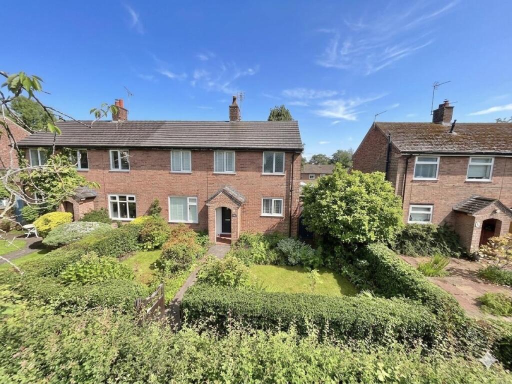
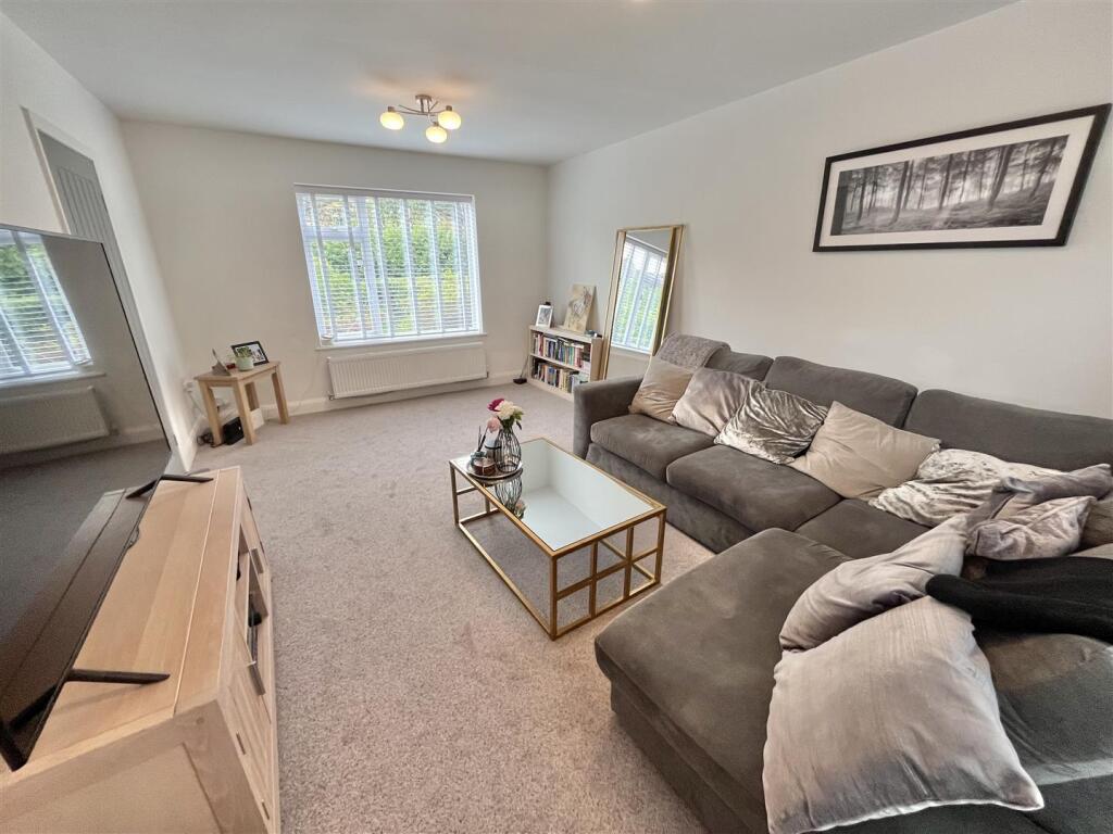
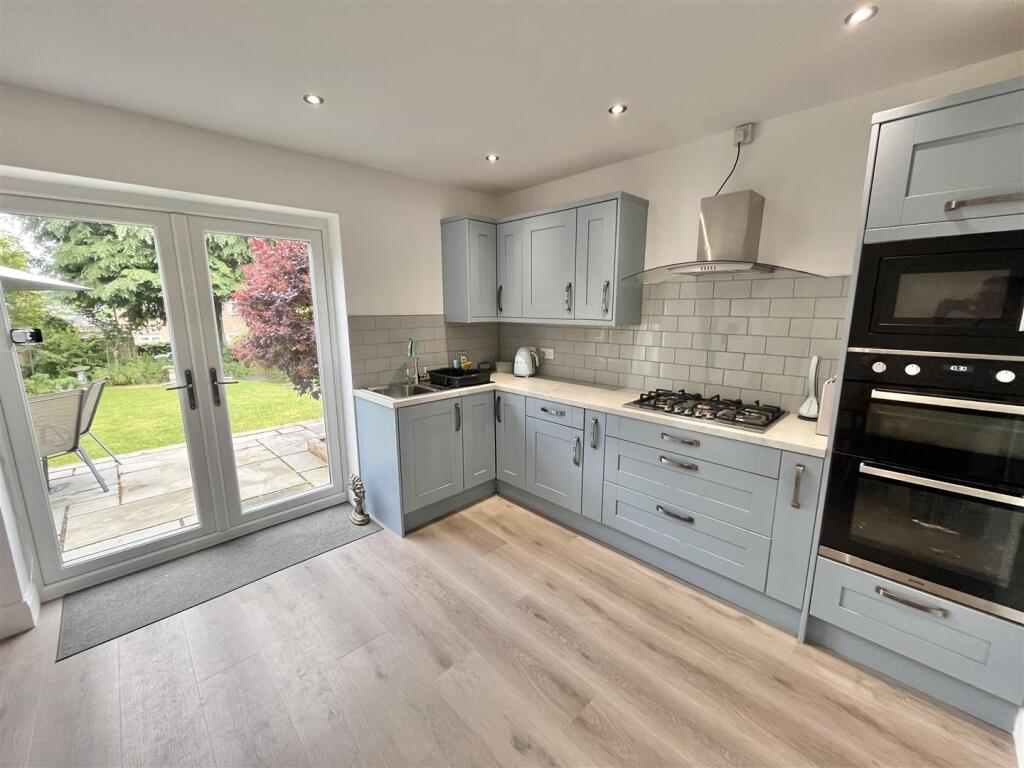
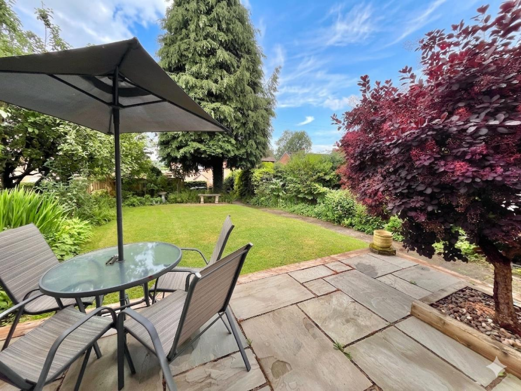
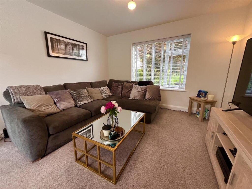
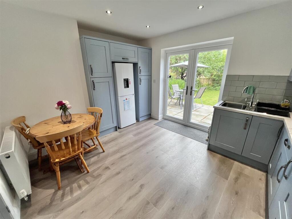
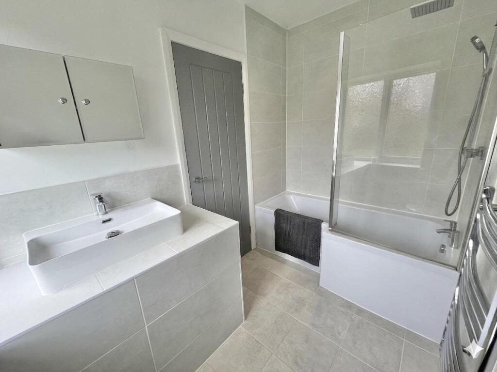
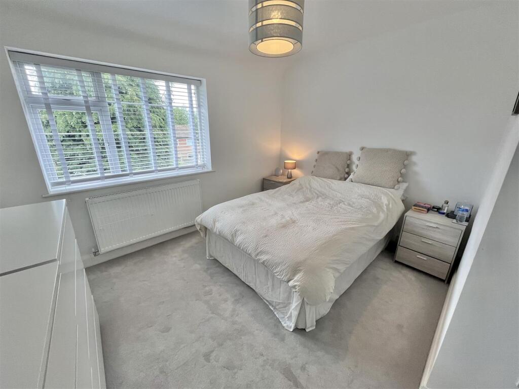
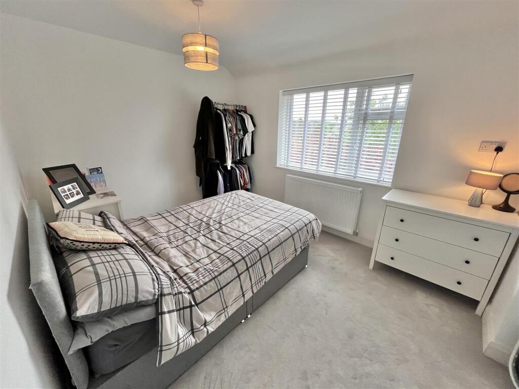
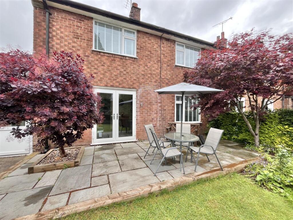
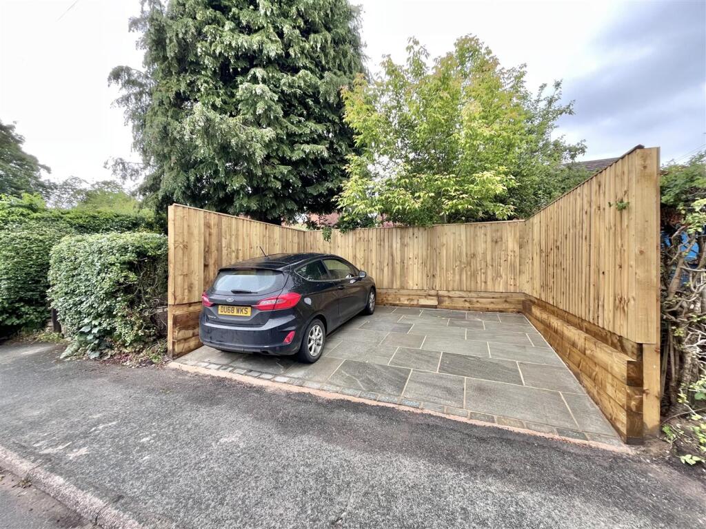
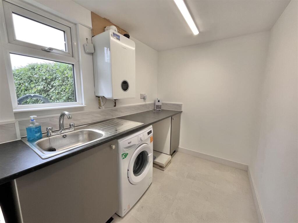
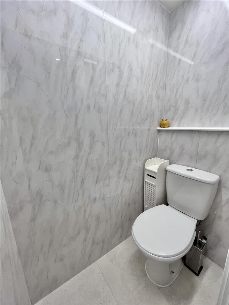
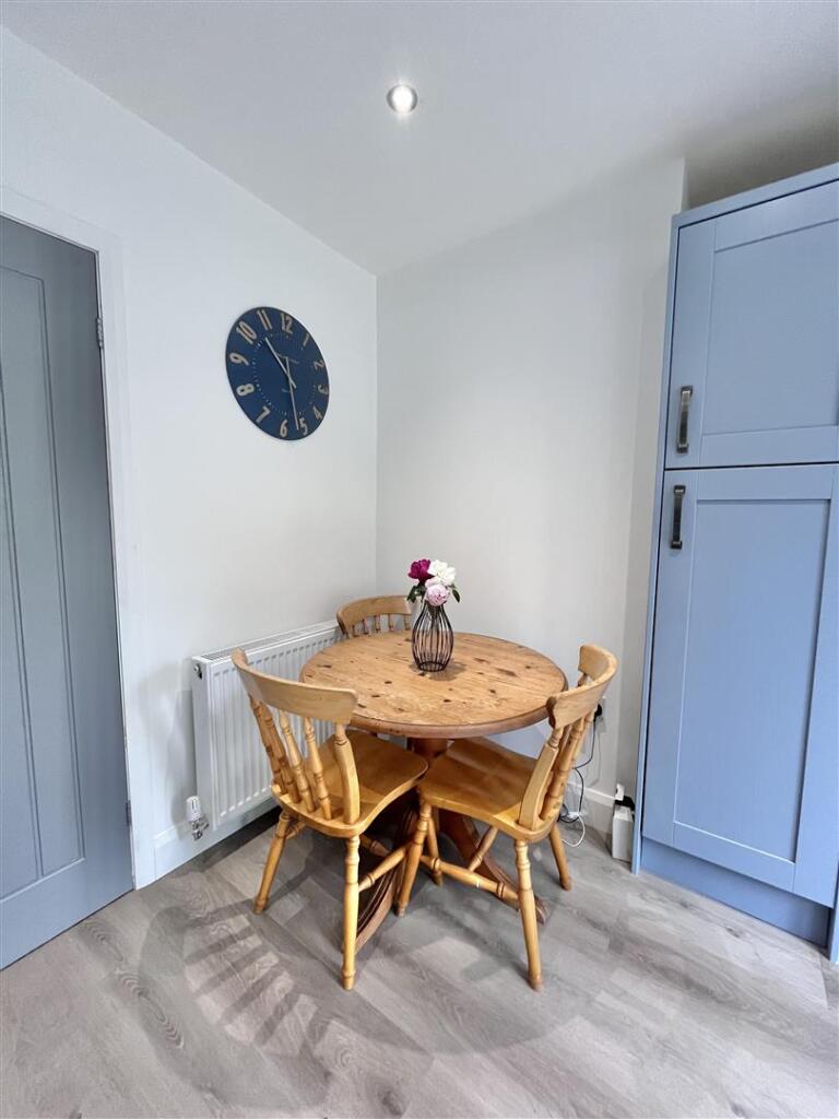
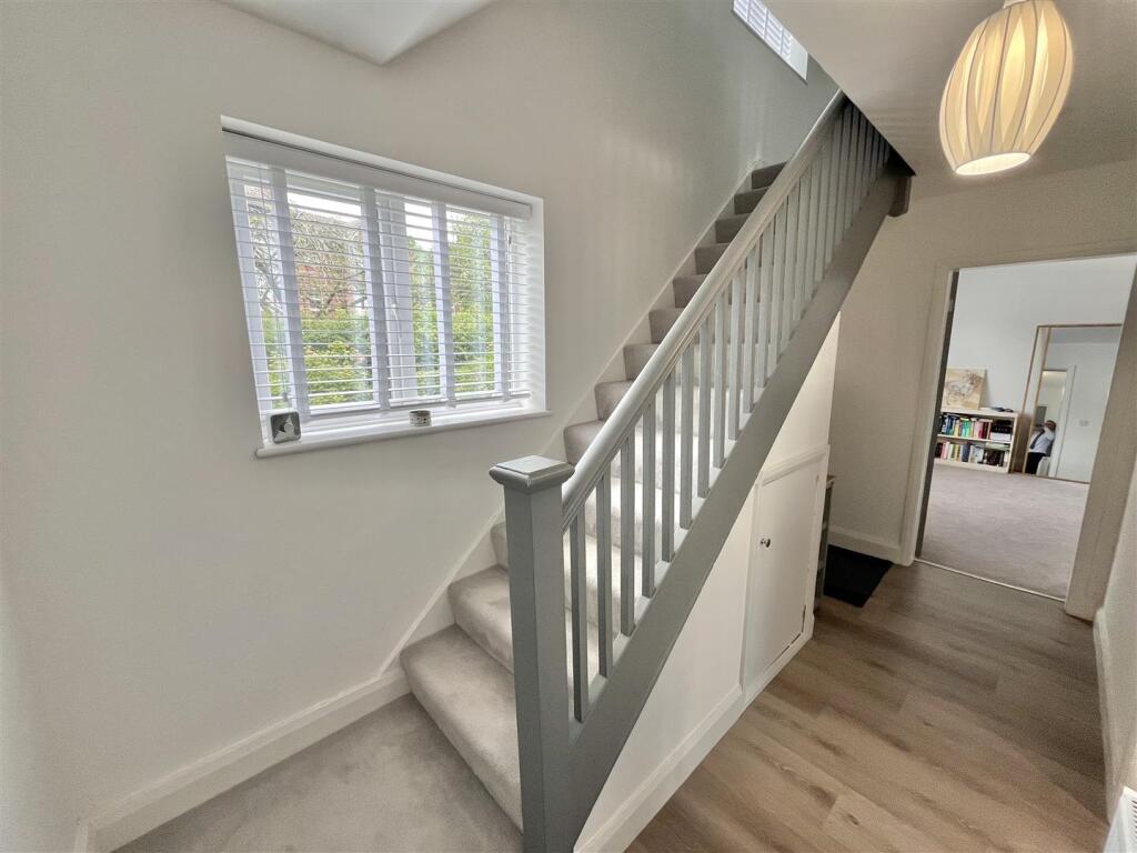
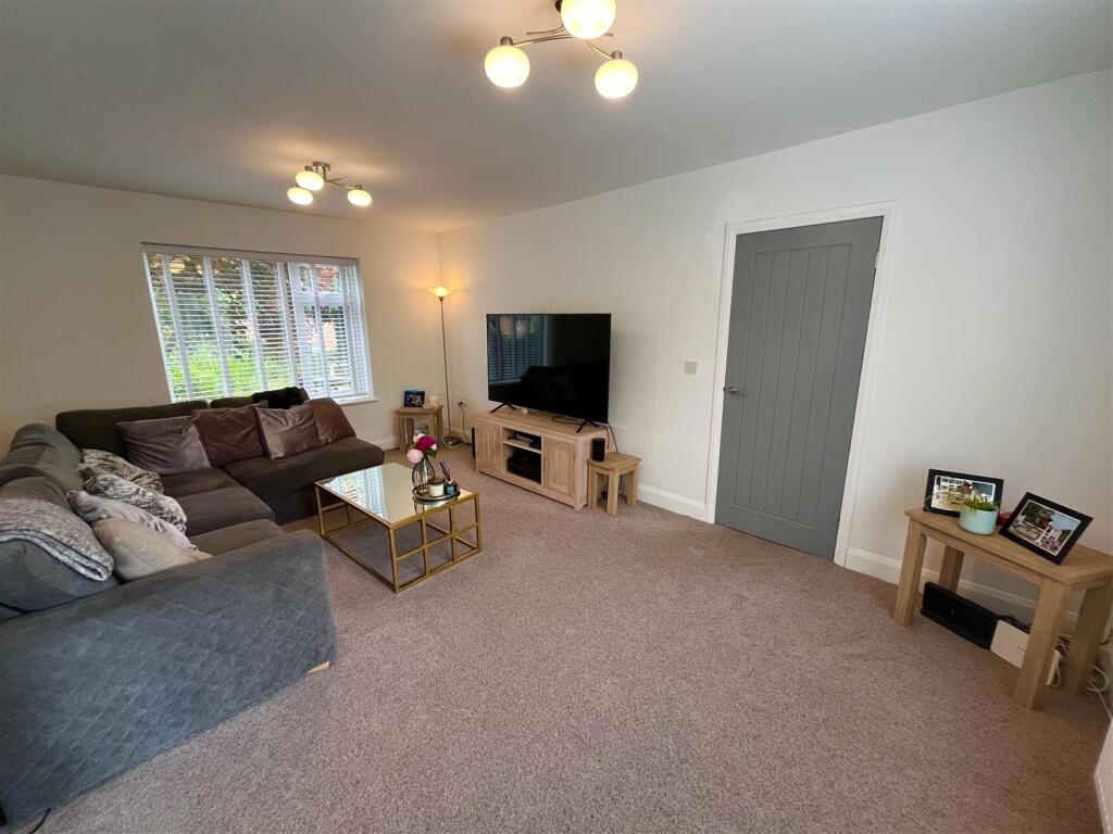
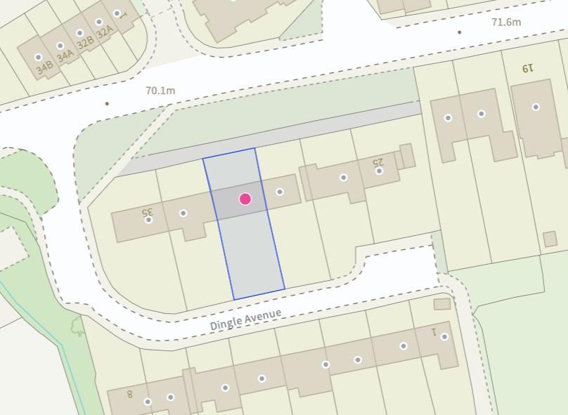
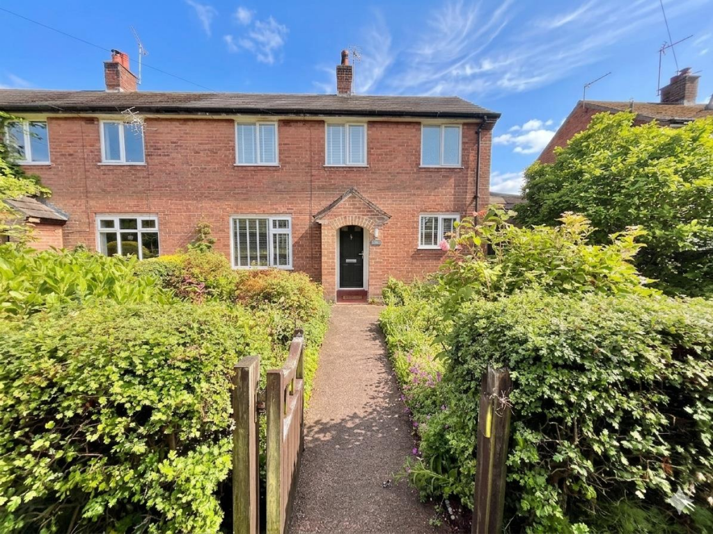
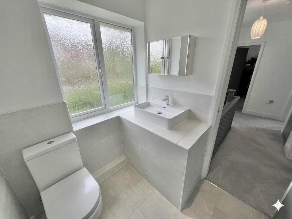
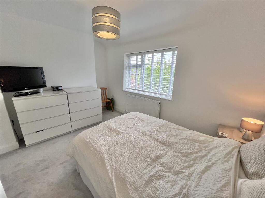
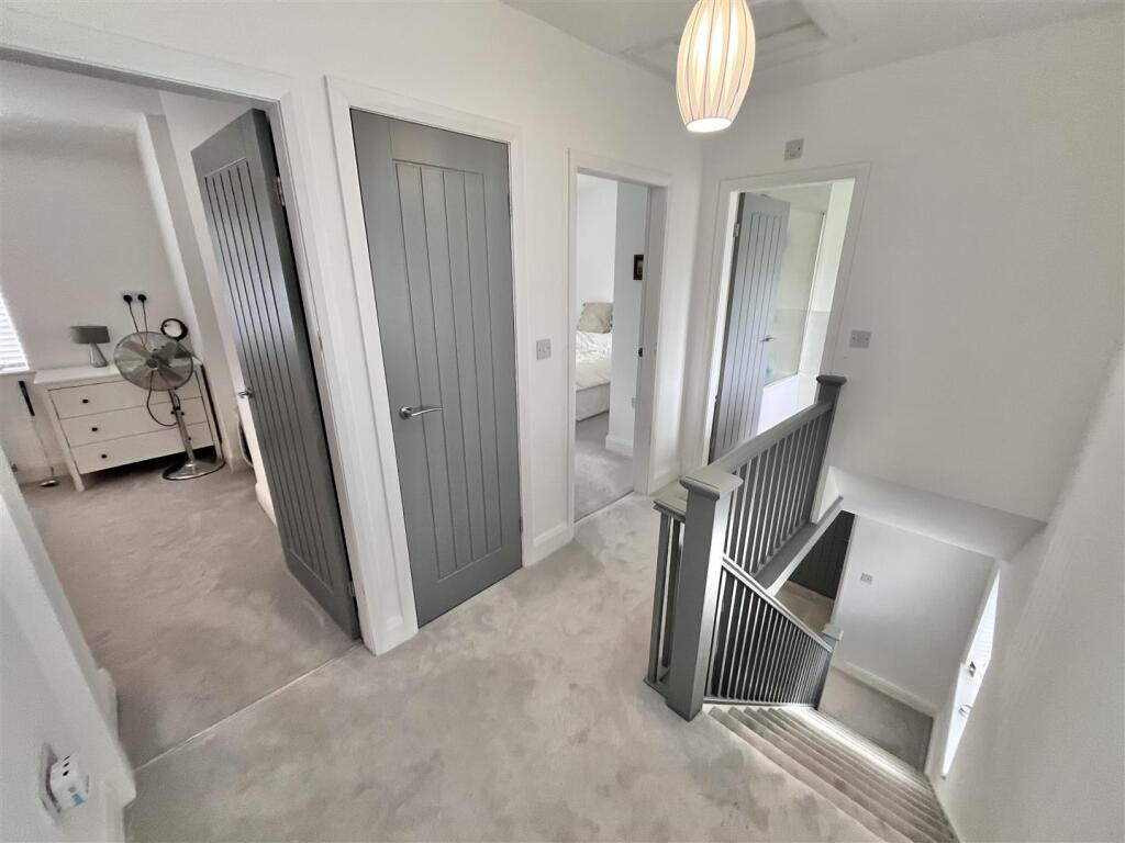
Photo 1 Photo 2 Photo 3 Photo 4 Photo 5 Photo 6 Photo 7 Photo 8 Photo 9 Photo 10 Photo 11 Photo 12 Photo 13 Photo 14 Photo 15 Photo 16 Photo 17 Photo 18 Photo 19 Photo 20 Photo 21
/ 21
Property details
Tenure
FREEHOLD
Floor area
100 m²
Council tax band
D
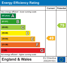
EPC rating
C
Year built
England and Wales: 1930-1949
Last sold
£340,000 Aug 2023
Price per m²
£4,800/m²
Local average
£478,220 (+0.4%)
Deprivation
Decile 10 (32,229 of 33,755)
Street crime
18 incidents within 1 mile (Apr 2026)
Key features
- Modernised and stylish thoroughout
- Highly sought after location
- Stunning rear garden
- Off road parking to the rear
- Utility room and Downstairs W.C
- Kitchen diner
- Spacious accommodation
Additional details
- Electricity
- Mains supply
- Water
- Mains supply
- Sewerage
- Mains supply
- Heating
- Gas central
- Parking
- Yes
- Garden
- Yes
Description
Agents Notes - Hmrc Directive - To be able to sell or purchase a property in the United Kingdom all agents have a legal requirement to conduct Identity checks on all customers involved in the transaction to fulfil their obligations under Anti Money Laundering regulations. We outsource this check to a third party and a charge will apply. Ask the branch for further details.
Listed by
Wilmslow
Jordan Fishwick
Reference: 89483796
EPC Rating & Upgrade Cost
Current rating: C
Potential rating: B
Inspection date: 11/06/2026
Expiry date: 10/06/2036
Current heating cost: £1,078/year
Potential heating cost: £909/year
Est. upgrade cost to C: £17,700
Recommendations
- Cavity wall insulation (£900 - £1,500)
- Floor insulation (solid floor) (£5,000 - £10,000)
- Solar photovoltaic panels, 2.5 kWp (£8,000 - £10,000)
Flood risk
Zone: 1
Risk: Low
Job (default Low)
Floorplans
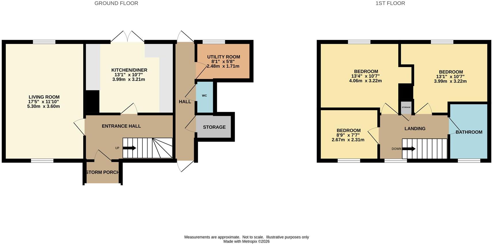
Floorplan 1
EPC Graphs
EE Rating
FENSA Certificates
This property has 3 FENSA certificate(s) on record, indicating window/door installations by FENSA-approved installers.
FENSA Certificate #4469584
Property Details
Street: 31 Knutsford Road
Town: Alderley Edge
Postcode: SK9 7SD
Installation Details
Items: 5 windows
Certificate Issued: 19/02/2007
Work Completed: 08/01/2007
This certificate data was retrieved from FENSA's database
FENSA Certificate #2186001
Property Details
Street: 31 Knutsford Road
Town: Alderley Edge
Postcode: SK9 7SD
Installation Details
Items: 5 windows
Certificate Issued: 02/11/2004
Work Completed: 28/09/2004
This certificate data was retrieved from FENSA's database
FENSA Certificate #1297892
Property Details
Street: 31 Knutsford Road
Town: Alderley Edge
Postcode: SK9 7SD
Installation Details
Items: 1 window
Certificate Issued: 15/12/2003
Work Completed: 19/11/2003
This certificate data was retrieved from FENSA's database
What is FENSA? FENSA (Fenestration Self-Assessment Scheme) is a government-authorised scheme that monitors building regulation compliance for replacement windows and doors. Certificates indicate that work was completed by FENSA-approved installers.
Price history
| Event | Date | Price | % change |
|---|---|---|---|
| Listed for sale | — | £479,950 | +41.2% |
| Sold | 01/08/2023 (2 years ago) | £340,000 | — |
Source: HM Land Registry Price Paid Data. Crown copyright.
Sold Comparables
Same street and nearby sales within 0.25 miles (last 5 years). Data from Land Registry Price Paid.
| Address | Price | Date | Type |
|---|---|---|---|
| Same street 11 KNUTSFORD ROAD, CHORLEY, ALDERLEY EDGE, CHESHIRE EAST, SK9 7SD | £605,000 | 08/11/2024 | Detached |
| Same street 30 KNUTSFORD ROAD, CHORLEY, ALDERLEY EDGE, CHESHIRE EAST, SK9 7SD | £720,000 | 21/04/2023 | Semi-detached |
| 74A KNUTSFORD ROAD, CHORLEY, ALDERLEY EDGE, CHESHIRE EAST, SK9 7SF | £1,000,000 | 28/11/2022 | Semi-detached |
| Same street 20 KNUTSFORD ROAD, CHORLEY, ALDERLEY EDGE, CHESHIRE EAST, SK9 7SD | £5,800 | 27/11/2022 | Other |
| Same street 5B KNUTSFORD ROAD, CHORLEY, ALDERLEY EDGE, CHESHIRE EAST, SK9 7SD | £510,000 | 03/11/2022 | Detached |
| Same street 22 KNUTSFORD ROAD, CHORLEY, ALDERLEY EDGE, CHESHIRE EAST, SK9 7SD | £5,371 | 14/10/2022 | Other |
| 36 KNUTSFORD ROAD, CHORLEY, ALDERLEY EDGE, CHESHIRE EAST, SK9 7SF | £445,000 | 06/10/2022 | Semi-detached |
| Same street 18 KNUTSFORD ROAD, CHORLEY, ALDERLEY EDGE, CHESHIRE EAST, SK9 7SD | £4,466 | 27/09/2022 | Other |
| Same street 12 KNUTSFORD ROAD, CHORLEY, ALDERLEY EDGE, CHESHIRE EAST, SK9 7SD | £345,000 | 15/09/2022 | Terraced |
| Same street 18 KNUTSFORD ROAD, CHORLEY, ALDERLEY EDGE, CHESHIRE EAST, SK9 7SD | £640,000 | 17/05/2022 | Semi-detached |
| Same street 14 KNUTSFORD ROAD, CHORLEY, ALDERLEY EDGE, CHESHIRE EAST, SK9 7SD | £425,000 | 08/04/2022 | Terraced |
| 87A KNUTSFORD ROAD, CHORLEY, ALDERLEY EDGE, CHESHIRE EAST, SK9 7SH | £670,000 | 17/03/2022 | Semi-detached |
| Same street 4A KNUTSFORD ROAD, CHORLEY, ALDERLEY EDGE, CHESHIRE EAST, SK9 7SD | £365,000 | 29/10/2021 | Terraced |
| 161 KNUTSFORD ROAD, CHORLEY, ALDERLEY EDGE, CHESHIRE EAST, SK9 7RX | £375,000 | 28/06/2021 | Semi-detached |
Street average: £362,564 (10 sales)
Area average: £622,500 (4 sales)
Capital growth trend
Land Registry outcode average: last 12 months vs 5y and 10y ago (from sold prices).
House Price Index (HM Land Registry — official index, not sold-price averages): Cheshire East. Series: Semi-detached. As of March 2026.
Rental Range
Estimated market rent for Cheshire East. Low = conservative, Realistic = average, Optimistic = best case.
Based on Local Authority from postcode lookup → Cheshire East.
LHA (30th percentile) floor for West Pennine: £504/mo (Apr 2025 – Mar 2026)
Location
Nearby
Nearest stations, universities and amenities (distance from property).
| Type | Name | Distance |
|---|---|---|
| Bus stop | Chorley, Knutsford Road / Upcast Lane | 0.0 miles |
| Shop | The Village Store | 0.4 miles |
| Shop | 135 Hairdressing | 0.4 miles |
| Train station | Alderley Edge | 1.0 miles |
| Train station | Wilmslow | 1.8 miles |
| Hospital | Rosemount Resource Centre | 5.8 miles |
| Hospital | Altrincham Hospital | 6.5 miles |
| University | University of Manchester Fallowfield Campus | 9.5 miles |
| University | Fallowfield Reception and Richmond Amenities Building | 9.5 miles |
Street-level crime
| Category | Count |
|---|---|
| Violence and sexual offences | 11 |
| Anti-social behaviour | 2 |
| Public order | 2 |
| Burglary | 1 |
| Criminal damage and arson | 1 |
| Theft from the person | 1 |
| Total incidents | 18 |
Within 1 mile during Apr 2026. Source: data.police.uk (England & Wales).
Schools nearby
Nearest open schools with Ofsted ratings (England). Closed schools are not shown. Data from Get Information about Schools and Ofsted.
| Name | Type | Distance | Ofsted |
|---|---|---|---|
| Lindow Community Primary School | Primary | 0.2 miles | Good — 11 Mar 2014 |
| Ashdene Primary School | Primary | 0.7 miles | Outstanding — 23 Apr 2019 |
| The Ryleys School | Other | 0.8 miles | — (No rating) |
| Alderley Edge Community Primary School | Primary | 0.9 miles | — (Inspected (no overall grade)) |
| Alderley Edge School for Girls | Other | 0.9 miles | — (No rating) |
Rental Comparables
Loading rental comparables for this postcode. Refresh in a few minutes.
Rent-driven metrics
Based on Area rent estimate.
- Rent ratio — Monthly rent ÷ purchase price (1% rule). 1%+ = strong, 0.8–1% = okay, <0.8% = weak for cashflow.
- Max investor price — Rent ÷ 0.8%; the price at which rent would be 0.8% of price (Stoke-style target).
- Target investor price — Rent ÷ 1%; the price at which rent would be 1% of price (strong cashflow band).
- Gross yield — Annual rent as % of purchase price (no costs).