9 ELECTRIC AVENUE
HARROGATE, NORTH YORKSHIRE HG1 2BB
£795 pcm
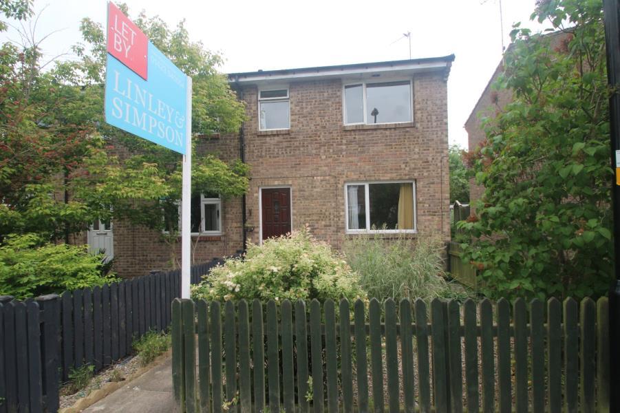
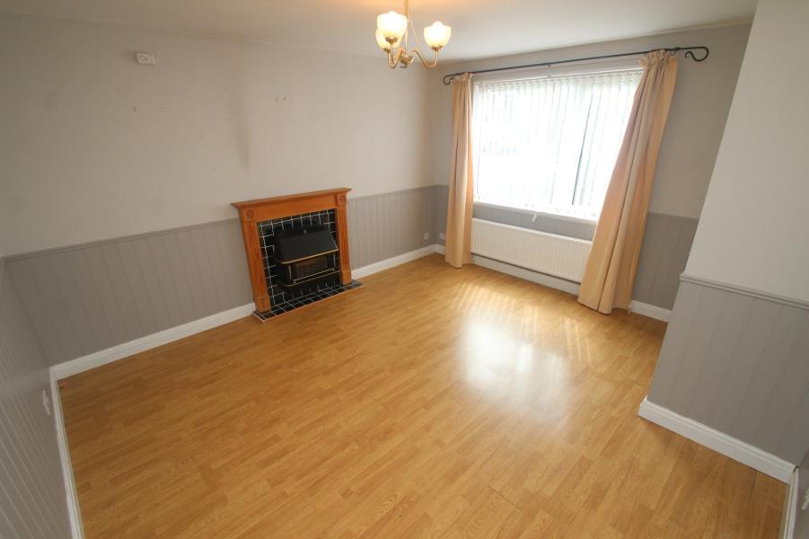
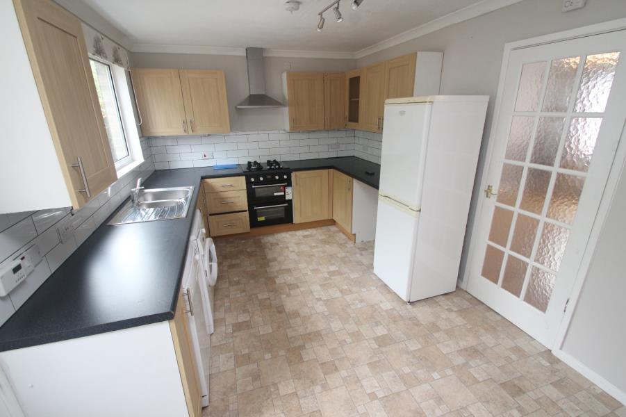
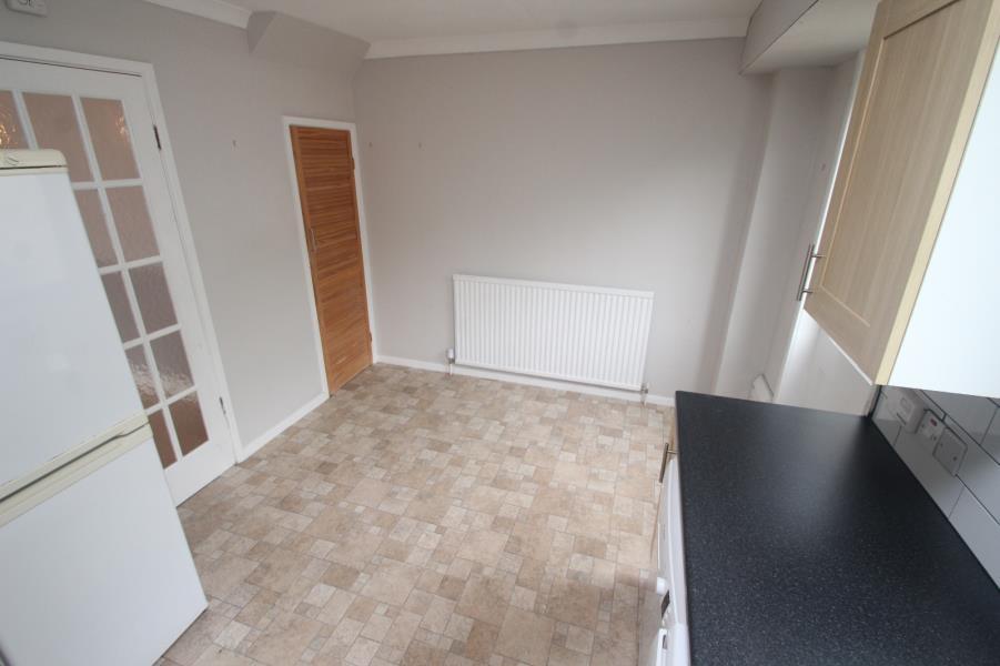
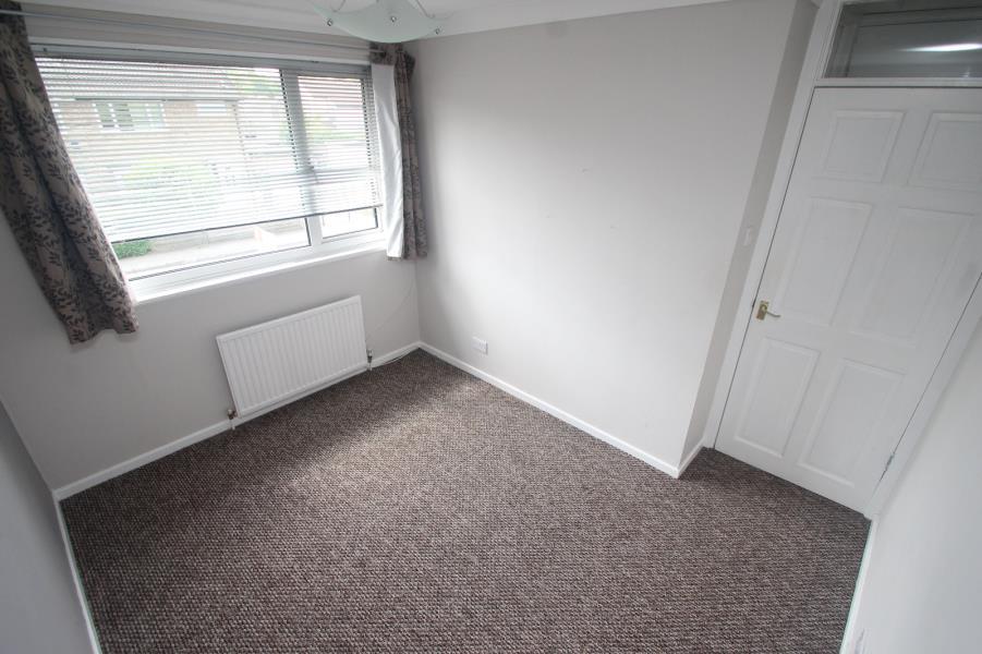
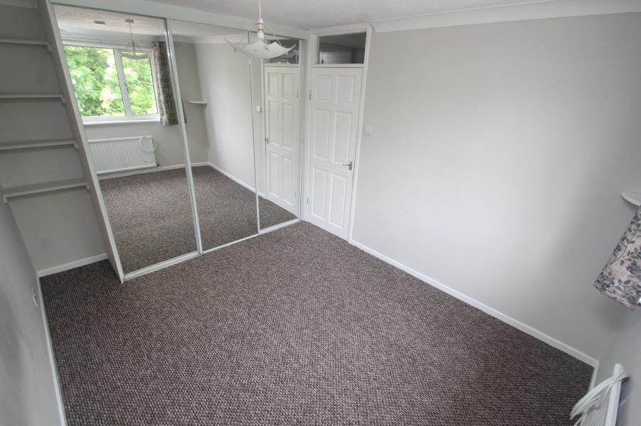
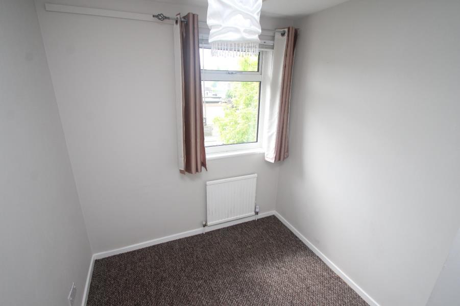
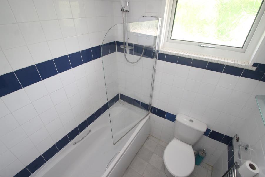
Photo 1 Photo 2 Photo 3 Photo 4 Photo 5 Photo 6 Photo 7 Photo 8
/ 8
Property details
Floor area
143 m²
Year built
M
Deprivation
Decile 8 (25,090 of 33,755)
Street crime
171 incidents within 1 mile (Apr 2026)
Key features
- THREE BED SEMI DETACHED HOUSE
- GARAGE
- GREAT LOCATION
- PRIVATE COURTYARD
- CONVENIENT LOCATION
Additional details
- Parking
- Yes
- Garden
- Yes
Description
SORRY NO SMOKERS. PETS BY NEGOTIATION.
Deposit: £995 Energy Efficiency Rating: D
Listed by
Harrogate
The Lomond Group
Reference: 54286200
EPC Rating & Upgrade Cost
Fetching EPC data… Refresh this page in a moment.
Flood risk
Zone: 1
Risk: Low
Job (default Low)
EPC Graphs
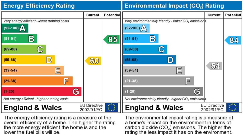
EPC Graph
FENSA Certificates
This property has 1 FENSA certificate(s) on record, indicating window/door installations by FENSA-approved installers.
FENSA Certificate #17130178 Recent
Property Details
Street: 9 Electric Avenue
Town: HARROGATE
Postcode: HG1 2BB
Installation Details
Items: 6 windows and 2 doors
Certificate Issued: 18/01/2026
Work Completed: 14/01/2026
This certificate data was retrieved from FENSA's database
What is FENSA? FENSA (Fenestration Self-Assessment Scheme) is a government-authorised scheme that monitors building regulation compliance for replacement windows and doors. Certificates indicate that work was completed by FENSA-approved installers.
Rental Range
Estimated market rent for Yorkshire and The Humber. Low = conservative, Realistic = average, Optimistic = best case.
Based on Region from postcode lookup → Yorkshire and The Humber.
LHA (30th percentile) floor for Harrogate: £873/mo (Apr 2025 – Mar 2026)
Location
Nearby
Nearest stations, universities and amenities (distance from property).
| Type | Name | Distance |
|---|---|---|
| Shop | Tesco | 0.1 miles |
| Shop | Pets at Home | 0.1 miles |
| Bus stop | Unknown | 0.2 miles |
| Hospital | Cygnet Hospital Harrogate | 0.5 miles |
| Train station | Harrogate | 1.1 miles |
| Hospital | Duchy Hospital | 1.3 miles |
| Train station | Hornbeam Park | 2.1 miles |
| University | Leeds Trinity University | 11.5 miles |
Street-level crime
| Category | Count |
|---|---|
| Violence and sexual offences | 62 |
| Shoplifting | 29 |
| Anti-social behaviour | 24 |
| Other theft | 15 |
| Criminal damage and arson | 9 |
| Public order | 7 |
| Vehicle crime | 7 |
| Burglary | 6 |
| Drugs | 3 |
| Other crime | 3 |
| Theft from the person | 3 |
| Possession of weapons | 2 |
| Robbery | 1 |
| Total incidents | 171 |
Within 1 mile during Apr 2026. Source: data.police.uk (England & Wales).
Schools nearby
Nearest open schools with Ofsted ratings (England). Closed schools are not shown. Data from Get Information about Schools and Ofsted.
| Name | Type | Distance | Ofsted |
|---|---|---|---|
| New Park Primary Academy | Primary | 0.2 miles | Good — 9 Oct 2018 |
| Saltergate Community Junior School | Primary | 0.3 miles | Good — 21 Sep 2022 |
| Saltergate Infant School | Primary | 0.3 miles | Good — 19 Feb 2015 |
| St Joseph's Catholic Primary School, Harrogate, A Voluntary Academy | Primary | 0.4 miles | Good — 11 May 2020 |
| Coppice Valley Primary School | Primary | 0.4 miles | Good — 29 Apr 2015 |
Rental Comparables
Residential lets from OpenRent and Rightmove for the area (same bedroom count). Use to validate rent estimates. Student lets are excluded.
| Title | Rent | Beds | Distance | As seen on |
|---|---|---|---|---|
| 3 Bed Semi-Detached House, St Johns Drive, HG1 | £1,395/mo | 3 | 0.56 miles | OpenRent |
Average rent: £1,395/mo (1 listing)