YARWOOD HOUSE FARM
WOOD LANE, KNUTSFORD, MOBBERLEY, CHESHIRE EAST WA16 7NJ
£1,500,000
Front photo WhatsApp Image 2026-04-26 at 18.24.40 (1).jpeg WhatsApp Image 2026-04-26 at 18.24.39 (3).jpeg WhatsApp Image 2026-04-26 at 18.24.39 (2).jpeg WhatsApp Image 2026-04-26 at 18.24.39 (1).jpeg WhatsApp Image 2026-04-26 at 18.24.40.jpeg WhatsApp Image 2026-04-26 at 18.24.39.jpeg WhatsApp Image 2026-04-26 at 18.24.39 (4).jpeg WhatsApp Image 2026-04-26 at 18.24.38.jpeg WhatsApp Image 2026-04-26 at 18.24.38 (1).jpeg WhatsApp Image 2026-04-26 at 18.24.38 (2).jpeg WhatsApp Image 2026-04-26 at 18.24.38 (3).jpeg WhatsApp Image 2026-04-26 at 18.24.38 (4).jpeg WhatsApp Image 2026-04-26 at 18.24.37.jpeg WhatsApp Image 2026-04-26 at 18.24.33.jpeg WhatsApp Image 2026-04-26 at 18.24.33 (1).jpeg
/ 16
Property details
Tenure
FREEHOLD
Floor area
321 m²
Council tax band
E
EPC rating
E
Year built
England and Wales: before 1900
Last sold
£830,000 Feb 2022
Price per m²
£4,673/m²
Local average
£844,904 (+77.5%)
Deprivation
Decile 7 (21,836 of 33,755)
Street crime
6 incidents within 1 mile (May 2026)
Key features
- Excellent proximity to transport links
Description
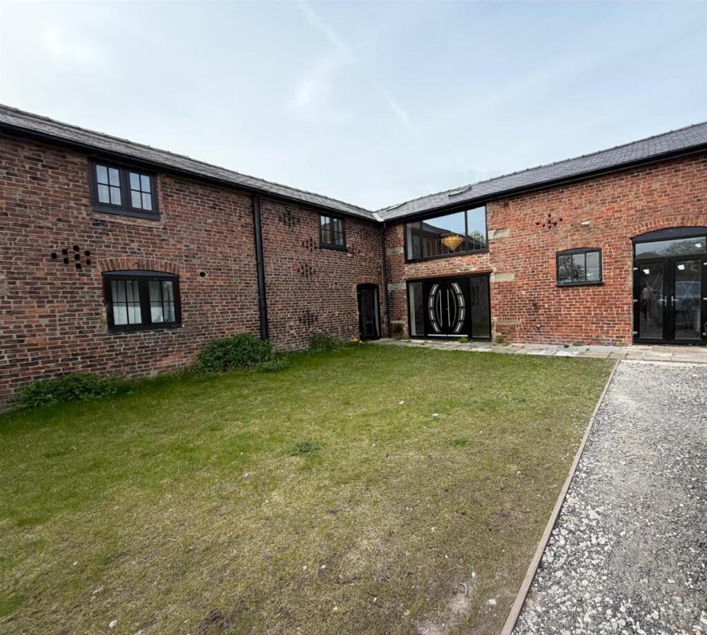
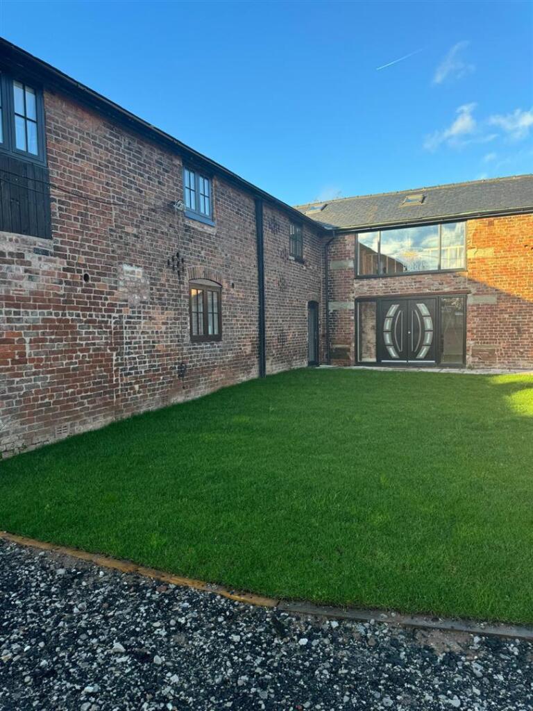
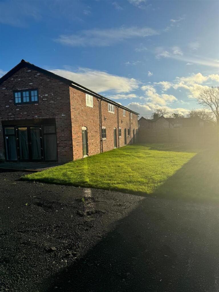
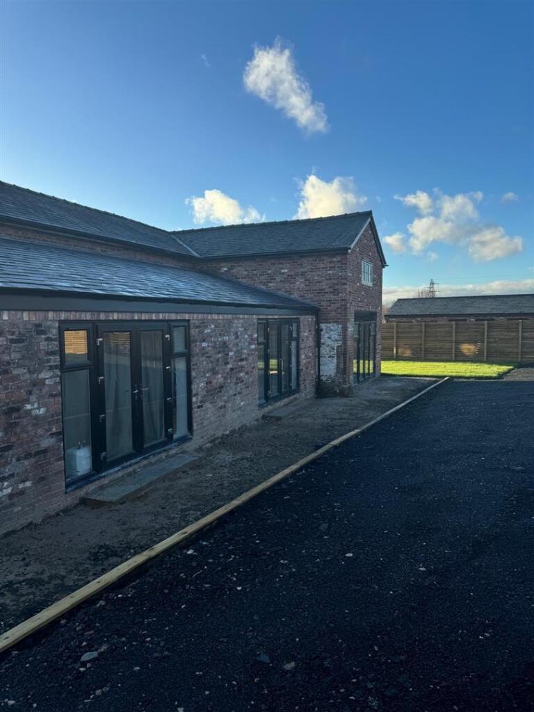
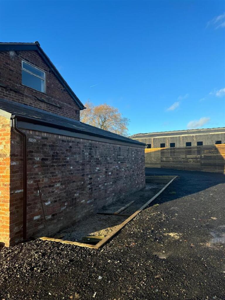
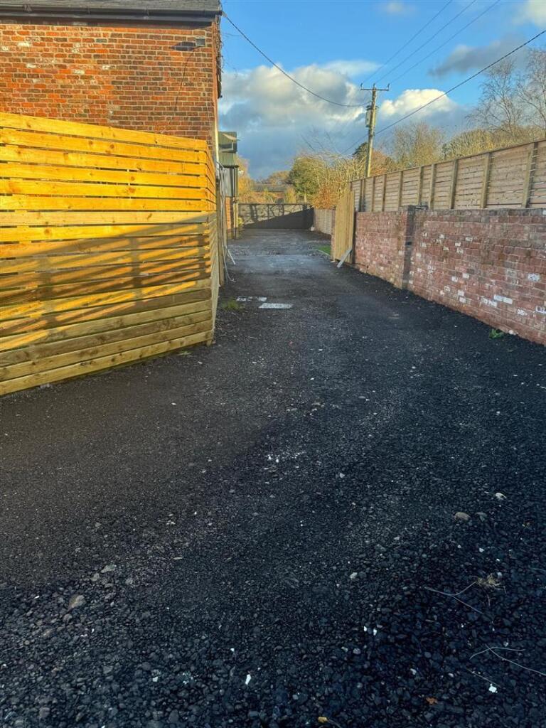
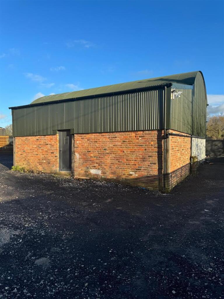
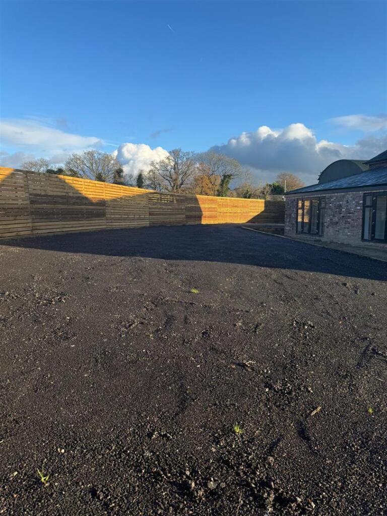
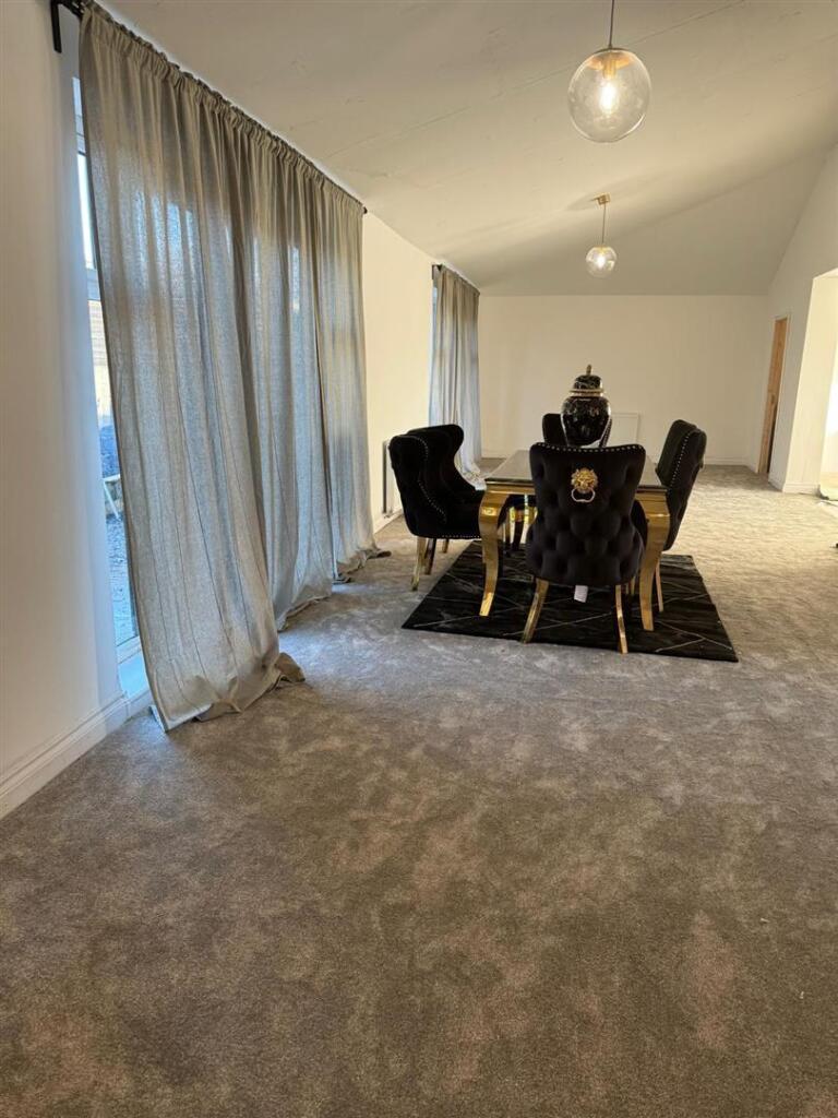
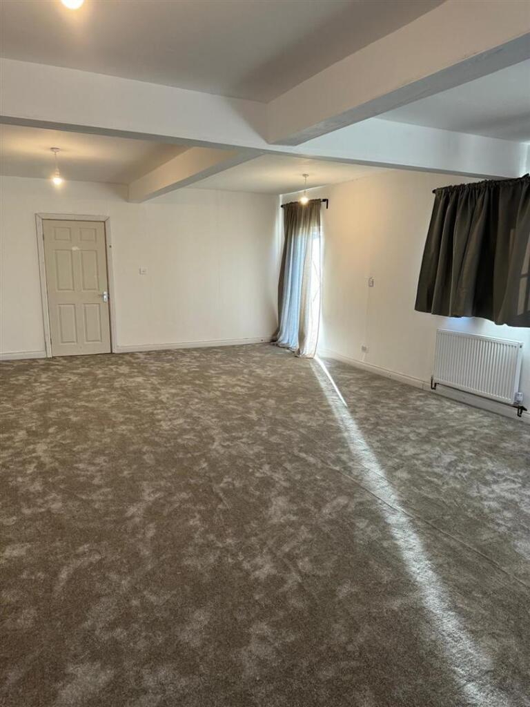
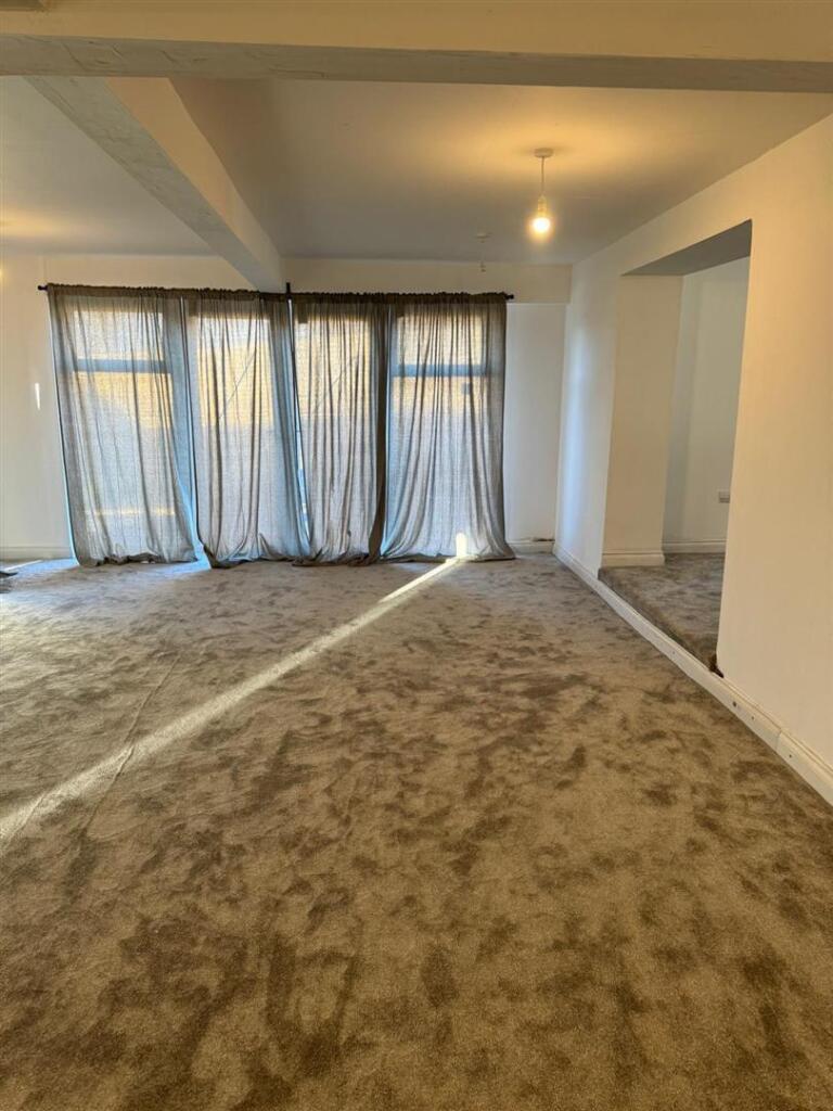
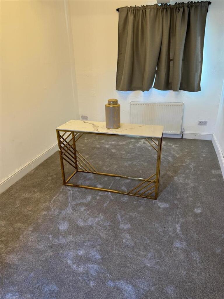
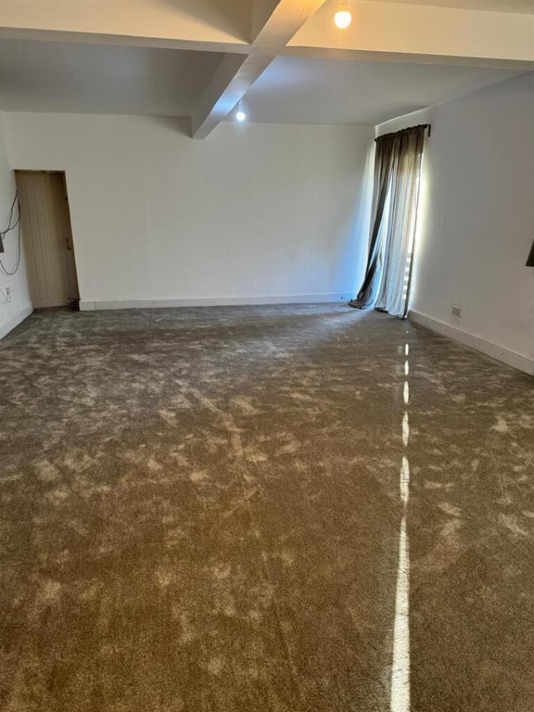
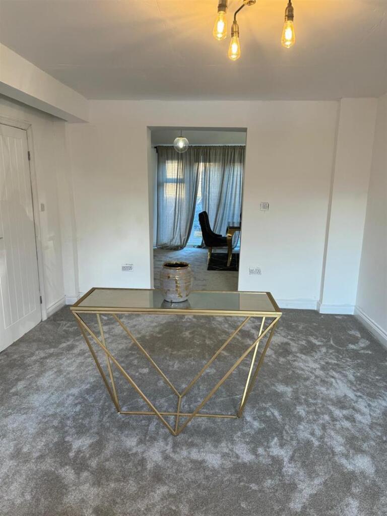
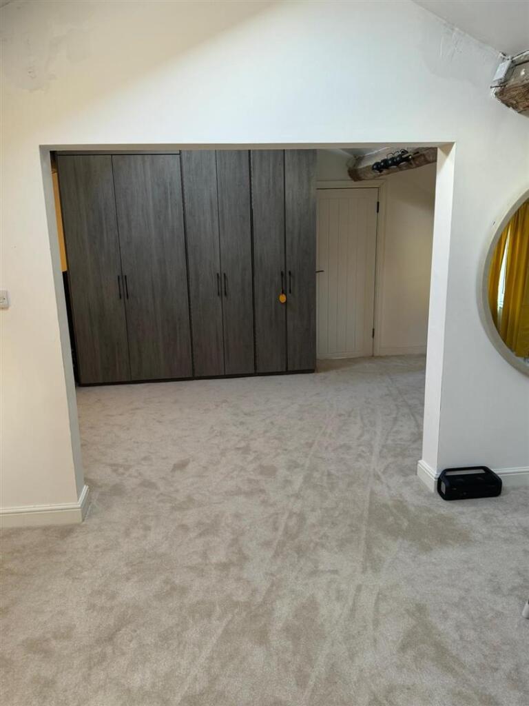
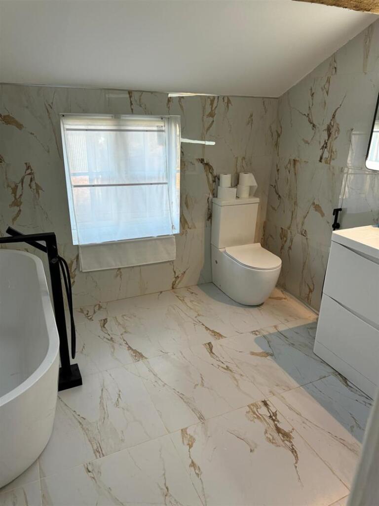
Yarwood Barn is a five bedroom detached family home
Mobberley is a popular and sought after parish that lies between Knutsford, Wilmslow and Hale. Yarwood Barn is situated on a no-through lane, and is close to flight traffic from Manchester Airport. Access from here to each of the aforementioned towns is just a few minutes by car. Mobberley Village caters for extensive day-to-day needs including an excellent village primary school, village store/post office, doctors and dentist surgery etc. There is some lovely surrounding countryside and many very well thought of pubs/restaurants.
Directions
Follow Knutsford out of town towards Mobberley village. Turn left immediately before reaching the village into Smith Lane and follow the road for about 1/2 mile taking the right hand fork over the humpback bridge into Slade Lane. Proceed to the end, turn left and after the S bend Wood Lane can be seen on the right hand side. Follow the road around to the right and Yarwood Barn is situated after a further 300 metres on the left hand side.
Listed by
Knutsford
Acobas Limited
Reference: 87821586
EPC Rating & Upgrade Cost
Current rating: E
Potential rating: B
Inspection date: 04/09/2020
Expiry date: 03/09/2030
Current heating cost: £2,303/year
Potential heating cost: £1,355/year
Est. upgrade cost to C: £48,395
Recommendations
- Room-in-roof insulation (£1,500 - £2,700)
- Internal or external wall insulation (£4,000 - £14,000)
- Floor insulation (solid floor) (£4,000 - £6,000)
- Low energy lighting for all fixed outlets (£195)
- Replace boiler with new condensing boiler (£2,200 - £3,000)
- Solar water heating (£4,000 - £6,000)
- Solar photovoltaic panels, 2.5 kWp (£3,500 - £5,500)
- Wind turbine (£15,000 - £25,000)
Flood risk
Zone: 1
Risk: Low
Job (default Low)
Price history
| Event | Date | Price | % change |
|---|---|---|---|
| Listed for sale | — | £1,500,000 | +80.7% |
| Sold | 08/02/2022 (4 years ago) | £830,000 | — |
Source: HM Land Registry Price Paid Data. Crown copyright.
Sold Comparables
Same street and nearby sales within 0.25 miles (last 5 years). Data from Land Registry Price Paid.
| Address | Price | Date | Type |
|---|---|---|---|
| Same street ALDERMERE WOOD LANE, MOBBERLEY, KNUTSFORD, CHESHIRE EAST, WA16 7NJ | £554,000 | 21/03/2025 | Semi-detached |
| Same street YARWOOD BARN WOOD LANE, MOBBERLEY, KNUTSFORD, CHESHIRE EAST, WA16 7NJ | £700,000 | 22/04/2022 | Other |
Street average: £627,000 (2 sales)
Capital growth trend
Land Registry outcode average: last 12 months vs 5y and 10y ago (from sold prices).
House Price Index (HM Land Registry — official index, not sold-price averages): Cheshire East. Series: Detached. As of April 2026.
Rental Range
Estimated market rent for Cheshire East. Low = conservative, Realistic = average, Optimistic = best case.
Based on Local Authority from postcode lookup → Cheshire East.
LHA (30th percentile) floor for East Lancs: £793/mo (Apr 2025 – Mar 2026)
Location
Address
Wood Lane
Nearby
Nearest stations, universities and amenities (distance from property).
| Type | Name | Distance |
|---|---|---|
| Bus stop | Mobberley, Small Lane / Wood Lane | 0.5 miles |
| Train station | Mobberley | 0.8 miles |
| Shop | Davies Dairy | 1.4 miles |
| Train station | Ashley | 1.8 miles |
| Shop | The Aviation Shop | 1.9 miles |
| Hospital | The Priory Hospital Altrincham | 2.2 miles |
| Hospital | The Wilmslow Hospital | 3.4 miles |
| University | University Academy 92 | 8.7 miles |
| University | Fallowfield Reception and Richmond Amenities Building | 8.7 miles |
Street-level crime
| Category | Count |
|---|---|
| Violence and sexual offences | 3 |
| Other theft | 2 |
| Public order | 1 |
| Total incidents | 6 |
Within 1 mile during May 2026. Source: data.police.uk (England & Wales).
Schools nearby
Nearest open schools with Ofsted ratings (England). Closed schools are not shown. Data from Get Information about Schools and Ofsted.
| Name | Type | Distance | Ofsted |
|---|---|---|---|
| Mobberley CofE Primary School | Primary | 1.1 miles | — (Inspected (no overall grade)) |
| Elmridge Primary School | Primary | 2.3 miles | Good — 18 Jan 2024 |
| St Ambrose Prep School | Other | 2.5 miles | — (No rating) |
| Adelaide Heath Academy | Other | 2.5 miles | Good — 24 Jul 2024 |
| Saint Ambrose College | Secondary | 2.5 miles | Good — 16 Mar 2020 |
Rental Comparables
Rental listings exist nearby, but none matched the 5-bedroom count for this property.
Rent-driven metrics
Based on Area rent estimate.
- Rent ratio — Monthly rent ÷ purchase price (1% rule). 1%+ = strong, 0.8–1% = okay, <0.8% = weak for cashflow.
- Max investor price — Rent ÷ 0.8%; the price at which rent would be 0.8% of price (Stoke-style target).
- Target investor price — Rent ÷ 1%; the price at which rent would be 1% of price (strong cashflow band).
- Gross yield — Annual rent as % of purchase price (no costs).