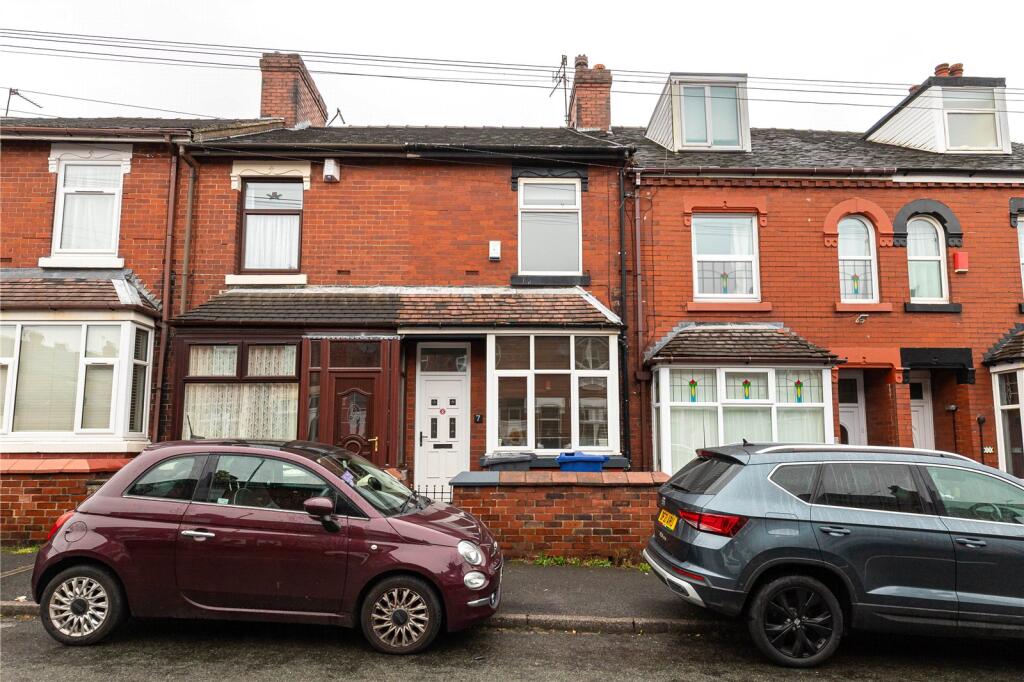
7 WOLSELEY ROAD
NEWCASTLE, STAFFORDSHIRE ST5 8AN
£750 pcm
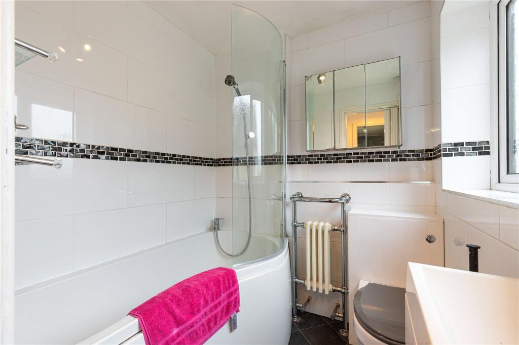
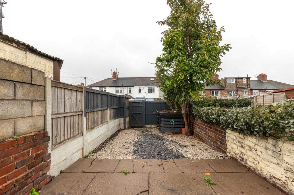
Property details
Floor area
69 m²
Council tax band
A
EPC rating
D
Year built
England and Wales: 1900-1929
Deprivation
Decile 7 (20,468 of 33,755)
Street crime
197 incidents within 1 mile (Aug 2026)
Key features
- Recently Redecorated & Recarpeted
- Two Double Bedrooms
- Excellent Commuter Links
- Moments From Newcastle & Hanley Town Centres
- Sizeable Garden To The Rear
- Available Immediately
Additional details
- Electricity
- Mains supply
- Water
- Mains supply
- Sewerage
- Mains supply
- Heating
- Gas central
- Accessibility
- No wheelchair access
- Parking
- On street, No permit
- Garden
- Yes
- Listed property
- No
- Restrictions
- No
- Required access
- No
- Flooded in last 5 years
- No
- Flood defences
- No
Description
This two bedroom mid-terraced property offers a fresh, clean and ready to enjoy base for anyone who wants to live and work in Newcastle under Lyme.
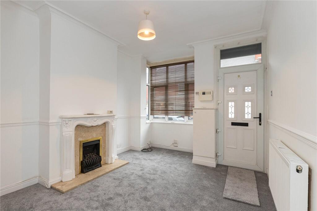
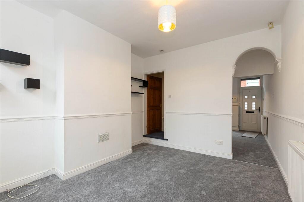
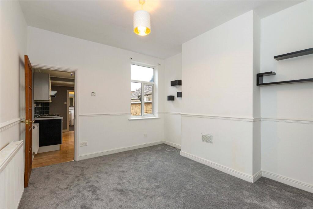
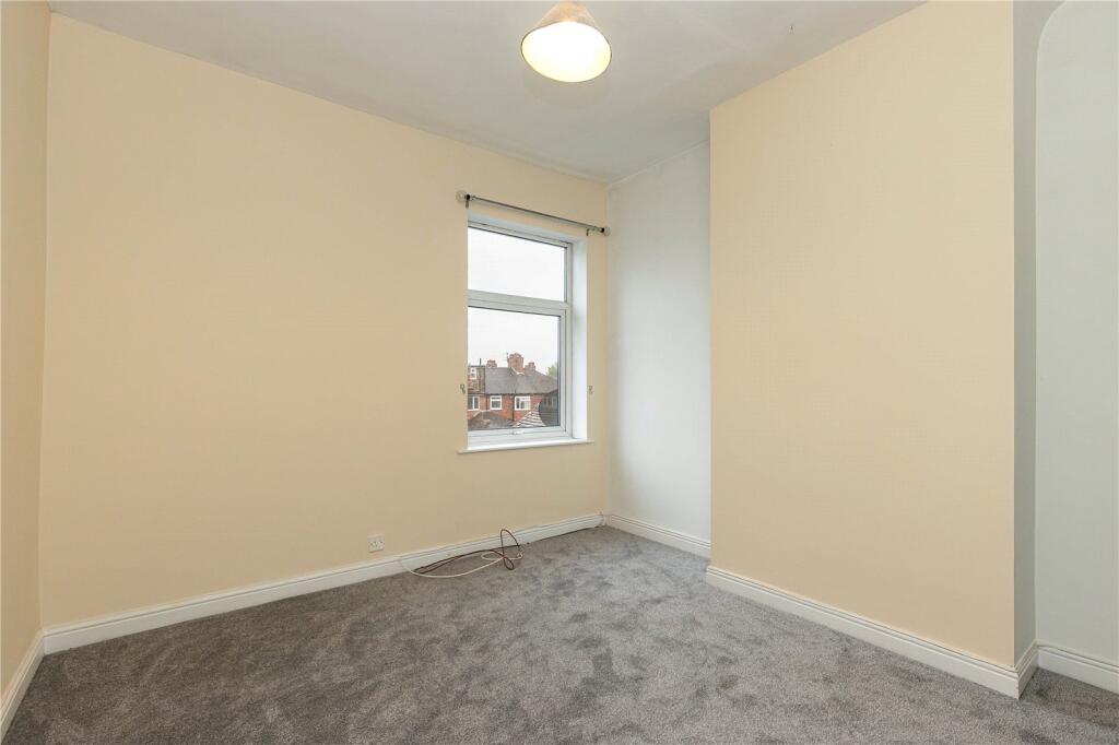
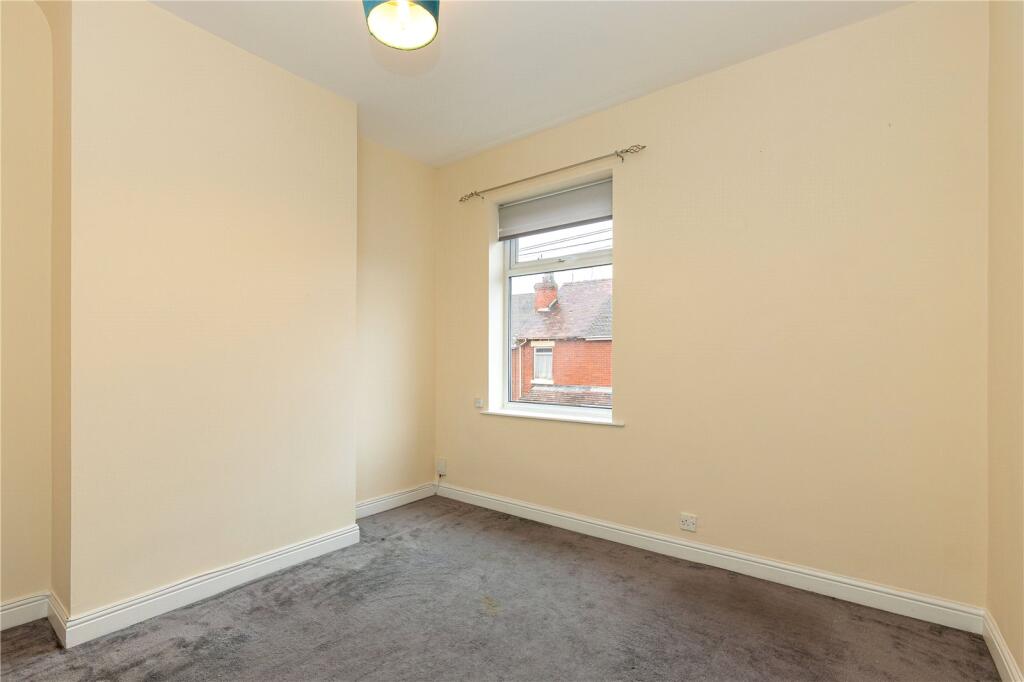
Recently redecorated and recarpeted, it provides a welcoming, and homely, environment to call home.
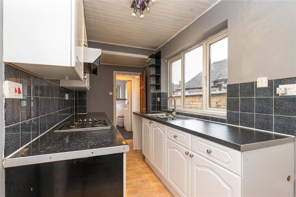
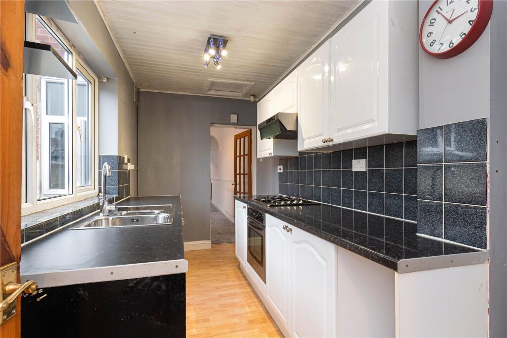
The ground-floor flows from a comfortable living room into a separate dining room, with a practical kitchen and bathroom completing the layout.
Upstairs, two double bedrooms offer generous room for rest, work or storage, and the sizeable rear garden gives you welcome outdoor space for quiet evenings, weekend projects or a place to unwind after the working day. Parking is on street, fully unrestricted and without the need for a permit, keeping daily routines straightforward.
The location is one of the strongest features of this home. Wolstanton Retail Park is only a short walk away, giving you easy access to major retailers, supermarkets and everyday essentials. Newcastle under Lyme town centre sits close by with its mix of shops, cafes, gyms, bars and services, while the wider area offers excellent commuter links via the A34, A500 and M6, along with regular public transport routes across the region. Green spaces such as Wolstanton Marsh, Queen’s Gardens and the Brampton Park provide places to walk, relax or enjoy time outdoors, and nearby neighbourhoods open up further amenities including convenience stores, takeaways, pharmacies and leisure facilities.
Whether you work locally, commute across Staffordshire or simply want a well connected place to call home, this property places you right at the heart of everything Newcastle under Lyme has to offer.
Listed by
Macclesfield
The Property Franchise Group
Reference: 94273209
EPC Rating & Upgrade Cost
Current rating: D
Potential rating: B
Inspection date: 27/11/2024
Expiry date: 26/11/2034
Current heating cost: £1,178/year
Potential heating cost: £777/year
Est. upgrade cost to C: £12,125
Recommendations
- Increase loft insulation to 270 mm (£100 - £350)
- Cavity wall insulation (£500 - £1,500)
- Floor insulation (suspended floor) (£800 - £1,200)
- Upgrade heating controls (£350 - £450)
- Solar water heating (£4,000 - £6,000)
- Solar photovoltaic panels, 2.5 kWp (£3,500 - £5,500)
Flood risk
Zone: 1
Risk: Low
Job (default Low)
Registered land (INSPIRE)
This location falls inside an HM Land Registry INSPIRE registered freehold polygon.
Plot: ~97 m² (0.02 acres)
Source: HM Land Registry INSPIRE Index Polygons.
Floorplans
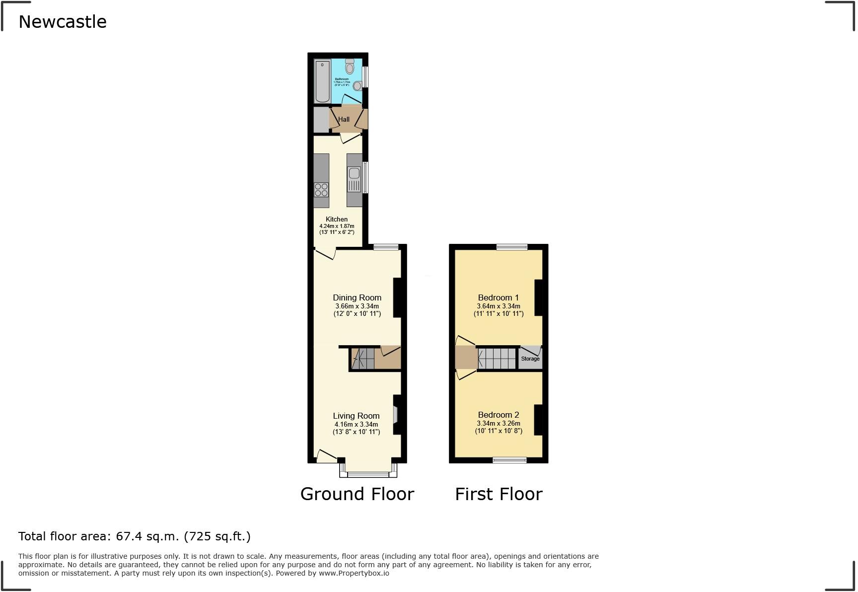
Floorplan
EPC Graphs
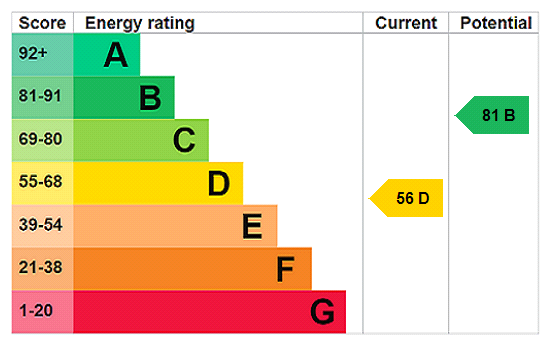
EPC Rating Graph
Rental Range
Estimated market rent for Newcastle-under-Lyme. Low = conservative, Realistic = average, Optimistic = best case.
Based on Local Authority from postcode lookup → Newcastle-under-Lyme.
LHA (30th percentile) floor for Staffordshire North: £479/mo (Apr 2025 – Mar 2026)
Location
Nearby
Nearest stations, universities and amenities (distance from property).
| Type | Name | Distance |
|---|---|---|
| Bus stop | Dimsdale Parade West | 0.1 miles |
| Bus stop | Clare Avenue | 0.1 miles |
| Shop | Unknown | 0.3 miles |
| Shop | The co-operative food | 0.4 miles |
| Train station | Longport | 0.8 miles |
| Train station | Silverdale | 1.6 miles |
| Hospital | Royal Stoke University Hospital | 2.1 miles |
| Hospital | Haywood Hospital Walk-in Centre | 2.3 miles |
| University | Keele University | 2.8 miles |
| University | University of Buckingham Crewe Campus | 9.1 miles |
Street-level crime
| Category | Count |
|---|---|
| Violence and sexual offences | 73 |
| Anti-social behaviour | 49 |
| Shoplifting | 23 |
| Public order | 15 |
| Criminal damage and arson | 12 |
| Burglary | 6 |
| Other crime | 5 |
| Other theft | 5 |
| Drugs | 4 |
| Bicycle theft | 3 |
| Possession of weapons | 1 |
| Robbery | 1 |
| Total incidents | 197 |
Within 1 mile during Aug 2026. Source: data.police.uk (England & Wales).
Schools nearby
Nearest open schools with Ofsted ratings (England). Closed schools are not shown. Data from Get Information about Schools and Ofsted.
| Name | Type | Distance | Ofsted |
|---|---|---|---|
| Cedars - Newcastle, Moorlands and Darwin Bases | Other | 0.3 miles | Good — 26 Jun 2015 |
| Kaleidoscope School | Other | 0.4 miles | Good — 10 Dec 2023 |
| The Orme Academy | Secondary | 0.4 miles | Good — 9 Jul 2024 |
| Oaklands Nursery School | Nursery | 0.4 miles | Outstanding — 15 Feb 2013 |
| Ellison Primary Academy | Primary | 0.5 miles | Good — 14 Sep 2023 |
Rental Comparables
Residential lets from OpenRent and Rightmove for the area (same bedroom count). Use to validate rent estimates. Student lets are excluded.
Average rent: £814/mo (53 listings)