7
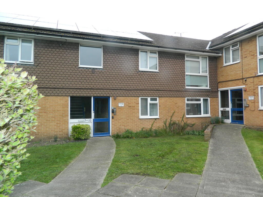
ALMA COURT, DROPMORE ROAD, SLOUGH, BURNHAM, BUCKINGHAMSHIRE SL1 8BG
Property details
Floor area
48 m²
Year built
England and Wales: 1967-1975
Deprivation
Decile 8 (24,497 of 33,755)
Street crime
119 incidents within 1 mile (Apr 2026)
Key features
- JUST OFF BURNHAM VILLAGE HIGH STREET
- SPACIOUS ACCOMMODATION
- MODERN KITCHEN WITH APPLIANCES
- MODERN SHOWER ROOM
- COMMUNAL OFF ROAD CAR PARK
- GAS CENTRAL HEATING
- DOUBLE GLAZED
- EPC = C74
Additional details
- Parking
- Yes
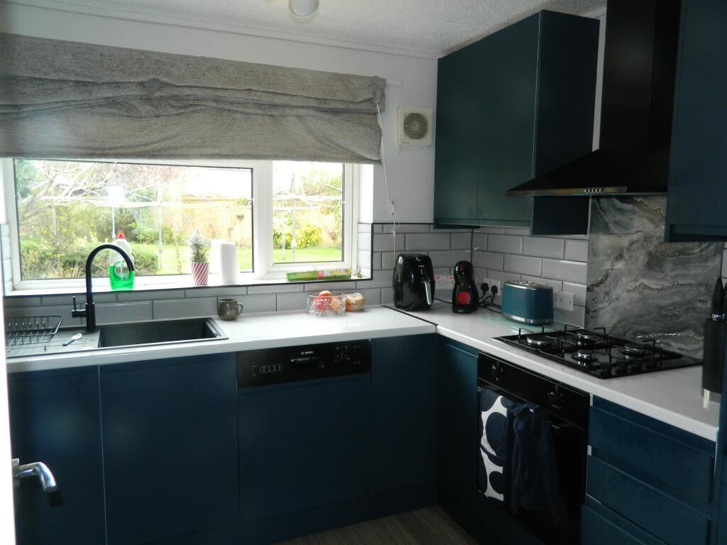
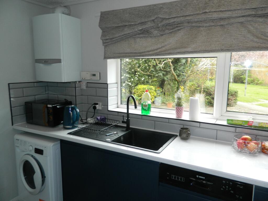
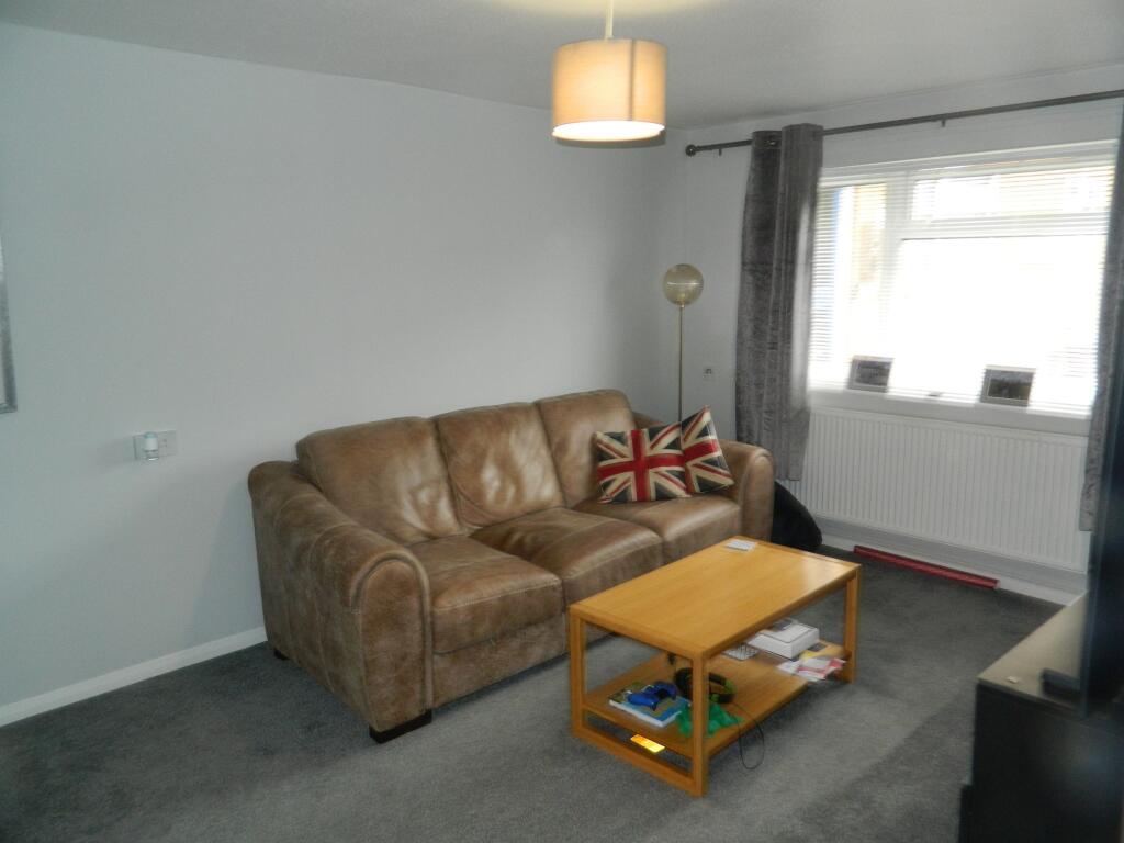
Description
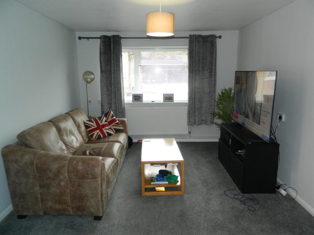
Lounge with sofa setee, coffee table & TV stand
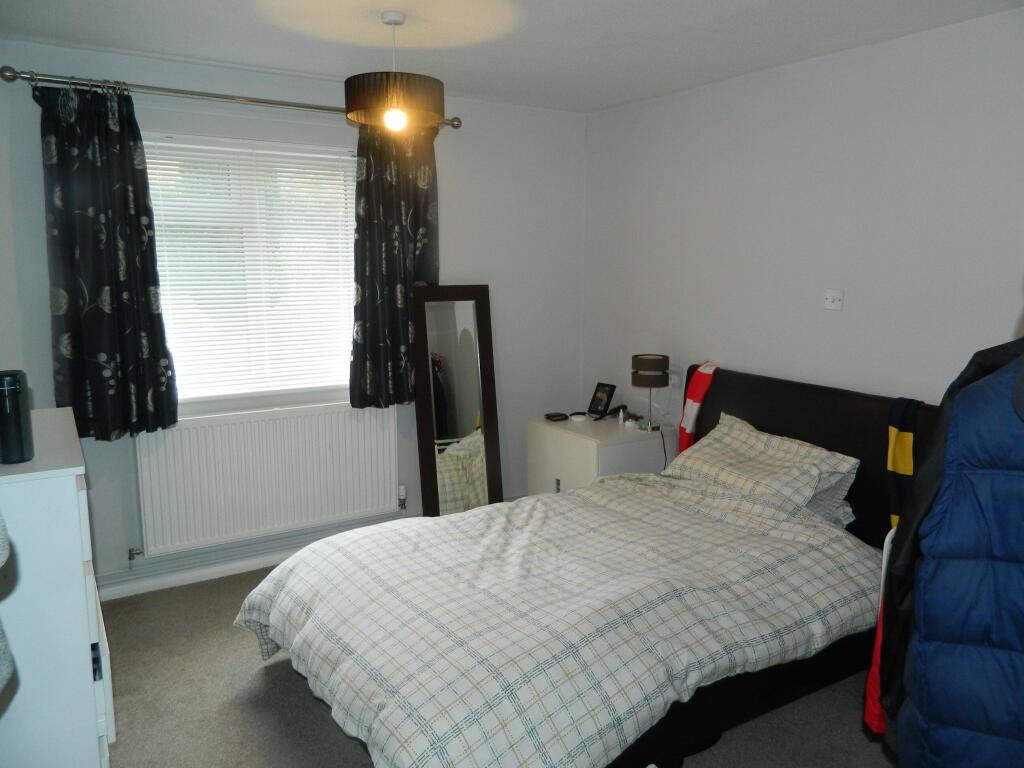
Bedroom with double bed, chest of drawes
Kitchen with fridge/freezer, washing machine & gas hob & electric oven
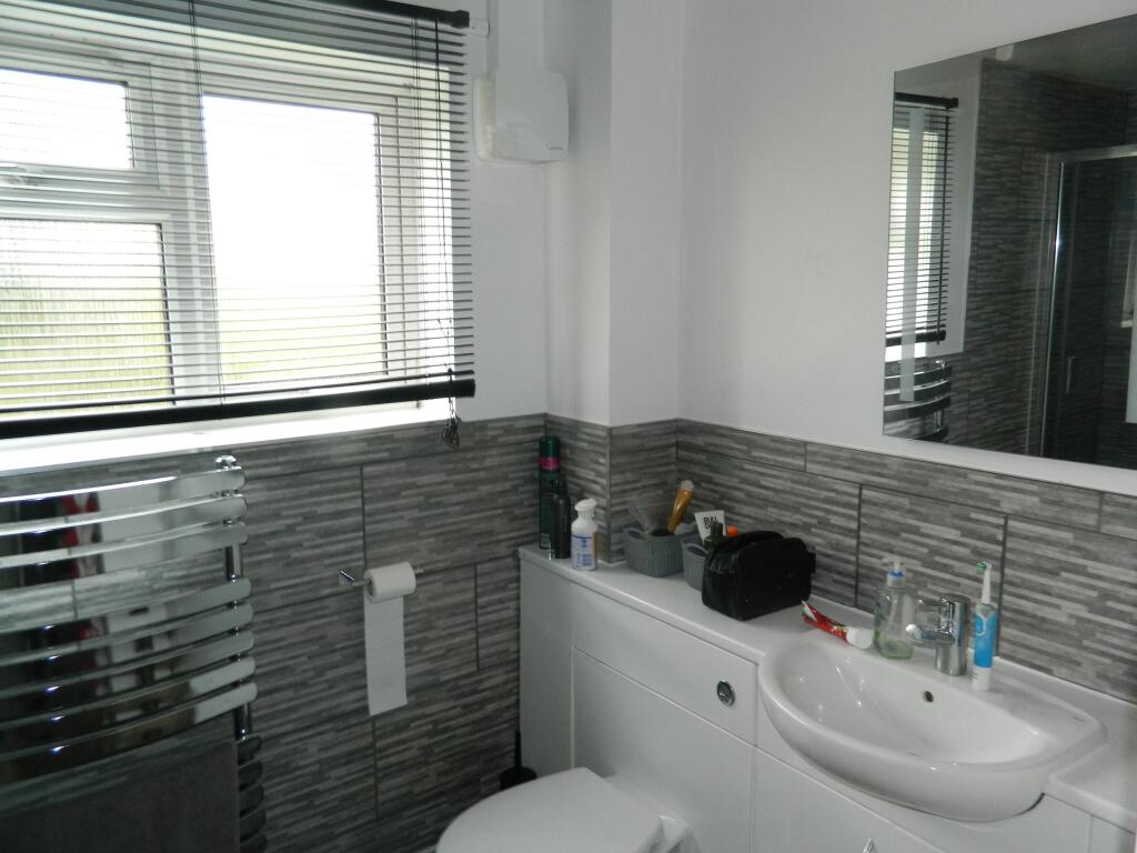
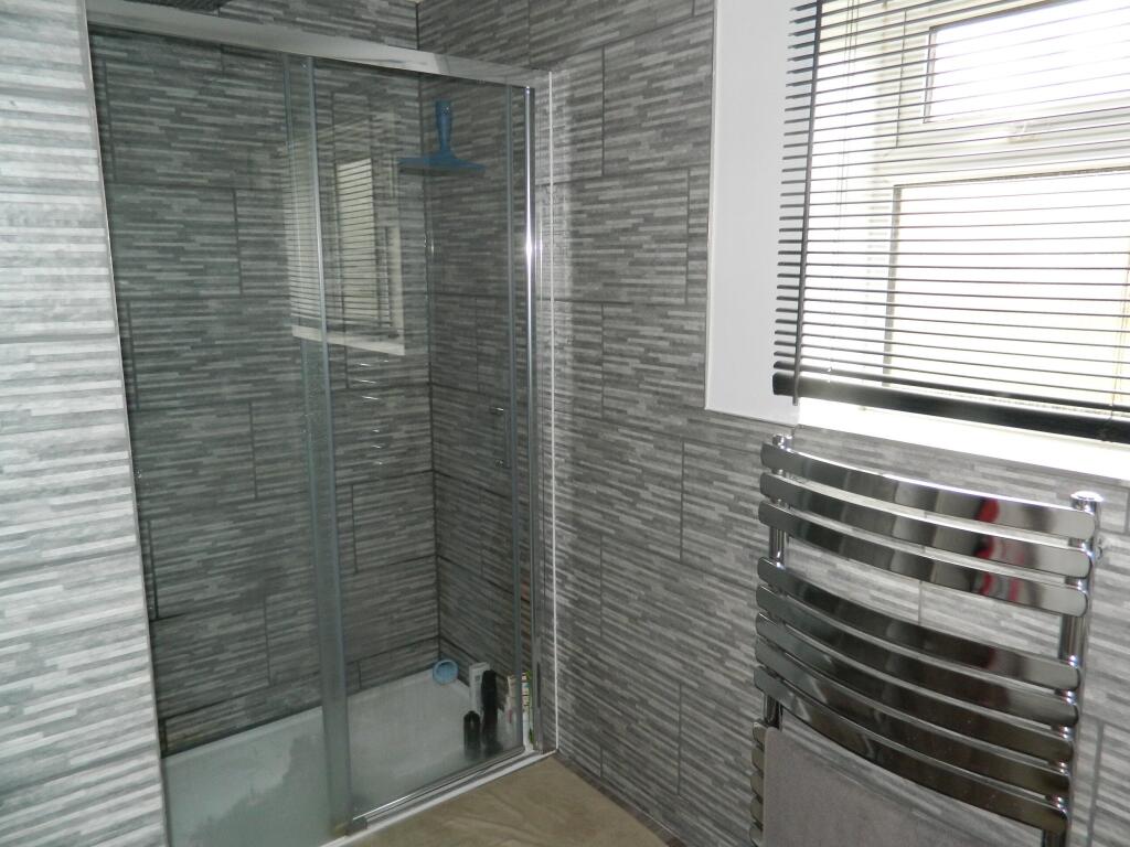
Shower room
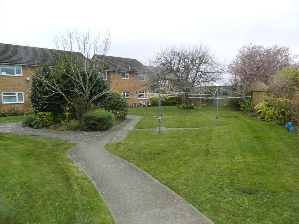
Communal garden
Communal off road carpark
Listed by
Cippenham
Lambourne Carmody
Reference: 159899327
EPC Rating & Upgrade Cost
Fetching EPC data… Refresh this page in a moment.
Flood risk
Zone: 1
Risk: Low
Job (default Low)
Rental Range
Estimated market rent for Buckinghamshire. Low = conservative, Realistic = average, Optimistic = best case.
Based on Local Authority from postcode lookup → Buckinghamshire.
LHA (30th percentile) floor for East Thames Valley: £898/mo (Apr 2025 – Mar 2026)
Location
Address
Britwell Road
Nearby
Nearest stations, universities and amenities (distance from property).
| Type | Name | Distance |
|---|---|---|
| Shop | The Tuck SHop | 0.0 miles |
| Shop | Head First | 0.0 miles |
| Bus stop | Almond Road | 0.2 miles |
| Train station | Burnham | 1.0 miles |
| Train station | Taplow | 1.4 miles |
| Hospital | Upton Hospital | 3.5 miles |
| Hospital | Wexham Park Hospital | 3.6 miles |
| University | National Film and Television School | 4.9 miles |
| University | Buckinghamshire New University (Wycombe Campus) | 7.5 miles |
Street-level crime
| Category | Count |
|---|---|
| Violence and sexual offences | 57 |
| Anti-social behaviour | 11 |
| Criminal damage and arson | 11 |
| Public order | 11 |
| Vehicle crime | 9 |
| Other theft | 8 |
| Burglary | 3 |
| Drugs | 3 |
| Other crime | 2 |
| Shoplifting | 2 |
| Bicycle theft | 1 |
| Possession of weapons | 1 |
| Total incidents | 119 |
Within 1 mile during Apr 2026. Source: data.police.uk (England & Wales).
Schools nearby
Nearest open schools with Ofsted ratings (England). Closed schools are not shown. Data from Get Information about Schools and Ofsted.
| Name | Type | Distance | Ofsted |
|---|---|---|---|
| St Peter's Church of England Primary School | Primary | 0.2 miles | Good — 16 Jan 2017 |
| Burnham Grammar School | Secondary | 0.4 miles | Good — 13 Dec 2012 |
| Our Lady of Peace Catholic Primary and Nursery School | Primary | 0.7 miles | Good — 23 Apr 2019 |
| Priory School | Primary | 0.7 miles | — (Inspected (no overall grade)) |
| Lent Rise School | Primary | 0.8 miles | Good — 23 Mar 2015 |
Rental Comparables
Residential lets from OpenRent and Rightmove for the area (same bedroom count). Use to validate rent estimates. Student lets are excluded.
| Title | Rent | Beds | Distance | As seen on |
|---|---|---|---|---|
| Studio Flat, Burnham, SL1 | £1,100/mo | 1 | 0.13 miles | OpenRent |
| Studio Flat, Crosthwaite Way, SL1 | £600/mo | 1 | 0.73 miles | OpenRent |
| Studio Flat, Crosthwaite Way, SL1 | £875/mo | 1 | 0.82 miles | OpenRent |
Average rent: £858/mo (3 listings)