82 QUEENSVILLE
STAFFORD, STAFFORD, STAFFORDSHIRE ST17 4NX
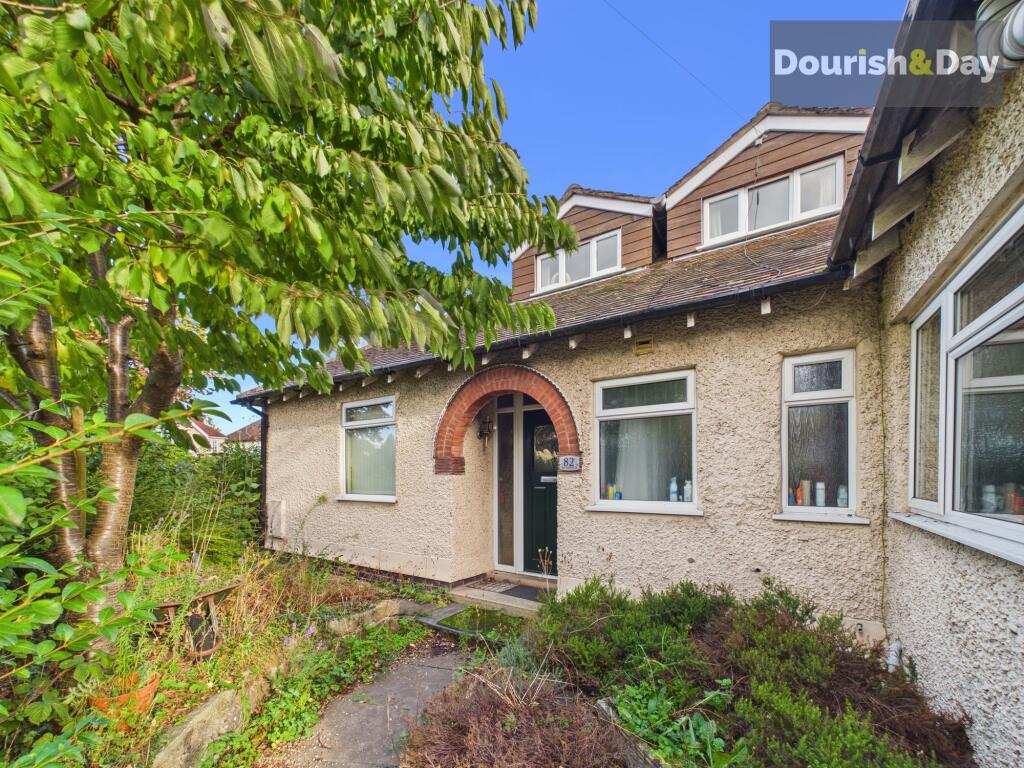
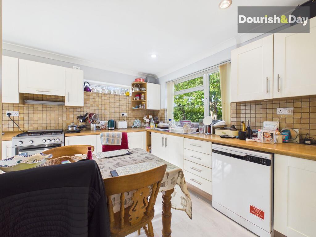
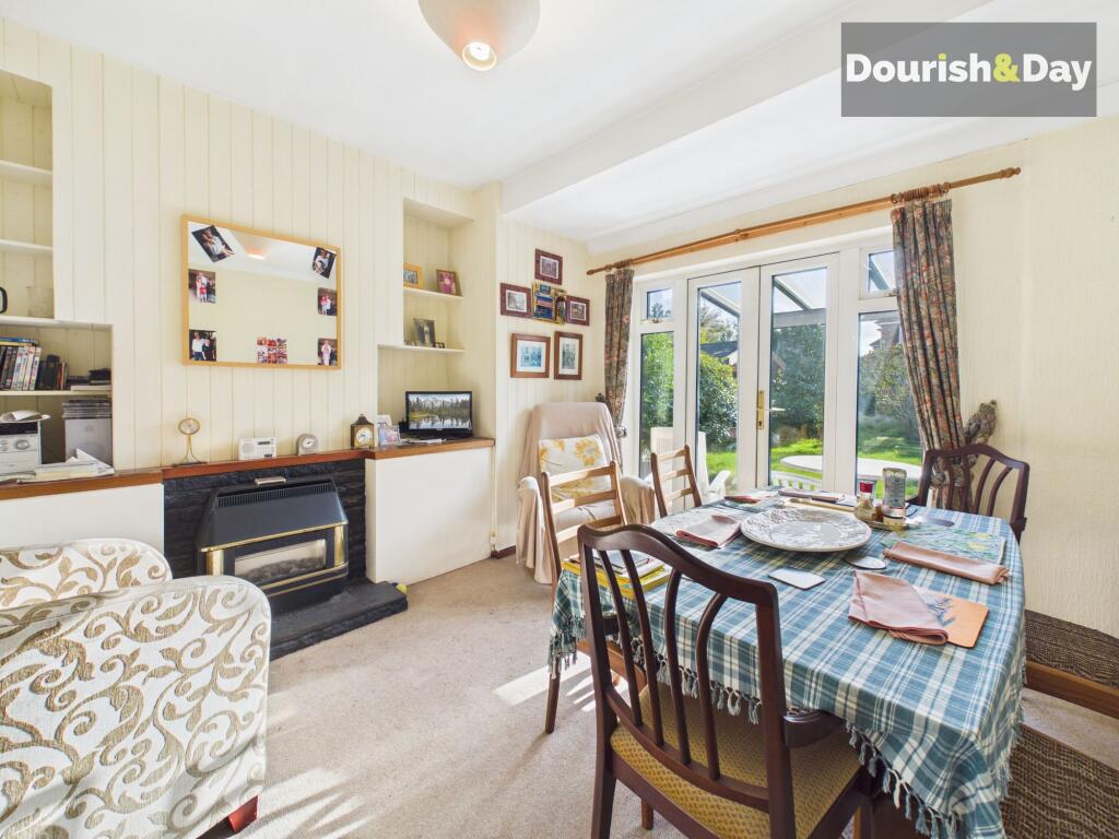
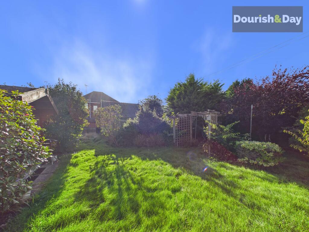
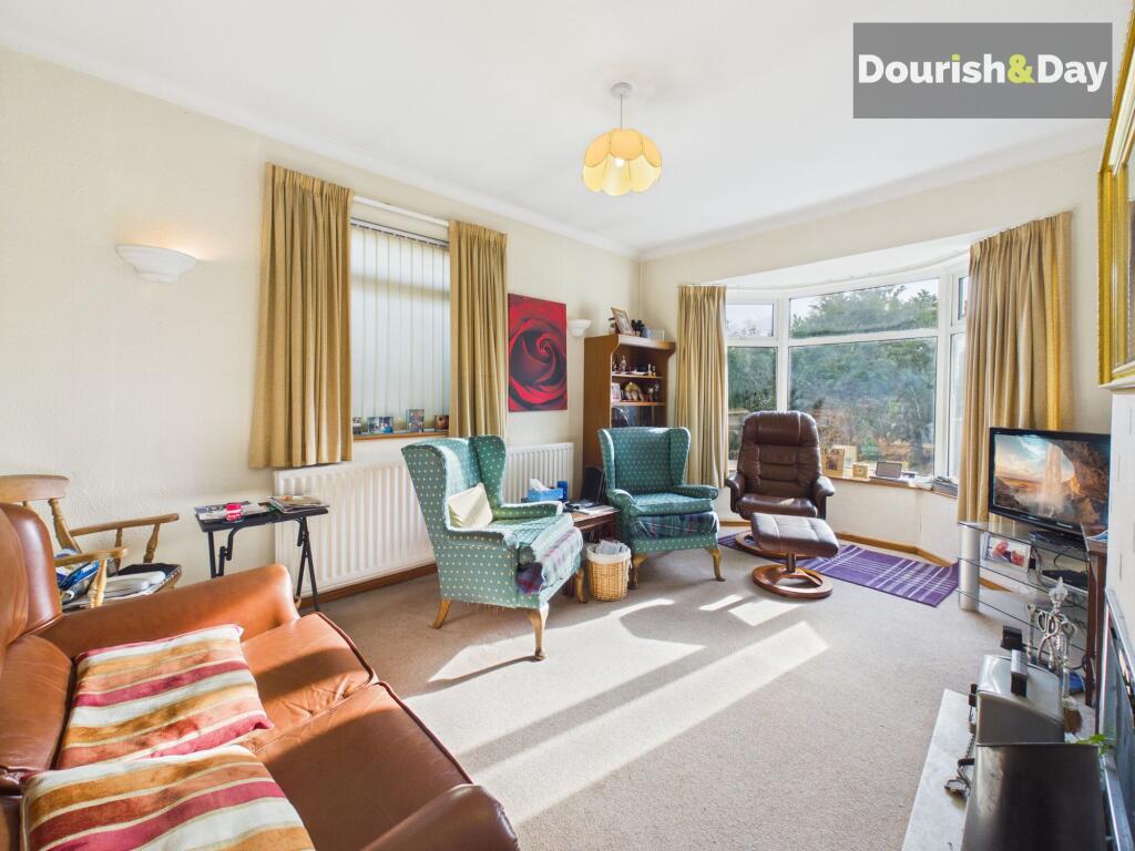
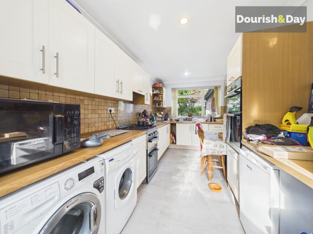
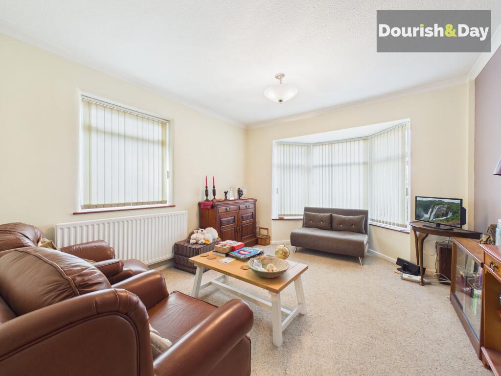
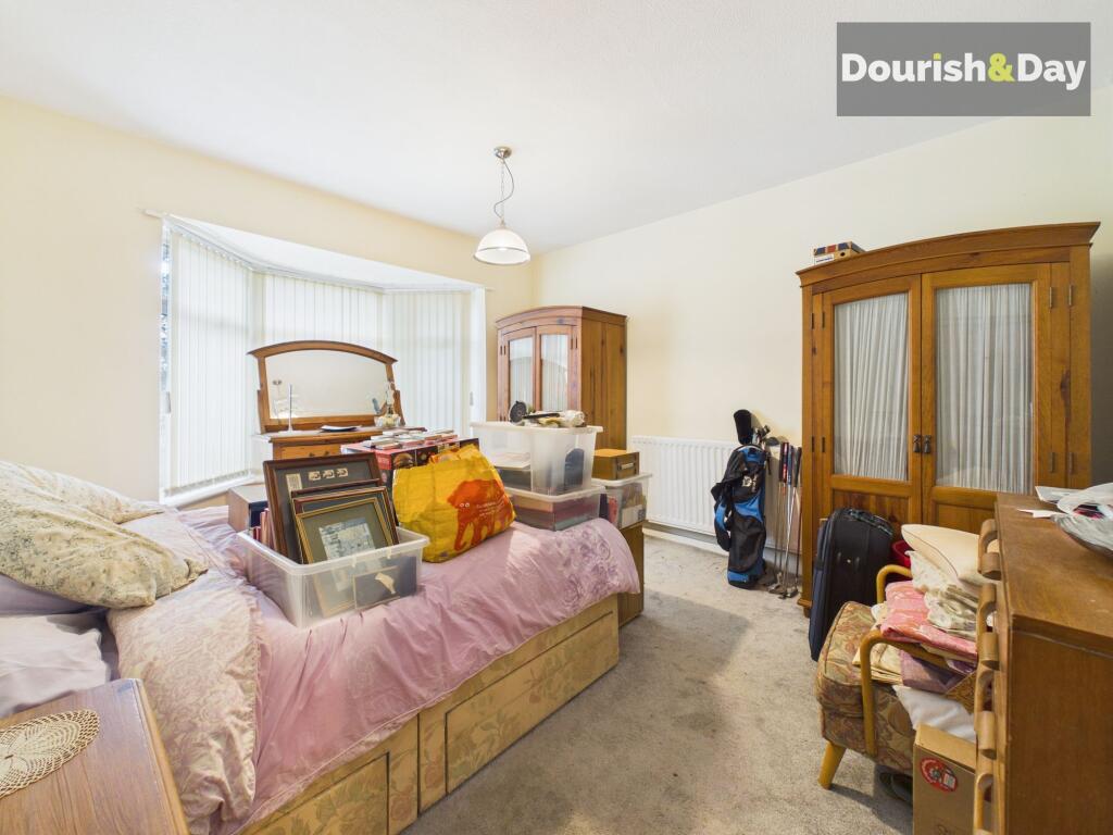
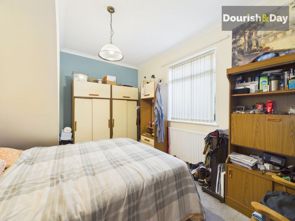
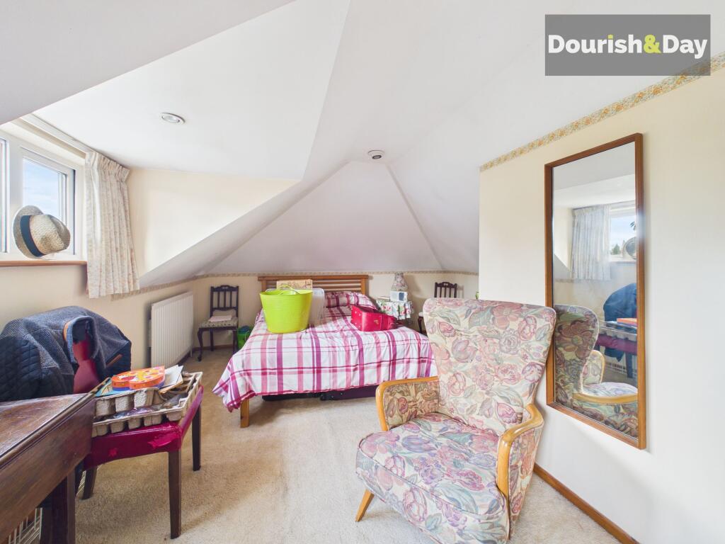
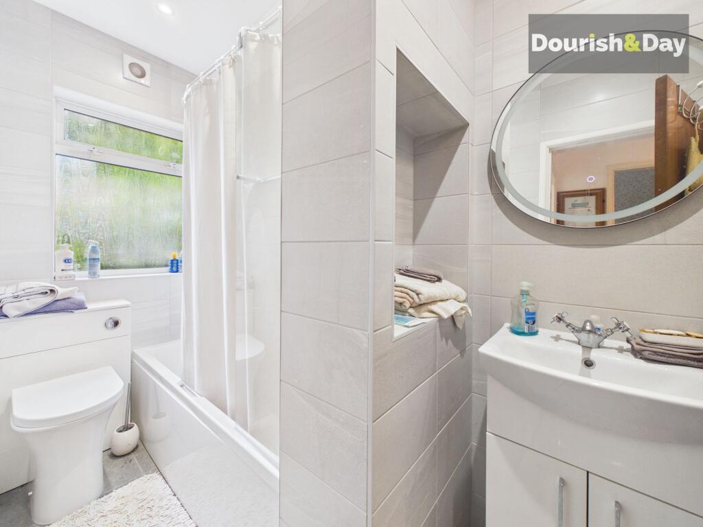
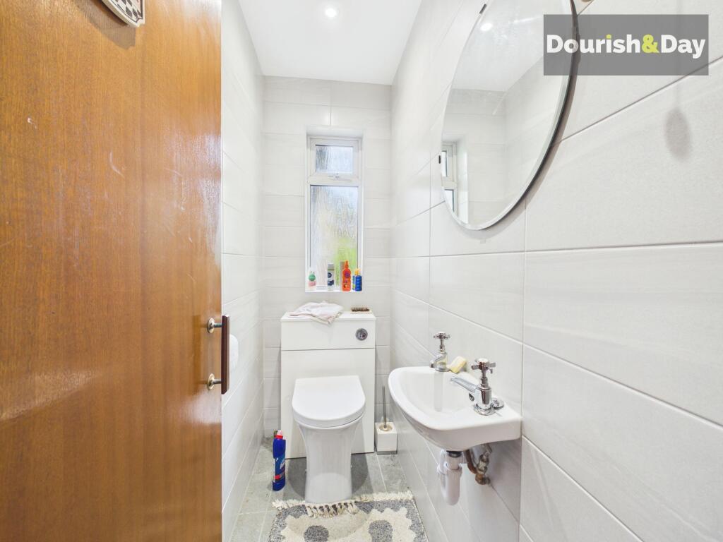
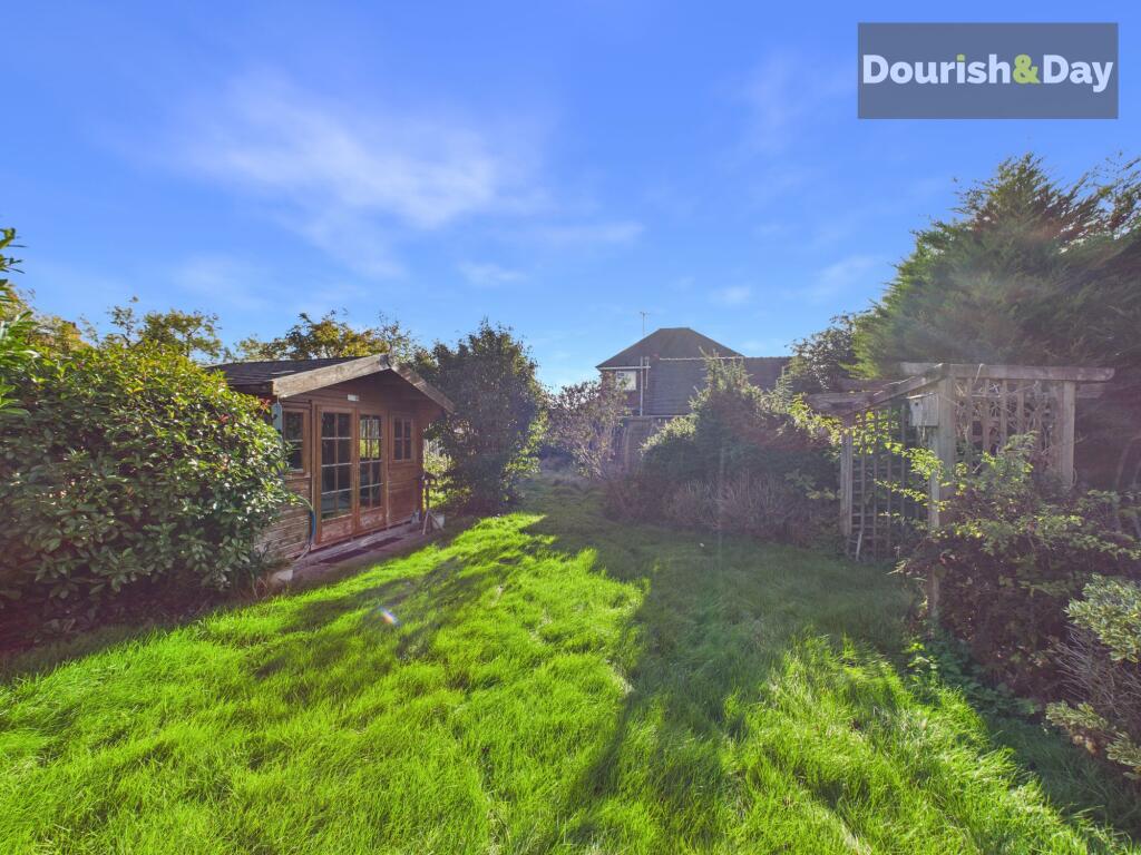
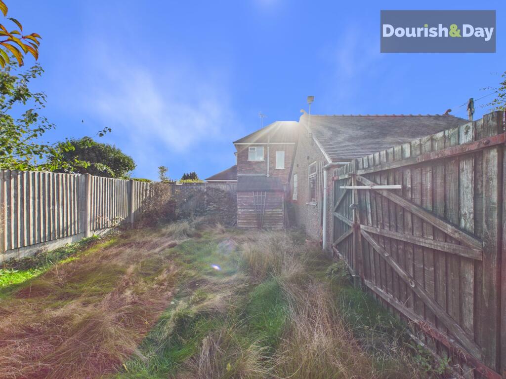
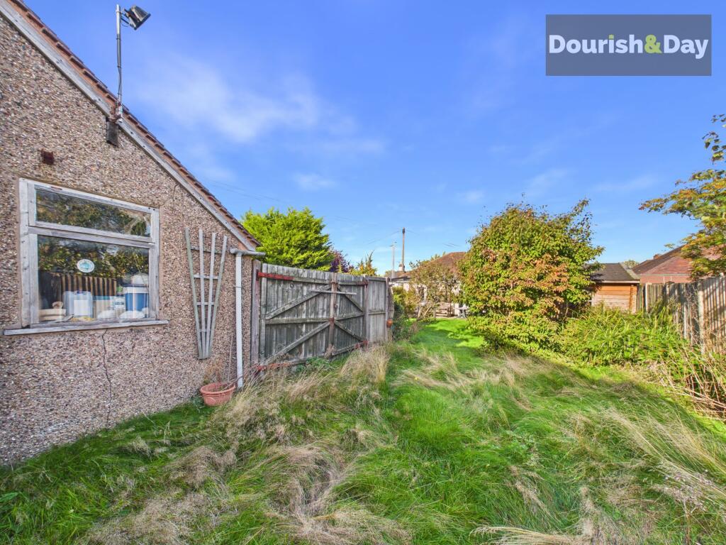
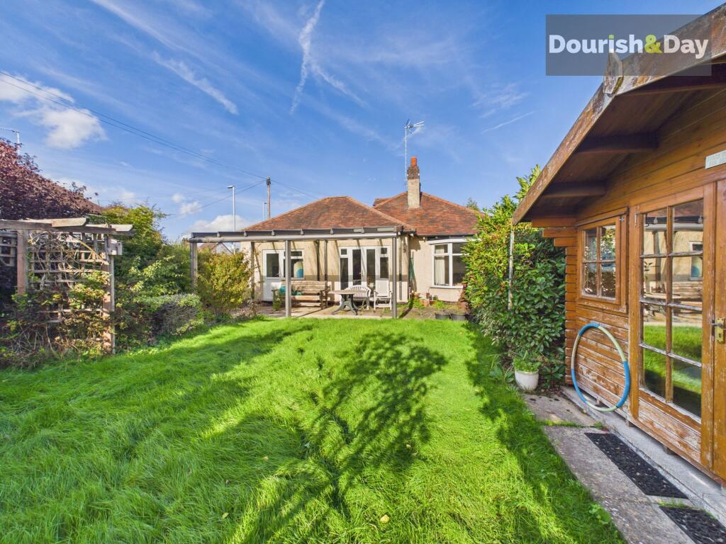
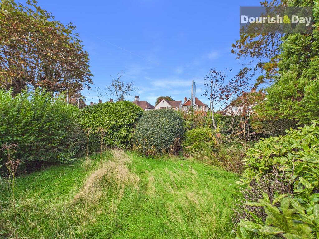
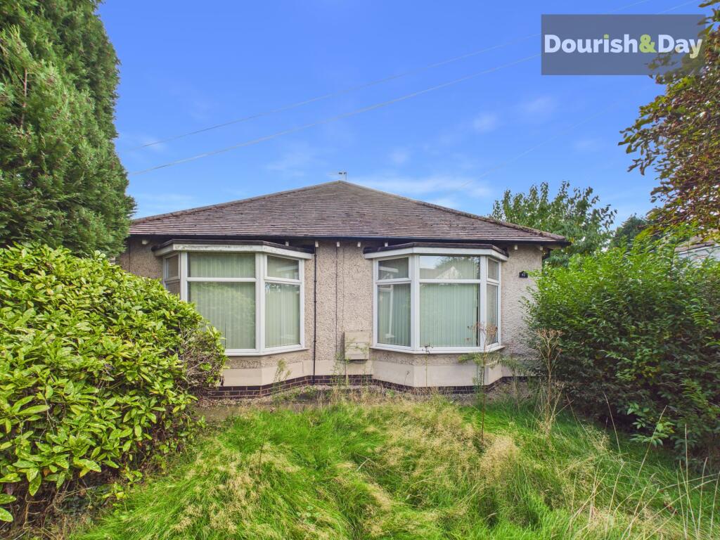
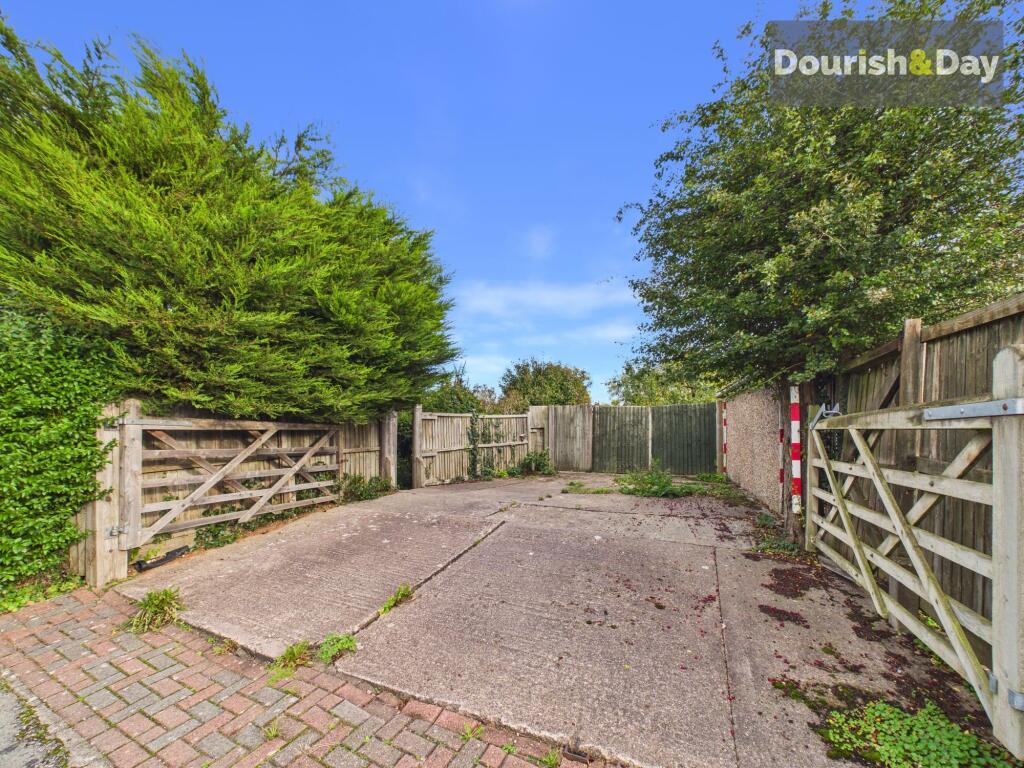
Photo 1 Photo 2 Photo 3 Photo 4 Photo 5 Photo 6 Photo 7 Photo 8 Photo 9 Photo 10 Photo 11 Photo 12 Photo 13 Photo 14 Photo 15 Photo 16 Photo 17 Photo 18 Photo 19
/ 19
Property details
Tenure
FREEHOLD
Floor area
138 m²
Council tax band
D
EPC rating
D
Year built
England and Wales: 1950-1966
Last sold
£199,000 Dec 2003
Price per m²
£2,536/m²
Local average
£401,051 (-12.7%)
Deprivation
Decile 9 (29,135 of 33,755)
Street crime
172 incidents within 1 mile (Aug 2026)
Key features
- Four-bedroom detached dormer bungalow
- Spacious and versatile accommodation
- Generous plot with driveway and private gardens
- Fantastic potential to make your own
- Walking distance to shops, pubs and local amenities
- Offered for sale with no upward chain
Additional details
- Parking
- Driveway
- Garden
- Private garden
- Listed property
- No
- Restrictions
- No
- Required access
- No
- Rights of way
- No
- Flooded in last 5 years
- No
- Flood defences
- No
Description
A royal opportunity awaits on Queensville! This spacious four-bedroom detached dormer bungalow offers fantastic potential for buyers looking to create a home of their own. Occupying a generous plot with a driveway and private gardens, the property is offered for sale with no upward chain, making it an exciting prospect for a range of buyers.
The location is equally appealing, with Aldi, two pubs and the shops at Queens Retail Park all within walking distance. Well-regarded schools are nearby, making this a great option for families, while Stafford Town Centre, its mainline railway station and the M6 motorway are all within easy reach.
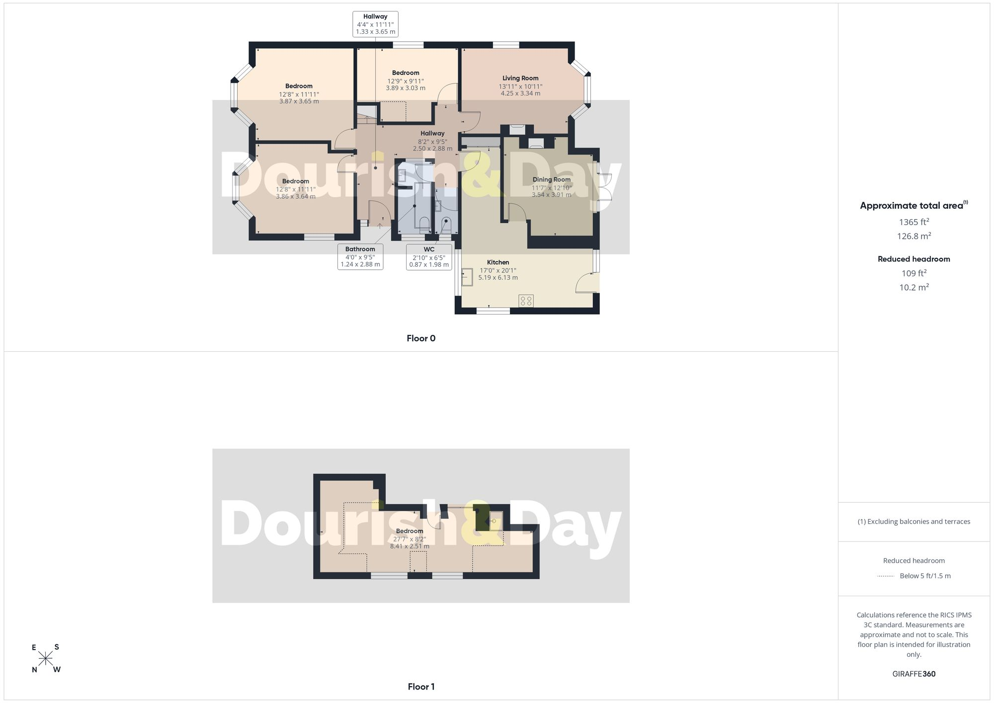
Internally, the accommodation comprises of an entrance hallway with a guest WC, a spacious living room, separate dining room, kitchen, three double bedrooms and a family bathroom. Upstairs, a further spacious double bedroom provides additional accommodation, offering plenty of flexibility for growing families, visiting guests or those needing space to work from home.
With its generous plot, versatile accommodation and scope to make it your own, this is a fantastic opportunity to secure a spacious home in a convenient location.
EPC Rating: D
Listed by
Stafford
Dourish & Day
Reference: 94444398
EPC Rating & Upgrade Cost
Current rating: D
Potential rating: C
Inspection date: 01/11/2024
Expiry date: 31/10/2034
Current heating cost: £1,872/year
Potential heating cost: £1,087/year
Est. upgrade cost to C: £17,635
Recommendations
- Room-in-roof insulation (£1,500 - £2,700)
- Cavity wall insulation (£500 - £1,500)
- Floor insulation (solid floor) (£4,000 - £6,000)
- Low energy lighting for all fixed outlets (£35)
- Solar water heating (£4,000 - £6,000)
- Solar photovoltaic panels, 2.5 kWp (£3,500 - £5,500)
Flood risk
Zone: 1
Risk: Low
Job (default Low)
Registered land (INSPIRE)
This location falls inside an HM Land Registry INSPIRE registered freehold polygon.
Plot: ~653 m² (0.16 acres)
Source: HM Land Registry INSPIRE Index Polygons.
Floorplans
All
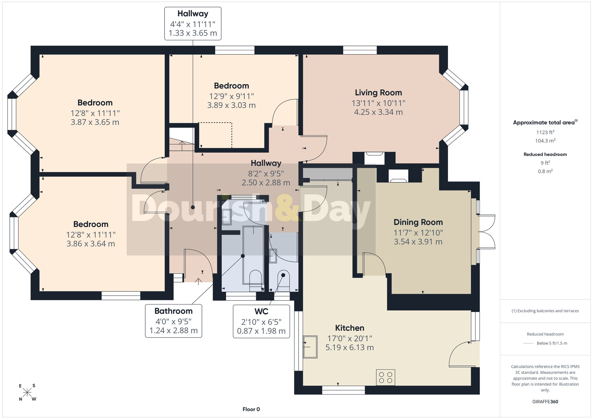
Ground Floor
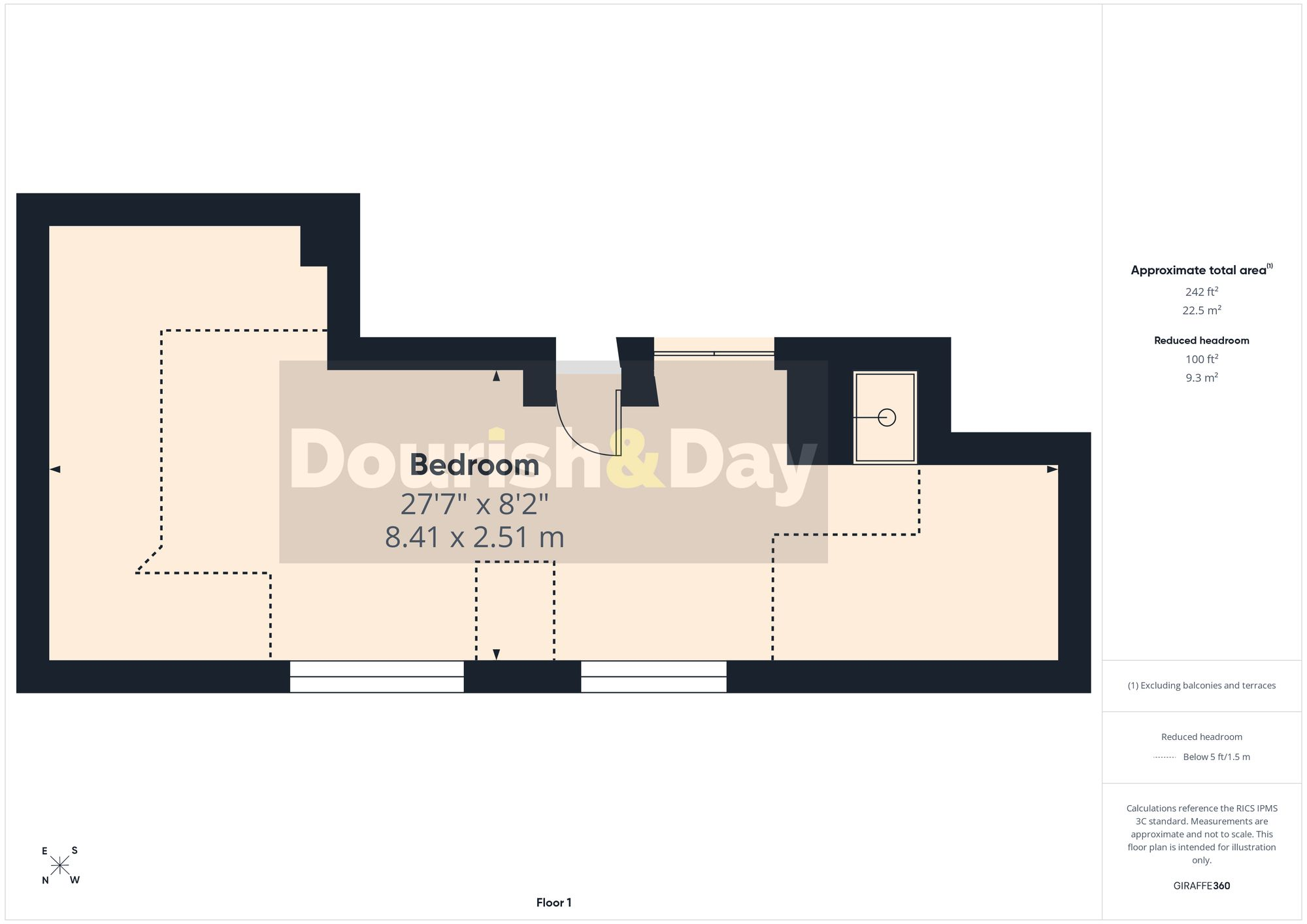
First Floor
EPC Graphs
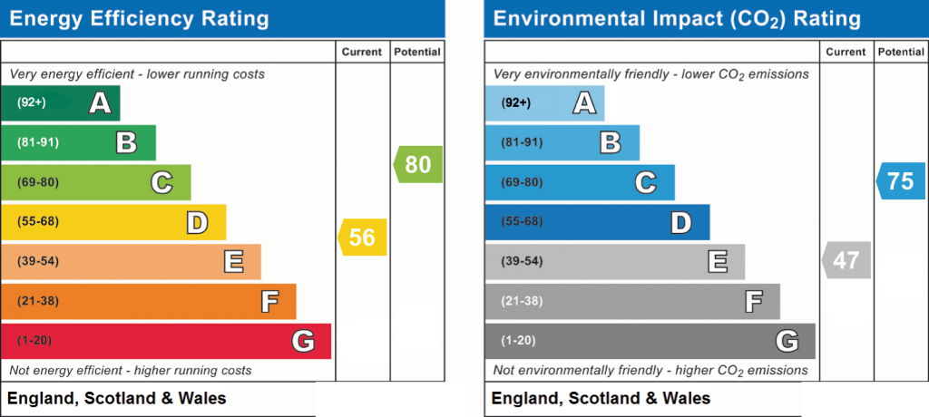
EPC 1
Price history
| Event | Date | Price | % change |
|---|---|---|---|
| Listed for sale | — | £350,000 | +75.9% |
| Sold | 18/12/2003 (22 years ago) | £199,000 | — |
Source: HM Land Registry Price Paid Data. Crown copyright.
Sold Comparables
Same street and nearby sales within 0.25 miles (last 5 years). Data from Land Registry Price Paid.
| Address | Price | Date | Type |
|---|---|---|---|
| 4 BENENDEN CLOSE, STAFFORD, STAFFORDSHIRE, ST17 4TQ | £246,000 | 12/12/2025 | Detached |
| 3 LANCING AVENUE, STAFFORD, STAFFORDSHIRE, ST17 4TW | £360,000 | 31/03/2025 | Detached |
| 6 LANDSTONE ROAD, STAFFORD, STAFFORDSHIRE, ST17 4XT | £283,500 | 01/09/2023 | Detached |
| 27 ROEDEAN AVENUE, STAFFORD, STAFFORDSHIRE, ST17 4TP | £300,000 | 07/08/2023 | Detached |
| 19 MALVERN CLOSE, STAFFORD, STAFFORDSHIRE, ST17 4TH | £268,000 | 11/07/2023 | Detached |
| 56 AMPLEFORTH DRIVE, STAFFORD, STAFFORDSHIRE, ST17 4TR | £247,000 | 22/03/2023 | Detached |
| 1 DAURADA DRIVE, STAFFORD, STAFFORDSHIRE, ST17 4XW | £385,000 | 19/12/2022 | Detached |
| 1 QUEENSVILLE COURT, STAFFORD, STAFFORDSHIRE, ST17 4NN | £360,000 | 25/11/2022 | Detached |
| 44 AMPLEFORTH DRIVE, STAFFORD, STAFFORDSHIRE, ST17 4TE | £305,000 | 30/09/2022 | Detached |
| 19 SAVOUREUSE DRIVE, STAFFORD, STAFFORDSHIRE, ST17 4XU | £345,000 | 05/08/2022 | Detached |
| 70 LANCASTER ROAD, STAFFORD, STAFFORDSHIRE, ST17 4PF | £315,000 | 21/07/2022 | Detached |
| 18 HAINER CLOSE, STAFFORD, STAFFORDSHIRE, ST17 4XH | £230,000 | 29/04/2022 | Detached |
| 10 LANCING AVENUE, STAFFORD, STAFFORDSHIRE, ST17 4TW | £228,700 | 08/04/2022 | Detached |
| 1 LANCING AVENUE, STAFFORD, STAFFORDSHIRE, ST17 4TW | £340,000 | 23/03/2022 | Detached |
| 34 AMPLEFORTH DRIVE, STAFFORD, STAFFORDSHIRE, ST17 4TE | £270,000 | 11/03/2022 | Detached |
| 8 ETON CLOSE, STAFFORD, STAFFORDSHIRE, ST17 4TF | £225,000 | 28/01/2022 | Detached |
| 83 AMPLEFORTH DRIVE, STAFFORD, STAFFORDSHIRE, ST17 4TR | £360,000 | 15/12/2021 | Detached |
Area average: £298,129 (17 sales)
Capital growth trend
Land Registry outcode average: last 12 months vs 5y and 10y ago (from sold prices).
House Price Index (HM Land Registry — official index, not sold-price averages): Stafford. Series: Detached. As of July 2026.
Rental Range
Estimated market rent for Stafford. Low = conservative, Realistic = average, Optimistic = best case.
Based on Local Authority from postcode lookup → Stafford.
LHA (30th percentile) floor for Mid Staffs: £992/mo (Apr 2025 – Mar 2026)
Location
Nearby
Nearest stations, universities and amenities (distance from property).
| Type | Name | Distance |
|---|---|---|
| Bus stop | Kent Way | 0.0 miles |
| Bus stop | Windsor Road | 0.1 miles |
| Shop | B&Q | 0.6 miles |
| Shop | Home Bargains | 0.6 miles |
| Hospital | County Hospital | 1.2 miles |
| Hospital | St George's Hospital | 1.3 miles |
| Train station | Stafford | 1.3 miles |
| University | Staffordshire University Centre for Health Innovation | 1.7 miles |
| Train station | Penkridge | 4.9 miles |
Street-level crime
| Category | Count |
|---|---|
| Violence and sexual offences | 70 |
| Anti-social behaviour | 23 |
| Other theft | 14 |
| Public order | 13 |
| Shoplifting | 13 |
| Vehicle crime | 9 |
| Burglary | 7 |
| Criminal damage and arson | 7 |
| Drugs | 7 |
| Robbery | 4 |
| Possession of weapons | 2 |
| Bicycle theft | 1 |
| Other crime | 1 |
| Theft from the person | 1 |
| Total incidents | 172 |
Within 1 mile during Aug 2026. Source: data.police.uk (England & Wales).
Schools nearby
Nearest open schools with Ofsted ratings (England). Closed schools are not shown. Data from Get Information about Schools and Ofsted.
| Name | Type | Distance | Ofsted |
|---|---|---|---|
| Silkmore Primary Academy | Primary | 0.6 miles | Outstanding — 30 May 2018 |
| St Leonard's Primary School | Primary | 0.6 miles | — (Inspected (no overall grade)) |
| St Anne's Catholic Primary School | Primary | 0.7 miles | Good — 18 Jan 2024 |
| St Paul's CofE (C) Primary School | Primary | 0.8 miles | Outstanding — 26 Jun 2018 |
| Barnfields Primary School | Primary | 0.8 miles | Good — 16 Jun 2014 |
Rental Comparables
Residential lets from OpenRent and Rightmove for the area (same bedroom count). Use to validate rent estimates. Student lets are excluded.
| Title | Rent | Beds | Distance | As seen on |
|---|---|---|---|---|
| 4 Bed Terraced House, Corporation Street, ST16 | £472/mo | 4 | 1.26 miles | OpenRent |
Average rent: £472/mo (1 listing)
Rent-driven metrics
Based on OpenRent comparables.
- Rent ratio — Monthly rent ÷ purchase price (1% rule). 1%+ = strong, 0.8–1% = okay, <0.8% = weak for cashflow.
- Max investor price — Rent ÷ 0.8%; the price at which rent would be 0.8% of price (Stoke-style target).
- Target investor price — Rent ÷ 1%; the price at which rent would be 1% of price (strong cashflow band).
- Gross yield — Annual rent as % of purchase price (no costs).
- Cost-to-rent — Price ÷ annual rent (from OpenRent comparables). Under 14× = strong, 14–16× = acceptable, 17×+ = compressed.
- Cashflow — Rent minus mortgage, 10% maintenance, £25/mo compliance. Assumes 75% LTV, 3.95% APR (5yr fixed), 25yr term.
- ROI — Annual profit ÷ cash in (deposit + 4% purchase costs).