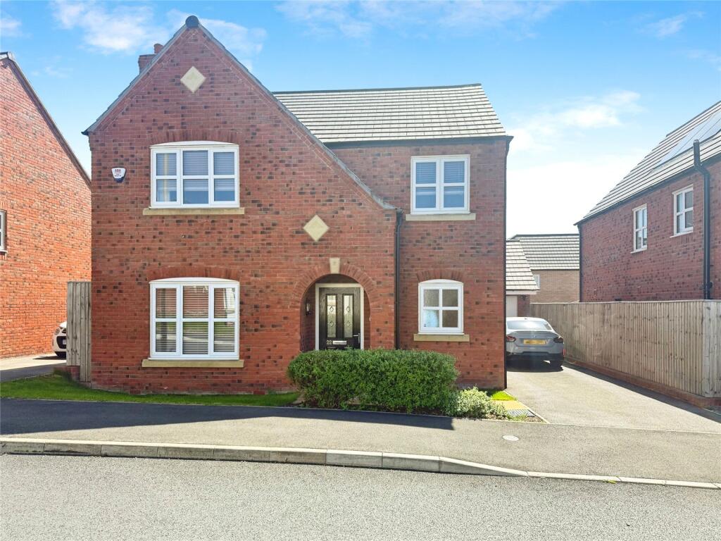
22 MORCOM DRIVE
LEICESTER, LEICESTER LE2 8BU
£1,700 pcm
Property details
Floor area
127 m²
Council tax band
TBC
Deprivation
Decile 6 (18,808 of 33,755)
Street crime
290 incidents within 1 mile (May 2026)
Key features
- Four Bedroom Family Home
- Beautiful Throughout
- Available Now
- Driveway
- Unfurnished
- Sought After Location Of Aylestone
Additional details
- Parking
- Yes
- Garden
- Yes
Description
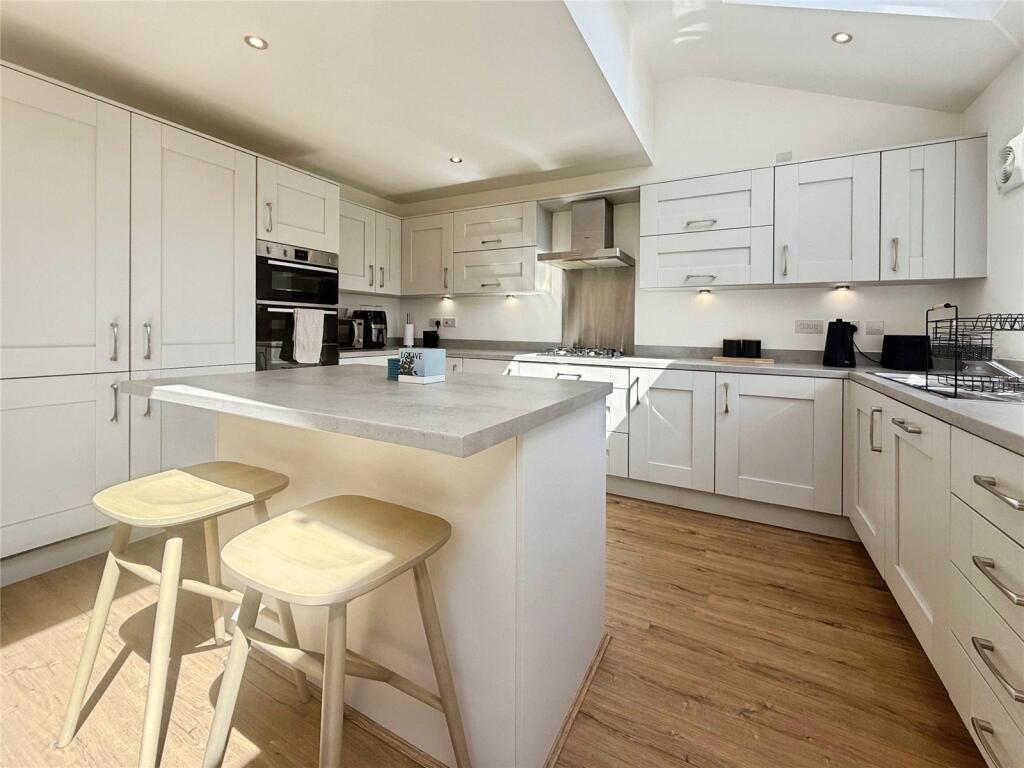
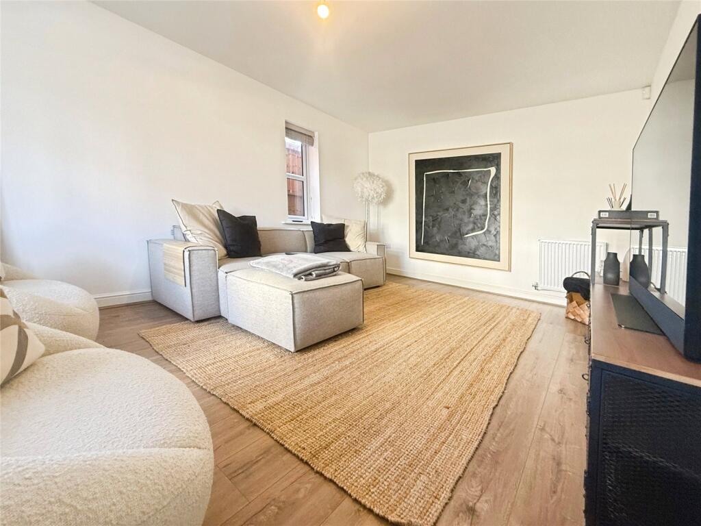
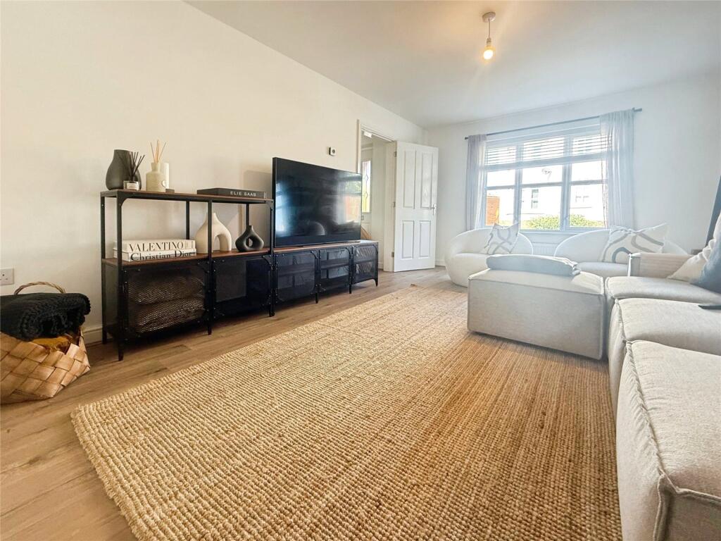
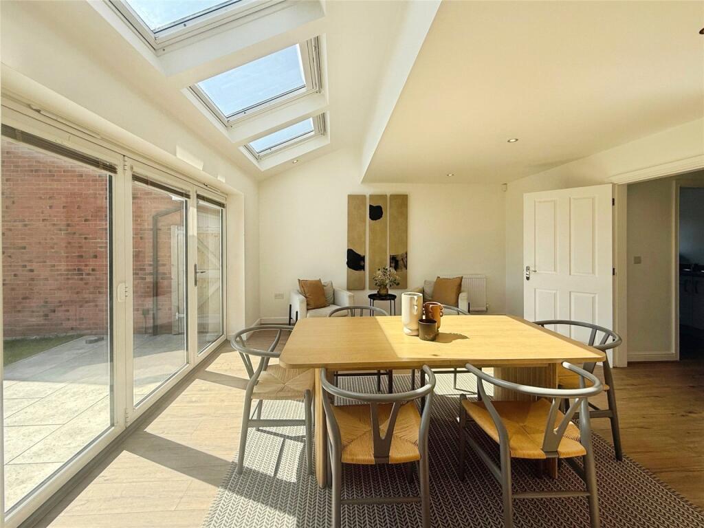
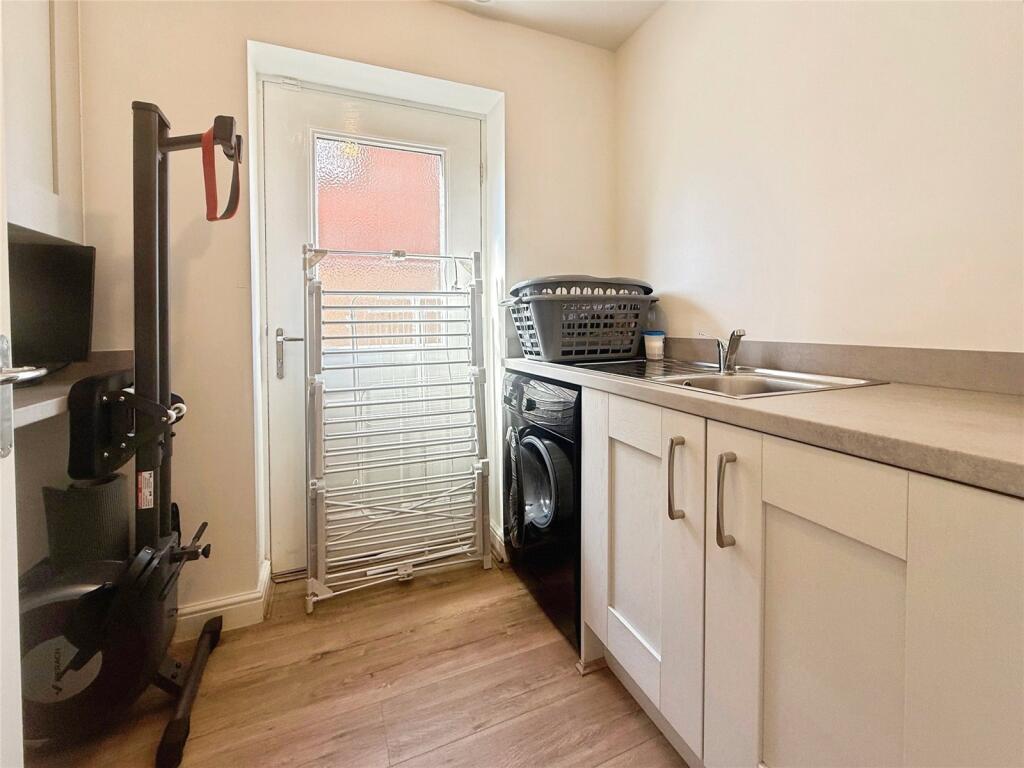
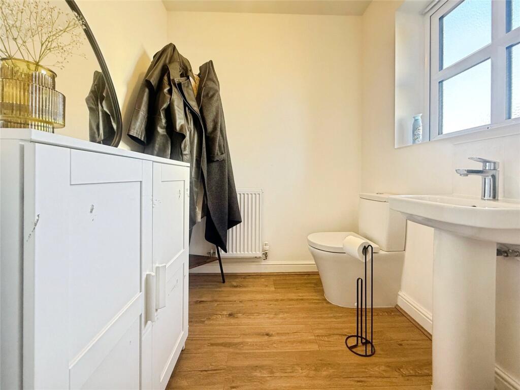
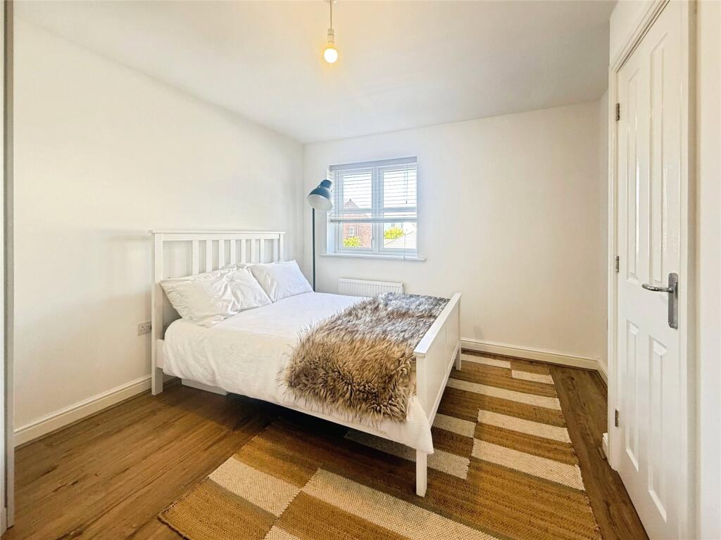
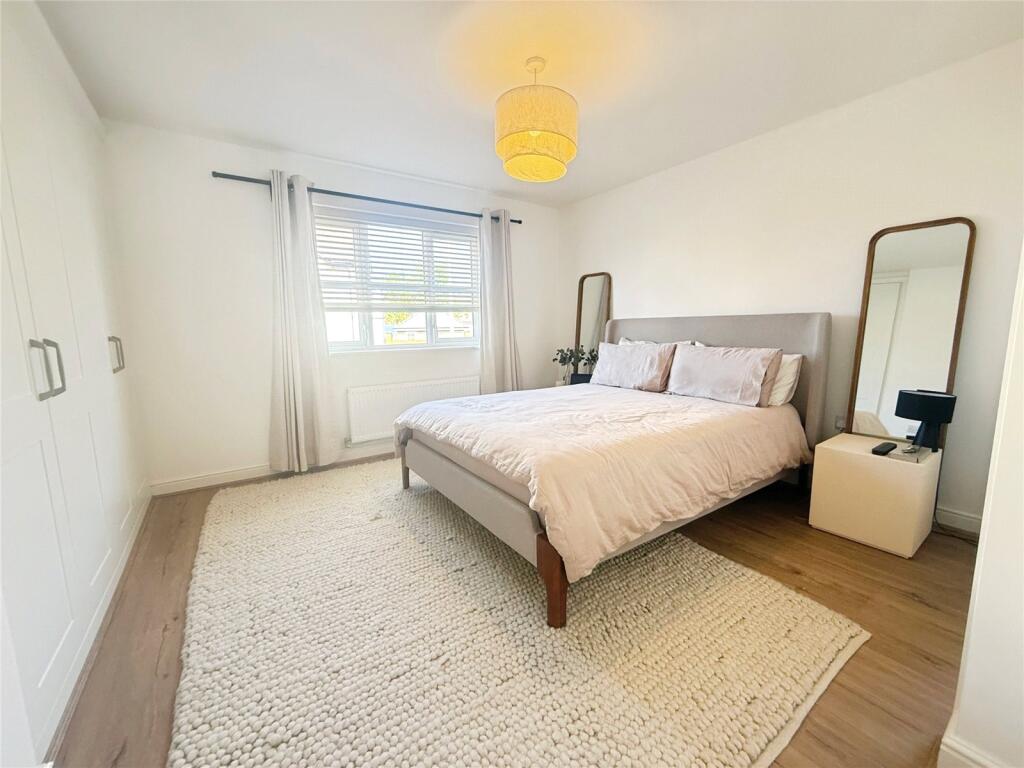
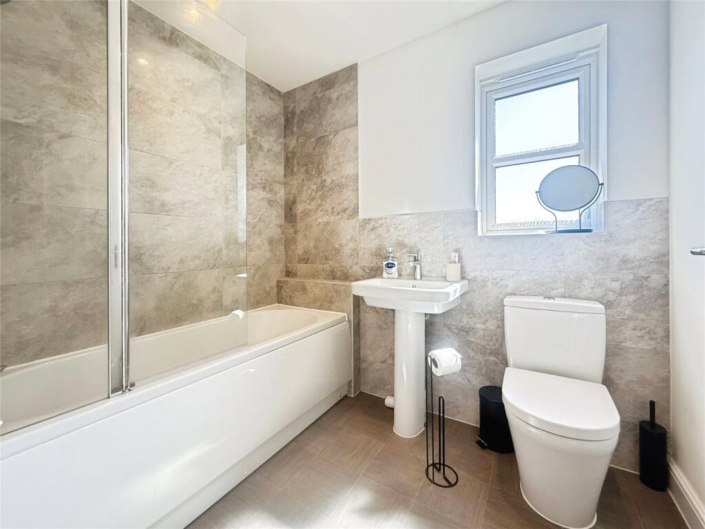
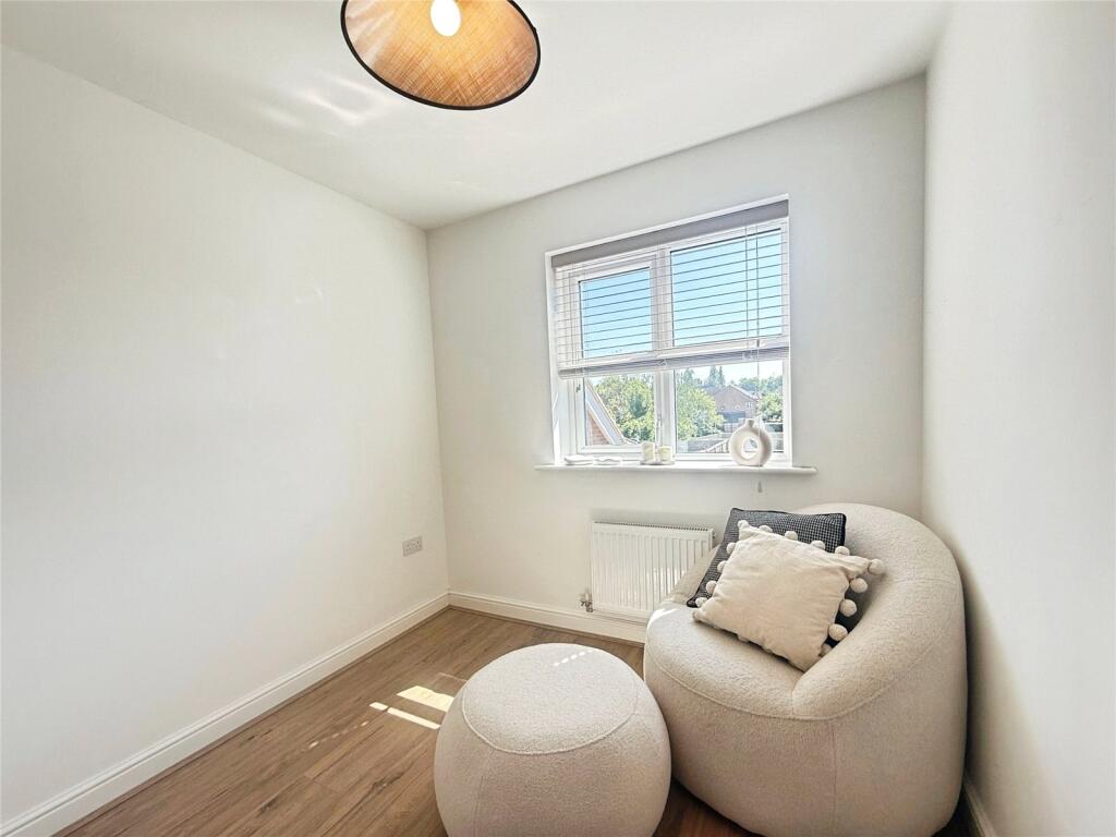
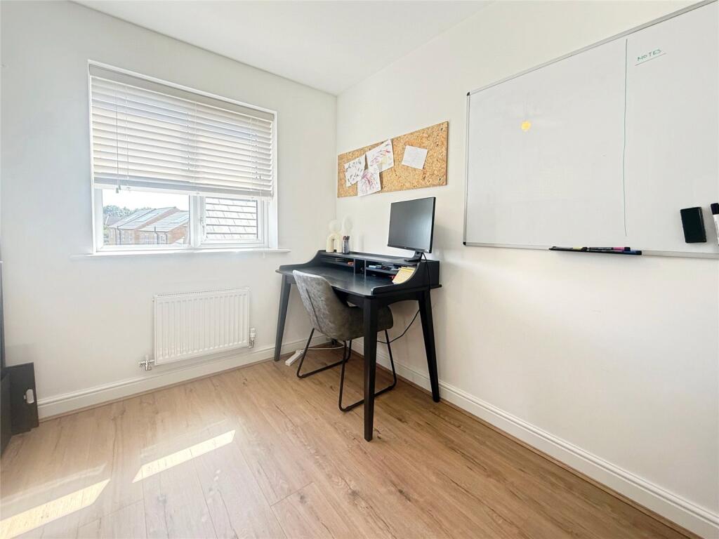
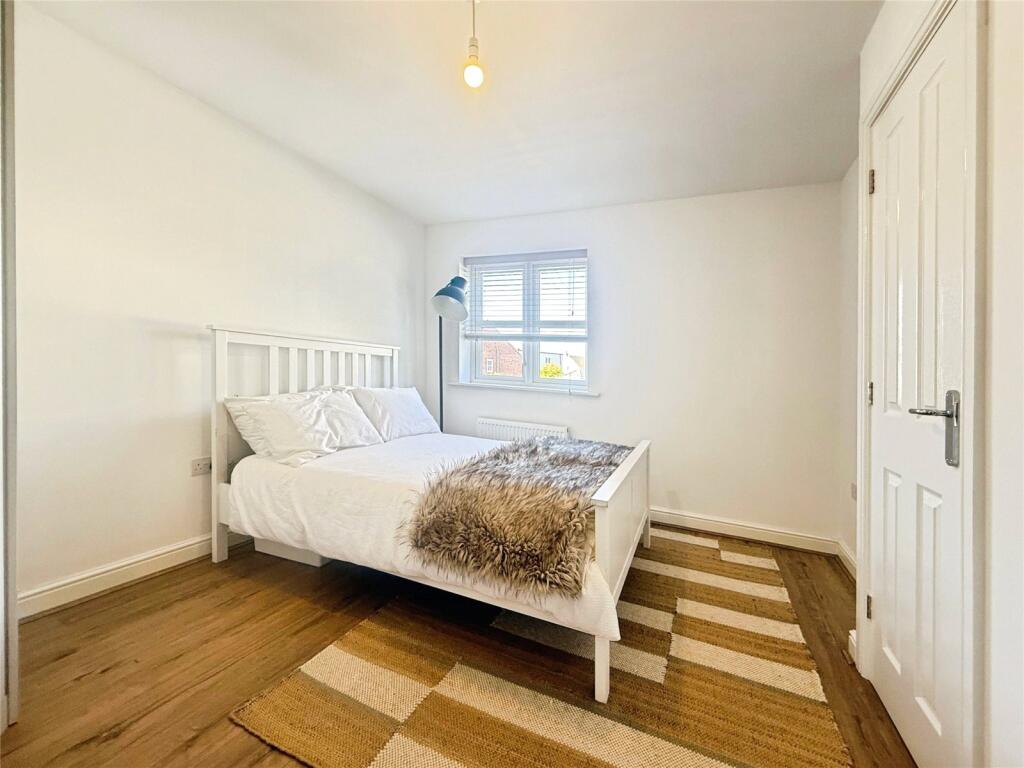
Inside, the house features a spacious open-plan kitchen and dining area with skylights, integrated appliances, and a central island ideal for everyday use and entertaining. The living room is bright and welcoming with clean, neutral décor and quality flooring. There are four good-sized bedrooms, including a master with fitted wardrobes, a contemporary family bathroom, and a separate WC. A utility room provides added convenience.
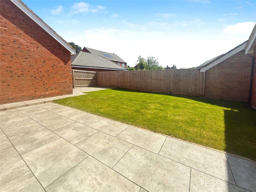
Outside, the private rear garden includes a patio and lawn area, while the front offers a tidy garden and driveway parking. The property benefits from gas central heating, double glazing and a high standard of finish throughout.
Located in a well-connected part of Aylestone, the property is close to schools, shops, green spaces, and transport links. Available now. Early viewing recommended.
Listed by
Leicester
Oliver Rayns
Reference: 161615762
EPC Rating & Upgrade Cost
Fetching EPC data… Refresh this page in a moment.
Flood risk
Zone: 2
Risk: In flood risk area
Environment Agency Flood Risk Areas (APSFR)
Rental Range
Estimated market rent for Leicester. Low = conservative, Realistic = average, Optimistic = best case.
Based on Local Authority from postcode lookup → Leicester.
LHA (30th percentile) floor for Leicester: £1,047/mo (Apr 2025 – Mar 2026)
Location
Nearby
Nearest stations, universities and amenities (distance from property).
| Type | Name | Distance |
|---|---|---|
| Shop | Graham Goode Motors | 0.3 miles |
| Shop | Tesco Express | 0.4 miles |
| Bus stop | Unknown | 0.4 miles |
| Bus stop | Greendale Road | 0.5 miles |
| Train station | South Wigston | 1.6 miles |
| University | University of Leicester | 1.7 miles |
| Hospital | Stewart House | 2.3 miles |
| Train station | Narborough | 2.5 miles |
| Hospital | South Entrance | 3.9 miles |
Street-level crime
| Category | Count |
|---|---|
| Violence and sexual offences | 103 |
| Shoplifting | 53 |
| Anti-social behaviour | 34 |
| Criminal damage and arson | 27 |
| Public order | 20 |
| Other theft | 14 |
| Vehicle crime | 11 |
| Drugs | 10 |
| Other crime | 7 |
| Burglary | 6 |
| Possession of weapons | 2 |
| Bicycle theft | 1 |
| Robbery | 1 |
| Theft from the person | 1 |
| Total incidents | 290 |
Within 1 mile during May 2026. Source: data.police.uk (England & Wales).
Schools nearby
Nearest open schools with Ofsted ratings (England). Closed schools are not shown. Data from Get Information about Schools and Ofsted.
| Name | Type | Distance | Ofsted |
|---|---|---|---|
| Montrose School | Primary | 0.6 miles | — (Inspected (no overall grade)) |
| Eyres Monsell Primary School | Primary | 0.7 miles | Good — 18 Jun 2018 |
| Granby Primary School | Primary | 0.7 miles | Good — 6 Jul 2023 |
| Glen Hills Primary School | Primary | 0.9 miles | Good — 28 Oct 2018 |
| Ellesmere College | Other | 0.9 miles | Good — 8 Jun 2017 |
Rental Comparables
Rental comparables are temporarily unavailable while listing-site fetches are paused. Try again later.