FLAT 1
37 - 38, HAVEN GREEN, LONDON, GREATER LONDON W5 2NX
£2,197 pcm
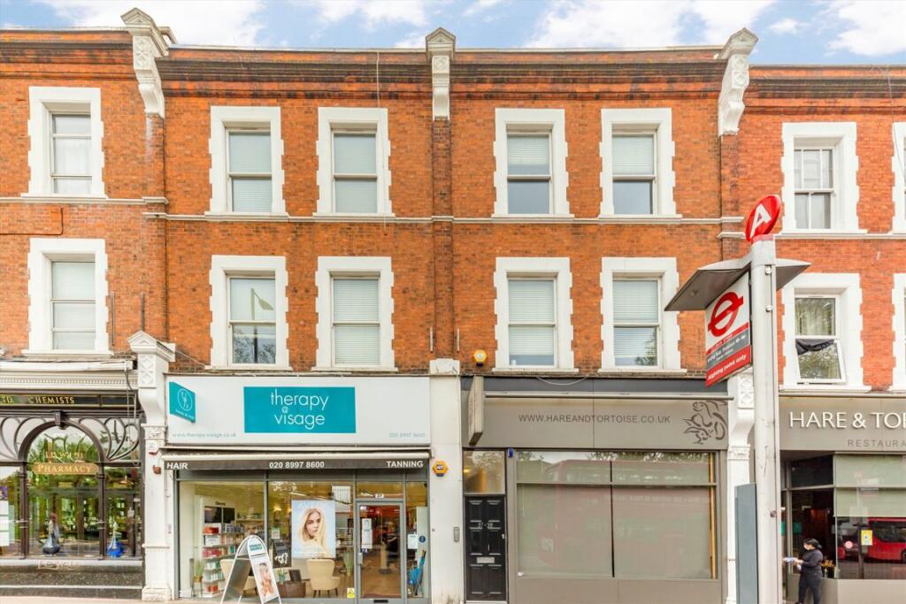
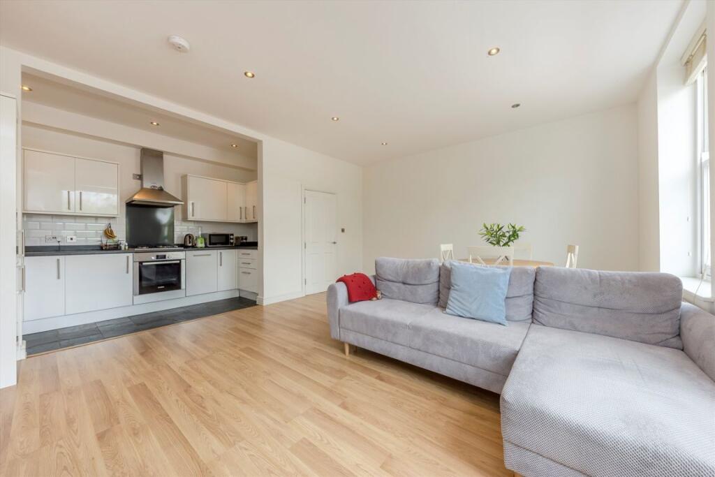
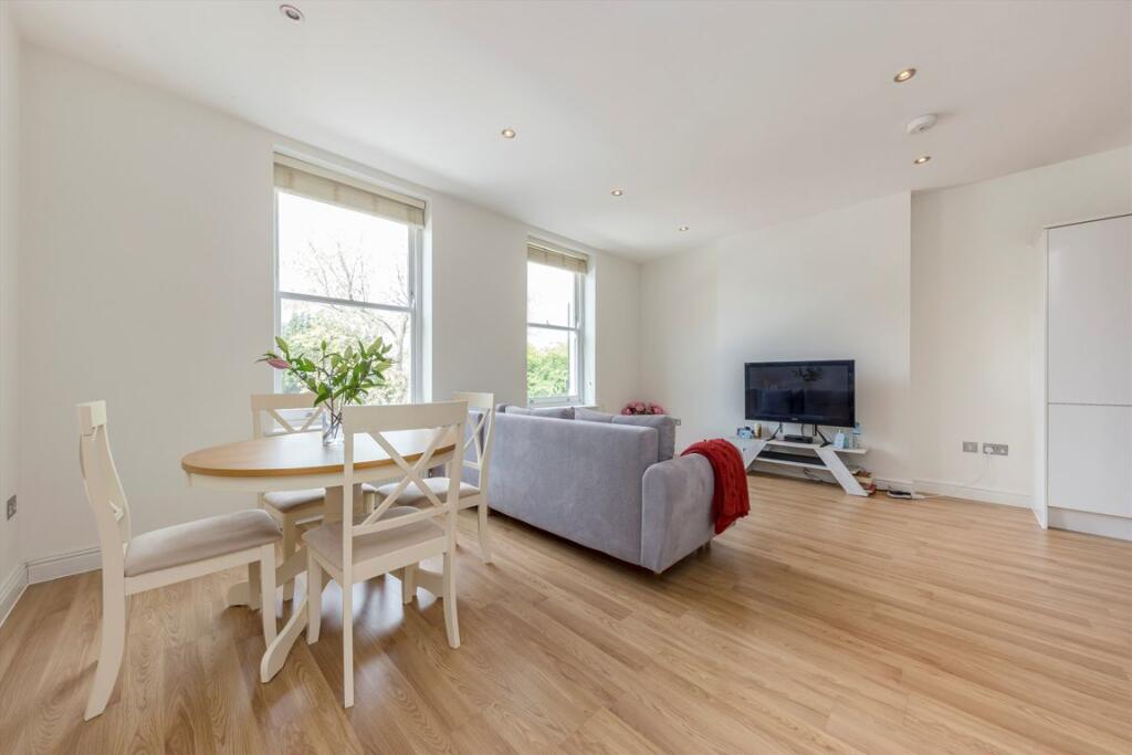
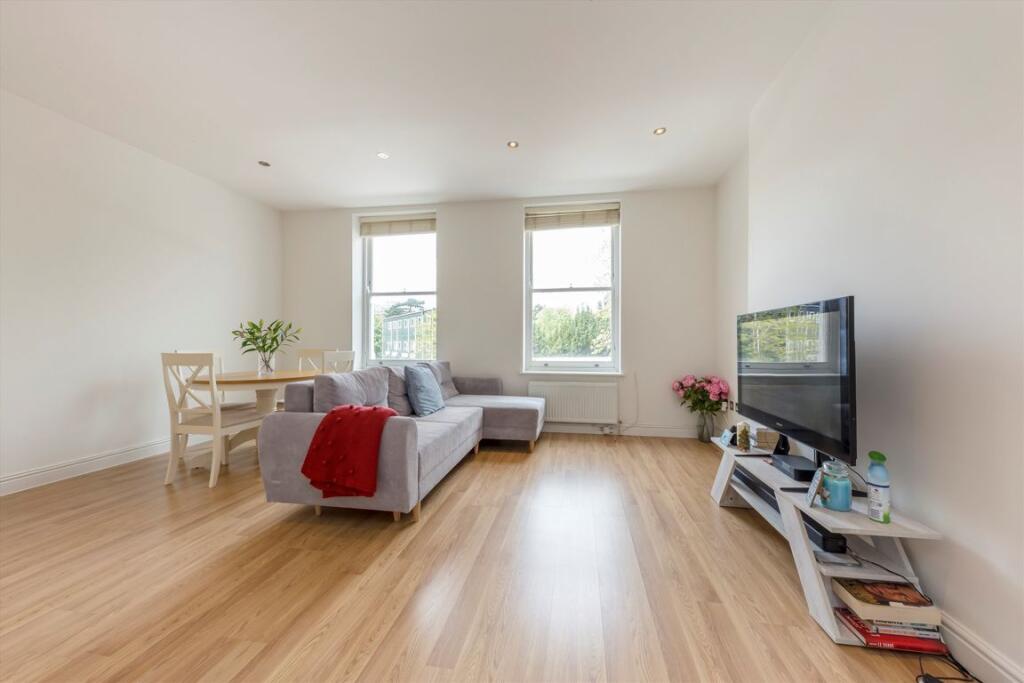
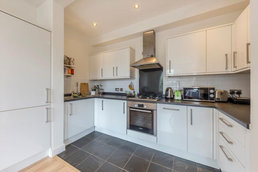
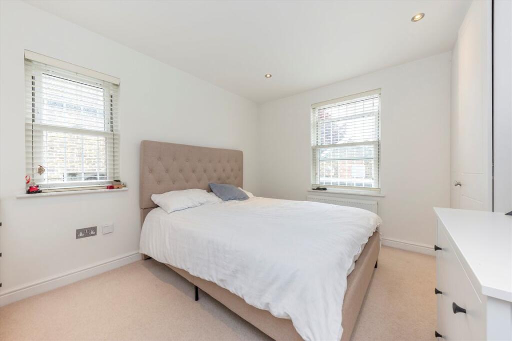
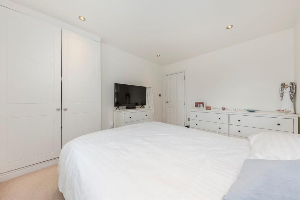
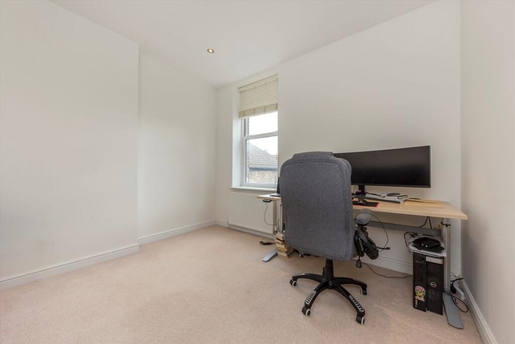
Photo 1 Photo 2 Photo 3 Photo 4 Photo 5 Photo 6 Photo 7 Photo 8
/ 8
Property details
Floor area
67 m²
Year built
England and Wales: 1900-1929
Deprivation
Decile 4 (13,493 of 33,755)
Street crime
604 incidents within 1 mile (Apr 2026)
Key features
- Two Bedrooms
- One Bathroom
- First Floor
- Moment Away from the Tube
- Open Plan Kitchen/Living
- Ample Storage
Description
Haven Green is moments from Ealing Broadway station (District Line, Central Line & Elizabeth Line) and conveniently positioned to all shops, bars and restaurants of the Broadway.
Security Deposit: £2,535
Council Tax Band: D
Information contained within this listing is for guidance only and should be checked and confirmed (prior to proceeding).
Listed by
Ealing
Dexters
Reference: 171536147
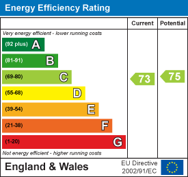
EPC Rating & Upgrade Cost
Fetching EPC data… Refresh this page in a moment.
Flood risk
Zone: 1
Risk: Low
Job (default Low)
Floorplans
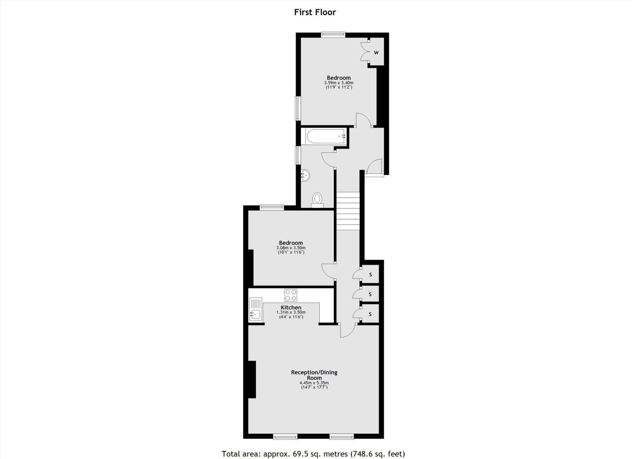
Floorplan 1
EPC Graphs
EPC 1
Rental Range
Estimated market rent for Ealing. Low = conservative, Realistic = average, Optimistic = best case.
Based on Local Authority from postcode lookup → Ealing.
LHA (30th percentile) floor for Inner West London: £1,621/mo (Apr 2025 – Mar 2026)
Location
Nearby
Nearest stations, universities and amenities (distance from property).
| Type | Name | Distance |
|---|---|---|
| Shop | Therapy@Visage | 0.0 miles |
| Bus stop | Ealing Broadway Station / Haven Green | 0.0 miles |
| Shop | Phone & Vape Corner | 0.0 miles |
| Bus stop | Ealing Broadway Station | 0.0 miles |
| Train station | Ealing Broadway | 0.1 miles |
| University | University of West London - Hellenic Institute Of Maritime Studies | 0.4 miles |
| University | University of West London | 0.4 miles |
| Train station | North Ealing | 0.6 miles |
| Hospital | Hounslow Medical Centre | 4.6 miles |
| Hospital | Bridge Lane Health Centre | 6.5 miles |
Street-level crime
| Category | Count |
|---|---|
| Anti-social behaviour | 189 |
| Violence and sexual offences | 116 |
| Vehicle crime | 64 |
| Public order | 47 |
| Shoplifting | 41 |
| Criminal damage and arson | 28 |
| Other theft | 28 |
| Theft from the person | 23 |
| Burglary | 22 |
| Drugs | 14 |
| Bicycle theft | 9 |
| Robbery | 9 |
| Possession of weapons | 8 |
| Other crime | 6 |
| Total incidents | 604 |
Within 1 mile during Apr 2026. Source: data.police.uk (England & Wales).
Schools nearby
Nearest open schools with Ofsted ratings (England). Closed schools are not shown. Data from Get Information about Schools and Ofsted.
| Name | Type | Distance | Ofsted |
|---|---|---|---|
| La Chouette School | Other | 0.1 miles | Good — 1 Feb 2023 |
| Christ the Saviour Church of England Primary School | Primary | 0.2 miles | Good — 13 Mar 2024 |
| Durston House School | Other | 0.2 miles | — (No rating) |
| Blooming Tree Primary School | Other | 0.3 miles | Outstanding — 27 Jul 2022 |
| Ealing Independent College | Other | 0.4 miles | — (No rating) |
Rental Comparables
Residential lets from OpenRent and Rightmove for the area (same bedroom count). Use to validate rent estimates. Student lets are excluded.
| Title | Rent | Beds | Distance | As seen on |
|---|---|---|---|---|
| 2 Bed Flat, Dickens Yard Area, W5 | £3,250/mo | 2 | 0.21 miles | OpenRent |
| 2 Bed Flat, The Mall, W5 | £2,500/mo | 2 | 0.25 miles | OpenRent |
| 2 Bed Flat, Harriers Close, W5 | £2,200/mo | 2 | 0.28 miles | OpenRent |
Average rent: £2,650/mo (3 listings)