ST5 8PP
ST5 8PP
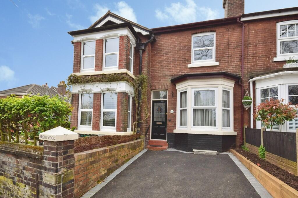
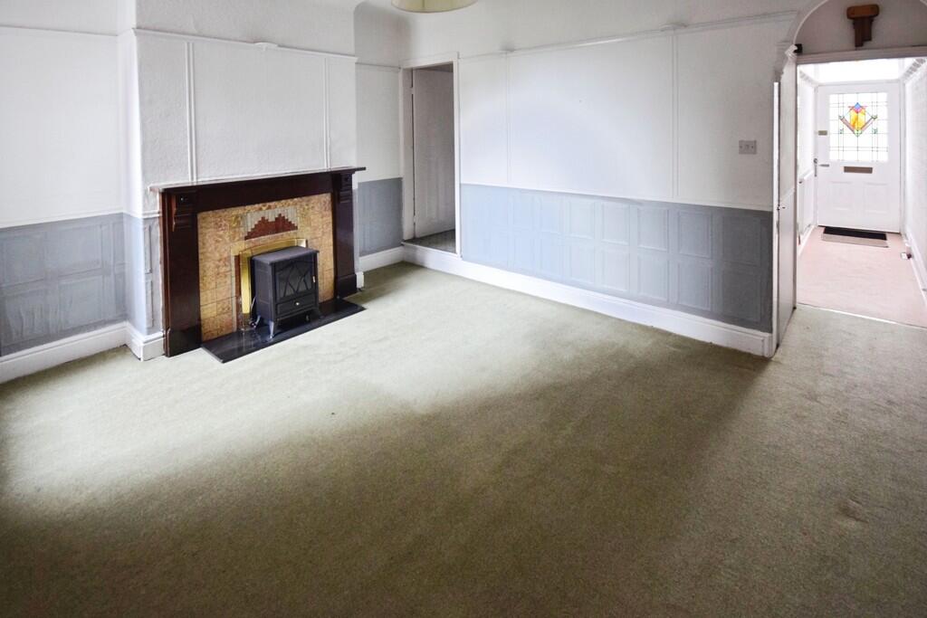
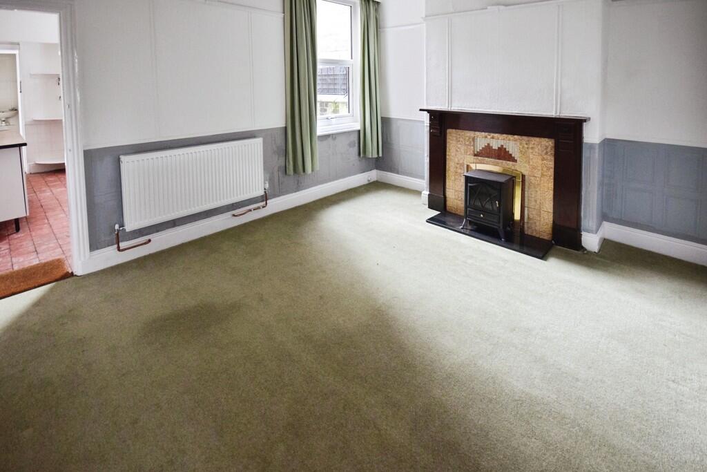
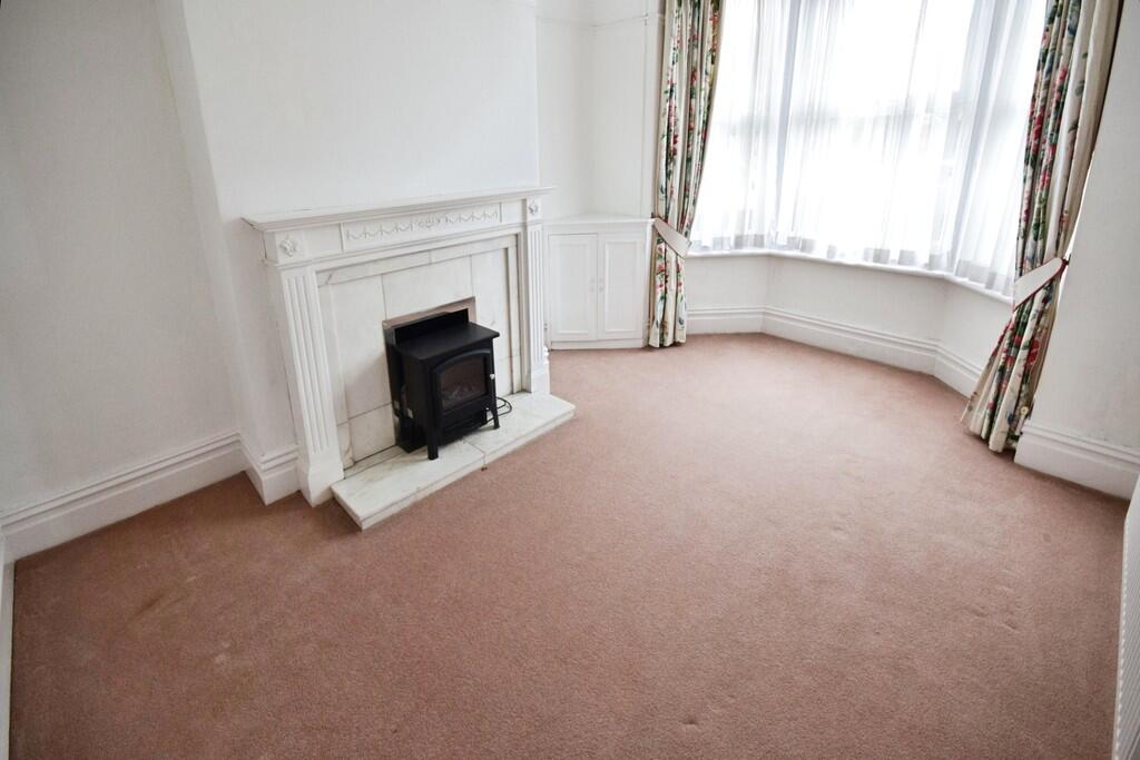
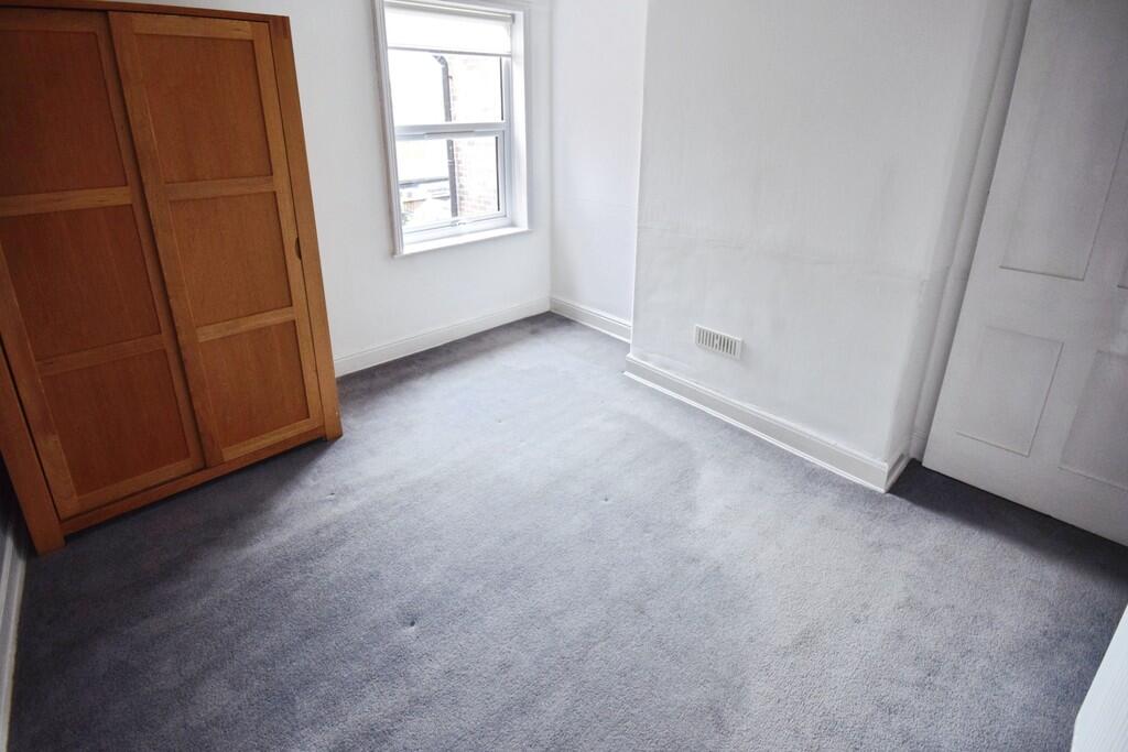
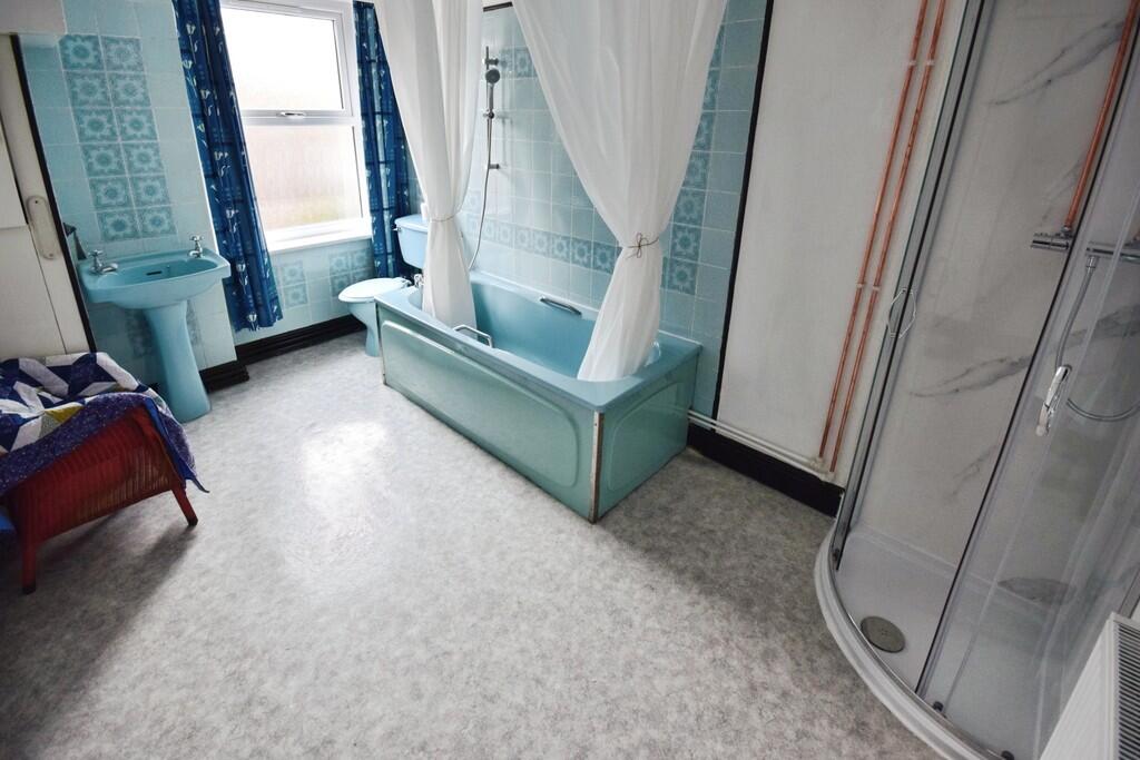
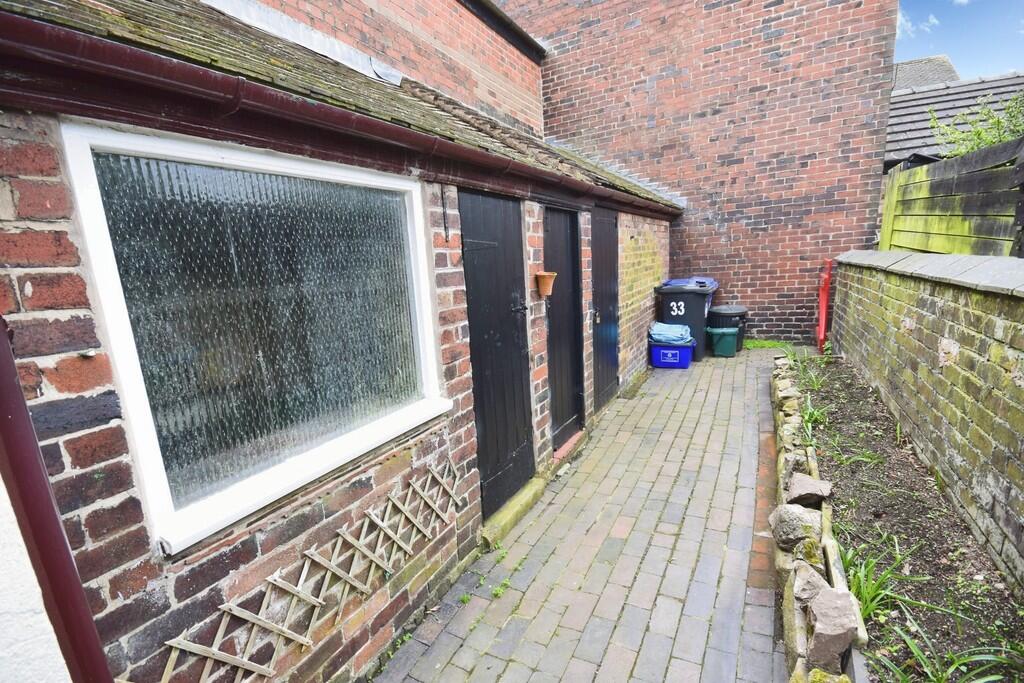
Photo 1 Photo 2 Photo 3 Photo 4 Photo 5 Photo 6 Photo 7 Photo 8 Photo 9 Photo 10 Photo 11
/ 11
Property details
Floor area
92 m²
Council tax band
B
Deprivation
Decile 5 (16,808 of 33,755)
EPC Rating & Upgrade Cost
Fetching EPC data… Refresh this page in a moment.
Flood risk
Zone: 1
Risk: Low
Not in Flood Risk Area (no data)
EPC Graphs
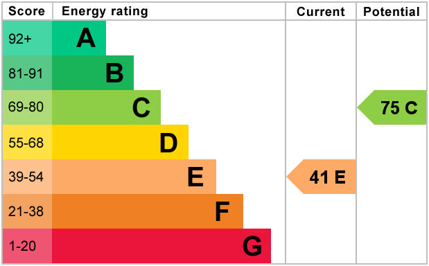
EPC 1
Rental Range
Estimated market rent for Newcastle-under-Lyme. Low = conservative, Realistic = average, Optimistic = best case.
Based on Local Authority from postcode lookup → Newcastle-under-Lyme.
LHA (30th percentile) floor for Staffordshire North: £479/mo (Apr 2025 – Mar 2026)
Location
Nearby
Nearest stations, universities and amenities (distance from property).
| Type | Name | Distance |
|---|---|---|
| Bus stop | Queen Street | 0.0 miles |
| Shop | Unknown | 0.1 miles |
| Shop | The co-operative food | 0.4 miles |
| Train station | Longport | 0.5 miles |
| Hospital | Bradwell Hospital | 0.6 miles |
| Hospital | St Augustine's Hospital | 1.6 miles |
| Train station | Apedale Road | 1.7 miles |
| University | University of Staffordshire Stoke Campus | 2.7 miles |
Street-level crime
Crime data is not yet available for this property.
Rental Comparables
Residential lets from OpenRent and Rightmove for the area (same bedroom count). Use to validate rent estimates. Student lets are excluded.
Average rent: £865/mo (51 listings)