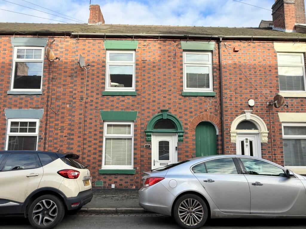
17 ORCHARD STREET
NEWCASTLE, STAFFORDSHIRE ST5 0BH
£875 pcm

Property details
Floor area
70 m²
Council tax band
A
Deprivation
Decile 6 (17,214 of 33,755)
Street crime
196 incidents within 1 mile (Apr 2026)
Additional details
- Electricity
- Mains supply
- Water
- Mains supply
- Sewerage
- Mains supply
- Heating
- Gas central
- Parking
- On street
- Garden
- Yes
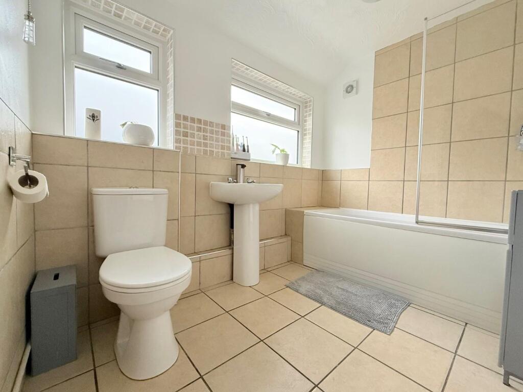
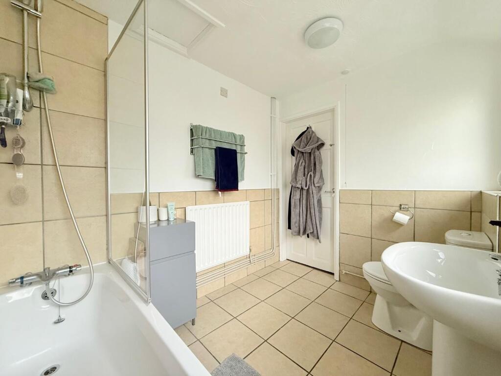
Description
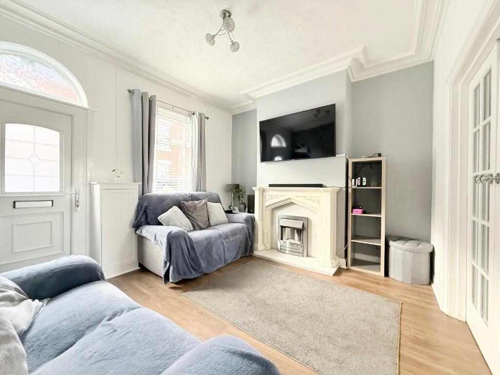
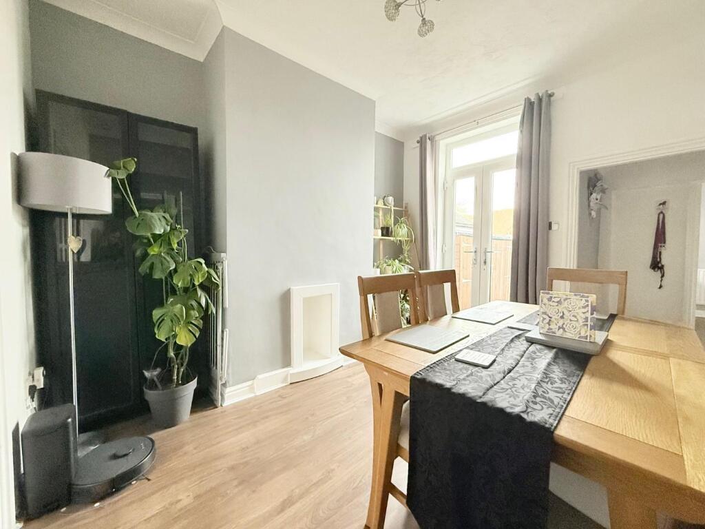
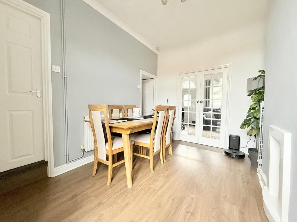
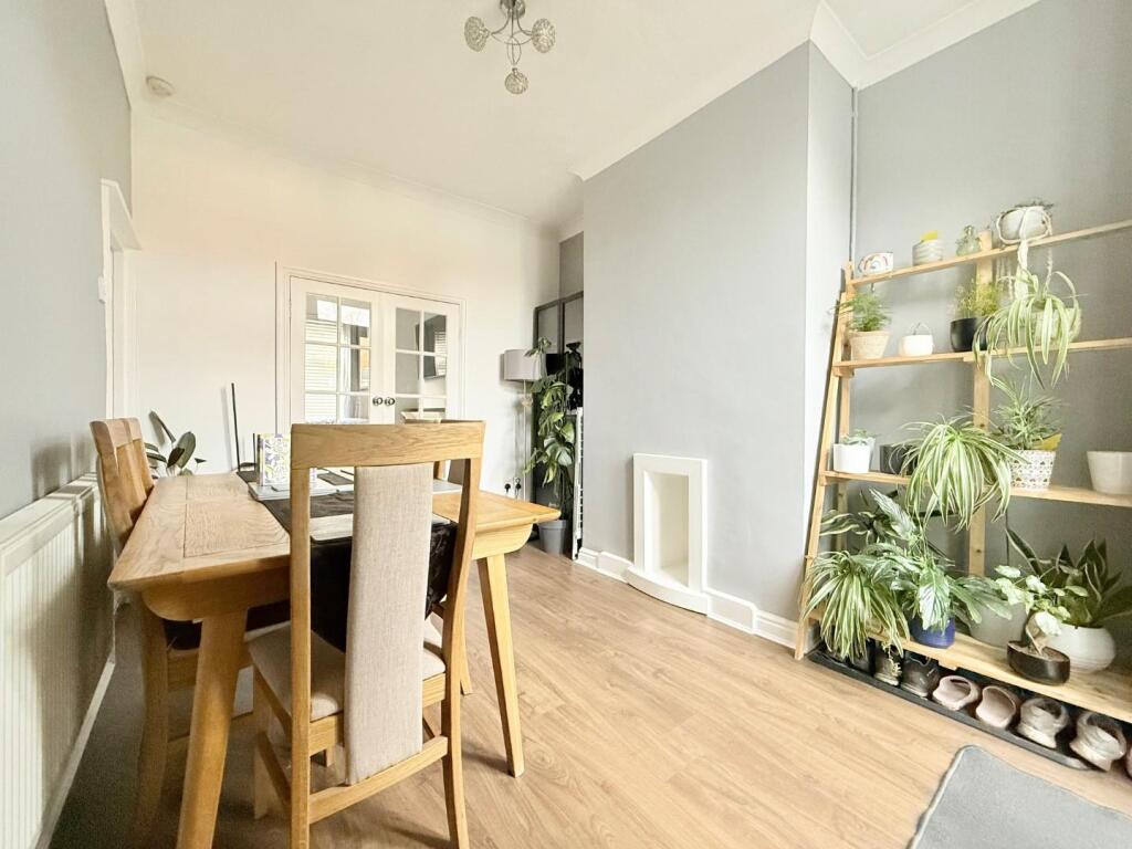
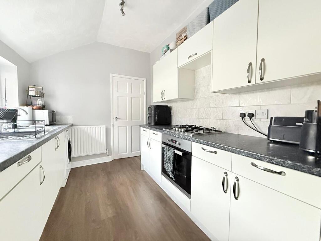
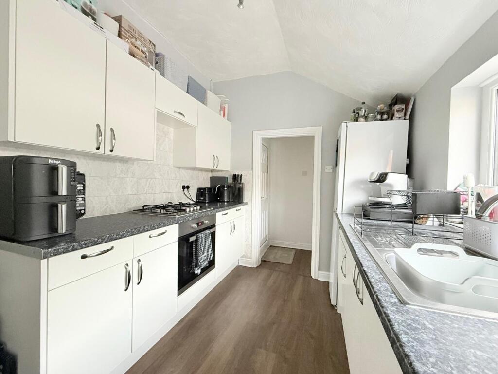
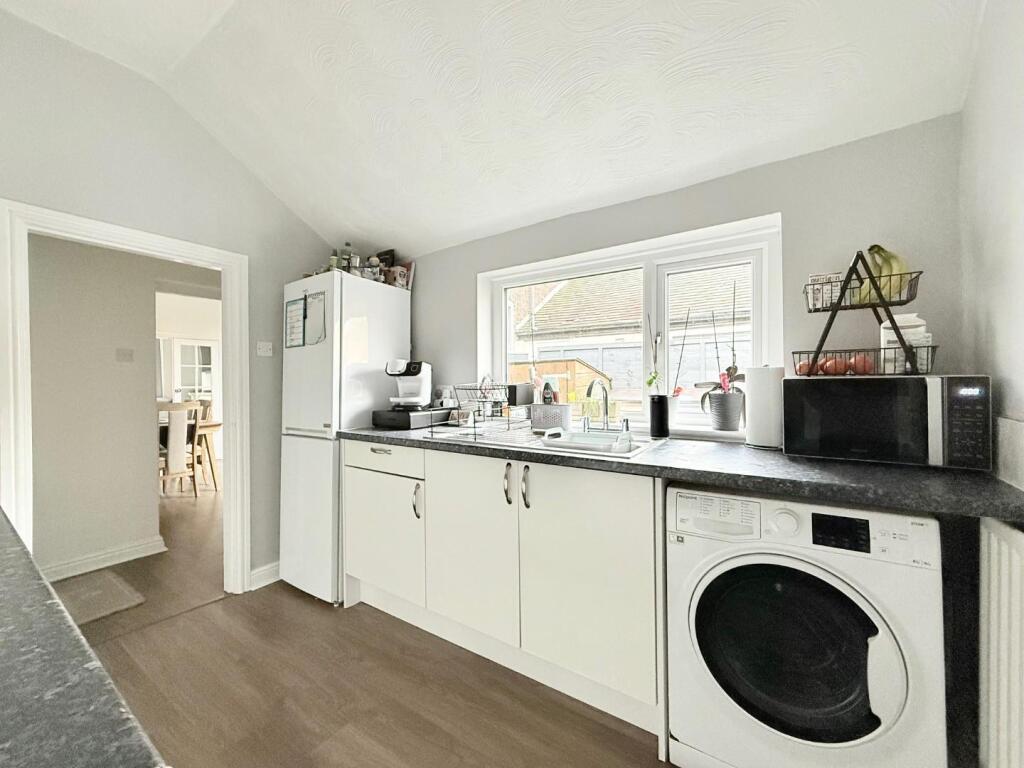
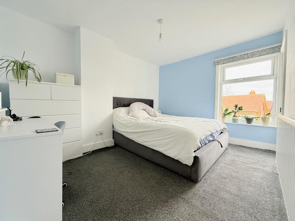
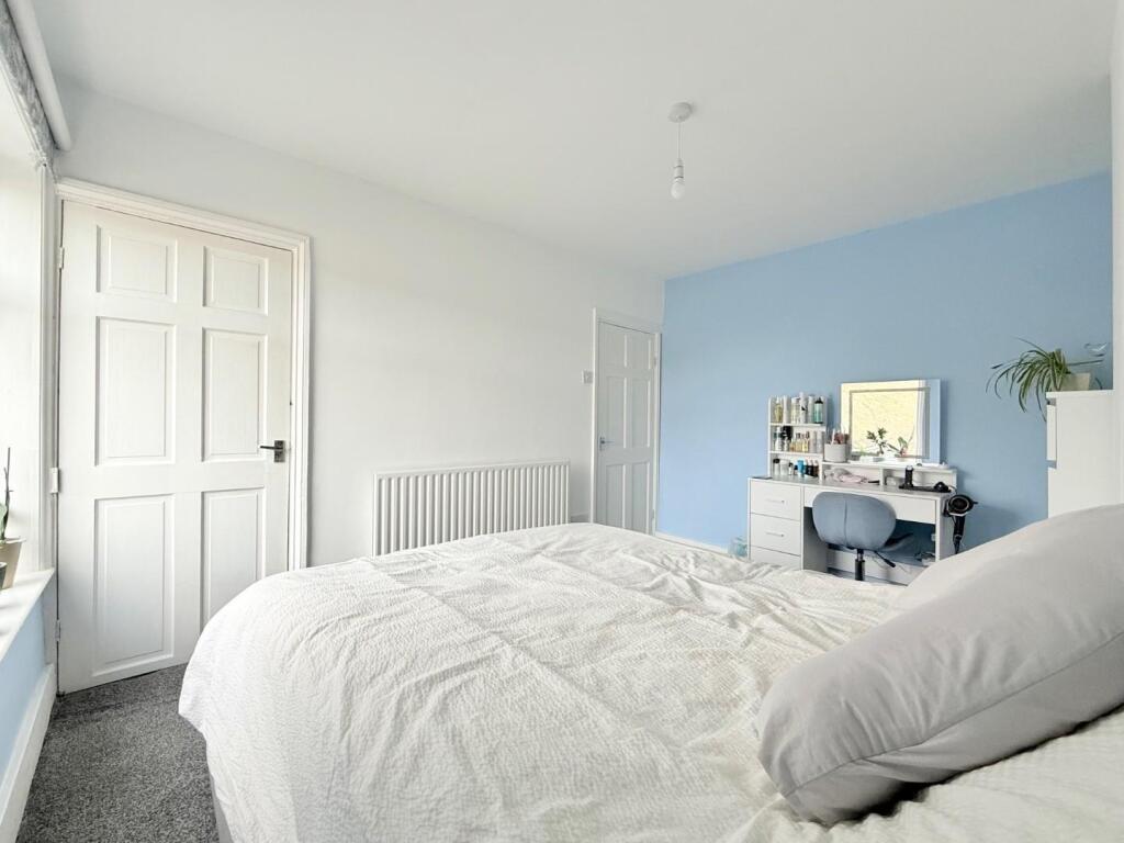
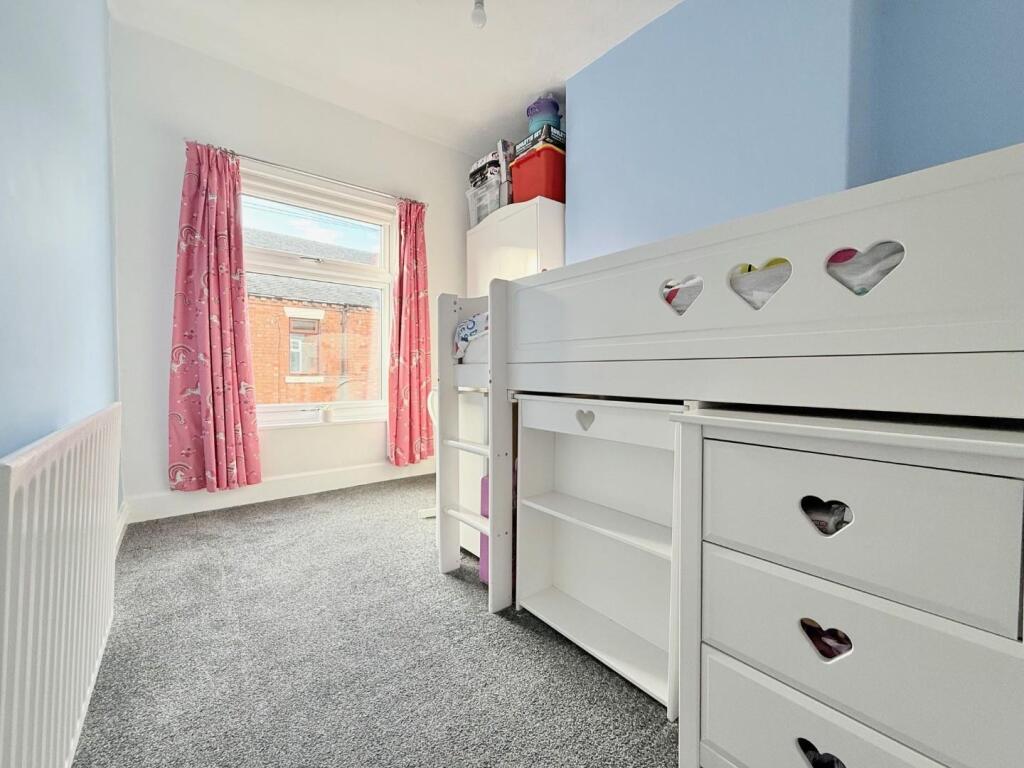
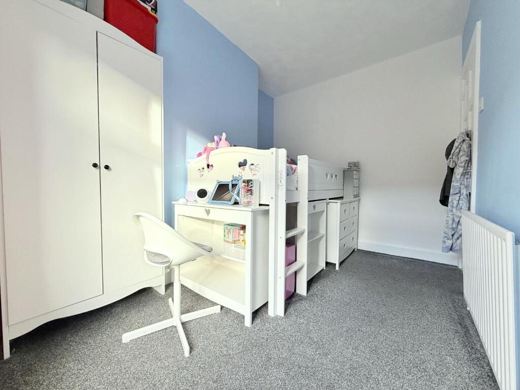
The property comprises of living room with fireplace & electric fire, dining room with patio doors leading to rear garden, contemporary fitted kitchen with gas hob, electric oven & under-counter plumbing point, a modern bathroom with shower over bath. The first floor offers main bedroom and two further good size bedrooms. The property benefits from uPVC double glazing & gas central heating throughout.
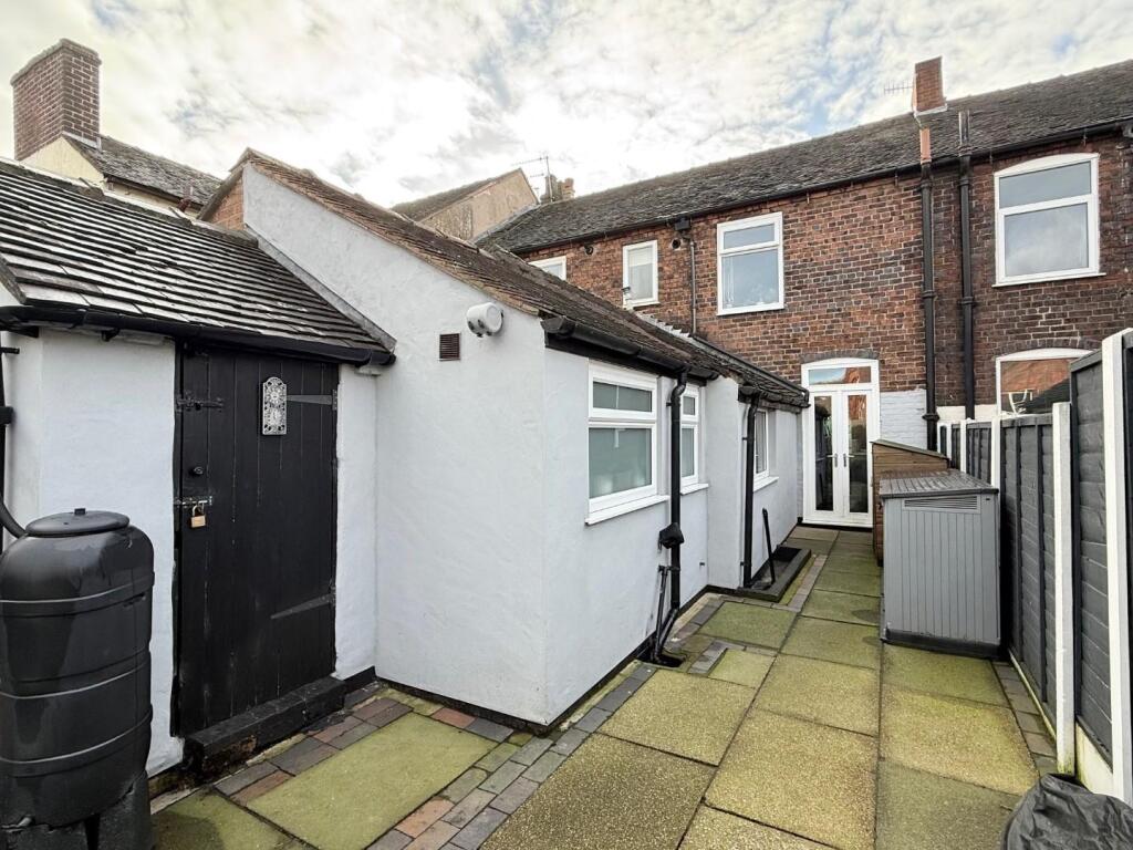
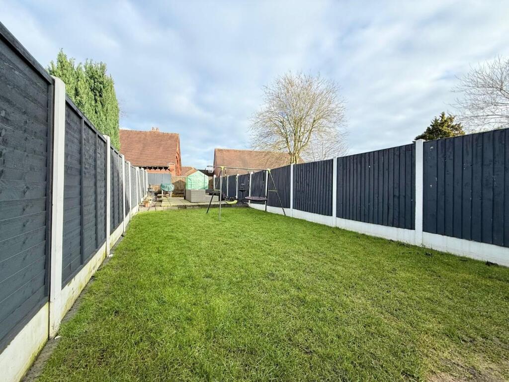
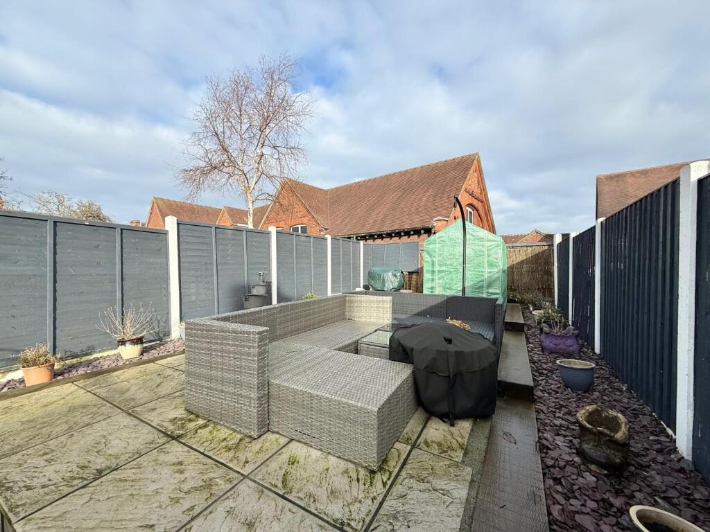
Exterior: roadside parking to the front of property and enclosed garden mainly laid to lawn with patio seating area to the rear.
Rent excludes all utilities and is Council Tax Band A
Listed by
Nantwich
Wright Lettings and Management
Reference: 172451753
EPC Rating & Upgrade Cost
Fetching EPC data… Refresh this page in a moment.
Flood risk
Zone: 1
Risk: Low
Job (default Low)
EPC Graphs
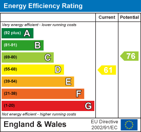
EE Rating
FENSA Certificates
This property has 1 FENSA certificate(s) on record, indicating window/door installations by FENSA-approved installers.
FENSA Certificate #574073
Property Details
Street: 17 Orchard Street
Town: NEWCASTLE
Postcode: ST5 0BH
Installation Details
Items: 1 door
Certificate Issued: 26/08/2003
Work Completed: 28/02/2003
This certificate data was retrieved from FENSA's database
What is FENSA? FENSA (Fenestration Self-Assessment Scheme) is a government-authorised scheme that monitors building regulation compliance for replacement windows and doors. Certificates indicate that work was completed by FENSA-approved installers.
Rental Range
Estimated market rent for Newcastle-under-Lyme. Low = conservative, Realistic = average, Optimistic = best case.
Based on Local Authority from postcode lookup → Newcastle-under-Lyme.
LHA (30th percentile) floor for Staffordshire North: £593/mo (Apr 2025 – Mar 2026)
Location
Nearby
Nearest stations, universities and amenities (distance from property).
| Type | Name | Distance |
|---|---|---|
| Shop | Coral | 0.1 miles |
| Shop | Asda | 0.1 miles |
| Bus stop | Morris Square | 0.1 miles |
| Bus stop | Marsh Avenue | 0.1 miles |
| Train station | Longport | 0.7 miles |
| Hospital | Bradwell Hospital | 1.0 miles |
| Hospital | St Augustines Hospital | 1.2 miles |
| Train station | Silverdale | 2.0 miles |
| University | University of Staffordshire Stoke Campus | 2.2 miles |
Street-level crime
| Category | Count |
|---|---|
| Violence and sexual offences | 59 |
| Anti-social behaviour | 53 |
| Public order | 19 |
| Criminal damage and arson | 15 |
| Burglary | 11 |
| Shoplifting | 11 |
| Vehicle crime | 11 |
| Other theft | 9 |
| Other crime | 6 |
| Possession of weapons | 1 |
| Robbery | 1 |
| Total incidents | 196 |
Within 1 mile during Apr 2026. Source: data.police.uk (England & Wales).
Schools nearby
Nearest open schools with Ofsted ratings (England). Closed schools are not shown. Data from Get Information about Schools and Ofsted.
| Name | Type | Distance | Ofsted |
|---|---|---|---|
| Ellison Primary Academy | Primary | 0.0 miles | Good — 14 Sep 2023 |
| Cedars - Newcastle, Moorlands and Darwin Bases | Other | 0.2 miles | Good — 26 Jun 2015 |
| St Margaret's CofE (VC) Junior School | Primary | 0.3 miles | Good — 1 May 2014 |
| Oaklands Nursery School | Nursery | 0.3 miles | Outstanding — 15 Feb 2013 |
| St Wulstan's Catholic Primary School | Primary | 0.3 miles | Good — 19 Jul 2013 |
Rental Comparables
Residential lets from OpenRent and Rightmove for the area (same bedroom count). Use to validate rent estimates. Student lets are excluded.
Average rent: £933/mo (34 listings)