84 MARY ROSE SQUARE
LONDON, GREATER LONDON SE16 7EL
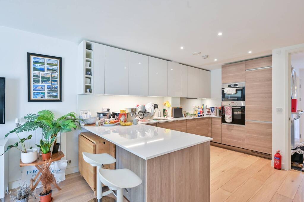
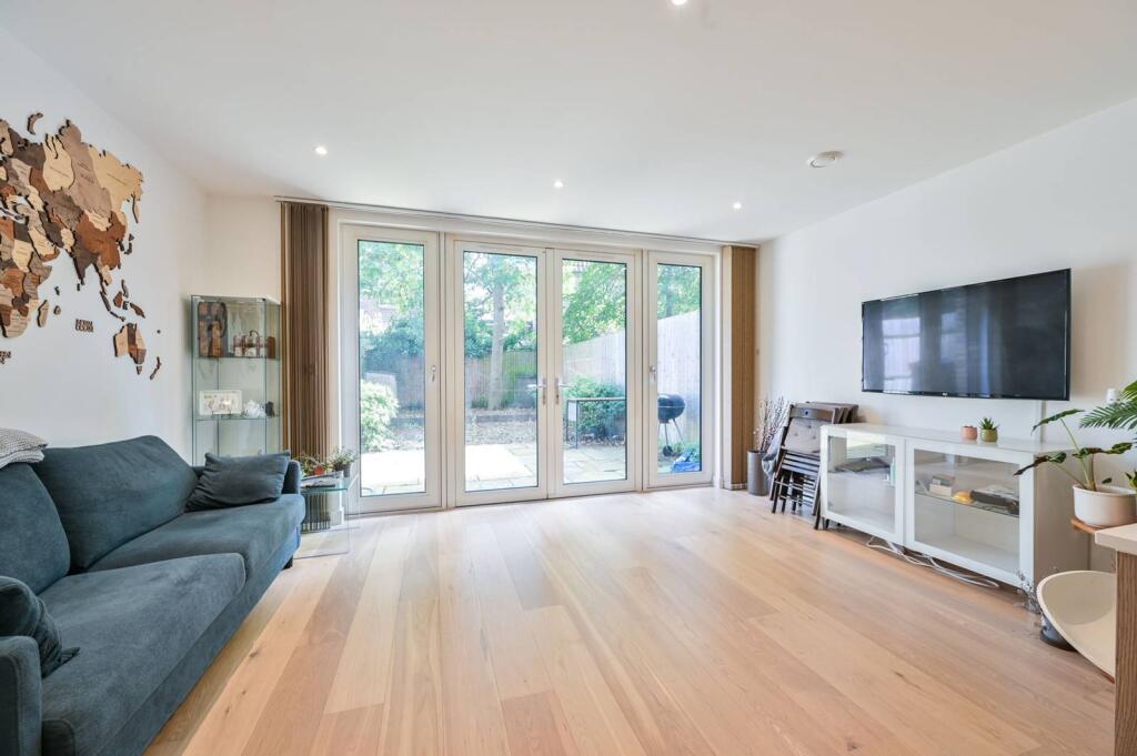
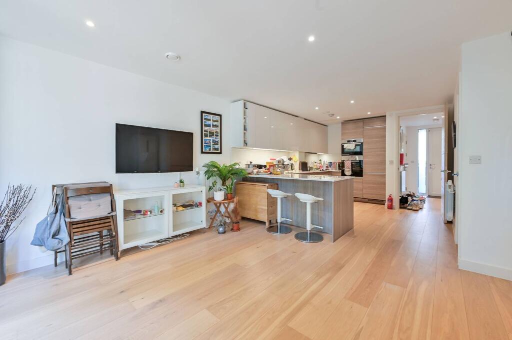
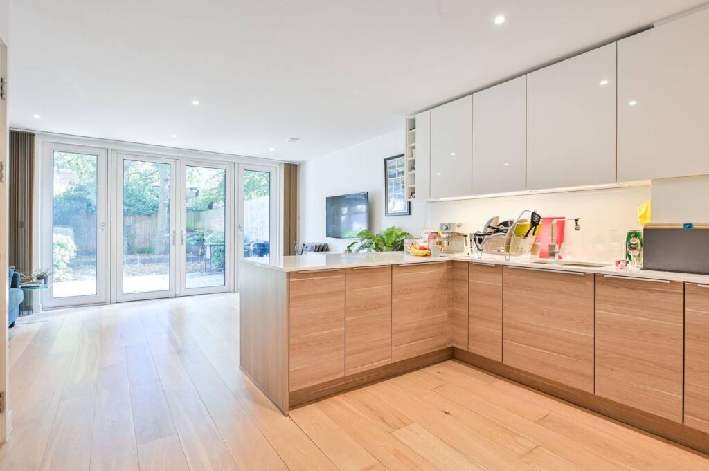
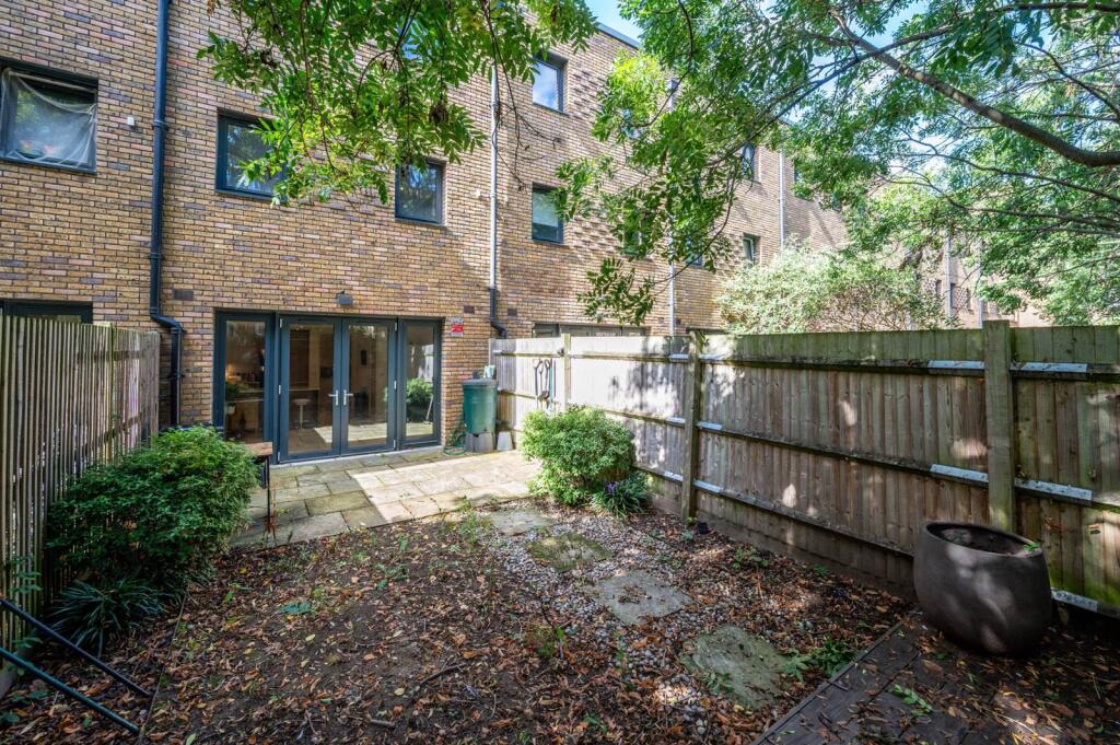
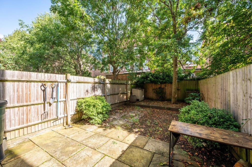
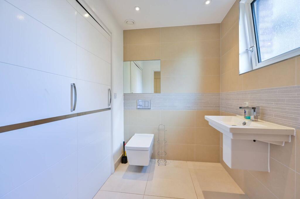
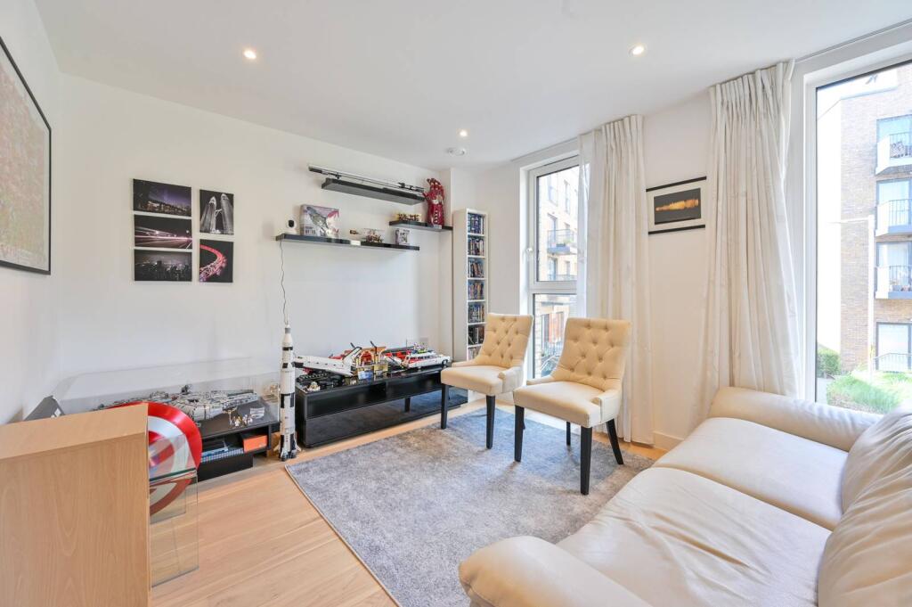
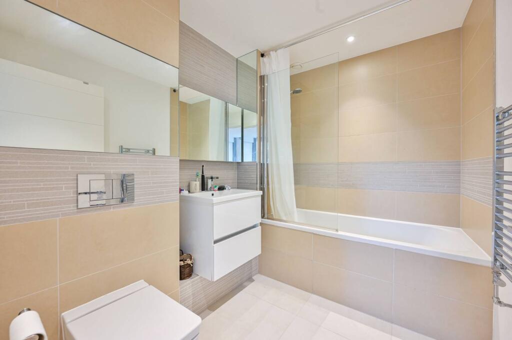
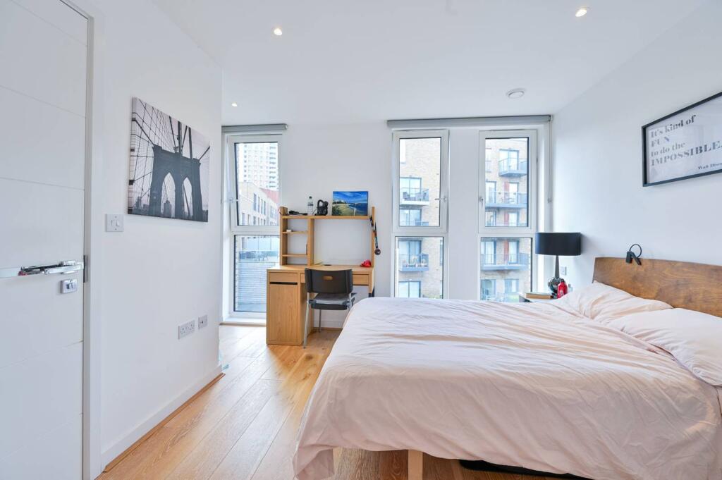
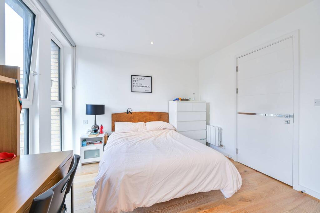
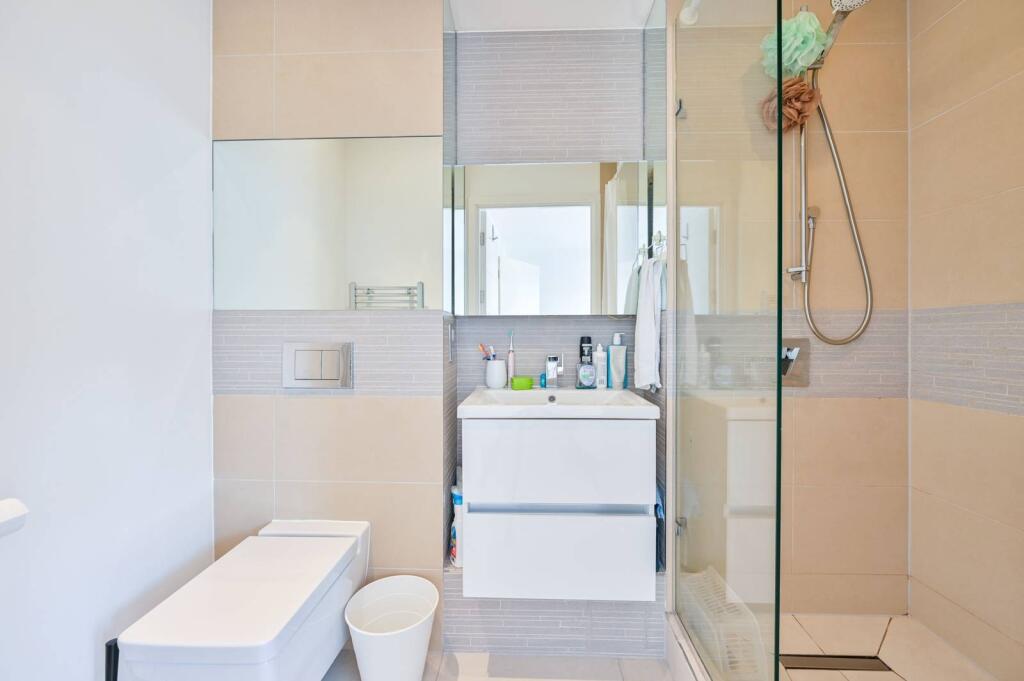
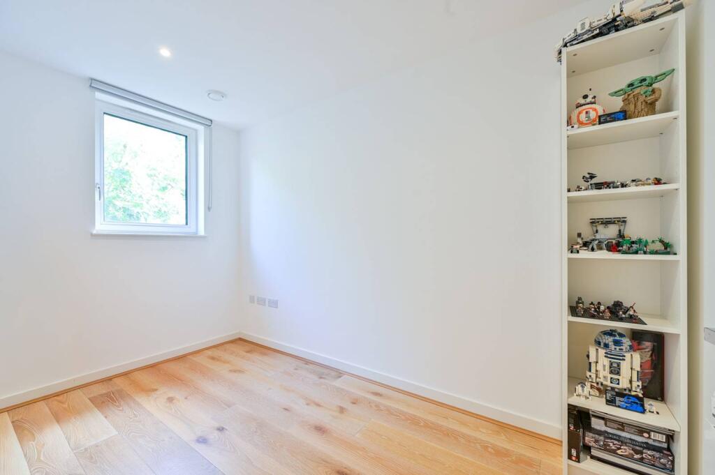
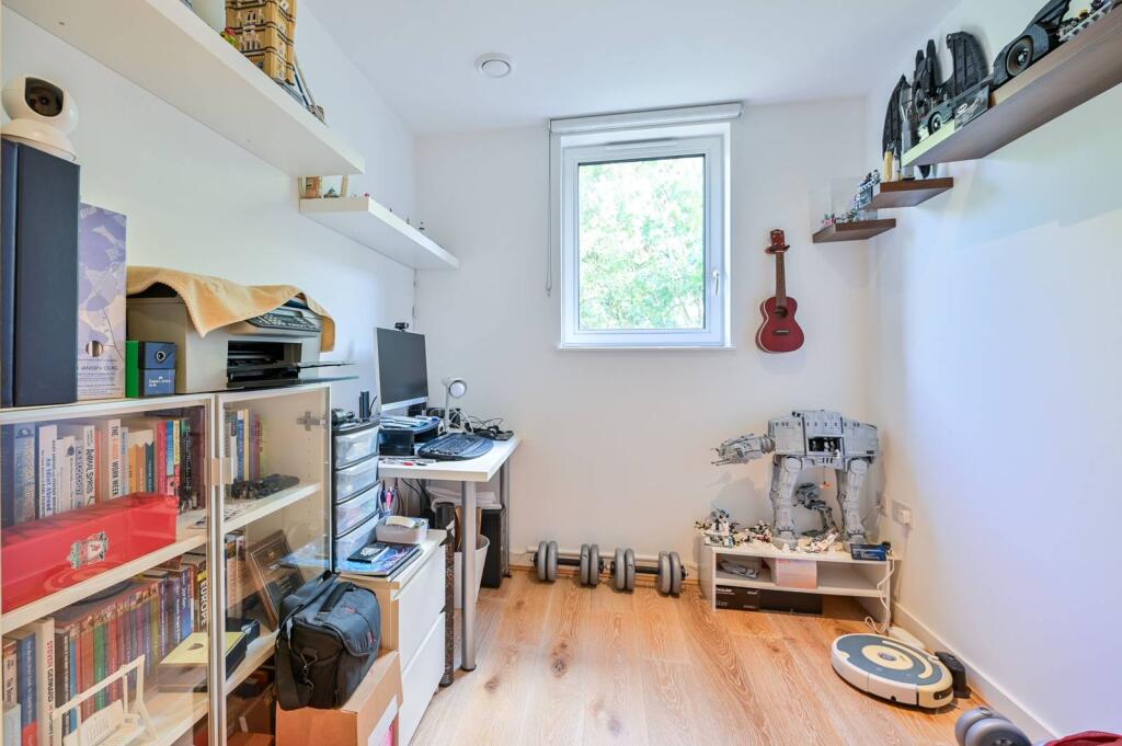
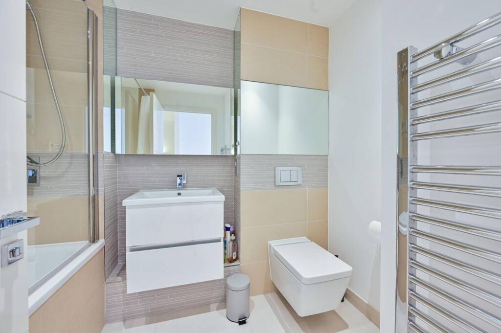
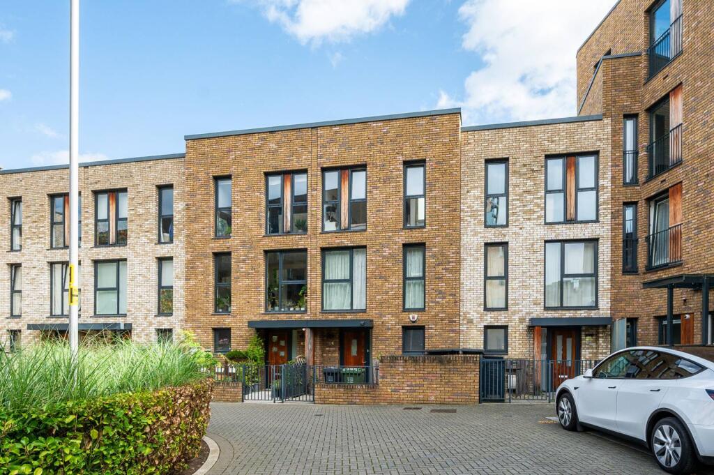
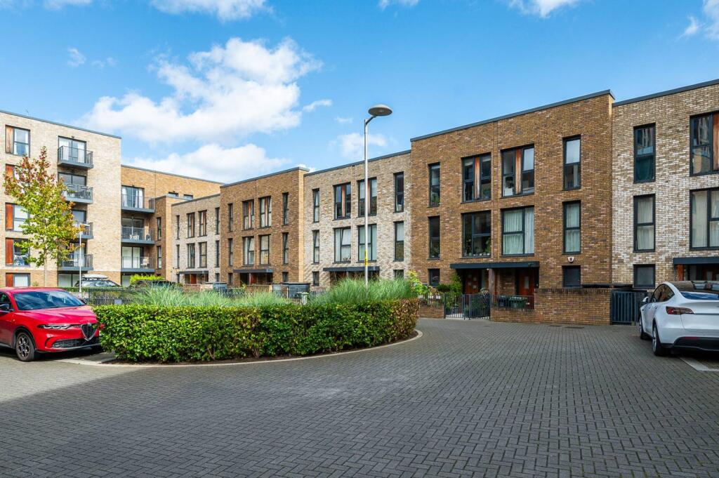
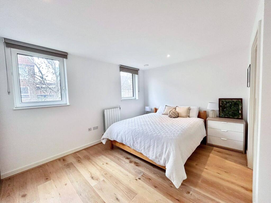
Photo 1 Photo 2 Photo 3 Photo 4 Photo 5 Photo 6 Photo 7 Photo 8 Photo 9 Photo 10 Photo 11 Photo 12 Photo 13 Photo 14 Photo 15 Photo 16 Photo 17 Photo 18
/ 18
Property details
Tenure
FREEHOLD
Floor area
139 m²
EPC rating
B
Last sold
£995,000 Mar 2026
Price per m²
£7,158/m²
Local average
£730,262 (+36.3%)
Street crime
790 incidents within 1 mile (Apr 2026)
Key features
- Stylish 4 bedroom house arranged over 3 floors
- Large reception room
- Separate kitchen with ample space to dine
- Delightful private garden
- 4 lovely double bedrooms
- Sleek bathroom and 2 en suites
- Excellent location
Additional details
- Garden
- Patio, Rear garden, Back garden
Description
Ideally located in the heart of a new development close to local shops and amenities while Surrey Quays Underground is the nearest transport links.
Please use the reference CHPK4635185 when contacting Foxtons.
Listed by
London Bridge
Foxtons
Reference: 167111150
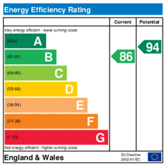
EPC Rating & Upgrade Cost
Current rating: B
Potential rating: A
Inspection date: 26/02/2016
Expiry date: 25/02/2026 (expired)
Current heating cost: £248/year
Potential heating cost: £250/year
Est. upgrade cost to C: £11,500
Recommendations
- Solar water heating (£4,000 - £6,000)
- Solar photovoltaic panels, 2.5 kWp (£5,000 - £8,000)
Flood risk
Zone: 1
Risk: Low
Job (default Low)
Floorplans
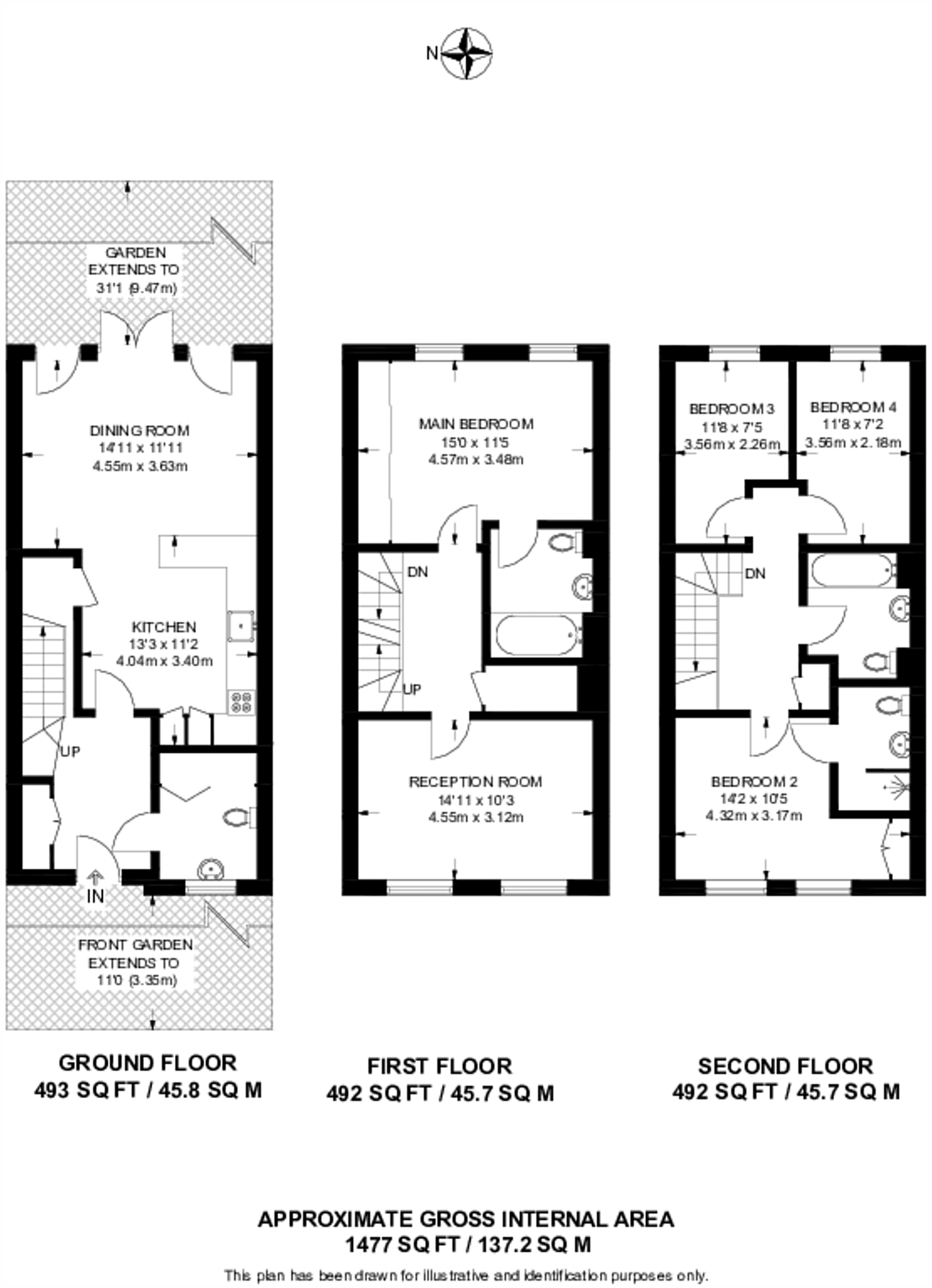
Floorplan area for info only, not for £/sq. ft valuation

Floorplan 2
EPC Graphs
EER
Price history
12% since 2016
| Event | Date | Price | % change |
|---|---|---|---|
| Sold | 11/03/2026 (3 months ago) | £995,000 | +11.8% |
| Sold | 31/03/2016 (10 years ago) | £890,000 | — |
Source: HM Land Registry Price Paid Data. Crown copyright.
Sold Comparables
Same street and nearby sales within 0.25 miles (last 5 years). Data from Land Registry Price Paid.
| Address | Price | Date | Type |
|---|---|---|---|
| 169 PLOUGH WAY, LONDON, SOUTHWARK, GREATER LONDON, SE16 7FN | £700,000 | 13/01/2026 | Terraced |
| 24 CARTERET WAY, LONDON, LEWISHAM, GREATER LONDON, SE8 3QA | £601,000 | 23/09/2022 | Terraced |
| Same street 77 MARY ROSE SQUARE, LONDON, LEWISHAM, GREATER LONDON, SE16 7EL | £975,000 | 16/09/2022 | Terraced |
| 203 PLOUGH WAY, LONDON, SOUTHWARK, GREATER LONDON, SE16 7FN | £1,000,000 | 22/07/2022 | Terraced |
| 197 PLOUGH WAY, LONDON, SOUTHWARK, GREATER LONDON, SE16 7FN | £775,000 | 26/01/2022 | Terraced |
| 1 HOCKETT CLOSE, LONDON, LEWISHAM, GREATER LONDON, SE8 3PX | £561,000 | 22/12/2021 | Terraced |
Street average: £975,000 (1 sale)
Area average: £727,400 (5 sales)
Capital growth trend
Land Registry outcode average: last 12 months vs 5y and 10y ago (from sold prices).
House Price Index (HM Land Registry — official index, not sold-price averages): Lewisham. Series: Terraced. As of March 2026.
Rental Range
Estimated market rent for Lewisham. Low = conservative, Realistic = average, Optimistic = best case.
Based on Local Authority from postcode lookup → Lewisham.
LHA (30th percentile) floor for Cambridge: £1,446/mo (Apr 2025 – Mar 2026)
Location
Nearby
Nearest stations, universities and amenities (distance from property).
| Type | Name | Distance |
|---|---|---|
| Shop | Headcase | 0.1 miles |
| Shop | Blue Mango Salon | 0.1 miles |
| Bus stop | Windlass Place | 0.1 miles |
| Bus stop | Dunnage Crescent | 0.1 miles |
| Train station | Surrey Quays | 0.5 miles |
| Train station | Canada Water | 0.8 miles |
| University | University of Greenwich | 1.4 miles |
| University | Northeastern University London | 1.8 miles |
| Hospital | Dental Hospital | 2.8 miles |
| Hospital | King's College Hospital Emergency Department | 2.9 miles |
Street-level crime
| Category | Count |
|---|---|
| Violence and sexual offences | 220 |
| Anti-social behaviour | 169 |
| Theft from the person | 91 |
| Other theft | 48 |
| Burglary | 47 |
| Vehicle crime | 41 |
| Criminal damage and arson | 34 |
| Shoplifting | 31 |
| Public order | 30 |
| Drugs | 29 |
| Robbery | 26 |
| Bicycle theft | 14 |
| Other crime | 7 |
| Possession of weapons | 3 |
| Total incidents | 790 |
Within 1 mile during Apr 2026. Source: data.police.uk (England & Wales).
Schools nearby
Nearest open schools with Ofsted ratings (England). Closed schools are not shown. Data from Get Information about Schools and Ofsted.
| Name | Type | Distance | Ofsted |
|---|---|---|---|
| Deptford Park Primary School | Primary | 0.2 miles | Good — 3 Sep 2013 |
| Marathon Science School | Other | 0.2 miles | Inadequate — 28 Jun 2023 |
| Twin Oaks Primary School | Primary | 0.4 miles | Good — 2 Mar 2022 |
| Clyde Nursery School. | Nursery | 0.5 miles | Good — 27 May 2024 |
| Arnhem Wharf Primary School | Primary | 0.5 miles | Good — 11 Jul 2013 |
Rental Comparables
Loading rental comparables for this postcode. Refresh in a few minutes.
Rent-driven metrics
Based on Area rent estimate.
- Rent ratio — Monthly rent ÷ purchase price (1% rule). 1%+ = strong, 0.8–1% = okay, <0.8% = weak for cashflow.
- Max investor price — Rent ÷ 0.8%; the price at which rent would be 0.8% of price (Stoke-style target).
- Target investor price — Rent ÷ 1%; the price at which rent would be 1% of price (strong cashflow band).
- Gross yield — Annual rent as % of purchase price (no costs).