133 VICTORIA PARK ROAD
STOKE-ON-TRENT, STOKE-ON-TRENT ST6 6DY
£850 pcm
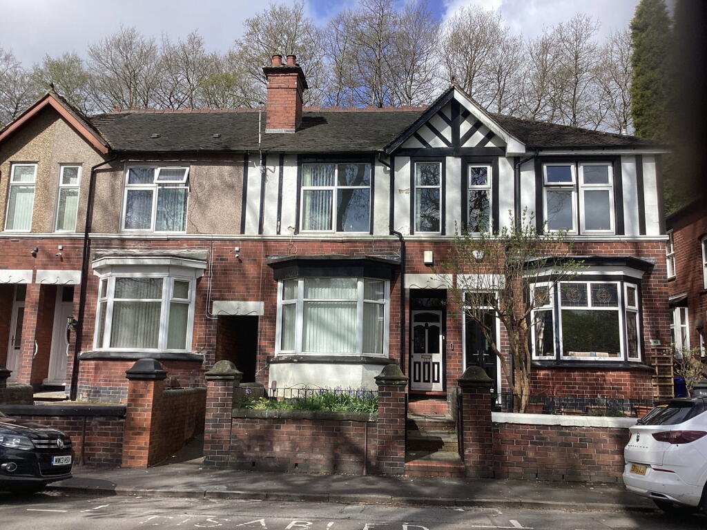
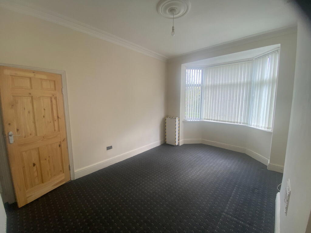
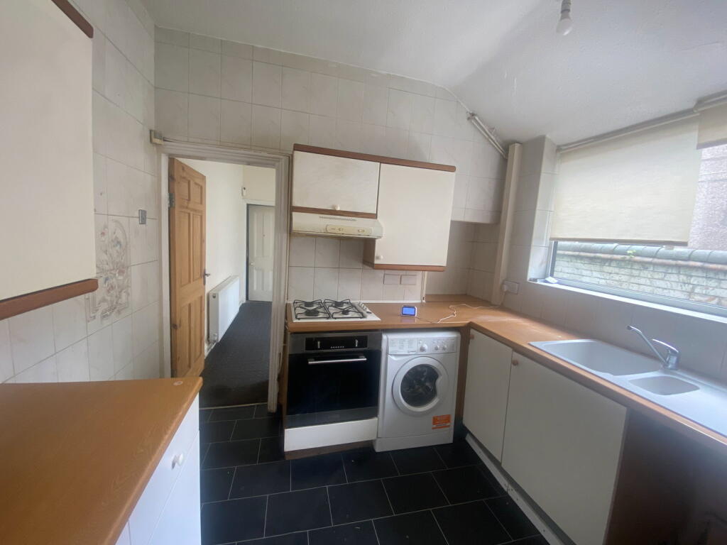
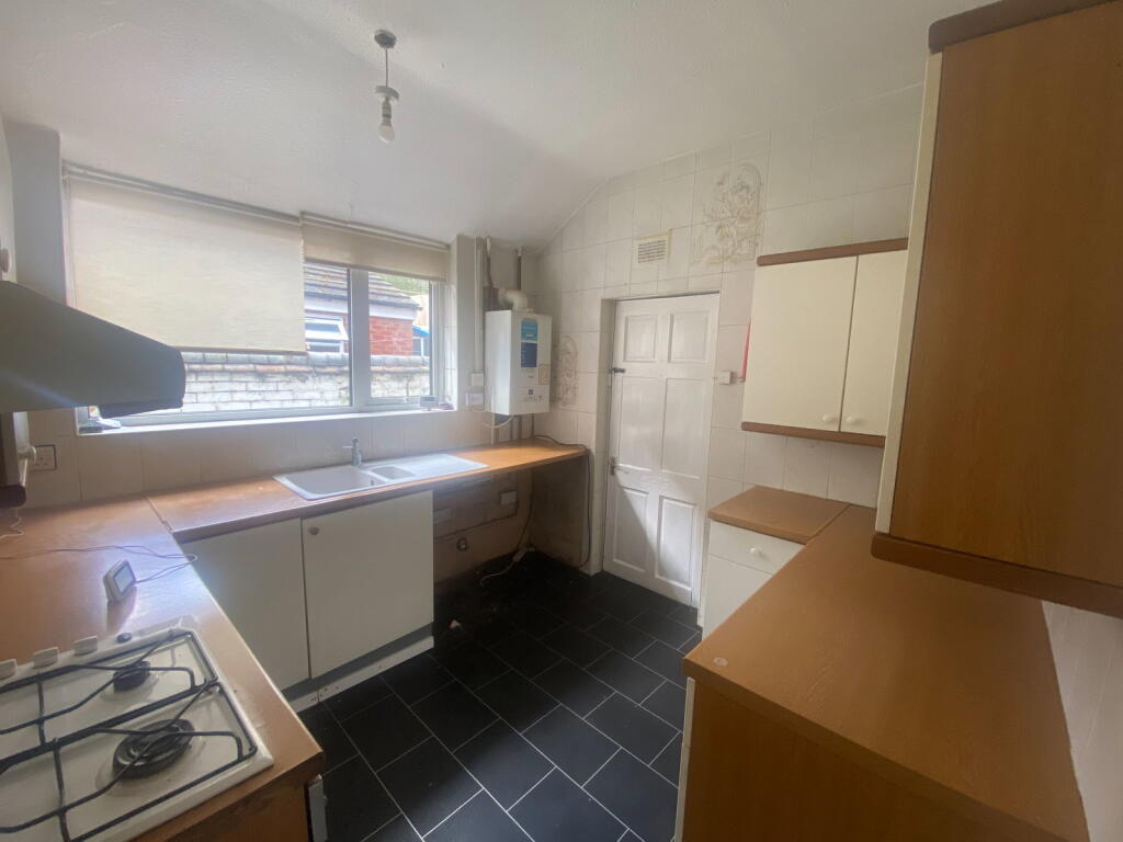
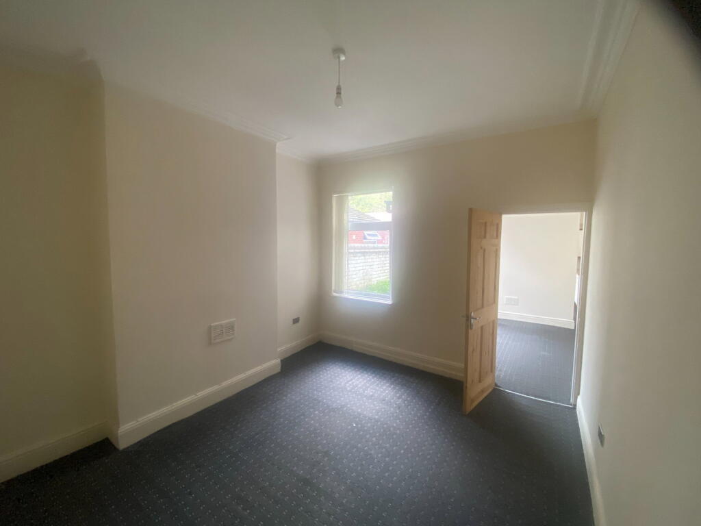
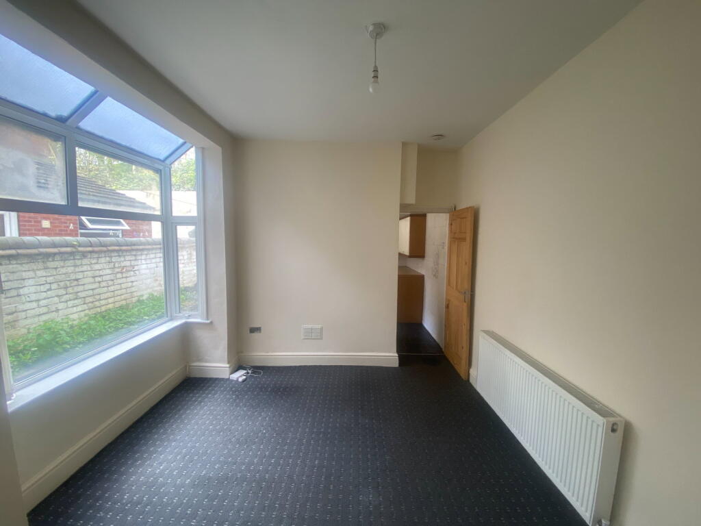
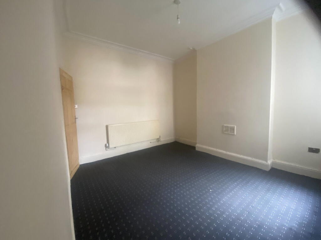
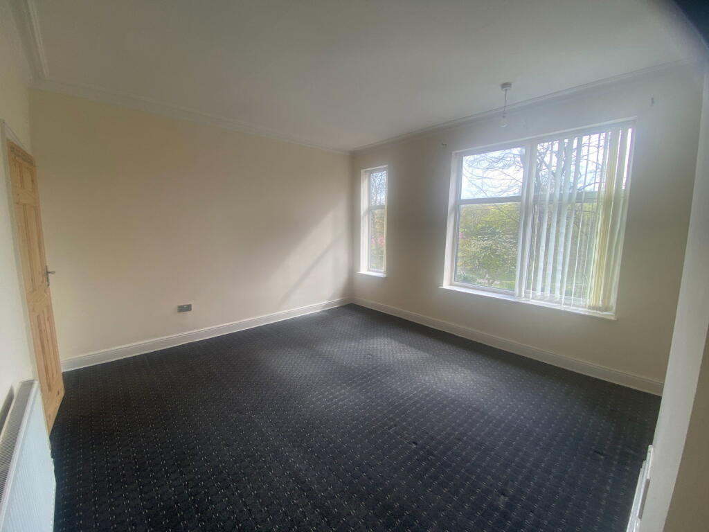
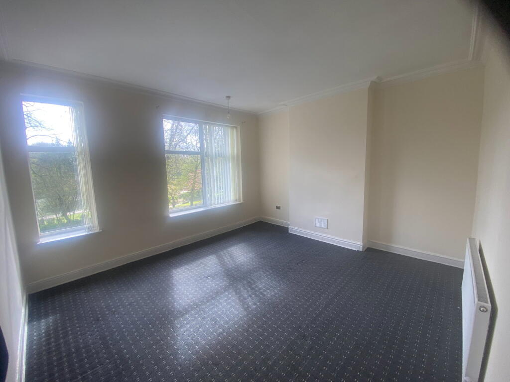
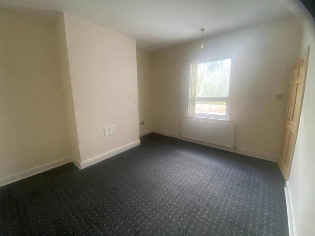
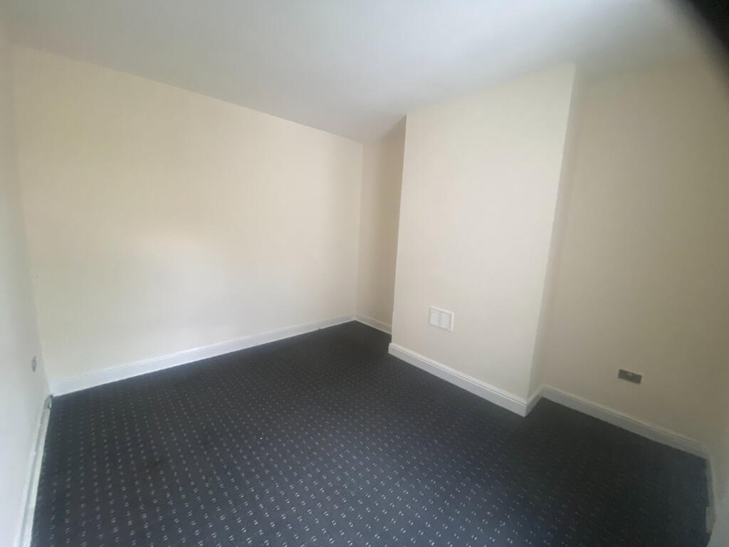
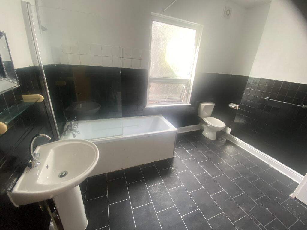
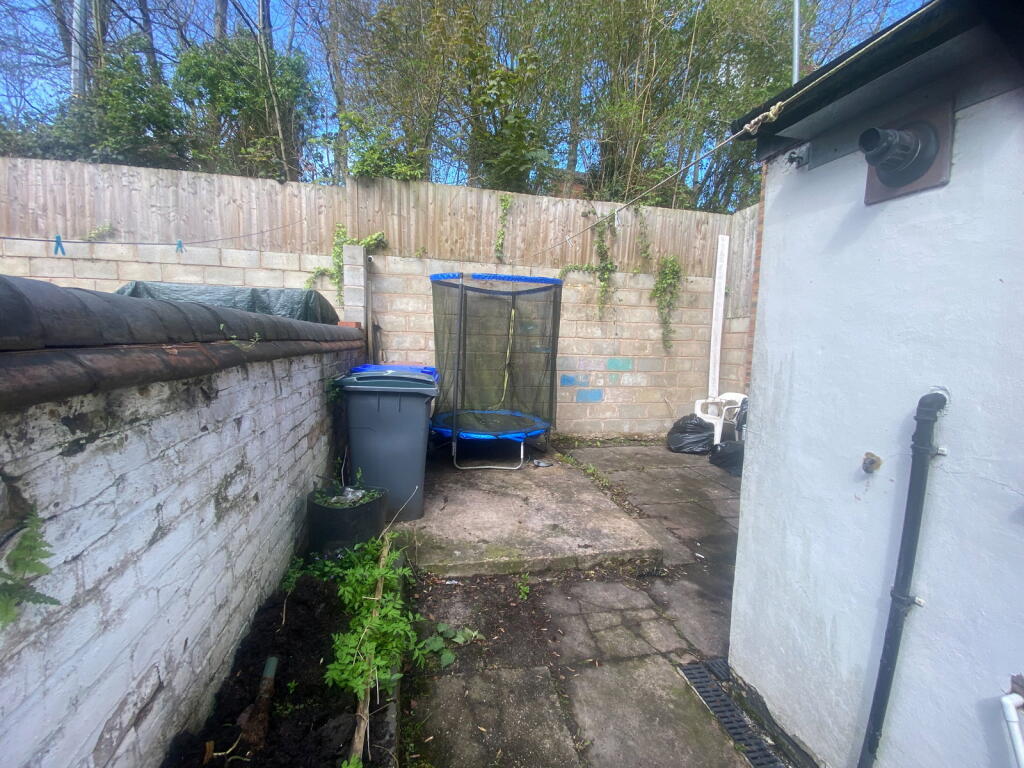
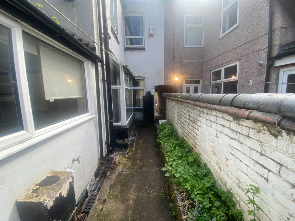
Photo 1 Photo 2 Photo 3 Photo 4 Photo 5 Photo 6 Photo 7 Photo 8 Photo 9 Photo 10 Photo 11 Photo 12 Photo 13 Photo 14
/ 14
Property details
Floor area
98 m²
Council tax band
B
Deprivation
Decile 1 (3,090 of 33,755)
Street crime
361 incidents within 1 mile (Apr 2026)
Additional details
- Garden
- Yes
- Listed property
- No
Description
This inviting home offers a bright and airy front reception room, a comfortable rear reception room, and a separate dining room on the ground floor, providing versatile living spaces perfect for relaxation, entertaining, or even a home office setup. A fitted kitchen, thoughtfully designed for practicality, completes the ground floor. To the first floor, you will find two well-proportioned bedrooms, each offering a peaceful retreat, and a family bathroom, ensuring comfortable and practical living throughout.
The property benefits from a private rear garden, offering a pleasant outdoor space for enjoying the fresh air or gentle gardening.
Located just a short walk from the town centre, the property is conveniently close to local shops, supermarkets, and cafes, making everyday living straightforward. The area is well-served by regular bus routes and offers excellent transport connections across Stoke-on-Trent and beyond.
Ground Floor
Front Reception Room 3.95m X 3.20m
Rear Reception Room 3.91m X 3.20m
Dining Room 3.26m X 2.81m
Kitchen 2.86m X 2.78m
Hallway
First Floor
Bedroom 1- 4.29m X 3.95m
Bedroom 2- 3.91m X 3.55m
Bathroom
Listed by
West Midlands
exp world uk limited
Reference: 174849077
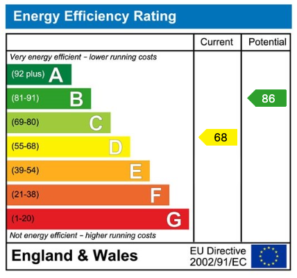
EPC Rating & Upgrade Cost
Fetching EPC data… Refresh this page in a moment.
Flood risk
Zone: 1
Risk: Low
Job (default Low)
Floorplans
Floorplan 1
EPC Graphs
EPC 1
Rental Range
Estimated market rent for Stoke-on-Trent. Low = conservative, Realistic = average, Optimistic = best case.
Based on Local Authority from postcode lookup → Stoke-on-Trent.
LHA (30th percentile) floor for Staffordshire North: £479/mo (Apr 2025 – Mar 2026)
Location
Nearby
Nearest stations, universities and amenities (distance from property).
| Type | Name | Distance |
|---|---|---|
| Bus stop | Tunstall, Furlong Road / Hallfield Grove | 0.1 miles |
| Shop | Londis | 0.4 miles |
| Shop | Copy-CAD | 0.4 miles |
| Hospital | Haywood Hospital | 0.7 miles |
| Hospital | Haywood Hospital Walk-in Centre | 0.7 miles |
| Train station | Longport | 1.6 miles |
| Train station | Kidsgrove | 2.4 miles |
| University | University of Staffordshire Stoke Campus | 3.9 miles |
Street-level crime
| Category | Count |
|---|---|
| Violence and sexual offences | 115 |
| Anti-social behaviour | 69 |
| Vehicle crime | 33 |
| Criminal damage and arson | 29 |
| Other theft | 29 |
| Shoplifting | 20 |
| Public order | 18 |
| Burglary | 16 |
| Robbery | 10 |
| Drugs | 9 |
| Possession of weapons | 6 |
| Other crime | 5 |
| Bicycle theft | 2 |
| Total incidents | 361 |
Within 1 mile during Apr 2026. Source: data.police.uk (England & Wales).
Schools nearby
Nearest open schools with Ofsted ratings (England). Closed schools are not shown. Data from Get Information about Schools and Ofsted.
| Name | Type | Distance | Ofsted |
|---|---|---|---|
| Mill Hill Primary Academy | Primary | 0.2 miles | Outstanding — 24 Jan 2024 |
| St Margaret Ward Catholic Academy | Secondary | 0.3 miles | Good — 4 Mar 2013 |
| St Wilfrid's Catholic Primary School | Primary | 0.4 miles | Good — 12 Jun 2017 |
| Active Wellbeing School | Other | 0.4 miles | Requires improvement — 29 Nov 2023 |
| Watermill School | Other | 0.6 miles | Good — 30 May 2013 |
Rental Comparables
Residential lets from OpenRent and Rightmove for the area (same bedroom count). Use to validate rent estimates. Student lets are excluded.
| Title | Rent | Beds | Distance | As seen on |
|---|---|---|---|---|
| Victoria Park Road, Stoke-on-trent, ST6 6DY | £850/mo | 2 | 0 miles | Rightmove |
| Machin Street, Tunstall | £750/mo | 2 | 0.3 miles | Rightmove |
| The Boulevard, Stoke-on-Trent, ST6 | £595/mo | — | 0.4 miles | Rightmove |
| St Aidans Street, Stoke-on-trent | £750/mo | 2 | 0.5 miles | Rightmove |
| King William Street, Tunstall | £750/mo | 2 | 0.52 miles | Rightmove |
| Bond Street, Tunstall | £750/mo | 2 | 0.53 miles | Rightmove |
| Pinnox Street, Stoke-On-Trent | £850/mo | 2 | 0.63 miles | Rightmove |
| High Street, Tunstall | £550/mo | — | 0.66 miles | Rightmove |
| Federation Road, Burslem | £625/mo | 2 | 1.04 miles | Rightmove |
| Stanfield Road, Stoke-On-Trent, ST6 | £700/mo | 2 | 1.05 miles | Rightmove |
| Hamil Road, Burslem | £745/mo | 2 | 1.07 miles | Rightmove |
| May Street, Burslem, Stoke-on-Trent, Staffordshire, ST6 | £625/mo | 2 | 1.1 miles | Rightmove |
| Jackfield Street,Burslem, Stoke-on-Trent | £700/mo | 2 | 1.16 miles | Rightmove |
| Wade Street Burslem | £750/mo | 2 | 1.18 miles | Rightmove |
| Dartmouth Street, STOKE-ON-TRENT | £750/mo | 2 | 1.22 miles | Rightmove |
| Macclesfield Street, Stoke-On-Trent, ST6 | £725/mo | 2 | 1.26 miles | Rightmove |
| Moorland Road, Burslem, Stoke-on-Trent | £715/mo | 2 | 1.29 miles | Rightmove |
| Lingard Street, Burslem, Stoke-on-Trent, ST6 | £750/mo | — | 1.33 miles | Rightmove |
| Lyndhurst Street, Burslem | £695/mo | 2 | 1.34 miles | Rightmove |
| Nile Street, Burslem, Stoke-On-Trent, ST6 | £950/mo | 2 | 1.35 miles | Rightmove |
Average rent: £749/mo (31 listings)