Newport Lane
Stoke-On-Trent, ST6, ST6 3PJ
£1,205 pcm
Property details
Council tax band
B
Street crime
390 incidents within 1 mile (Aug 2026)
Key features
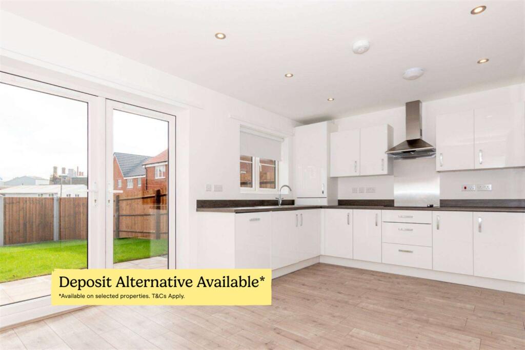
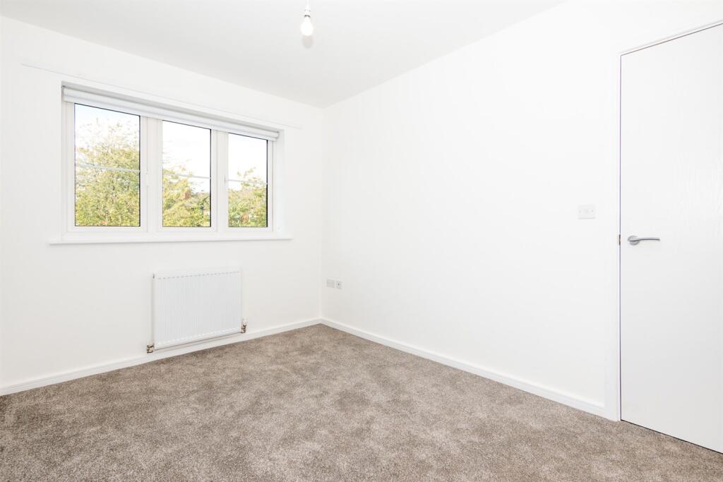
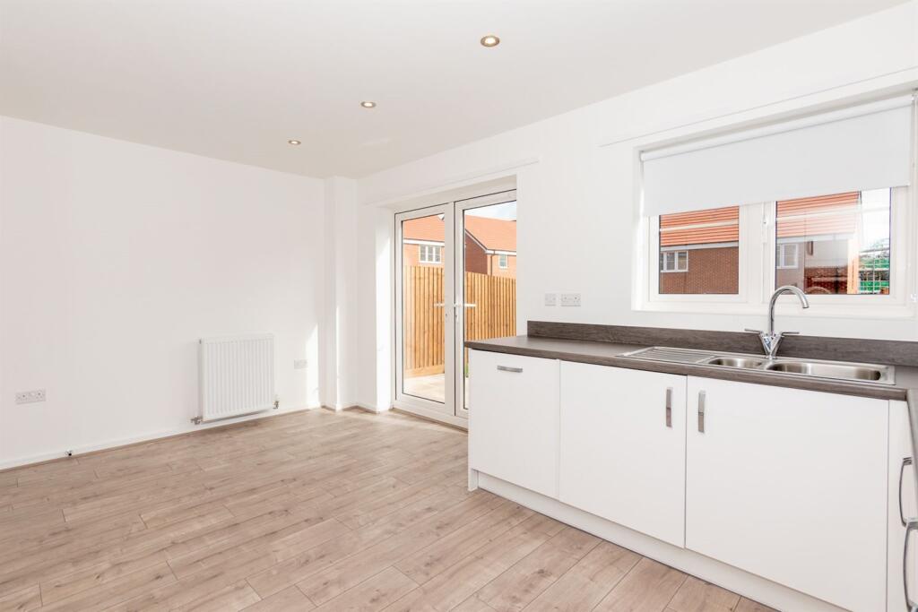
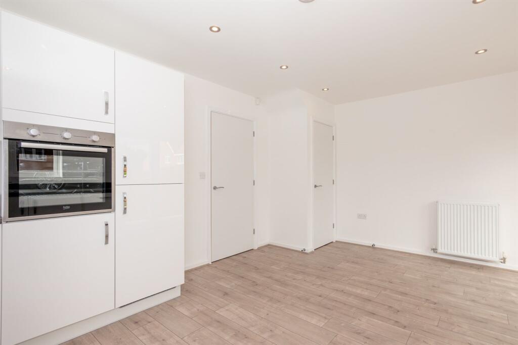
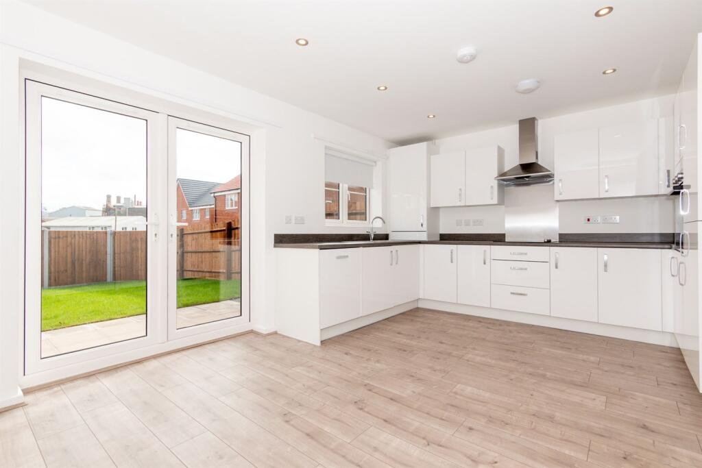
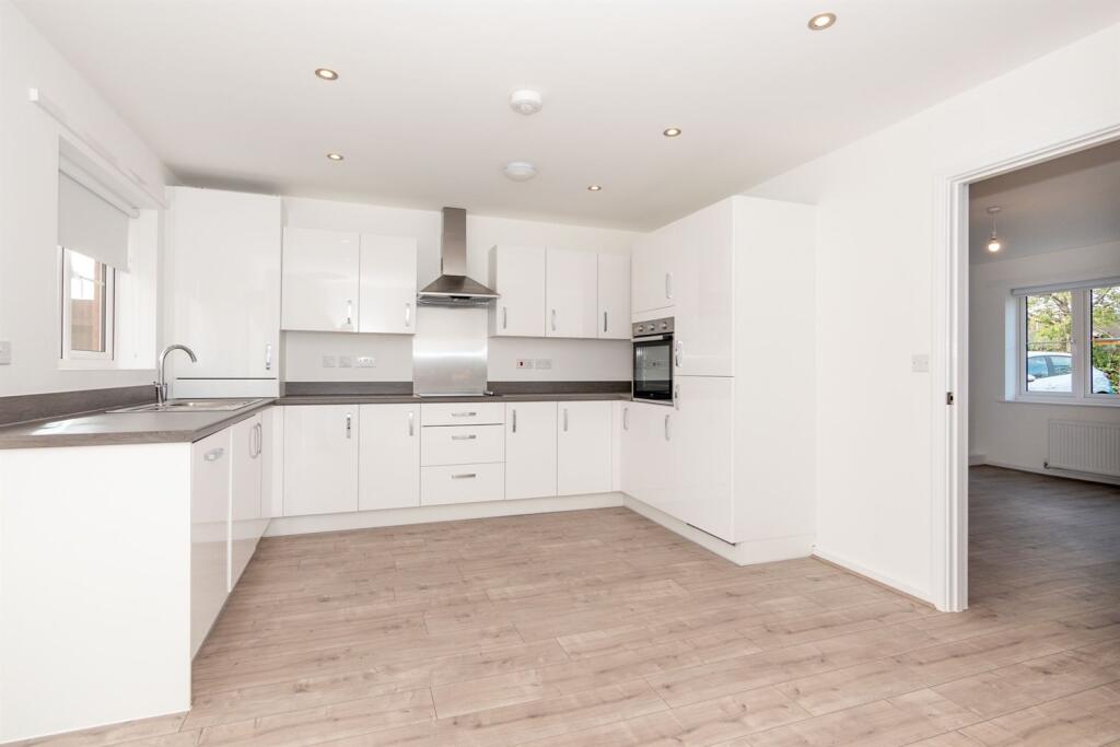
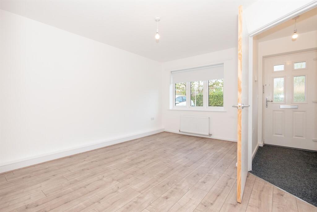
- Kitchen with modern worktops and units
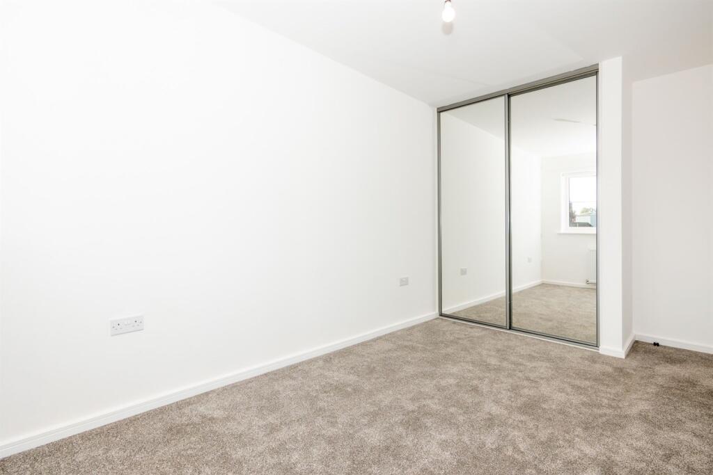
- Fitted mirrored wardrobe in the main bedroom
- White goods including dishwasher, fridge freezer, washing and drying machine, oven and hob
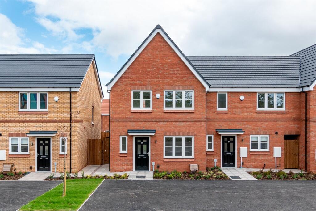
- Parking space
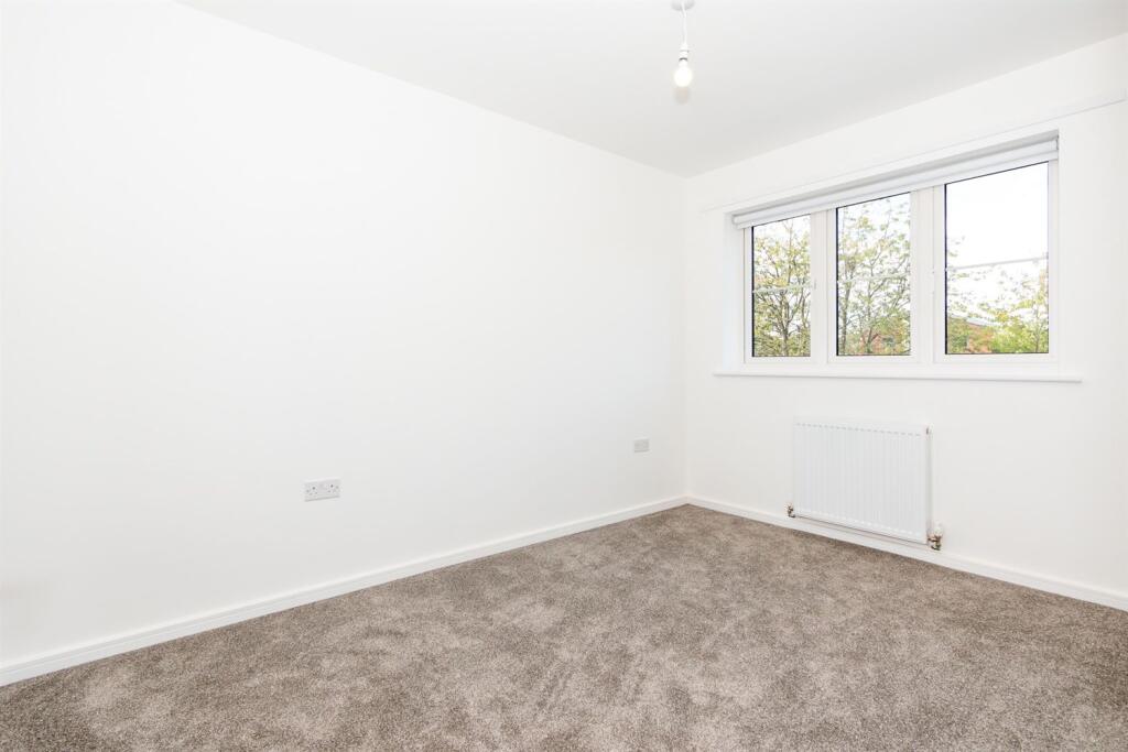
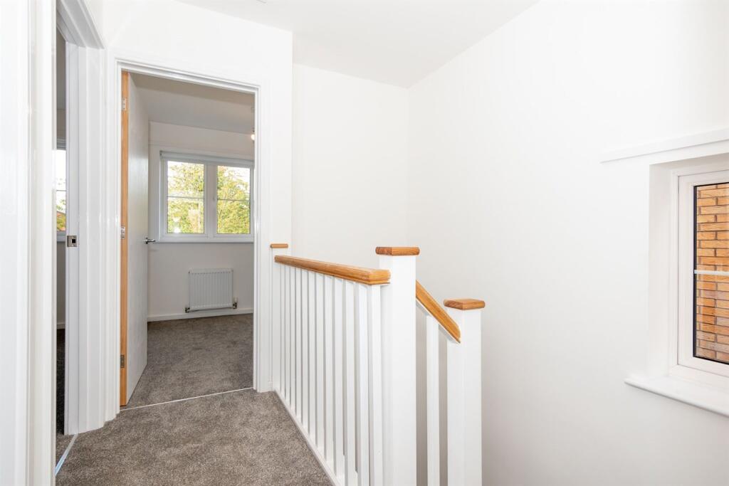
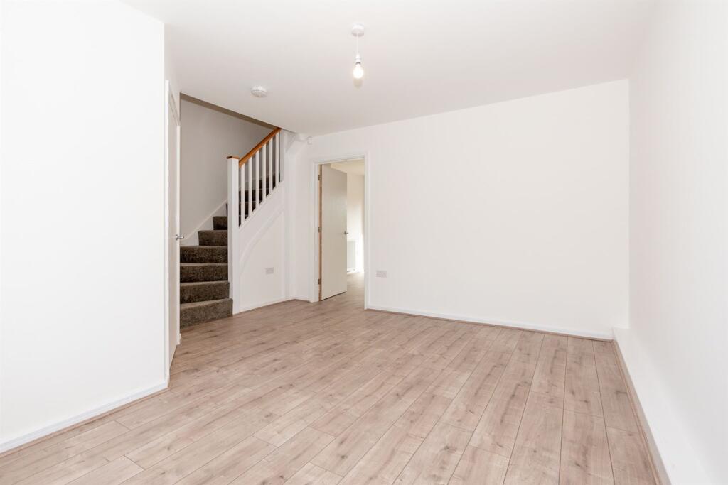
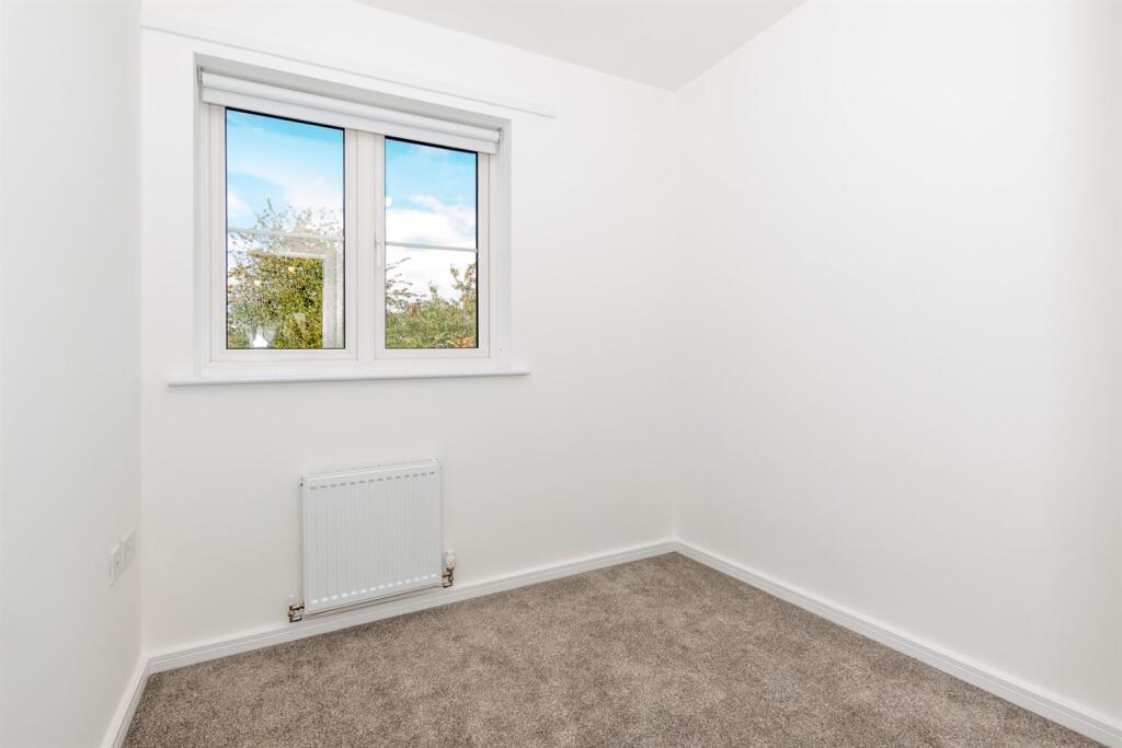
- Carpeted stairs and bedrooms
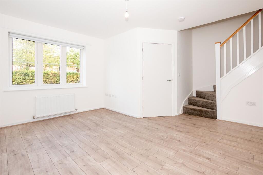
- Wood effect flooring on the ground floor
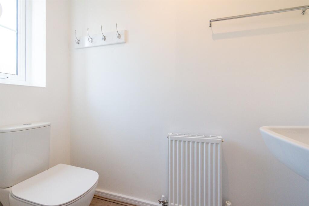
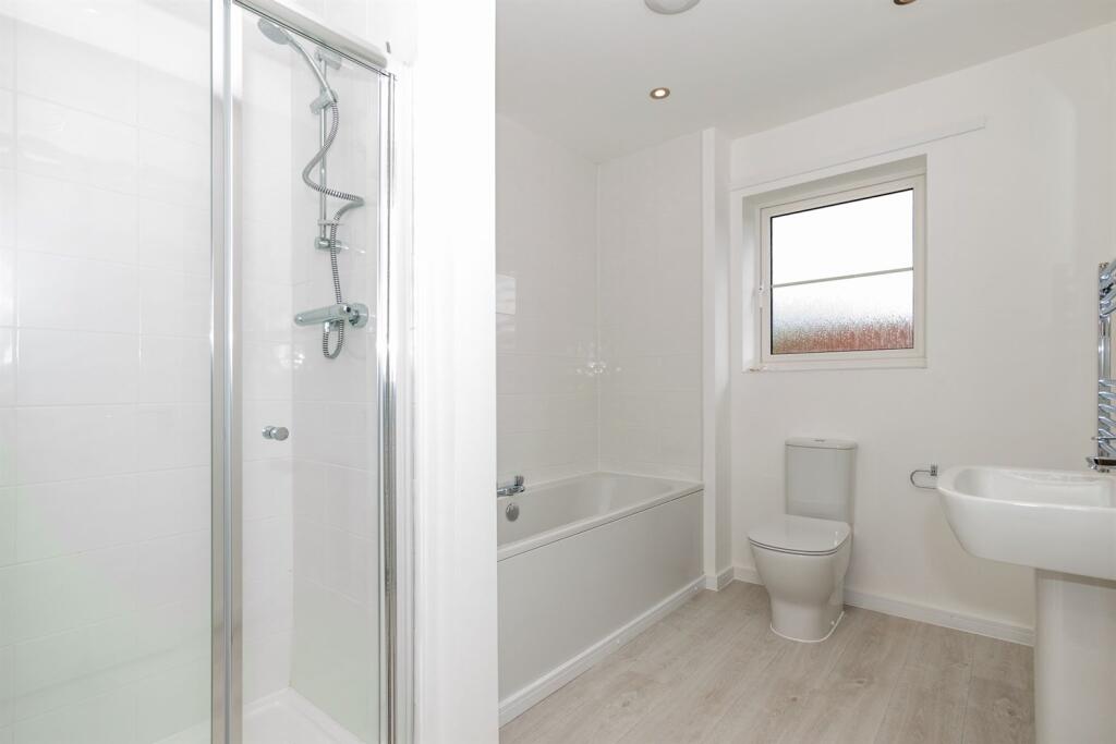
- Downstairs WC
- Private rear garden with patio area
- Outside tap
Additional details
- Parking
- Yes
- Garden
- Yes
Description
*Deposit Alternative Available - this is offered via Reposit. Residents opting for Reposit will pay a non-refundable service fee instead of a traditional deposit. This fee is not a deposit, and residents remain fully liable at the end of the tenancy as per usual. Eligibility criteria, terms and conditions apply. For more information, please visit
Listed by
Nationwide (SFH)
FOUR CORNERS PROPERTY MANAGEMENT LIMITED
Reference: 94283283
Flood risk
Zone: 1
Risk: Low
Job (default Low)
Registered land (INSPIRE)
This location falls inside an HM Land Registry INSPIRE registered freehold polygon.
Plot: ~2,708 m² (0.67 acres)
Source: HM Land Registry INSPIRE Index Polygons.
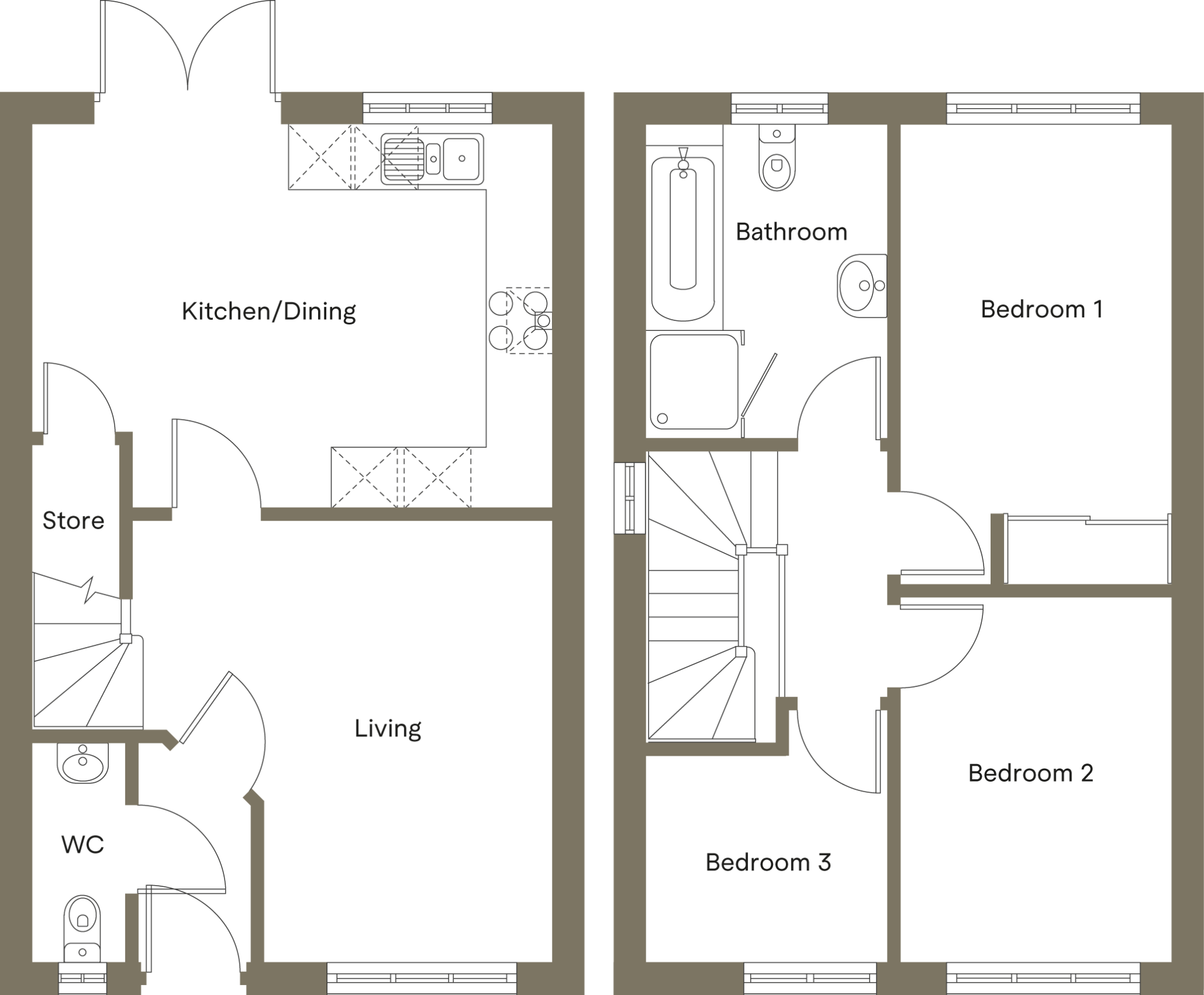
Floorplans
Other
EPC Graphs

EPC Graph
Rental Range
Estimated market rent for Stoke-on-Trent. Low = conservative, Realistic = average, Optimistic = best case.
Based on Local Authority from postcode lookup → Stoke-on-Trent.
LHA (30th percentile) floor for Staffordshire North: £593/mo (Apr 2025 – Mar 2026)
Location
Address
107 Newport Lane
Nearby
Nearest stations, universities and amenities (distance from property).
| Type | Name | Distance |
|---|---|---|
| Bus stop | Newcastle Street, Dale Street | 0.1 miles |
| Shop | Longport Convenience Store | 0.3 miles |
| Bus stop | Longport, Newcastle Street / Trubshaw Cross | 0.3 miles |
| Shop | Wayne Walker Quality Meats Factory Shop | 0.4 miles |
| Train station | Longport | 0.5 miles |
| Hospital | Haywood Hospital Walk-in Centre | 1.2 miles |
| Train station | Apedale Road | 2.5 miles |
| Hospital | Royal Stoke University Hospital | 2.7 miles |
| University | Keele University | 3.9 miles |
| University | Buxton & Leek College | 8.8 miles |
Street-level crime
| Category | Count |
|---|---|
| Violence and sexual offences | 122 |
| Anti-social behaviour | 76 |
| Other theft | 34 |
| Shoplifting | 34 |
| Public order | 26 |
| Criminal damage and arson | 25 |
| Vehicle crime | 23 |
| Burglary | 22 |
| Robbery | 10 |
| Bicycle theft | 6 |
| Possession of weapons | 6 |
| Drugs | 3 |
| Other crime | 2 |
| Theft from the person | 1 |
| Total incidents | 390 |
Within 1 mile during Aug 2026. Source: data.police.uk (England & Wales).
Schools nearby
Nearest open schools with Ofsted ratings (England). Closed schools are not shown. Data from Get Information about Schools and Ofsted.
| Name | Type | Distance | Ofsted |
|---|---|---|---|
| Saint Nathaniel's Academy | Primary | 0.4 miles | Good — 20 Jun 2024 |
| Co-op Academy Stoke-On-Trent | Secondary | 0.7 miles | Good — 27 Mar 2013 |
| Oaklands Nursery School | Nursery | 0.7 miles | Outstanding — 15 Feb 2013 |
| Ellison Primary Academy | Primary | 0.8 miles | Good — 14 Sep 2023 |
| Kaleidoscope School | Other | 0.8 miles | Good — 10 Dec 2023 |
Rental Comparables
Residential lets from OpenRent and Rightmove for the area (same bedroom count). Use to validate rent estimates. Student lets are excluded.
| Title | Rent | Beds | Distance | As seen on |
|---|---|---|---|---|
| Newport Lane, Stoke-On-Trent, ST6 | £1,205/mo | 3 | 0 miles | Rightmove |
| Susie Cooper Drive, Stoke-On-Trent, ST6 | £1,205/mo | 3 | 0.02 miles | Rightmove |
| Ellgreave Street, Burslem | £750/mo | 3 | 0.21 miles | Rightmove |
| Longport Road, Burslem | £975/mo | 3 | 0.31 miles | Rightmove |
| Longshaw Street, Stoke-on-Trent, Staffordshire, ST6 | £650/mo | 3 | 0.38 miles | Rightmove |
| Lingard Street, Burslem, Stoke-on-Trent, ST6 | £750/mo | — | 0.76 miles | Rightmove |
| Festival heights, Stoke-on-Trent | £950/mo | 3 | 0.79 miles | Rightmove |
| Gibson Street, Tunstall | £880/mo | 3 | 0.88 miles | Rightmove |
| Moorland Road, Stoke-On-Trent | £850/mo | 3 | 0.88 miles | Rightmove |
| Bowden Street, Stoke-On-Trent, ST6 | £850/mo | 3 | 0.93 miles | Rightmove |
| King William Street, STOKE-ON-TRENT | £895/mo | 3 | 1.07 miles | Rightmove |
| King William Street, Stoke-On-Trent, ST6 | £850/mo | 3 | 1.08 miles | Rightmove |
| High Lane, Burslem, Stoke on Trent | £585/mo | — | 1.12 miles | Rightmove |
| High Lane, Burslem, Stoke on Trent | £495/mo | — | 1.12 miles | Rightmove |
| High Lane, Burslem, Stoke on Trent | £635/mo | — | 1.12 miles | Rightmove |
| 3 Bed Bungalow, Carlos Place, ST5 | £1,240/mo | 3 | 1.12 miles | OpenRent |
| The Boulevard, Stoke-on-Trent, ST6 | £595/mo | — | 1.16 miles | Rightmove |
| Cliffe Place, Stoke-on-Trent, Staffordshire, ST6 | £800/mo | 3 | 1.17 miles | Rightmove |
| Gordon Avenue, Sneyd Green, Stoke-on-Trent | £1,000/mo | 3 | 1.19 miles | Rightmove |
| Mars Street, Stoke-On-Trent, ST6 | £825/mo | 3 | 1.34 miles | Rightmove |
Average rent: £902/mo (31 listings)