Dimsdale Hall Drive
Dimsdale, Newcastle-under-Lyme, ST5, ST5 9DZ
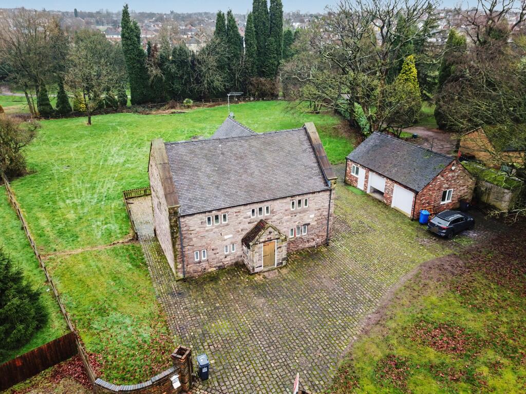
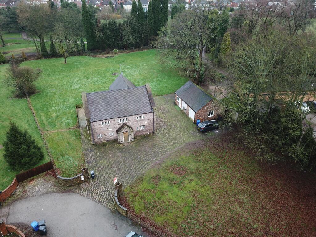
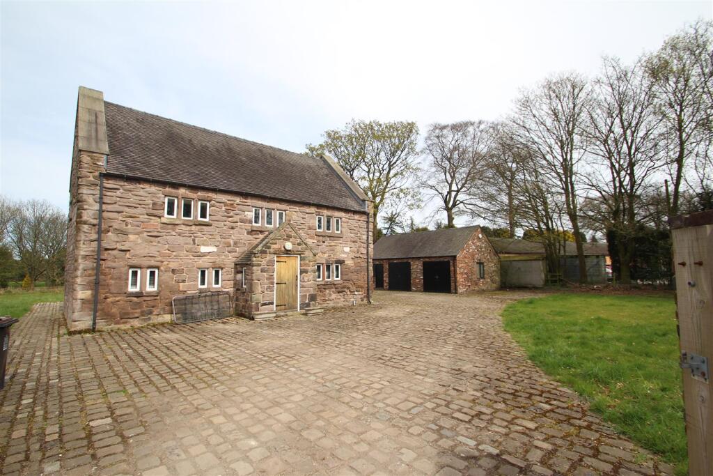

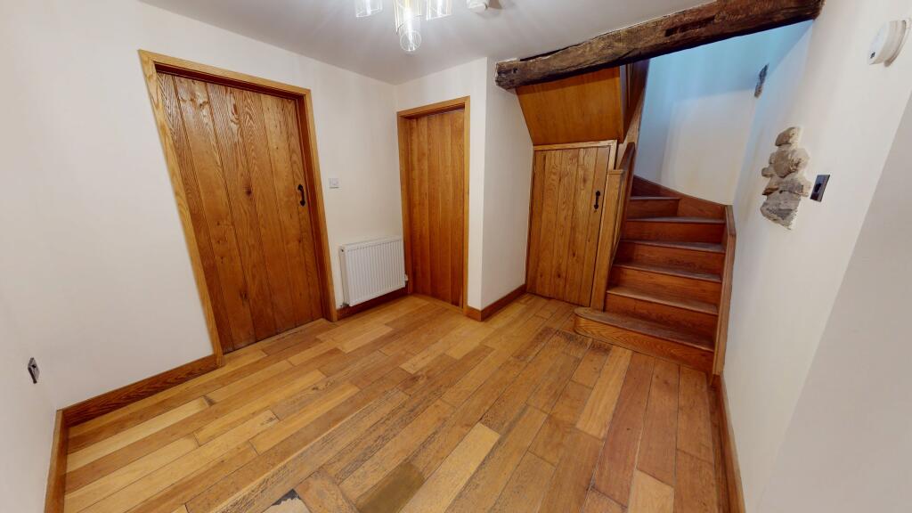
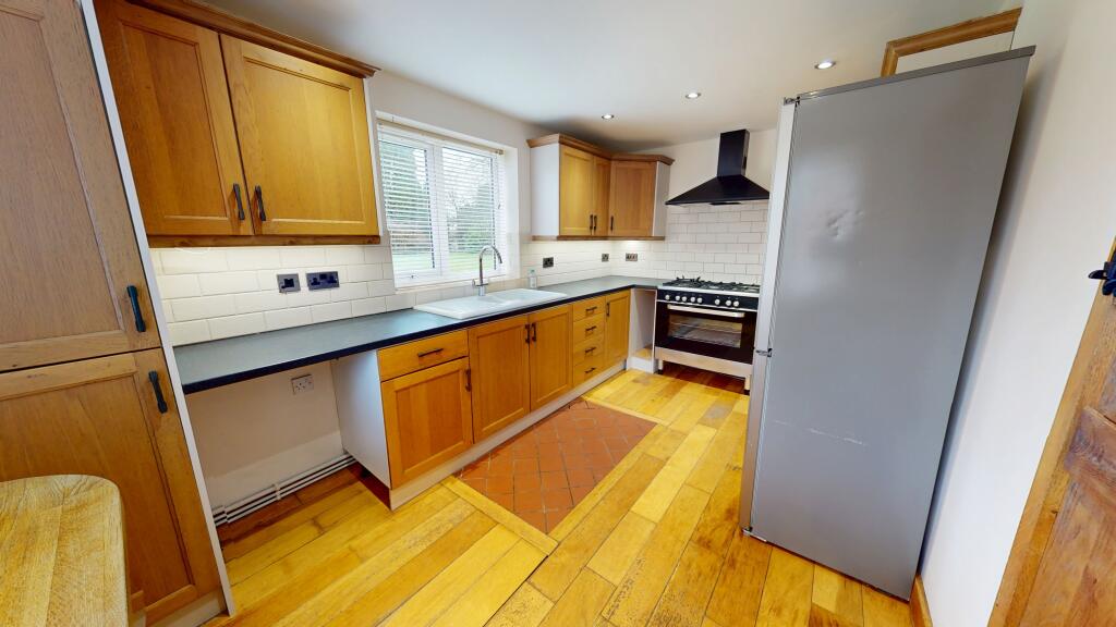
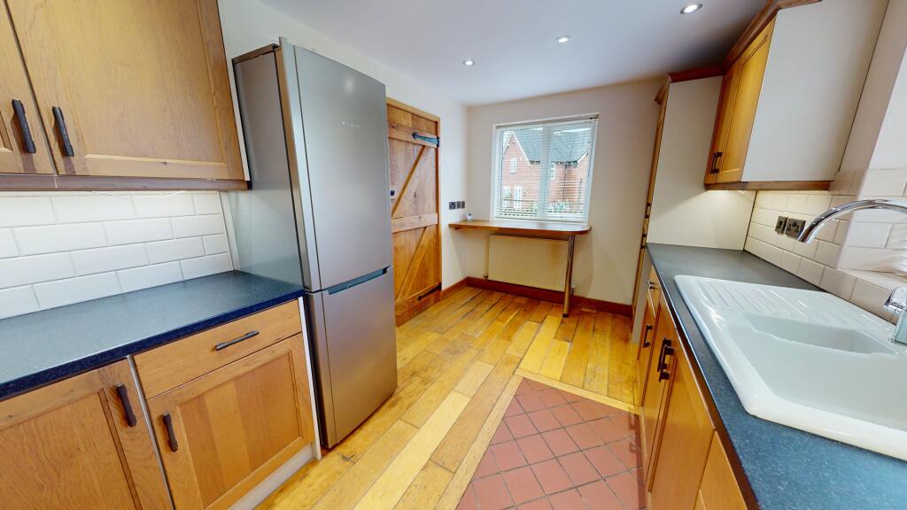
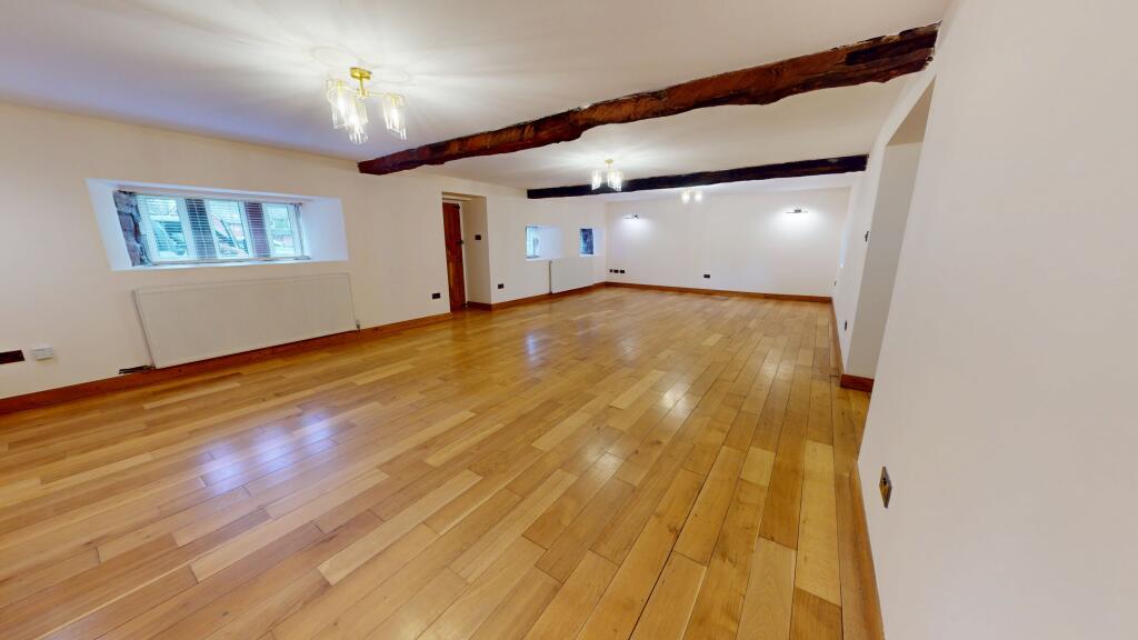
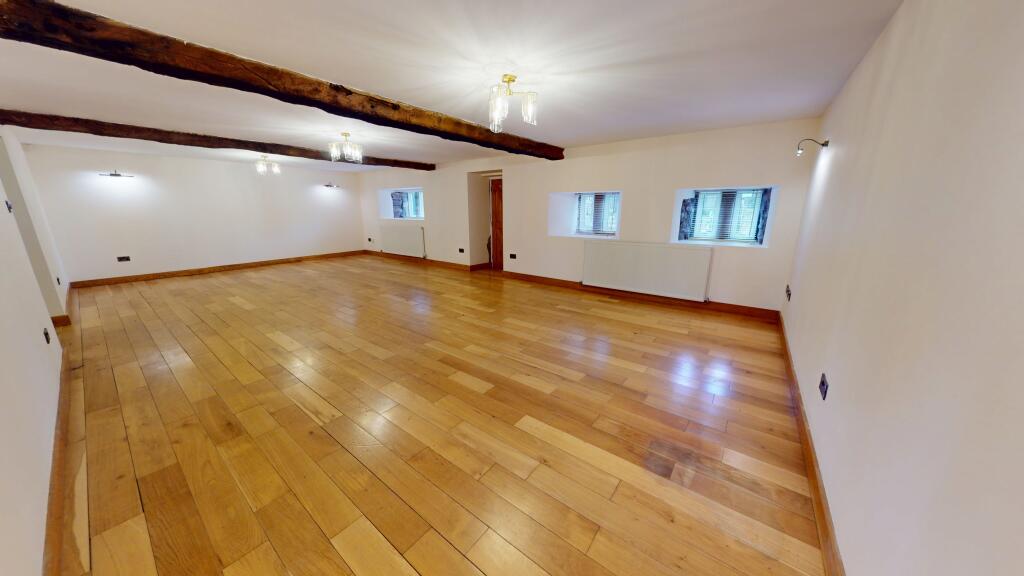
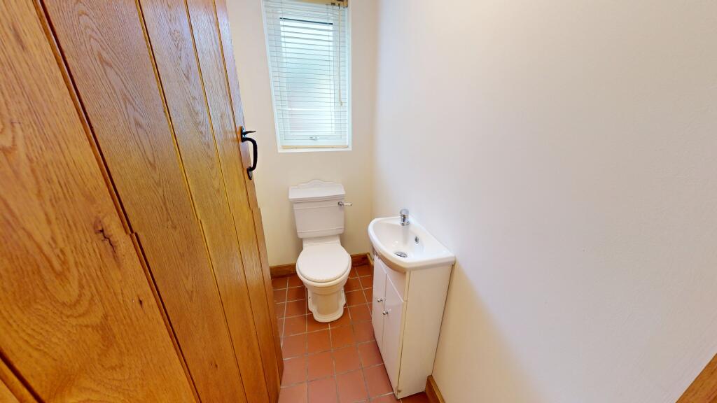
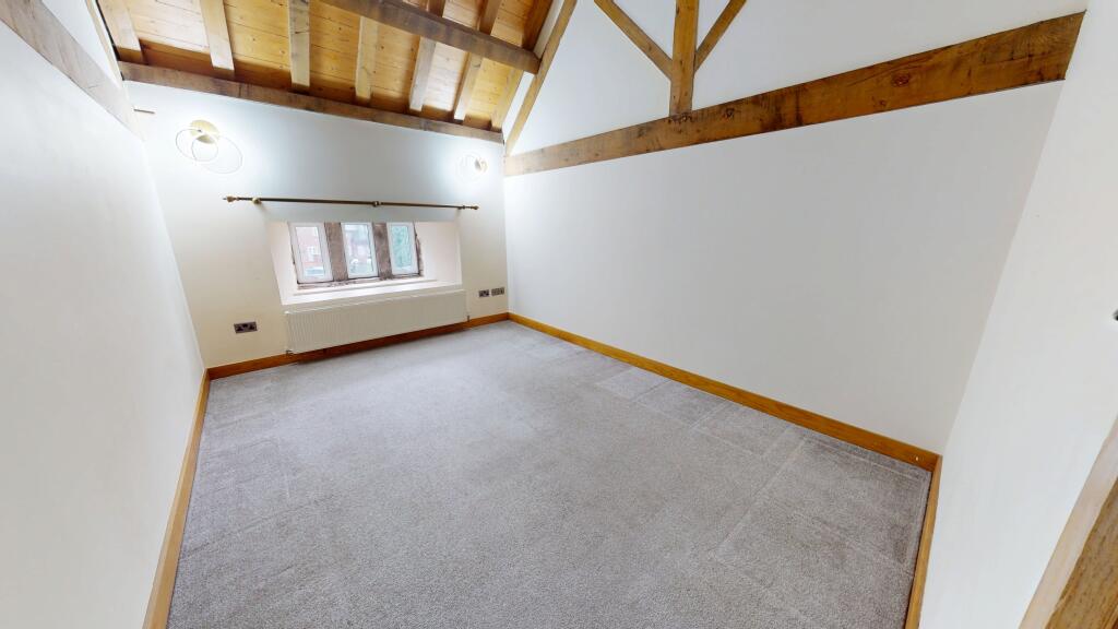
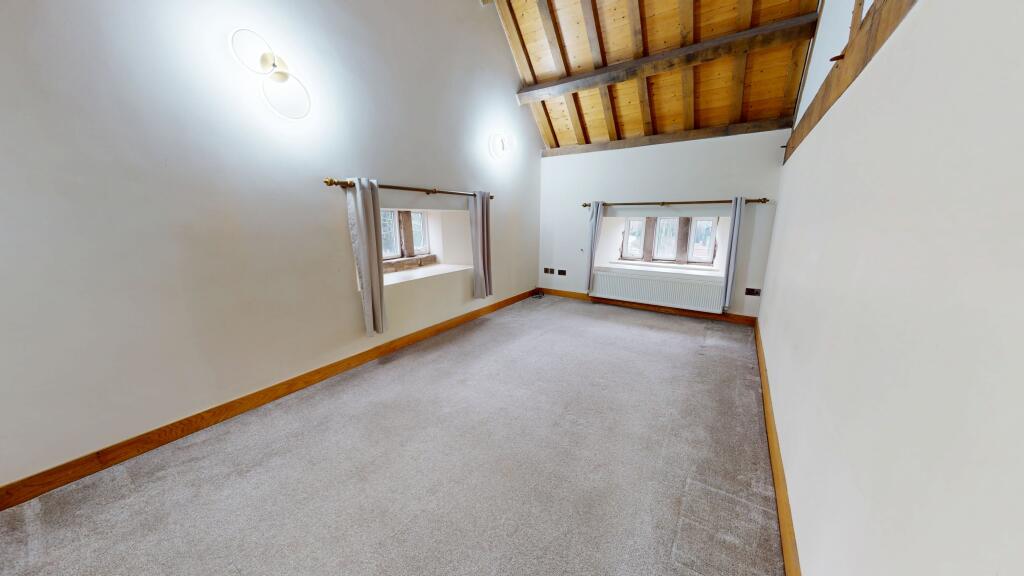
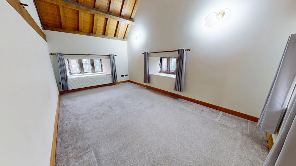
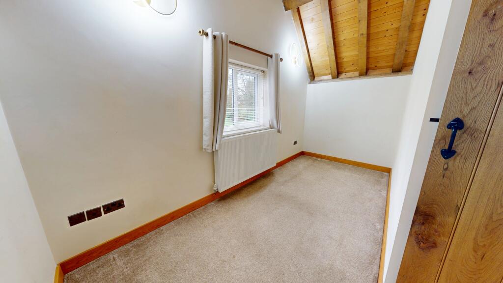
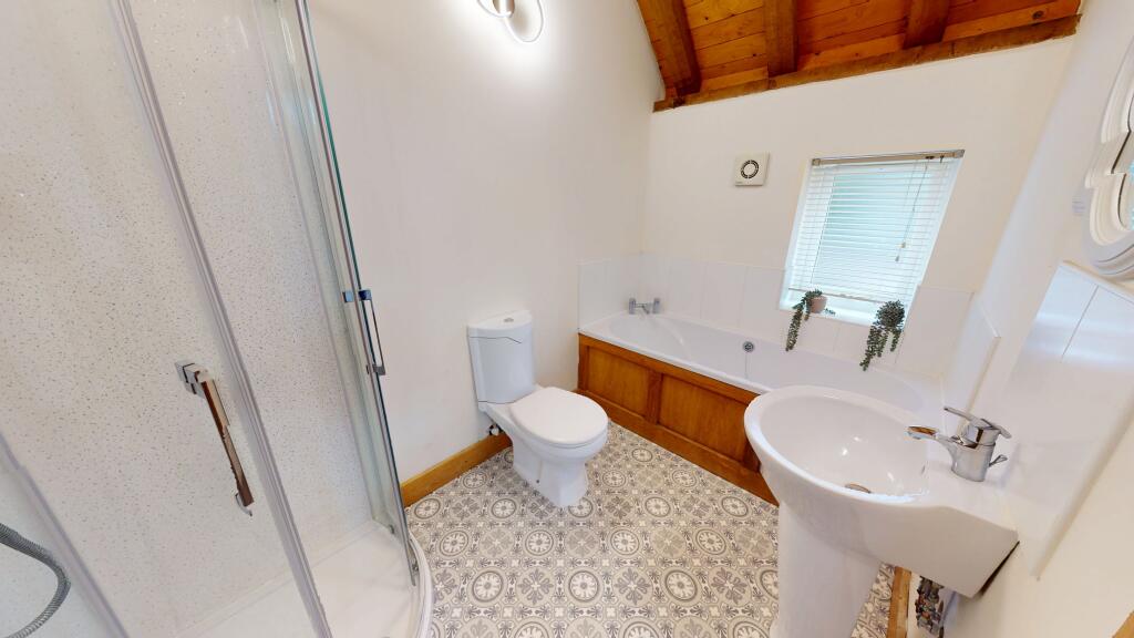
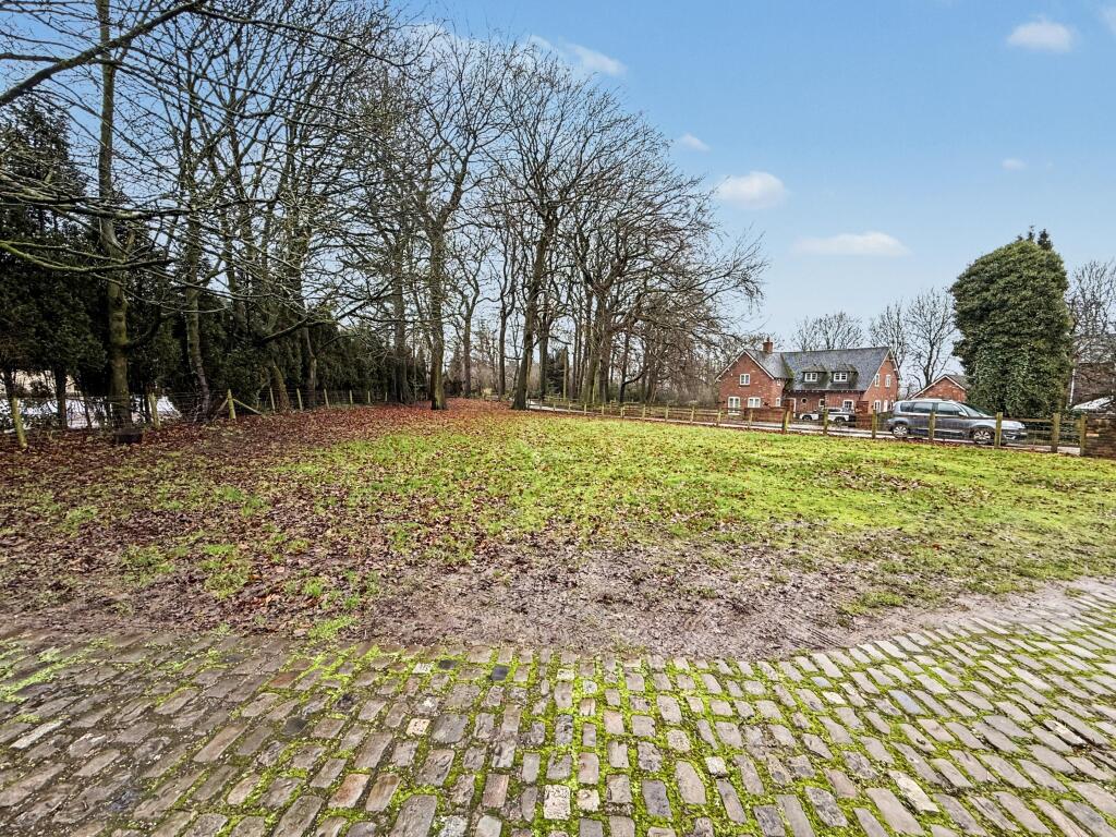
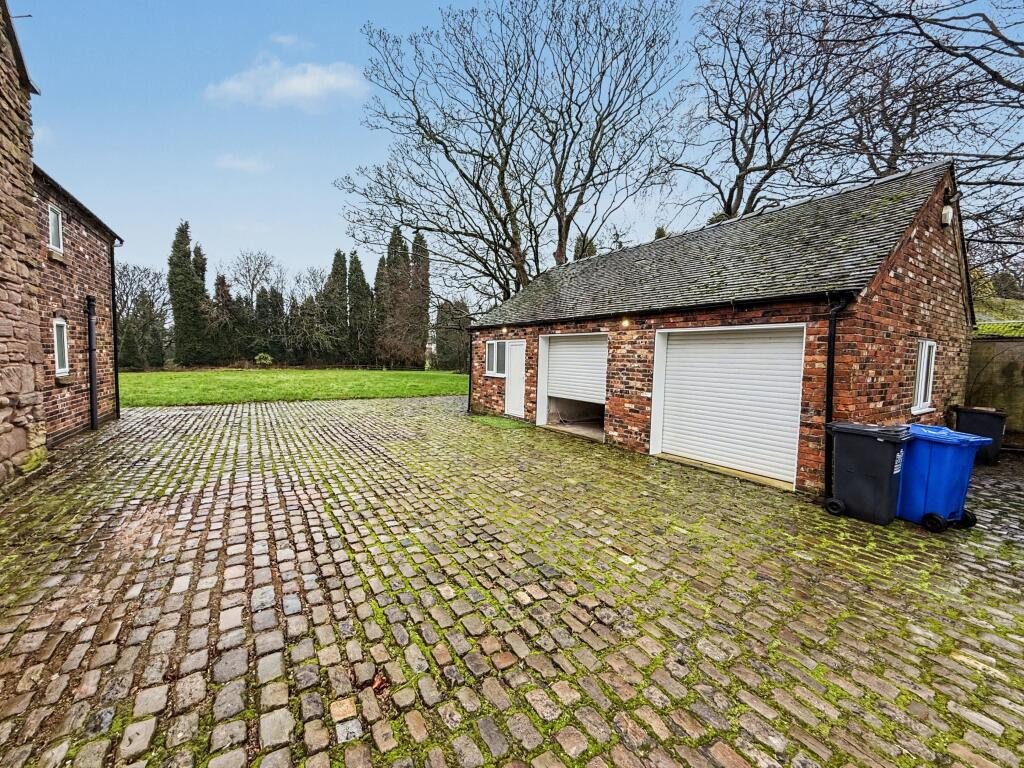
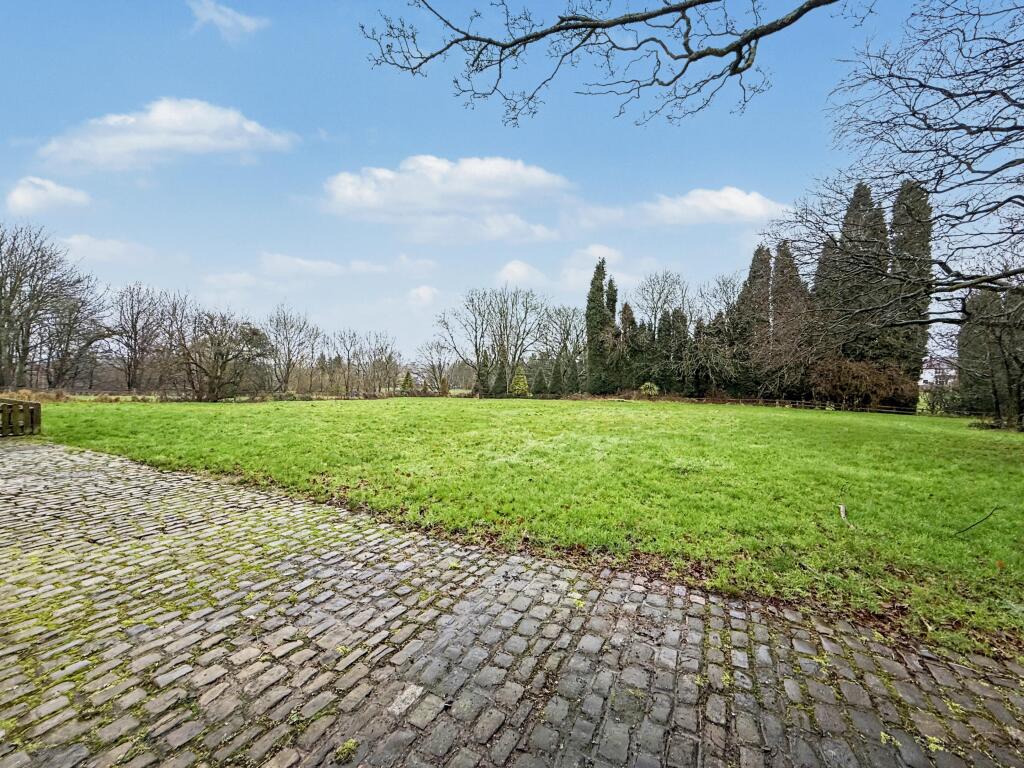
Photo 1 Photo 2 Photo 3 Photo 4 Photo 5 Photo 6 Photo 7 Photo 8 Photo 9 Photo 10 Photo 11 Photo 12 Photo 13 Photo 14 Photo 15 Photo 16 Photo 17 Photo 18
/ 18
Property details
Council tax band
G
Deprivation
Decile 5 (15,295 of 33,755)
Street crime
229 incidents within 1 mile (Apr 2026)
Key features
- Private Estate of only 4 Houses
- Large Plot
- Porch & Hallway
- 31' Lounge/Diner
- Four Bedrooms
- Ground Floor WC
- Utility Room
- Detached Double Garage
- Gas Central Heating
Additional details
- Heating
- Gas central
- Parking
- Garage
- Garden
- Private garden
- Listed property
- No
Description
Listed by
Stoke-On-Trent
The Property Franchise Group
Reference: 169523132
EPC ratings on this postcode
We don't have a matched EPC for this property yet. Below are efficiency scores and details for other addresses on this postcode.
| Address | Current | Potential | Floor area | Age band | Type |
|---|---|---|---|---|---|
| 1 Dimsdale Hall Drive, NEWCASTLE | 82 | 86 | 293 m² | England and Wales: 2007-2011 | Detached |
| 2, Dimsdale Hall Drive, NEWCASTLE | 44 | 71 | 156 m² | England and Wales: before 1900 | Detached |
| 3, Dimsdale Hall Drive, NEWCASTLE | 48 | 73 | 235 m² | England and Wales: 1930-1949 | Detached |
Flood risk
Zone: 1
Risk: Low
Job (default Low)
Floorplans
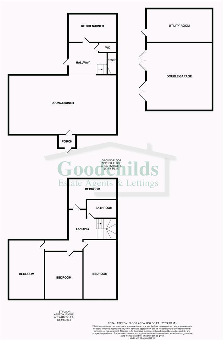
Floorplan
Rental Range
Estimated market rent for Newcastle-under-Lyme. Low = conservative, Realistic = average, Optimistic = best case.
Based on Local Authority from postcode lookup → Newcastle-under-Lyme.
LHA (30th percentile) floor for Staffordshire North: £798/mo (Apr 2025 – Mar 2026)
Location
Address
Dimsdale Parade West
Nearby
Nearest stations, universities and amenities (distance from property).
| Type | Name | Distance |
|---|---|---|
| Bus stop | Ashcroft Road | 0.2 miles |
| Bus stop | Wolstanton Golf Course | 0.2 miles |
| Shop | Samsung Support Centre | 0.3 miles |
| Shop | Meelie Mobile | 0.3 miles |
| Hospital | Bradwell Hospital | 0.5 miles |
| Train station | Longport | 1.0 miles |
| Train station | Silverdale | 1.3 miles |
| Hospital | Hartshill Medical Centre | 1.9 miles |
| University | Keele University | 2.6 miles |
| University | University of Staffordshire Stoke Campus | 2.8 miles |
Street-level crime
| Category | Count |
|---|---|
| Violence and sexual offences | 92 |
| Anti-social behaviour | 43 |
| Criminal damage and arson | 19 |
| Public order | 19 |
| Shoplifting | 15 |
| Other crime | 13 |
| Burglary | 9 |
| Vehicle crime | 8 |
| Other theft | 7 |
| Drugs | 3 |
| Bicycle theft | 1 |
| Total incidents | 229 |
Within 1 mile during Apr 2026. Source: data.police.uk (England & Wales).
Schools nearby
Nearest open schools with Ofsted ratings (England). Closed schools are not shown. Data from Get Information about Schools and Ofsted.
| Name | Type | Distance | Ofsted |
|---|---|---|---|
| Churchfields Primary School | Primary | 0.5 miles | Outstanding — 15 Sep 2015 |
| Sun Academy Bradwell | Primary | 0.5 miles | Good — 11 Sep 2018 |
| Kaleidoscope School | Other | 0.6 miles | Good — 10 Dec 2023 |
| Cedars - Newcastle, Moorlands and Darwin Bases | Other | 0.6 miles | Good — 26 Jun 2015 |
| The Orme Academy | Secondary | 0.6 miles | Good — 9 Jul 2024 |
Rental Comparables
Residential lets from OpenRent and Rightmove for the area (same bedroom count). Use to validate rent estimates. Student lets are excluded.
Average rent: £1,435/mo (13 listings)
Enter House Number
Enter the house number to help us retrieve more accurate pricing history and property data.
Please log in to submit or correct the house number for this listing.
Log in to continue