Wentlows Road
Tean, ST10, ST10 4DW

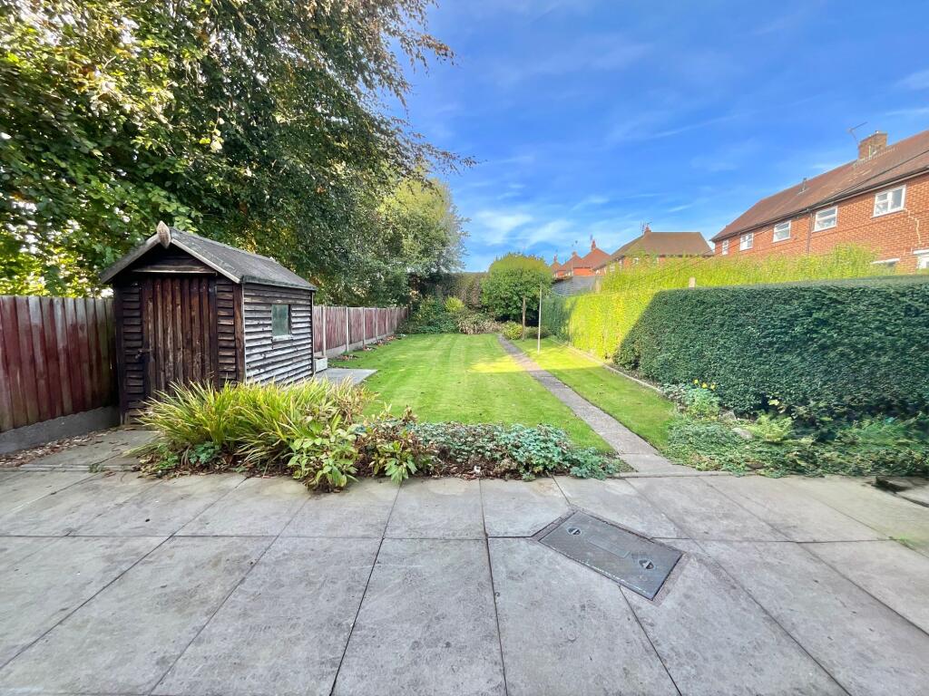
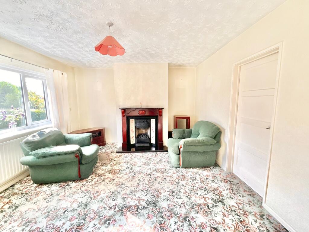
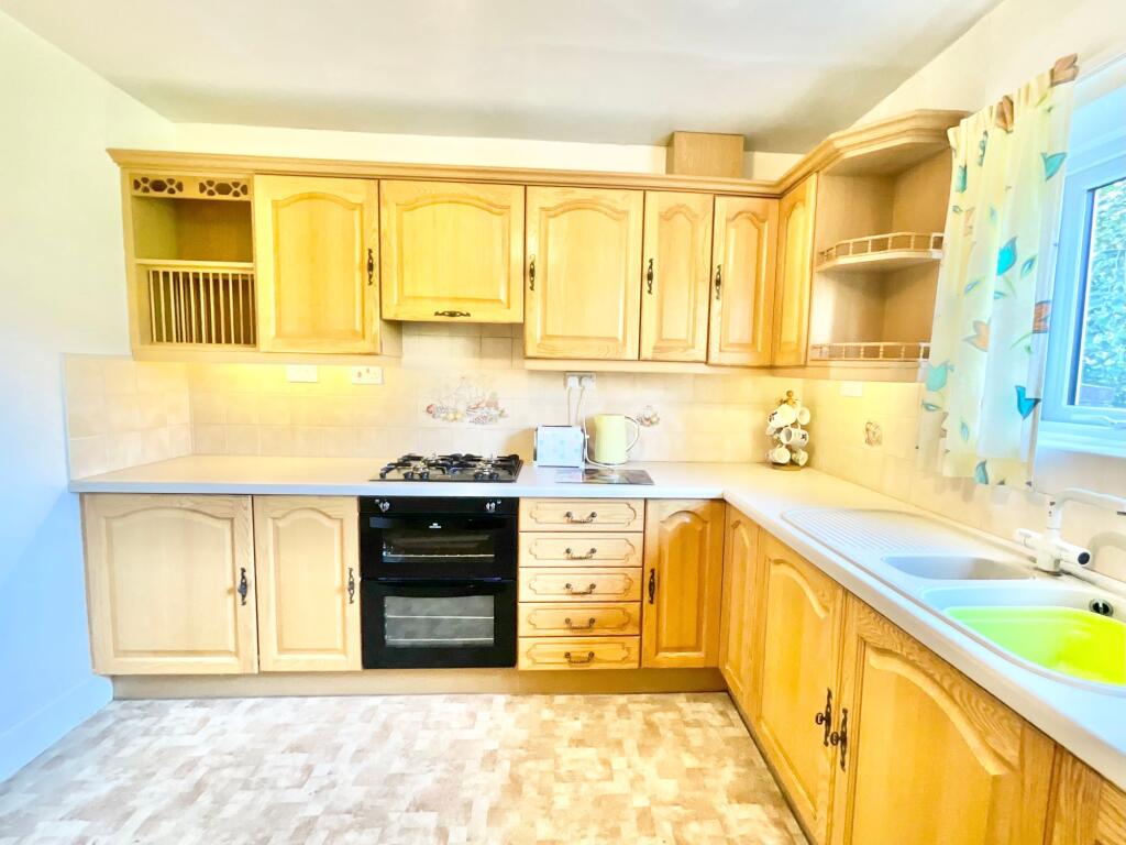
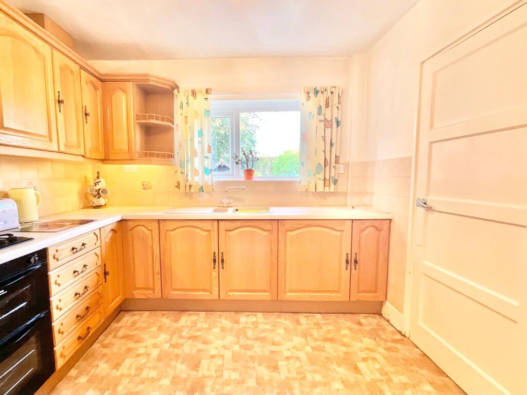
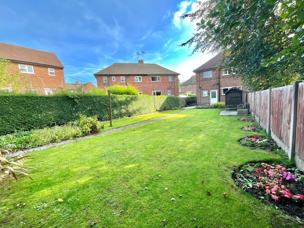
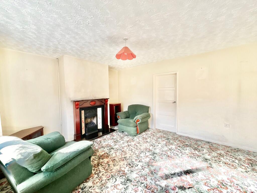
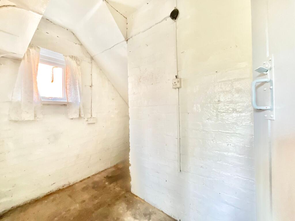
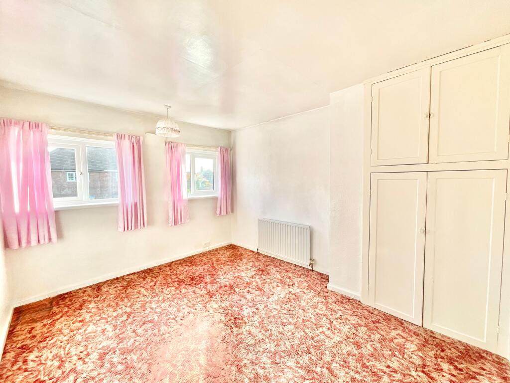

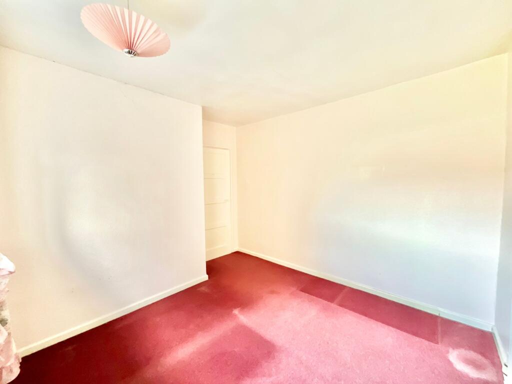
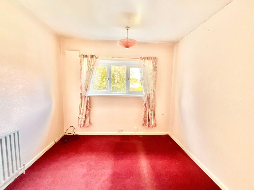
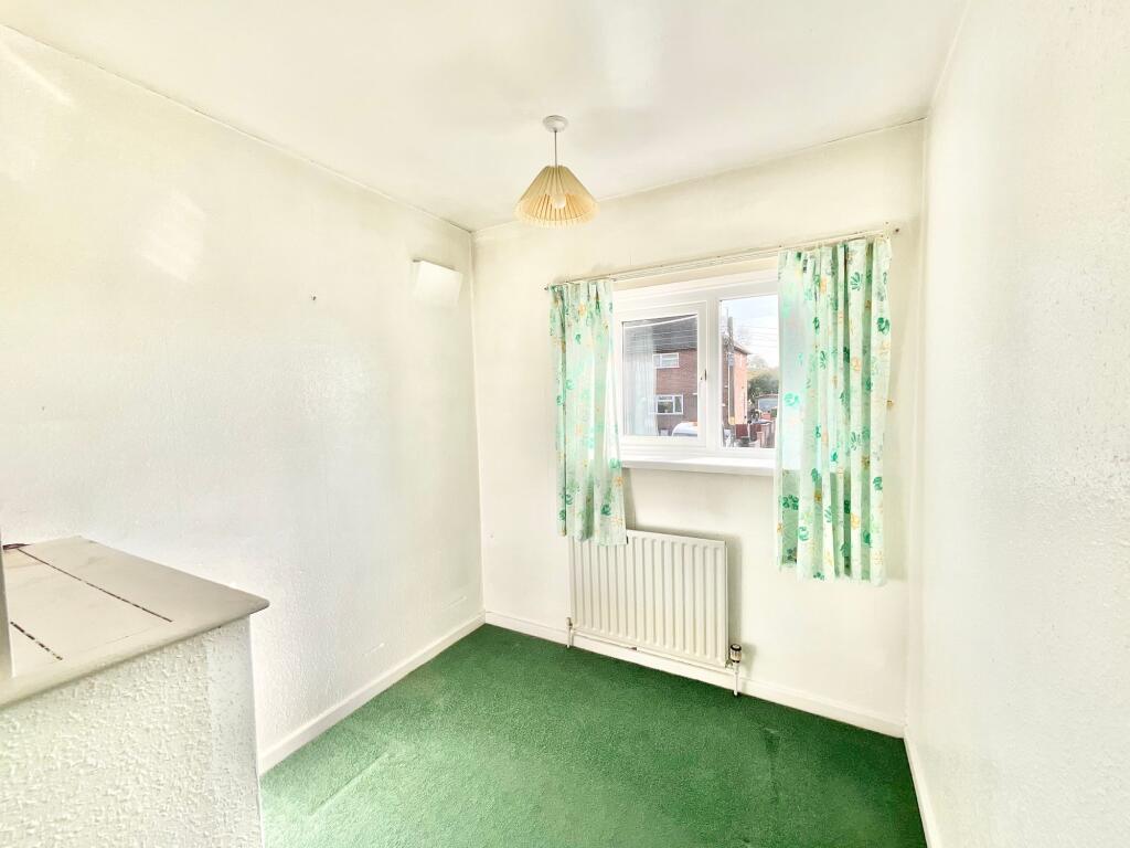
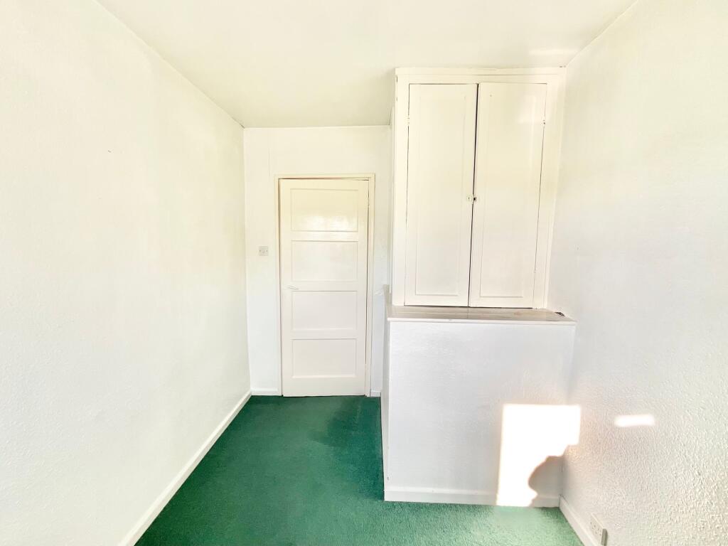


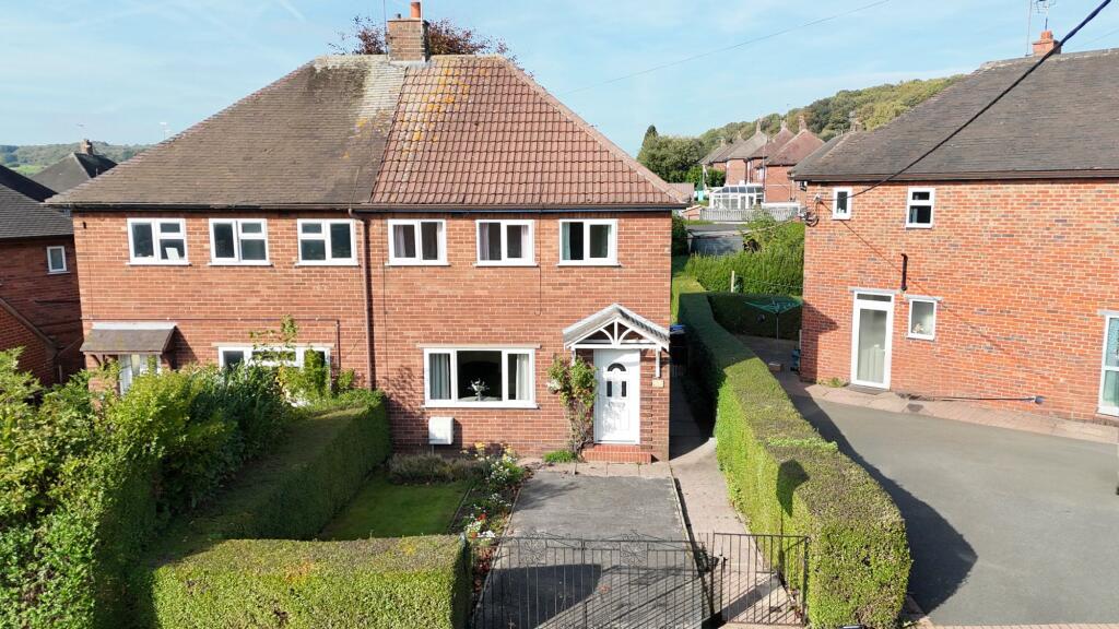
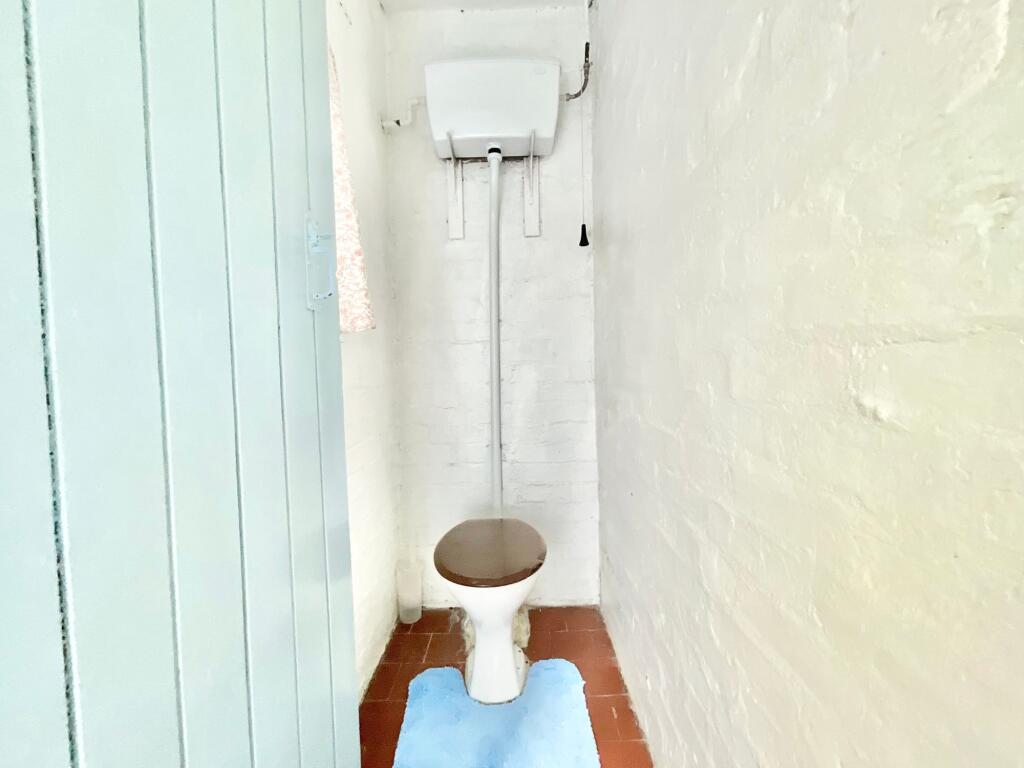
Photo 1 Photo 2 Photo 3 Photo 4 Photo 5 Photo 6 Photo 7 Photo 8 Photo 9 Photo 10 Photo 11 Photo 12 Photo 13 Photo 14 Photo 15 Photo 16 Photo 17 Photo 18
/ 18
Property details
Tenure
FREEHOLD
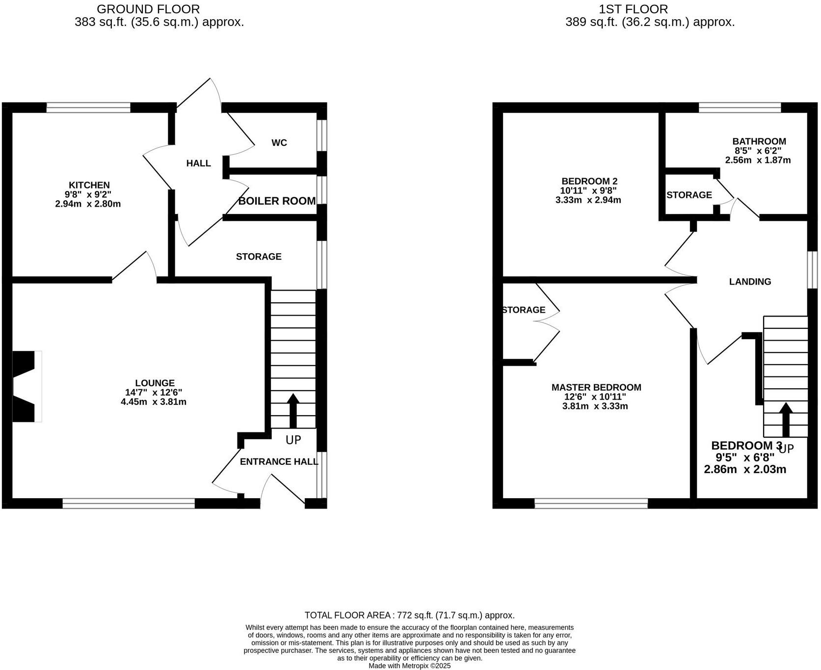
Floor area
77 m²
Council tax band
B
Local average
£205,675 (-14.5%)
Deprivation
Decile 7 (22,784 of 33,755)
Street crime
9 incidents within 1 mile (Apr 2026)
Key features
- The perfect blank canvas, requiring modernisation this home is ready to be made your own! With bright living room and functional kitchen, we also have a useful WC and utility area.
- Three bedrooms, two generous doubles and a versatile single with a family bathroom all on the first floor.
- The garden is a true delight, with a lush green lawn, beautifully maintained hedges, and vibrant flower beds creating the perfect outdoor sanctuary. A patio area invites you to relax with a coffee.
- For peace of mind, there’s also a gated driveway providing secure off-road parking.
- Nestled in the village of Tean with shops, cafés, and eateries, along with excellent schools and easy access to the A50, M1, and M6, everything you need is right on your doorstep.
Additional details
- Electricity
- Mains supply
- Broadband
- ADSL copper wire
- Water
- Mains supply
- Sewerage
- Mains supply
- Heating
- Gas central
- Parking
- Yes
- Garden
- Yes
- Listed property
- No
- Restrictions
- No
- Required access
- No
- Rights of way
- No
- Flooded in last 5 years
- No
- Flood defences
- No
Description
EPC Rating: D
Listed by
Cheadle
James Du Pavey Ltd
Reference: 87321891
EPC Rating & Upgrade Cost
Fetching EPC data… Refresh this page in a moment.
Flood risk
Zone: 1
Risk: Low
Job (default Low)
Floorplans
All

Site Plan
FENSA Certificates
This property has 1 FENSA certificate(s) on record, indicating window/door installations by FENSA-approved installers.
FENSA Certificate #8391564
Property Details
Street: 7 Wentlows Road
Town: Tean
Postcode: ST10 4DW
Installation Details
Items: 12 windows and 1 door
Certificate Issued: 19/09/2011
Work Completed: 30/08/2011
This certificate data was retrieved from FENSA's database
What is FENSA? FENSA (Fenestration Self-Assessment Scheme) is a government-authorised scheme that monitors building regulation compliance for replacement windows and doors. Certificates indicate that work was completed by FENSA-approved installers.
Price history
No sales history found for this property in Land Registry Price Paid data.
Sold Comparables
Same street and nearby sales within 0.25 miles (last 5 years). Data from Land Registry Price Paid.
| Address | Price | Date | Type |
|---|---|---|---|
| Same street 3 WENTLOWS ROAD, TEAN, STOKE-ON-TRENT, STAFFORDSHIRE MOORLANDS, STAFFORDSHIRE, ST10 4DW | £230,000 | 24/10/2022 | Semi-detached |
| 140 CHEADLE ROAD, TEAN, STOKE-ON-TRENT, STAFFORDSHIRE MOORLANDS, STAFFORDSHIRE, ST10 4DN | £235,000 | 07/10/2022 | Semi-detached |
| 72 CHEADLE ROAD, TEAN, STOKE-ON-TRENT, STAFFORDSHIRE MOORLANDS, STAFFORDSHIRE, ST10 4DN | £195,000 | 15/12/2021 | Semi-detached |
| Same street 2 WENTLOWS ROAD, TEAN, STOKE-ON-TRENT, STAFFORDSHIRE MOORLANDS, STAFFORDSHIRE, ST10 4DW | £160,000 | 18/06/2021 | Semi-detached |
| 28 TENFORD LANE, TEAN, STOKE-ON-TRENT, STAFFORDSHIRE MOORLANDS, STAFFORDSHIRE, ST10 4EN | £178,000 | 18/06/2021 | Semi-detached |
Street average: £195,000 (2 sales)
Area average: £202,667 (3 sales)
Capital growth trend
Land Registry outcode average: last 12 months vs 5y and 10y ago (from sold prices).
House Price Index (HM Land Registry — official index, not sold-price averages): Staffordshire Moorlands. Series: Semi-detached. As of March 2026.
Rental Range
Estimated market rent for Staffordshire Moorlands. Low = conservative, Realistic = average, Optimistic = best case.
Based on Local Authority from postcode lookup → Staffordshire Moorlands.
LHA (30th percentile) floor for Staffordshire North: £593/mo (Apr 2025 – Mar 2026)
Location
Address
7 Wentlows Road
Nearby
Nearest stations, universities and amenities (distance from property).
| Type | Name | Distance |
|---|---|---|
| Bus stop | Wentlows Road | 0.0 miles |
| Shop | Tean Co-Op | 0.4 miles |
| Shop | Mandy's Cakes | 0.4 miles |
| Hospital | Cheadle Hosptal | 1.8 miles |
| Train station | Blythe Bridge | 3.3 miles |
| Train station | Caverswall Road | 3.3 miles |
| Hospital | Longton Cottage Hospital | 5.7 miles |
| University | University of Staffordshire Stoke Campus | 8.4 miles |
Street-level crime
| Category | Count |
|---|---|
| Violence and sexual offences | 3 |
| Anti-social behaviour | 2 |
| Vehicle crime | 2 |
| Criminal damage and arson | 1 |
| Other theft | 1 |
| Total incidents | 9 |
Within 1 mile during Apr 2026. Source: data.police.uk (England & Wales).
Schools nearby
Nearest open schools with Ofsted ratings (England). Closed schools are not shown. Data from Get Information about Schools and Ofsted.
| Name | Type | Distance | Ofsted |
|---|---|---|---|
| St Thomas' Catholic Primary School | Primary | 0.3 miles | Outstanding — 5 Sep 2016 |
| Great Wood Community Primary School | Primary | 0.5 miles | Good — 5 Jan 2016 |
| Painsley Catholic College | Secondary | 1.5 miles | Good — 7 Jul 2022 |
| The Cheadle Academy | Secondary | 1.5 miles | Good — 23 Jun 2019 |
| Cheadle Primary School | Primary | 1.7 miles | Good — 21 Sep 2022 |
Rental Comparables
Loading rental comparables for this postcode. Refresh in a few minutes.
Rent-driven metrics
Based on Area rent estimate.
- Rent ratio — Monthly rent ÷ purchase price (1% rule). 1%+ = strong, 0.8–1% = okay, <0.8% = weak for cashflow.
- Max investor price — Rent ÷ 0.8%; the price at which rent would be 0.8% of price (Stoke-style target).
- Target investor price — Rent ÷ 1%; the price at which rent would be 1% of price (strong cashflow band).
- Gross yield — Annual rent as % of purchase price (no costs).