4 CHERRY AVENUE
MALTON, NORTH YORKSHIRE YO17 7DE
£550 pcm
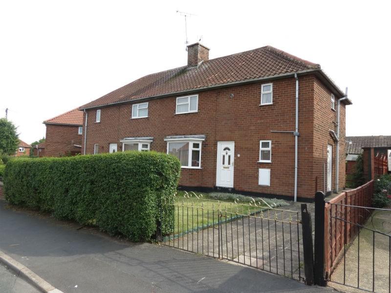
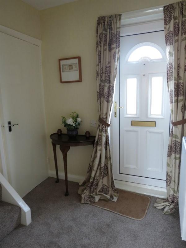
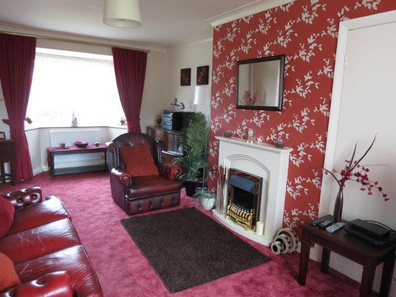
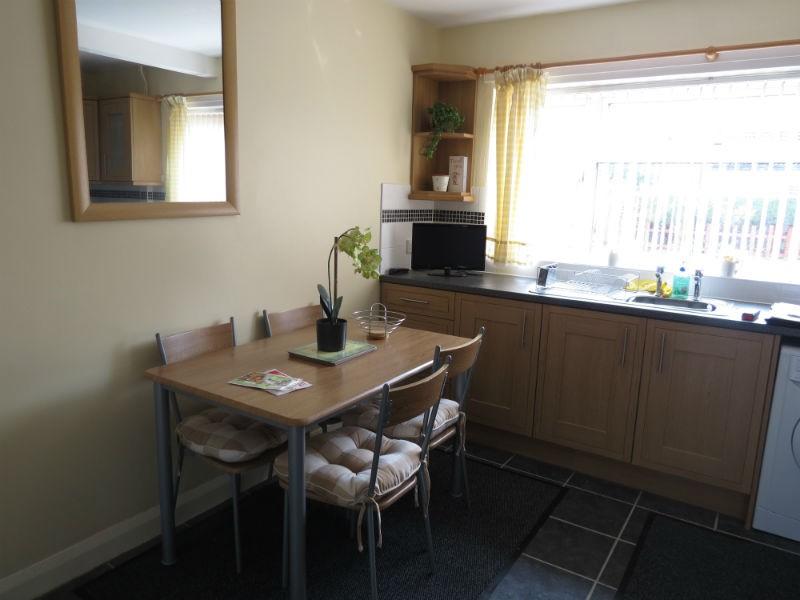
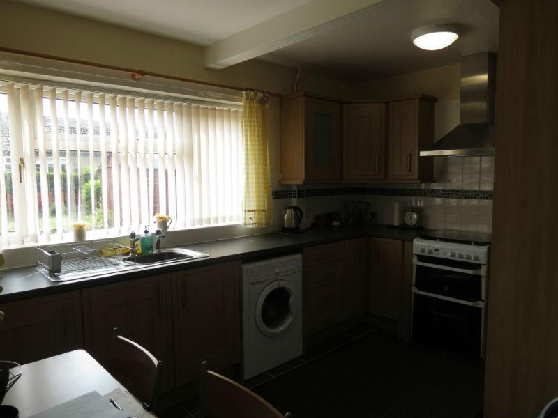
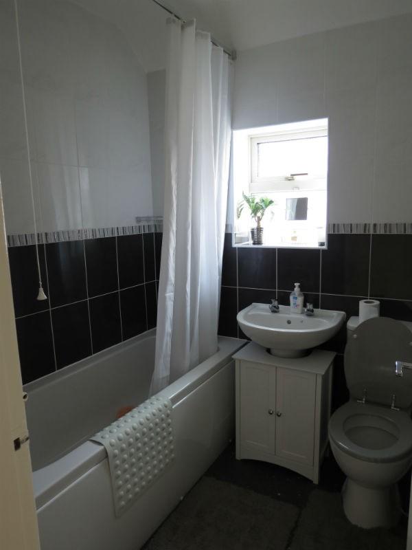
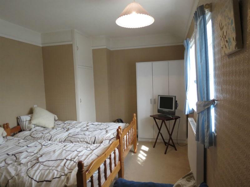
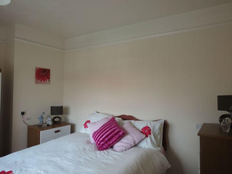
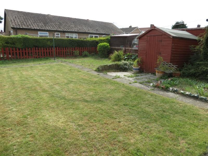
Photo 1 Photo 2 Photo 3 Photo 4 Photo 5 Photo 6 Photo 7 Photo 8 Photo 9
/ 9
Property details
Floor area
89 m²
Deprivation
Decile 4 (11,356 of 33,755)
Street crime
53 incidents within 1 mile (Apr 2026)
Key features
- Three bedrooms
- Semi detached
- Gas fired central heating
- Driveway parking
- Garden
- Part furnished
Additional details
- Parking
- Yes
- Garden
- Yes
Description
The accomodation comprises of:
GROUND FLOOR:
Entrance hall, kitchen/ diner, sitting room and rear lobby.
FIRST FLOOR:
Bedroom one, two and three. Bathroom and WC.
OUTSIDE:
Front: Lawned area. Stone path and driveway.
Rear: Large lawned area. Stone patio area. Brick store. Garden shed.
Listed by
Malton
Countrywide UK Lettings - Connells
Reference: 42875828
EPC Rating & Upgrade Cost
Fetching EPC data… Refresh this page in a moment.
Flood risk
Zone: 1
Risk: Low
Job (default Low)
EPC Graphs

EPC
FENSA Certificates
This property has 1 FENSA certificate(s) on record, indicating window/door installations by FENSA-approved installers.
FENSA Certificate #14267757
Property Details
Street: 4 Cherry Avenue
Town: MALTON
Postcode: YO17 7DE
Installation Details
Items: 3 windows and 1 door
Certificate Issued: 25/10/2020
Work Completed: 01/09/2020
This certificate data was retrieved from FENSA's database
What is FENSA? FENSA (Fenestration Self-Assessment Scheme) is a government-authorised scheme that monitors building regulation compliance for replacement windows and doors. Certificates indicate that work was completed by FENSA-approved installers.
Rental Range
Estimated market rent for Yorkshire and The Humber. Low = conservative, Realistic = average, Optimistic = best case.
Based on Region from postcode lookup → Yorkshire and The Humber.
LHA (30th percentile) floor for Scarborough: £648/mo (Apr 2025 – Mar 2026)
Location
Nearby
Nearest stations, universities and amenities (distance from property).
| Type | Name | Distance |
|---|---|---|
| Bus stop | Unknown | 0.1 miles |
| Shop | Morrisons Daily | 0.1 miles |
| Bus stop | Old Malton School | 0.5 miles |
| Shop | J B Motors | 0.5 miles |
| Hospital | Malton Community Hospital | 0.8 miles |
| Train station | Malton | 0.8 miles |
| Train station | Unknown | 4.5 miles |
Street-level crime
| Category | Count |
|---|---|
| Violence and sexual offences | 27 |
| Anti-social behaviour | 8 |
| Public order | 5 |
| Shoplifting | 4 |
| Criminal damage and arson | 3 |
| Vehicle crime | 3 |
| Other crime | 1 |
| Other theft | 1 |
| Possession of weapons | 1 |
| Total incidents | 53 |
Within 1 mile during Apr 2026. Source: data.police.uk (England & Wales).
Schools nearby
Nearest open schools with Ofsted ratings (England). Closed schools are not shown. Data from Get Information about Schools and Ofsted.
| Name | Type | Distance | Ofsted |
|---|---|---|---|
| St Mary's Catholic Primary School - a Catholic voluntary academy | Primary | 0.1 miles | Outstanding — 21 Mar 2014 |
| Malton Primary Academy | Primary | 0.1 miles | — (Inspected (no overall grade)) |
| Norton Community Primary School | Primary | 0.9 miles | Good — 20 Nov 2022 |
| Malton School | Secondary | 0.9 miles | Good — 4 Feb 2024 |
| Norton College | Secondary | 1.3 miles | Good — 28 Mar 2023 |
Rental Comparables
Residential lets from OpenRent and Rightmove for the area (same bedroom count). Use to validate rent estimates. Student lets are excluded.
| Title | Rent | Beds | Distance | As seen on |
|---|---|---|---|---|
| 3 Bed Detached House, Beckside, YO17 | £1,350/mo | 3 | 0.81 miles | OpenRent |
Average rent: £1,350/mo (1 listing)