FLAT 3
3 THAMES STREET, HAMPTON, GREATER LONDON TW12 2EW
£1,650 pcm
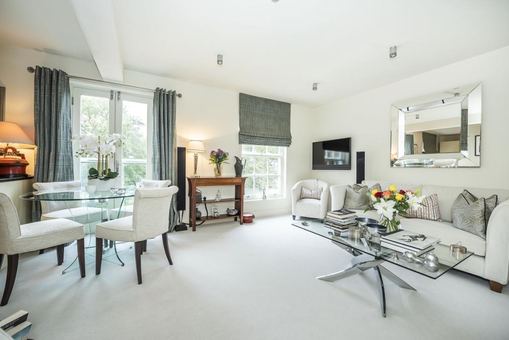
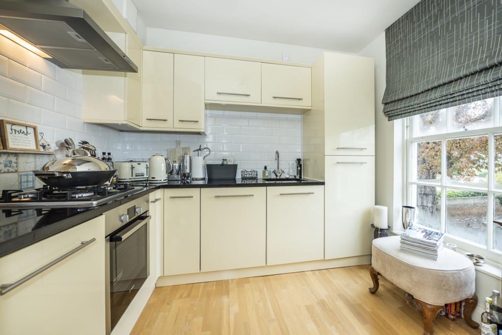
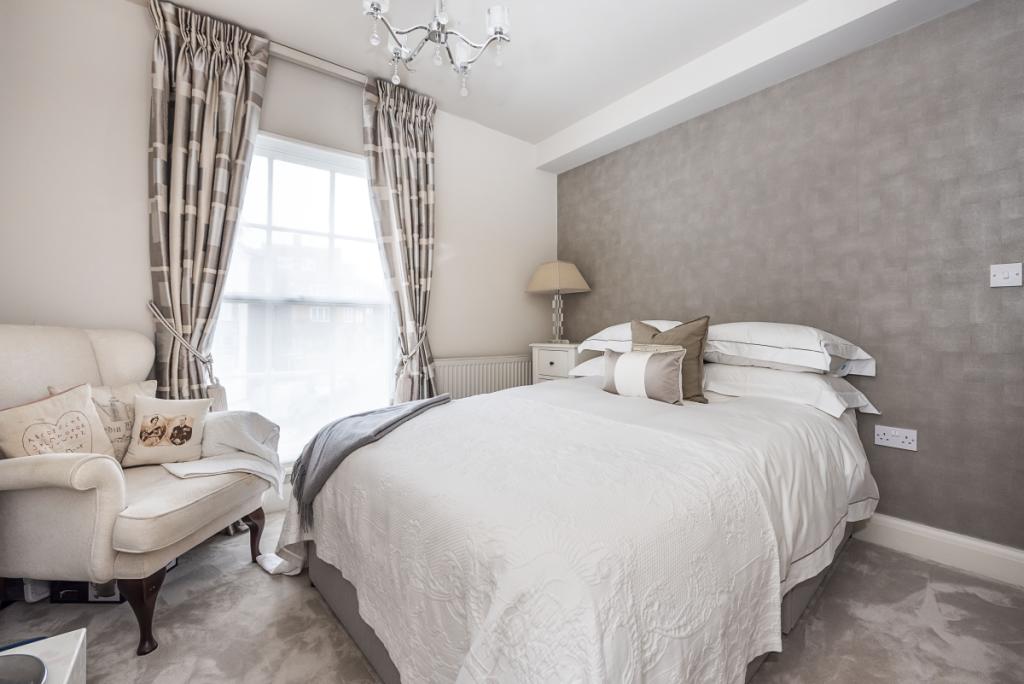
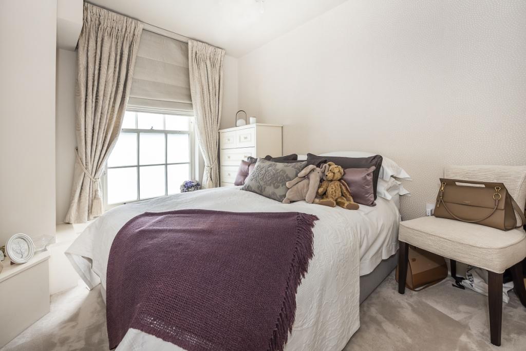

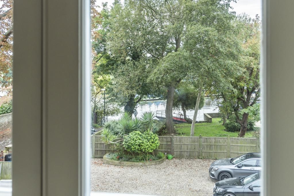
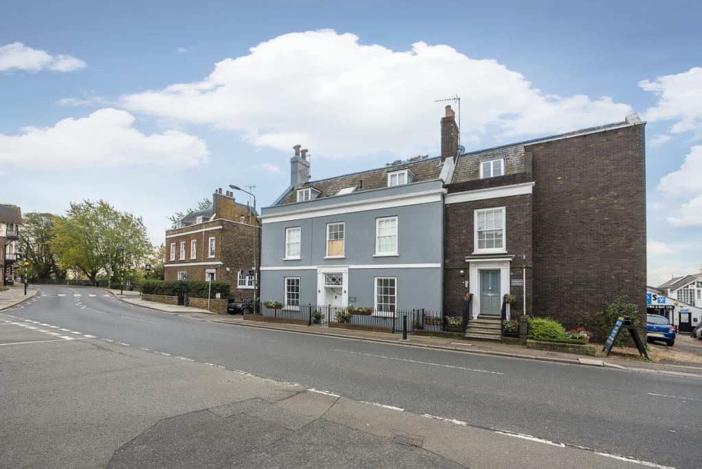
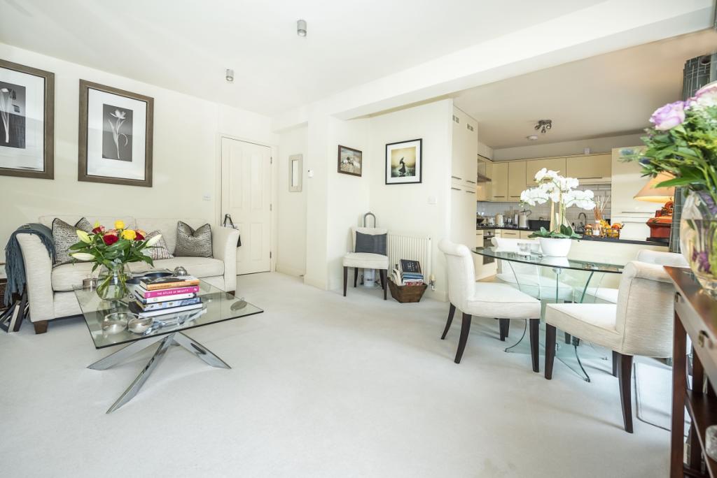
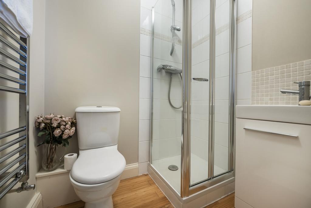
Photo 1 Photo 2 Photo 3 Photo 4 Photo 5 Photo 6 Photo 7 Photo 8 Photo 9
/ 9
Property details
Floor area
42 m²
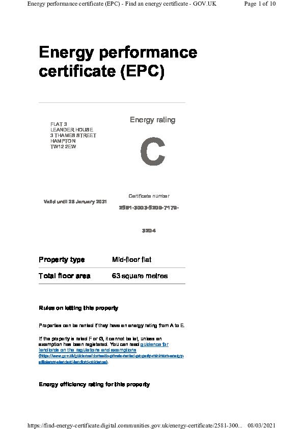
EPC rating
C
Year built
England and Wales: 1900-1929
Deprivation
Decile 9 (27,731 of 33,755)
Street crime
129 incidents within 1 mile (Apr 2026)
Key features
- Two Bedrooms
- Two Bathrooms
- River Views
- Off Street Parking
Additional details
- Parking
- Communal
Description
The area is renowned for a picturesque stretch of the River Thames close to Hampton Court Palace, its extensive green open spaces and excellent local schools. Comprehensive shopping facilities can be found in nearby Kingston.
Hampton station offers a regular and direct service to London Waterloo (approx. 40 mins). Heathrow Airport is approx. 5 miles away and the area is well served by the road network with the A316/M3, M25 and A3 all easily accessible.
Listed by
Teddington & Twickenham
Countrywide Hamptons Lettings - Connells
Reference: 82153479
EPC Rating & Upgrade Cost
Current rating: C
Potential rating: C
Inspection date: 31/08/2022
Expiry date: 30/08/2032
Current heating cost: £265/year
Potential heating cost: £242/year
Est. upgrade cost to C: £4,900
Recommendations
- Replace single glazed windows with low-E double glazing (£3,300 - £6,500)
Flood risk
Zone: 1
Risk: Low
Job (default Low)
Floorplans
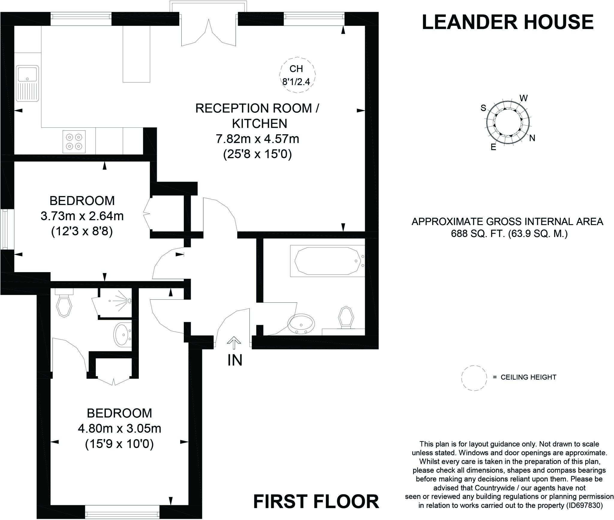
Floorplan 1
EPC Graphs
EPC 1
Rental Range
Estimated market rent for Richmond upon Thames. Low = conservative, Realistic = average, Optimistic = best case.
Based on Local Authority from postcode lookup → Richmond upon Thames.
LHA (30th percentile) floor for South West Herts: £1,247/mo (Apr 2025 – Mar 2026)
Location
Nearby
Nearest stations, universities and amenities (distance from property).
| Type | Name | Distance |
|---|---|---|
| Shop | Unknown | 0.0 miles |
| Bus stop | Algar Court | 0.1 miles |
| Bus stop | Hampton / Thames Street | 0.1 miles |
| Train station | Hampton | 0.4 miles |
| Hospital | Molesey Community Hospital | 1.2 miles |
| Train station | Hampton Court | 1.2 miles |
| Hospital | Teddington Memorial Hospital | 1.3 miles |
| University | Unknown | 1.6 miles |
| University | St Mary's University, Twickenham | 2.0 miles |
Street-level crime
| Category | Count |
|---|---|
| Violence and sexual offences | 49 |
| Anti-social behaviour | 27 |
| Public order | 16 |
| Criminal damage and arson | 8 |
| Vehicle crime | 6 |
| Other theft | 5 |
| Shoplifting | 5 |
| Bicycle theft | 3 |
| Burglary | 3 |
| Drugs | 2 |
| Theft from the person | 2 |
| Other crime | 1 |
| Possession of weapons | 1 |
| Robbery | 1 |
| Total incidents | 129 |
Within 1 mile during Apr 2026. Source: data.police.uk (England & Wales).
Schools nearby
Nearest open schools with Ofsted ratings (England). Closed schools are not shown. Data from Get Information about Schools and Ofsted.
| Name | Type | Distance | Ofsted |
|---|---|---|---|
| Twickenham Preparatory School | Other | 0.2 miles | — (No rating) |
| Hampton Junior School | Primary | 0.5 miles | Outstanding — 3 Jul 2024 |
| St Mary's Hampton Church of England Primary | Primary | 0.6 miles | — (Inspected (no overall grade)) |
| Hurst Park Primary Academy | Primary | 0.6 miles | Good — 26 Apr 2023 |
| Hampton Infant School and Nursery | Primary | 0.7 miles | Outstanding — 14 Dec 2023 |
Rental Comparables
Rental comparables are temporarily unavailable while listing-site fetches are paused. Try again later.