51 HEATH ROAD
HOUNSLOW, GREATER LONDON TW3 2NJ
£1,895 pcm
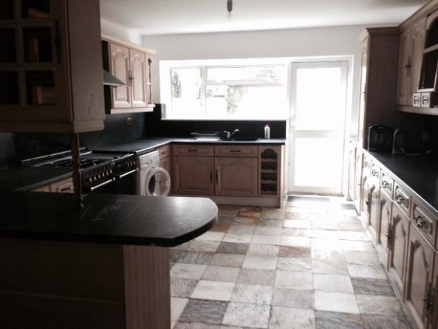
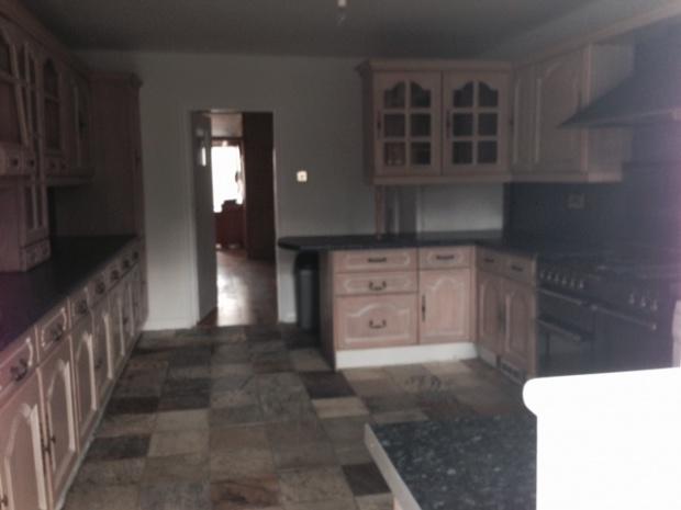
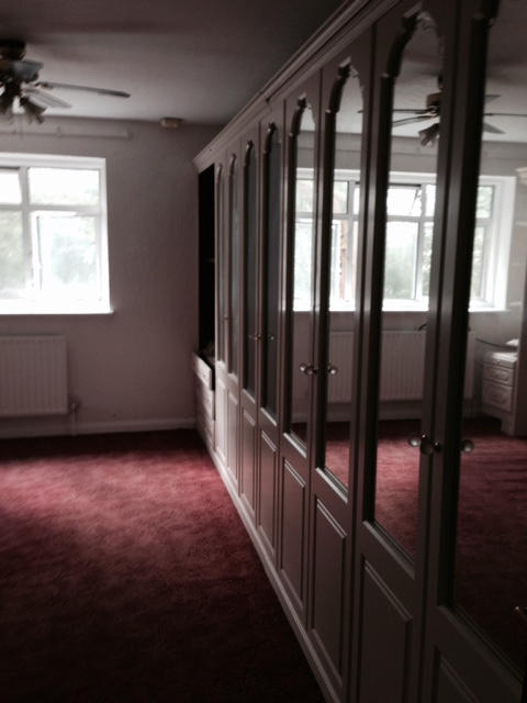
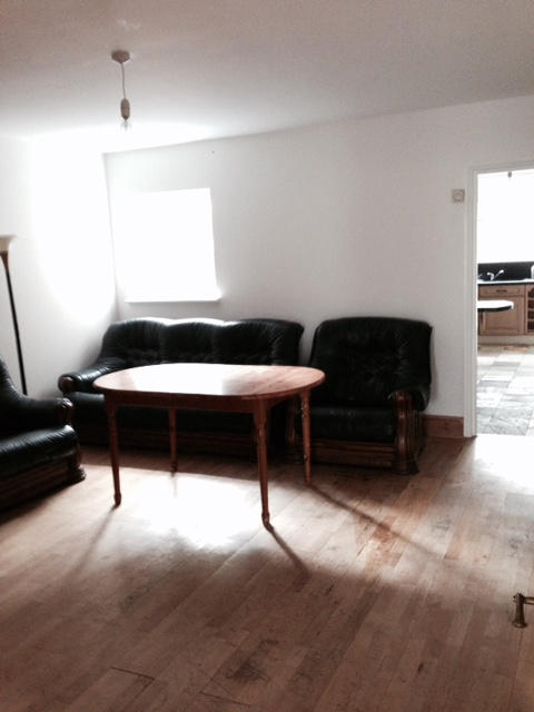
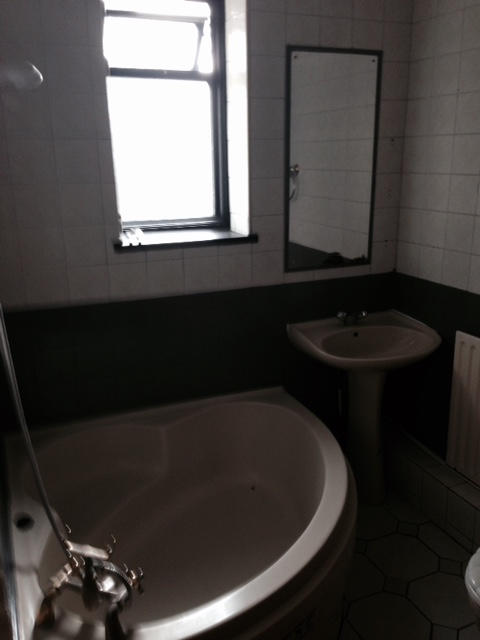
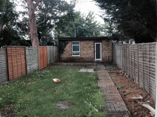
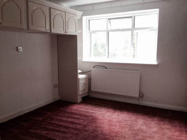
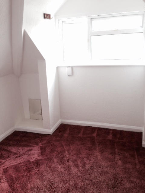
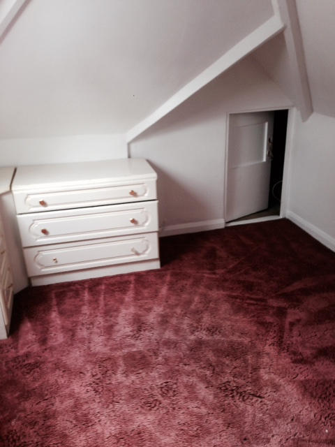
Photo 1 Photo 2 Photo 3 Photo 4 Photo 5 Photo 6 Photo 7 Photo 8 Photo 9
/ 9
Property details
Floor area
118 m²
EPC rating
E
Year built
England and Wales: 1930-1949
Deprivation
Decile 2 (4,887 of 33,755)
Street crime
782 incidents within 1 mile (Apr 2026)
Additional details
- Parking
- Yes
- Garden
- Yes
Description
Listed by
Hounslow
Bassetts
Reference: 55063577
EPC Rating & Upgrade Cost
Current rating: E
Potential rating: C
Inspection date: 25/10/2020
Expiry date: 24/10/2030
Current heating cost: £1,265/year
Potential heating cost: £646/year
Est. upgrade cost to C: £19,935
Recommendations
- 50 mm internal or external wall insulation (£4,000 - £14,000)
- Floor insulation (suspended floor) (£800 - £1,200)
- Low energy lighting for all fixed outlets (£35)
- Upgrade heating controls (£350 - £450)
- Solar water heating (£4,000 - £6,000)
- Solar photovoltaic panels, 2.5 kWp (£3,500 - £5,500)
Flood risk
Zone: 1
Risk: Low
Job (default Low)
Rental Range
Estimated market rent for Hounslow. Low = conservative, Realistic = average, Optimistic = best case.
Based on Local Authority from postcode lookup → Hounslow.
LHA (30th percentile) floor for Outer West London: Apr 2025 – Mar 2026
Location
Nearby
Nearest stations, universities and amenities (distance from property).
| Type | Name | Distance |
|---|---|---|
| Bus stop | Heath Road | 0.0 miles |
| Train station | Hounslow | 0.1 miles |
| Shop | Sanco | 0.2 miles |
| Shop | One Stop | 0.2 miles |
| Train station | Hounslow Central | 0.6 miles |
| Hospital | Hounslow Medical Centre | 0.8 miles |
| University | University of West London | 4.0 miles |
| University | University of West London - Hellenic Institute Of Maritime Studies | 4.0 miles |
| Hospital | Bridge Lane Health Centre | 8.4 miles |
Street-level crime
| Category | Count |
|---|---|
| Violence and sexual offences | 216 |
| Anti-social behaviour | 153 |
| Shoplifting | 96 |
| Public order | 48 |
| Drugs | 44 |
| Vehicle crime | 44 |
| Criminal damage and arson | 41 |
| Other theft | 40 |
| Theft from the person | 36 |
| Burglary | 31 |
| Robbery | 12 |
| Other crime | 10 |
| Bicycle theft | 9 |
| Possession of weapons | 2 |
| Total incidents | 782 |
Within 1 mile during Apr 2026. Source: data.police.uk (England & Wales).
Schools nearby
Nearest open schools with Ofsted ratings (England). Closed schools are not shown. Data from Get Information about Schools and Ofsted.
| Name | Type | Distance | Ofsted |
|---|---|---|---|
| Chatsworth Primary School | Primary | 0.3 miles | Good — 27 Mar 2019 |
| Oak Heights Independent School | Other | 0.4 miles | Good — 24 Sep 2023 |
| Hounslow Town Primary School | Primary | 0.4 miles | Good — 27 Jan 2022 |
| Kingsley Academy | Secondary | 0.5 miles | Good — 13 Nov 2019 |
| Grove Road Primary School | Primary | 0.5 miles | Good — 25 May 2013 |
Rental Comparables
Residential lets from OpenRent and Rightmove for the area. Bedroom counts vary — use the Beds column to compare like-for-like lets. Student lets are excluded.
| Title | Rent | Beds | Distance | As seen on |
|---|---|---|---|---|
| Studio Flat, Heath Road, TW3 | £995/mo | 1 | 0.02 miles | OpenRent |
| Studio Flat, Hanworth Road, TW3 | £1,200/mo | 1 | 0.22 miles | OpenRent |
| 4 Bed Terraced House, Chapel Road, TW3 | £2,895/mo | 4 | 0.24 miles | OpenRent |
| Studio Flat, Millwood Rd, TW3 | £975/mo | 1 | 0.27 miles | OpenRent |
| 2 Bed Flat, Grove Road, TW3 | £1,800/mo | 2 | 0.29 miles | OpenRent |
| 3 Bed Semi-Detached House, Grove Road, TW3 | £2,250/mo | 3 | 0.39 miles | OpenRent |
| Studio Flat, Gravity West Court, TW3 | £1,475/mo | 1 | 0.41 miles | OpenRent |
Average rent: £1,656/mo (7 listings)